
Hike Schedule
Join us for a hike! Registration required.
All hikes available to BTC members. Some hikes are open to non-members.
See Refund Policy for Paid Hikes >
TIP: The calendar view displays up to 7 hikes on a day, but often there are more. Click “View more events” to see them all.
Categories
- 08June 8, 2025

Camino Hike
https://hikesstaging.brucetrail.org/event/camino-hike-2/Sorry, the registration cut-off time for this hike has been reached.Not a member? Click here to join today!Hosting Club: Iroquoia
Category: Camino Hikes
Location (Google Maps): City View Park – Please enter via Dundas St onto Kerns Rd, second left to the parking area.Hike Leader(s): Ruth Moffatt Click here to contact Hike Leader(s)
Pace: Medium – 3 to 4 km/hr
Terrain: Moderate – Some hills and/or some poor footing, Strenuous – Hilly with steep climbs and some poor footing, Dependent on Conditions
Distance: 8ishDescription
Please join us for a Camino Hike. If you are curious about hiking a camino or would like to share information about hiking a camino, please join us for this hike. Everyone is welcome.Please bring enough water and snacks. We will hike about 8km return. Check for the weather and dress appropriately – wide brimmed hat and sunscreen is recommended as well as sturdy hiking shoes/boots and poles, if you use them.
Speyside to Halton Forest (E2E)
https://hikesstaging.brucetrail.org/event/speyside-to-halton-forest-e2e/Sorry, the registration cut-off time for this hike has been reached.Not a member? Click here to join today!Hosting Club: Iroquoia
Category: General Hike
Location (Google Maps): Meet at the Pear Tree parking lot at Speyside on 15 Side Road at 9:15 am.Hike Leader(s): Karen Bergmann Click here to contact Hike Leader(s)
Pace: Medium – 3 to 4 km/hr
Terrain: Moderate – Some hills and/or some poor footing
Distance: 8 kmsDescription
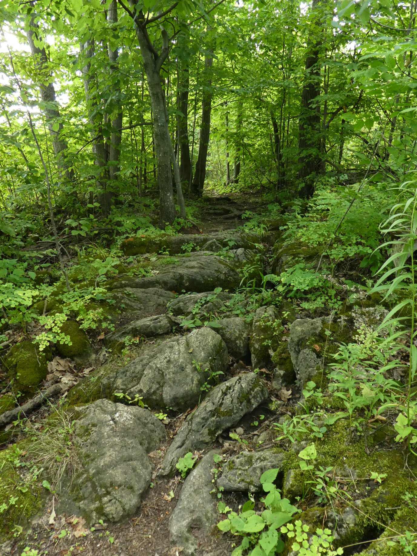
This is an end to end hike. We will carpool from the parking lot on 15 Side Road to 6th Line at the Halton Agreement Forest and hike back along the Hilton Falls Side Trail, Al Shaw Side Trail and the main trail. This trail has some serious rocks and we cross a couple of creeks. Bring bug spray, just in case.
Yoga + Hike Fundraiser
https://hikesstaging.brucetrail.org/event/yoga-hike-fundraiser/Sorry, the registration cut-off time for this hike has been reached.Not a member? Click here to join today!Hosting Club: Caledon Hills
Category: General
Location (Google Maps): Meet at the BTC parking lot, 713377 1st Line EHS, Mono. It is easier to go north on 1st Line from Side Road 5 than it is to go south on 1st Line from Hockley Road. 1st Line is not maintained between the parking lot and Hockley Road. It is best to aim for arriving around 9:15 am, so we can start our yoga session as close to 9:30 as possible. Thanks!Hike Leader(s): Elizabeth Ganong and Sandy Green Click here to contact Hike Leader(s)
Pace: Medium – 3 to 4 km/hour
Terrain: Moderate – some hills and/or some poor footing
Distance: Approximately 6.5 kmDescription
Join us for the CHBTC’s first Yoga + Hike Fundraiser happening at Riverside Woods. Led by Elaine Vallevand, we start with an outdoor yoga session at 9:30 am. Bring your mat! Light refreshments will be provided following our yoga session. During this break, you will have time to put your mat in your vehicle and get ready to hike. By 11 am, we should be on the trails. The approximately 6.5 km hike will allow us to continue our time together in nature. Plan to be finished before 1 pm.100% of the proceeds will support maintaining and preserving the Bruce Trail. Our kind and giving yoga instructor is donating her time, the refreshments are donated by our generous members, and of course, our hike leaders are donating their time. Thank you for your generosity in making this inaugural CHBTC event a success!
Registration opens on May 10th at 8 am! While there are no refunds for this event, you may name a person who will take your spot. Please message the hike leaders to name the person attending in your place. Thanks!
Things to consider bringing: a water bottle, a mat, a blanket (if you want a larger area on the grass covered), insect repellent, sunscreen, a hat, hiking shoes/boots, poles, a snack/lunch

Dufferin Hi-Land 60th Anniversary Badge End-to-End Hike #2
https://hikesstaging.brucetrail.org/event/dufferin-hi-land-60th-anniversary-badge-end-to-end-hike-2/Sorry, the registration cut-off time for this hike has been reached.Not a member? Click here to join today!Hosting Club: Dufferin Hi-Land
Category: Special Events
Location (Google Maps): Roadside parking on west side of 2nd Line E. just south 2nd Line ECL Side Trail. BTC Map 20 about .5 km south of km 25.7.Hike Leader(s): Stuart Law Click here to contact Hike Leader(s)
Pace: Medium
Terrain: Slippery and Steep Sections, Strenuous
Distance: 15.6 kmsDescription
Join us on the second of four hikes to cover the necessary 60 kms of the Dufferin Section in 2025 to earn the coveted Dufferin Hi-Land 60th Anniversary Badge. This is a shuttle hike from 20 Sideroad to 2nd Line just south of the Oliver Creek Side Trail. We will climb the famous Kilgorie Hill – one of the most challenging climbs on the entire Bruce Trail. Please be prepared to use your vehicle to transport hikers and please bring a garbage bag for your dirty boots and clean footwear to change into for the ride back to the start. We will leave those things in the cars at the start so you don’t have to carry them on the hike. Please make sure you are wearing comfortable boots and layers for the weather. Please pack your icers just in case as well as bug spray and sunblock. Please bring two litres of water, a snack, a lunch and a smile. Please arrive at 9:30 to be ready to shuttle at 9:45 sharp.
Urban Walk: Toronto Urban Badge Hike - 5 of 7
https://hikesstaging.brucetrail.org/event/urban-walk-toronto-urban-badge-hike-5-of-7-2/Sorry, the registration cut-off time for this hike has been reached.Not a member? Click here to join today!Hosting Club: Toronto
Category: Urban Walk
Location (Google Maps): Finch Hydro Corridor West/EastHike Leader(s): Brian Rideout Click here to contact Hike Leader(s)
Pace: Moderate (3-4 km/hr)
Terrain: Flat
Distance: 9.6 kmDescription
Please join me at the north east corner of Bathurst and Finch by 10 AM. We will hike east on the Finch Hydro Corridor Trail and south along East Don Parklands to Sheppard and Leslie (km 41.6 to km 51.2). Here is an online map with km markings of our route for all 7 hikes for the Toronto Urban Badge: https://onthegomap.com/s/c2c1hf3nPlease make sure you bring at least 2 liters of water, a lunch, bug spray and sunscreen.
- 09June 9, 2025No events
- 10June 10, 2025
8:00 Long Hike Wiley Road Short Hills (NEW TIME)
https://hikesstaging.brucetrail.org/event/800-long-hike-wiley-road-short-hills-new-time-6/Sorry, the registration cut-off time for this hike has been reached.Not a member? Click here to join today!Hosting Club: Niagara
Location (Google Maps):
Short Hills Wiley Road Entrance
Pace: Medium
Terrain: Moderate
: 10kmDescription
Explore Short Hills and the majestic side trails of Scarlett Tanager, Hemlock. Swayze Falls and Terrace. Register for each hikeBring Poles, Sun Screen Bug Spray, snack, and dress for the weather
Dufferin Hi-Land 60th Anniversary Highlight Hikes, Hike #8: Honeywood Ridge
https://hikesstaging.brucetrail.org/event/dufferin-hi-land-60th-anniversary-highlight-hikes-hike-8-honeywood-ridge/Sorry, the registration cut-off time for this hike has been reached.Not a member? Click here to join today!Hosting Club: Dufferin Hi-Land
Category: Tuesday Hike
Location (Google Maps): Dufferin Hi-Land, Map 21. Meet at roadside parking on the northeast corner 20 Sideroad and Prince of Wales Rd. (km 40.7, Edition 31). Please note, this is a shuttle hike.Hike Leader(s): Julie Daley, Les Babbage, Inge Eckerich, Tony Evangelista Click here to contact Hike Leader(s)
Pace: Leisurely
Terrain: Moderate, Slippery and Steep Sections
Distance: 5 kmDescription
After meeting on the 20 Sideroad, we will shuttle to our starting point on Centre Rd (km 46.7). We will hike west along the main trail, crossing Prince of Wales to Honeywood Ridge, have a snack on the edge of the forest, and continue south to our cars. Poles are suggested.
Afternoon hike - Limehouse Conservation Area
https://hikesstaging.brucetrail.org/event/afternoon-hike-limehouse-conservation-area/Sorry, the registration cut-off time for this hike has been reached.Not a member? Click here to join today!Hosting Club: Iroquoia
Category: Afternoon/Evening Hikes
Location (Google Maps): Meet at 4:15 pm in the parking lot at Limehouse Conservation Area.Hike Leader(s): Karen Bergmann Click here to contact Hike Leader(s)
Pace: Medium – 3 to 4 km/hr
Terrain: Moderate – Some hills and/or some poor footing
Distance: 7 kmsDescription
The trees will be leafing out so we will be surrounded by green. We will hike around the park and then briefly out along the main trail to the Todd Bardes Meadowland Side Trail and back. Bring bug spray in case they have awakened. - 11June 11, 2025
Bluebirds, Meadowlarks and More
https://hikesstaging.brucetrail.org/event/bluebirds-meadowlarks-and-more/Sorry, the registration cut-off time for this hike has been reached.Not a member? Click here to join today!Hosting Club: Caledon Hills
Category: Nature Walks
Location (Google Maps): Meet at parking lot on Mono 5 Sideroad at km 45.4 where the trail crosses. Take Airport Road north on Mono Mills to 5 Sideroad. Turn east on 5 Sideroad to the parking lot on north side of road.Hike Leader(s): Gary Hall Click here to contact Hike Leader(s)
Pace: Leisurely – 3 km/hour or less
Terrain: Moderate – some hills and/or some poor footing
Distance: 3 – 4 kmDescription
This will be a car hike. From our meeting place, we’ll make a short car pool to the Bruce Trail Parking lot on the 7th Line Mono (corner of 7th Line and Airport Road) . We’ll begin by exploring the Humber Heights property and listen and watch for Bluebirds, Meadowlarks, Indigo Buntings, Field Sparrows as well as other grassland species. We’ll then retrace our steps on Humber Heights and follow the main trail through Twin Waters (a new BTC property), Mathilde’s Way and The Gosling Forest and Nature Reserve and finish at the car park on 5 Sideroad. With the exception of a 600 metre walk along the 7th Line, the hike will be entirely on BTC properties – four in all. Bring binoculars, camera, and cell phone. The Merlin App will help identify bird songs.WEDNESDAY WALKERS - East of Kolapore
https://hikesstaging.brucetrail.org/event/wednesday-walkers-east-of-kolapore-3/Sorry, the registration cut-off time for this hike has been reached.Not a member? Click here to join today!Hosting Club: Beaver Valley
Location (Google Maps): Park in the Kolapore parking lot, near Km 27.9, Map 25, Edition 31, for a car shuttle to the start of our hike.
Hike Leader(s): Margaret Yaraskavitch Click here to contact the hike leader.
Pace: Medium
Terrain: Moderate
Length of Hike: 4.7 kms + 650 m of roadDescription
We will walk south from 12th Sideroad and as we walk through deciduous forest, we’ll cross a piece of history, remnants of The Old Mail Road. We continue south, crossing Grey Road 19, through property that is managed by the BTC, until we return to our cars. Please bring water and a snack.