
Hike Schedule
Join us for a hike! Registration required.
All hikes available to BTC members. Some hikes are open to non-members.
See Refund Policy for Paid Hikes >
TIP: The calendar view displays up to 7 hikes on a day, but often there are more. Click “View more events” to see them all.
Categories
- 08June 8, 2024
Bus Hike: International Hike - Niagara Gorge & Goat Island
https://hikesstaging.brucetrail.org/event/bus-hike-international-hike-niagara-gorge-goat-island/Sorry, the registration cut-off time for this hike has been reached.Not a member? Click here to join today!Trip Information
Departure Time: 08:00
Return to City Time: 18:30
Departure Point: Kipling Departure PointOptional Items
Rainbow Bridge Pedestrian Toll ($1.00)Hosting Club: Toronto
Category: Bus Hike
Location (Google Maps): The bus will drop us off in Niagara Falls, Canada and we will hike to and across the Rainbow Bridge to the USA.Hike Leader(s): Tom Swales, Celia Ho, Smadar Junkin, Jacquie Van Dyke Click here to contact Hike Leader(s)
Pace: Fast, Moderate
Terrain: Hilly, Rocky, Variable
Distance: 14 kmDescription
Join us for an International Hike adventure where we will hike across the Rainbow Bridge to the Niagara State Park and descend into the Niagara Gorge Trails downriver from the Falls. Recommended for experienced hikers as some parts will be more technically challenging and some boulder hopping and a steep staircase will be involved. From the site of the Schoellkopf Power plant we will have good views of the Rainbow Bridge and the Horseshoe Falls. Before returning to the Canadian side will hike a portion of Goat Island for a closeup view of the American Falls. You will need to bring (1) a $1.00 coin for the pedestrian bridge toll to be collected by automated tollgate before exiting Canada and (2) a valid Canadian Passport. The Hike Leaders will verify all hikers have a valid passport as you check in and board the bus. There will be two groups – a moderate pace with Tom and Celia and a faster pace with Smadar and Jacquie. For day travel to the USA emergency medical medical insurance coverage, available for a few dollars, is strongly recommended.Car Hike: Wilder Forest Uxbridge
https://hikesstaging.brucetrail.org/event/car-hike-wilder-forest-uxbridge-7/Sorry, the registration cut-off time for this hike has been reached.Not a member? Click here to join today!Hosting Club: Toronto
Location (Google Maps): 2499 Brock Road, Uxbridge, ON there is a free parking when you enter the road off brock road beside Horse training facility
Hike Leader(s): Mohammad Aghamiri Click here to contact Hike Leader(s)
Pace: Moderate
Terrain: Hilly, Variable
Distance: 14-17 kmDescription
We will explore Wilder forest and the beautiful scenery of Uxbridge forests.Some safety procedures during the hike:
1-Hikers must stay between the leader and the sweep.
2-Hikers must advise the leader or the sweep if they wish to leave the group.
3- Hikers must follow the whistle instructions: 1 blast- stay where you are; 2 blasts come to the leader; 3 blasts – come to the leader quickly.
4-Hike leader may request volunteers to stop at trail intersections, they need to help hikers to the direction the group walk and wait till they see the sweep .
5-Hikers have to make sure they can see the persons behind and in front of them.
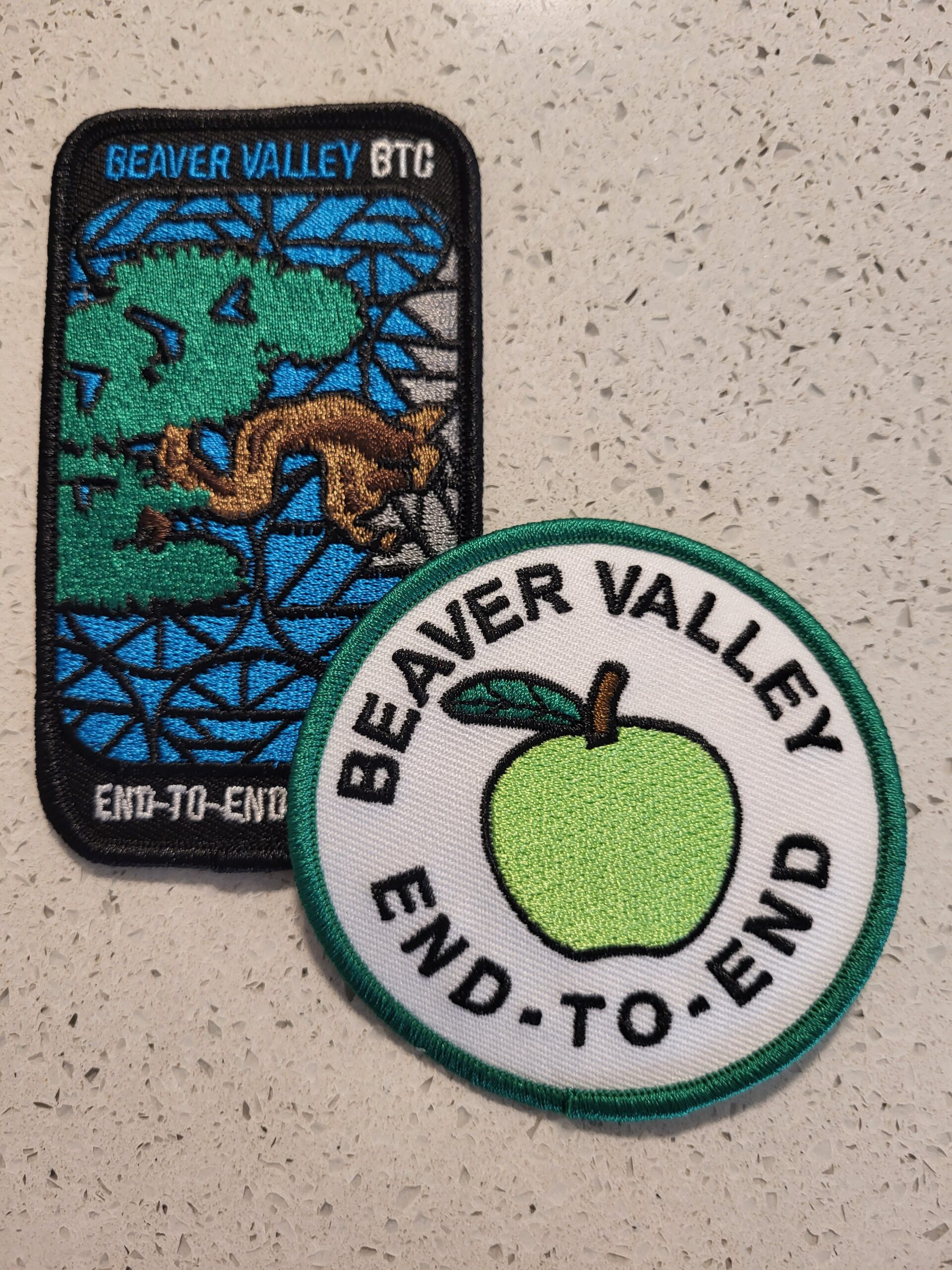
Saturday Seekers BV E2E - Choice of Badge!
https://hikesstaging.brucetrail.org/event/saturday-seekers-bv-e2e-choice-of-badge/Sorry, the registration cut-off time for this hike has been reached.Not a member? Click here to join today!This is a Multi-Day Hike
You are signing up for the following dates and times:
2024-06-08 at 08:30
2024-06-22 at 08:30
2024-07-06 at 08:30
2024-07-13 at 08:30
2024-08-03 at 08:30
2024-08-17 at 08:30Hosting Club: Beaver Valley
Location (Google Maps): First hike will meet on Maple Lane, km 00.0, Map 24, Edition 31
Hike Leader(s): Glenda Collings Click here to contact the hike leader.
Pace: Medium
Terrain: Moderate, Some rocky footing, Some steep sections, Strenuous
Length of Hike: Hikes will range between approx. 17 & 21 kmDescription
Come hike our beautiful Beaver Valley over 6 Saturdays this summer! This series of hikes offers hikers the choice of one of two badges! Choose from the green apple badge ($10 member/$12 non members) or the fundraiser stained glass badge ($30). Payment for badges will be required on the day of the final hike. The medium hike pace will range between 3 to 4 km per hour, with a snack and lunch break. Hikers may request a personal bio break, clothing adjustment, etc. at any time during the hike by notifying the leader or sweep. The hikes range from approx. 17 to 21 km. Please self evaluate your ability to manage the pace and length of these hikes. Life does happen, so hikers will be able to miss 2 hikes and make them up on their own before Aug 17. A full hike schedule, with meet locations, will be sent to all hikers after registration. If you have any questions please use the “Contact hike leader” option on the online schedule.COVID-19 Precautions Before, During and After your Hike
- Each hiker joining a Bruce Trail Club organized hike must perform a self-screening check before hiking.
Find Ontario’s self-assessment tool here: https://covid-19.ontario.ca/self-assessment/ - If you are experiencing COVID-19 symptoms, stay home.
Other Guidelines
- Arrive 15 minutes before the start of the hike.
- Wear sturdy footwear and appropriate attire for the weather and the terrain.
Hiking poles are a good idea in any season, especially if the terrain is rocky or slippery. In winter, snowshoes or icers/crampons are needed when conditions dictate.
Wearing appropriate clothing and footwear prevents injuries and shows consideration for a safe and positive group hiking experience. - Always carry I.D. and your health card.
- Bring sufficient water and snacks (or lunch if indicated). A minimum of 1L of water is recommended on all hikes, and 3L is recommended for long, challenging hikes in the heat of the summer.
- Bring sunscreen and insect repellent (for spring and summer hikes).
- Bring your own first aid kit.
- Please leave dogs at home.

CHBTC 60th Anniversary End2End
https://hikesstaging.brucetrail.org/event/chbtc-60th-anniversary-end2end/Sorry, the registration cut-off time for this hike has been reached.Not a member? Click here to join today!This is a Multi-Day Hike
You are signing up for the following dates and times:
2024-06-08 at 08:30
2024-06-09 at 08:30
2024-06-22 at 08:30
2024-06-23 at 07:30Hosting Club: Caledon Hills
Category: End-to-End
Location (Google Maps): We will meet at Roadside parking along the southwest shoulder of the Willoughby Rd. and Escarpment Sideroad intersection; km 15.9, Map 15. Shuttle to Spirit Tree Cidery on Boston Mills Road or roadside parking at the turnaround at the north end of Chinguacousy Road – do not block the entrance to private property (km 2.8) (Buddy Key Swap for top of 1.4 km)Hike Leader(s): Roopa Dindigal & Sandy Green Click here to contact Hike Leader(s)
Pace: Medium – 3 to 4 km/hour
Terrain: Moderate – some hills and/or some poor footing
Distance: 15.9 + 1.4 = 17.3 kmDescription
Do you have plans to complete the full 72.5 kilometres of the Caledon Hills Section? Come join us to hike Caledon Hills to enjoy the lush green foliage, combined with the vertical diversity of trees, plants, and hills! We are celebrating Caledon Hills’ 60th anniversary. Once you complete all 4 hikes, you qualify for 2 badges; Caledon Hills NEW E2E Badge and 60 for the 60th Anniversary Badge. The cost of each badge is $10.00 for BTC members and $15.00 for non-members.
Please dress according to the weather presented that day. Bring enough food and water (electrolytes) for a long day of hiking. This is a car shuttle hike. Please have your vehicle passenger ready as everyone will be taking a turn either to start the hike or get drivers back at the end of the day.
A detailed schedule for the full series, with dates and meeting locations, will be provided upon registration.9:00 Easy Does it Hike
https://hikesstaging.brucetrail.org/event/900-easy-does-it-hike-3/Sorry, the registration cut-off time for this hike has been reached.Not a member? Click here to join today!Hosting Club: Niagara
Category: Hike
Location (Google Maps): Park at McGarr Realty, 5 St. Paul St., St. Catharines. We’ll walk in the area on city streets and local paths.Hike Leader(s): Diane Marlatt Click here to contact Hike Leader(s)
Pace: Leisurely
Terrain: Easy
Distance: 3kmDescription
Enjoy a short walk in downtown St CatharinesLouth Conservation
https://hikesstaging.brucetrail.org/event/louth-conservation/Sorry, the registration cut-off time for this hike has been reached.Not a member? Click here to join today!Hike open to BTC Members only.
Hosting Club: Niagara
Category: In and Out
Location (Google Maps): Meet at Louth Conservation parking lot, hike to Rockway and backHike Leader(s): Vince Zvonar Click here to contact Hike Leader(s)
Pace: Brisk
Terrain: Strenuous
Distance: 14Description
THE BMBTC CAKE WALK - Medium Pace
https://hikesstaging.brucetrail.org/event/the-bmbtc-cake-walk-2/Sorry, the registration cut-off time for this hike has been reached.Not a member? Click here to join today!Hosting Club: Blue Mountains
Category: Organized Hike
Location (Google Maps):Hike Leader(s): Michael Treuman Click here to contact Hike Leader(s)
Pace: Medium – 3 to 4 km/hr
Terrain: Easy – Mostly flat and usually good footingDescription
Reconnect with Club members and join us on our Picnic Party hikes to celebrate the coming of SUMMER. Both hikes will meet for lunch and cake at km 14.5 to celebrate good times on the trail and kick off the summer/fall schedule!
GROUP 1- The Longer hike. Description: We will park on 6/7 Sideroad at km 10.6 and hike to the picnic table at km 16.0 and return. We follow the Transcarioca Friendship Trail for part of this hike along the Bruce Trail. We will meet up with Group #2 at km 16.0 at the picnic table to share some delicious cake. Bring lunch and water. We provide the cake!7 Rivers Hike Series - #5 of 7 - Noisy River
https://hikesstaging.brucetrail.org/event/7-rivers-hike-series-5-of-7-noisy-river/Sorry, the registration cut-off time for this hike has been reached.Not a member? Click here to join today!Hike open to BTC Members only.
Hosting Club: Dufferin Hi-Land
Category: General Hike
Location (Google Maps): Meet at roadside parking on County Road 9 south of Dunedin.Hike Leader(s): Margery Cruise Click here to contact Hike Leader(s)
Pace: Medium
Terrain: Moderate
Distance: 10.2 kmDescription
We will hike south from CR 9 on the main trail, cross the Noisy River and hike to where the trail reaches a short gravel road off of Lavender Hill Rd. Then we will turn around and follow the trail north to our cars.
Directions: from CR 89, north on CR 124 to to Grey CR 9, east to roadside parking on the right.
This is Seven Rivers (aka Headwaters) series consists of 7 hikes: 3 North and 4 South. Hikers completing all 7 hikes in this series will be eligible to purchase a Seven Rivers Hike Series Badge from Dufferin Hi-Land BTC.THE BMBTC CAKE WALK - Leisurely Pace
https://hikesstaging.brucetrail.org/event/the-bmbtc-cake-walk/Sorry, the registration cut-off time for this hike has been reached.Not a member? Click here to join today!Hosting Club: Blue Mountains
Category: Organized Hike
Location (Google Maps):Hike Leader(s): Flo Kusiak Click here to contact Hike Leader(s)
Pace: Leisurely – 3 km/hr. or less
Terrain: Easy – Mostly flat and usually good footing
Distance: 4 kmDescription
GROUP 2- The Shorter hike. Description: We will drive to km 14.1 on 9/10 Sideroad and park the cars to begin the hike. We will hike north to km 16 and will meet up with Hike #1 group at the picnic table. After lunch we will retrace our steps back to the cars. Bring lunch and water. We provide the cake!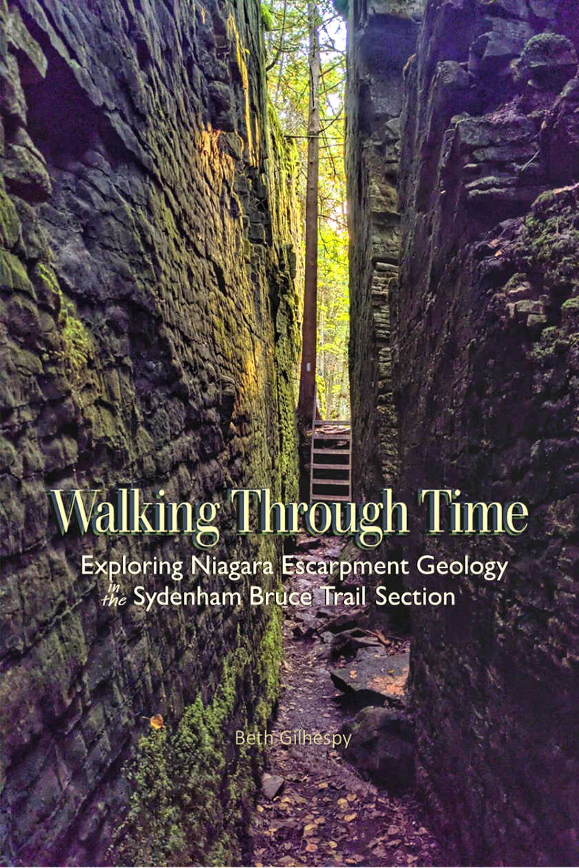
Walking Through Time: Sydenham Geology Book Launch with Beth Gilhespy (10am)
https://hikesstaging.brucetrail.org/event/walking-through-time-sydenham-geology-book-launch/Sorry, the registration cut-off time for this hike has been reached.Not a member? Click here to join today!Hosting Club: Sydenham
Category: Geology Hike
Location (Google Maps): Meet at the main Book Launch event, at the Woodford Community Centre. Parking is in the field behind the community centre.Hike Leader(s): Jeannine Kralt Click here to contact Hike Leader(s)
Pace: Leisurely: 3 km/h or less
Terrain: Moderate: Some hills and/or poor footing
Distance: 3kmDescription
Join Beth Gilhespy for a Walk Through Time at Woodford, as part of her Sydenham geology book launch!Beth will lead a hike to explore the geology of the Niagara Escarpment at Woodford (it is estimated that this interpretive hike will take upwards of 1.5h).
Trailside launch price of $35 per book.
Sydenham Series #3- Massie Hills to Woodford Re-Do
https://hikesstaging.brucetrail.org/event/sydenham-series-3-massie-hills-to-woodford-re-do/Sorry, the registration cut-off time for this hike has been reached.Not a member? Click here to join today!Hosting Club: Dufferin Hi-Land, Sydenham
Category: General Hike
Location (Google Maps): BTC parking lot off 6th Concession South (west side of road) north of Sideroad 3, south of Sideroad 6. BTC Map 29. 44.509124, -80.810665. Please arrive at 9:45 am.Hike Leader(s): Stuart Law Click here to contact Hike Leader(s)
Pace: Medium
Terrain: Slippery and Steep Sections, Slippery Sections Likely, Strenuous
Distance: 19 kmsDescription
Join us on the third of our 10 Sydenham E2E Series shuttle hikes. Peaceful rural Ontario. Woods. Rocky technical terrain. Very, very wet and muddy at Bognor Marsh. Some road walking. Please bring a garbage bag and a change of footwear for the shuttle (we will be very muddy) and please be prepared to drive fellow hikers before or after the hike. Please bring a smile, 2L of water, a warm drink, sunblock, a snack and a lunch. It’s a touch early for bugs but be ready for them too just in case. Hiking boots mandatory. Poles and gaiters recommended. Please arrive at 9:45 am to be prepared to shuttle at 10:00 am sharp. Please visit the BTC website to see what should be in your back pack including your own first aid kit, an extra pair of socks and plastic bags to wear over your feet inside your boots in case you get a footer.
Toronto Urban Badge Hike - 6 of 7
https://hikesstaging.brucetrail.org/event/toronto-urban-badge-hike-6-of-7-4/Sorry, the registration cut-off time for this hike has been reached.Not a member? Click here to join today!Hosting Club: Toronto
Location (Google Maps):
Toronto, Ontario, Canada
Hike Leader(s): Brian Rideout Click here to contact Hike Leader(s)
Pace: Moderate
Terrain: Flat
Distance: 9 kmDescription
Please join me at the south east corner of Sheppard Ave East and Leslie by 10 AM. We will hike south through several parks to Don Mills (S of Overleigh) (km 51.7 to km 62.4). Here is an online map with km markings of our route for all 7 hikes for the Toronto Urban Badge.Please make sure you bring at least 2 liters of water, a lunch, bug spray and sunscreen.
Car Hike: Dufferin Hi-Lands 4 of 4 - Cancelled
https://hikesstaging.brucetrail.org/event/car-hike-dufferin-hi-lands-4-of-4/Sorry, the registration cut-off time for this hike has been reached.Not a member? Click here to join today!Hosting Club: Toronto, Dufferin Hi-Land
Category: Cancelled
Location (Google Maps): Dufferin Hi-Land, Map 21Hike Leader(s): Al Brown Click here to contact Hike Leader(s)
Pace: Moderate
Terrain: Variable
Distance: 11 kmDescription
We will complete the last portion of the Dufferin Hi-Land section passing through stream valleys and rolling farmland. After the hike all are invited to join the hike leaders for refreshments in Creemore.On completion of the hike badges will be given out to those who completed the entire section and requested them. Badges cost about $10 (price to be confirmed). Speak to the hike leader on hike 3 of 4 if you want a badge.
To get to the meeting place go north on Hwy 10 to Primrose. Continue north on Prince of Wales Rd to River Road. Turn right and go about 5 km to Centre Road. Turn left and go about 8 km to Lavender. Turn right and go about 0.5 km to the cemetery
Car Hike: Scotsdale Farm
https://hikesstaging.brucetrail.org/event/car-hike-scotsdale-farm-6/Sorry, the registration cut-off time for this hike has been reached.Not a member? Click here to join today!Hosting Club: Toronto
Category: Car Hike
Location (Google Maps): Scotsdale Farm, Map 13Hike Leader(s): Al Brown Click here to contact Hike Leader(s)
Pace: Moderate
Terrain: Variable
Distance: 10 kmDescription
We will complete a loop hike on the mail Bruce Trail and side trails. The route follows old farm lanes and trails mostly under the forest canopy. Terrain conditions vary and include rocky sections and glacial formations. After the hike those interested are invited to meet at the Sheppard’s Crook or a nearby coffee shop in Georgetown for refreshments.The hike start time is set at 11:00 am to allow hikers the option of visiting the Georgetown farmers market before the hike. The farmers market is located in the centre of old Georgetown and runs from early morning to about noon.
Directions: From the 4o1 go north on Trafalgar Road pasts Georgetown. Trafalgar merges with Hwy 7 for about 3 km then separates to the right at the village of Silver Creek. From the stop light at Silver Creek go north on Trafalgar about 1 km to the entrance of Scotsdale Farm on your right. Drive in to the parking area about half a km.
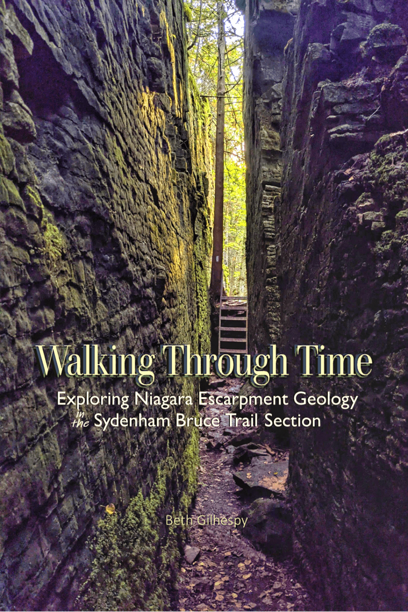
Walking Through Time: Sydenham Geology Book Launch with Beth Gilhespy (12:30pm)
https://hikesstaging.brucetrail.org/event/walking-through-time-sydenham-geology-book-launch-2/Sorry, the registration cut-off time for this hike has been reached.Not a member? Click here to join today!Hosting Club: Sydenham
Category: Geology Hike
Location (Google Maps):Meet at the main Book Launch event, at the Woodford Community Centre. Parking is in the field behind the community centre.
Hike Leader(s): Jeannine Kralt Click here to contact Hike Leader(s)
Pace: Leisurely: 3 km/h or less
Terrain: Moderate: Some hills and/or poor footing
Distance: 3kmDescription
Join Beth Gilhespy for a Walk Through Time at Woodford, as part of her Sydenham geology book launch!Beth will lead a hike to explore the geology of the Niagara Escarpment at Woodford (it is estimated that this interpretive hike will take upwards of 1.5h).
Trailside launch price of $35 per book.
- Each hiker joining a Bruce Trail Club organized hike must perform a self-screening check before hiking.
- 09June 9, 2024

Blue Mountain End to End in 3 Hikes ~ Stained Glass Fundraiser Badge
https://hikesstaging.brucetrail.org/event/blue-mountain-end-to-end-in-3-hikes-stained-glass-fundraiser-badge/Sorry, the registration cut-off time for this hike has been reached.Not a member? Click here to join today!Hike open to BTC Members only.
This is a Multi-Day Hike
You are signing up for the following dates and times:
2024-06-09 at 07:00
2024-06-23 at 07:00
2024-07-14 at 07:00Hosting Club: Blue Mountains, Sydenham
Category: General Hike
Location (Google Maps):Hike Leader(s): Margaret O’Dell Click here to contact Hike Leader(s)
Pace: Brisk: 4 to 5 km/h, Fast: more than 5 km/h
Terrain: Strenuous: Hilly with steep climbs and some poor footing.
Distance: 22.8 kmDescription
This series of hikes is a Fundraiser series for the Blue Mountains Bruce Trail Club. All proceeds fund the activities of the Club directly. You are signing up for all 3 hikes, and must be present for all the hikes to receive the special fundraising badge.Hikers will receive a schedule of the Itinerary for all 3 hikes upon registration. Each Hike is 22-23 Km. The GPS coordinates for Hike on Day #1 are provided here. We will be starting the hike from Maple Lane, at the Blue Mountains Beaver Valley Boundary
- This hike series is intended for experienced distance hikers only; hikes will be lead at a brisk to fast pace. Be aware of your ability to join this series.
- Hikes will average 4.5 km per hour including breaks, moving pace is 5 km per hour;
- Expect to be on-trail for 4-5 hours;
- Meeting time is scheduled for 7:00am so that we’re on the trail at the earliest part of the day and avoid the heat in the afternoons;
- You must arrive no later than 15 minutes prior to the meeting time to organize shuttle; all participants will be expected to participate in the shuttle;
- Any applicable parking fees will be shared within the group.
- Hikers must carry sufficient hydration, accessible snacks, small lunch, first-aid kit, rain gear, extra socks, bug spray, etc; Check the weather as you pack your gear;
- If you have any questions or concerns, please use the Contact the Hike Leader above.
Sydenham Series #4 - Woodford to Bayview Escarpment
https://hikesstaging.brucetrail.org/event/sydenham-series-4-woodford-to-bayview-escarpment/Sorry, the registration cut-off time for this hike has been reached.Not a member? Click here to join today!Hosting Club: Dufferin Hi-Land, Sydenham
Category: General Hike
Location (Google Maps): Roadside parking along the St. Vincent-Sydenham Townline at the field entrance of the River Kwai Side Trail. (We will not be building a bridge!). 44.624492, 80.730579. Please arrive at 8:45 am to be ready to shuttle at 9:00 am.Hike Leader(s): Stuart Law Click here to contact Hike Leader(s)
Pace: Medium
Terrain: Slippery and Steep Sections, Slippery Sections Likely, Strenuous
Distance: 16 kmsDescription
Join us on the fourth of our 10 Sydenham E2E Series shuttle hikes. Peaceful rural Ontario notwithstanding the fact we will take in the new Kaboom Side Trail. Woods. Rocky technical terrain. May have to cross a swollen creek. Please bring a garbage bag and a change of footwear for the shuttle (we will be very muddy) and please be prepared to drive fellow hikers before or after the hike. Please bring a smile, 2L of water, a warm drink, sunblock, a snack and a lunch. It’s a touch early for bugs but be ready for them too just in case. Hiking boots mandatory. Poles and gaiters recommended. Please arrive at 8:45 am to be prepared to shuttle at 9:00 am sharp. Please visit the BTC website to see what should be in your back pack including your own first aid kit, an extra pair of socks and plastic bags to wear over your feet inside your boots in case you get a footer.Guided Mushroom/Fungi Educational Hike
https://hikesstaging.brucetrail.org/event/guided-mushroom-fungi-educational-hike-2/Sorry, the registration cut-off time for this hike has been reached.Not a member? Click here to join today!Hosting Club: Beaver Valley
Location (Google Maps): Meet in the Johnston’s Side Road BTC parking area, km 71.7, Map 26, Edition 31. Please be there 15 minutes before the hike start time.
Hike Leader(s): Glenda Collings Click here to contact the hike leader.
Pace: Leisurely
Terrain: Moderate, Some steep sections
Length of Hike: Approx. 1 1/2 hoursDescription
Excited about fungi? Join us for an educational hike led by an expert in the field from the The Mycological Society of Toronto. As we walk slowly along the trail, we will be viewing and learning about a variety of mushrooms/fungi. If you are thinking about working towards earning our Mushroom Hunter badge, see https://beavervalleybrucetrail.org/earning-badges/ one of our leaders will take photos, do I.D. and send that info to interested participants, just to keep us moving along. Please be dressed for the weather and bring water.COVID-19 Precautions Before, During and After your Hike
- Each hiker joining a Bruce Trail Club organized hike must perform a self-screening check before hiking.
Find Ontario’s self-assessment tool here: https://covid-19.ontario.ca/self-assessment/ - If you are experiencing COVID-19 symptoms, stay home.
Other Guidelines
- Arrive 15 minutes before the start of the hike.
- Wear sturdy footwear and appropriate attire for the weather and the terrain.
Hiking poles are a good idea in any season, especially if the terrain is rocky or slippery. In winter, snowshoes or icers/crampons are needed when conditions dictate.
Wearing appropriate clothing and footwear prevents injuries and shows consideration for a safe and positive group hiking experience. - Always carry I.D. and your health card.
- Bring sufficient water and snacks (or lunch if indicated). A minimum of 1L of water is recommended on all hikes, and 3L is recommended for long, challenging hikes in the heat of the summer.
- Bring sunscreen and insect repellent (for spring and summer hikes).
- Bring your own first aid kit.
- Please leave dogs at home.
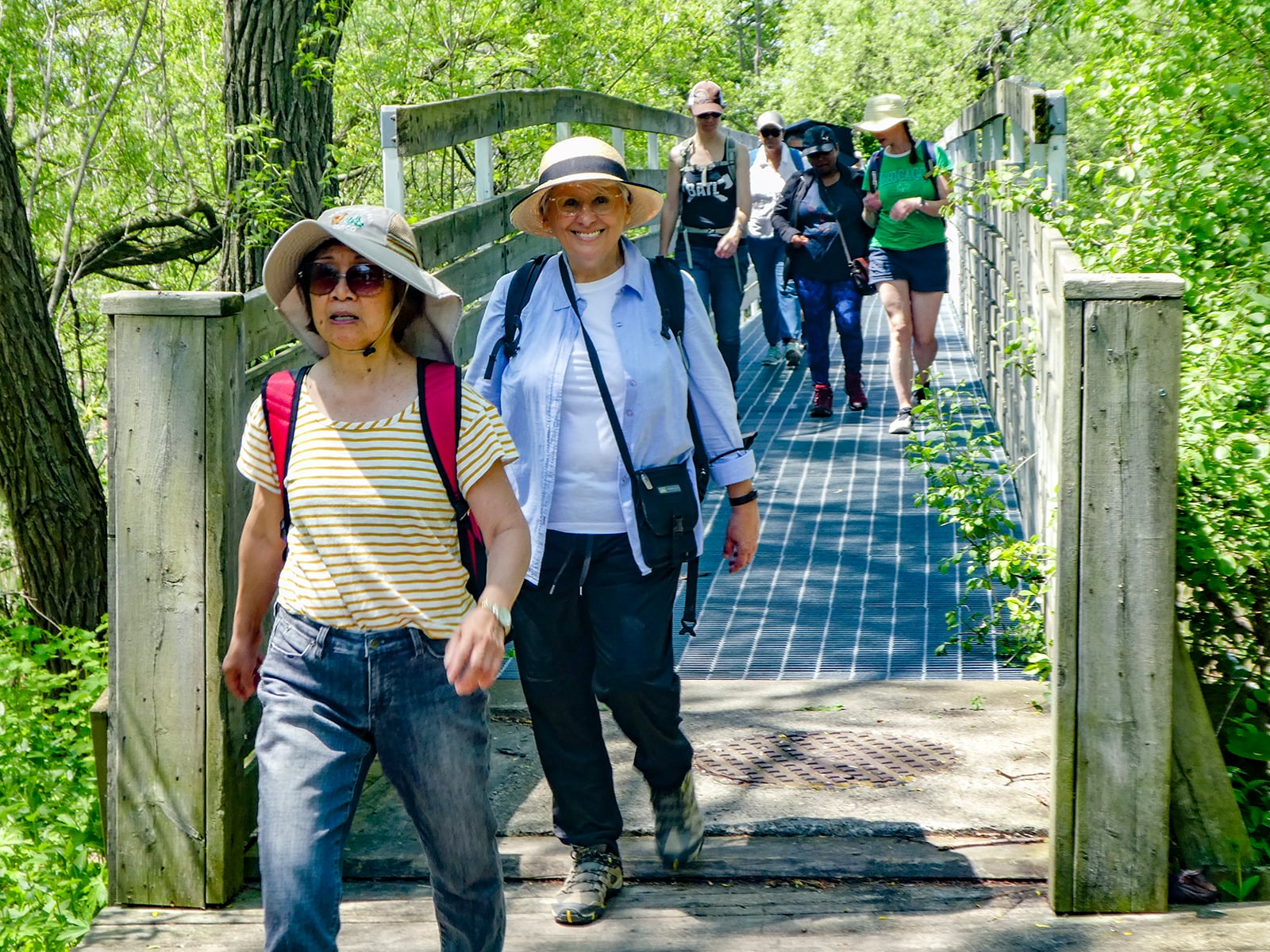
Urban Walk: Whitby to Oshawa
https://hikesstaging.brucetrail.org/event/urban-walk-whitby-to-oshawa-3/Sorry, the registration cut-off time for this hike has been reached.Not a member? Click here to join today!Hosting Club: Toronto
Category: Urban Walk
Location (Google Maps): Whitby, OntarioHike Leader(s): Brian Rideout Click here to contact Hike Leader(s)
Pace: Moderate
Terrain: Flat
Distance: 10 kmDescription
Please join me under the clock in the Great Hall of Union Station by 9:05 am. We will take the eastbound Lakeshore train departing 9:20 AM, arriving in Whitby at 10:13 AM. If you prefer to drive, please meet at the north entrance of Whitby Go Station near the washrooms and the ticket counter.Please check out the GO Transit website and consider purchasing a one day pass for $10.
We will hike south to the lake and east to Oshawa along the Waterfront Trail for an estimated distance of 10 km. We will pass through several parks in Whitby and Oshawa along the way.While in Oshawa we will take Durham Region Transit to the Fox and the Goose pub and to Oshawa GO so please bring your Presto card and / or cash fare. Please bring sun screen, bug spray, a light snack and at least 2 liters of water.
Here is a map of our route: Whitby to Oshawa
Guided Mushroom/Fungi Educational Hike
https://hikesstaging.brucetrail.org/event/guided-mushroom-fungi-educational-hike/Sorry, the registration cut-off time for this hike has been reached.Not a member? Click here to join today!Hosting Club: Beaver Valley
Location (Google Maps): Meet in the Johnston’s Side Road BTC parking area, km 71.7, Map 26, Edition 31. Please be there 15 minutes before the hike start time.
Hike Leader(s): Glenda Collings Click here to contact the hike leader.
Pace: Leisurely
Terrain: Moderate, Some steep sections
Length of Hike: Approx. 1 1/2 hoursDescription
Excited about fungi? Join us for an educational hike led by an expert in the field from the The Mycological Society of Toronto. As we walk slowly along the trail, we will be viewing and learning about a variety of mushrooms/fungi. If you are thinking about working towards earning our Mushroom Hunter badge, see https://beavervalleybrucetrail.org/earning-badges/ one of our leaders will take photos, do I.D. and send that info to interested participants, just to keep us moving along. Please be dressed for the weather and bring water.COVID-19 Precautions Before, During and After your Hike
- Each hiker joining a Bruce Trail Club organized hike must perform a self-screening check before hiking.
Find Ontario’s self-assessment tool here: https://covid-19.ontario.ca/self-assessment/ - If you are experiencing COVID-19 symptoms, stay home.
Other Guidelines
- Arrive 15 minutes before the start of the hike.
- Wear sturdy footwear and appropriate attire for the weather and the terrain.
Hiking poles are a good idea in any season, especially if the terrain is rocky or slippery. In winter, snowshoes or icers/crampons are needed when conditions dictate.
Wearing appropriate clothing and footwear prevents injuries and shows consideration for a safe and positive group hiking experience. - Always carry I.D. and your health card.
- Bring sufficient water and snacks (or lunch if indicated). A minimum of 1L of water is recommended on all hikes, and 3L is recommended for long, challenging hikes in the heat of the summer.
- Bring sunscreen and insect repellent (for spring and summer hikes).
- Bring your own first aid kit.
- Please leave dogs at home.
Exploring Sydenham hike 7
https://hikesstaging.brucetrail.org/event/exploring-sydenham-hike-7/Sorry, the registration cut-off time for this hike has been reached.Not a member? Click here to join today!Hosting Club: Sydenham
Category: General Hike
Location (Google Maps):Meet in the north-east corner of the parking lot at Home Depot on Highway 26 on the east side of Owen Sound.
Hike Leader(s): Bill Snel Click here to contact Hike Leader(s)
Pace: Leisurely: 3 km/h or less
Terrain: Moderate: Some hills and/or poor footing, Strenuous: Hilly with steep climbs and some poor footing.
Distance: 6.4 kmDescription
We will carpool to do a loop hike of some Silent Valley trails. This is hike 7 in the book Exploring Sydenham. It has a secret to be located. - 10June 10, 2024
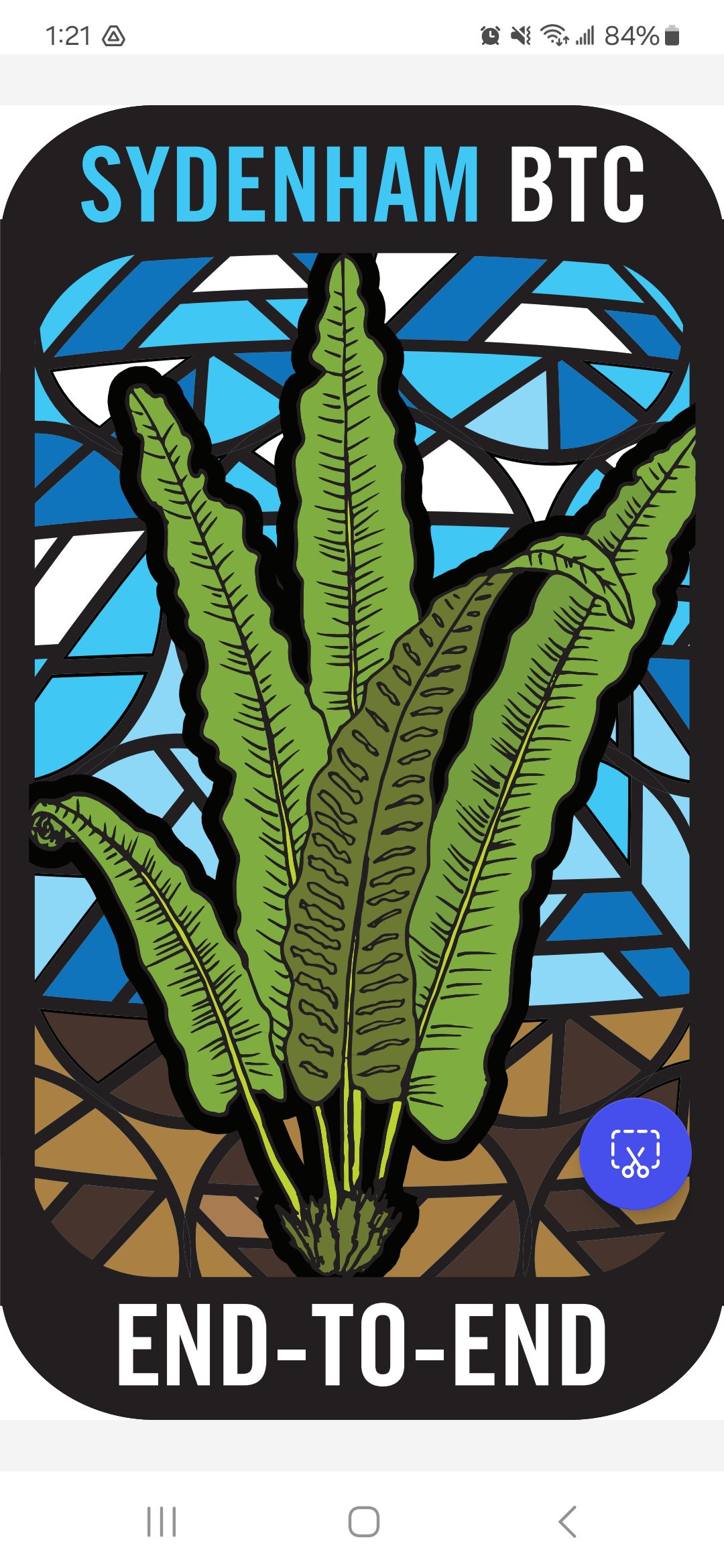
Sydenham E2E Stained Glass Fundraising Series in 8 Hikes
https://hikesstaging.brucetrail.org/event/sydenham-e2e-stained-glass-fundraising-series-in-8-hikes/Sorry, the registration cut-off time for this hike has been reached.Not a member? Click here to join today!Hike open to BTC Members only.
This is a Multi-Day Hike
You are signing up for the following dates and times:
2024-06-10 at 08:00
2024-06-11 at 08:00
2024-06-12 at 08:00
2024-06-13 at 08:00
2024-06-17 at 08:00
2024-06-18 at 08:00
2024-06-19 at 08:00
2024-06-20 at 08:00Hosting Club: Toronto, Sydenham
Category: Car Hike
Location (Google Maps): Km 20.7, on the shoulders of 6th Concession S. GPS N44.507399, W80.810098Hike Leader(s): Jacquie Van Dyke
Pace: Brisk, Moderate
Terrain: Hilly, Variable
Distance: Distances will be approximately 20-25km per day, spread over 8 hikes, for a total of 175km.Description
This Sydenham Stained Glass E2E Fundraising hike series will be spread over 8 days, covering approximately 175km. The funds paid will be collected by the Toronto Bruce Trail Club and transferred to the Sydenham Club to help with the club’s expenses and the pledge of maintaining “The Ribbon of Wilderness for Everyone Forever.” The registration date of March 3 at 9:00pm is for all 8 group hikes. Participants completing this series will receive the Hart’s Tongue Fern badge (designed by Joe Borges) at the end of the last hike. Life aside from hiking does happen and you may miss 2 hikes but please let the hike leader know ahead of time and make it up before June 20, 2024.A hike schedule will be sent late-May to all participants. Hikes will range in distance of 20-25km, hiking at an average speed of 3-5km/hour, depending on trail & weather conditions.
Please arrive by 8:00am for each hike to get organized and to be ready to begin the car shuttle at 8:15. All hikers are expected to participate fairly in the car shuttles. No dropout points have been established and therefore hikers who must drop out, will be responsible for their own transportation back to their vehicle. Please note: available transportation back to your vehicle is very limited in this section. It’s going to get warm/hot so please be prepared with enough food to last the hike, a minimum of 2L of hydration, bug repellent, and hiking gear appropriate for the weather/conditions. We’ll have a short morning break and also a lunch break on each hike.
Spring Birds and Blooms
https://hikesstaging.brucetrail.org/event/spring-birds-and-blooms-2/Sorry, the registration cut-off time for this hike has been reached.Not a member? Click here to join today!Hike open to BTC Members only.
Hosting Club: Peninsula
Category: Birding
Location (Google Maps): Meet at the parking lot at the intersection of Highway 6 and Dyers Bay Road at 8:30 a.m. We will car pool to the Cottrill Lake ST parking area to begin our hike.Hike Leader(s): Marg Glendon Click here to contact Hike Leader(s)
Pace: Fast, Leisurely, Medium
Terrain: Moderate
Distance: ~3 1/2 KMDescription
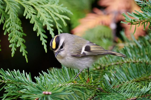
Join Bird Enthusiast – Peter Rasberry – for a Spring Birds and Blooms hike on the Cottrill Lake Side Trail. This should be peak time for both spring wildflowers and bird migration. The hike pace is slow and will be a “walk, stop and talk” type of hike. This provides an opportunity to identify and appreciate all that nature is offering us! The terrain is rocky but relatively flat on Cottrill Lake Side Trail. At the end of Cottrill Lake Side Trail, we will decide as a group, whether we return to our starting point by walking on Britain Lake Road, or hiking the more rugged terrain with lots of “ups and downs” on the Anne and Clayton Roberts Side Trail to the Main Trail. Both options complete the loop at the Cottrill Side Trail parking area. Distance for both options is about the same ~ 3 ½ km. Dress according to the weather. Bring snacks, water, cameras, binoculars, field guides, and insect repellent. Hike finish should be about 11:30 a.m.Map 40. Bruce Trail Reference Guide Edition 31
Dundas Valley Conservation Area
https://hikesstaging.brucetrail.org/event/dundas-valley-conservation-area-9/Sorry, the registration cut-off time for this hike has been reached.Not a member? Click here to join today!Hosting Club: Iroquoia
Category: General Hike
Location (Google Maps):Dundas Valley Conservation’s Area
Hike Leader(s): Pati Greenwood, Jeff Dowsett Click here to contact Hike Leader(s)
Pace: Medium – 3 to 4 km/hr
Terrain: Moderate – Some hills and/or some poor footing
Distance: 10 kmDescription
We will hike through the Dundas Valley Conservation Area on the main Bruce Trail, Conservation trails and BT side trails. Bring water and snacks. Be sure to wear appropriate clothing and footwear.Park in the main Parking lot located at 650 Governor’s Road. Parking fees will be required. See the Hamilton Conservation Authority for more information: https://conservationhamilton.ca/admissions-fees/
Please arrive at 8:15 am as we will leave promptly at 8:30 am.
- 11June 11, 2024
NEW TIME 8:00 Long Hike Wiley Road Short Hills
https://hikesstaging.brucetrail.org/event/new-time-800-long-hike-wiley-road-short-hills-6/Sorry, the registration cut-off time for this hike has been reached.Not a member? Click here to join today!Hosting Club: Niagara
Location (Google Maps):
Short Hills Wiley Road Entrance
Hike Leader(s): Alan Laver Click here to contact Hike Leader(s)
Pace: Medium
Terrain: Moderate
Distance: 10kmDescription
Explore Short Hills and the majestic side trails of Scarlett Tanager, Hemlock. Swayze Falls and Terrace. Register for each hikeBring Poles bug spray water, snack, and dress for the weather
Spring Birds and Blooms #2
https://hikesstaging.brucetrail.org/event/spring-birds-and-blooms-2-2/Sorry, the registration cut-off time for this hike has been reached.Not a member? Click here to join today!Hosting Club: Peninsula
Category: Birding
Location (Google Maps): Meet at the parking lot at the intersection of Highway 6 and Dyers Bay Road at 8:30 am, and car pool to the Cottrill Lake ST parking area where we begin our hike.Hike Leader(s): Marg Glendon Click here to contact Hike Leader(s)
Pace: Leisurely
Terrain: Easy, Moderate
Distance: ~3 1/2kmDescription
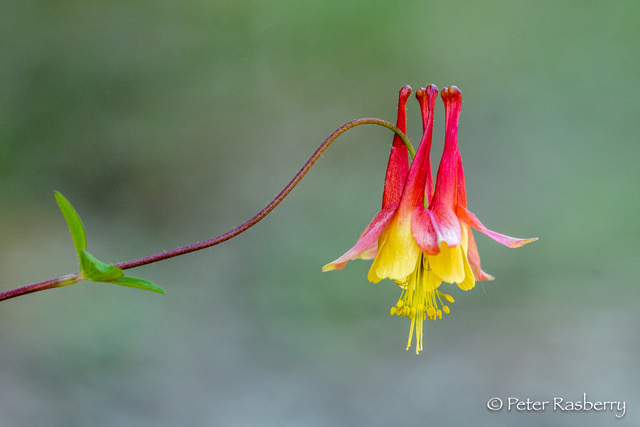
Open Registration “Spring Birds and Blooms – Join Bird Enthusiast – Peter Rasberry – for a Spring Birds and Blooms hike on the Cottrill Lake Side Trail. This should be peak time for both spring wildflowers and bird migration. The hike pace is slow and will be a “walk, stop and talk” type of hike. This provides an opportunity to identify and appreciate all that nature is offering us! The terrain is rocky but relatively flat on Cottrill Lake Side Trail. At the end of Cottrill Lake Side Trail, we will decide as a group, whether we return to our starting point by walking on Britain Lake Road, or hiking the more rugged terrain with lots of “ups and downs” on the Anne and Clayton Roberts Side Trail to the Main Trail. Both options complete the loop at the Cottrill Side Trail parking area. Distance for both options is about the same ~ 3 ½ km. Dress according to the weather. Bring snacks, water, cameras, binoculars, field guides, and insect repellent. Hike finish should be about 11:30 a.m. Bruce Trail Reference Guide Edition 31.Humber Valley - Glen Haffy Side Trail
https://hikesstaging.brucetrail.org/event/humber-valley-glen-haffy-side-trail-6/Sorry, the registration cut-off time for this hike has been reached.Not a member? Click here to join today!Hosting Club: Dufferin Hi-Land
Category: Tuesday Hike
Location (Google Maps): Caledon Hills, Map 18. Meet at 7th Line BTC parking lot about 1.5 km north of Hwy 9 (near Km 43.3) . Entrance to the lot is just off of Airport Rd on 7th Line, Mono.Hike Leader(s): Tony Evangelista; Les Babbage; Inge Eckerich; Julie Daley Click here to contact Hike Leader(s)
Pace: Leisurely
Terrain: Moderate
Distance: 7 or 3.6 kmDescription
We will hike the Main Trail south to the Glen Haffy Side Trail, then follow the side trail east as far as the Mono Adjala Townline and back. The shorter hike will turn back at the intersection of the two trails.9:15 Short Hike - Short Hills Park, Pelham Rd
https://hikesstaging.brucetrail.org/event/915-short-hike-short-hills-park-pelham-rd-6/Sorry, the registration cut-off time for this hike has been reached.Not a member? Click here to join today!Hosting Club: Niagara
Category: Hike
Location (Google Maps): Shorthills Provincial Park, Pelham Rd entranceHike Leader(s): Debbie Demizio Click here to contact Hike Leader(s)
Pace: Medium
Terrain: Moderate
Distance: ~ 6kmsDescription
Hike the main and side trails in Shorthills Provincial Park. Bring hiking boots, water, sunscreen and bug spray. Please help prevent the spread of invasive species by cleaning your boots following the hike. Please check yourself for ticks following the hike.Terra Cotta
https://hikesstaging.brucetrail.org/event/terra-cotta-12/Sorry, the registration cut-off time for this hike has been reached.Not a member? Click here to join today!Hosting Club: Caledon Hills
Category: Tuesday Hikers
Location (Google Maps): Meet at Winston Churchill Blvd., intersection with Caledon Trailway.
Driving direction: North on Highway 410, continue north on Highway 10, left on King Street, right on Winston Churchill Blvd; drive 1 kilometre to roadside parking on either side of the road.Hike Leader(s): Mohammad Shafiq Click here to contact Hike Leader(s)
Pace: Medium – 3 to 4 km/hour
Terrain: Moderate – some hills and/or some poor footing
Distance: 12 kmDescription
Will hike Terra Cotta Side Trail and main Bruce Trail. Bring water, snack, poles and bug spray.
Hike Leaders phone contact for the day of hike: 416-566-0503.