
Hike Schedule
Join us for a hike! Registration required.
All hikes available to BTC members. Some hikes are open to non-members.
See Refund Policy for Paid Hikes >
TIP: The calendar view displays up to 7 hikes on a day, but often there are more. Click “View more events” to see them all.
Categories
- 11May 11, 2025
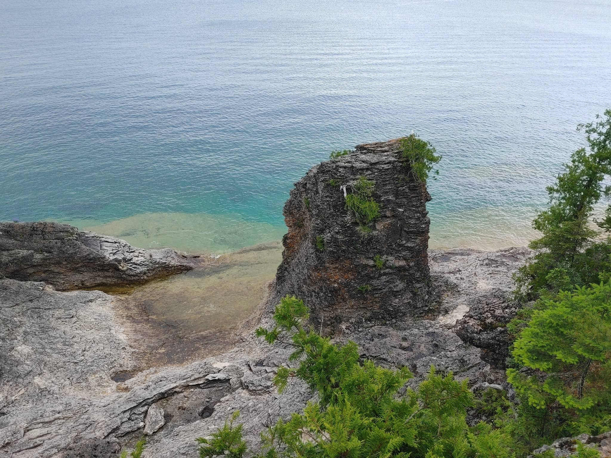
End-to-End Makeup Hike in 8: Cyprus Lake, Marr Lake Trail to Tobermory Cairn
https://hikesstaging.brucetrail.org/event/end-to-end-makeup-hike-in-8-cyprus-lake-marr-lake-trail-to-tobermory-cairn/Sorry, the registration cut-off time for this hike has been reached.Not a member? Click here to join today!Hike open to BTC Members only.
Hosting Club: Iroquoia, Peninsula
Category: Peninsula E2E
Location (Google Maps): Tobermory CairnHike Leader(s): Shawn Radcliffe Click here to contact Hike Leader(s)
Pace: Medium (3.0 – 4.5 km/h): A comfortable pace for most hikers with steady progress.
Terrain: Difficult: Steep ascents/descents, rocky scrambling, and some rugged escarpment paths., Moderate: Rolling hills, mild slopes and rocky paths.
Distance: 20.8Description
- Expectations: Expect to be on-trail for 7-9 hours each day, depending on the daily distance. Time on the trail may vary based on terrain, conditions, and the pace of the group. Breaks will be taken for lunch, snacks, photography, and to appreciate the scenery.
Meeting Time: Please arrive no later than 15 minutes prior to the scheduled time.
Participant Requirements:
- Intermediate/experienced hikers, comfortable with longer distances and elevation gains.
- Must be physically fit for group hiking.
- Proper hiking boots, layered clothing, and wet weather gear required. Hiking poles recommended.
- Essentials: Lunch, snacks, water, bug spray.
- Breaks for photography and appreciation of local flora and fauna.
Car Shuttle: Ensure your vehicle is passenger-ready.
Accommodations: Early reservations recommended, especially near meeting points or in Lion’s Head. Suggested options: motels, campgrounds, hostels, and B&Bs.
Birding with Brian
https://hikesstaging.brucetrail.org/event/birding-with-brian-2/Sorry, the registration cut-off time for this hike has been reached.Not a member? Click here to join today!Hike open to BTC Members only.
Hosting Club: Peninsula
Category: Birding
Location (Google Maps): Bruce Trail Parking on Crooked Toe Road and Boundary Road.Hike Leader(s): Marg Glendon Click here to contact Hike Leader(s)
Pace: Leisurely (2.0 – 3.0 km/h): A relaxed pace with frequent breaks and a focus on enjoyment.
Terrain: Easy: Flat forested sections or lowland trails., Moderate: Rolling hills, mild slopes and rocky paths.
Distance: 2-3 kmDescription
Brian Popelier, BTC Ecologist, will lead us on a birding adventure at the Glassford Wetland to observe the early Spring arrival of some of our feathered friends.This is a leisurely paced walk-stop-watch-listen hike. The distance will be determined by our observation opportunities.This property consists of a variety of habitats including forested areas, open meadows, hay fields and wetlands. A large pond is surrounded by well-developed open aquatic, marsh and willow-dogwood thickets which provide a diverse array of migratory and breeding birds, including waterfowl and marsh birds. At least 94 bird species have been recorded on the property. Notable species include Sandhill Crane, Sora, Osprey, Bobolink and Virginia Rail. At least 13 warbler species have been observed during spring and fall migration.
This is a family friendly hike – all birding experience levels welcome. Participants are welcome to linger longer, if they wish. Perfect hike to get started on one of the PBTC Birder Badges: https://pbtc.ca/badges/
Please carpool if possible.
Bring a light backpack to carry your water bottle, snacks, camera and binoculars. Weather at this time of year can still be unpredictable – dress according to the weather conditions. Sturdy hiking shoes/boots, gators and long sleeved protective clothing are recommended
No raindate.
Car Hike: Rouge Valley: Vista and Mast Trails
https://hikesstaging.brucetrail.org/event/car-hike-rouge-valley-vista-and-mast-trails/Sorry, the registration cut-off time for this hike has been reached.Not a member? Click here to join today!Hosting Club: Toronto
Category: Car Hike
Location (Google Maps): We will start from the Mast Trail Parking lot (South Trailhead) in Scarborough. If coming from Toronto, take the 401 east and get out at exit 390 for Kingston Rd. Address is shortly after 7450 Kingston Road and you’ll make a left.For a Google map location: https://maps.app.goo.gl/MWQvvK8Ksg4PEaGg9
Hike Leader(s): KJ Chong Click here to contact Hike Leader(s)
Pace: Moderate (3-4 km/hr)
Terrain: Hilly, Level 2 (Intermediate – some hills and uneven surfaces, rocks and roots underfoot), Variable
Distance: 9 kmDescription
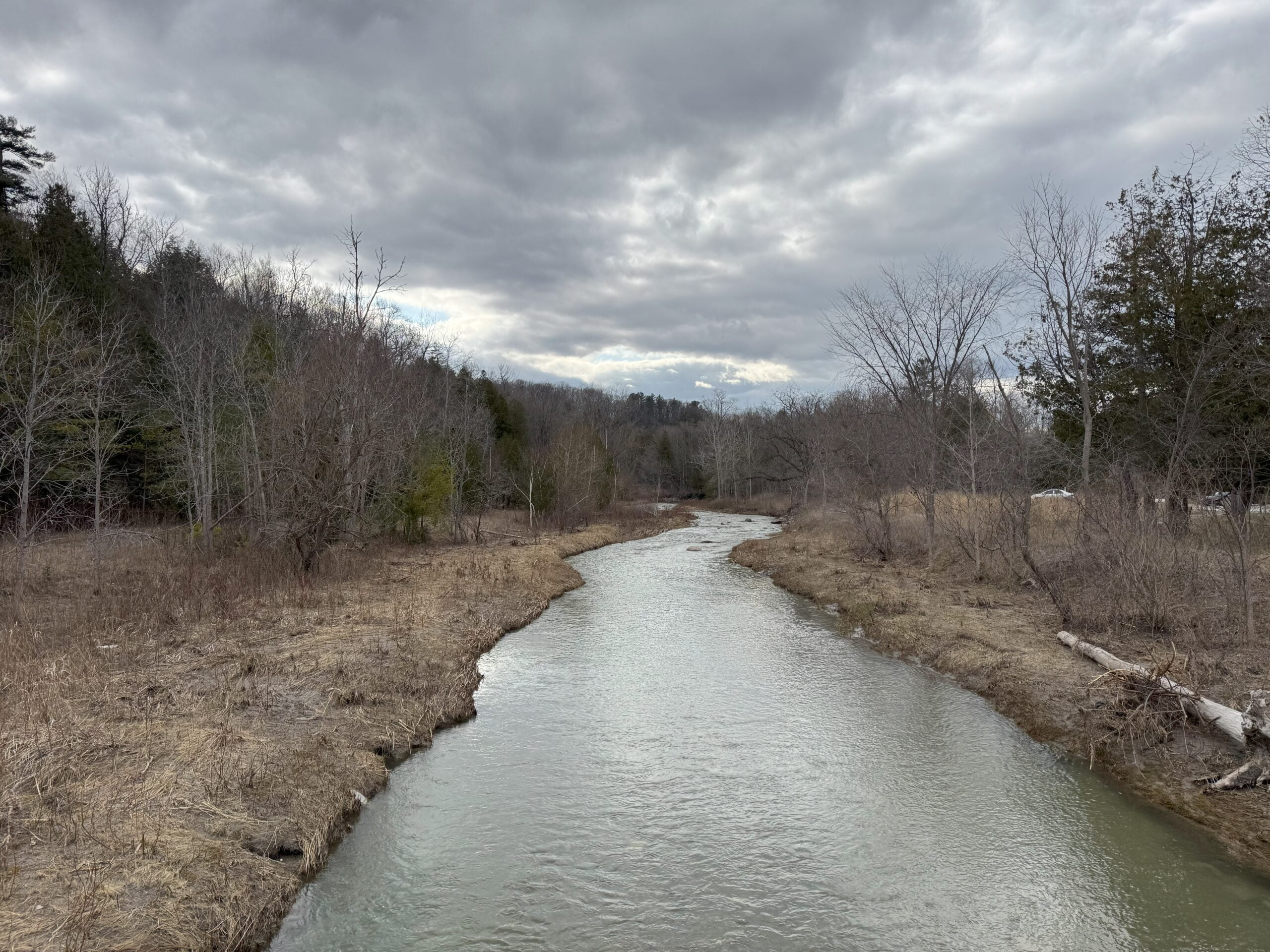
Join us for a fantastic hike with views across the Rouge Valley on the Mast and Vista trails. We will pass by creeks and rivers and also climb up a few steep hills, ending the loop at the Vista lookout. There will be two stairs, boardwalks and more. Please arrive at 8:45 AM for briefing and we leave sharp at 9 AM.
Urban Walk: Toronto Urban Badge Hike - 2 of 7
https://hikesstaging.brucetrail.org/event/urban-walk-toronto-urban-badge-hike-2-of-7-2/Sorry, the registration cut-off time for this hike has been reached.Not a member? Click here to join today!Hosting Club: Toronto
Category: Urban Walk
Location (Google Maps): Humber River Recreational TrailHike Leader(s): Brian Rideout Click here to contact Hike Leader(s)
Pace: Moderate (3-4 km/hr)
Terrain: Flat
Distance: 10.9 kmDescription
Please join me at the south east corner of Eglinton and Scarlett by 10 AM. We will hike south on the Humber Recreational Trail to Lakeshore Blvd and Ellis (km 19.2 to km 8.3). Here is an online map with km markings of our route for all 7 hikes for the Toronto Urban Badge: https://onthegomap.com/s/c2c1hf3nPlease make sure you bring at least 2 liters of water, a lunch, bug spray and sunscreen.
Spring Wildflowers/Ephemerals
https://hikesstaging.brucetrail.org/event/spring-wildflowers-ephemerals/Sorry, the registration cut-off time for this hike has been reached.Not a member? Click here to join today!Hosting Club: Iroquoia
Category: Wildflowers and Spring Ephemerals
Location (Google Maps): Crawford Lake Conservation Area, east side of Guelph Line above Derry Rd.Hike Leader(s): Anne Armstrong Click here to contact Hike Leader(s)
Pace: Leisurely – 3km/hr or less
Terrain: Moderate – Some hills and/or some poor footing
Distance: Approx. 7-8 km.Description
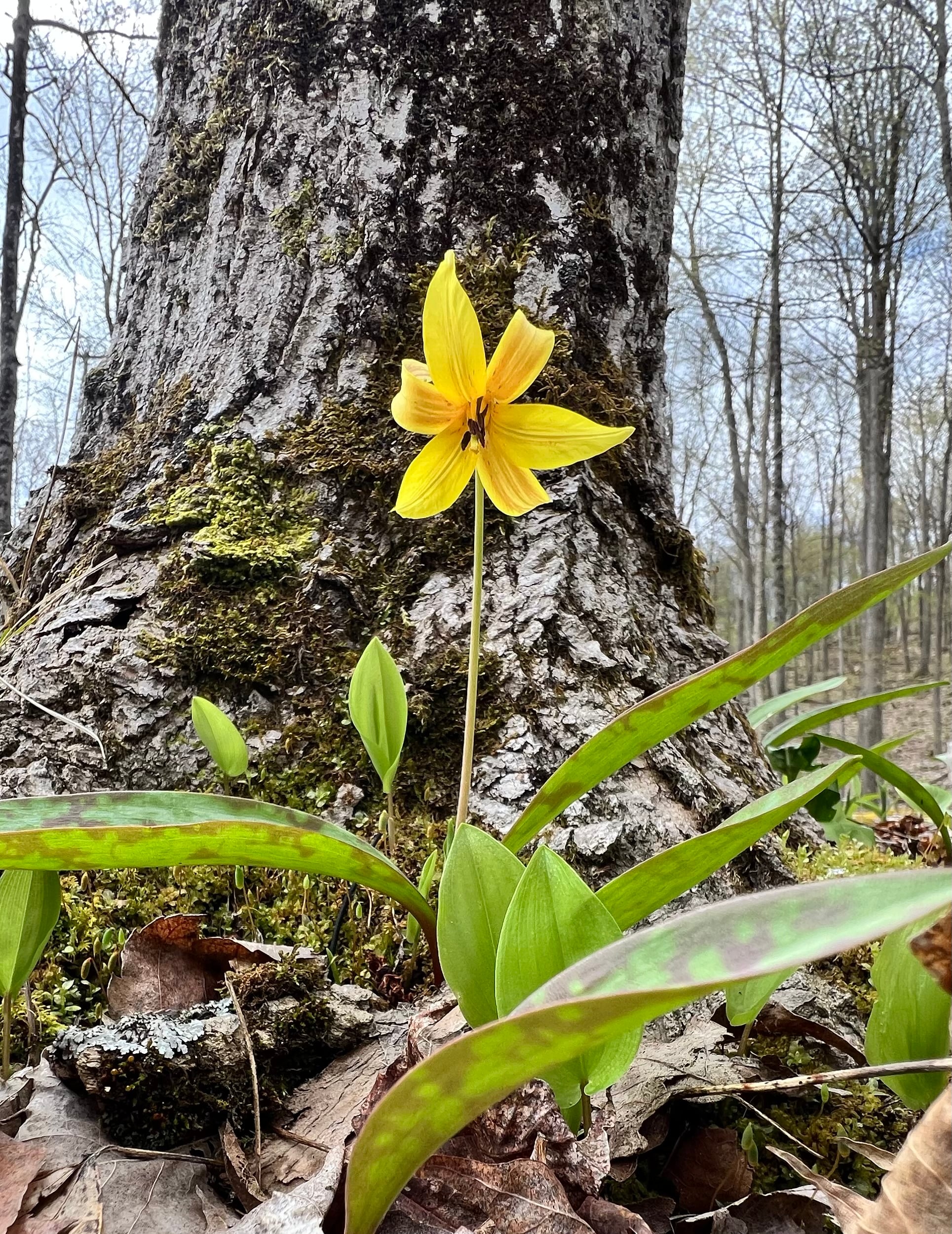
With the arrival of Spring we will be seeing more and more Spring Wildflowers/Ephemerals. It is an exciting time of year as nature begins to flaunt her beauty. This will be a slower paced hike as we search for wildflowers which grow amongst the rocks and and fields of this area. Expect some quite rocky areas along the escarpment but the rewards are great. Time for photos will be taken. Meet at 9:45 for a 10:00 am. start. Bring a snack, water, hiking poles if using and your camera. You will need to make a reservation with Halton Conservation Area Parks for entry into the park.
Leader: Anne ArmstrongUrban Walk: Leslie Spit (Tommy Thompson Park)
https://hikesstaging.brucetrail.org/event/urban-walk-leslie-spit-tommy-thompson-park-4/Sorry, the registration cut-off time for this hike has been reached.Not a member? Click here to join today!Hosting Club: Toronto
Category: Urban Walk
Location (Google Maps): We meet at Tommy Thompson Park by the public washrooms at Leslie and Unwin Sts. The TTC have routes that pass near Tommy Thompson Park. View the TTC schedules, routes, timetables, and find out how long does it take to get to Tommy Thompson Park in real time. List of stops closest to your destination: Leslie St at Mosley St; Queen St East at Alton Ave; Lake Shore Garage Loop.Hike Leader(s): Victor Ramautar Click here to contact Hike Leader(s)
Pace: Leisurely (2-3 km/hr)
Terrain: Flat, Level 2 (Intermediate – some hills and uneven surfaces, rocks and roots underfoot), Variable
Distance: 10-12 kmsDescription
Nature and Photography Hike
https://hikesstaging.brucetrail.org/event/nature-and-photography-hike/Sorry, the registration cut-off time for this hike has been reached.Not a member? Click here to join today!Hosting Club: Niagara
Category: Hike
Location (Google Maps): Woodend Parking Lot near Taylor RdHike Leader(s): Mary-Lyn Hopper Click here to contact Hike Leader(s)
Pace: Leisurely
Terrain: Moderate
Distance: 6Description
The focus of the hike is to examine the natural world in springExploring Sydenham Hike #22
https://hikesstaging.brucetrail.org/event/exploring-sydenham-hike-22-2/Sorry, the registration cut-off time for this hike has been reached.Not a member? Click here to join today!Hosting Club: Sydenham
Category: General Hike
Location (Google Maps):Meet in the north-east corner of the parking lot at Home Depot on Highway 26 on the east side of Owen Sound.
Hike Leader(s): Bill Snel Click here to contact Hike Leader(s)
Pace: Leisurely: 3 km/h or less
Terrain: Moderate: Some hills and/or poor footing, Strenuous: Hilly with steep climbs and some poor footing.
Distance: 3 kmDescription
We will carpool to do a hike of the Palisades. This is hike 22 in the book, Exploring Sydenham. There are two secrets to locate. If you do not have a book and would like one ($30) let me know by using the “Contact hike leader” link.