
Hike Schedule
Join us for a hike! Registration required.
All hikes available to BTC members. Some hikes are open to non-members.
See Refund Policy for Paid Hikes >
TIP: The calendar view displays up to 7 hikes on a day, but often there are more. Click “View more events” to see them all.
Categories
- 12May 12, 2025
Dufferin Hi-Land End-to-End #4 of 4
https://hikesstaging.brucetrail.org/event/dufferin-hi-land-end-to-end-4-of-4/Sorry, the registration cut-off time for this hike has been reached.Not a member? Click here to join today!Hosting Club: Iroquoia, Dufferin Hi-Land
Category: General Hike
Location (Google Maps): Roadside Parking on Mulmur-Nottawasaga Townline km 54.9Hike Leader(s): Pati Greenwood, Jeff Dowsett Click here to contact Hike Leader(s)
Pace: Medium – 3 to 4 km/hr
Terrain: Moderate – Some hills and/or some poor footing, Slippery Sections Likely
Distance: 13.7 kmDescription
This is an end-to-end hiking series to complete the Dufferin Highlands section of the Bruce Trail in 4 hikes, join us for one, some or all.The hikes will be undertaken at a medium pace of approximately 4 km/hour for 13 – 15 kms each hike. Please consider your fitness level before registering, this is a group hike, and everyone is expected to keep pace with the person in front of them for the duration of the hike.
The weather can be changeable at this time of year, so dress in layers for any possibility. The terrain may be wet and slippery in sections, wear hiking boots and bring hiking poles. Bring a snack, plenty of water and other hydration as needed.
We will be travelling from south to north over the series. The series will require car shuffles, and everyone will be expected to participate as drivers.
Today’s hike, the final of the series, will be 13.7 km in length. Please plan to arrive at the meeting place by 8:15 am as we will start the car shuffle at 8:30 am sharp.
Further details will be provided to registered hikers a few days prior to the hike.
Crawford Lake to Kilbride (E2E - linear hike)
https://hikesstaging.brucetrail.org/event/crawford-lake-to-kilbride-e2e-linear-hike-2/Sorry, the registration cut-off time for this hike has been reached.Not a member? Click here to join today!Hosting Club: Iroquoia
Category: General Hike
Location (Google Maps): Meet at 9:15 am in the Kilbride Park parking lot, behind the schoolHike Leader(s): Karen Bergmann Click here to contact Hike Leader(s)
Pace: Medium – 3 to 4 km/hr
Terrain: Moderate – Some hills and/or some poor footing
Distance: 8 kmsDescription
Meeting in Kilbride, we will carpool to Crawford Lake and hike back along the main trail. There are some challenging rocky bits along the way, but most of it is quite easy. Depending on the number of hikers, I will need another driver to book time at Crawford Lake. I will send an email two days before the hike to confirm.Car Hike: Spring Wild flowers Rockside Side trail
https://hikesstaging.brucetrail.org/event/car-hike-spring-wild-flowers-rockside-side-trail/Sorry, the registration cut-off time for this hike has been reached.Not a member? Click here to join today!Hosting Club: Toronto
Category: Car Hike
Location (Google Maps): Meet at the parking area at the end BOSTON Mills Rd. Just to the west of Mississauga Rd. 10:00 am loop hikeHike Leader(s): Lynn McFerran Click here to contact Hike Leader(s)
Pace: Leisurely (2-3 km/hr)
Terrain: Level 2 (Intermediate – some hills and uneven surfaces, rocks and roots underfoot), Variable
Distance: 7kmDescription
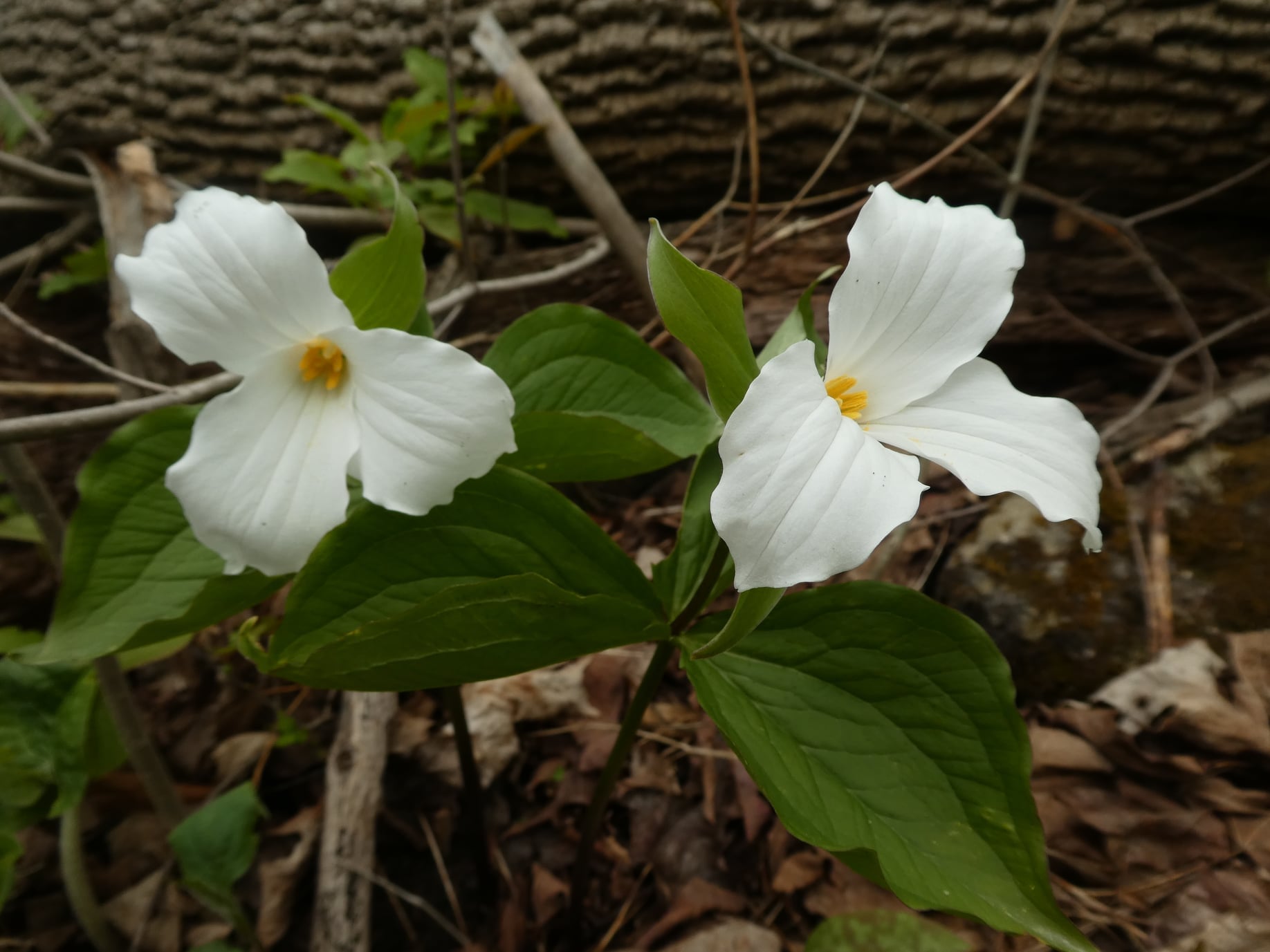
Spring has been a bit slow this year but the spring wild flowers are starting to bloom. It is really exciting to see bits of colour coming up along the trail. This is a loop hike and there are lots of plants and interesting things to see along the trail. we will walk the sidetrail and pick up a section of the main trail too.
Be prepared for any kind of weather and maybe even some early bugs. Bring water and snacks