
Hike Schedule
Join us for a hike! Registration required.
All hikes available to BTC members. Some hikes are open to non-members.
See Refund Policy for Paid Hikes >
TIP: The calendar view displays up to 7 hikes on a day, but often there are more. Click “View more events” to see them all.
Categories
- 01May 1, 2025
8:00 am Long Hike Glen Road Jordan NEW TIME
https://hikesstaging.brucetrail.org/event/800-am-long-hike-glen-road-jordan-new-time/Sorry, the registration cut-off time for this hike has been reached.Not a member? Click here to join today!Hosting Club: Niagara
Category: In and Out
Location (Google Maps):Glen Road Jordan
Hike Leader(s): Alan Laver Click here to contact Hike Leader(s)
Pace: Medium
Terrain: Moderate
Distance: 10kDescription
This will be our permanent Thursday Location until Bridge repairs complete. From Glen Road explore the trail network on the escarpment towards Balls Falls and Moyer Road.You must register for each hike. Bring Poles, snack bug spray, sunscreen and a drink. Dress for the weather

Friends of Frontenac Park Perimeter Challenge: Six Hikes spread over May 1-12
https://hikesstaging.brucetrail.org/event/friends-of-frontenac-park-perimeter-challenge-six-hikes-spread-over-may-1-12/Sorry, the registration cut-off time for this hike has been reached.Not a member? Click here to join today!Hike open to BTC Members only.
This is a Multi-Day Hike
You are signing up for the following dates and times:
2025-05-01 at 08:45
2025-05-03 at
2025-05-05 at
2025-05-07 at
2025-05-09 at
2025-05-12 atHosting Club: Iroquoia
Category: General Hike
Location (Google Maps): Frontenac Provincial Park, South Frontenac Ontario
Six hikes with 3 different meeting locations.Hike Leader(s): Louise Langlais Click here to contact Hike Leader(s)
Pace: Medium – 3 to 4 km/hr
Terrain: Strenuous – Hilly with steep climbs and some poor footing
Distance: 14-23 kmDescription
I will be leading a series of 6 hikes for the Perimeter Challenge in Frontenac Provincial Park, on May 1,3,5, 7, 9, and 12.
The hikes will vary from 14 km to 23 km in length, and will be There-and-Back so we don’t have to shuttle vehicles.These hikes will also be posted for the Rideau Trail Association, with a limited number of spots for each club. Please do not register unless you are serious about attending and only after you have a place to stay.
Note the GPS coordinates are to show where the park is located but not for the actual meeting location for each hike, as there are 3 different start points. This information will be emailed to registrants prior to the hike.
A day/parking pass in the park will be required for two of the hikes.
Participants will be responsible for finding their own accommodations.
If you want the badge from the Friends of Frontenac, you will need to register here: https://www.friendsoffrontenac.com/product/register-for-perimeter-challenge/
Urban Walk: Valley View Park Thornhill
https://hikesstaging.brucetrail.org/event/urban-walk-valley-view-park-thornhill-74/Sorry, the registration cut-off time for this hike has been reached.Not a member? Click here to join today!Hosting Club: Toronto
Location (Google Maps): Parking lot is inside Sycamore Drive East of Bayview , across Starbucks plaza
Hike Leader(s): Mohammad Aghamiri Click here to contact Hike Leader(s)
Pace: Moderate (3-4 km/hr)
Terrain: Hilly, Level 2 (Intermediate – some hills and uneven surfaces, rocks and roots underfoot)
Distance: 7-8 kmDescription
We will explore Valleyview and Maple View parks, and walk along German Mill Creak, in return we stop in Huntington park and have snack under beautiful shed ,Even it is considered Urban walk, it is urban hike as we have some up and down hills and tree roots, please bring your hiking poles, water and snacks
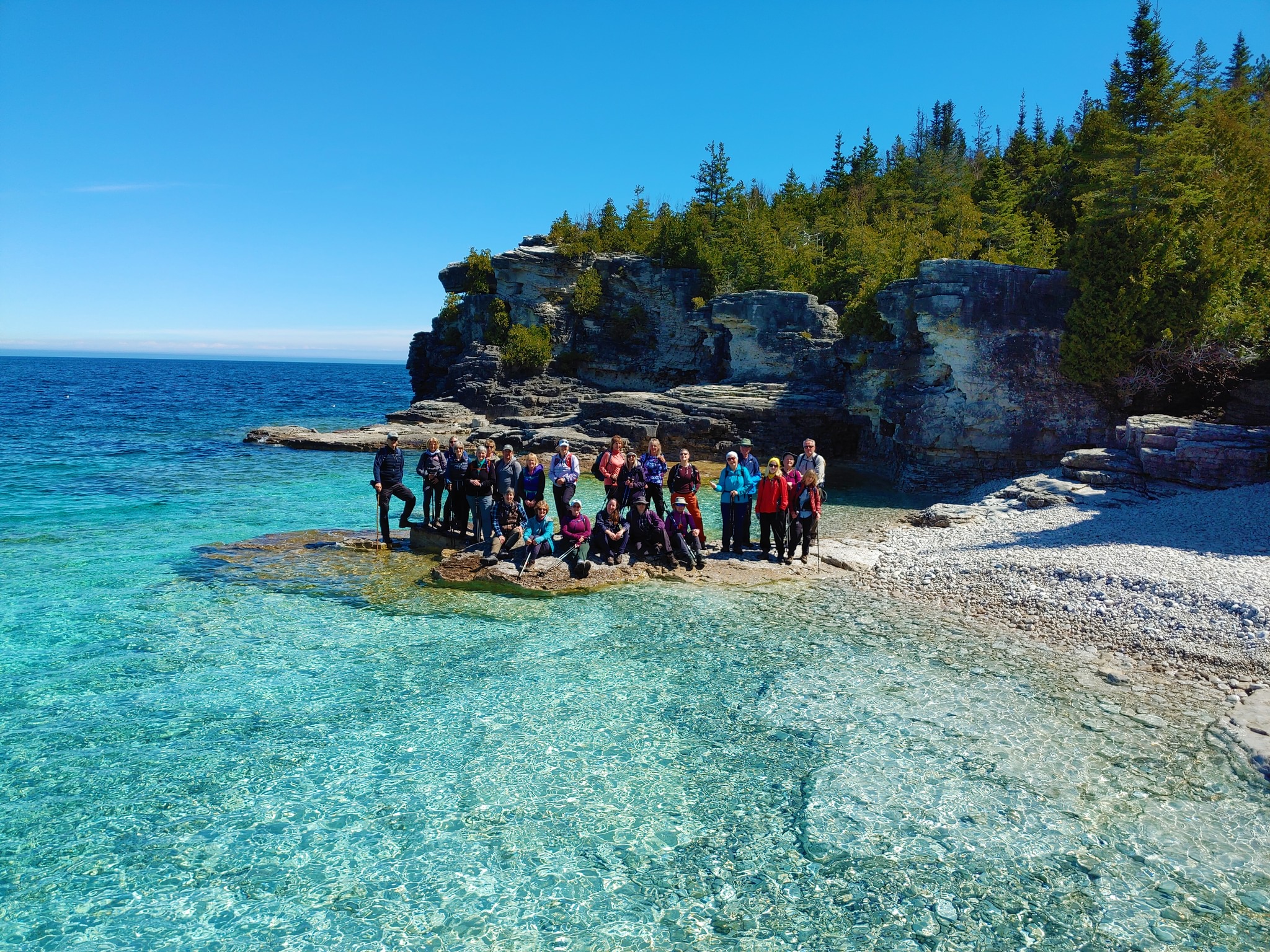
Peninsula End2End in 18 Series
https://hikesstaging.brucetrail.org/event/peninsula-end2end-in-18-series/Sorry, the registration cut-off time for this hike has been reached.Not a member? Click here to join today!Hike open to BTC Members only.
This is a Multi-Day Hike
You are signing up for the following dates:
2025-05-01, 2025-05-02, 2025-05-15, 2025-05-16, 2025-05-29, 2025-05-30, 2025-06-12, 2025-06-13, 2025-06-26, 2025-06-27, 2025-09-04, 2025-09-05, 2025-09-18, 2025-09-19, 2025-10-02, 2025-10-03, 2025-10-16, 2025-10-17Hosting Club: Peninsula
Category: Peninsula E2E
Location (Google Maps):Hike Leader(s): Randy Vanderlaan, Saabir Sohrab Click here to contact Hike Leader(s)
Pace: Leisurely (2.0 – 3.0 km/h): A relaxed pace with frequent breaks and a focus on enjoyment.
Terrain: Difficult: Steep ascents/descents, rocky scrambling, and some rugged escarpment paths., Moderate: Rolling hills, mild slopes and rocky paths.Description
Peninsula End to End in 18 hikesOpen to Bruce Trail Conservancy (BTC) Members Only.Non-members can join by signing up for a one-year BTC membership [$75] before registering at Bruce Trail Conservancy Memberships.
Participant Limit: Maximum of 30 participants, including the hike leader and sweep(s).
Registration Fee: BTC Members: $200 – includes Bus Shuttle, Bruce Peninsula National Park (BPNP) Fees, and Badge Fee. Surplus, if any, supports Peninsula Bruce Trail Club’s hike program.
Confirm Your Registration via E-transfer of $200 to HikeWithPBTC@gmail.com – Note: No refunds, hiker substitutions, or guest hikers.
Hike Leadership:
Led by PBTC Certified Hike Leader(s) and Sweep(s).
Pace: Moderate/Medium
Terrain: Moderate/Difficult
Average Hike Distance: Approximately 8 – 12 KM per day, [one of the hikes is 14 KM]
Hike Overview:
Complete the Peninsula section of the Bruce Trail over 18 hikes.
Direction: Northbound from Wiarton to Tobermory.
Group Hike Format: Participants must be committed to the entire series.
Series is designed for intermediate hikers comfortable with moderate challenges, including longer distances and elevation gains.
Expected Pace: Up to 3 km/hr over 8 – 12km, with the longest section being 14km. Average pace may be slower than 3 km/hr, depending upon the experience of the hikers.
Total Distance: Approximately 165 km with no dropout points.
Time allocated for photography and appreciation of local flora and fauna.
Participant Requirements:
Ensure you are physically fit to participate in this series
Attire: Proper hiking boots, layered clothing for varying weather, and wet weather gear. Hiking poles are recommended.
Essentials: Sufficient food [lunch], snacks and water for a full day, bug spray.
Breaks: Morning, 15-30 minute on-trail lunch, and afternoon breaks, weather-dependent.
Participant is required to sign a BTC Waiver of Liability
Transportation:
Bus shuttle to trailhead and from end of hike, avoiding car shuttles.
Typical Meeting Time: Around 9 AM, with return times varying based on daily hiking distance and bus schedule.
Environmental Responsibility:
Adherence to Leave No Trace principles.
Collective effort in trail cleanliness.
Note: Dogs are not permitted on this hike.
Accommodation Options:
Early reservations are recommended.
Suggested locations: Near meeting points or centrally in Lion’s Head.
Options include motels, campgrounds, hostels, and B&Bs.
Schedule and Communication:
Detailed itinerary will be sent to participants prior to each two-day hike segment.
Schedule subject to change.
Join us for this memorable hiking adventure and be part of a community dedicated to preserving and enjoying the natural beauty of the Bruce Trail.
Hiking Around Cave springs. NEW LOCATION
https://hikesstaging.brucetrail.org/event/hiking-around-cave-springs-new-location-6/Sorry, the registration cut-off time for this hike has been reached.Not a member? Click here to join today!Hosting Club: Niagara
Location (Google Maps):
Cave Springs Conservation Area)
Hike Leader(s): Bill Russell Click here to contact Hike Leader(s)
Pace: Medium
Terrain: Moderate
Distance: 6kDescription
Hiking in and around Cave Springs
*Sights of Kerncliff and Cityview
https://hikesstaging.brucetrail.org/event/sights-of-kerncliff-and-cityview/Sorry, the registration cut-off time for this hike has been reached.Not a member? Click here to join today!Hike open to BTC Members only.
Hosting Club: Iroquoia
Category: Thursday Group
Location (Google Maps):Meet at the north end of Havendale Blvd. in Mansfield Park. On street parking available on Havendale Blvd. and Monmouth Drive. Try to arrive by 9:20 as we will depart at 9:30. See map 9 of the Trail Guide (formerly Havendale Blvd Side Trail). We will walk through Kerncliff and Cityview Parks out to King Road area and back using side trails. Bring water and optional snack. We will go for a tea or coffee at the nearby Tim Hortons on Brant Street after the hike, for those who wish to join us.
Hike Leader(s): Paul Toffoletti Click here to contact Hike Leader(s)
Pace: Medium – 3 to 4 km/hr
Terrain: Strenuous – Hilly with steep climbs and some poor footing
Distance: 6kmDescription
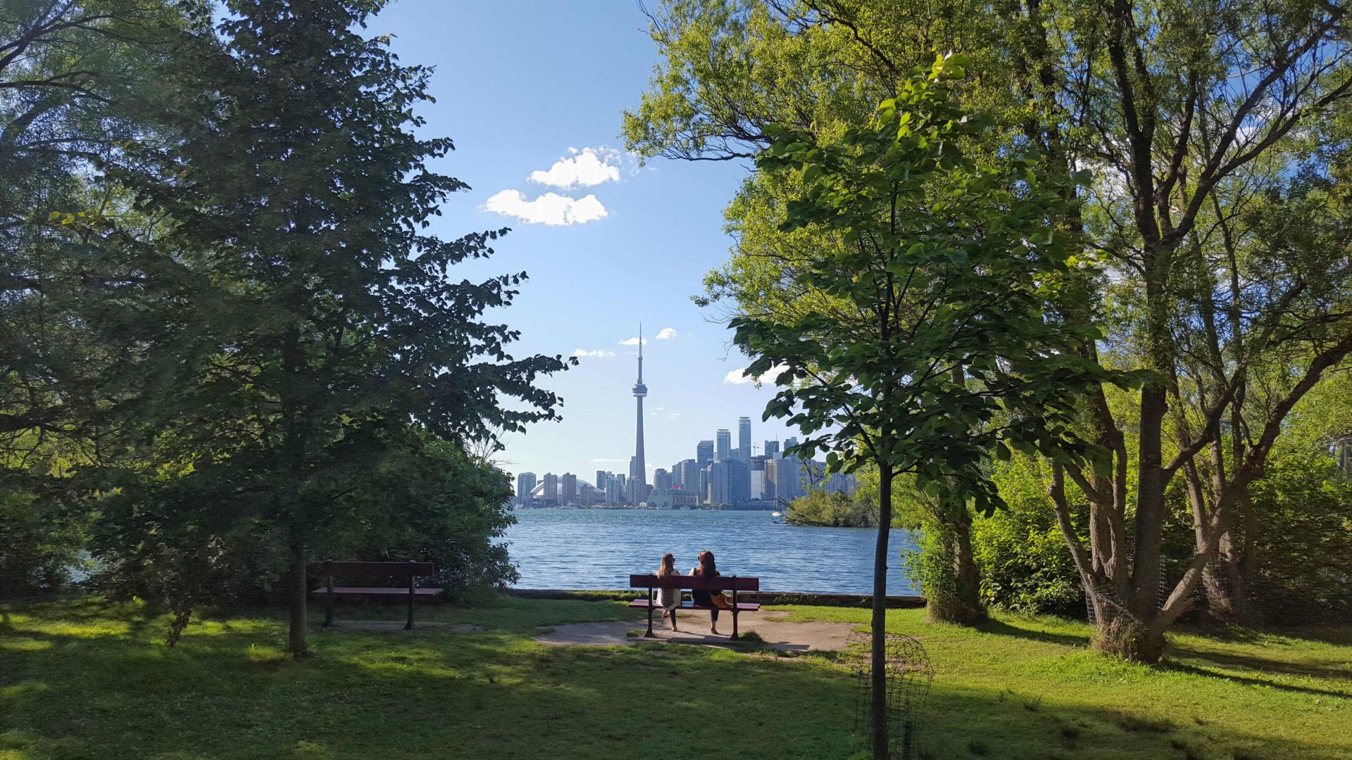
Urban Walk: Toronto Islands Evening Walk
https://hikesstaging.brucetrail.org/event/urban-walk-toronto-islands-evening-walk-10/Sorry, the registration cut-off time for this hike has been reached.Not a member? Click here to join today!Hosting Club: Toronto
Category: Urban Walk
Location (Google Maps):Jack Layton Ferry Terminal, near the gates to Wards Island Ferry. Arrive 20 minutes prior to departure to check in with hike leader.
From Union Station take the LRT and get off at the stop Ferry Docks.Walk up to the Ferry Docks on Queens Quay West, street level. at the foot of Bay Street.
Hike Leader(s): Miriam Stevens Click here to contact Hike Leader(s)
Pace: Leisurely (2-3 km/hr)
Terrain: Flat
Distance: 6-9 kmDescription
After a day’s work come and “cool off” on the Toronto Islands free of fumes and traffic. Enjoy the view of the city skyline and Toronto’s beautiful island parkland.
Pack a dinner for a sit down picnic. Food is not available for purchase on the Islands early in the season. Also bring a warm jacket and flashlight.
Return fare ticket for the ferry is $9.11 adults and $5.86 seniors.
Hikes will take place rain or shine.
Toronto Island evening hikes will take place every Thursday in May and June 2025.
Same time and same meeting place. No preregistration is required – just show up at the ferry docks at 5:40 PM and sign in with the hike leader. - 02May 2, 2025
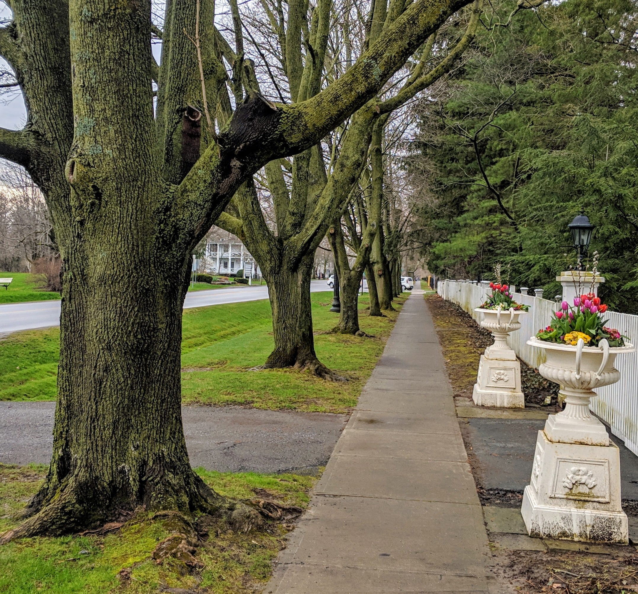
Niagara-on-the-Lake Tour
https://hikesstaging.brucetrail.org/event/niagara-on-the-lake-tour-6/Sorry, the registration cut-off time for this hike has been reached.Not a member? Click here to join today!Hosting Club: Niagara
Category: Urban
Location (Google Maps): Park on King St, Centre St near Veteran’s Memorial ParkHike Leader(s): Margaret Northfield Click here to contact Hike Leader(s)
Pace: Medium
Terrain: Easy
Distance: 6-7kmDescription
Each Friday we will explore different neighbourhoods, trails and parkland throughout Historic Niagara-on-the-Lake.Moderate pace with some weeks entirely on sidewalks and roads while others may include a mix of trails and paved pathways. Great way to build up endurance for longer more strenuous hikes.
Prepare for cooler windy conditions on open parkland and along Lake Ontario and Niagara River trails.
Plan to stay for conversation and a warm cup of coffee or tea at Sweets and Swirls, Community Centre, 14 Anderson Lane, (just off Niagara Stone Rd), NOTL
- 03May 3, 2025
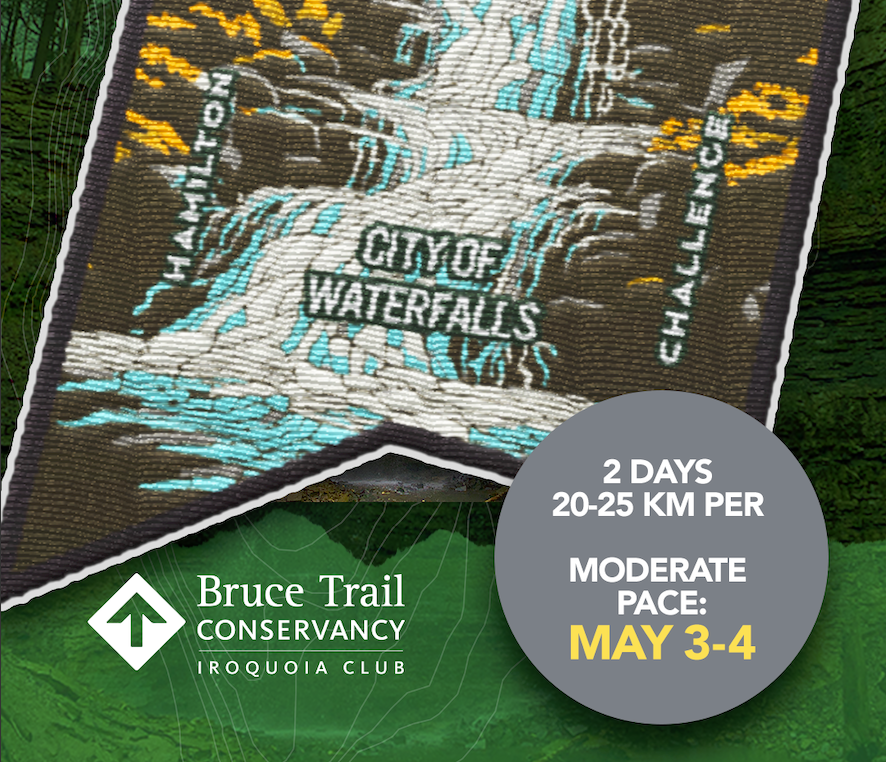
City of Waterfalls – Special Event Fundraiser
https://hikesstaging.brucetrail.org/event/city-of-waterfalls-special-event-fundraiser-2/Sorry, the registration cut-off time for this hike has been reached.Not a member? Click here to join today!This is a Multi-Day Hike
You are signing up for the following dates and times:
2025-05-03 at 06:45
2025-05-04 at 06:45Hosting Club: Iroquoia
Category: City of Waterfalls – Special Event Fundraiser
Location (Google Maps): DAY 1: MAY 3 – Parking Lot off of Mud St providing access to the Mud Street Side Trail (capacity 30)DAY 2: MAY 4 – Parking lot at City View Park off of Kerns Rd. Enter from Dundas St. (capacity 50) 43.351747, -79.862195
Hike Leader(s): Joe Borges Click here to contact Hike Leader(s)
Pace: Medium – 3 to 4 km/hr
Terrain: Dependent on Conditions, Moderate – Some hills and/or some poor footing
Distance: Approximately 22-25km / per dayDescription
Welcome to Iroquoia, City of Waterfalls Challenge! This is a fundraiser challenge event. All funds raised go towards the Iroquoia Bruce Trail Club to maintain the infrastructure of this beautiful section of trail and to “Preserve this ribbon of wilderness, for everyone, forever!”We also encourage participants to consider a membership with Conservation Hamilton
https://conservationhamilton.ca/hca-membership-pass/And/or Conservation Halton (50%discount with BTC membership)
https://www.conservationhalton.ca/park-fees-membership-rates/DAY 1: MAY 3 – We will meet in the parking area off of Mud St and car shuttle to Artaban Rd Parking Lot (Conservation Hamilton) and hike back. The cost for this parking lot is $11.00 per vehicle. To be confirmed. Day 1 Distance Approx 22-25km
DAY 2: MAY 4 – We will meet at Cityview Park and car shuttle to Spencer Gorge Parking Lot (Conservation Hamilton) and hike back. The cost at this parking lot is $16.50 per vehicle and driver plus $5.50 for each passenger. To be confirmed. Day 2 Distance 21-23km
Please ensure your vehicle is car shuttle ready by having a minimum of 4 seatbelts available – drivers do not pay for the parking. Please volunteer for this important component of this challenge or we can throw all the names into a hat. While we encourage carpooling to the start of the hike, please let the hike leader know if you’re planning to arrive with more than two people in your vehicle. This hike will be limited to 20 people including the hike leader so we will need at least 4 vehicles and one vehicle with 5 seatbelts to drive the drivers back at the end of the day. We will try to take as few vehicles as possible. On the second day, those who did not drive on the first day will be asked to drive.
There will be short breaks along the way to admire the waterfalls on route and a short lunch.
Please bring all the hiking items you require for a long day hike including 2l of water, snacks, lunch, first aid kit, rain gear if rain is forecast, plastic shower caps for your boots if muddy, bug spray, sunscreen, rimmed hat, poles (if you use them) and your camera for all the photo ops. Please ensure you are physically able to complete two long day hikes over two days – if you must drop out, you will have to arrange your own transportation back to your vehicle. There is public transportation, Uber, and taxi’s in the area. If you are concerned about whether you will be able to manage the distance over the two day period, it’s possible that you may need to wait until a 4 day version of this event is posted.
The new badge will be presented to all participants who have completed the challenge at the end of the second day.
Any questions may be directed through contact on this form.

City of Waterfalls - Special Event Fundraiser
https://hikesstaging.brucetrail.org/event/city-of-waterfalls-special-event-fundraiser/Sorry, the registration cut-off time for this hike has been reached.Not a member? Click here to join today!This is a Multi-Day Hike
You are signing up for the following dates and times:
2025-05-03 at 06:45
2025-05-04 at 06:45Hosting Club: Iroquoia
Category: City of Waterfalls – Special Event Fundraiser
Location (Google Maps): May 3 – Parking lot at City View Park off of Kerns Rd. Enter from Dundas St. (capacity 50) 43.351747, -79.862195
May 4 – Parking Lot off of Mud St providing access to the Mud Street Side Trail (capacity 30)Hike Leader(s): Ruth Moffatt Click here to contact Hike Leader(s)
Pace: Medium – 3 to 4 km/hr
Terrain: Dependent on Conditions, Moderate – Some hills and/or some poor footing, Strenuous – Hilly with steep climbs and some poor footing
Distance: Approximately 21-23kmDescription
Welcome to Iroquoia, City of Waterfalls Challenge! This is a fundraiser challenge event. All funds raised go towards the Iroquoia Bruce Trail Club to maintain the infrastructure of this beautiful section of trail and to “Preserve this ribbon of wilderness, for everyone, forever!”We also encourage participants to consider a membership with Conservation Hamilton https://conservationhamilton.ca/hca-membership-pass/
May 3 – We will meet at Cityview Park and car shuttle to Spencer Gorge Parking Lot (Conservation Hamilton) and hike back. The cost at this parking lot is $16.50 per vehicle and driver plus $5.50 for each passenger. To be confirmed. Day 2 Distance 21-23km
May 4 – We will meet in the parking area off of Mud St and car shuttle to Artaban Rd Parking Lot (Conservation Hamilton) and hike back. The cost for this parking lot is $11.00 per vehicle. To be confirmed. Day 1 Distance Approx 22-25km
Please ensure your vehicle is car shuttle ready by having a minimum of 4 seatbelts available – drivers do not pay for the parking. Please volunteer for this important component of this challenge or we can throw all the names into a hat. While we encourage carpooling to the start of the hike, please let the hike leader know if you’re planning to arrive with more than two people in your vehicle. We will try to take as few vehicles as possible. On the second day, those who did not drive on the first day will be asked to drive.
There will be short breaks along the way to admire the waterfalls on route and a short lunch.
Please bring all the hiking items you require for a long day hike including 2l of water, snacks, lunch, first aid kit, rain gear if rain is forecast, plastic shower caps for your boots if muddy, bug spray, sunscreen, rimmed hat, poles (if you use them) and your camera for all the photo ops. Please ensure you are physically able to complete two long day hikes over two days – if you must drop out, you will have to arrange your own transportation back to your vehicle. There is public transportation, Uber, and taxi’s in the area. If you are concerned about whether you will be able to manage the distance over the two day period, it’s possible that you may need to wait until a 4 day version of this event is posted.
The new badge will be presented to all participants who have completed the challenge at the end of the second day.
Any questions may be directed through contact on this form.
Peninsula End2End in 8 Series
https://hikesstaging.brucetrail.org/event/peninsula-end2end-in-8-series/Sorry, the registration cut-off time for this hike has been reached.Not a member? Click here to join today!Hike open to BTC Members only.
This is a Multi-Day Hike
You are signing up for the following dates:
2025-05-03, 2025-05-04, 2025-05-11, 2025-05-17, 2025-05-18, 2025-05-19, 2025-05-24, 2025-05-25Hosting Club: Peninsula
Category: Peninsula E2E
Location (Google Maps):Hike Leader(s): Saabir Sohrab, Julie Bennett, Randy Vanderlaan Click here to contact Hike Leader(s)
Pace: Medium (3.0 – 4.5 km/h): A comfortable pace for most hikers with steady progress.
Terrain: Difficult: Steep ascents/descents, rocky scrambling, and some rugged escarpment paths., Moderate: Rolling hills, mild slopes and rocky paths.
Distance: Approx. 171km total [~21km per day]Description
Peninsula End2End in 8 HikesOpen to: Bruce Trail Conservancy (BTC) Members Only. Non-members can join by signing up for a one-year BTC membership ($75) before registering at Bruce Trail Conservancy Memberships. Sign up here https://development.brucetrail.org/product-category/memberships/
Participant Limit: Maximum of 12 participants.
Registration & Fees:
- BTC Members: $50 (includes badge fee)
- To confirm your registration, e-transfer $50 to HikeWithPBTC@gmail.com.
- Note: No refunds, hiker substitutions, or guest hikers.
- Registration fee does not include Bruce Peninsula National Park entry fee. Parking charges will be shared among participants.
- The $50 fee also supports the Peninsula Bruce Trail Club’s hike program.
- Participants must sign a BTC Waiver of Liability.
Hike Overview:
- Route: Northbound from Wiarton to Tobermory
- Pace: Medium (3-4 km/h)
- Terrain: Moderate/Difficult
- Distance: Approximately 171 km total (~21 km per day)
- Leadership: Led by PBTC Certified Hike Leader(s) and Sweep(s)
- Expectations: Expect to be on-trail for 7-9 hours each day, depending on the daily distance (ranging from 19.2 km to 25.1 km). Time on the trail may vary based on terrain, conditions, and the pace of the group (3-4 km/h). Breaks will be taken for lunch, snacks, photography, and to appreciate the scenery.
- Meeting Time: 8:00 AM. Please arrive no later than 15 minutes prior to the scheduled time
- Participant Requirements:
- Intermediate/experienced hikers, comfortable with longer distances and elevation gains.
- Must be physically fit for group hiking.
- Proper hiking boots, layered clothing, and wet weather gear required. Hiking poles recommended.
- Essentials: Lunch, snacks, water, bug spray.
- Breaks for photography and appreciation of local flora and fauna.
Transportation:
- Car Shuttle: Participants will take turns as shuttle drivers. Ensure your vehicle is passenger-ready.
Accommodations:
- Early reservations recommended, especially near meeting points or in Lion’s Head. Suggested options: motels, campgrounds, hostels, and B&Bs.
Environmental Responsibility:
- Leave No Trace principles.
- Collective trail cleanliness efforts.
Note: Dogs are not permitted

Coach Trip: Presqu'ile Provincial Park Alpaca Hike
https://hikesstaging.brucetrail.org/event/coach-trip-presquile-provincial-park-alpaca-hike/Sorry, the registration cut-off time for this hike has been reached.Not a member? Click here to join today!Trip Information
Departure Time: 08:00
Return to City Time: 18:30
Departure Point: York Mills Bus PickupTrip Activities
Alpaca Experience (Payable by etransfer in advance - (mandatory) See Hike Description) ($40.00)
Optional Items
Hiking (Please select both this item and above item) ($.01)Hosting Club: Toronto
Category: Coach Trips
Location (Google Maps): Presqu’ile Provincial ParkHike Leader(s): Lisa R. Lifshitz, Nijole Mockevicius, Felix Wan Click here to contact Hike Leader(s)
Pace: Moderate (3-4 km/hr)
Terrain: Flat, Level 1 (Easy – mostly on flat, well maintained trails with hard-packed surface)
Distance: 9kmDescription
Come join us for our second annual Alpaca/Presqu’ile Provincial Park hike, located in Brighton, Ontario. Travelling in a luxury coach bus, we start by visiting Old Mill Alpacas, an Alpca farm where you will have the opportunity to take turns walking Alpacas, spend time with them to feed them apples, learn about their habits and take lots of great photos. Our lunch will be in Presqu’ile Provincial Park. In the early afternoon we will hike the best trail of the Park, visiting paths along the shorelines, woodlands and meadows. We will also stop at the second oldest operating lighthouse in Ontario. We will also do the marsh boardwalk trail accessing the largest protected marsh on the north shore of Lake Ontario. We have negotiated a special rate for the Alpca experience ($40, tax included) which must be paid to Lisa separately from the bus rates in advance to join the bus. Please e-transfer $40 to lisa.ruth@rogers.com per person attending promptly (no later than 48 hours) after you register for this hike on the site. If time permits, we will also stop at the Big Apple before we head back to Toronto. Total hiking around 9km but it will be an amazing day.Reminder to our non-members: You are most welcome to join this hike but you must remember to sign up with the Bruce Trail using this signup process in addition to e-transferring payment for the Alpaca tour as you have to be formally registered (and pay the Bruce Trail bus fees) in advance to get on the bus.

Sydenham Bruce Trail Club End to End Event
https://hikesstaging.brucetrail.org/event/sydenham-bruce-trail-club-end-to-end-event/Sorry, the registration cut-off time for this hike has been reached.Not a member? Click here to join today!Hike open to BTC Members only.
This is a Multi-Day Hike
You are signing up for the following dates:
2025-05-03, 2025-05-04, 2025-06-07, 2025-06-08, 2025-09-13, 2025-09-14, 2025-10-04, 2025-10-05Hosting Club: Sydenham
Category: General Hike
Location (Google Maps):Sydenham section – details to be provided by email after registration
Hike Leader(s): Bill Snel Click here to contact Hike Leader(s)
Pace: Medium: 3 to 4 km/h
Terrain: Moderate: Some hills and/or poor footing, There might be muddy sections., There might be sections with water on the trail.
Distance: The 8 hikes vary from 18.6 to 23.2 kmsDescription
The official Sydenham Bruce Trail Club End to End event consists of 8 hikes over 4 weekends in May, June, September, and October.Registration opens at 8:30 am on Monday 3 March 2025 to Bruce Trail members only at $140 per participant. Refunds are not accepted! Participation is limited to 48 BTC members (one bus).
The fee includes: bus transportation each morning from the hike end location to the hike start and 1 or 2 checkpoints each day with water and snacks.
Plan on registering early as the last hikes in 2023 sold out in just less than 30 minutes.
On successful completion of all 8 hikes, you will earn the exclusive Official SBTC End to End badge.
Hikes are self-guided. You will hike on your own; there is no Hike Leader. Hikes average 21 km each day ranging from 18.6 km to 23.2 km. The total distance over 8 hikes is approx 167 km. While checkpoints will provide light snacks and water refills, your backpack should contain everything you need for a distance day hike: map(s) or Bruce Trail App, hydration, lunch, first aid.
Full details will be provided to registrants closer to the event dates.
If you have any questions, please contact Hike Coordinator Bill Snel at sydenhame2e@gmail.com.
Car Hike: East Point Park Bird Sanctuary, Scarborough, ON
https://hikesstaging.brucetrail.org/event/car-hike-east-point-park-bird-sanctuary-scarborough-on-3/Sorry, the registration cut-off time for this hike has been reached.Not a member? Click here to join today!Hosting Club: Toronto
Location (Google Maps): East Point Park Bird Sanctuary, Scarborough, ON
parking lot at the end of Beech grove Dr.Hike Leader(s): Mohammad Aghamiri Click here to contact Hike Leader(s)
Pace: Moderate (3-4 km/hr)
Terrain: Flat
Distance: 12-14 kmDescription
We will hike along lake Ontario to Scarborough Bluffs.Please bring hiking poles, proper closing and shoes and lots of smile,
Car Hike: Exploring Uxbridge Trails (Wilder Forest, Walker Woods, and Glen Major Forest)
https://hikesstaging.brucetrail.org/event/car-hike-exploring-uxbridge-trails-wilder-forest-walker-woods-and-glen-major-forest-6/Sorry, the registration cut-off time for this hike has been reached.Not a member? Click here to join today!Hosting Club: Toronto
Category: Car Hike
Location (Google Maps):2499 Brock Rd, Uxbridge, ON L9P 1R4. We will meet at the East Duffins Headwaters parking lot at the WILDER FOREST trail head. As soon as you got off the Brock Road, passing the horse back riding facility, there is a free designated parking lot 70 meters down the lane to your right. It includes a sign board for East Duffins Headwaters with a map of the trails. Please do not park on the lane or in the horse back riding property.
Hike Leader(s): Amir Alemohammad Click here to contact Hike Leader(s)
Pace: Moderate (3-4 km/hr)
Terrain: Flat, Hilly, Level 2 (Intermediate – some hills and uneven surfaces, rocks and roots underfoot), Variable
Distance: Approx.14-15 KmDescription
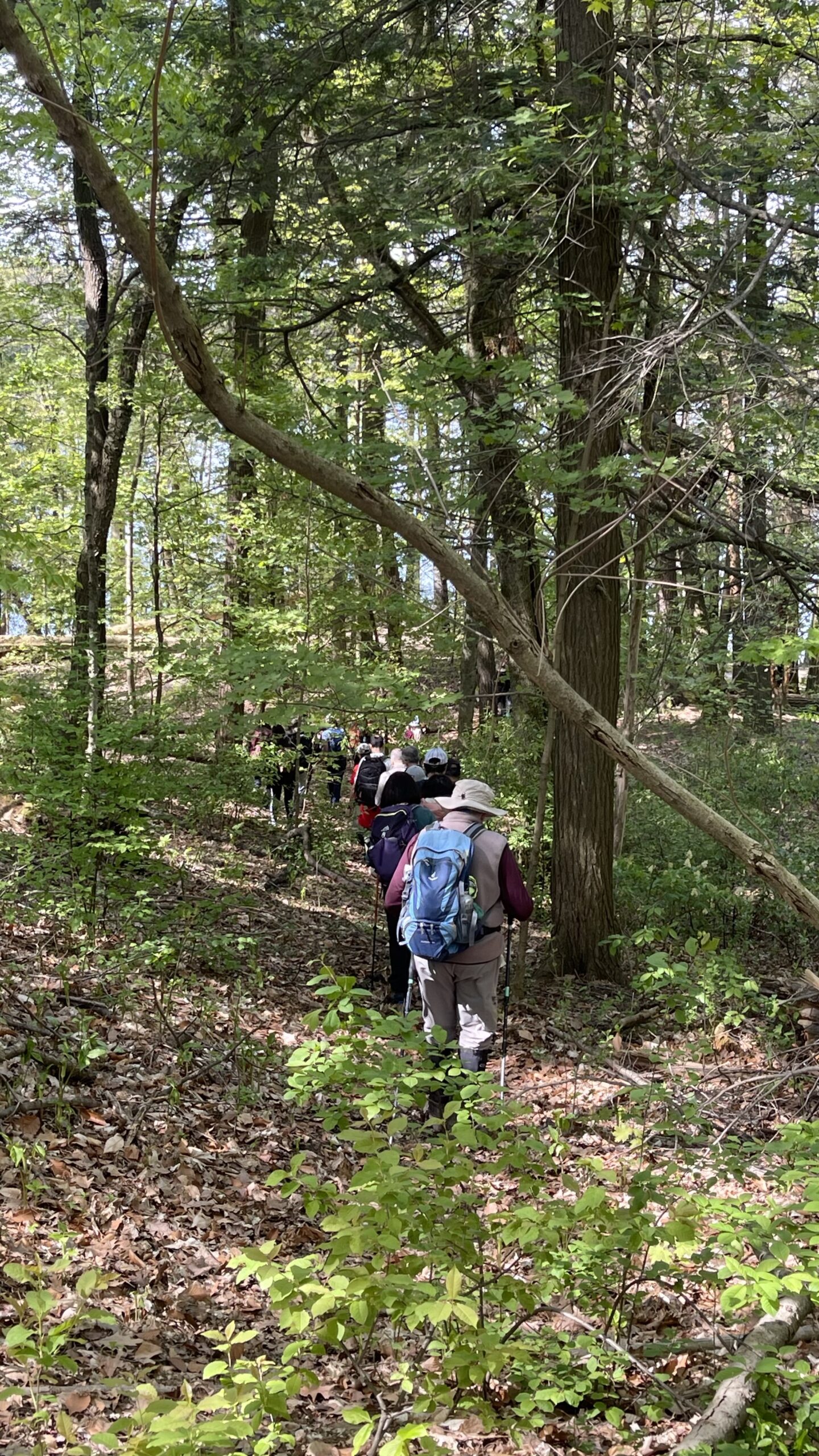
Join us for a delightful spring hike in Uxbridge, as we explore Wilder Forest, Walker Woods, and Glen Major Forest on a scenic loop starting from Brock Road. We’ll pass Concession Road 6, heading west and back, while also venturing onto several side trails for even more stunning views.What to Expect:
•Beautiful scenic views and lookouts facing south
•A mix of hilly and flat terrain
•Frequent 2-minute breaks for hydration and photos, with a 10-20 minute lunch/snack stop
•Stay on designated trails at all times
What to Bring and Wear:
•Hiking Boots and poles (recommended)
•At least 2 liters of water
•Your favorite snacks and lunch (pack your own refreshments for an outdoor meal)
•Dress accordingly variable weather; chilly morning with midday higher temperatures expected
Important Details:
•Stay on the designated trails
•Be prepared for the elements and enjoy the adventure!
Looking forward to seeing you on the trail!
Don’t forget your camera and a smile as we explore the beauty of the Uxbridge trails!
Car Hike: Rouge National Park Trails 16 KM + Farm Visit
https://hikesstaging.brucetrail.org/event/car-hike-rouge-national-park-trails-16-km-farm-visit/Sorry, the registration cut-off time for this hike has been reached.Not a member? Click here to join today!Hosting Club: Toronto
Category: Car Hike
Location (Google Maps):Rouge National Urban Park, 19th Avenue Day Use Area
Hike Leader(s): Alina Lin
Pace: Brisk (4-5 km/hr)
Terrain: Challenging, Level 2 (Intermediate – some hills and uneven surfaces, rocks and roots underfoot), Variable
Distance: 16 KMDescription
Meet at the parking lot Northeast of the Ninth Line @ 19th Ave, GPS ( 43.952621, -79.246167) .Please arrive before 8:45 am to get yourself ready.
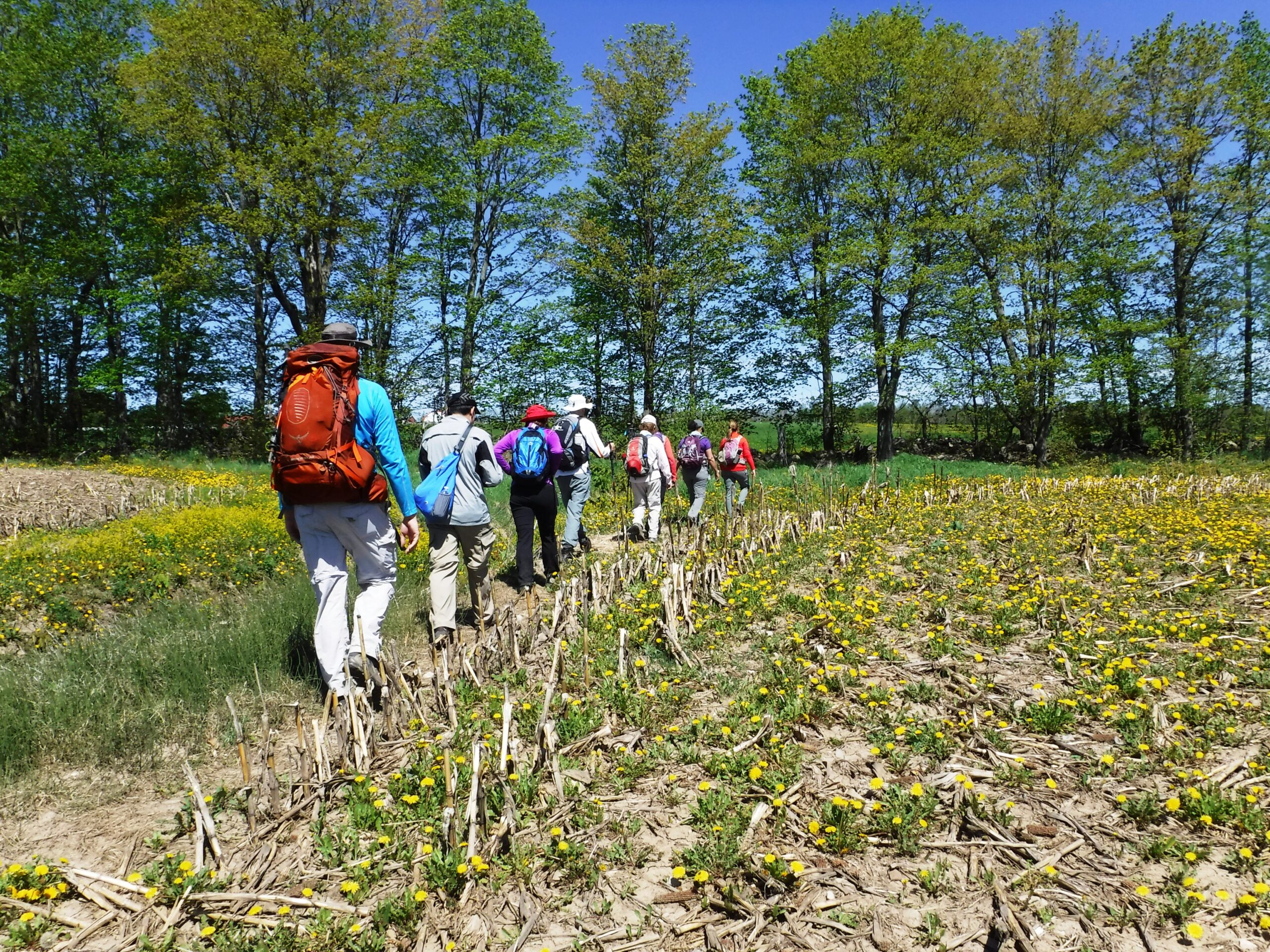
We will leave the parking lot at 9:00am, hike along Rouge National Park Trails to the Regional Road 5 , and then return. Here is the planned route FYI: https://onthegomap.com/s/mkd1mq6k . Depending on the trail condition, we may have to adjust the route or distance.
After hike, feel free to join me for a local farm visit at the Carma Farms (11471 9th Line, Markham, ON L6B, Canada, Markham, ON, Canada, Ontario).
Notes for your attention:
- Wear clothing in layers for the weather.
- Bring water, snacks or light lunch. We will have a short break for lunch after reaching turning point.
- No dogs/pets.
Saturday Shorts: Riverside Woods Citizen Scientist Nature Walk
https://hikesstaging.brucetrail.org/event/saturday-shorts-riverside-woods-citizen-scientist-nature-walk/Sorry, the registration cut-off time for this hike has been reached.Not a member? Click here to join today!Hosting Club: Caledon Hills
Category: Nature Walks
Location (Google Maps): Bruce Trail Parking Lot at Riverside Woods
713377 1st Line EHS, Mono
Google GPS Coordinates: 43.959916, -80.070494Driving Directions:
From Hwy #10 north of Orangeville, turn east on Hockley Road.
Drive for 1.1 km.
Continue straight onto Side Road 5 for 1.6 km.
Turn left onto 1st Line EHS for 900 metres.
Continue straight into the parking lot.FYI, there is an outhouse in the parking lot.
***DO NOT take 1st Line EHS south from Hockley Road. It is NOT maintained. Google Maps may suggest this impassable route.
Hike Leader(s): Sandy Green Click here to contact Hike Leader(s)
Pace: Leisurely – 3 km/hour or less
Terrain: Moderate – some hills and/or some poor footing
Distance: 5 kmDescription
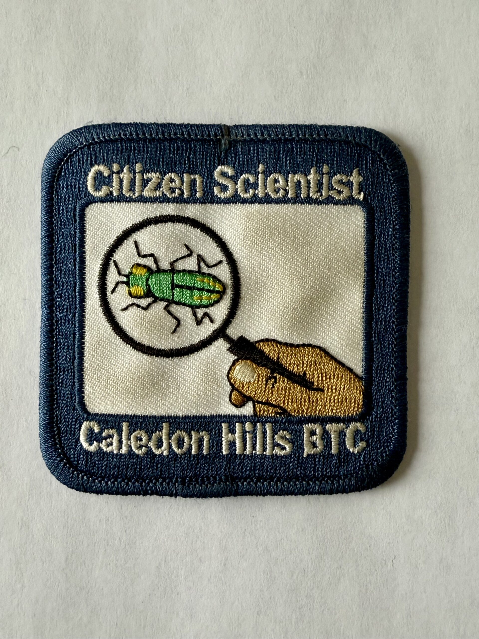
Pique your curiosity about the awakening forest at the Riverside Woods Nature Reserve. Learn to use nature identification apps Merlin, Seek and iNaturalist to collect biodiversity data along the Bruce Trail for the BTC’s iNaturalist Project. Badge seekers can work towards earning the CHBTC Citizen Scientist badge.
Dufferin Hi-Land 60th Anniversary Side Trail Highlights
https://hikesstaging.brucetrail.org/event/dufferin-hi-land-60th-anniversary-side-trail-highlights-5/Sorry, the registration cut-off time for this hike has been reached.Not a member? Click here to join today!Hosting Club: Dufferin Hi-Land
Category: General Hike
Location (Google Maps): Park in Rock Hill parking lot (km 28.5) on 1st Line E just south of Dufferin Rd 17/10 Sideroad.Hike Leader(s): su Bate, Helen Bailey Click here to contact Hike Leader(s)
Pace: Brisk
Terrain: Moderate, Slippery Sections Likely
Distance: 9kmDescription
This is the final hike in a series of 6 loop hikes. If you hiked all 6 of the hikes in this series, Congratulations! you will receive the 60th Anniversary badge at the end of this hike. The badge costs $10 for members and $15 for non-members. Please bring exact CASH if possible.We will follow the Bruce Main Trail east to Enchanted Forest Side Trail. Turn right onto Main Trail at end of Enchanted Forest and continue a short distance to Moss Haven Side Trail. At top of Moss Haven continue west on Main Trail back through parking lot, north on 1st Line E, then west to Rock Hill Park Side Trail. Where Rock Hill Park rejoins the Main Trail turn south and return to parking lot, taking the David Hahn Side Trail loop along the way.

POSTPONED PLEASE CHECK BACK FOR RESCHEDULED DATE GeoHike #2: Murphy's Pinnacle
https://hikesstaging.brucetrail.org/event/geohike-2-murphys-pinnacle/Sorry, the registration cut-off time for this hike has been reached.Not a member? Click here to join today!Hosting Club: Dufferin Hi-Land
Category: General Hike
Location (Google Maps): Meet at Map 20 KM18.7 at the dead end of Centre Road (just south of 5 Sideroad, Mulmur)Hike Leader(s): Lynda Bloom; Margery Cruise Click here to contact Hike Leader(s)
Pace: Medium
Terrain: Dependent on Conditions, Moderate
Distance: 7 kmsDescription
We will hike about 7 km on side trails in the Boyne Valley Provincial Park. Visiting Murphy’s Pinnacle gives us a viewpoint over the Boyne River Valley with the towers of Toronto visible to on a clear day. The Pinnacle is a glacial age sand and gravel kame; we will learn what a kame is and how to make one! A professional geologist will explain how the rolling hills of Mulmur formed and what it means for forest growth. In May we should be able to enjoy the first wildflowers of the season and we’ll share our knowledge of local flora.
DATE CHANGE - Hilton Falls on the Bike Trails
https://hikesstaging.brucetrail.org/event/hilton-falls-on-the-bike-trails/Sorry, the registration cut-off time for this hike has been reached.Not a member? Click here to join today!Hosting Club: Iroquoia
Category: General Hike
Location (Google Maps): Meet in the parking lot at Hilton Falls Conservation Area at 9:15 am.Hike Leader(s): Karen Bergmann Click here to contact Hike Leader(s)
Pace: Medium – 3 to 4 km/hr
Terrain: Moderate – Some hills and/or some poor footing
Distance: 8 kmsDescription
We will hike to the Falls and then across the creek to the bike trails and back along the Red Oak Trail. Expect to see spring wildflowers and hear birds, as spring is in full swing. Reserve your time at conservationhalton.ca
Geology Hike #6A Palisades
https://hikesstaging.brucetrail.org/event/geology-hike-6a-palisades/Sorry, the registration cut-off time for this hike has been reached.Not a member? Click here to join today!Hosting Club: Sydenham
Category: Geology Hike
Location (Google Maps):Harrison Park Inn parking lot, 137 Second Avenue East Owen Sound
Hike Leader(s): Carol Graham-Mullin Click here to contact Hike Leader(s)
Pace: Leisurely: 3 km/h or less
Terrain: Easy: Mostly flat and good footing., Moderate: Some hills and/or poor footing, Strenuous: Hilly with steep climbs and some poor footing., There might be icy and slippery sections.
Distance: 6 km. approxDescription
This is part A of Geology Hike #6 (Palisades section) following Beth Gilhespy’s book “Walking Through Time” in the Sydenham Bruce Trail Section. This is a balloon hike, starting from the parking lot at Harrison Park Inn, hiking north along the Harrison Park sidetrail up to 7th Avenue East access to the Palisades side trail and looping back on the main trail and back to our starting point.Copies of Beth’s book will be available for purchase. Special member’s only price of $37.00 . Cash, cheque or etransfer. If paying with cash, please bring exact change. A special guest may join us ! Please bring water and a snack if you wish. Proper hiking footwear and hiking poles are recommended.

Urban Walk: Toronto Urban Badge Hike - 2 of 7
https://hikesstaging.brucetrail.org/event/urban-walk-toronto-urban-badge-hike-2-of-7/Sorry, the registration cut-off time for this hike has been reached.Not a member? Click here to join today!Hosting Club: Toronto
Category: Urban Walk
Location (Google Maps): Humber River Recreational TrailHike Leader(s): Brian Rideout Click here to contact Hike Leader(s)
Pace: Moderate (3-4 km/hr)
Terrain: Flat
Distance: 10.9 kmDescription
Please join me at the south east corner of Eglinton and Scarlett by 10 AM. We will hike south on the Humber Recreational Trail to Lakeshore Blvd and Ellis (km 19.2 to km 8.3). Here is an online map with km markings of our route for all 7 hikes for the Toronto Urban Badge: https://onthegomap.com/s/c2c1hf3nPlease make sure you bring at least 2 liters of water, a lunch, bug spray and sunscreen.
10:00am Invasive Species Removal Hike
https://hikesstaging.brucetrail.org/event/1000am-invasive-species-removal-hike-2/Sorry, the registration cut-off time for this hike has been reached.Not a member? Click here to join today!Hosting Club: Niagara
Category: Leisurely
Location (Google Maps): 85 Park Rd South, Grimsby, ONHike Leader(s): Michele Altobelli Click here to contact Hike Leader(s)
Pace: Leisurely
Terrain: Moderate
Distance: 4kmDescription
Join us to HELP FILL THE CRIB!!We will hike in from Ridge Road picking invasive plants such as garlic mustard and greater celandine along the way (reusable grocery bags or garbage bags work well). Once at the crib location, we will dump our bags and pick garlic mustard in that area for a while, dump it, then hike back out. Plenty of native spring plants to admire along the way – reducing invasive plants will give these species a chance to thrive!
- you must register and submit a completed waiver for this hike
- Students under 16 MUST be accompanied by a parent/guardian on this hike (please refer to the BTC link https://brucetrailorg.b-cdn.net/wp-content/uploads/2022/06/VOL.05.01_Minors_Volunteering_Policy_-_Approved_February_2016.pdf )
- 16 or more but under 18? Bring a waiver signed by a guardian.
- students wishing to receive community service hours (4Hours) MUST bring service forms from school.
- Please wear clothes for work – long pants tucked into socks, appropriate footwear (no sandals), long sleeves and work gloves
- please bring empty bags for collecting

Tommy Thompson Park
https://hikesstaging.brucetrail.org/event/tommy-thompson-park/Sorry, the registration cut-off time for this hike has been reached.Not a member? Click here to join today!Hosting Club: Toronto
Category: Car Hike
Location (Google Maps): Toronto, Tommy Thompson ParkHike Leader(s): Leila Damband, Tim Wainwright Click here to contact Hike Leader(s)
Pace: Moderate (3-4 km/hr)
Terrain: Flat, Level 1 (Easy – mostly on flat, well maintained trails with hard-packed surface)
Distance: 12 KmDescription
On the first Saturday of the beautiful month of May, join us for an enjoyable walk at Tommy Thompson Park, Toronto’s urban wilderness. It’s a unique spot near downtown Toronto to experience nature and one of the best places for birdwatching, so bringing binoculars or monoculars is highly recommended.Note:
-It’s May, and showers can be expected at any minute, so come prepared.
-Bring 2L of drinking water and a lunch/snack.
-Encourage your children to join, and they will receive some coloring markers for a stone coloring contest during the break while we enjoy the view of the city.
-Please be on time. If you need to cancel, kindly do so via the website to give an opportunity to our waitlisted hikers.
-TTC users can take bus #83 from Donlands subway station (you will be updated in case of any closures). Free public parking is available at the trailhead on a first-come, first-served basis. Washrooms are located at the trailhead, with an additional vault toilet available at the 8km mark on our way back.
Fingers crossed for a nice sunny day — see you all soon!
Car Hike: Mono Cliffs, map 19
https://hikesstaging.brucetrail.org/event/car-hike-mono-cliffs-map-19/Sorry, the registration cut-off time for this hike has been reached.Not a member? Click here to join today!Hosting Club: Toronto
Category: Car Hike
Location (Google Maps): Mono Cliffs Provincial ParkHike Leader(s): Al Brown Click here to contact Hike Leader(s)
Pace: Moderate (3-4 km/hr)
Terrain: Level 1 (Easy – mostly on flat, well maintained trails with hard-packed surface), VariableDescription
We will complete a loop hike through the Mono Cliffs PP. The route will take us north out of the Park to the Split Rock Side Trail and thence back to the Community Centre. Spring flowers should be evident as well as the first buds of spring.After the hike those interested may join me for refreshments in the local area.
To get to the meeting place drive north on Hwy 10 past Orangeville to County Road 8. The small community at the crossroads is called Camilla. Return right and go about 5 km to the village of Mono. the Community Centre is on your right just before the village. The entrance to the parking area is next to a tennis court.

Youth Hiking Program - Discovery Hike - Fossil Glen
https://hikesstaging.brucetrail.org/event/youth-hiking-program-discovery-hike-fossil-glen/Sorry, the registration cut-off time for this hike has been reached.Not a member? Click here to join today!Hosting Club: Sydenham
Category: Family Hike
Location (Google Maps): Meet at roadside parking at the Trailhead (by the curve at the west end of East Linton Sideroad). Carpooling may be available upon request.Hike Leader(s): Jeannine Kralt Click here to contact Hike Leader(s)
Pace: Leisurely: 3 km/h or less
Terrain: Moderate: Some hills and/or poor footing
Distance: 3kmDescription
Join us on this Discovery Hike along the Frank Holley Loop by Fossil Glen – we’ll take our time, and see what we can find. We’ll meander by some large crevices, past fossil-rich rocks and an old homestead, and will hopefully spot some spring wildflowers. Free ‘Boots on the Trail’ badges are available to youth 18 and under.As we’ll be taking our time, this hike is suitable for families, new hikers, and anyone wanting a more leisurely hike. All ages are welcome. We’ll likely take a couple of hours (possibly more), depending on the group and conditions – dress in layers, bring a snack, and wear good footwear. An email re: trail conditions to expect will be sent out prior to our hike together – expect that trail may still be a bit mucky in portions at that time of year. Please plan to arrive 15 minutes ahead of the scheduled start time.
If you are unable to register, or have any questions/concerns, please contact the hike leader (Jeannine) via the link above. Carpooling may be available upon request.
Urban Walk: South Humber and Swansea Theatre Hike
https://hikesstaging.brucetrail.org/event/urban-walk-south-humber-and-swansea-theatre-hike-3/Sorry, the registration cut-off time for this hike has been reached.Not a member? Click here to join today!Hosting Club: Toronto
Location (Google Maps): Meet for a 3:00 PM departure from the TTC Route #79 Scarlett Road bus stop at the south east corner of Scarlett Road and Eglinton Avenue West.
Hike Leader(s): Miriam Stevens Click here to contact Hike Leader(s)
Pace: Leisurely (2-3 km/hr)
Terrain: Variable
Distance: 9 – 10 kmDescription
Join us for a leisurely hike (3kms/hour- no runners!) south on the Humber River Trail and through the Swansea neighborhood. There are 3 steep staircases on the route. Optional drop out at the Old Mill subway station.
Suitable for beginners and families. We will follow the Humber River Trail to the Old Mill and then hike parts of the Swansea neighborhood to Runnymede Road and Bloor Street West which is the end of the hike across from the Runnymede subway station.After the hike you may choose to join us for dinner at 6:00 PM at either Ali Baba Mediterranean/Italian (that’s right, now with pasta options!) Cuisine or at a nearby pub, as you wish.
We will attend the play at 8 PM at the village Players, 2190 Bloor Street West. This evening’s performance will be Halfway There by Norm Foster.Call the Theatre directly 416 767 7702 to reserve your ticket($29.00 adults and seniors) and mention that you are with the Bruce Trail Conservancy, Toronto Club.
Anyone is welcome to come for the hike only, join us for the theatre performance, or, join us for all three: Hike, dinner and play at the theatre. Paid parking is available off Kennedy Avenue north of Bloor Street West (behind theatre building).
- 04May 4, 2025
Limehouse Loop
https://hikesstaging.brucetrail.org/event/limehouse-loop-3/Sorry, the registration cut-off time for this hike has been reached.Not a member? Click here to join today!Hosting Club: Iroquoia
Category: General Hike
Location (Google Maps): Main parking lot at Limehouse Conservation AreaHike Leader(s): Karen Bergmann Click here to contact Hike Leader(s)
Pace: Medium – 3 to 4 km/hr
Terrain: Moderate – Some hills and/or some poor footing
Distance: 8 kmsDescription
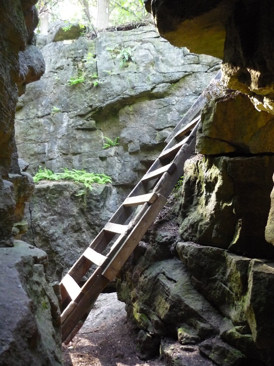
We will hike around the historic Limehouse park and then up the road and into another forest, following the main and side trails and looping back to go up the Hole in the Wall. Expect to see spring wildflowers and hear the birds, as spring is in full view.
Dufferin Hi-Land 60th Anniversary Badge End-to-End Hike #4
https://hikesstaging.brucetrail.org/event/dufferin-hi-land-60th-anniversary-badge-end-to-end-hike-4/Sorry, the registration cut-off time for this hike has been reached.Not a member? Click here to join today!Hosting Club: Dufferin Hi-Land
Category: Special Events
Location (Google Maps): Mono Community Centre, 200m south of Mono Centre (County Road 8). Park in gravel lot.Hike Leader(s): Stuart Law Click here to contact Hike Leader(s)
Pace: Medium
Terrain: Moderate, Slippery Sections Likely
Distance: 15.3 kmsDescription
Join us on the fourth of four hikes to cover the necessary 60 kms of the Dufferin Section in 2025 to earn the coveted Dufferin Hi-Land 60th Anniversary Badge. This is a shuttle hike from 30 Sideroad to Mono Centre. Please be prepared to use your vehicle to transport hikers and please bring a garbage bag for your dirty boots and clean footwear to change into for the ride back to the start. We will leave those things in the cars at the start so you don’t have to carry them on the hike. Please make sure you are wearing comfortable boots and layers for the weather. Please pack bug spray and sunblock. Please bring two litres of water, a snack, a lunch and a smile. Please arrive at 9:30 to be ready to shuttle at 9:45 sharp.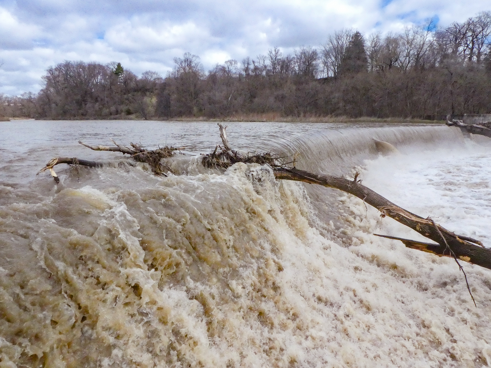
Urban Walk - Toronto Urban Badge Hike - 1 of 7
https://hikesstaging.brucetrail.org/event/urban-walk-toronto-urban-badge-hike-1-of-7-2/Sorry, the registration cut-off time for this hike has been reached.Not a member? Click here to join today!Hosting Club: Toronto
Category: Urban Walk
Location (Google Maps): Humber Recreational TrailHike Leader(s): Brian Rideout Click here to contact Hike Leader(s)
Pace: Moderate (3-4 km/hr)
Terrain: Flat
Distance: 11 kmDescription
Please join me at the south west corner of Finch and Weston by 10 AM. We will hike south on the Humber Recreational Trail to Scarlet and Eglinton (km 30.2 to km 19.2). Here is an online map with km markings of our route for all 7 hikes for the Toronto Urban Badge: https://onthegomap.com/s/c2c1hf3nPlease make sure you bring at least 2 liters of water, a lunch, bug spray and sunscreen.
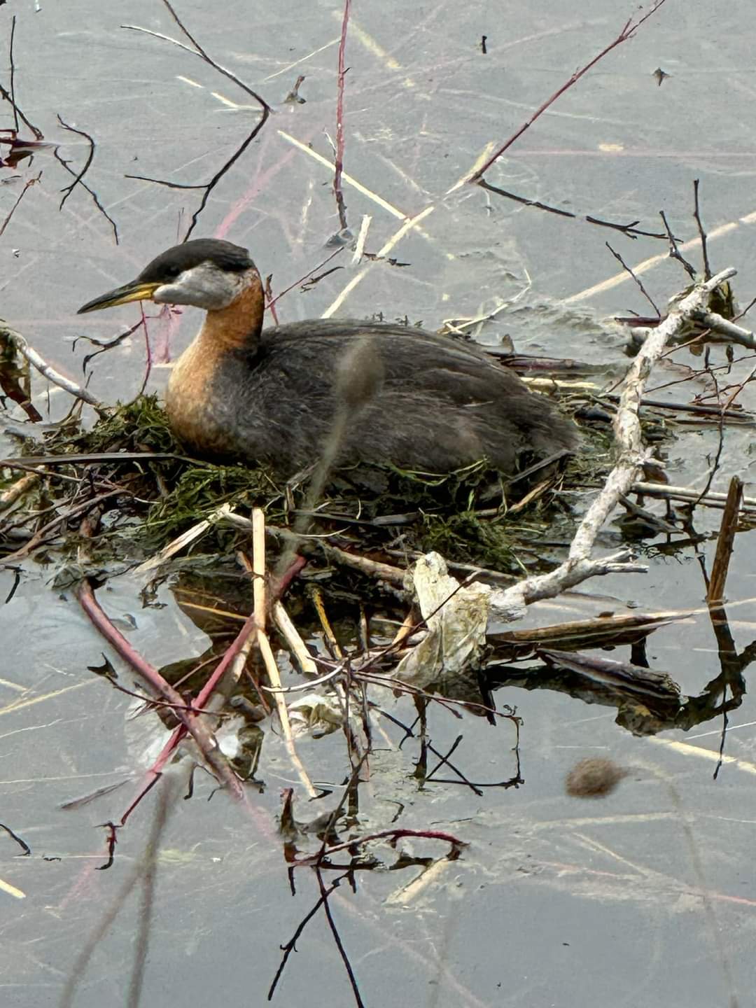
Birding Hike: Colonel Sam Smith Park to the Arsenal Lands
https://hikesstaging.brucetrail.org/event/birding-hike-colonel-sam-smith-park-to-the-arsenal-lands-2/Sorry, the registration cut-off time for this hike has been reached.Not a member? Click here to join today!Hosting Club: Toronto
Category: Urban Walk
Location (Google Maps): Power House Recreation Centre, Colonel Samuel Smith Park Dr. Coming by transit you can take TTC bus# 44 from Kipling Station at 9:21 (scheduled every 9 minutes) to the end. Look for the tall Powerhouse Smokestack. It is about 50 metres from the stop. Coming by car follow Kipling Avenue to Lake Shore Blvd and keep straight. Kipling Avenue becomes Colonel Samuel Smith Park Drive. Follow to the end parking lot which has free parking. On the way you will pass the Powerhouse smokestack on the left. After parking your car walk back to the Powerhouse meetup spot. Please arrive 15 minutes early.Hike Leader(s): Andrew Proczek Click here to contact Hike Leader(s)
Pace: Leisurely (2-3 km/hr), Moderate (3-4 km/hr)
Terrain: Flat
Distance: 10-11 kmDescription
Please join me and foremost local birder, Peter Sproule, for our second annual birding hike through Colonel Sam Smith Park and westward to Marie Curtis Park and the former Arsenal Lands. As promised last year this event is taking place two weeks earlier so that we can get better views of the birds in the yet undeveloped foliage. Peter won’t know exactly what birds are arriving or migrating through until the day before, but we can expect Warblers, Swallows and a variety of shore birds. You can see the birds with the naked eye but a pair of binoculars will certainly enhance your experience.In case you cannot do a lot of walking and you will have your car, you can chose to return to your car when we will be leaving Colonel Sam Smith Park with the option of dropping out or meeting the group at Marie Curtis Park. There is one small park in between but most of the birding will take place at Sam Smith and Marie Curtis Parks including the former Arsenal Lands.
Public washrooms: Ken Cox Community Centre (open from 9 am) opposite the #44 Bus Loop stop; The Powerhouse Recreation Centre will likely be open and there is also a Porta Potty in front; Marie Curtis Park by the boardwalk.

10:00 a.m. Tawse Winery Hike and Private Tasting Experience
https://hikesstaging.brucetrail.org/event/1000-a-m-tawse-winery-hike-and-private-tasting-experience/Sorry, the registration cut-off time for this hike has been reached.Not a member? Click here to join today!Hike open to BTC Members only.
Hosting Club: Niagara
Category: In and Out
Location (Google Maps): Park at Tawse Winery 3955 Cherry Avenue VinelandHike Leader(s): Sam Rutherford Click here to contact Hike Leader(s)
Pace: Medium
Terrain: Moderate
Distance: 6kDescription
We will hike on the main trail from Tawse Winery to the Margaret Reed Side Trail located in Cave Springs Conservation Area and return back to Tawse Winery by 11:30. Upon return we will enjoy a private structured tasting led by one of the knowledgeable and friendly winery staff from 11:30 to 12:00 noon. The cost for the tasting experience is $15.00 per person. You will also enjoy a 20% discount on bottle purchases that day. Please bring your $15.00 with you as I will collect it prior to the tasting to simplify the payment to Tawse Winery. Thank you.Urban Walk: Humber River to High Park
https://hikesstaging.brucetrail.org/event/urban-walk-humber-river-to-high-park-2/Sorry, the registration cut-off time for this hike has been reached.Not a member? Click here to join today!Hosting Club: Toronto
Category: Urban Walk
Location (Google Maps): Meet inside Old Mill Subway StationHike Leader(s): Danny Pivnick Click here to contact Hike Leader(s)
Pace: Moderate (3-4 km/hr)
Terrain: Flat, Level 1 (Easy – mostly on flat, well maintained trails with hard-packed surface)
Distance: 9 kms.Description
Please join us on this wonderful spring hike taking us from Humber River down to Lake Ontario and then up into High Park. See some of Toronto’s true highlights and hopefully as well the beautiful Cherry Blossoms inside High Park. Do note that the start point and end point of the hike will not be the same, and thus plan accordingly.