
Hike Schedule
Join us for a hike! Registration required.
All hikes available to BTC members. Some hikes are open to non-members.
See Refund Policy for Paid Hikes >
TIP: The calendar view displays up to 7 hikes on a day, but often there are more. Click “View more events” to see them all.
Categories
- 06February 6, 2025

Frosty Five Blues Series 4/5
https://hikesstaging.brucetrail.org/event/frosty-five-blues-series-4-5/Sorry, the registration cut-off time for this hike has been reached.Not a member? Click here to join today!Hosting Club: Caledon Hills
Category: General
Location (Google Maps): Meet at the BTC parking lot located off 7th Line immediately east of Airport Road. 43.960477, -79.979773 (Map 18, Edition 31)Directions: From Airport Rd/Peel Regional Rd 7 turn east onto 7 Line E/7 Line EHS. Drive for 60 metres.
Hike Leader(s): Sandy Green Click here to contact Hike Leader(s)
Pace: Medium – 3 to 4 km/hour
Terrain: Strenuous – hilly with steep climbs and some poor footing
Distance: 10 kilometresDescription
Beat the winter blues! Register individually for one, a few, or all of the Frosty Five Blues hikes. Participants who complete all five hikes are eligible to receive a CHBTC Winter badge and new Sideways badge on the final hike. Hike 4 explores parts of the main Trail and Harmony, Hockleycrest, and Darcy’s Side Trails in the south-east Hockley Valley area. Bring your choice of hydration and snacks. Hiking boots and icers/crampons are required. See Jan. 9, 23, 30, & Feb. 13 for details pertaining to the other hikes in the series. (Note: If you wish to purchase badges, the cost of each badge is $10.00 for BTC members and $15.00 for non-members.)Urban Walk: Valley View Park Thornhill
https://hikesstaging.brucetrail.org/event/urban-walk-valley-view-park-thornhill-53/Sorry, the registration cut-off time for this hike has been reached.Not a member? Click here to join today!Hosting Club: Toronto
Location (Google Maps): Parking lot is inside Sycamore Drive East of Bayview , north of Bayview Reservoir Park Playground
Hike Leader(s): Mohammad Aghamiri Click here to contact Hike Leader(s)
Pace: Moderate (3-4 km/hr)
Terrain: Level 2 (Intermediate – some hills and uneven surfaces, rocks and roots underfoot)
Distance: 7-8 kmDescription
We will explore Valleyview and Maple View parks, and walk along German Mill Creak,In return we stop in Huntington park and have snack under beautiful shed ,Even it is considered Urban walk, but it is urban hike as we have some up and down hills and tree roots, please bring your Ice cleats and hiking poles
CANCELLED 9:00 am Long Hike Cave Spring
https://hikesstaging.brucetrail.org/event/900-am-long-hike-cave-spring/Sorry, the registration cut-off time for this hike has been reached.Not a member? Click here to join today!Hosting Club: Niagara
Category: Cancelled
Location (Google Maps):Cave Spring Conservation Area
Hike Leader(s): Alan Laver Click here to contact Hike Leader(s)
Pace: Medium
Terrain: Moderate
Distance: 10kDescription
From Cave Spring Conservation Area explore the trail network on the escarpment You must register for each hike. Bring Poles, snack and a drink and dress for the weatherHiking Around Jordan
https://hikesstaging.brucetrail.org/event/hiking-around-jordan-21/Sorry, the registration cut-off time for this hike has been reached.Not a member? Click here to join today!Hosting Club: Niagara
Location (Google Maps): Shoarishon Park (formerly known as Jordan Hollow)
Hike Leader(s): Bill Russell Click here to contact Hike Leader(s)
Pace: Medium
Terrain: Moderate
Distance: 7 kmDescription
Hike various trails in Jordan (Balls Falls, Jim Rainforth Trail and Bailey Bridge through the village of Jordan)
Grindstone Creek and Clappison Woods via Hidden Valley
https://hikesstaging.brucetrail.org/event/grindstone-creek-and-clappison-woods-via-hidden-valley-2/Sorry, the registration cut-off time for this hike has been reached.Not a member? Click here to join today!Hike open to BTC Members only.
Hosting Club: Iroquoia
Category: General Hike
Location (Google Maps): Grindstone Creek and Clappison Woods via Hidden Valley RoadHike Leader(s): Victoria Best Click here to contact Hike Leader(s)
Pace: Medium – 3 to 4 km/hr
Terrain: Strenuous – Hilly with steep climbs and some poor footing
Distance: 10kmDescription
Meet in the parking lot next to the Hidden Valley Park Washrooms at 9:45 for a 10:00 am start.
This is a 10 km loop hike. Hike distance will be reduced if hiking conditions are poor. Dress appropriately for the weather and for slippery trail conditions. Bring food and water, hiking boots, and icers.
We begin the hike by walking in a north westerly direction along Grindstone Creek on Hidden Valley Road.
We hike local trails along the east side of Grindstone Creek and then cross Grindstone Creek when we join the BTC main trail.
The hike will take us through Clappison (Black) Woods and ends with a walk along Lemonville Road back to our cars. - 07February 7, 2025
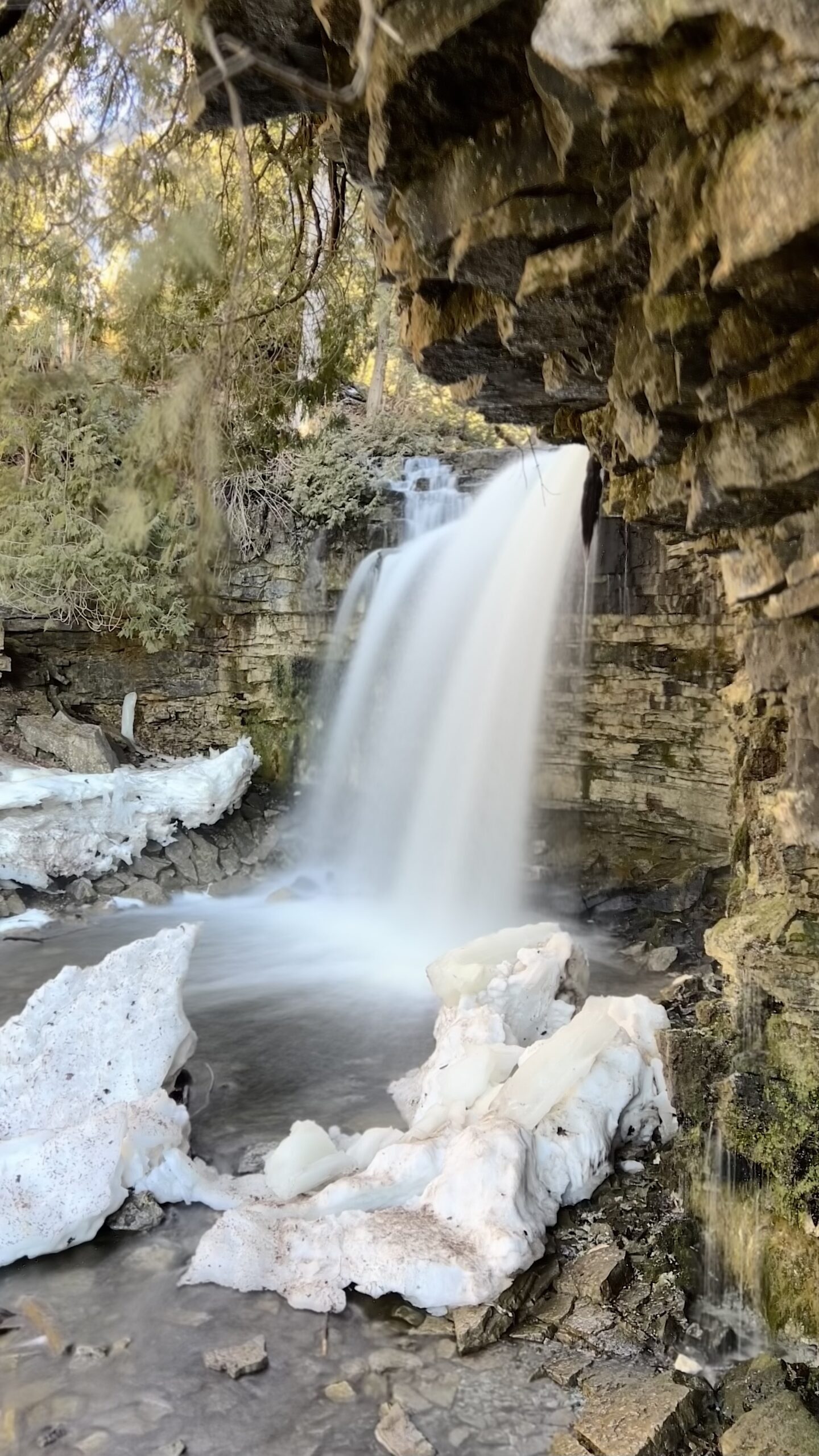
Winterloops #3 - Hilton Falls Conservation Area
https://hikesstaging.brucetrail.org/event/winterloops-3-hilton-falls-conservation-area/Sorry, the registration cut-off time for this hike has been reached.Not a member? Click here to join today!Hosting Club: Iroquoia
Category: General Hike
Location (Google Maps): Hilton Falls Conservation Area – Reservations RequiredHike Leader(s): Pati Greenwood, Jeff Dowsett Click here to contact Hike Leader(s)
Pace: Medium – 3 to 4 km/hr
Terrain: Moderate – Some hills and/or some poor footing, Slippery Sections Likely
Distance: 12 kmDescription
This is a series of five winter loop hikes. Join us for one, some or all.This hike will explore Hilton Falls Conservation Area on the Hilton Falls Side Trail and Conservation Area trails. Bring water and snacks. Wear layers for winter conditions, bring icers and hiking poles.
Park in Hilton Falls Conservation Area parking lot, accessible from Campbellville Road. Reservations are required. For further information see Conservation Halton web site: https://www.conservationhalton.ca/parks/hilton-falls/
Please arrive by 8:15 am as we will depart promptly at 8:30 am.
9:00 Queenston Heights loop
https://hikesstaging.brucetrail.org/event/900-queenston-heights-loop-2/Sorry, the registration cut-off time for this hike has been reached.Not a member? Click here to join today!Hosting Club: Niagara
Category: Loop
Location (Google Maps): Queenston main trail – meet at Locust groveHike Leader(s): Heather Howkins Click here to contact Hike Leader(s)
Pace: Medium
Terrain: Moderate
Distance: 8kDescription
Loop hike around Queenston Heights on the main trail and side trails.Please bring poles, icers and snacks.
We will be going to the Grist after the hike for lunch for those that are interested.
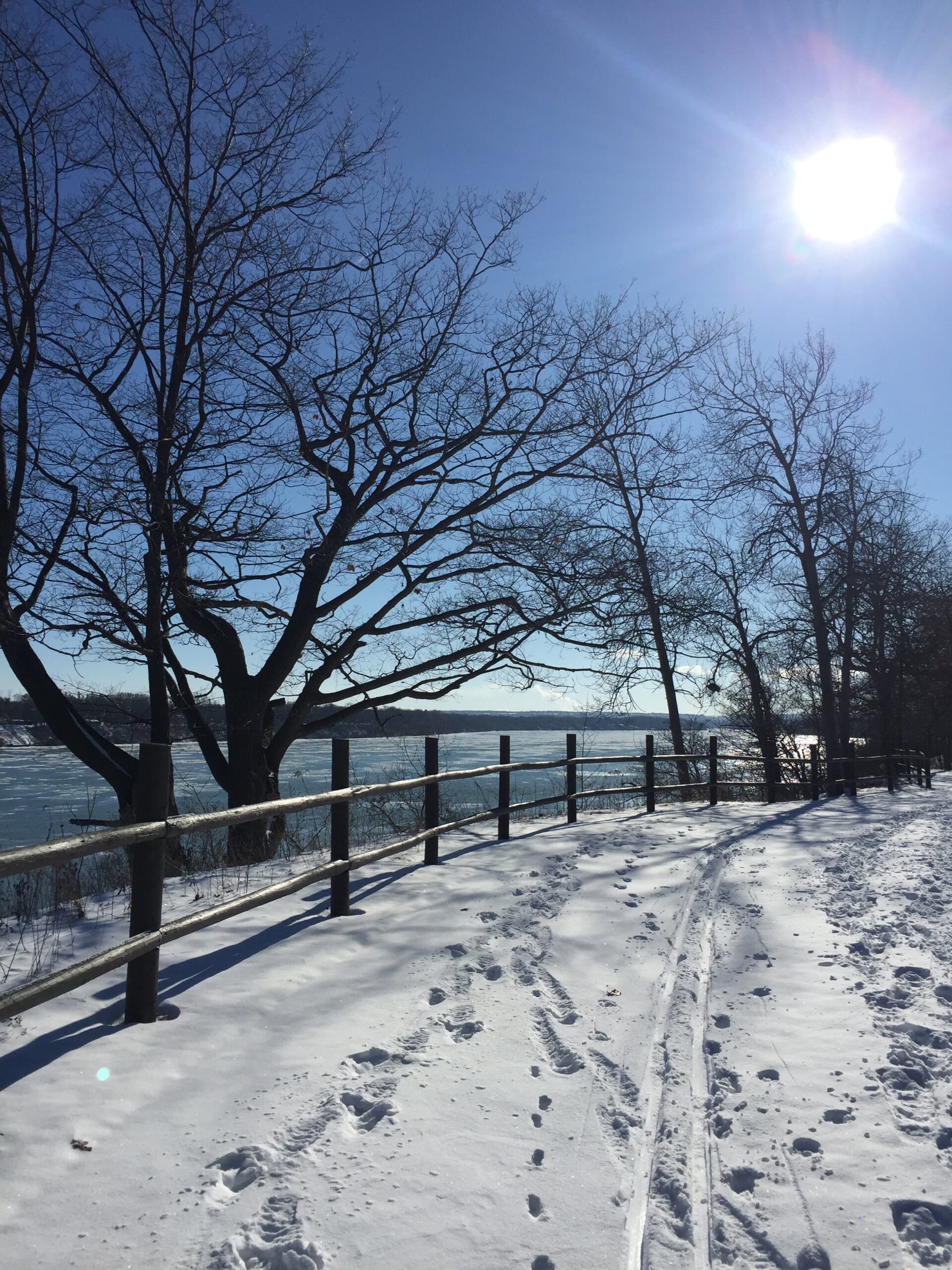
9:00 am Niagara-on-the-Lake Tour
https://hikesstaging.brucetrail.org/event/900-am-niagara-on-the-lake-tour-29/Sorry, the registration cut-off time for this hike has been reached.Not a member? Click here to join today!Hosting Club: Niagara
Category: Urban
Location (Google Maps):Veterans Memorial Park, park just outside the park on King Street
Hike Leader(s): Robin Garrett Click here to contact Hike Leader(s)
Pace: Medium
Terrain: Easy
Distance: 6-7 kmDescription
Each Friday we will explore different neighbourhoods, trails and parkland throughout Historic Niagara-on-the-Lake.Moderate pace with some weeks entirely on sidewalks and roads while others may include a mix of trails and paved pathways. Great way to build up endurance for longer more strenuous hikes.
Prepare for cooler windy conditions on open parkland and along Lake Ontario and Niagara River trails.
Plan to stay for conversation and a warm cup of coffee or tea at Sweets & Swirls, Community Centre, Niagara Stone Road, NOTL
- 08February 8, 2025
Coach Trip: Arrowhead Provincial Park
https://hikesstaging.brucetrail.org/event/coach-trip-arrowhead-provincial-park-2/Sorry, the registration cut-off time for this hike has been reached.Not a member? Click here to join today!Trip Information
Departure Time: 08:00
Return to City Time: 18:45
Departure Point: York Mills Bus PickupTrip Activities
Ski ($0.01)
Winter hike ($0.01)
Optional Items
Pick up at HWY 400 and Major Mac ($0.01)Hosting Club: Toronto
Category: Coach Trips
Location (Google Maps): Arrowhead Provincial ParkHike Leader(s): Martina Furrer, Leila Damband, Robin Crombie, Tim Wainwright Click here to contact Hike Leader(s)
Pace: Moderate (3-4 km/hr)
Terrain: Level 2 (Intermediate – some hills and uneven surfaces, rocks and roots underfoot), VariableDescription
No trail fees at Arrowhead. Registration cost includes park admission.Bus departs 10 York Mills Rd at 8 AM and HWY 400 and Major Mackenzie Dr Park and Ride at 8:20 AM. If you wish to be picked up at HWY 400 and Major Mac, select that option when you register. Please arrive 15 minutes before departure.
Join us for an awesome day of winter fun in Arrowhead Provincial Park. For information about trail conditions visit: https://www.ontarioparks.com/snowreport/detail/arrowhead. For information about the park visit: https://www.ontarioparks.com/park/arrowhead.
Join Duro and Leila for a fun guided hike, or enjoy self-guided skiing on trails groomed for classic and skate skiing. After skiing or snowshoeing spend some time ice skating (if open) in the forest.
Ski, skate and snowshoe rentals available.
There are no food services in the park. Pack water/tea and lunch.
We will leave the park at 4 PM. Bring a snack (finger food) to share on the bus ride home.
Policy for running this trip: To run this trip we need 40 registrants 8 days in advance. We may cancel the trip on short notice if there is substantial risk of trail or resort closure due to major weather warnings. If there is enough snow to ski and conditions are marginal or better, we will go. Marginal conditions mean not ideal skiing conditions. For example, wet snow, a thin bumpy base, or some icy patches. If TBTC cancels the trip, we will refund your coach fare. No refund if you cancel.
Car Hike: East Point Park Bird Sanctuary, Scarborough, ON
https://hikesstaging.brucetrail.org/event/car-hike-east-point-park-bird-sanctuary-scarborough-on/Sorry, the registration cut-off time for this hike has been reached.Not a member? Click here to join today!Hosting Club: Toronto
Category: Car Hike
Location (Google Maps): East Point Park Bird Sanctuary, Scarborough, ON
parking lot at the end of Beech grove Dr.Hike Leader(s): Mohammad Aghamiri Click here to contact Hike Leader(s)
Pace: Moderate (3-4 km/hr)
Terrain: Flat
Distance: 12-14kmDescription
We will hike along lake Ontario to Scarborough Bluffs.Please bring hiking poles, proper closing and shoes and lots of smile,
Car Hike: Mono Cliffs Provincial Park
https://hikesstaging.brucetrail.org/event/car-hike-mono-cliffs-provincial-park-4/Sorry, the registration cut-off time for this hike has been reached.Not a member? Click here to join today!Hosting Club: Caledon Hills
Category: General
Location (Google Maps): Mono Cliffs Provincial Park, Map 19. To reach the meeting place, drive north on Hwy 10 past Orangeville. Continue to Mono Centre Road (crossroad name is Camilla). Turn right and follow this road into Mono Centre. The Community Centre parking lot is on your right, about 200 meters before you reach the crossroads.Hike Leader(s): Dylan Hubbard Click here to contact Hike Leader(s)
Pace: Medium – 3 to 4 km/hour
Terrain: Moderate – some hills and/or some poor footing
Distance: 14 kmDescription
Join us for a delightful loop hike through the Provincial Park, we will be hiking to McCarston’s Lake and looping back down through the side trails. This route is mostly flat with a few small hills at the start, making it an easy and enjoyable hike for everyone. Please dress accordingly and have your icers ready.This hike is a 2SLGBTQIA+ friendly space. Everyone is welcome to join, enjoy the trail, and share in the beauty of the Provincial Park!
DISCLAIMER:
Thank you for joining my hike! Please note that trail conditions can vary, and I may not always have the ability to prehike the route beforehand. Gear like snowshoes, spikes, or poles may be helpful depending on conditions, so please plan accordingly. As a volunteer leader, I do my best to select enjoyable routes, but preferences vary, and participation is at your own risk. Be prepared, flexible, and ready to enjoy the day—your feedback is always welcome in a constructive way to help improve future hikes. Let’s make it a great adventure together!

International Hike
https://hikesstaging.brucetrail.org/event/international-hike/Sorry, the registration cut-off time for this hike has been reached.Not a member? Click here to join today!Hosting Club: Niagara
Category: Urban
Location (Google Maps): Meet at the Floral Showhouse (greenhouses), just south of the Falls, Niagara Parkway, Niagara FallsHike Leader(s): Margaret Northfield Click here to contact Hike Leader(s)
Pace: Medium
Terrain: Easy
Distance: 13-14kmDescription
Park in the Floral Showhouse, Niagara Parkway (paid parking – check out the annual pass)We will be hiking around both sides of the border to view the Falls from all angles. Bring passport/nexus to cross the Rainbow Bridge. $1 Can fee to cross.
Light icers may be helpful along part of the route. Mostly paved pathways.
We can never predict the amount of time to go through customs, please allow plenty of time for the hike.

9:00 NOTL BLACK HISTORY SERIES - #2 of 4: Richard Pierpoint and The Coloured Corps
https://hikesstaging.brucetrail.org/event/900-notl-black-history-series-2-of-4-richard-pierpoint-and-the-coloured-corps-2/Sorry, the registration cut-off time for this hike has been reached.Not a member? Click here to join today!Hike open to BTC Members only.
Hosting Club: Niagara
Category: Urban
Location (Google Maps):Veteran’s Memorial Park. Park on King St. at Centre
Hike Leader(s): Karen Couch Click here to contact Hike Leader(s)
Pace: Medium
Terrain: Easy
Distance: 6 kmDescription
Since 1995, the government in has Canada officially recognized February as Black History Month; a time when Canadians are invited to reflect, educate and engage in the ongoing fight against anti-Black racism and discrimination. You will find out about some of those who fought enslavement, and how they were pivotal in shaping our society to be as diverse as it is today. Complete 3 of 4 hikes for the Black History badge.Watch a short video by Historica Canada about Richard Pierpoint’s life by opening the link below.
https://youtu.be/UQyPXOHvwEc?si=2ZPGIHDrybxv11f
*We will be stopping several times. Dress for the weather. Hiking poles and icers are recommended. Expect hike to take 1.5-2 hours.
Hike 3 of 4 hikes in this series for the Black History badge.
PLEASE NOTE: Hikes are offered by volunteers who have committed to their own learning to be able to offer informative and contemplative hike experiences. These hikes are opened to all and offered in a spirit of mutual learning and inclusion.
Snowshoe Two BTC Properties
https://hikesstaging.brucetrail.org/event/snowshoe-two-btc-properties/Sorry, the registration cut-off time for this hike has been reached.Not a member? Click here to join today!Hosting Club: Blue Mountains
Category: Organized Hike
Location (Google Maps): Tim Hortons, First Street, CollingwoodHike Leader(s): Richard Edwards Click here to contact Hike Leader(s)
Pace: Medium – 3 to 4 km/hr
Terrain: Moderate – Some hills and/or some poor footing
Distance: 5 kmDescription
We will carpool from C’wood to 6.1, map 21 and park on the north side of cty. rd. 9 . We will climb north beside the Gardner Property’s beautiful meadow ecosystem to an agricultural field on the scarp-top . We will then descend via a wooded area to con. 10 and enter the Dunedin Valley Nature Reserve where the trail encounters a pleasant mix of secondary forest, meadow, stream-side habitat, and mature forest . We will then retrace our route through the Gardner property back to our cars. Cty rd. 9, west of Dunedin, map 21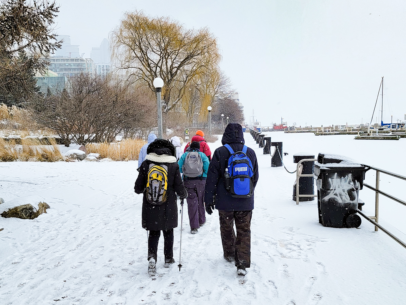
Urban Walk: Waterfront Trail 5/11 – Bathurst
https://hikesstaging.brucetrail.org/event/urban-walk-waterfront-trail-5-11-bathurst-2/Sorry, the registration cut-off time for this hike has been reached.Not a member? Click here to join today!Hosting Club: Toronto
Category: Urban Walk
Location (Google Maps): CanadaHike Leader(s): Brian Rideout Click here to contact Hike Leader(s)
Pace: Moderate (3-4 km/hr)
Terrain: Flat
Distance: 9.4 kmDescription
Please join me at Bathurst Station no later than 9:25 am. We will take the streetcar southbound departing 9:40 am, arriving at Fleet St 10:00 am. If you want to meet us at Bathurst and Fleet, be there by 10:00 am. We start hiking at 10:00 am.We will hike to the lake and east to Leslie St. The estimated distance is 9.4 km. Here is an online map of our route Bathurst to Leslie
Bring a snack, at least 2 liters of water, and icers. Dress for cold weather.
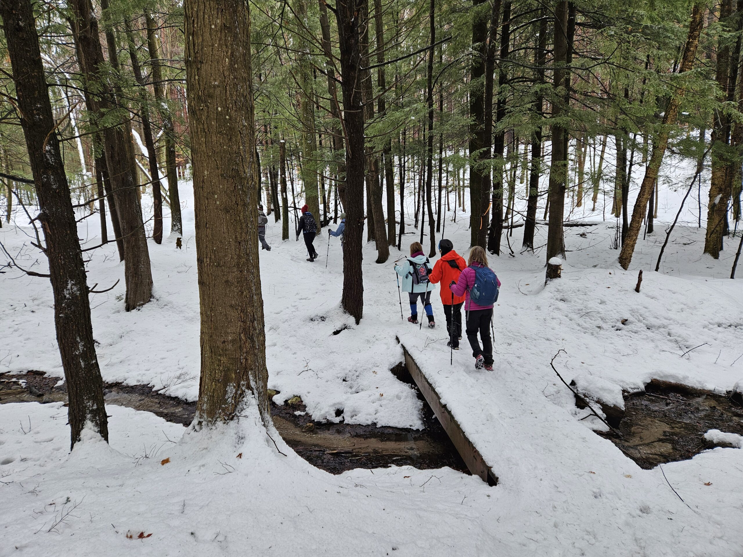
Saturday Shorts: Glen Haffy
https://hikesstaging.brucetrail.org/event/saturday-shorts-glen-haffy-3/Sorry, the registration cut-off time for this hike has been reached.Not a member? Click here to join today!Hike open to BTC Members only.
Hosting Club: Caledon Hills
Category: General
Location (Google Maps): Meet at 10 am at the roadside parking on Coolihans Sideroad, km 35.0 Map 17, near where the Trail crosses the road. This is just west of the intersection of Glen Haffy Road and Coolihans Sideroad. It is best to aim for arriving around 9:45, so we can start hiking as close to 10 am as possible. Thanks!Hike Leader(s): Dan Revington, Elizabeth Ganong Click here to contact Hike Leader(s)
Pace: Medium – 3 to 4 km/hour
Terrain: Moderate – some hills and/or some poor footing
Distance: Under 4 kmDescription
Looking to get out on a Saturday but not give up your whole day? Saturday Shorts, a hiking series, will get you out in a small group on a short hike. This Saturday’s hike is at Glen Haffy. We’ll hike the main Bruce Trail and Glen Haffy’s red loop, which makes a route under 4 km. Be prepared for winter conditions by bringing warm gear, poles, and icers. You are encouraged to bring water and a snack. No dogs please.The hike leader for this hike is Dan Revington. Registrants can expect a reminder/update message from Dan one or two days before the hike.
If desired, this hike may be used towards the Caledon Winter Hiking Badge (5 winter hikes in the Caledon section that are 1 ½ hours or longer in length). Please keep a log of your hikes and follow the directions on the CHBTC website under Club Badges to receive your badge.
Winter Badge Series Hike #4 of 4
https://hikesstaging.brucetrail.org/event/winter-badge-series-hike-4-of-4/Sorry, the registration cut-off time for this hike has been reached.Not a member? Click here to join today!Hosting Club: Dufferin Hi-Land
Category: General Hike
Location (Google Maps): Map 19 Km 6.0. 715142 1st Line EHS, Mono, ON L9W 5T7.Hike Leader(s): Bryan and Carol Foley Click here to contact Hike Leader(s)
Pace: Leisurely
Terrain: Moderate
Distance: 8kmDescription
Meet 6:30 pm PROMPT ! WE WILL NOT WAIT FOR LATECOMERS ! Please arrive 6:15 pm Parking is limited , please park close to one another, Mind the Ditches ! We explore Mono Cliffs Park under a full moon as it can only be explored in winter. Bring Water, Snack, Headlamp ( flashlight ) Dress according to the weather. Snow Shoes and/or Icers may be required. Contact hike leader if in doubt. - 09February 9, 2025
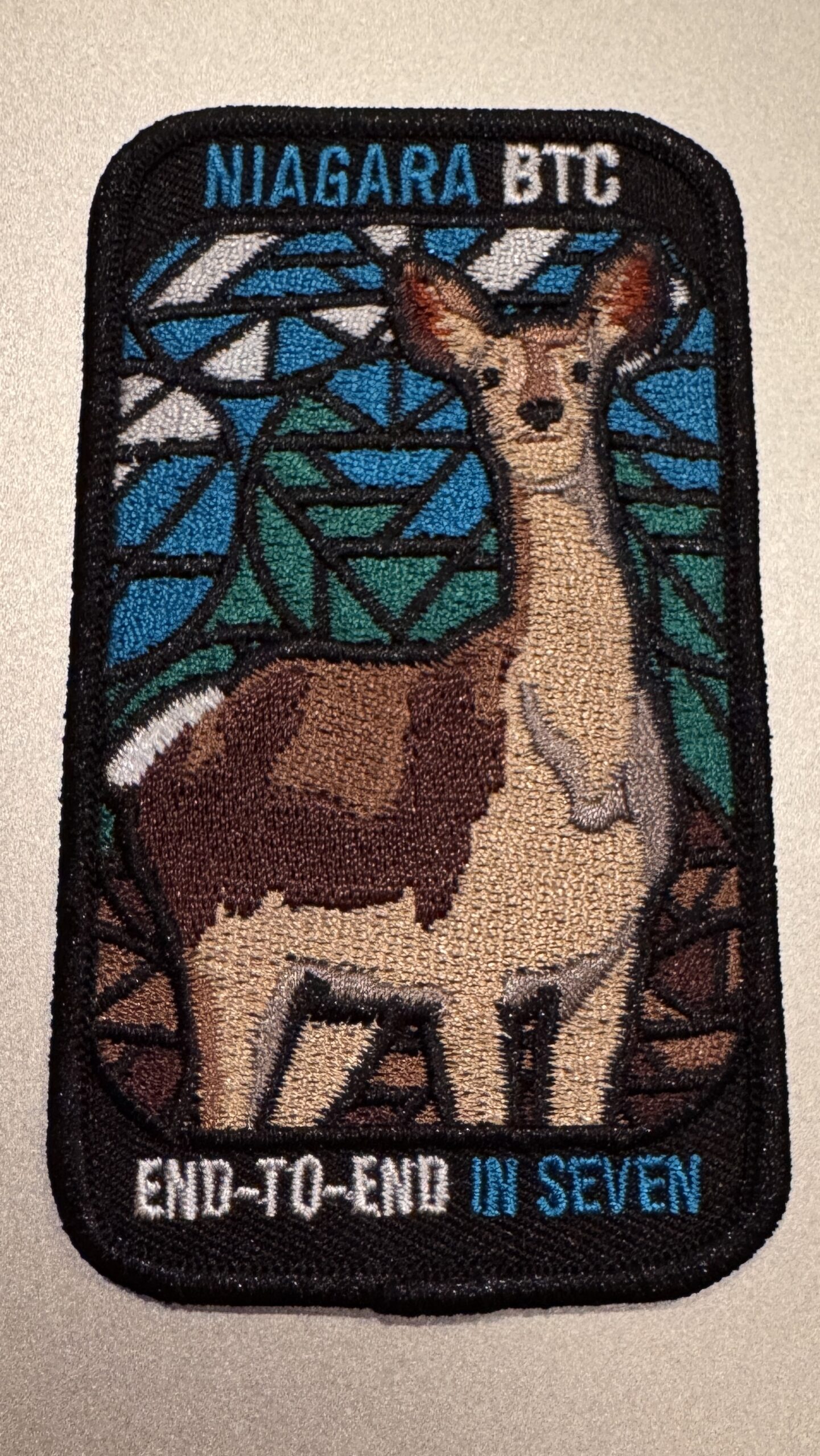
Niagara E2E in 5 - Stained-Glass Fundraiser Badge
https://hikesstaging.brucetrail.org/event/niagara-e2e-in-5-stained-glass-fundraiser-badge/Sorry, the registration cut-off time for this hike has been reached.Not a member? Click here to join today!This is a Multi-Day Hike
You are signing up for the following dates and times:
2025-02-09 at 09:00
2025-02-16 at
2025-02-23 at
2025-03-02 at
2025-03-09 atHosting Club: Niagara, Iroquoia
Category: Stained Glass Badge End to End Fundraiser Hike
Location (Google Maps):Woodend Conservation Area is our first meeting spot.
Hike Leader(s): Anita Bergsma Click here to contact Hike Leader(s)
Pace: Medium – 3 to 4 km/hr
Terrain: Moderate – Some hills and/or some poor footing
Distance: Varies but around 16km per outingDescription
Join us in earning a Niagara End 2 End Badge starting on February 9th, 2025 for a series of 5 hikes. Each hike will be approximately 16 kms at a moderate pace. This is suitable for intermediate to advanced hikers.We will be using hiker’s vehicles to shuttle between our start and end point for each hike.
Proper hiking boots and icers are a must! Bring hiking poles, food/snacks, water, hat, and rainwinter gear.
Arrive at 9:00am for roll call/check in/drive to the starting point. Hike will start at 9:30 am sharp
It is important to complete each section within a time frame to consider the shorter days.
Hikers will receive their Stain Glass End to End badge upon completion.
If you must miss a day but can make it up before the last scheduled hike, you will still qualify for the badge.
Please, no children/dogs. All logistics/scheduling/start/stop and parking (shared cost if there is a fee)and a hike leader to guide you, is included.
Planed routes, gps co-ordinates and parking information to be posted closer to hike time.
——————————————————————————–
Day 1: Queenston Heights to Woodend Conservation Area (16 KM)
Day 2 Woodend Conservation area to Decew House (16 KM)
Day 3 Decew House to Rockway (16 KM)
Day 4 Rockway to Margaret Reed Side Trail Parking (18.7 KM)
Day 5 Margaret Reed Parking to Grimsby Terminus (17 KM)
Peninsula Blue Series: Forty Hills Side Trails Loop Hike
https://hikesstaging.brucetrail.org/event/peninsula-blue-series-forty-hills-side-trails-loop-hike/Sorry, the registration cut-off time for this hike has been reached.Not a member? Click here to join today!Hosting Club: Peninsula
Category: Winter Hikes
Location (Google Maps):Hike Leader(s): Saabir Sohrab, Shawn Radcliffe Click here to contact Hike Leader(s)
Pace: Medium (3.0 – 4.5 km/h): A comfortable pace for most hikers with steady progress.
Terrain: Difficult: Steep ascents/descents, rocky scrambling, and some rugged escarpment paths., Moderate: Rolling hills, mild slopes and rocky paths.
Distance: ~11kmDescription
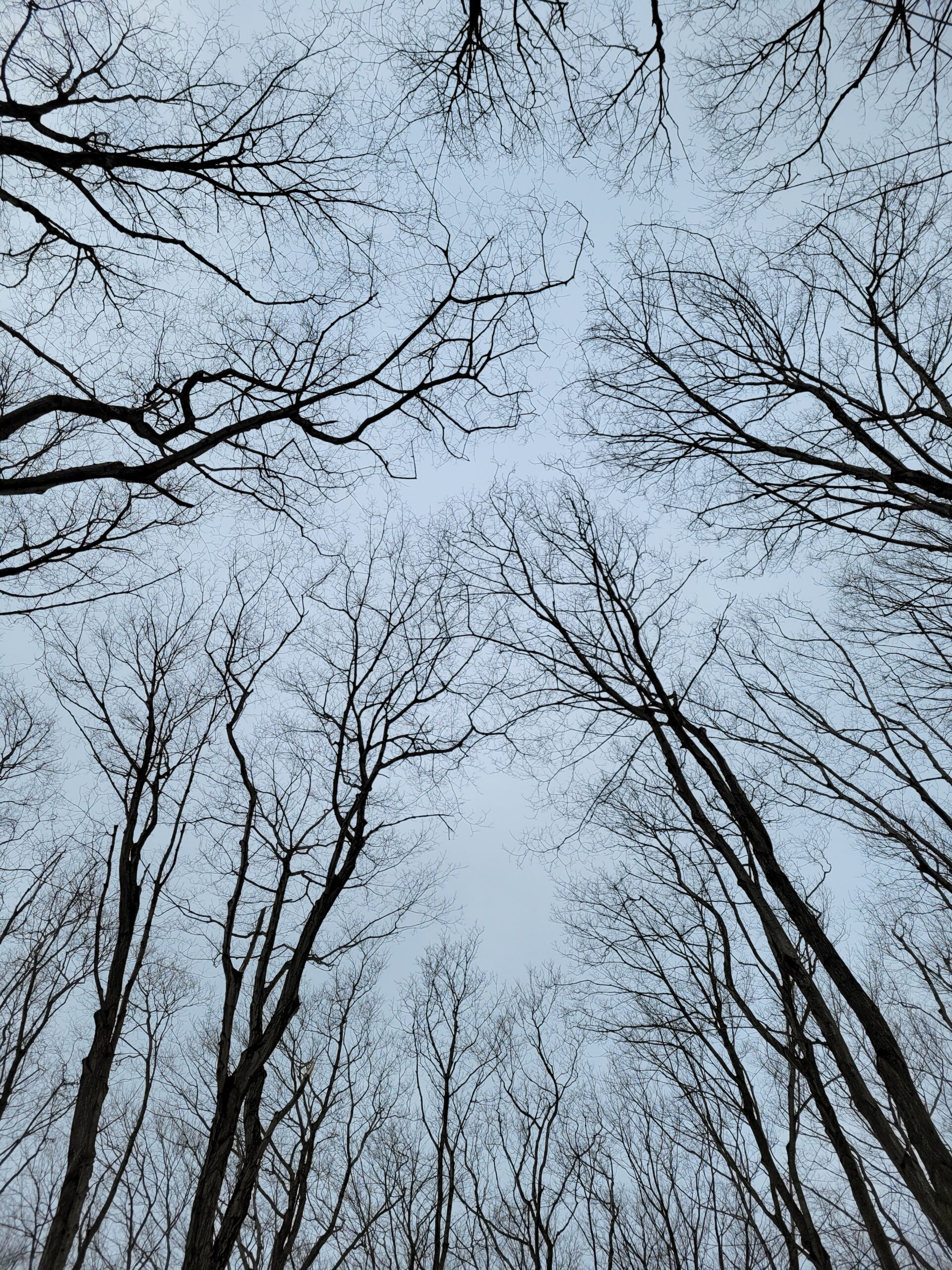
Join us for an exciting loop hike through the Forty Hills area on the Bruce Trail, covering seven side trails and showcasing the natural beauty of the Niagara Escarpment in winter. This hike will feature scenic views, rugged terrain, and quiet forest paths—perfect for those looking to explore the winter wonderland of the Escarpment.Side Trails We Will Be Hiking:
Richardson Side Trail – A peaceful start through a forested section.
Whippoorwill Side Trail – Serene, wooded path named after the whip-poor-will bird.
Walter Brewer Side Trail – Offers elevated views and rocky terrain.
David Blasing Side Trail – A more challenging trail with rock outcrops and gorges.
Reeds Dump Side Trail – A quiet section with a beautiful winter forest landscape.
Alan Fowler Side Trail – Rocky ridges and panoramic views of the surrounding area.
White Bluffs Side Trail – Dramatic limestone cliffs and views over Georgian Bay.Winter Hiking Tips:
Wear appropriate winter footwear and traction devices (e.g., microspikes) for icy conditions.
Dress in layers to adjust to changing temperatures throughout the day.
Bring plenty of water, snacks, and a camera to capture the stunning scenery.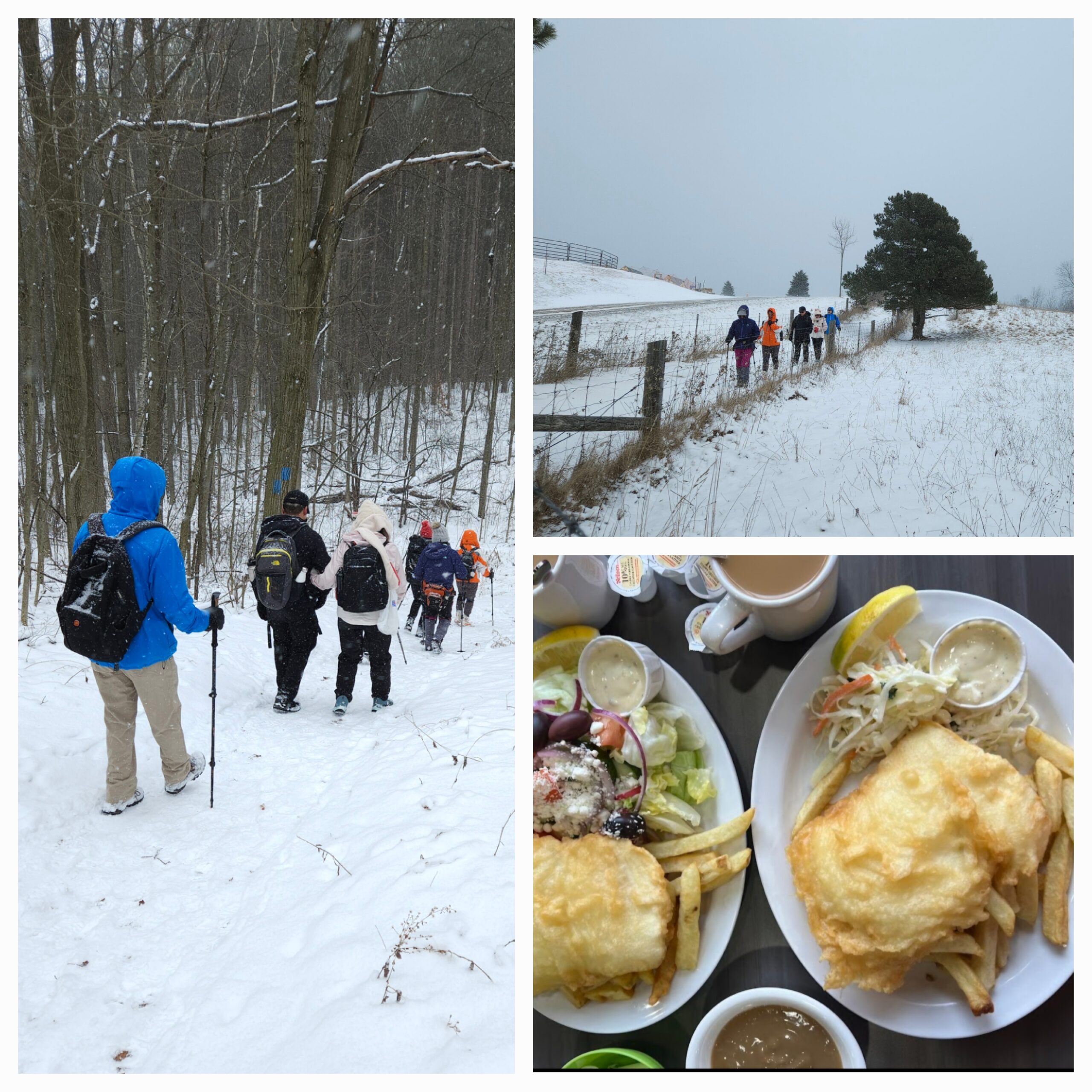
Car Hike: Oak Ridges Trail 15KM + Fish & Chips
https://hikesstaging.brucetrail.org/event/car-hike-oak-ridges-trail-15km-fish-chips/Sorry, the registration cut-off time for this hike has been reached.Not a member? Click here to join today!Hosting Club: Toronto
Category: Car Hike
Location (Google Maps): Rouge Park, Glasgow Area Parking LotHike Leader(s): Alina Lin
Pace: Brisk (4-5 km/hr)
Terrain: Challenging, Hilly, Level 2 (Intermediate – some hills and uneven surfaces, rocks and roots underfoot)
Distance: 15KMDescription
Meet at the parking lot southeast of the Webb Rd @ Concession Rd 2, GPS ( 43.991641, -79.203363) . Please arrive before 9:15 am to get yourself ready.We will leave the parking lot at 9:30am, hike along Oak Ridges Side and main Trails to Secord Lake, and then return, map FYI: https://onthegomap.com/s/7l4t9dua.
After hike, you are welcome to join the group for refreshments at Joy’s Fish & Chips ( 6728 Main St, Whitchurch-Stouffville, ON L4A 7W5).
Notes for your attention:
- Bring icers/crampons/microspikes as the trails are likely covered by hard snow or ice.
- Wear clothing in layers for the weather.
- Bring hot beverage and snacks.
- No dogs/pets.
Changed - Hilton Falls snowshoe hike
https://hikesstaging.brucetrail.org/event/crawford-lake-to-kilbride-e2e-linear-hike/Sorry, the registration cut-off time for this hike has been reached.Not a member? Click here to join today!Hosting Club: Iroquoia
Category: General Hike
Location (Google Maps): Meet in the main parking lot at Hilton Falls.Hike Leader(s): Karen Bergmann Click here to contact Hike Leader(s)
Pace: Medium – 3 to 4 km/hr
Terrain: Moderate – Some hills and/or some poor footing
Distance: 7 kmsDescription
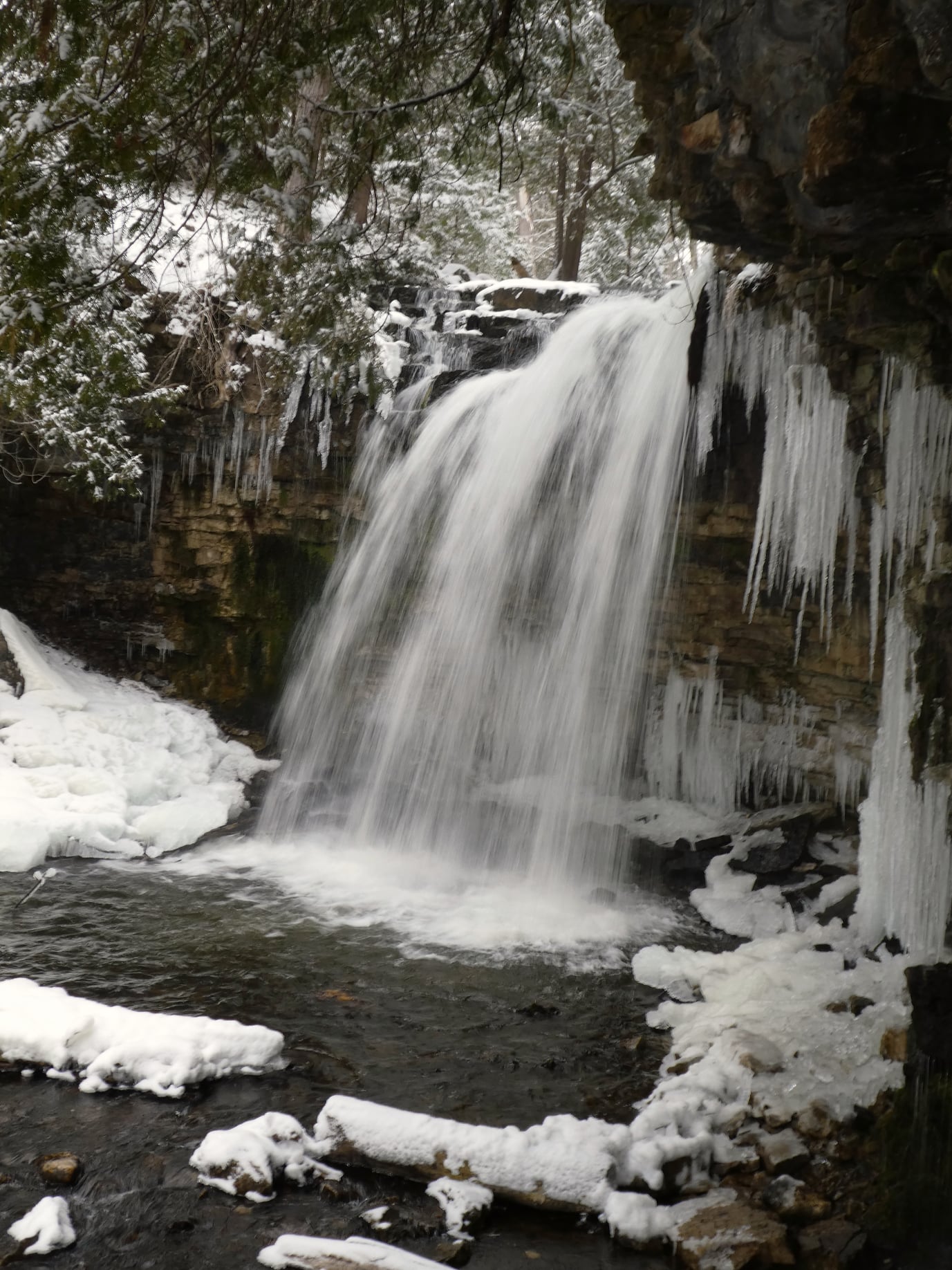
We will meet at 9:15 am in the parking lot at Hilton Falls. With the expected snow, I expect we will snowshoe, but you don’t need to snowshoe. You are welcome to just hike. Please bring icers for your boots and poles are recommended. Hike is dependent on weather conditions.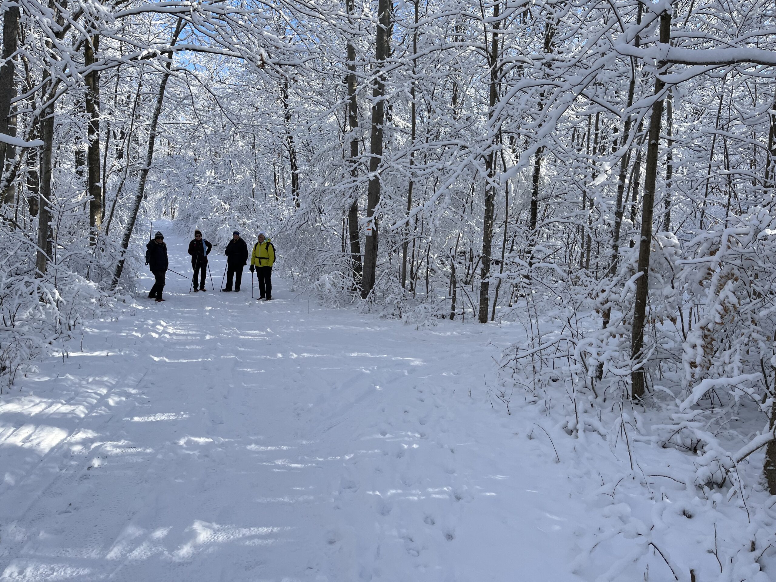
To The Lake and Back CANCELLED
https://hikesstaging.brucetrail.org/event/to-the-lake-and-back/Sorry, the registration cut-off time for this hike has been reached.Not a member? Click here to join today!Hosting Club: Iroquoia
Category: Easy Does It Hikes
Location (Google Maps): Oakville, Maplegrove PlazaHike Leader(s): Anne Armstrong Click here to contact Hike Leader(s)
Pace: Leisurely – 3km/hr or less
Terrain: Dependent on Conditions, Easy – Mostly flat and usually good footing
Distance: Approx 9 km.Description
Please join us for this easy, semi urban walk along Joshua Creek in southeast Oakville. Please meet at 9:45 am. in the Maplegrove Plaza, (corner of Cornwall Road and Maplegrove Rd.) near the Rexall Drug Store. We will follow Joshua Creek down to Lake Ontario and back. Bring water, a snack and icers in case of snowy, icy trails.
Leader: Anne Armstrong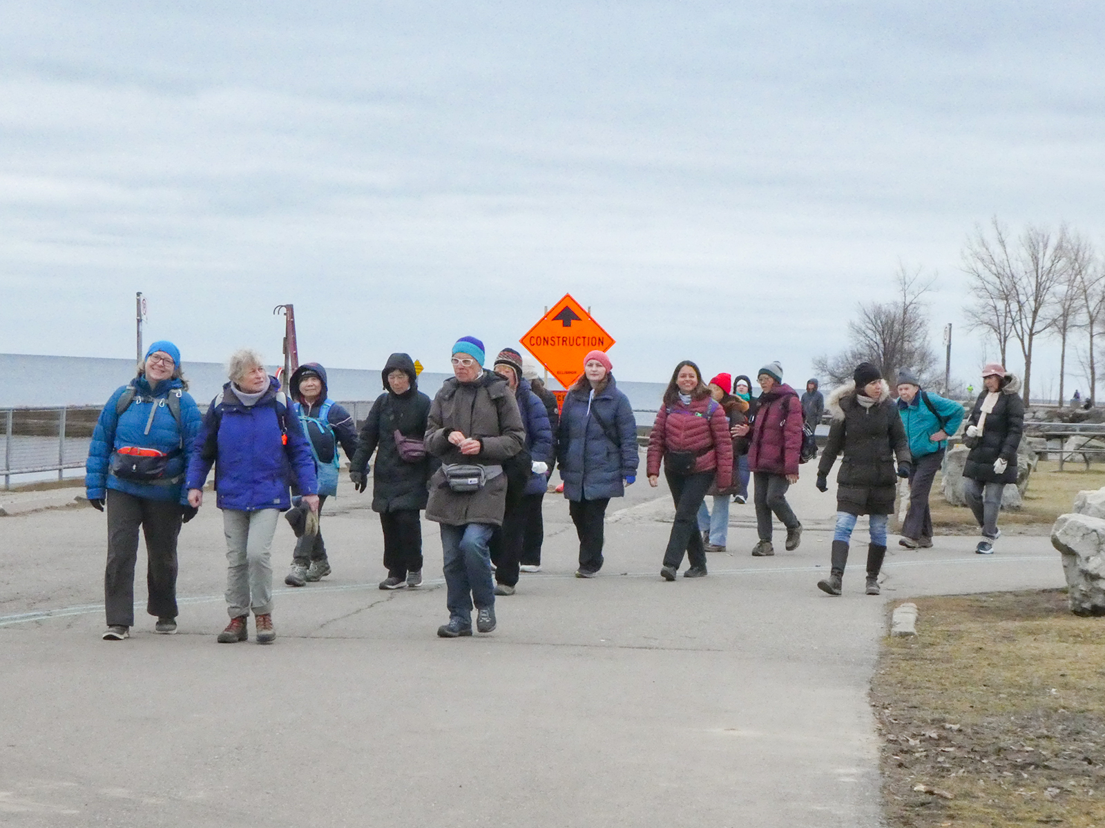
Urban Walk: Waterfront Trail 4/11 – Parklawn
https://hikesstaging.brucetrail.org/event/urban-walk-waterfront-trail-4-11-parklawn/Sorry, the registration cut-off time for this hike has been reached.Not a member? Click here to join today!Hosting Club: Toronto
Category: Urban Walk
Location (Google Maps): CanadaHike Leader(s): Brian Rideout Click here to contact Hike Leader(s)
Pace: Moderate (3-4 km/hr)
Terrain: Flat
Distance: 9.1 kmDescription
Please join me at Old Mill Station no later than 9:12 am. We will take the 66 bus departing 9:27 am, arriving 9:40 am. If you want to meet us at Parklawn and Lakeshore, please be there by 9:40 am. We start hiking at 9:50 am.We will hike east along the lake to Spadina. The estimated distance is 9.1 km. Here is an online map of our route Parklawn to Spadina
Bring a snack, at least 2 liters of water, and icers. Dress for cold weather.
Snowshoe Exploring Sydenham Hike #32
https://hikesstaging.brucetrail.org/event/snowshoe-exploring-sydenham-hike-32/Sorry, the registration cut-off time for this hike has been reached.Not a member? Click here to join today!Hosting Club: Sydenham
Category: Snowshoe Hike
Location (Google Maps):The Owen Sound Galaxy Cinema parking lot. Meet at the tall “Galaxy Centre” sign next to the traffic lights.
Hike Leader(s): Bill Snel Click here to contact Hike Leader(s)
Pace: Leisurely: 3 km/h or less
Terrain: Moderate: Some hills and/or poor footing
Distance: 2 kmDescription
We will carpool to do a snowshoe hike of the Frank Holley Loop. This is hike #32 in the book, Exploring Sydenham. There is one secret to locate. If you do not have a book and would like one ($30) let me know by using the “Contact hike leader” link.