
Hike Schedule
Join us for a hike! Registration required.
All hikes available to BTC members. Some hikes are open to non-members.
See Refund Policy for Paid Hikes >
TIP: The calendar view displays up to 7 hikes on a day, but often there are more. Click “View more events” to see them all.
Categories
- 13December 13, 2024

Iroquoia E2E Series 4 of 8 - rescheduled from November 22
https://hikesstaging.brucetrail.org/event/iroquoia-e2e-series-4-of-8/Sorry, the registration cut-off time for this hike has been reached.Not a member? Click here to join today!Hike open to BTC Members only.
Hosting Club: Iroquoia
Location (Google Maps): Meeting Place: Rock Chapel Nature Sanctuary Parking Lot
Hike Leader(s): Pati Greenwood, Jeff Dowsett Click here to contact Hike Leader(s)
Pace: Medium – 3 to 4 km/hr
Terrain: Dependent on Conditions, Moderate – Some hills and/or some poor footing, Slippery and Steep Sections
Distance: 14.7Description
Join us for this 4th hike of the of 8 hike series to complete the Iroquoia Section of the Bruce Trail. Register for all 8 hikes (to be entitled to the badge) or only the ones you are available for. Car shuffle and other hike details will be emailed to registered hikers a few days prior to the hike. Bring plenty of water and a snack. Wear appropriate clothing for conditions. Hiking boots are mandatory and hiking poles are suggested. Please arrive at the meeting place by 8:15 am as we will leave promptly at 8:30 am to shuffle to our starting point.
Loop Hike # 6 - Glen Haffy - CANCELLED
https://hikesstaging.brucetrail.org/event/loop-hikes-6-glen-haffy/Sorry, the registration cut-off time for this hike has been reached.Not a member? Click here to join today!Hosting Club: Iroquoia, Caledon Hills
Category: General Hike
Location (Google Maps): Parking lot off 7th Line, immediately East of Airport RoadHike Leader(s): Pati Greenwood, Jeff Dowsett Click here to contact Hike Leader(s)
Pace: Medium – 3 to 4 km/hr
Terrain: Moderate – Some hills and/or some poor footing, Slippery and Steep Sections
Distance: 17 KMDescription
This hike has been CANCELLED
9am NOTL Tour
https://hikesstaging.brucetrail.org/event/9am-notl-tour-2/Sorry, the registration cut-off time for this hike has been reached.Not a member? Click here to join today!Hosting Club: Niagara
Location (Google Maps): Meet on King St and Centre St at the entrance to Veteran’s Memorial Park.
Hike Leader(s): Margaret Northfield Click here to contact Hike Leader(s)
Pace: Medium
Terrain: Easy
Distance: 6-7kmDescription
- Each Friday we will explore some history of Niagara-on-the-Lake while getting a moderate paced walk. Discover where the Niagara River meets Lake Ontario. Experience the Heritage District, woods and the Niagara Parkway.
Some weeks may be totally on sidewalks and roads while others may include a mix of trail and paved pathways.
Great way to build up endurance for longer more strenuous hikes.
Plan to stay for conversation and a coffee at Sweets & Swirls, Community Centre, Niagara Stone Rd., NOTL
Robin & Margaret

Halton Agreement Forest
https://hikesstaging.brucetrail.org/event/halton-agreement-forest-2/Sorry, the registration cut-off time for this hike has been reached.Not a member? Click here to join today!Hosting Club: Iroquoia
Category: General Hike
Location (Google Maps): Meet roadside on 4th Line. Up Guelph Line from the 401, turn right on 10 Side Road and follow the curve as it becomes 4th Line.Hike Leader(s): Karen Bergmann Click here to contact Hike Leader(s)
Pace: Medium – 3 to 4 km/hr
Terrain: Moderate – Some hills and/or some poor footing
Distance: 8 kmsDescription
We will hike around the bike trails in this lovely Forest, including The Den and The Pines. Bring icers for your boots. - 14December 14, 2024
8:30 Merritt Trail Series #2
https://hikesstaging.brucetrail.org/event/830-merritt-trail-series-2/Sorry, the registration cut-off time for this hike has been reached.Not a member? Click here to join today!Hosting Club: Niagara
Category: Car Pool
Location (Google Maps): Meet at Parking lot of the Book Depot, 67 Front Street North, Thorold (43.128058 -79.202189). Carpool to Merritt Island Parking lot, Welland, Ont.Hike Leader(s): Lauren Doig Click here to contact Hike Leader(s)
Pace: Brisk
Terrain: Easy
Distance: 15kmDescription
Plan to be at our meeting place by 8:15 to coordinate car-pooling. Bring water and a snack. Dress for the weather. Complete all three hikes to earn the Merritt Trail Badge.Urban Walk: Cherry Beach Down town 165
https://hikesstaging.brucetrail.org/event/urban-walk-cherry-beach-down-town/Sorry, the registration cut-off time for this hike has been reached.Not a member? Click here to join today!Hosting Club: Toronto
Category: Urban Walk
Location (Google Maps): Parking lot at the end of Cherry StreetHike Leader(s): Mohammad Aghamiri Click here to contact Hike Leader(s)
Pace: Moderate (3-4 km/hr)
Terrain: Flat
Distance: 14-15 kmDescription
This is an urban walk accessible by car or public transit. TTC riders please check with the TTC (416) 393-4636 / tt.ca for the best routes from your location. We will hike for approximately 14 km at a moderate pace.
Saturday Shorts: Hockleycrest
https://hikesstaging.brucetrail.org/event/saturday-shorts-hockleycrest/Sorry, the registration cut-off time for this hike has been reached.Not a member? Click here to join today!Hike open to BTC Members only.
Hosting Club: Caledon Hills
Category: General
Location (Google Maps): Meet at 9:30 am at the Mono 5 Sideroad parking area at km 45.4 on the north side of the road where the Trail crosses. This is east of Airport Road. It is best to aim for arriving around 9:15, so we can start hiking as close to 9:30 am as possible. Thanks!Hike Leader(s): Elizabeth Ganong Click here to contact Hike Leader(s)
Pace: Medium – 3 to 4 km/hour
Terrain: Moderate – some hills and/or some poor footing
Distance: Approximately 5 kmDescription
Looking to get out on a Saturday but not give up your whole day? Saturday Shorts, a hiking series, will get you out in a small group on a short hike. Following the main Bruce Trail and side trails, this Saturday’s hike takes us through Hockleycrest. Be prepared for winter conditions on our approximately 5 km route by bringing warm gear, poles, and icers. You are encouraged to bring water and a snack. No dogs please.Urban Walk: Humber River/Black Creek Trail
https://hikesstaging.brucetrail.org/event/urban-walk-humber-river-black-creek-trail-2/Sorry, the registration cut-off time for this hike has been reached.Not a member? Click here to join today!Hosting Club: Toronto
Category: Urban Walk
Location (Google Maps):Meet Jane Subway Station outside the Station Attendant’s Booth
Hike Leader(s): Tom Swales, Dan Lopes, Felix Wan, Daniela Da Paz Click here to contact Hike Leader(s)
Pace: Moderate (3-4 km/hr)
Terrain: Level 1 (Easy – mostly on flat, well maintained trails with hard-packed surface), Variable
Distance: 9 kmDescription
Join us for a morning hike north on the Humber Recreation Trail to Dundas Street and eastbound on the Black Creek and Lavender Creek Trail to the Junction Craft Beverage Company in the renovated “Destructor” Incinerator building. Food menu is available for purchase, a variety of rotating non-alcoholic beverages are also available as well as Junction and Woodhouse Craft Beers. Outside food won’t be permitted as the kitchen will be open.
Iroquoia Bruce Trail Club x MEC - December 14/24 1pm Registration is not required for this clinic.
https://hikesstaging.brucetrail.org/event/iroquoia-bruce-trail-club-x-mec/Sorry, the registration cut-off time for this hike has been reached.Not a member? Click here to join today!Hosting Club: Iroquoia
Category: Special Event
Location (Google Maps): Mountain Equipment Company – 1030 Brant St BurlingtonHike Leader(s): Ruth Moffatt Click here to contact Hike Leader(s)
Distance: N/A
Description
Please join Ruth Moffatt, Hike Director, Iroquoia Bruce Trail Club at MEC Burlington for a clinic. Topics will include: What to pack in your backpack, what to wear on your hike, weather considerations, tips for hiking and a Q&A where you can ask any questions about the Bruce Trail, membership or what to expect while hiking.Registration is not required for this clinic.
Full Moon Hike Tommy Thompson Park - 12km
https://hikesstaging.brucetrail.org/event/full-moon-hike-tommy-thompson-park-12km/Sorry, the registration cut-off time for this hike has been reached.Not a member? Click here to join today!Hosting Club: Toronto
Category: Urban Walk
Location (Google Maps): Tommy Thompson Parking lot. GPS ( 43.651670, -79.323390)Hike Leader(s): Alina Lin
Pace: Brisk (4-5 km/hr)
Terrain: Flat, Level 1 (Easy – mostly on flat, well maintained trails with hard-packed surface)
Distance: 12KMDescription
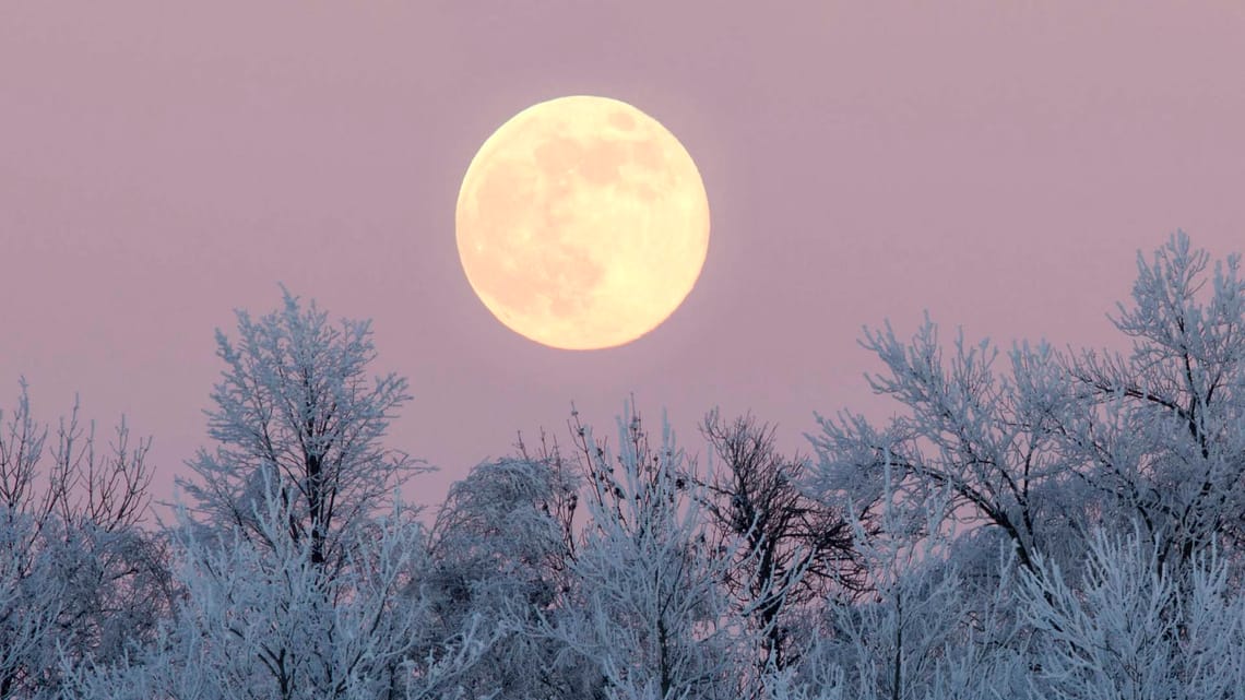
Note: This hike is planned for a night with clear skies to enjoy the full moon. If the weather forecast does not promise a clear night sky, the hike will be rescheduled to 5:00pm on Sunday December 15. Should the forecast for December 15 still not indicate clear skies, the hike will be cancelled. Any changes, including rescheduling or cancellation, will be posted here, and you will also receive an email notification at least 24 hours in advance. Please check this post and your email inbox for updates.Join Us for a Full Moon Night Hike under the Cold Moon! Experience the magic of the December full moon, also known as the Cold Moon or Long Night Moon, as we journey through the scenic paths of Tommy Thompson Park. Under the silvery glow of the long night moon, we’ll immerse ourselves in the tranquility and wonder of nature at night. Our hike will take us past Swan Lake, where the enchanting calls of trumpeter swans will serenade us. From the eastern side of this narrow man-made peninsula, we’ll marvel at the moonlit lake, while the western side offers breathtaking views of Toronto’s dazzling downtown skyline. If you’ve never seen the waterfront at night, prepare to be amazed by its beauty—it’s a sight you have to experience to believe! Be sure to bring a fully charged phone or camera to capture the stunning views and moments from this magical night.
Meeting Location: Tommy Thompson Parking lot, southwest of Leslie St and Unwin Ave. GPS ( 43.651670, -79.323390)
What to Bring:
- Hiking shoes or boots that are warm and sturdy. Half of the route is on hard paved surface and half on dirt path. Icers might be needed if the path is covered with snow or ice.
- A flashlight or headlamp (for safety in case as we’ll rely on moonlight when possible)
- Warm layers – it is the Cold Moon night and could get really cold.
- Water and a snack
- No pets
- 15December 15, 2024
Car Hike: Haliburton Exploratory Hike
https://hikesstaging.brucetrail.org/event/car-hike-haliburton-exploratory-hike/Sorry, the registration cut-off time for this hike has been reached.Not a member? Click here to join today!Hosting Club: Toronto
Category: Car Hike
Location (Google Maps):Haliburton
Hike Leader(s): Glynn Richardson Click here to contact Hike Leader(s)
Pace: Moderate (3-4 km/hr)
Terrain: Challenging, Hilly, Level 3 (Advanced – steep hills and some scrambling over boulders), Rocky, Variable
Distance: 16 kmDescription
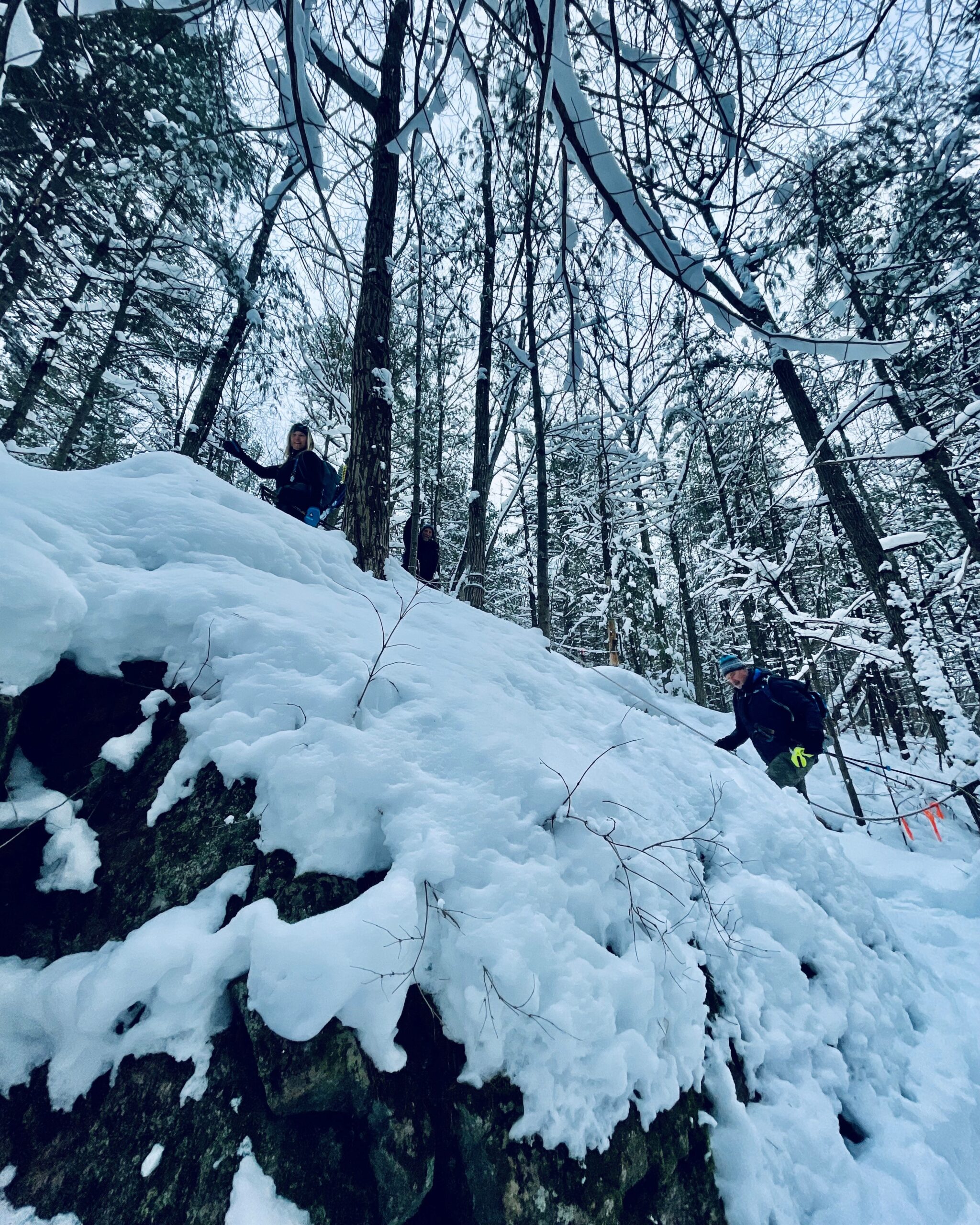
Let’s explore on this advanced hike!We’ll spend 6-8 hrs hiking 16 km, on and off the trail over rugged topography. Time and distance parameters will be flexible based upon the conditions and the group’s ability. We’ll pass through forests, travel over rock barrens and view amazing landscapes. Bring extra socks as our feet may get a little wet as we navigate our way around lakes (we will not be travelling on ice), over ponds (we will cross beaver dams), and creeks (jumping across, travelling over rocks and logs), There will be lots of elevation change and challenges.
Hiking boots, trail crampons, snowshoes and headlamps are MANDATORY. DO NOT show up without these items, you will not be allowed to participate. At the trailhead we will evaluate conditions and determine whether we will wear, carry (bring paracord, bungie cord(s) or your preferred strapping mechanism) or leave behind our snowshoes. Hiking poles and gaiters are highly recommended.
Bring lunch, snacks and water, or a favorite beverage. 2L recommended.
Check the weather in advance and dress in layers accordingly.
There will be no dropouts, and no dogs allowed.
Registered participants are to arrive 15 minutes prior to the hike to be briefed.
Register now, space is limited.
10:00 am Gerry Berkhout Trail in Fenwick
https://hikesstaging.brucetrail.org/event/1100-am-gerry-berkhout-trail-in-fenwick-4/Sorry, the registration cut-off time for this hike has been reached.Not a member? Click here to join today!Hosting Club: Niagara
Category: In and Out
Location (Google Maps):Meet at Centennial Park on Church St in Fenwick. Park in first parking lot. After the hike we can go to the Grill on Canboro for refreshments. This is a flat walk, minimal if any mud. Bring water and dress for the weather.
Hike Leader(s): Lynskie Click here to contact Hike Leader(s)
Pace: Fast
Terrain: Easy
Distance: 10kmsDescription
This will be an in/out hike. We’ll walk for an hour and then turn around. The terrain is flat (this was an old railway line) and in most sections will be dry. If you have any medical condition that you think I should know about, please email me when you register or see me the morning of the hike.
Car Hike: Greenwood Conservation Area: Learn about environment protection and wildlife
https://hikesstaging.brucetrail.org/event/car-hike-greenwood-conservation-area-learn-about-environment-protection-and-wildlife-2/Sorry, the registration cut-off time for this hike has been reached.Not a member? Click here to join today!Hosting Club: Toronto
Category: Car Hike
Location (Google Maps):Greenwood Conservation North Entrance, 5th Concession Rd, Pickering, ON. From Toronto, take Don Valley hwy 404 northbound and get on 401 hwy eastbound towards Pickering. Take exit 399 to hwy 1 Brock Road and head northbound. Take a right at 5th Concession road. If there is no parking in the parking lot, park on the north side of the street.
Hike Leader(s): KJ Chong Click here to contact Hike Leader(s)
Pace: Moderate (3-4 km/hr)
Terrain: Variable
Distance: 6 kmDescription
An educational hike into Greenwood Conservation Area, a beautiful area with forests and creeks. This hike will have multiple stops to share information about environmental protection, wildlife in the area and interesting plants and invasive species. We will also visit a barn ruins and see farm remnants along the way.**NEW REQUIREMENT***: Icers now required to bring due to slippery trail conditions. If you don’t have them you will be turned away.
While we love furry friends, please leave your dogs at home.

Urban Walk; Rouge Park
https://hikesstaging.brucetrail.org/event/urban-walk-rouge-park/Sorry, the registration cut-off time for this hike has been reached.Not a member? Click here to join today!Hosting Club: Toronto
Category: Urban Walk
Location (Google Maps): Toronto, Ontario, CanadaHike Leader(s): Brian Rideout Click here to contact Hike Leader(s)
Pace: Moderate (3-4 km/hr)
Terrain: Level 2 (Intermediate – some hills and uneven surfaces, rocks and roots underfoot)
Distance: 10.17 kmDescription
Please join me for a holiday hike in the Rouge National Urban Park, which has been voted by some members as my best and exhilarating one. On this hike, you can expect rolling hills, and stunning vistas, including the largest remaining wetland in the City of Toronto.The hike starts at the Toronto Zoo entrance. To get there, you can meet me at Kennedy TTC station by 9:55 am for a 42-minute bus ride, or you can take the 85 Sheppard East bus route from Don Mills Station or Rouge Hill GO station. If driving, consider parking for free next to the Rouge Valley Conservation Centre (Pearse House), GPS (43.81780727235202, -79.17176449225887), where the hike ends, and walk over to the Toronto Zoo entrance. This walk is about 10 minutes.
Please bring at least 2 liters of water, a snack and dress for the cold. Hiking poles are recommended. Bring icers just in case.
Apres-hike at The Stone Cottage Pub, to share the holiday season with fellow hikers. Please wear Holiday colors and bring your appetite.
Here is an online map of our route (https://onthegomap.com/s/9mpj477d) Rouge Park Map
Gap and Lindenwood Pond Sidetrails
https://hikesstaging.brucetrail.org/event/gap-and-lindenwood-pond-sidetrails/Sorry, the registration cut-off time for this hike has been reached.Not a member? Click here to join today!Hosting Club: Sydenham
Category: Family Hike
Location (Google Maps): The Owen Sound Galaxy Cinema parking lot. Meet at the tall “Galaxy Centre” sign next to the traffic lights.Hike Leader(s): Danuta Valleau Click here to contact Hike Leader(s)
Pace: Leisurely: 3 km/h or less
Terrain: Moderate: Some hills and/or poor footing
Distance: 4 to 5 kmDescription
Gather at SW corner of Galaxy Cinema parking lot. We will leave at 1:15 sharp to arrive at start of hike BTC Map 33 Gap Side Trail on Conc 14 by approx 1:30 pm. The side trails form a loop with the main trail and wind through mixed forest and along top of escarpment. If there is deep enough snow, this can be a snowshoe hike. Otherwise wear well fitting shoes or boots, walking poles can be an asset, and bring water and snacks.
- Full Moon hike - cold Moon - long night moon
https://hikesstaging.brucetrail.org/event/full-moon-hike-cold-moon-long-night-moon/Sorry, the registration cut-off time for this hike has been reached.Not a member? Click here to join today!Hosting Club: Iroquoia
Category: Afternoon/Evening Hikes
Location (Google Maps): City View Park, BurlingtonHike Leader(s): Madeline Grady Click here to contact Hike Leader(s)
Pace: Leisurely – 3km/hr or less
Terrain: Easy – Mostly flat and usually good footing
Distance: about 8 kmDescription
Please park in the smaller lot (2nd from Hwy 5) if coming from Kerns Road below it’s the 1st driveway once you’ve crested the escarpment)We will start with getting acclimatized to the moonlight before we begin. This is an out and back hike. The trail will be mostly flat starting in the open before entering the wooded area on the other side of Kerns Road. There are some great lookouts to see Burlington and hopefully the moon over the lake. Poles and hiking shoes/boots and head lamps are recommended. Try to dim your headlamp with a red light or covering Please bring water and a snack.

Moonlit Hike Series - (part 3 of 6) Solstice Moon
https://hikesstaging.brucetrail.org/event/moonlit-hike-series-solstice-moon/Sorry, the registration cut-off time for this hike has been reached.Not a member? Click here to join today!Hosting Club: Peninsula
Category: Moonlit Hike Series
Location (Google Maps): Cemetery Rd and Ilse Hanel Side Trails. Meet at the parking lot at the end of Cemetery RoadHike Leader(s): Beige McIntosh Click here to contact Hike Leader(s)
Pace: Leisurely (2.0 – 3.0 km/h): A relaxed pace with frequent breaks and a focus on enjoyment.
Terrain: Easy: Flat forested sections or lowland trails.
Distance: ~3Description
Join us for hike three of a six part Full Moon Hike Series (October – March).Our hike starts at the Cemetery Road side trail which will take us to the Ilse Hanel side trail. We will hike through a beautiful hardwood forest and if we have a clear night we have lots of moonlight shining in through the trees!
This 3 km hike (out and back) is generally on flat and even terrain. We will find a spot to sit amongst the maples to soak in the moonlight and we plan to share some songs to sing together as a group. They will be uplifting and easy to learn; if you want to simply sit and listen that’s welcome too! We will then return to the parking lot the way we came in.
We will bring warming herbal tea.
Bring a chair or mat to sit on, a mug, sturdy footwear, a headlamp with a red setting if you have it and warm layers.
Sunset is 4:44pm
The moon rises at 4:42 pm from the NE.
Start time is 6:00pm
Moonlight Hike - hike in Niagara on the Lake under the Full Moon
https://hikesstaging.brucetrail.org/event/moonlight-hike-hike-in-niagara-on-the-lake-under-the-full-moon/Sorry, the registration cut-off time for this hike has been reached.Not a member? Click here to join today!Hosting Club: Niagara
Category: Night
Location (Google Maps): Veteran’s ParkHike Leader(s): Sheila Massey Click here to contact Hike Leader(s)
Terrain: Easy
Distance: 6 – 7 kmDescription
The December full moon is called many different names, some of which are the Cold Moon, Snow Moon, Moon Before Yule, Little Spirit Moon. If anyone is interested, we could go to one of the local establishments for a beverage after. - 16December 16, 2024
Beamsville Hike
https://hikesstaging.brucetrail.org/event/beamsville-hike-2/Sorry, the registration cut-off time for this hike has been reached.Not a member? Click here to join today!Hosting Club: Niagara
Category: In and Out
Location (Google Maps): Meet in parking lot at Kinsmen Park, BeamsvilleHike Leader(s): Kathleen Manson Click here to contact Hike Leader(s)
Pace: Fast
Terrain: Moderate
Distance: 8 kmDescription
We will head east and visit Cave Springs CA and return.It is mostly level with some hills and a lot of tricky footing.
Hiking poles are highly recommended. Wear supportive hiking boots with good tread. There are a lot of rocks and crevices. Icers will be required if it is icy, they are not very helpful in just snow.
Please arrive 15 minutes early.
If your plans change, please self-cancel as soon as possible so that other members may take your spot.
Hike Leader reserves the right to modify the hike.
Photography Hike in the Bognor Marsh
https://hikesstaging.brucetrail.org/event/photography-hike-in-the-bognor-marsh/Sorry, the registration cut-off time for this hike has been reached.Not a member? Click here to join today!Hosting Club: Sydenham
Category: Photography Hike
Location (Google Maps): Bognor Marsh Conservation Area on Grey Road 18Hike Leader(s): Cindy Paczkowski Click here to contact Hike Leader(s)
Pace: Leisurely: 3 km/h or less
Terrain: Easy: Mostly flat and good footing., There might be icy and slippery sections., There might be muddy sections., There might be sections with water on the trail.
Distance: 5.1 kmDescription
Let’s find beauty in the space between the autumn and beginning of snow season! We will look for lovely things to photograph in the marsh and forest. Bring your iPhone, android or DSLR cameras. We won’t have enough time to set up tripods, unless you happen to be an expert at doing that in a timely manner. There may be muddy sections, and if the ground happens to freeze, icers may be needed. This is a loop hike and there is lots of parking at the marsh.
7pm Festival of Lights Hike
https://hikesstaging.brucetrail.org/event/7pm-festival-of-lights-hike-2/Sorry, the registration cut-off time for this hike has been reached.Not a member? Click here to join today!Hosting Club: Niagara
Category: Night
Location (Google Maps): Meet at the Floral Shophouse, Niagara River Parkway. Paid parking – can use the annual Niagara Parks Parking Pass or pay for parking there. Avoid parking fees by carpooling.Hike Leader(s): Margaret Northfield Click here to contact Hike Leader(s)
Pace: Leisurely
Terrain: Easy
Distance: 4-5kmDescription
Get into the holiday spirit with your hiking buddies as we walk through Niagara Parks and around by the Falls. Wear warmer clothes so you can stop to take photos and enjoy the lights.Share your favourite holiday treat after the hike. Hot apple cider and holiday treats will be shared in the parking lot following the hike.