
Hike Schedule
Join us for a hike! Registration required.
All hikes available to BTC members. Some hikes are open to non-members.
See Refund Policy for Paid Hikes >
TIP: The calendar view displays up to 7 hikes on a day, but often there are more. Click “View more events” to see them all.
Categories
- 01December 1, 2024
Dufferin Delights - Kilgorie to the Boyne Valley - CANCELLED
https://hikesstaging.brucetrail.org/event/dufferin-delights-kilgorie-to-the-boyne-valley/Sorry, the registration cut-off time for this hike has been reached.Not a member? Click here to join today!Hosting Club: Dufferin Hi-Land
Category: Cancelled
Location (Google Maps): End of Centre Road south of 5 Sideroad. About 2 kms directly south of Whitfield. BTC Map 20, km. 17.6.Hike Leader(s): Stuart Law Click here to contact Hike Leader(s)
Pace: Medium
Terrain: Slippery and Steep Sections, Strenuous
Distance: 16.2 kmsDescription
Join us on the second of our three hikes to explore the Dufferin Section. We climb one of the longest ascents on the entire Bruce Trail – the world famous Kilgorie Hill. Not for the faint of heart. Then come the interminable ups and downs of the Boyne Valley. Tough but highly rewarding. Please dress for the weather – that may include snow and ice. Pack your icers, a snack, a lunch, a warm drink, some water and a smile. Hiking boots mandatory. Poles recommended. Please bring a change of footwear and a garbage bag for the shuttle. Please be prepared to drive other hikers too for the shuttle. Please arrive at 9:00 am to be ready to shuttle at 9:15.Dundas Valley Loop
https://hikesstaging.brucetrail.org/event/dundas-valley-loop/Sorry, the registration cut-off time for this hike has been reached.Not a member? Click here to join today!Hosting Club: Dufferin Hi-Land
Category: General Hike
Location (Google Maps): Iroquoia Section, Map 8. Dundas Valley Conservation Area Parking Lot P3. Take DVCA Trail Centre Entrance off Governors Road, near km 51.8.Hike Leader(s): Stuart Law Click here to contact Hike Leader(s)
Pace: Medium
Terrain: Moderate
Distance: 17 kmsDescription
Join us on a lovely loop hike in the Dundas Valley. We take in part of the Bruce Trail and several DVCA trails. Waterfalls like Sherman, Canterbury, and Cascade. Please bring icers, a warm drink, water, a snack for “elevensies”, lunch, hiking boots, poles and lots of smiles. Entrance fee to DVCA in effect at gate. Consider buying a Hamilton Conservation Area annual pass. It’s well worth it. Please arrive at 9:15 to be ready to hike at 9:30.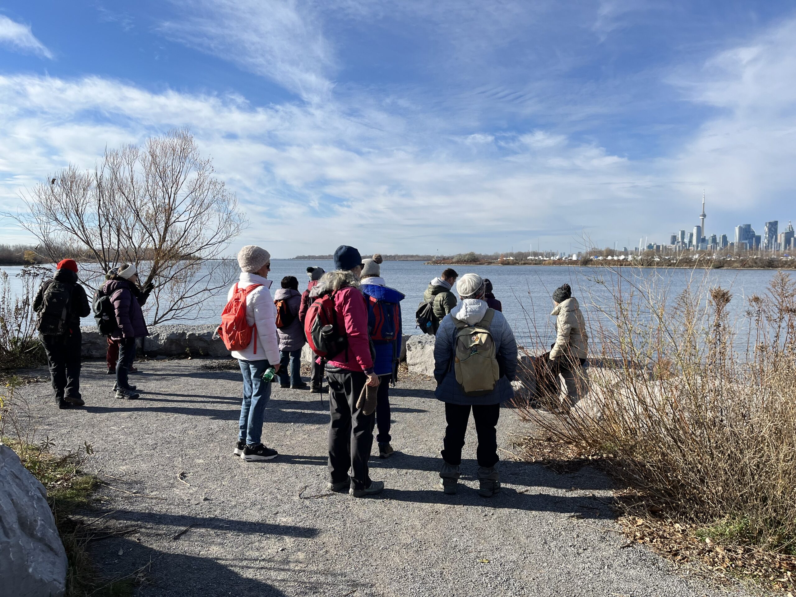
Urban Walk: Tommy Thompson Park-Toronto's Urban Wilderness (on the Leslie Street Spit) Toronto
https://hikesstaging.brucetrail.org/event/urban-walk-tommy-thompson-park-torontos-urban-wilderness-on-the-leslie-street-spit-toronto-2/Sorry, the registration cut-off time for this hike has been reached.Not a member? Click here to join today!Hosting Club: Toronto
Category: Urban Walk
Location (Google Maps):Tommy Thompson Park, 1 Leslie St. Toronto
Hike Leader(s): Jeanette Vincent Click here to contact Hike Leader(s)
Pace: Moderate (3-4 km/hr)
Terrain: Flat, Level 1 (Easy – mostly on flat, well maintained trails with hard-packed surface)
Distance: 13/14kmDescription
Meet at 10:00 a.m. at the entrance parking lot at 1 Leslie St. We will walk to the end of the spit and back using some of the various side trails loops. A unique place to experience nature and wildlife in a man made area. The spit has been made from the rubble from an ever growing Toronto which began in 1959. Visit https://tommythompsonpark.ca/about/ for the history and growth of this area. In addition to its unique natural features, the park offers picturesque views of the Toronto skyline and Lake Ontario.No dogs. Wear good walking shoes or boots. Bring snack/lunch and water. Dropouts along the way. Dress appropriate for the weather conditions.
Car Hike; Mono Cliffs
https://hikesstaging.brucetrail.org/event/car-hike-mono-cliffs/Sorry, the registration cut-off time for this hike has been reached.Not a member? Click here to join today!Hosting Club: Toronto
Category: Car Hike
Location (Google Maps): Mono Cliffs Provincial Park, Map 19Hike Leader(s): Al Brown Click here to contact Hike Leader(s)
Pace: Leisurely (2-3 km/hr)
Terrain: Level 1 (Easy – mostly on flat, well maintained trails with hard-packed surface)
Distance: 8-10 kmDescription
We will complete a loop hike through the Mono Cliffs Provincial Park on the main and side trails.After the hike those interested may join me for refreshments in the area at a place TBA.
To get to the meeting location drive north on Hwy 10 past Orangeville to County Road 8 (Mono Centre Road). Turn right and go about 5 km to Mono Centre. The parking area is on your right behind a tennis court that you will see as you approach the village (200 meters south).
- 02December 2, 2024

Iroquoia E2E Series 7 of 8
https://hikesstaging.brucetrail.org/event/iroquoia-e2e-series-7-of-8/Sorry, the registration cut-off time for this hike has been reached.Not a member? Click here to join today!Hike open to BTC Members only.
Hosting Club: Iroquoia
Location (Google Maps): Meeting Place: Crawford Lake Conservation Area Parking Lot – Reservation Required
Hike Leader(s): Pati Greenwood, Jeff Dowsett Click here to contact Hike Leader(s)
Pace: Medium – 3 to 4 km/hr
Terrain: Moderate – Some hills and/or some poor footing
Distance: 17.2Description
Join us for this 7th hike of the of 8 hike series to complete the Iroquoia Section of the Bruce Trail. Register for all 8 hikes (to be entitled to the badge) or only the ones you are available for. Car shuffle and other hike details will be emailed to registered hikers a few days prior to the hike. Bring plenty of water and a snack. Wear appropriate clothing for conditions. Hiking boots are mandatory and hiking poles are suggested. Please arrive at the meeting place by 8:15 am as we will leave promptly at 8:30 am to shuffle to our starting point.Friendship Trail (City View Park to Grindstone Creek Loop)
https://hikesstaging.brucetrail.org/event/friendship-trail-city-view-park-to-grindstone-creek-loop/Sorry, the registration cut-off time for this hike has been reached.Not a member? Click here to join today!Hosting Club: Iroquoia
Category: General Hike
Location (Google Maps): Meet at City View Park parking lot (South Entrance), Burlington. Located just south of Hwy #5 off of Kerns Rd.Hike Leader(s): Karen Capindale-Smith Click here to contact Hike Leader(s)
Pace: Medium – 3 to 4 km/hr
Terrain: Strenuous – Hilly with steep climbs and some poor footing
Distance: 10km +Description
This 10.5 km hike will follow the main BT along the edge of the escarpment for great views of the Skyway bridge , Lake Ontario and surrounding area. We will continue to the outskirts of Waterdown and down into/out of the Grindstone Creek via the McNally and Waterdown Rd Side trails and main BT. Please dress in layers and bring water, a snack and lunch (optional). Icers may be necessary.Expect baked goods 🙂
Woodford - looping north & south
https://hikesstaging.brucetrail.org/event/woodford-looping-north-south/Sorry, the registration cut-off time for this hike has been reached.Not a member? Click here to join today!Hosting Club: Sydenham
Category: General Hike
Location (Google Maps): Meet in the north-east corner of the parking lot at Home Depot on Highway 26 on the east side of Owen Sound.Hike Leader(s): Ian Mills Click here to contact Hike Leader(s)
Pace: Leisurely: 3 km/h or less
Terrain: Moderate: Some hills and/or poor footing, There might be sections with water on the trail.
Distance: 5 kmDescription
We will start our hike at Woodford and head north along the Woodford Escarpment Side Trail returning via Main Trail. Then for those who are interested we can hike along the Crevice Spring Side Trail returning via Main Trail. This will be a leisurely hike open to all levels. Depending upon weather conditions I will email all is icers or shoe shoes are required. BTC Map # 30. - 03December 3, 2024
Urban Walk: Valley View Park Thornhill
https://hikesstaging.brucetrail.org/event/urban-walk-valley-view-park-thornhill-38/Sorry, the registration cut-off time for this hike has been reached.Not a member? Click here to join today!Hosting Club: Toronto
Location (Google Maps): Parking lot at the corner of Bayview Ave, and Sycamore Dr. South of Highway 7
Sycamore Dr. is 3blocks south of highway 7 and 2 blocks north of John Street, parking lot is across plaza of Dollarama and Star boxHike Leader(s): Mohammad Aghamiri Click here to contact Hike Leader(s)
Pace: Moderate (3-4 km/hr)
Terrain: Level 2 (Intermediate – some hills and uneven surfaces, rocks and roots underfoot)
Distance: 7-8 kmDescription
We will explore Valleyview and Maple view parks, and walk along German Mill Creek, for a distance of 7-8 km. Difficulty Level: 2 (Moderate)9:00 Long Hike Wiley Road Short Hills
https://hikesstaging.brucetrail.org/event/900-long-hike-wiley-road-short-hills-34/Sorry, the registration cut-off time for this hike has been reached.Not a member? Click here to join today!Hosting Club: Niagara
Location (Google Maps):
Short Hills Wiley Road Entrance
Pace: Medium
Terrain: Moderate
: 10kmDescription
Explore Short Hills and the majestic side trails of Scarlett Tanager, Hemlock. Swayze Falls and Terrace. Register for each hikeBring Poles, Icers, snack, and dress for the weather
9:15 Short hike - Pelham Road, Short Hills
https://hikesstaging.brucetrail.org/event/915-short-hike-pelham-road-short-hills-3/Sorry, the registration cut-off time for this hike has been reached.Not a member? Click here to join today!Hosting Club: Niagara
Category: Loop
Location (Google Maps): Short Hills Provincial Park, Pelham Road entranceHike Leader(s): janet davey Click here to contact Hike Leader(s)
Pace: Medium
Terrain: Moderate
Distance: 6 kmsDescription
Hike the main and side trails in Short Hills Provincial Park. Bring hiking boots and water. Keep a pair of icers in your car in case of icy conditions.Walter Tovell and Lookout Side Trail and Main Trail Loop
https://hikesstaging.brucetrail.org/event/walter-tovell-and-lookout-side-trail-and-main-trail-loop/Sorry, the registration cut-off time for this hike has been reached.Not a member? Click here to join today!Hosting Club: Dufferin Hi-Land
Category: Tuesday Hike
Location (Google Maps):Dufferin Hi-Land Section, Map 19. Meet at roadside parking at corner of 2nd Line and 25 Sideroad.
Hike Leader(s): Inge Eckerich, Les Babbage, Julie Daley, Tony Evangelista Click here to contact Hike Leader(s)
Pace: Leisurely
Terrain: Moderate
Distance: 5 kmDescription
We will hike the Walter Tovell Side Trail, Main Trail and Lookout Side Trail. Icers and/or snowshoes may be required.Nottawasaga Bluffs - CANCELED
https://hikesstaging.brucetrail.org/event/nottawasaga-bluffs-4/Sorry, the registration cut-off time for this hike has been reached.Not a member? Click here to join today!Hosting Club: Beaver Valley
Location (Google Maps): Meet at the parking on 15/16 Sideroad provided by the Nottawasaga Conservation Authority (fee).
This parking lot is only accessible from Con 10 south.
Map 22, ED 31Hike Leader(s): Kristina Rettie Click here to contact the hike leader.
Pace: Brisk
Terrain: Some rocky footing, Some steep sections, Strenuous
Length of Hike: 9kmDescription
On this loop hike we will take in the Hamilton Bro Side Trail, Keyhole Side Trail, Nottawasaga Bluff Lookout Side Trail as well as Main Bruce Trail.We will pass by our cars at around 5km. At this point depending on conditions there will be an opportunity to bail out. If the conditions are favourable we can continue on for another 4km bringing us back to our cars.
Be prepared with snowshoes & icers
Please bring snacks and water.
No dogs!
Call or text Kristina for morning of cancelations @ 519-410-9077
COVID-19 Precautions Before, During and After your Hike
- Each hiker joining a Bruce Trail Club organized hike must perform a self-screening check before hiking.
Find Ontario’s self-assessment tool here: https://covid-19.ontario.ca/self-assessment/ - If you are experiencing COVID-19 symptoms, stay home.
- Personal Protective Equipment:
- Hikers may choose to wear masks
Transportation
It is the Bruce Trail Conservancy’s current policy that car shuttles are allowed. It is at the discrepancy of individual hike leaders to make that decision.
Other Guidelines
- Arrive 15 minutes before the start of the hike.
- Wear sturdy footwear and appropriate attire for the weather and the terrain.
Hiking poles are a good idea in any season, especially if the terrain is rocky or slippery. In winter, snowshoes or icers/crampons are needed when conditions dictate.
Wearing appropriate clothing and footwear prevents injuries and shows consideration for a safe and positive group hiking experience. - Always carry I.D. and your health card.
- Bring sufficient water and snacks (or lunch if indicated). A minimum of 1L of water is recommended on all hikes, and 3L is recommended for long, challenging hikes in the heat of the summer.
- Bring sunscreen and insect repellent (for spring and summer hikes).
- Bring your own first aid kit.
- Please leave dogs at home.
- Each hiker joining a Bruce Trail Club organized hike must perform a self-screening check before hiking.
- 04December 4, 2024
TWO UNIQUE BTC PROPERTIES
https://hikesstaging.brucetrail.org/event/two-unique-btc-properties/Sorry, the registration cut-off time for this hike has been reached.Not a member? Click here to join today!Hosting Club: Blue Mountains
Category: Organized Hike
Location (Google Maps): Hike meets in the parking lot behind Tim Hortons on First St. in Collingwood.Hike Leader(s): Richard Edwards Click here to contact Hike Leader(s)
Pace: Medium – 3 to 4 km/hr
Terrain: Moderate – Some hills and/or some poor footing
Distance: 5 kmDescription
We will carpool to P at 6.1 on cty. rd. 9 ,map 21 just west of Dunedin. The
trail climbs uphill alongside a marvelous meadow, now preserved in the BTC Gardner Property. The path then traverses by an agricultural field before descending to con. 10 where we enter the Dunedin Valley Nature Preserve. Here the trail goes through a mix of forest types and a long the banks of a beautiful meandering cold-water stream before returning to con 10 and back-tracking to our start on cty. rd. 9.for a 5 km loop hike.Wednesday Walkers: East of Metcalfe Rock
https://hikesstaging.brucetrail.org/event/wednesday-walkers-east-of-metcalfe-rock/Sorry, the registration cut-off time for this hike has been reached.Not a member? Click here to join today!Hosting Club: Beaver Valley
Location (Google Maps): Meet in the parking lot of Metcalfe Rock on the 10th Line. Km 27.9 in Edition 31 of the Bruce Trail Reference.
Hike Leader(s): Margaret Yaraskavitch Click here to contact the hike leader.
Pace: Medium
Terrain: Moderate, Some rocky footing, Some steep sections
Length of Hike: 5 kmDescription
We will depart from the Metcalfe Rock parking lot and head into the Kolapore Uplands. We’ll have a good view from the top of Metcalfe Rock. We’ll walk a stretch of the Kolapore Uplands and then turn back. On our return route, we’ll explore the Metcalfe Crevice Side Trail. There will be an option to avoid the Side Trail as we can make two groups.
Nassagaweya Canyon, from Crawford Lake (reservations required)
https://hikesstaging.brucetrail.org/event/nassagaweya-canyon-from-crawford-lake-reservations-required/Sorry, the registration cut-off time for this hike has been reached.Not a member? Click here to join today!Hosting Club: Iroquoia
Category: General Hike
Location (Google Maps): Meet in the first parking lot at Crawford Lake. You will need to reserve your time at conservationhalton.caHike Leader(s): Karen Bergmann Click here to contact Hike Leader(s)
Pace: Medium – 3 to 4 km/hr
Terrain: Moderate – Some hills and/or some poor footing
Distance: 9 kmsDescription
We will hike through the park and down into the canyon and back up into the park for a large loop. There are some rocks along the way and a couple of steep hills (going down into the canyon and then back up). Bring icers, just in case. Hike is dependent on weather conditions.RBG North Shore Trails - Cancelled
https://hikesstaging.brucetrail.org/event/rbg-north-shore-trails/Sorry, the registration cut-off time for this hike has been reached.Not a member? Click here to join today!Hosting Club: Iroquoia
Category: Good Companions
Location (Google Maps): Meet in the parking lot by the Pavillion at the RBG Nature Interpretive Center (Arboretum) at 9:45am.Hike Leader(s): Linda Robinson Click here to contact Hike Leader(s)
Pace: Leisurely – 3km/hr or less
Terrain: Easy – Mostly flat and usually good footing
Distance: 6 kmDescription
Bring water and snacks. Please email me if you’ve registered and cannot make it on hike day.Urban Owen Sound Hike to view the Festival of Northern Lights followed by an Opportunity for Refreshments
https://hikesstaging.brucetrail.org/event/urban-owen-sound-hike-to-view-the-festival-of-northern-lights-followed-by-an-opportunity-for-refreshments-2/Sorry, the registration cut-off time for this hike has been reached.Not a member? Click here to join today!Hosting Club: Sydenham
Category: An evening walk.
Location (Google Maps): Meet in the municipal parking lot by the river on the West side of 1st Ave East between 7th St Est and 8th St East in Owen Sound.Hike Leader(s): Harriet Nixon Click here to contact Hike Leader(s)
Pace: Medium: 3 to 4 km/h
Terrain: Easy: Mostly flat and good footing., There might be icy and slippery sections.Description
Join us for an evening hike viewing the Festival of Northern Lights in the River District and Harrison Park, followed by an opportunity for refreshments. Bring icers in case of icy conditions. There is no need to show up 15 minutes early for this hike, but the hike will start promptly at 7:0o pm. - 05December 5, 2024
Urban Walk: Valley View Park Thornhill
https://hikesstaging.brucetrail.org/event/urban-walk-valley-view-park-thornhill-39/Sorry, the registration cut-off time for this hike has been reached.Not a member? Click here to join today!Hosting Club: Toronto
Location (Google Maps): Parking lot at the corner of Bayview Ave, and Sycamore Dr. South of Highway 7
Sycamore Dr. is 3blocks south of highway 7 and 2 blocks north of John Street, parking lot is across plaza of Dollarama and Star boxHike Leader(s): Mohammad Aghamiri Click here to contact Hike Leader(s)
Pace: Moderate (3-4 km/hr)
Terrain: Level 2 (Intermediate – some hills and uneven surfaces, rocks and roots underfoot)
Distance: 7-8 kmDescription
We will explore Valleyview and Maple view parks, and walk along German Mill Creek, for a distance of 7-8 km. Difficulty Level: 2 (Moderate)9:00 am Long Hike Cave Spring NEW LOCATION
https://hikesstaging.brucetrail.org/event/900-am-long-hike-cave-spring-new-location/Sorry, the registration cut-off time for this hike has been reached.Not a member? Click here to join today!Hosting Club: Niagara
Category: In and Out
Location (Google Maps):Cave Spring Conservation Area
Hike Leader(s): Alan Laver Click here to contact Hike Leader(s)
Pace: Medium
Terrain: Moderate
Distance: 10kDescription
From Cave Spring Conservation Area explore the trail network on the escarpment You must register for each hike. Bring Poles, snack and a drink and dress for the weatherHiking Around Jordan
https://hikesstaging.brucetrail.org/event/hiking-around-jordan-11/Sorry, the registration cut-off time for this hike has been reached.Not a member? Click here to join today!Hosting Club: Niagara
Category: Hike
Location (Google Maps): Jordan Hollow, across from Boo’s Restaurant (now known as Shoarishon Park)Hike Leader(s): Bill Russell Click here to contact Hike Leader(s)
Pace: Medium
Terrain: Moderate
Distance: 7 kmDescription
Hiking around Jordan (Balls Falls, Jim Rainforth Trail and Bailey Bridge through the Village of Jordan
To the Pit and Back
https://hikesstaging.brucetrail.org/event/to-the-pit-and-back/Sorry, the registration cut-off time for this hike has been reached.Not a member? Click here to join today!Hosting Club: Iroquoia
Category: Thursday Group
Location (Google Maps): Scottsdale Farm 13807 Trafalgar RoadHike Leader(s): Anne Armstrong Click here to contact Hike Leader(s)
Pace: Leisurely – 3km/hr or less
Terrain: Dependent on Conditions, Moderate – Some hills and/or some poor footing
Distance: Approx. 9 km.Description
Scottsdale Farm is a beautiful Heritage Farm, donated to Ontario Heritage Foundation by the Bennett Family. The farm buildings and home are still there. Both Bruce Trail main and side trails criss cross through this area. Today awe will access the main trail and hike west to Highway 7 and then use the Duff Pit Side trail to see the old pit grounds and on to the former reservoir for Georgetown, located in a beautiful setting. Please meet in the parking lot of Scottsdale Farm, located on the east side of Trafalgar Rd. Bring a snack, water and poles if using.
Leader: Anne ArmstrongWinter Fun 101, Virtual Information Session
https://hikesstaging.brucetrail.org/event/winter-fun-101-virtual-information-session/Sorry, the registration cut-off time for this hike has been reached.Not a member? Click here to join today!Hosting Club: Toronto
Category: TBTC Special Events
Location (Google Maps): Online via ZoomHike Leader(s): George Lennon, Martina Furrer, Tom Swales, Alina Lin Click here to contact Hike Leader(s)
Description
Gear up for a winter of outdoor fun on the Bruce Trail and beyond. Join us for a virtual information session to learn the basics of safe winter hiking and cross-country skiing and learn about the Toronto Bruce Trail Club’s winter coach program. Enjoy a 30 to 40 minute presentation, followed by a question and answer session.Zoom Link:
https://us02web.zoom.us/j/81909511216?pwd=0IfG7rVQXda9ixlRhFtgZv1YrMReyz.1
- 06December 6, 2024

Iroquoia E2E Series 8 of 8
https://hikesstaging.brucetrail.org/event/iroquoia-e2e-series-8-of-8/Sorry, the registration cut-off time for this hike has been reached.Not a member? Click here to join today!Hike open to BTC Members only.
Hosting Club: Iroquoia
Location (Google Maps): Meeting Place: Hilton Falls Conservation Area Parking Lot – Reservation required
Hike Leader(s): Pati Greenwood, Jeff Dowsett Click here to contact Hike Leader(s)
Pace: Medium – 3 to 4 km/hr
Terrain: Moderate – Some hills and/or some poor footing
Distance: 13.4Description
Join us for this final hike of the of 8 hike series to complete the Iroquoia Section of the Bruce Trail. Car shuffle and other hike details will be emailed to registered hikers a few days prior to the hike. Bring plenty of water and a snack. Wear appropriate clothing for conditions. Hiking boots are mandatory and hiking poles are suggested. Please arrive at the meeting place by 8:15 am as we will leave promptly at 8:30 am to shuffle to our starting point.
9am NOTL Tour
https://hikesstaging.brucetrail.org/event/9am-notl-tour/Sorry, the registration cut-off time for this hike has been reached.Not a member? Click here to join today!Hosting Club: Niagara
Category: Urban
Location (Google Maps): Meet on King St and Centre St at the entrance to Veteran’s Memorial Park.Hike Leader(s): Margaret Northfield Click here to contact Hike Leader(s)
Pace: Medium
Terrain: Easy
Distance: 6-7kmDescription
Each Friday we will explore some history of Niagara-on-the-Lake while getting a moderate paced walk. Discover where the Niagara River meets Lake Ontario. Experience the Heritage District, woods and the Niagara Parkway.Some weeks may be totally on sidewalks and roads while others may include a mix of trail and paved pathways.
Great way to build up endurance for longer more strenuous hikes.
Plan to stay for conversation and a coffee at Sweets & Swirls, Community Centre, Niagara Stone Rd., NOTL
Robin & Margaret

CANCELLED 9:00 am Hydro Hill Training
https://hikesstaging.brucetrail.org/event/900-am-hydro-hill-training-5/Sorry, the registration cut-off time for this hike has been reached.Not a member? Click here to join today!Hosting Club: Niagara
Category: In and Out
Location (Google Maps):Lockhart Drive, St Catharines, by the large yellow swing gate.
Hike Leader(s): Suzanne Gourluck Click here to contact Hike Leader(s)
Pace: Brisk
Terrain: Strenuous
Distance: 6 kmsDescription
This challenging “hike” is intended for those wishing to train for future challenging hikes. Choose your own pace to go up and down the moderately steep hill for 90 minutes. The terrain is a hard packed gravel surface. Bring water, hiking poles, snack and dress for the weather.Forest Bathing Walk - Enjoy Forest & Stream on the North Side of Hockley Valley
https://hikesstaging.brucetrail.org/event/forest-bathing-walk-enjoy-forest-stream-on-the-north-side-of-hockley-valley/Sorry, the registration cut-off time for this hike has been reached.Not a member? Click here to join today!Hosting Club: Caledon Hills, Dufferin Hi-Land
Category: Nature Walks
Location (Google Maps): BTC Reference Guide Map 18. We depart from the roadside parking area on south side of Dunby Road at km 67.8.Hike Leader(s): Janice McClelland Julie Daley Click here to contact Hike Leader(s)
Pace: Leisurely – 3 km/hour or less
Terrain: Moderate – some hills and/or some poor footing
Distance: 8.8 kmDescription
Departing from the parking area on Dunby Rd. (at km 67.8), we walk quietly south on the Bruce Trail through a pleasant re-forested area (and memorable benches) then on to the forests of the Hockley Valley Provincial Nature Reserve. We continue south to the junction with the Isabel East Side Trail before heading back north to follow the Cam Snell Side Trail, enjoying the company of a stream. Key words for this walk — forest, stream and some long, steepish sections. Walkers are encouraged to take the steepish sections at their own pace – some may prefer to maintain a steady pace drinking in the forest air and some may prefer to pause for breaths and absorb nature. Please bring water and a snack for on the trail. Hiking poles can be helpful. Optional local lunch gathering after the walk.TBTC Club Day At MEC Queen Street West
https://hikesstaging.brucetrail.org/event/tbtc-club-night-at-mec-queen-street-west/Sorry, the registration cut-off time for this hike has been reached.Not a member? Click here to join today!Hosting Club: Toronto
Category: TBTC Special Events
Location (Google Maps): Mountain Equipment Company 300 Queen Street West Toronto, ONHike Leader(s): David Royle;Brenda Meneses;Tom Swales;TBTC Volunteers Click here to contact Hike Leader(s)
Distance: N/A
Description
MEC will be hosting a club discount night for the Toronto Bruce Trail Club. This will be a chance to have an in-depth look at clothing and gear for Winter Hiking, Snowshoeing, and Cross Country Skiing with our leaders and members as a follow-up to our “Winter Fun 101” webinar on Thursday Dec 5th. A 15% discount on most purchases will apply – visit our club table in the store for details. Toronto Bruce Trail Club Hike Leaders and other TBTC volunteers will be available to provide information on the Bruce Trail, the Toronto Bruce Trail Club, and the club’s activity programs including our 2025 Winter Coach Program newly updated to give our members more choices. Our volunteers will also be available help direct you to the gear that you require and/or the staff that assist you. If you’re not a MEC member you can sign up (free) with purchase or on their website (mec.ca).TBTC Club Day At MEC North York
https://hikesstaging.brucetrail.org/event/tbtc-club-night-at-mec-north-york/Sorry, the registration cut-off time for this hike has been reached.Not a member? Click here to join today!Hosting Club: Toronto
Category: TBTC Special Events
Location (Google Maps): Mountain Equipment Company 784 Sheppard Avenue East North YorkHike Leader(s): George Lennon;Alina Lin;TBTC Volunteers Click here to contact Hike Leader(s)
Terrain: Variable
Distance: N/ADescription
MEC will be hosting a club discount day for the Toronto Bruce Trail Club. This will be a chance to have an in-depth look at clothing and gear for Winter Hiking, Snowshoeing, and Cross Country Skiing with our leaders and members as a follow-up to our “Winter Fun 101” webinar on Thursday Dec 5th. A 15% discount on most purchases will apply – visit our club table in the store for details. Toronto Bruce Trail Club Hike Leaders and other TBTC volunteers will be available to provide information on the Bruce Trail, the Toronto Bruce Trail Club, and the club’s activity programs including our 2025 Winter Coach Program newly updated to give our members more choices. Our volunteers will also be available help direct you to the gear that you require and/or the staff that assist you. If you’re not a MEC member you can sign up (free) with purchase or on their website (mec.ca).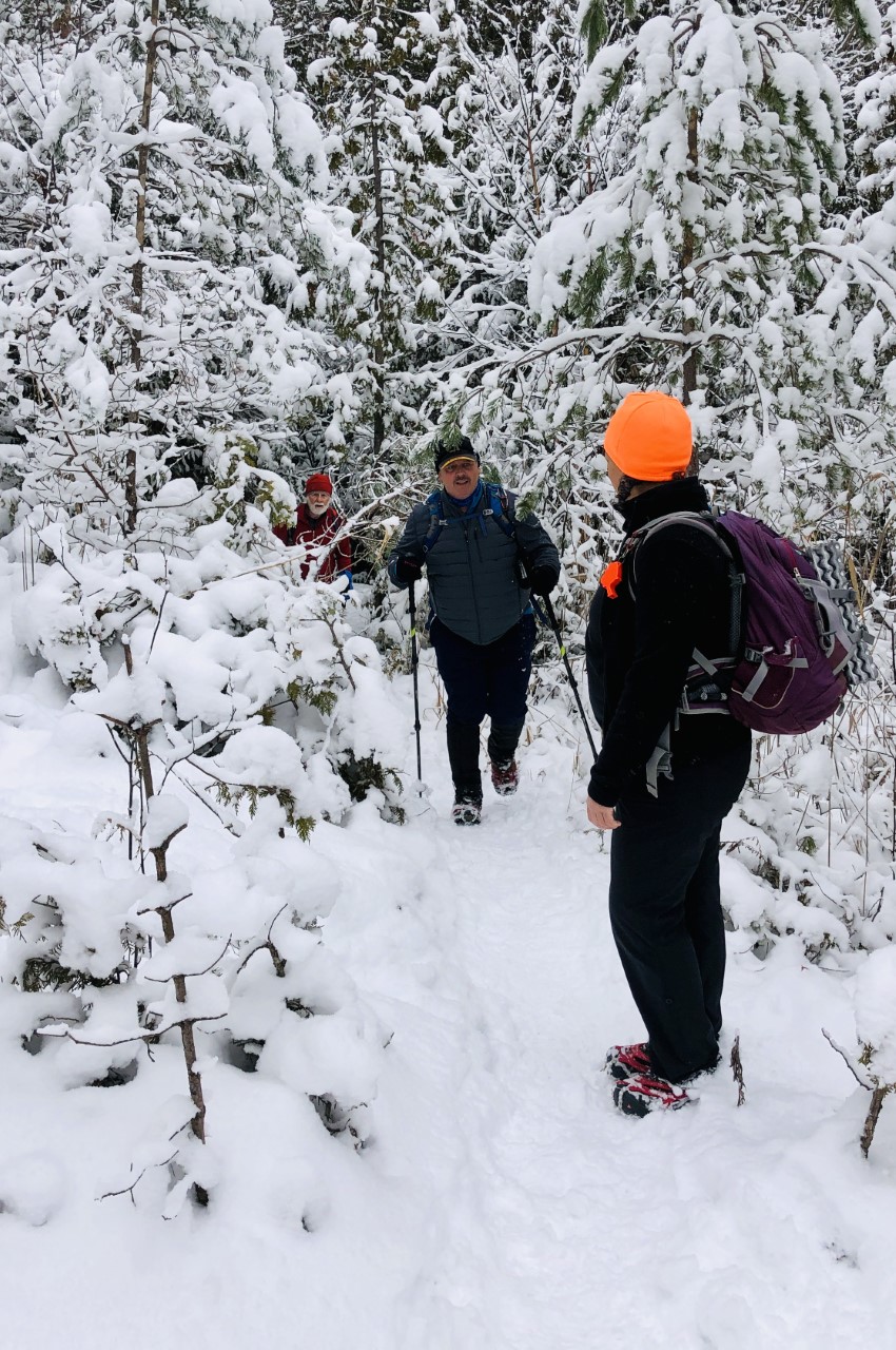
Car Hike: Greenwood Conservation Area
https://hikesstaging.brucetrail.org/event/car-hike-greenwood-conservation-area-2/Sorry, the registration cut-off time for this hike has been reached.Not a member? Click here to join today!Hosting Club: Toronto
Category: Car Hike
Location (Google Maps):Greenwood Conservation Area
Parking lot off of Greenwood Road west of Westney Road in Ajax. If coming from the 401(south) make a left on Greenwood Rd, then another left at the corner(also called Greenwood Rd), then a right into the parking lot.
Hike Leader(s): Glynn Richardson, Jacqueline Van Dyke Click here to contact Hike Leader(s)
Pace: Moderate (3-4 km/hr)
Distance: 10-14 km
Description
We’ll spend the morning and early afternoon exploring Greenwood Conservation Area.Bring snacks, lunch, water. Hiking boots and trail crampons(icers) are MANDATORY. We’ll determine at the parking lot whether trail crampons will be needed. If deemed needed and you don’t have them then you will not be allowed to participate. Hiking poles and gaitors are highly recommended.
Check the weather in advance and layer accordingly.
There will be no dropouts and no dogs allowed.
Registered participants are to arrive 15 minutes prior to the hike for briefing
Space is limited.
- 07December 7, 2024
car Hike: Seaton Trail Pickering
https://hikesstaging.brucetrail.org/event/car-hike-seaton-trail-pickering-2/Sorry, the registration cut-off time for this hike has been reached.Not a member? Click here to join today!Hosting Club: Toronto
Category: Car Hike
Location (Google Maps): Free parking lot at 1 Mutual Street Pickering,Hike Leader(s): Mohammad Aghamiri Click here to contact Hike Leader(s)
Pace: Moderate (3-4 km/hr)
Terrain: Level 2 (Intermediate – some hills and uneven surfaces, rocks and roots underfoot), Variable
Distance: 14-17 kmDescription
We will hike along the Seaton trail and enjoy the lovely scenery of forest and river all at the same time.8:30 Merritt Trail Series #1
https://hikesstaging.brucetrail.org/event/830-merritt-trail-series-1/Sorry, the registration cut-off time for this hike has been reached.Not a member? Click here to join today!Hosting Club: Niagara
Category: Car Pool
Location (Google Maps): Meet at Merritt Island Parking lot and carpool to Smoking Buddha Restaurant, 265 King St., Port ColborneHike Leader(s): Lauren Doig Click here to contact Hike Leader(s)
Pace: Brisk
Terrain: Easy
Distance: 15 kmDescription
Hike all 3 hikes to receive the Merritt Trail Badge. Plan to arrive at meeting location 15 minutes early to coordinate car-pooling. Bring water and a snack. Dress for the weather. Hike is mostly on paved roads and paths.Dufferin Delights - Boyne Valley to Mono Centre
https://hikesstaging.brucetrail.org/event/dufferin-delights-boyne-valley-to-mono-centre/Sorry, the registration cut-off time for this hike has been reached.Not a member? Click here to join today!Hosting Club: Dufferin Hi-Land
Category: General Hike
Location (Google Maps): Mono Community Centre, 200 m south of Mono Centre (County Road 8).Hike Leader(s): Stuart Law Click here to contact Hike Leader(s)
Pace: Medium
Terrain: Slippery Sections Likely, Moderate
Distance: 17.6 kmsDescription
Join us on the third of our three hikes to explore the Dufferin Section. We journey from the Boyne Valley, past Murphy’s Pinnacle and into Mono Cliff Provincial Park for a lesson on glaciers. Please dress for the weather – that may include snow and ice. Pack your icers, a snack, a lunch, a warm drink, some water and a smile. Hiking boots mandatory. Poles recommended. Please bring a change of footwear and a garbage bag for the shuttle. Please be prepared to drive other hikers too for the shuttle. Please arrive at 9:00 am to be ready to shuttle at 9:15.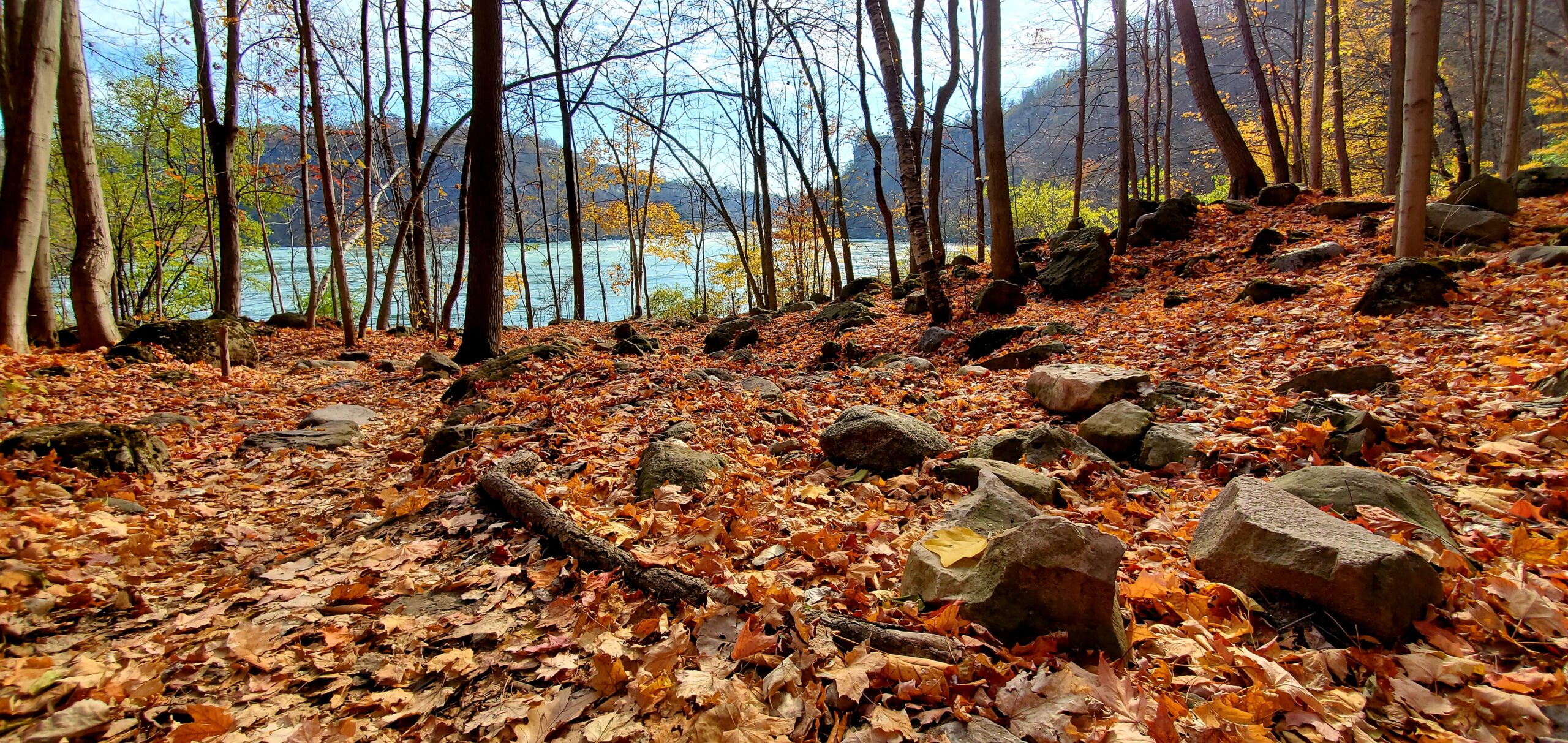
Niagara Glen Hike
https://hikesstaging.brucetrail.org/event/niagara-glen-hike/Sorry, the registration cut-off time for this hike has been reached.Not a member? Click here to join today!Hosting Club: Niagara
Category: Loop
Location (Google Maps): Meet at the Niagara Glen Nature Centre parking lot, 3050 Niagara Parkway, Niagara Falls. This is located between the Whirlpool Golf Course and the Niagara Botanical Gardens, on the river side of the Niagara Parkway. Parking fees may apply.Hike Leader(s): Dan Wilson Click here to contact Hike Leader(s)
Pace: Medium
Terrain: Strenuous
Distance: 10kmDescription
Hike deep in the Niagara Gorge, along stairways cut into the rock and rugged paths that wind through this pristine pocket of Carolinian Forest. View ancient geological formations and fossils dating back millions of years, while hiking along the turbulent rapids of the Niagara River. This is a strenuous hike and there is a chance hikers will get wet. Depending on weather conditions, bring water, a snack, icers, gaiters and hiking poles, if necessary. Dress in layers. 🙂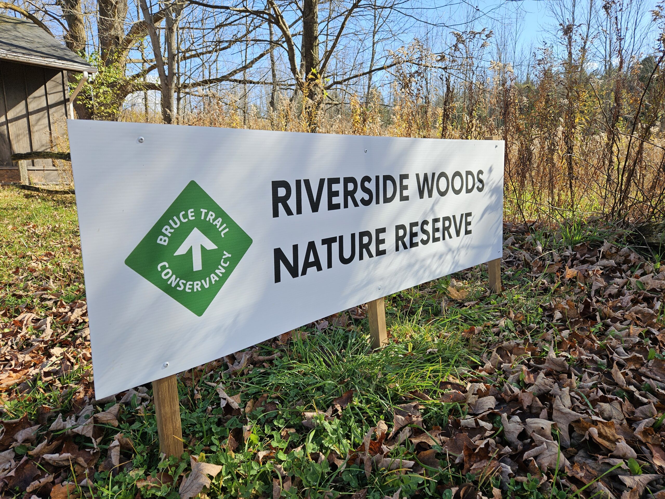
Saturday Shorts: Riverside Woods
https://hikesstaging.brucetrail.org/event/saturday-shorts-riverside-woods-2/Sorry, the registration cut-off time for this hike has been reached.Not a member? Click here to join today!Hike open to BTC Members only.
Hosting Club: Caledon Hills
Category: General
Location (Google Maps): Meet at 9:30 am at the BTC parking lot, 713377 1st Line EHS, Mono. Go north on 1st Line from Side Road 5. 1st Line will be not be accessible going south from Hockley Road.Hike Leader(s): Elizabeth Ganong Click here to contact Hike Leader(s)
Pace: Medium – 3 to 4 km/hour
Terrain: Easy – mostly flat and usually good footing, Moderate – some hills and/or some poor footing
Distance: Between 4 and 5 kmDescription
Looking to get out on a Saturday but not give up your whole day? Saturday Shorts, a hiking series, will get you out in a small group on a short hike. This Saturday’s hike mainly uses Bruce Trail side trails to explore Riverside Woods Nature Reserve. Depending on trail conditions, we’ll hike for between 4 and 5 km. Please dress for the weather. Icers and hiking poles are recommended. However, we’ll be taking a shorter and gentler route if the trails are snowy and/or icy. Bring water and a snack, if desired. There will be a short break. No dogs please.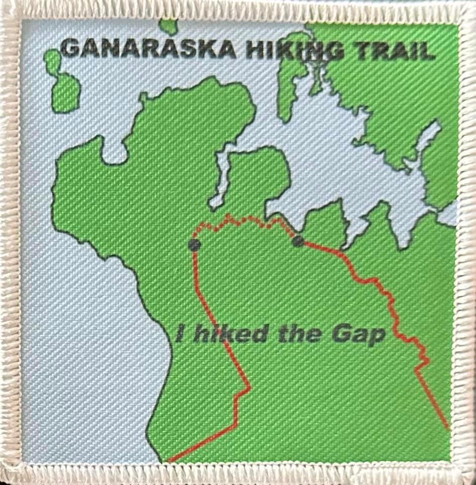
****POSTPONED**** Ganaraska Trail - The Gap ****POSTPONED****
https://hikesstaging.brucetrail.org/event/ganaraska-trail-the-gap/Sorry, the registration cut-off time for this hike has been reached.Not a member? Click here to join today!Hosting Club: Iroquoia
Category: Special Event
Location (Google Maps): We will meet at Sainte Marie Among the Hurons and proceed to the north end of Tiny Trail. Please arrive by 9:45am for a 10am departure to our hike start.Hike Leader(s): Ruth Moffatt Click here to contact Hike Leader(s)
Pace: Brisk – 4 to 5 km/hr, Medium – 3 to 4 km/hr
Terrain: Dependent on Conditions, Moderate – Some hills and/or some poor footing
Distance: 18kmDescription
This is a group hike with a car shuttle. Please be prepared to participate in the shuttle by ensuring you have 4 available seatbelts, including the driver’s. Please bring enough food and water for an 18km hike, including lunch. Badges will be available on completion with proceeds going to the Ganaraska Hiking Club. Please bring $7 exact change for the badge. Depending on the terrain, we will hike at a fairly steady, quick pace. Please ensure you are physically able for the distance and the pace before signing up for this hike. There are no dropouts – if you cannot complete the hike, you will be responsible for your own way back and expense to your car. The terrain is varied – trail and asphalt. Please bring your icers and prepare for wet, cold weather, possibly. If the weather is too risky for travel, all registered hikers will be notified by email ahead of the hike. An alternative date will be set.Urban Walk; Victoria Park subway station to Sunnybrook Park
https://hikesstaging.brucetrail.org/event/urban-walk-victoria-park-subway-station-to-sunnybrook-park/Sorry, the registration cut-off time for this hike has been reached.Not a member? Click here to join today!Hosting Club: Toronto
Category: Urban Walk
Location (Google Maps):Start at Victoria Park subway station ticket collector. Several dropouts along the way. Final destination is Sunnybrook Health Centre on Bayview Ave
Hike Leader(s): Ray Berzins Click here to contact Hike Leader(s)
Pace: Moderate (3-4 km/hr)
Terrain: Flat, Level 1 (Easy – mostly on flat, well maintained trails with hard-packed surface)
Distance: 8.5 kmDescription
From Victoria Park subway we shall walk northeast along the Taylor Creek to the Don River, follow the West Don River to Sunnybrook Park. At Sunnybrook Health Centre on Bayview Ave is TTC #11 bus that connects with Davisville subway station and TTC #124 bus that connects with Lawrence subway.We shall have a picnic halfway so bring a sandwich and a thermos.
Check your email at 8AM on day of hike to verify hike status.
Fossil Glen
https://hikesstaging.brucetrail.org/event/fossil-glen/Sorry, the registration cut-off time for this hike has been reached.Not a member? Click here to join today!Hosting Club: Sydenham
Category: General Hike
Location (Google Maps): Trailhead at corner of East Linton Sideroad W. and Sarawak/Keppel Townline (accessed from Grey County Rd 1). Park on north and west side of the bend.Hike Leader(s): Carol Graham-Mullin Click here to contact Hike Leader(s)
Pace: Leisurely: 3 km/h or less
Terrain: Easy: Mostly flat and good footing., Moderate: Some hills and/or poor footing, Strenuous: Hilly with steep climbs and some poor footing.
Distance: 2.3 kmDescription
Loop hike featuring fossils, crevices, and a historic homestead. The group may choose to lengthen the hike to include the southern extension of the main trail including the pond. Poles recommended and ice grips for your boots if there are icy conditions.Youth Hiking Program - Discovery Hike - Cottonwood Loop
https://hikesstaging.brucetrail.org/event/youth-hiking-program-discovery-hike-cottonwood-loop/Sorry, the registration cut-off time for this hike has been reached.Not a member? Click here to join today!Hosting Club: Sydenham
Category: Family Hike
Location (Google Maps):Roadside parking on the east side of 11 Line, approximately 3 km north of Highway 26, at the entrance to the Cottonwood Side Trail, Map 30, Edition 31
Carpooling may be available upon request.
Hike Leader(s): Jeannine Kralt Click here to contact Hike Leader(s)
Pace: Leisurely: 3 km/h or less
Terrain: Easy: Mostly flat and good footing.
Distance: 2.1kmDescription
This hike will be a discovery hike along the Cottonwood Loop – we’ll take our time, and see what we can find. This trail is a stand-alone trail, separate from the rest of the Bruce Trail. We’ll hike through forests, past a particularly large cottonwood tree, and to a lookout along a ridge. This property is the original location of the Rows homestead – their farmhouse can be seen at Moreston Village at Grey Roots.The Cottonwood Loop counts towards the Junior Hiker badge and is also featured in Ron Savage’s new book, Exploring Sydenham. There will be sufficient time to find the related code en route.
As we’ll be taking our time, this hike is suitable for families, new hikers, and anyone wanting a more leisurely hike. We’ll likely take an hour or two, depending on the group – dress in layers, bring a snack, and wear good footwear. Given that December can be variable, an email re: trail conditions to expect will be sent out prior to our hike together.
If you are unable to register, please contact the hike leader via the link above.
Urban Walk: Toronto Island By Night
https://hikesstaging.brucetrail.org/event/urban-walk-toronto-island-by-night-2/Sorry, the registration cut-off time for this hike has been reached.Not a member? Click here to join today!Hosting Club: Toronto
Category: Urban Walk
Location (Google Maps):Jack Layton Ferry Terminal, foot of Bay Street. Take any streetcar from Union Subway Station one stop to Ferry Docks Station, cross Queen Quay at lights and walk south.
Hike Leader(s): Tom Swales, Felix Wan, Daniela Da Paz Click here to contact Hike Leader(s)
Pace: Leisurely (2-3 km/hr)
Terrain: Flat, Level 1 (Easy – mostly on flat, well maintained trails with hard-packed surface)
Distance: 9 kmDescription
- Join us for a leisurely walk on The Toronto Islands from Ward Island to the Gibraltar Point Lighthouse, returning via the paths and trails along the northern side with great views of the city at night. Route: https://onthegomap.com/s/rdt1vns0
Please bring a headlamp or flashlight. Icers are strongly recommended but keep an eye on the weather forecast. The lake side of the island is generally breezy so dress in layers. Bring a litre of water and possibly snacks.
After the walk we’ll head to a restaurant/pub near the ferry terminal for refreshments and fellowship.
We will take the Ward Island Ferry scheduled for 3:30 pm, please arrive at the Jack Layton Terminal by 3:15.
Fares: Adult Return, $9.11 ; Senior Return (65+), $5.86 ; Youth Return (under 19 with ID), $5.86 ; Junior Return (under 14), $4.29. You can purchase your ticket online at: https://secure.toronto.ca/FerryTicketOnline/tickets2/index.jsp
Our aim will be to catch the 6:45 return ferry from Ward Island so we can be at the Fox on Bay Pub by about 7:15. Please email Tom at tjswales@gmail.com if you want to join us at the restaurant so we can provide them with an accurate count.
The Fox, 35 Bay. https://www.foxonbay.ca/