
Hike Schedule
Join us for a hike! Registration required.
All hikes available to BTC members. Some hikes are open to non-members.
See Refund Policy for Paid Hikes >
TIP: The calendar view displays up to 7 hikes on a day, but often there are more. Click “View more events” to see them all.
Categories
- 05November 5, 2024
Urban Walk: Valley View Park Thornhill
https://hikesstaging.brucetrail.org/event/urban-walk-valley-view-park-thornhill-30/Sorry, the registration cut-off time for this hike has been reached.Not a member? Click here to join today!Hosting Club: Toronto
Location (Google Maps): Parking lot at the corner of Bayview Ave, and Sycamore Dr. South of Highway 7
Sycamore Dr. is 3blocks south of highway 7 and 2 blocks north of John Street, parking lot is across plaza of Dollarama and Star boxHike Leader(s): Mohammad Aghamiri Click here to contact Hike Leader(s)
Pace: Moderate (3-4 km/hr)
Terrain: Level 2 (Intermediate – some hills and uneven surfaces, rocks and roots underfoot)
Distance: 7-8 kmDescription
We will explore Valleyview and Maple view parks, and walk along German Mill Creek, for a distance of 7-8 km. Difficulty Level: 2 (Moderate)9:00 Long Hike Wiley Road Short Hills
https://hikesstaging.brucetrail.org/event/900-long-hike-wiley-road-short-hills-4/Sorry, the registration cut-off time for this hike has been reached.Not a member? Click here to join today!Hosting Club: Niagara
Location (Google Maps):
Short Hills Wiley Road Entrance
Pace: Medium
Terrain: Moderate
: 10kmDescription
Explore Short Hills and the majestic side trails of Scarlett Tanager, Hemlock. Swayze Falls and Terrace. Register for each hikeBring Poles, Icers, snack, and dress for the weather
Caledon Hills Section in Six Hikes
https://hikesstaging.brucetrail.org/event/caledon-hills-section-in-six-hikes-7/Sorry, the registration cut-off time for this hike has been reached.Not a member? Click here to join today!Hike open to BTC Members only.
Hosting Club: Caledon Hills
Category: End-to-End
Location (Google Maps): Meet at 9:15 am at Mono 5 Sideroad parking, km 45.4, where the trail crosses. Shuttle to start at Hockley Rd.Hike Leader(s): Elizabeth Ganong and Doris Harper Click here to contact Hike Leader(s)
Pace: Medium – 3 to 4 km/hour
Terrain: Moderate – some hills and/or some poor footing, Strenuous – hilly with steep climbs and some poor footing
Distance: 61.1 – 45.4 + 0.250 from parking = 16 km totalDescription
This is the re-scheduled second hike in the series and takes us through the Hockley Valley Resort, pine plantations, hills and valleys.Please be prepared to help with shuttling hikers at the beginning and at the end of the hike. Bring water and snacks. There will be a break. No dogs please.
Participants who complete all 6 hikes with the co-leaders, Doris Harper and Elizabeth Ganong, will be eligible to purchase the 60th Anniversary End to End badge and the 60 for the 60th Anniversary badge from the hike leaders at the end of the 6th hike. Hike one, a few, or all 6 hikes. Join any hike, complete the rest on your own, and record the hikes in a log. Check the CHBTC website for submission details.
Please note: This hike was originally posted for September 24th.
9:15 Short Hike - Short Hills Park, Pelham Rd
https://hikesstaging.brucetrail.org/event/915-short-hike-short-hills-park-pelham-rd-14/Sorry, the registration cut-off time for this hike has been reached.Not a member? Click here to join today!Hosting Club: Niagara
Category: Loop
Location (Google Maps): Pelham Rd entrance, Short Hills Provincial ParkHike Leader(s): Debbie Demizio Click here to contact Hike Leader(s)
Pace: Medium
Terrain: Moderate
Distance: ~ 6kmsDescription
Hike the main and side trails in Short Hills Provincial Park. Bring hiking boots, water, and sunscreen.Mono Cliffs, Map 19
https://hikesstaging.brucetrail.org/event/mono-cliffs-map-19-4/Sorry, the registration cut-off time for this hike has been reached.Not a member? Click here to join today!Hosting Club: Caledon Hills
Category: Tuesday Hikers
Location (Google Maps): Mono Community Centre Parking, just south of Mono Centre.
Driving direction: From Highway 410 go north, continue on Highway 10, pass through Orangeville, continue to Mono Centre Rd. (8), turn right, road will merge with 2nd Line EHS north, parking on the right just before Mono Centre.Hike Leader(s): Mohammad Shafiq Click here to contact Hike Leader(s)
Pace: Medium – 3 to 4 km/hour
Terrain: Moderate – some hills and/or some poor footing
Distance: 13 kmDescription
Will hike the main Bruce Trail, South Outlier, Walter Tovell, McCarston’s Lake and Lookout Side Trails.
Bring water, snack, bug spray and sun protection. Poles recommended.Tuesday Hikes 20 Year Anniversary End-to-End - Hike 8
https://hikesstaging.brucetrail.org/event/tuesday-hikes-20-year-anniversary-end-to-end-hike-8/Sorry, the registration cut-off time for this hike has been reached.Not a member? Click here to join today!Hosting Club: Dufferin Hi-Land
Category: Tuesday Hike
Location (Google Maps):Dufferin Hi-Land Map 21, Km 46.7. Meet at roadside parking on Centre Rd, about 1 km south of Dufferin Rd 21.
Hike Leader(s): Inge Eckerich;Les Babbage;Julie Daley;Tony Evangelista Click here to contact Hike Leader(s)
Pace: Leisurely
Terrain: Moderate, Slippery and Steep Sections
Distance: 4.8 km; Drop out at Km 45.3 can be arranged (3.6 km) Note: A recent trail reroute has shortened the distance from what is shown in Edition 31Description
In 2004 a group of Dufferin Hi-Land BTC members began organizing Tuesday hikes. For their first venture, they hiked a 10 hike/10 week end-to-end series of the DH section. Join us as we recreate this series to celebrate the 20th anniversary of Tuesday hiking and recognize the pioneers who started it all.Hike 8 takes us through woods and open fields north, then east to Centre Rd parking. We will car shuttle from Centre Rd back to Prince of Wales and 20 Sideroad parking.
Bring water and snacks.
Re-scheduled: 60 for the 60th Anniversary Badge Hike Series - #9 of 10
https://hikesstaging.brucetrail.org/event/re-scheduled-60-for-the-60th-anniversary-badge-hike-series-9-of-10/Sorry, the registration cut-off time for this hike has been reached.Not a member? Click here to join today!Hosting Club: Caledon Hills
Category: General
Location (Google Maps): 7th Line parking area located off 7th Line, immediately east of Airport Rd.; km 43.3, Map 18.Hike Leader(s): Joyce Redford Click here to contact Hike Leader(s)
Pace: Leisurely – 3 km/hour or less
Terrain: Moderate – some hills and/or some poor footing
Distance: 6 kmDescription
Join Joyce and Louise on this 2 hour, 6 km hike which is the 9th in the series of hikes for the new “60 for the 60th Anniversary” badge. We will hike south towards Hwy 9 and back. Hike one, a few, or all 10 hikes. Join any hike and make up the rest on your own as long as a record is kept of their hikes to submit on completion to obtain their badge. Participants who complete all 10 hikes will be eligible to purchase the “60 for the 60th” badge.
Bring poles, and hydration. - 06November 6, 2024
Caledon Hills E2E (with some km's in Toronto Section)
https://hikesstaging.brucetrail.org/event/caledon-hills-e2e-with-some-kms-in-toronto-section/Sorry, the registration cut-off time for this hike has been reached.Not a member? Click here to join today!Hike open to BTC Members only.
This is a Multi-Day Hike
You are signing up for the following dates and times:
2024-11-06 at 07:30
2024-11-12 at 07:30
2024-11-13 at 07:30
2024-11-18 at 07:30Hosting Club: Iroquoia, Caledon Hills
Category: End-to-End
Location (Google Maps): BT Parking on east side of 5th Line EHS , south of Hockley Rd. (Capacity 10)Hike Leader(s): Heather Murch Click here to contact Hike Leader(s)
Pace: Brisk – 4 to 5 km/hour
Terrain: Strenuous – hilly with steep climbs and some poor footing
Distance: 20.6 kmDescription
This is the sixth section in our Cairn to Cairn hike series this fall. Heather Murch and Steven White are co-leading these hikes. Strong hikers are welcome to join for sections or individual hikes, but will need to register for each end to end section series. This series of hikes are 20-24 kms per day and due to parking or hike length, some hikes cover more than one section.We meet at 7:30 – hikers should be ready to shuttle at that time. We will take turns and everyone is expected to participate in the shuttling. Any parking costs will be shared.
Hikers should wear layered clothing, bring rainwear, poles, hiking boots, hat, water, snacks, lunch, bug spray, sunblock and be prepared for changing weather this time of year.
Hiking itinerary with parking coordinates will be emailed to registered hikers.
Walter's Falls: Hike and Lunch
https://hikesstaging.brucetrail.org/event/walters-falls-hike-and-lunch/Sorry, the registration cut-off time for this hike has been reached.Not a member? Click here to join today!Hosting Club: Beaver Valley
Location (Google Maps): Meet in the parking lot of Walter’s Falls Inn
Hike Leader(s): Margaret Yaraskavitch Click here to contact the hike leader.
Pace: Medium
Terrain: Moderate, Some rocky footing, Some steep sections
Length of Hike: 3.5kmDescription
Walter’s Falls Inn is a popular dining place! We’ll walk from Walter’s Falls through cedars along Walter’s Creek. After hiking on the Walter’s Falls Side Trail, we’ll take in part of the Main Trail and then loop back on the Side Trail. We’ll see historic features of the old saw mill. Hike participants can come for just the hike or do the hike and be part of the lunch group. A group reservation will need to be made in advance.COVID-19 Precautions Before, During and After your Hike
- Each hiker joining a Bruce Trail Club organized hike must perform a self-screening check before hiking.
Find Ontario’s self-assessment tool here: https://covid-19.ontario.ca/self-assessment/ - If you are experiencing COVID-19 symptoms, stay home.
Other Guidelines
- Arrive 15 minutes before the start of the hike.
- Wear sturdy footwear and appropriate attire for the weather and the terrain.
Hiking poles are a good idea in any season, especially if the terrain is rocky or slippery. In winter, snowshoes or icers/crampons are needed when conditions dictate.
Wearing appropriate clothing and footwear prevents injuries and shows consideration for a safe and positive group hiking experience. - Always carry I.D. and your health card.
- Bring sufficient water and snacks (or lunch if indicated). A minimum of 1L of water is recommended on all hikes, and 3L is recommended for long, challenging hikes in the heat of the summer.
- Bring sunscreen and insect repellent (for spring and summer hikes).
- Bring your own first aid kit.
- Please leave dogs at home.
Evening Hike in Owen Sound followed by an Opportunity for Refreshments
https://hikesstaging.brucetrail.org/event/evening-hike-in-owen-sound-followed-by-an-opportunity-for-refreshments-10/Sorry, the registration cut-off time for this hike has been reached.Not a member? Click here to join today!Hosting Club: Sydenham
Category: An evening walk.
Location (Google Maps): Meet in the municipal parking lot by the river on the West side of First Avenue East between 7th St East and 8th St East in Owen Sound.Hike Leader(s): Harriet Nixon Click here to contact Hike Leader(s)
Pace: Brisk: 4 to 5 km/h
Terrain: Moderate: Some hills and/or poor footing, There might be icy and slippery sections.
Distance: Approx 5 kmDescription
Join us for a brisk evening walk exploring paths and neighbourhoods of Owen Sound, followed by an opportunity for refreshments. There is no need to show up 15 minutes early for this hike, but we will leave promptly at 7:00 pm. Please bring icers if there are icy conditions. - Each hiker joining a Bruce Trail Club organized hike must perform a self-screening check before hiking.
- 07November 7, 2024
Urban Walk: Valley View Park Thornhill 52
https://hikesstaging.brucetrail.org/event/urban-walk-valley-view-park-thornhill-31/Sorry, the registration cut-off time for this hike has been reached.Not a member? Click here to join today!Hosting Club: Toronto
Location (Google Maps): Parking lot at the corner of Bayview Ave, and Sycamore Dr. South of Highway 7
Sycamore Dr. is 3blocks south of highway 7 and 2 blocks north of John Street, parking lot is across plaza of Dollarama and Star boxHike Leader(s): Mohammad Aghamiri Click here to contact Hike Leader(s)
Pace: Moderate (3-4 km/hr)
Terrain: Level 2 (Intermediate – some hills and uneven surfaces, rocks and roots underfoot)
Distance: 7-8 kmDescription
We will explore Valleyview and Maple view parks, and walk along German Mill Creek, for a distance of 7-8 km. Difficulty Level: 2 (Moderate)9:00 am Long Hike Jordan to Moyer / Louth
https://hikesstaging.brucetrail.org/event/900-am-long-hike-jordan-to-moyer-louth/Sorry, the registration cut-off time for this hike has been reached.Not a member? Click here to join today!Hosting Club: Niagara
Category: In and Out
Location (Google Maps):Jordan Hollow Park 3039 King St Jordan
Hike Leader(s): Alan Laver Click here to contact Hike Leader(s)
Pace: Medium
Terrain: Moderate
Distance: 10kDescription
From Jordan Hollow Hike the main trail to Upper and Lower Balls Falls, Moyer Road or Louth and Return. You must register for each hike. Bring Poles, snack and a drink and dress for the weatherHiking Around Jordan
https://hikesstaging.brucetrail.org/event/hiking-around-jordan-7/Sorry, the registration cut-off time for this hike has been reached.Not a member? Click here to join today!Hosting Club: Niagara
Category: Hike
Location (Google Maps): Jordan Hollow, across from Boo’s Restaurant
Now known as Shoarishon ParkHike Leader(s): Bill Russell Click here to contact Hike Leader(s)
Pace: Medium
Terrain: ModerateDescription
Hiking various trails in and around Jordan, (Balls Falls, Jim Rainforth Trail and Bailey Bridge through the Village of Jordan.Niagara Glen Short and Sassy
https://hikesstaging.brucetrail.org/event/niagara-glen-short-and-sassy-3/Sorry, the registration cut-off time for this hike has been reached.Not a member? Click here to join today!Hosting Club: Iroquoia
Category: Thursday Group
Location (Google Maps):Niagara Glen, 3050 Niagara Parkway, Niagara-on-the-Lake, ON
Hike Leader(s): Craig Sim Click here to contact Hike Leader(s)
Pace: Medium – 3 to 4 km/hr
Terrain: Moderate – Some hills and/or some poor footing
Distance: 6-7k (approximate)Description
Loop hike in beautiful Niagara Glen, NOT using Whirlpool Trail. We meet in between Niagara Glen parking lot and building near lot. Pay parking or Niagara parks pass. Trail ranges from moderate to quite rocky, has hills and stairs. Watch footing. Lots of boulders and great views close to Niagara River. We descend steel stairs before and after hike. Wear hiking boots or shoes. Bring water, snack, appropriate layered clothing for the weather and rain gear. Optional beverage/food after. Niagara Glen is close to both Butterfly Conservatory and Floral Clock. - 08November 8, 2024

Car Hike: Caledon E2E in 5 sections - 4 of 5
https://hikesstaging.brucetrail.org/event/car-hike-caledon-e2e-in-5-sections-4-of-5/Sorry, the registration cut-off time for this hike has been reached.Not a member? Click here to join today!Hosting Club: Iroquoia, Caledon Hills
Category: General Hike
Location (Google Maps): Park at km 61.3, on the north side of Hockley Rd at the Hockley Rd Side trail, and we carpool to km 45.5Hike Leader(s): Susan Glofcheskie Click here to contact Hike Leader(s)
Pace: Medium – 3 to 4 km/hr
Terrain: Moderate – Some hills and/or some poor footing
Distance: 16 kmDescription
Join us for this Caledon E2E in 5 sections. Sign up for all 5 sections (to be entitled to the badge) or only the ones you are available for.Please bring 2 litres of water, a snack, bug spray, sunscreen, a personal first-aid kit and appropriate clothing. Hiking boots/shoes are mandatory and poles are suggested.
Please arrive by 8 am, so we can leave at 8:15 am to shuttle to our starting point.
Click on the Google link for directions to the meeting place.

Niagara-on-the-Lake Tour
https://hikesstaging.brucetrail.org/event/niagara-on-the-lake-tour-62/Sorry, the registration cut-off time for this hike has been reached.Not a member? Click here to join today!Hosting Club: Niagara
Category: Urban
Location (Google Maps): Meet on King St & Centre St (outside Veteran’s Memorial Park)Hike Leader(s): Margaret Northfield Click here to contact Hike Leader(s)
Pace: Medium
Terrain: Easy
Distance: 5-6kmDescription
Each Friday we will explore different neighbourhoods, trails and parkland throughout Historic Niagara-on-the-Lake.Moderate pace with some weeks entirely on sidewalks and roads while others may include a mix of trails and paved pathways. Great way to build up endurance for longer more strenuous hikes.
Prepare for cooler windy conditions on open parkland and along Lake Ontario and Niagara River trails.
Plan to stay for conversation and a warm cup of coffee or tea at Sweets & Swirls, Community Centre, Niagara Stone Road, NOTL
Margaret & Robin
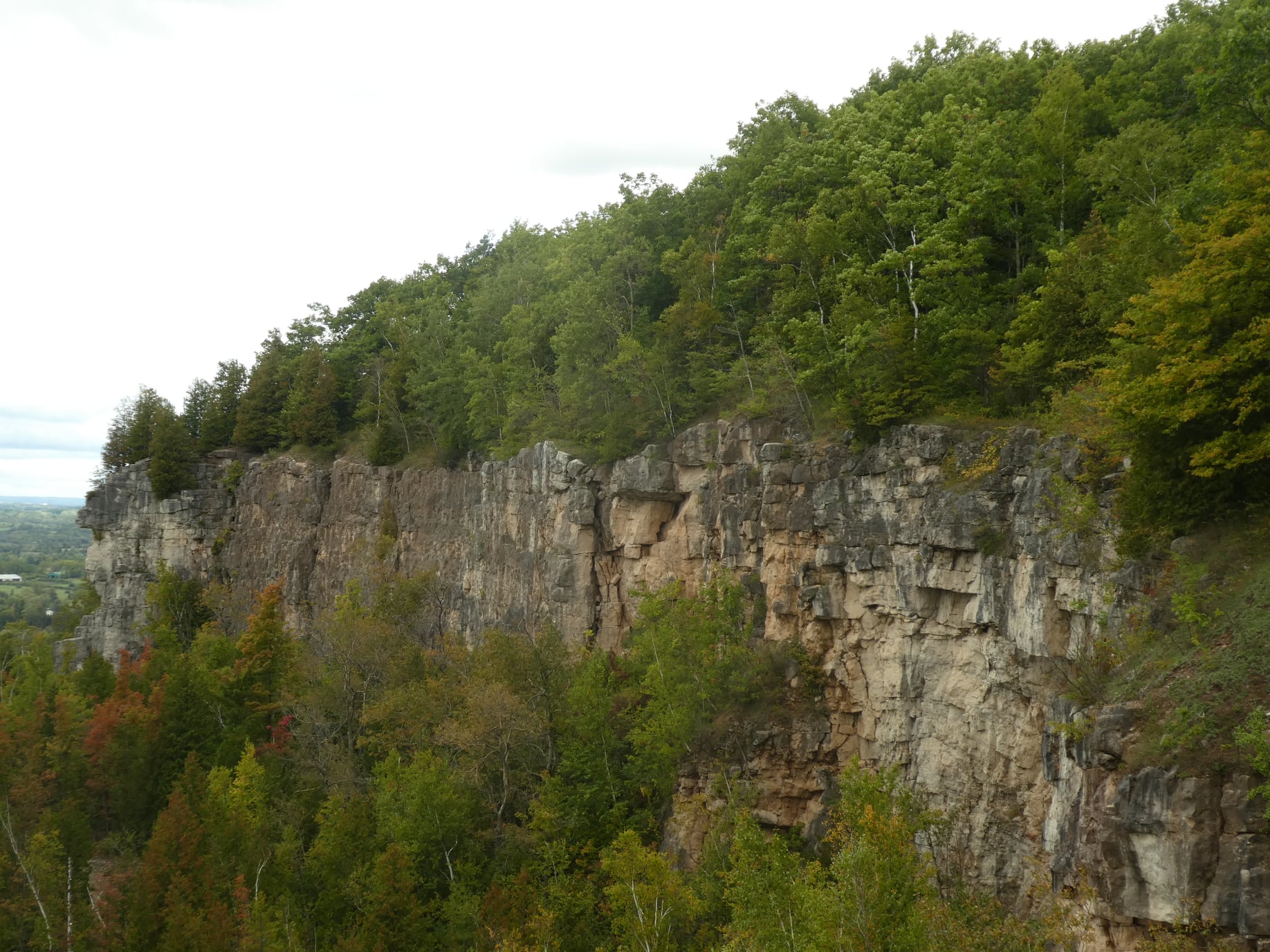
Kelso Summit (reservation required)
https://hikesstaging.brucetrail.org/event/kelso-summit-reservation-required-2/Sorry, the registration cut-off time for this hike has been reached.Not a member? Click here to join today!Hosting Club: Iroquoia
Category: General Hike
Location (Google Maps): Kelso Summit parking lot at 9:15 amHike Leader(s): Karen Bergmann Click here to contact Hike Leader(s)
Pace: Medium – 3 to 4 km/hr
Terrain: Moderate – Some hills and/or some poor footing
Distance: 8 kmsDescription
We will explore the trails for a large loop. Reserve your time at conservationhalton.ca for KELSO SUMMIT.