
Hike Schedule
Join us for a hike! Registration required.
All hikes available to BTC members. Some hikes are open to non-members.
See Refund Policy for Paid Hikes >
TIP: The calendar view displays up to 7 hikes on a day, but often there are more. Click “View more events” to see them all.
Categories
- 09April 9, 2023
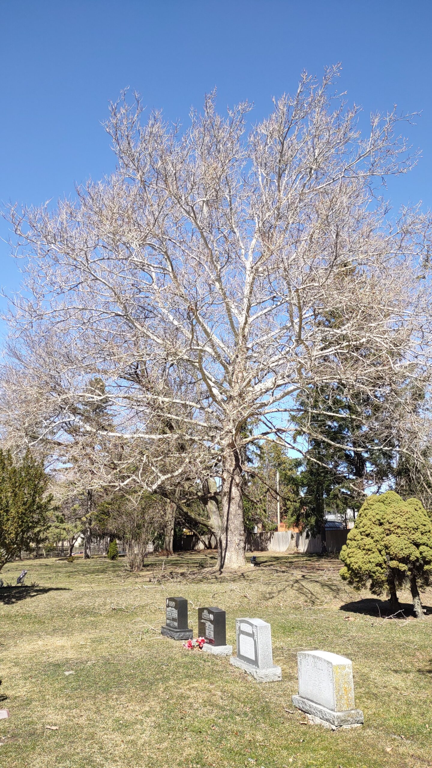
Urban Walk: First Signs of Spring Hike: Prospect Cemetery to Rosedale Subway Stn. via Cedervale Ravine
https://hikesstaging.brucetrail.org/event/urban-walk-first-signs-of-spring-hike-prospect-cemetery-to-rosedale-subway-stn-via-cedervale-ravine/Sorry, the registration cut-off time for this hike has been reached.Not a member? Click here to join today!Hosting Club: Toronto
Category: Urban Walk
Location (Google Maps): Meet on front of the Joseph J. Piccininni Community Centre, on the South side of St. Clair Ave. W., west of Landsdowne Ave.Hike Leader(s): Andrew Proczek; Mehrnoush Ahmadi Click here to contact Hike Leader(s)
Pace: Moderate
Terrain: Hilly, Variable
Distance: 12 kmDescription
Join me and apprentice hike leader, Mehrnoush Ahmadi, for the second of three connecting Toronto urban hikes, often hiked by Wayne Crockett. Part 1 took us from Castle Frank Subway Station to the end of the Kay Gardiner Beltline. In Part 2 we will hike the length of Prospect Cemetery from south to north, eventually linking up with the York Beltline which will take us in proximity to the end of Part 1. This section through the cemetery is challenging with its share of hills and ups and downs. The remainder of the hike will be relatively easier as we move our way east and then south and southeast through the Cedervale and Nordheimer Ravines. We will stop for Lunch at the Loblaws on St Clair before rejoining the ravine system and continuing southeast to Roycroft Park, emerging in the Republic of Rathnelly. Wayne jokingly commented on his FB page, “There was a revolution and no one called me?” From there we will link up with Ramsden Park to finish the hike at Rosedale Subway Station.
Public washrooms at the start of the hike at Joseph J. Piccininni Community Centre will be closed because of the holiday. Please try to find a washroom on route to the hike.
The route: https://onthegomap.com/s/cjlrn95r
Migration Monitor Hike
https://hikesstaging.brucetrail.org/event/migration-monitor-hike-5/Sorry, the registration cut-off time for this hike has been reached.Not a member? Click here to join today!Hosting Club: Peninsula
Location (Google Maps): Parking for all hikes start at km 109.7, 30th Ed Ref Manual. Park adjacent to Cape Chin Mail boxes on Cape Chin North Road
Hike1 (Mar 12, 26, Apr 9): Otter Lake/Cape Chin Loop – see details below
Hike 2 (Mar 19, Apr 2, Apr 16): Borchardt/Cotrill Lk Loop – see details belowHike Leader(s): Tamara Wilson Click here to contact Hike Leader(s)
Pace: Leisurely
Terrain: Difficult
Distance: Each hike ranges 10 to 12 kmDescription
Join us as we look for clues of spring’s arrival on Cape Chin North. We will alternate two routes on a weekly basis, watching for seasonal changes along the wetlands, small inland lakes, woodlands and escarpment shoreline. We will stop, look and listen for the arrival of plants and flowers, birds and other harbingers of spring. Hikes are weather dependent and will be cancelled for treacherous local driving conditions (mud), rain, snow or very strong winds. Always check the road and weather conditions for the entire length of your trip up as local weather can be quite different. Some hikes may recommend snow shoe hikes (I will let you know). Poles and crampons are recommended for navigating wet and slippery conditions typical of spring hikes. It is recommended to bring snacks and water for the hike. A dry set of socks and shoes is a good idea for the trip home. A sweep, topic experts – all are welcome!
Alternating hikes:
Hike1 (Mar 12, 26, Apr 9): From km 109.7 parking, Otter Lk ST (2.2 km), up Cape Chin N Rd (past Tagwerk) to Cape Chin Meadow ST (1km) to Cape Chin Driveway (2.5 km) to house, North along MT back to parked vehicles (3.6 km ) – Total 9.3 km approx
Hike 2: (Mar 19, Apr 2, Apr 16) – From km 109.7 parking, MT North through Cape Chin Woods to Borchardt Parking (2.3 km), Minhinnik ST (1.7km) to Lillie Parking Lot, Take Cotrill Lk ST (1.4km) to Anne and Clayton Robert’s St (turn right) back to Britain Lk Rd (1km). At this point we will either a) follow Britain Lk Rd and reverse the route that we took (Minhinnik to Borchardt back along Borchardt to parking) – approx 12km OR b) if conditions are good, we will follow the Main Trail back along the escarpment to Borchardt PL and hike back to the vehicles along Borchardt.
Sunday Social Hike - Snowshoe or hike in the Derby Forest
https://hikesstaging.brucetrail.org/event/snowshoe-or-hike-in-the-derby-forest/Sorry, the registration cut-off time for this hike has been reached.Not a member? Click here to join today!Hosting Club: Sydenham
Category: General Hike
Location (Google Maps):Parking at the north end of Georgian Bluffs Concession 3, north of km 98.7 (Map 32)
Hike Leader(s): Bill Snel Click here to contact Hike Leader(s)
Pace: Leisurely: 3 km/h or less
Terrain: Easy: Mostly flat and good footing.
Distance: 5 kmDescription
We will snowshoe or hike one of the 3 trails that vary between 2 and 5 km depending on conditions. For more information contact Bill Snel at w.snel2@gmail.com or call landline (519) 470-0584.