
Hike Schedule
Join us for a hike! Registration required.
All hikes available to BTC members. Some hikes are open to non-members.
See Refund Policy for Paid Hikes >
TIP: The calendar view displays up to 7 hikes on a day, but often there are more. Click “View more events” to see them all.
Categories
- 22October 22, 2022
Car Hike: Fall in Happy Valley King City
https://hikesstaging.brucetrail.org/event/car-hike-fall-in-happy-valley-king-city/Sorry, the registration cut-off time for this hike has been reached.Not a member? Click here to join today!Hosting Club: Toronto
Category: Car Hike
Location (Google Maps): Happy Valley, King CityHike Leader(s): Mohammad Aghamiri Click here to contact Hike Leader(s)
Pace: Moderate
Terrain: Hilly, Variable
Distance: 14 – 17 KMDescription
- We will hike Happy valley in fall with beautiful sceneries and great look out

9:00 Cave Spring Witch Hunt
https://hikesstaging.brucetrail.org/event/900-cave-spring-witch-hunt-4/Sorry, the registration cut-off time for this hike has been reached.Not a member? Click here to join today!Hosting Club: Niagara
Location (Google Maps):
Parking lot Quarry Road Beamsville
Hike Leader(s): Bill Russell Click here to contact Hike Leader(s)
Pace: Leisurely
Terrain: Moderate
Distance: 6kDescription
Discover the history of the 19th Century Quarry Pioneers and the Cave Spring Witch.
9:00 International Hike
https://hikesstaging.brucetrail.org/event/900-international-hike/Sorry, the registration cut-off time for this hike has been reached.Not a member? Click here to join today!Hosting Club: Niagara
Category: Loop
Location (Google Maps): Park in the Dufferin Islands, south of the Falls, on the Niagara Parkway (near the bottom of Burning Springs Hill). Paid parking. Niagara Parks Parking passes suggested.Hike Leader(s): Margaret Northfield Click here to contact Hike Leader(s)
Pace: Medium
Terrain: Moderate
Distance: 15kmDescription
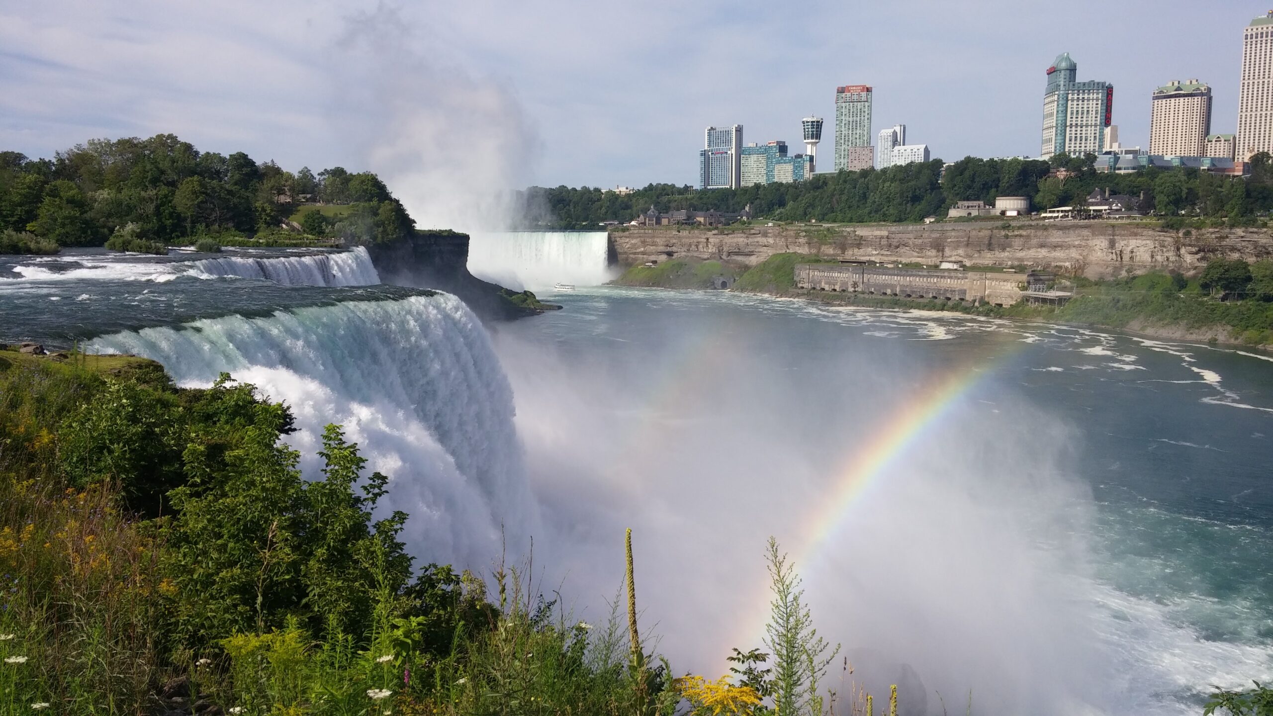
See Niagara Falls from several angles on this trek around both sides of the border.Bring your passport/Nexus card as well as $1 to walk across the Rainbow Bridge. You may have to present your vaccination status.
Urban Walk: 16 Mile Creek, Oakville
https://hikesstaging.brucetrail.org/event/16-mile-creek-oakville-3/Sorry, the registration cut-off time for this hike has been reached.Not a member? Click here to join today!Hosting Club: Toronto
Category: Urban Walk
Location (Google Maps): Starts and ends at Oakville GO StationHike Leader(s): Ginny Giraudi, Wayne Crockett Click here to contact Hike Leader(s)
Pace: Moderate
Terrain: Other (Refer to Description)
Distance: 15 kmDescription
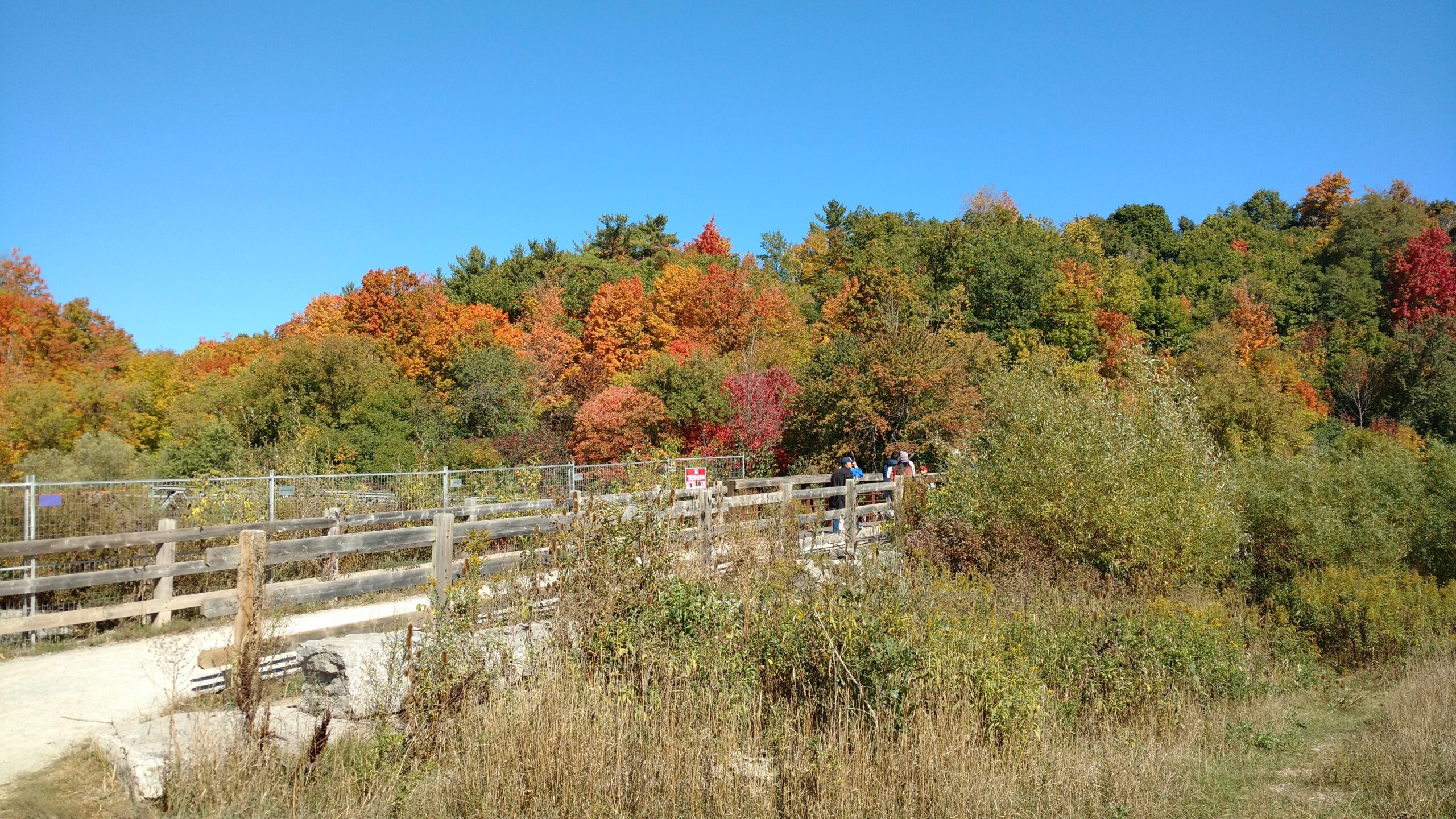
If you are planning to travel by GO train to Oakville please meet Wayne Crockett by the information desk with the clock over it in Union Station in the Great Hall (off Front Street). You will be taking the 8:44 am westbound train, so please arrive 15 minutes prior to that. Please use the bathroom while on the GO train as there is little time for it at the Oakville GO station. You can also drive to the Oakville Station and meet us there. Parking is free on the weekends.We will all meet at 9:25 am at the Oakville Transit Bus Platform 27 at the Oakville GO Station (click here for station diagram.) From here we will board Bus 13 at 9:40 am and take a short bus ride to the start point of our hike. Oakville Transit buses accept Presto, and if you have paid for the GO train, the fare for the Oakville bus will register as zero. We will walk a 15 km looping trail through the 16-Mile Creek ravine (click here for route map), stopping at the halfway point for lunch (port-a-potties only; bring hand sanitizer and tp) and return to the Oakville GO Station. The trail is stone dust gravel or asphalt and mostly flat except for two steep declines and two long climbs. There is one long set of stairs to descend. The after-hike pub stop is at the Beertown Public House (click here for menu) near the Oakville GO Station.
#2/3 Toronto Bruce Trail Club 60th Anniversary Badge Hike - 22km
https://hikesstaging.brucetrail.org/event/2-3-toronto-bruce-trail-club-60th-anniversary-badge-hike-20km/Sorry, the registration cut-off time for this hike has been reached.Not a member? Click here to join today!Hosting Club: Toronto
Category: Car Hike
Location (Google Maps): Limehouse Conservation Area – west of km20.4 at the baseball diamond. Access from the Fifth Line, just southeast of the village of Limehouse.Hike Leader(s): Alina Lin
Pace: Moderate
Terrain: Challenging, Hilly, Rocky, Variable
Distance: 22kmDescription
Founded in 1962, Toronto Bruce Trail Club is 60 years young ! To celebrate its birth year and the first blaze painted on the Bruce Trail, the Club has launched the 60th Anniversary badge. We are going to do a series of three hikes for a total of 60+ km to earn this badge. If you are a badge hunter, or simply just want to enjoy a long hike along the Niagara Escarpment during this golden season, join us!Depart 9:30 am. Please arrive a bit early to give yourself enough time to get ready. Prepare to walk for around 7 hours with only a 15-minute lunch break. Hiking poles are highly recommended.
Terrain: hilly, rocky, variable and challenging
Difficulty – intermediate to advanced
Pace – 4km/hour
Bring lunch and at least 1.5L water
No dropouts
No dogs
Hiking boots - 23October 23, 2022
Car Hike: Hockley Valley There and Back
https://hikesstaging.brucetrail.org/event/car-hike-hockley-valley-there-and-back/Sorry, the registration cut-off time for this hike has been reached.Not a member? Click here to join today!Hosting Club: Toronto
Category: Car Hike
Location (Google Maps): Hockley Road Parking Area, located on the north side of Hockley Road at the Hockley Road Side Trail.Hike Leader(s): Liz Hemmerick – Leader, Peter Leeney – Sweep Click here to contact Hike Leader(s)
Pace: Moderate
Terrain: Variable
Distance: 15 kmDescription
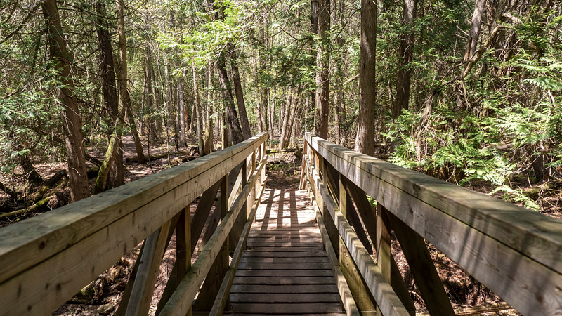
Enjoy the rolling trails of the Hockley Valley passing babbling brooks. We will walk to Dunby Road on the main trail and then take in the Cam Snell Side Trail on our return. The pace will be moderate/brisk. Please bring a minimum of 2 litres of water and lunch. Hiking boots are strongly recommended. You may find hiking poles helpful on the hilly sections. Depending on the weather, there can be muddy/slippery sections.Please arrive by 8:45 a.m. as we will be departing promptly at 9:00 a.m.
Lynde Shores Conservation Area
https://hikesstaging.brucetrail.org/event/lynde-shores-conservation-area-2/Sorry, the registration cut-off time for this hike has been reached.Not a member? Click here to join today!Hosting Club: Toronto
Category: Urban Walk
Location (Google Maps): Lyne Shores Conservation Area – New Parking Lot on Halls RoadTransit riders coming from Toronto can meet Tom Swales at Union Station in the Great Hall at 8.35 am. You will be taking the 8.50 GO Train to Whitby, taking a short bus ride, and will be walking down Halls Rd. to meet the drivers. Note that due to construction on the Lakeshore West line there will be no train service west of Union Station of the Lakeshore Line on Sun Oct 23rd so you will have to take the TTC to Union or Danforth GO stations to take the train to Whitby if coming from the west end of the city.
Hike Leader(s): Lisa R. Lifshitz, Tom Swales Click here to contact Hike Leader(s)
Pace: Moderate
Terrain: Flat
Distance: 10 kmDescription
Come support Lisa on her “graduation hike” to become a certified TBTC Hike Leader and join us for a lovely and relaxing car hike/urban walk at Lynde Shores Conservation Area, 1225 Victoria Street, Whitby on Sunday, October 23rd. We expect to see fall colours and hopefully, birds and other wildlife at the Cranberry Marsh. We will cover almost all of the trails, including the Chickadee Trail. Depending on the mood of the group we may also go for refreshments afterwards.Terrain and Speed – Flat, 3.5k, with stops for photos (approximately 4 hours)
- 24October 24, 2022No events
- 25October 25, 2022
Exploring the Gorge and the town of Elora - Halloween Style
https://hikesstaging.brucetrail.org/event/exploring-the-gorge-and-the-town-of-elora-halloween-style/Sorry, the registration cut-off time for this hike has been reached.Not a member? Click here to join today!Hosting Club: Caledon Hills
Category: Tuesday Hikers
Location (Google Maps): Elora Ontario. Parking at Elora and District Community Centre, 29 David Street, EloraHike Leader(s): Doris Harper Click here to contact Hike Leader(s)
Pace: Medium – 3 to 4 km/hour
Terrain: Moderate – some hills and/or some poor footingDescription
From the Community Centre we will access the Elora Gorge trails. Following the hike we will explore the Town of Elora and all the Halloween decorations.Weather permitting we can picnic in the park, (picnic tables are available) and /or enjoy lunch at one of the several Restaurants.
Please check email before leaving home, inclement weather may result in hike cancellation.
Questions?- Please contact me at harpt7c@gmail.com ; or 519 589 4114