Scotsdale Farm, Map 13

Hosting Club: Caledon Hills Category: Tuesday Hikers Location (Google Maps): Scotsdale Farm parking lot. From Highway 401 go north on Trafalgar Rd. until it merges with Highway 7, turn left on Highway 7, after about 4 km Trafalgar Rd. will branch-out to the right, take Trafalgar Rd., entrance to Scotsdale Farm is on the right … Read more
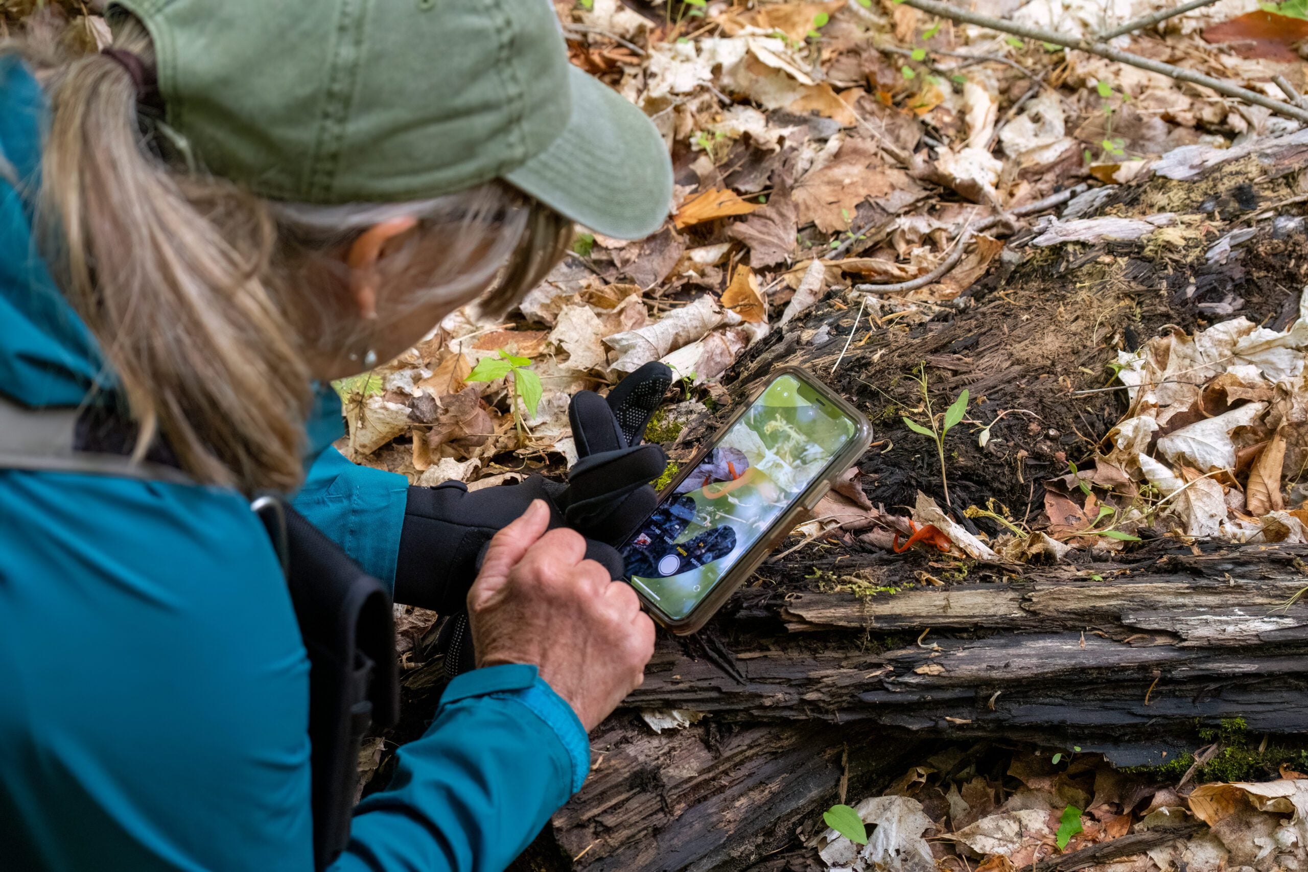
Nature Seekers Exploring Whitetail Refuge Nature Reserve

Hosting Club: Caledon Hills Category: Nature Walks Location (Google Maps): Meet at the Mono Community Centre, 200 m south of Mono Centre (County Road 8). 44.026195, -80.071516 Directions: From ON-10 head east onto Dufferin Rd. 8/Mono Centre Rd. for 6.0 km. The Community Centre is on the right. Hike Leader(s): Sandy Green Click here to contact … Read more

Bus Hike: Hill Fun in Hockley Valley and Mono Cliffs

Trip Information Departure Time: 08:30 Return to City Time: 18:00 Departure Point: York Mills Bus Pickup Optional Items Hosting Club: Toronto, Caledon Hills, Dufferin Hi-Land Category: Bus Hike Location (Google Maps): Hockley Valley and Mono Cliffs Hike Leader(s): Martina Furrer, Roland Mark, Leonora Rochwerger and Tim Wainwright Click here to contact Hike Leader(s) Pace: Fast, Moderate … Read more

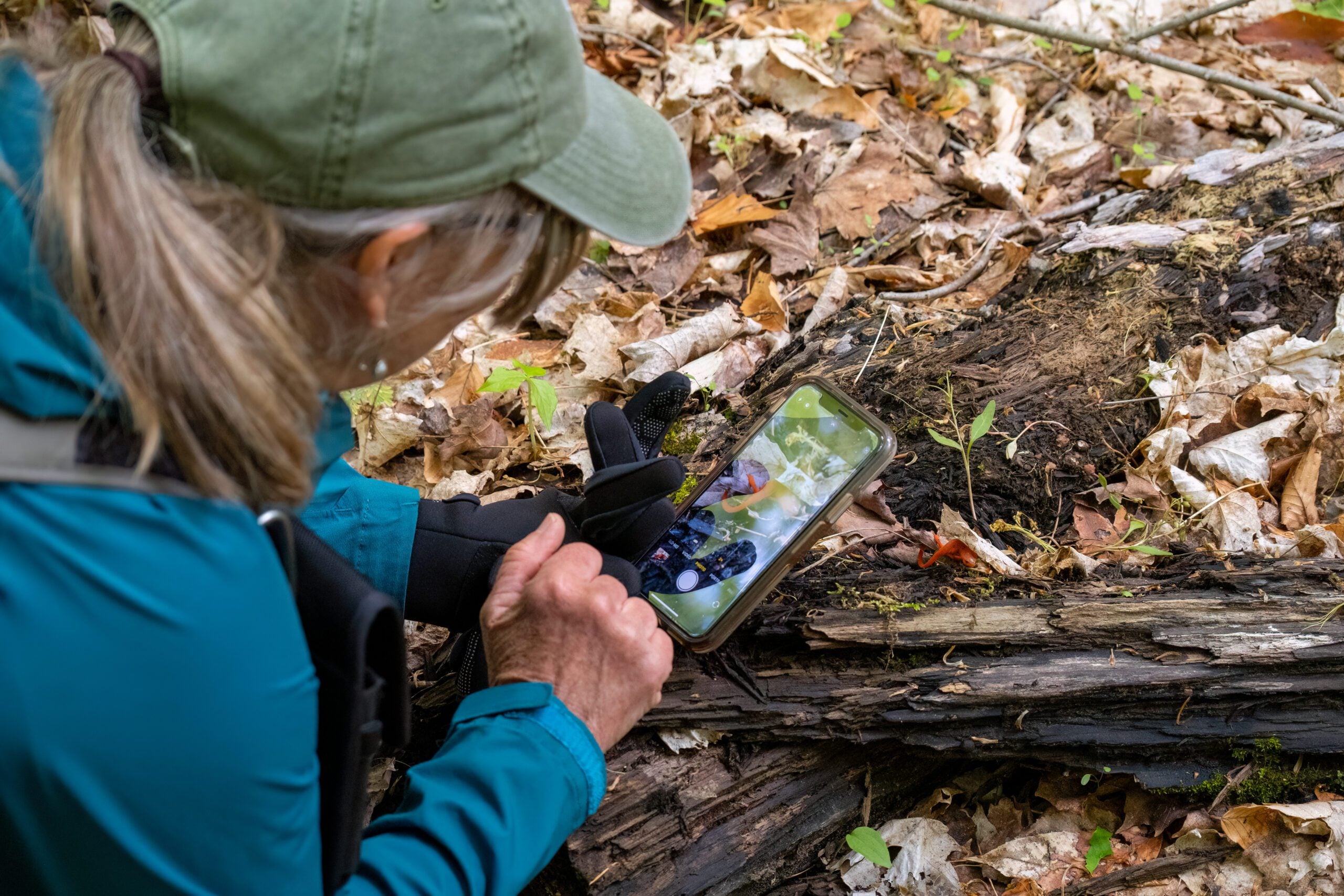
Nature Seekers Exploring Whitetail Refuge Nature Reserve

Hosting Club: Caledon Hills Category: Nature Walks Location (Google Maps): Meet at the Mono Community Centre, 200 m south of Mono Centre (County Road 8). 44.026195, -80.071516 Directions: From ON-10 head east onto Dufferin Rd. 8/Mono Centre Rd. for 6.0 km. The Community Centre is on the right. Hike Leader(s): Sandy Green Click here to contact … Read more

Beaver Valley End-to-End Hike 1 of 9

Hosting Club: Caledon Hills Category: End-to-End Location (Google Maps): Meet at 9:15 am at the new parking area off Grey Rd. 40, 650 m east of Grey Rd. 7; km 105.7, Map 28 (Ed. 31). Shuttle to start at Blantyre (or alternative parking). Hike Leader(s): Nancy Mooney Click here to contact Hike Leader(s) Pace: Medium – … Read more