Just For Fun Hikers at Whitetail Refuge Nature Reserve
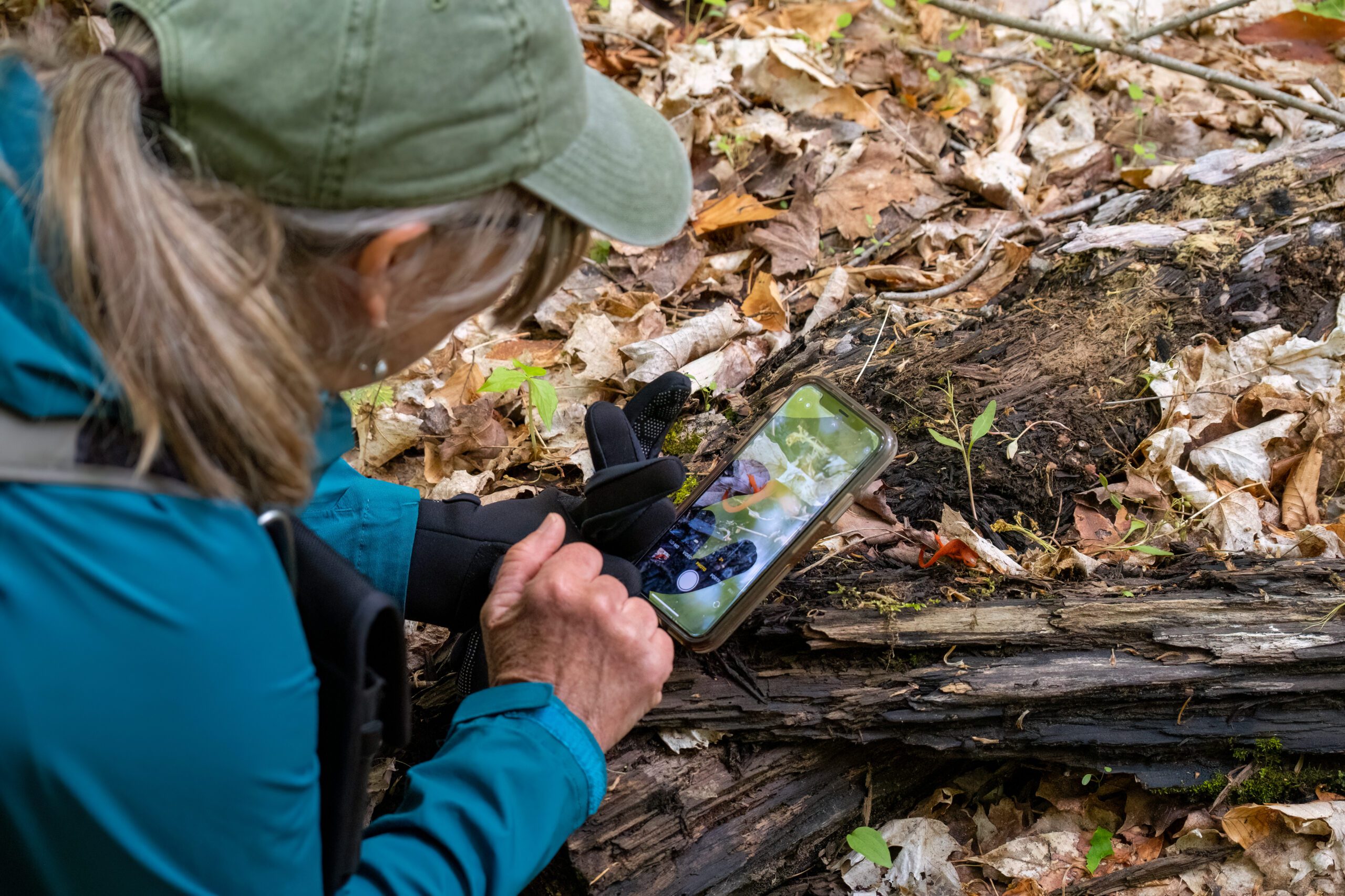
Hosting Club: Caledon Hills Category: General Location (Google Maps): Meet at the Mono Community Centre, 200 m south of Mono Centre (County Road 8). 44.026195, -80.071516 Directions: From ON-10 head east onto Dufferin Rd. 8/Mono Centre Rd. for 6.0 km. The Community Centre is on the right. Hike Leader(s): Sandy Green Click here to contact Hike … Read more
Car Hike: Spring Flowers Hike, Hockley Valley

Hosting Club: Toronto, Caledon Hills Category: Car Hike Location (Google Maps): Hockley Valley Nature Preserve, Map 18 Hike Leader(s): Al Brown Click here to contact Hike Leader(s) Pace: Moderate Terrain: Challenging Distance: 14 km Description We will hike 14 km through the Nature Preserve, one of the most challenging (hilliest) parts of the Bruce Trail. A great aerobic … Read more

Car Hike: CHBTC 60th Anniversary E2E Badge Combo 1 of 5

Hike open to BTC Members only. Hosting Club: Toronto, Caledon Hills Category: Car Hike Location (Google Maps): Hike #1 – meet southwest of km 48.4 (Toronto section due to lack of parking at the very south end of Caledon) at Boston Mills Rd. just west of the Mississauga Rd. intersection. (Note: driveway is private property). … Read more

Island Lake, Orangeville

Hosting Club: Caledon Hills Category: General Location (Google Maps): Meet at Vicki Barron Lakeside Trail Parking. After driving through Orangeville traffic lights on Highway 10, turn right on Hockley Rd., keep straight on SIderoad 5, turn right on Hurontario Street to the car parking. Hike Leader(s): Mohammad Shafiq Click here to contact Hike Leader(s) Pace: Medium … Read more

Beaver Valley End-to-End Hike 2 of 9

Hosting Club: Caledon Hills Category: End-to-End Location (Google Maps): Meet at roadside parking on the south side of Sideroad 19, km 92.3, Map 27 (Ed. 31). Shuttle to start at Grey Rd. 40. Hike Leader(s): Nancy Mooney Click here to contact Hike Leader(s) Pace: Medium – 3 to 4 km/hour Terrain: Moderate – some hills and/or some … Read more