
- HikeType General Hike
- HikeIcon https://hikesstaging.brucetrail.org/wp-content/uploads/formidable/7/marker_urban-walks-1.png
- PaceTypes Brisk
- TerrainTypes ,Moderate,Slippery Sections Likely
- PaidOuting No
Hosting Club: Dufferin Hi-Land
Category: General Hike
Location (Google Maps): Map 20: Park at north end of 2nd Line E (Access 2nd Line via 1st Line E north from Hwy 89 to 8 Sideroad)
Hike Leader(s): su Bate, Carol Foley Click here to contact Hike Leader(s)
Pace: Brisk
Terrain: Moderate, Slippery Sections Likely
Distance: 9km
Description
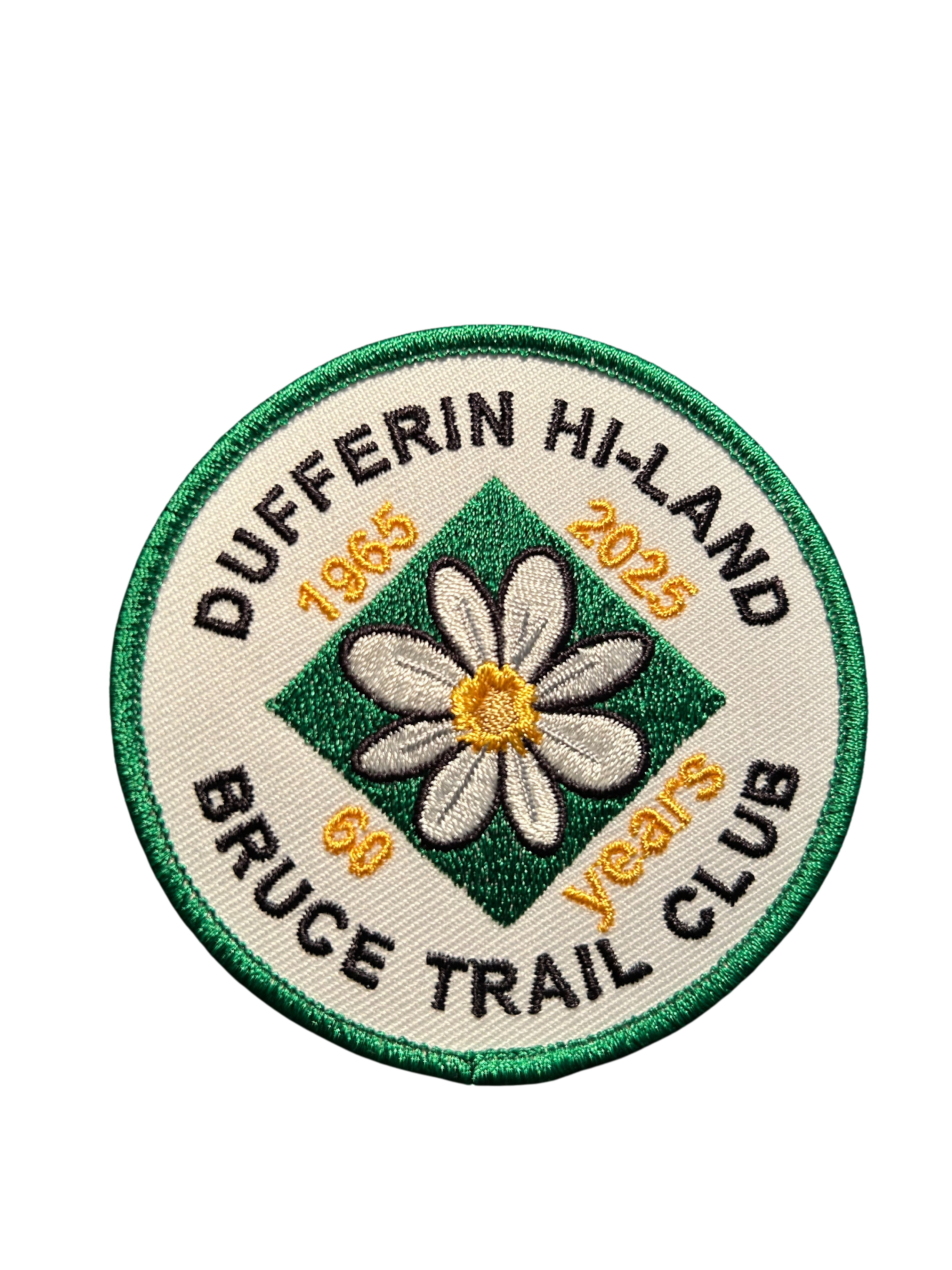
This is the 5th in a series of 6 loop hikes; each hike is between 9-12km in length. If you hike all 6 of the hikes in this series, or otherwise hike 60 km in Dufferin during 2025, you qualify for the 60th Anniversary badge.
Bring a drink, a snack and your ICERS because the trail can be slippery, icy and muddy at this time of year. Dress for the weather! Getting closer to the end now :)We will follow 2nd Line ECL Side Trail to Oliver Creek Side Trail. Turn right on Oliver Creek and continue east to Bruce Main Trail at km 24.3. Follow Main Trail south to Mulmur Lookout Side Trail (km 20.7). Take side trips on the Boyne Creek and Mulmur Lookout Side Trails along the way. Return to parking by the same route or, for a shorter hike, stay on 2nd Line E when the Main Trail leaves the road just north of km 22.7.