
Hike Schedule
Join us for a hike! Registration required.
All hikes available to BTC members. Some hikes are open to non-members.
See Refund Policy for Paid Hikes >
TIP: The calendar view displays up to 7 hikes on a day, but often there are more. Click “View more events” to see them all.
Categories
- 22June 22, 2025
Laura Secord Special Event Hike
https://hikesstaging.brucetrail.org/event/laura-secord-special-event-hike-2/Sorry, the registration cut-off time for this hike has been reached.Not a member? Click here to join today!Hosting Club: Niagara
Category: Bus
Location (Google Maps): Niagara Region Office, 1815 Sir Isaac Brock Way, Thorold, ON (park near Merrittville Highway)Hike Leader(s): janet davey Click here to contact Hike Leader(s)
Pace: Medium
Terrain: Moderate
Distance: 32 kmDescription
This is a self-led hike. Hike along the Bruce Trail from Laura Secord’s Homestead in Queenston to Decew House in Thorold. Participants will be transported by bus from check in at Niagara Region office to the start of the hike and will hike at their own pace to the final checkpoint. There will be volunteer drivers available to drive you back to your car once the hike is over. You may be asked to wear a mask in the car.Bring snacks, water and bug spray. We also recommend sunscreen, basic first aid supplies, spare socks and a cell phone. There will be 3 checkpoints (2 along the trail and one at the end) to replenish water and snacks and anyone wishing to drop out of the hike should do so at a checkpoint. Hikers are responsible for informing club volunteers of their intention to drop out.
You will receive a reminder email two days before the event with further details about the hike.
Biodiversity Walk (Summer Solstice Series)
https://hikesstaging.brucetrail.org/event/biodiversity-walk-summer-solstice-series/Sorry, the registration cut-off time for this hike has been reached.Not a member? Click here to join today!Hosting Club: Dufferin Hi-Land
Category: Special Events
Location (Google Maps): Splitrock Narrows – Bruce Trail Side Trails
Meet at Splitrock Narrows Parking Lot
755347 2nd Line East, Mono, ON
Bruce Trail App and Guide Book (ed. 31) Map 19, Mono CliffsHike Leader(s): N/A
Pace: Leisurely
Terrain: Easy, Moderate
Distance: 3-4kmDescription
Join members of the Biodiversity Committee and a retired Dufferin County forester to explore how we are working to improve biodiversity in the Dufferin Hi-Land section of the trail! This leisurely walk through parts of Splitrock Narrows will focus on projects the committee has been working on, including the newly established and expanded Seed Orchard. Learn more about the various species planted and their intended uses. We will also discuss the ongoing initiatives to reduce invasive species and enhance the biodiversity around us.Bring water and snacks. Hiking poles are optional. Consider sunscreen and insect repellent.
This event is not a hike. There will be no certified hike leader present. Please contact Cathy Hughes at purplecoral@hotmail.com for more information. Thanks.
Summer Solstice Nature Walk
https://hikesstaging.brucetrail.org/event/summer-solstice-nature-walk/Sorry, the registration cut-off time for this hike has been reached.Not a member? Click here to join today!Hosting Club: Dufferin Hi-Land
Category: Special Events
Location (Google Maps): Dufferin Hi-Land Section, Map 20. Meet at parking lot at end of Centre Road, south of 5 Sideroad Mulmur (just north of Km 17.6)Hike Leader(s): Brenda Carling Click here to contact Hike Leader(s)
Pace: Leisurely
Terrain: Easy
Distance: 0.5 kmDescription
Join us for a gentle ramble in the hills and learn a bit about what we see along the way. This short hike goes up to Murphy’s Pinnacle for some amazing vistas, and down to the river and returning on the road allowance. - 23June 23, 2025
Halton Agreement Forest - How to use All Trails to navigate your hikes
https://hikesstaging.brucetrail.org/event/halton-agreement-forest-how-to-use-all-trails-to-navigate-your-hikes/Sorry, the registration cut-off time for this hike has been reached.Not a member? Click here to join today!Hosting Club: Iroquoia
Category: General Hike
Location (Google Maps): Meet roadside at 9:15 on 4th Line. Up Guelph Line from the 401, turn right on 10 Side Road and follow the curve as it becomes 4th Line.Hike Leader(s): Karen Bergmann Click here to contact Hike Leader(s)
Pace: Medium – 3 to 4 km/hr
Terrain: Moderate – Some hills and/or some poor footing
Distance: 8 kmsDescription
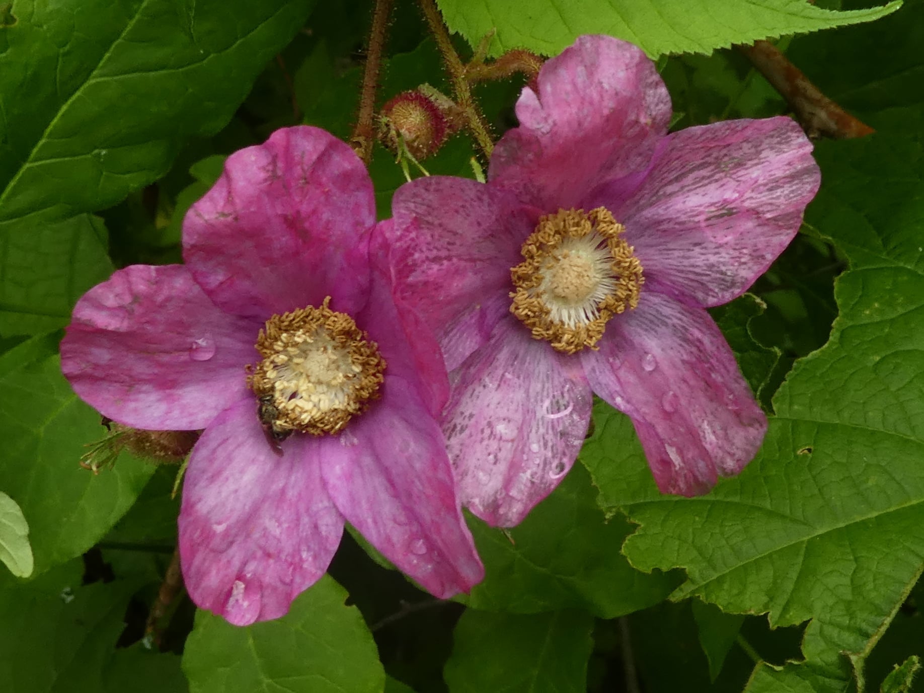
We will hike around the bike trails in this lovely Forest, including The Den and The Pines. During this hike, we will learn how to use the All Trails app to find our way around the Forest. Each hiker will take turns leading us around the trails. Bring bug spray. - 24June 24, 2025
8:00 Long Hike Wiley Road Short Hills (NEW TIME)
https://hikesstaging.brucetrail.org/event/800-long-hike-wiley-road-short-hills-new-time-8/Sorry, the registration cut-off time for this hike has been reached.Not a member? Click here to join today!Hosting Club: Niagara
Location (Google Maps):
Short Hills Wiley Road Entrance
Pace: Medium
Terrain: Moderate
: 10kmDescription
Explore Short Hills and the majestic side trails of Scarlett Tanager, Hemlock. Swayze Falls and Terrace. Register for each hikeBring Poles, Sun Screen Bug Spray, snack, and dress for the weather
Dufferin Hi-Land 60th Anniversary Highlights, Hike 10:Boyne Valley Side Trail Loop
https://hikesstaging.brucetrail.org/event/dufferin-hi-land-60th-anniversary-highlights-hike-10boyne-valley-side-trail-loop/Sorry, the registration cut-off time for this hike has been reached.Not a member? Click here to join today!Hosting Club: Dufferin Hi-Land
Category: Tuesday Hike
Location (Google Maps):Dufferin Hi-Land Section, Map 20. Meet at parking lot at end of Centre Road, south of 5 Sideroad Mulmur (just north of Km 17.6
) at 9:00 am.Hike Leader(s): Les Babbage, Inge Eckerich, Julie Daley, Tony Evangelista Click here to contact Hike Leader(s)
Pace: Leisurely, Medium
Terrain: Strenuous
Distance: 6.3 km, Short hike: 3 kmDescription
Our celebration of Dufferin Hi-Land BTC’s 60th Anniversary concludes with another highlight of the section, 3 bridges crossing the Boyne River. If you’ve hiked all 10 of the hikes in this series, or otherwise hiked 60 km in Dufferin during 2025, you qualify for the 60th Anniversary badge.Today we will hike a loop consisting of the Main Trail and Boyne Valley Side Trail, with a side trip up to Murphy’s Pinnacle, where, on a clear day, you just might be able to spot the CN Tower. The short option will return to parking from the Boyne River bridges by way of Centre Road road allowance. Bring water and snacks.
Urban Walk: High Park and Toronto Waterfront Trail
https://hikesstaging.brucetrail.org/event/urban-walk-high-park-and-toronto-waterfront-trail/Sorry, the registration cut-off time for this hike has been reached.Not a member? Click here to join today!Hosting Club: Toronto
Location (Google Maps):
High Park Subway Station Street Level (East Exit – High Park Avenue (by the bus loop)
Hike Leader(s): Miriam Stevens Click here to contact Hike Leader(s)
Pace: Leisurely (2-3 km/hr)
Terrain: Flat, Level 1 (Easy – mostly on flat, well maintained trails with hard-packed surface)
Distance: 10 KMDescription
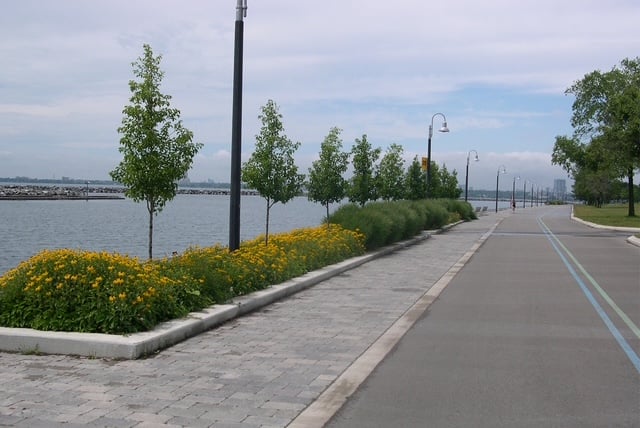
Join us for a leisurely hike through High Park and then east along Toronto’s Waterfront Trail to Harbourfront Centre passing though many small parks including the Music Garden. Refreshments at a coffee shop on Queens Quay at Harbourfront. Bring lunch and drinking water. Dropout any time. We’ll arrive at Harbourfront Centre around 2:00 PM. This will be repeated Tuesday May 13th, Tuesday May 27th, Tuesday June 3rd, and Tuesday June 24th. No pre registration is required. Just show up 15-20 minutes before to departure time to sign in with the hike leader. - 25June 25, 2025
Terra Cotta/Heritage Road loop
https://hikesstaging.brucetrail.org/event/terra-cotta-heritage-road-loop-2/Sorry, the registration cut-off time for this hike has been reached.Not a member? Click here to join today!Hosting Club: Iroquoia
Category: General Hike
Location (Google Maps): Roadside on Winston Churchill Blvd, just north of Terra Cotta Conservation Area. Meet at 9:15 am, earlier if you can, as parking is limited.Hike Leader(s): Karen Bergmann Click here to contact Hike Leader(s)
Pace: Medium – 3 to 4 km/hr
Terrain: Moderate – Some hills and/or some poor footing
Distance: 8.5 kmsDescription
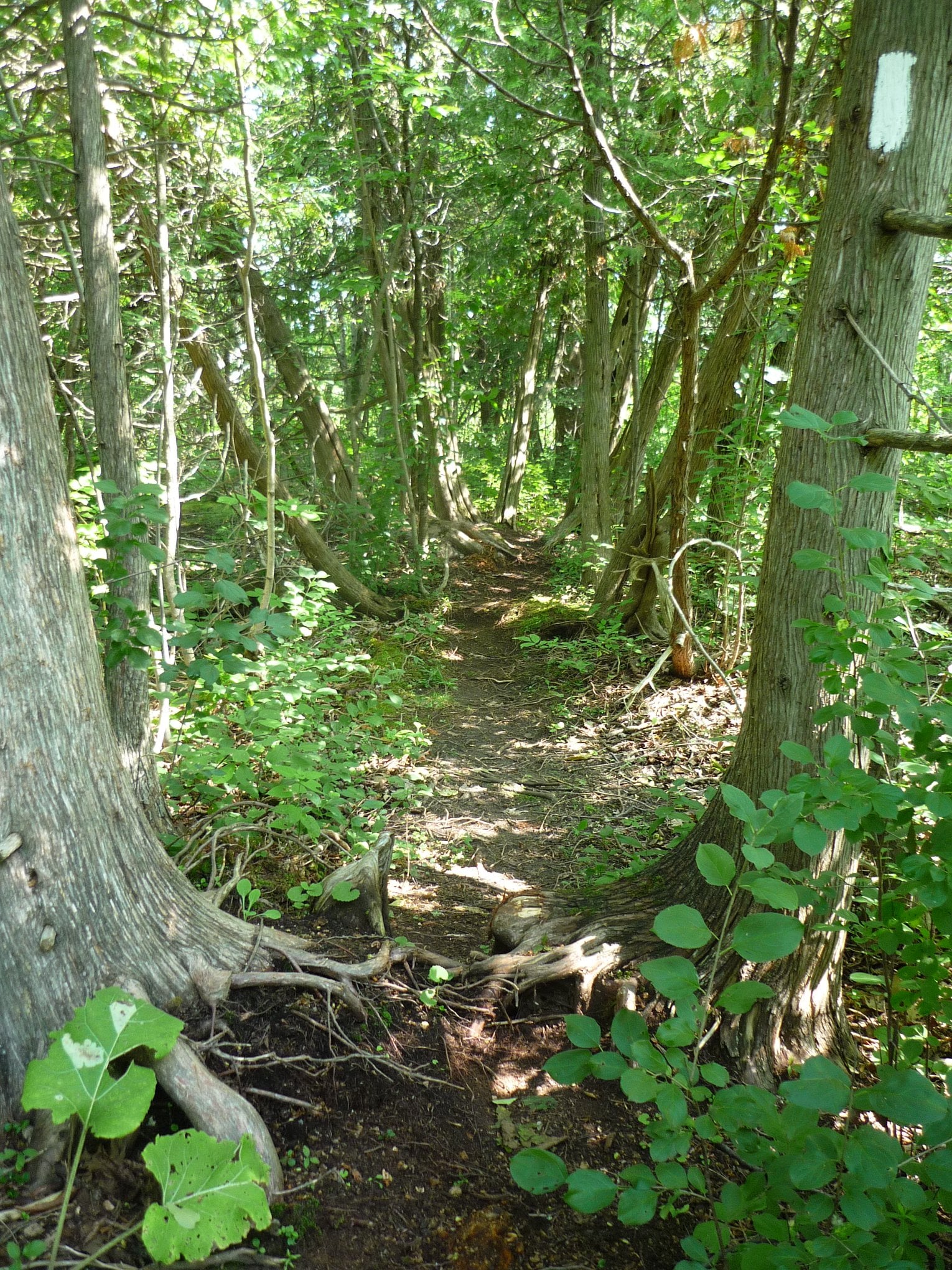
Hiking along the main trail, across Heritage Rd and around to the Rockside Side Trail and back on the main trail to the cars. This trail has some easy parts and some challenging rocky parts, so come prepared. There’s a bit of road walking. Bring bug spray.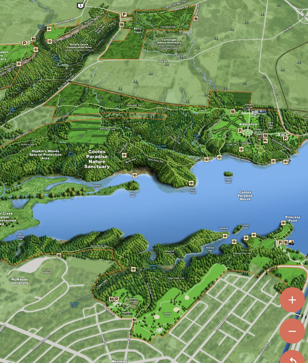
Cootes Paradise South Shore Trails
https://hikesstaging.brucetrail.org/event/cootes-paradise-south-shore-trails/Sorry, the registration cut-off time for this hike has been reached.Not a member? Click here to join today!Hike open to BTC Members only.
Hosting Club: Iroquoia
Category: Good Companions
Location (Google Maps): Princess Point parking lot – see map belowHike Leader(s): Ted Bossence Click here to contact Hike Leader(s)
Pace: Medium – 3 to 4 km/hr
Terrain: Moderate – Some hills and/or some poor footing
Distance: 7.5 kmDescription
We will walk the trails to and from the McMaster University campus on mostly good trails with a few hills along the way. Please be at the start point by 9:15 am and we will leave by 9:30 (PLEASE NOTE THE EARLIER START TIME). RBG parking pass or paid parking at Princess Point. Bring bug repellant, sunscreen, water and a snack. I will cancel in the case of rain – please check your email the evening before the hike. I will email you the day before the hike with contact information for cancellations after 3:30 pm on the day prior to the hike.
- 26June 26, 2025
8:00 am Long Hike Glen Road Jordan NEW TIME
https://hikesstaging.brucetrail.org/event/800-am-long-hike-glen-road-jordan-new-time-9/Sorry, the registration cut-off time for this hike has been reached.Not a member? Click here to join today!Hosting Club: Niagara
Location (Google Maps):
Glen Road Jordan
Pace: Medium
Terrain: Moderate
: 10kDescription
This will be our permanent Thursday Location until Bridge repairs complete. From Glen Road explore the trail network on the escarpment towards Balls Falls and Moyer Road.You must register for each hike. Bring Poles, snack bug spray, sunscreen and a drink. Dress for the weather
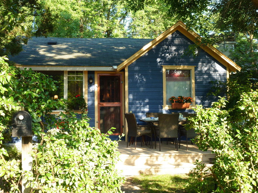
Urban Walk: Toronto Islands Evening Walk
https://hikesstaging.brucetrail.org/event/urban-walk-toronto-islands-evening-walk-18/Sorry, the registration cut-off time for this hike has been reached.Not a member? Click here to join today!Hosting Club: Toronto
Location (Google Maps):
Jack Layton Ferry Terminal, near the gates to Wards Island Ferry. Arrive 20 minutes prior to departure to check in with hike leader.
From Union Station take the LRT and get off at the stop Ferry Docks.Walk up to the Ferry Docks on Queens Quay West, street level. at the foot of Bay Street.
Hike Leader(s): Miriam Stevens Click here to contact Hike Leader(s)
Pace: Leisurely (2-3 km/hr)
Terrain: Flat
Distance: 6-9 kmDescription
After a day’s work come and “cool off” on the Toronto Islands free of fumes and traffic. Enjoy the view of the city skyline and Toronto’s beautiful island parkland.
Pack a dinner for a sit down picnic. Also bring a warm jacket and flashlight.
Return fare ticket for the ferry is $9.11 for adults, $5.86 for seniors
Hikes will take place rain or shine.
Toronto Island evening hikes will take place every Thursday in May and June 2025.
Same time and same meeting place. No preregistration is required – just show up at the ferry docks at 5:40 PM and sign in with the hike leader. - 27June 27, 2025
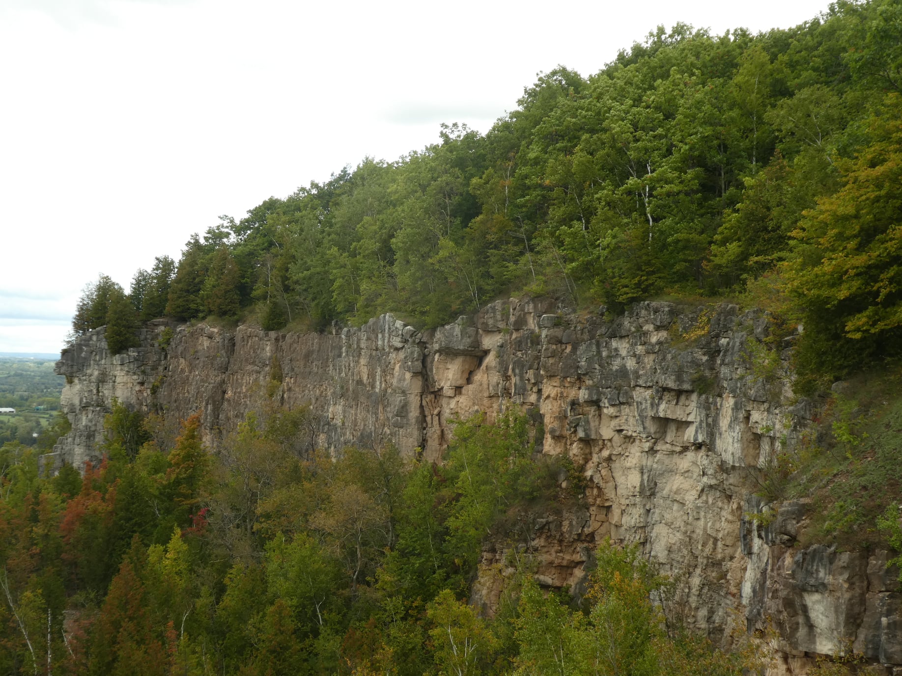
Afternoon Hike - Kelso Summit (reservation required)
https://hikesstaging.brucetrail.org/event/afternoon-hike-kelso-summit-reservation-required-2/Sorry, the registration cut-off time for this hike has been reached.Not a member? Click here to join today!Hosting Club: Iroquoia
Category: Afternoon/Evening Hikes
Location (Google Maps): Meet at 4:15 pm in the Kelso Summit parking lot on Steeles Ave.Hike Leader(s): Karen Bergmann Click here to contact Hike Leader(s)
Pace: Medium – 3 to 4 km/hr
Terrain: Moderate – Some hills and/or some poor footing
Distance: 7 kmsDescription
We will hike along a few of the trails in a loop. Please reserve your time at www.conservationhalton.ca - 28June 28, 2025

Peninsula Sunrise Series: Burnt Point Loop & Lookout Tower
https://hikesstaging.brucetrail.org/event/peninsula-sunrise-series-burnt-point-loop-lookout-tower/Sorry, the registration cut-off time for this hike has been reached.Not a member? Click here to join today!Hosting Club: Peninsula
Category: Sunrise Hike
Location (Google Maps): Parking Lot at Dyers Bay Rd & Hwy 6, Northern Bruce Peninsula, ON N0H 1Z0Hike Leader(s): Kathleen Stahlbaum Click here to contact Hike Leader(s)
Pace: Leisurely (2.0 – 3.0 km/h): A relaxed pace with frequent breaks and a focus on enjoyment.
Terrain: Easy: Flat forested sections or lowland trails., Moderate: Rolling hills, mild slopes and rocky paths.
Distance: ~6 kmDescription
Experience the magic of dawn on the Bruce Trail with the Sunrise Hike Series offered by the Peninsula Bruce Trail Club. These early morning hikes provide a perfect opportunity to awaken your senses, boost your energy, and immerse yourself in the tranquility of nature as the sun paints the sky with breathtaking hues. As we make our way through scenic forest trails, we’ll pause to witness the first light shimmering on the turquoise waters of Georgian Bay – a sight that will surely leave you in awe!Beyond the beauty, morning light helps regulate your circadian rhythm, elevating your mood, boosting energy levels and improving sleep quality. Whether you’re looking to start your day with a sense of calm, capture stunning sunrise photos, or simply reconnect with nature, these hikes offer a unique and inspiring way to greet the day.
On Saturday June 28th, join us in hiking the Burnt Point Loop where we’ll experience the sun rising over the Bay from the edge of the shoreline as well as the iconic Bruce Peninsula National Park Visitor’s Center Lookout Tower. We’ll have the joy of taking in the stunning colours of the sky as the first light sparkles on the stunning turquoise waters. This peaceful sunrise hike is the perfect way to connect with nature, capture some incredible photos, and start the day with fresh air and inspiration. Whether you’re a morning person or just love a good adventure, come experience the magic of dawn from one of the best vantage points on the Bruce Peninsula!
Don’t forget to bring a headlamp or flashlight (preferably with a red light setting) as we begin our adventure in the pre-dawn quiet. Join us and discover how a sunrise hike can nourish your mind, body, and spirit—setting the tone for a brighter, more balanced day.
This hike is approximately 5-6 kms in length. Expect to be on the trail for 2-3 hours (+ additional time for travel from our rendezvous point). Pace will be leisurely with ample time to enjoy the sunrise, take some photographs, and nourish yourself!
How to prepare
- Get a good night’s sleep
- Bring lots of water and a snack (breakfast and/or coffee are recommended if that’s your thing!)
- Bring a headlamp or flashlight (preferably with a red light setting)
- Wear waterproof hiking boots (There will be mud!)
- Hiking poles are recommended but not necessary
- Bring insect repellant or wear protective clothing
- Bring sunscreen
LIMITED SPACE AVAILABLE! We will be carpooling to the Bruce Peninsula National Park Visitor’s Center from the parking lot at the corner of Highway 6 and Dyer’s Bay Rd. You will be required to pay for entry to the park.

Bus Hike: Mystery Hike
https://hikesstaging.brucetrail.org/event/bus-hike-mystery-hike/Sorry, the registration cut-off time for this hike has been reached.Not a member? Click here to join today!Trip Information
Departure Time: 08:30
Return to City Time: 18:00
Departure Point: York Mills Bus PickupOptional Items
Hosting Club: Toronto
Category: Bus Hike
Location (Google Maps): The location will be revealed the date of the hike. The destination will be within an approximately 90 minute drive from York Mills Station.Hike Leader(s): Tom Swales, Felix Wan Click here to contact Hike Leader(s)
Pace: Moderate (3-4 km/hr)
Terrain: Level 2 (Intermediate – some hills and uneven surfaces, rocks and roots underfoot)
Distance: 12-14 kmDescription
Join us on fun day for a moderate level 12 km hike on a trail stewarded by one of our fellow member trail associations of Hike Ontario. The location will be within a 90 minute drive from York Mills (subject to traffic conditions). Like the Bruce Trail, the trail follows one of the geological features of Ontario. After the hike there will be the options to enjoy a lovely white sand beach with scenic views, a local festival, or a pub/restaurant in a picturesque waterfront community. This will be a new hike and not a repeat of any hike on the schedule. That’s all the clues you’ll get. An enjoyable day is promised.Summer Solstice HIstorical Hike
https://hikesstaging.brucetrail.org/event/dhlbtc-60th-anniversary-historical-hike/Sorry, the registration cut-off time for this hike has been reached.Not a member? Click here to join today!Hosting Club: Dufferin Hi-Land
Category: Special Events
Location (Google Maps): Ed. 31 Map 20 Km. 33.8 Parking corner of River Rd. and Centre Rd.Hike Leader(s): Bryan Foley Click here to contact Hike Leader(s)
Pace: Leisurely
Terrain: Moderate
Distance: Short 3kM Long 5,5kmDescription
Join me, as together we hike back through history. We will explore the origins of the hamlet of Kilgorie, River Road. Who were the early settlers ? What is the story behind the remains of the Dufferin Light and Power Company ? As we walk further along the trail ,we’ll find out who Grant and Grace Bell were, the role they and others played in the establishment and early development of the Dufferin Hi-Land Club
Lion’s Head Look One Day Hike – around 16 km Loop – for adventures and enthusiasts (who loves to drive and hike)
https://hikesstaging.brucetrail.org/event/lions-head-look-one-day-hike-around-16-km-loop-for-adventures-and-enthusiasts-who-loves-to-drive-and-hike/Sorry, the registration cut-off time for this hike has been reached.Not a member? Click here to join today!Hosting Club: Iroquoia, Peninsula
Category: Good Companions
Location (Google Maps): Lion’s Head Provincial Nature Reserve -Lion’s Head Parking Rd at the end of Cemetery Rd.Hike Leader(s): Corina Seceleanu Click here to contact Hike Leader(s)
Pace: Medium – 3 to 4 km/hr
Terrain: Strenuous – Hilly with steep climbs and some poor footing
Distance: 16.5 KmDescription
Let’s embark on an unforgettable adventure as we explore the breathtaking Lion’s Head area on Saturday, June 28th,2025. This hike, both exhilarating and rewarding, will take us along a 16.5 km loop that showcases the wonders of the Bruce Peninsula section. Our journey begins at the Cemetery Rd parking lot, where we’ll set off hiking counterclockwise on the main trail.Along the way, we’ll visit incredible landmarks including Gun Point, McKay Harbour, Lion’s Head Point, and the spectacular Lookout. Experience the thrill of crossing the 45th parallel twice, a reminder that you’re in a truly remarkable location. As the trail winds its way through awe-inspiring vistas and tranquil scenery, we’ll eventually connect to the Ilse Hanel Side Trail, leading us back to our starting point.
Whether you’re a seasoned hiker or simply looking for a challenge, this loop offers the perfect blend of beauty and endurance, promising countless moments of discovery and joy. If you crave adventure and long hikes with unforgettable rewards, this experience is not to be missed!
Expectations: This is a difficult hike but we’ll hike at various paces to allow ourselves to enjoy and immerse in an endless beauty of this exploration. Expect to be on-trail 6.5- 7 hours. Breaks will be taken for lunch, snacks, photography and to appreciate the scenery.
Meeting Time: Please arrive no later than 15 minutes prior to the scheduled time.
Participant Requirements:
- Intermediate/experienced hikers, comfortable with longer distances and elevation gains.
- Must be physically fit for group hiking and mentally prepared for an endurance hike
- Proper hiking boots, layered clothing, and wet weather gear. Hiking poles recommended
- Essentials: Lunch, snacks, water (2L min) , bug spray, sunscreen and your enthusiasm
- Breaks for photography and appreciation of local flora and fauna.
Please note: be prepared for a long drive (if you live around the GTA) round trip (around 6.5- 7h) as well for a long hike around 7 h. This is full day adventure.
Any question or inquiry please contact, the Hike Leader!
** For anyone wishing to carpool from GTAA ( meeting point at : Dixie Go Station at 2445 Dixie Rd. Missisauga, ON L4Y 2A1 coordinates 43.608362, -79.579350; cross the Walmart) please meet me at 5:50 am , Saturday June 28th.
It’s customary that if you’re a passenger in a carpool, that a donation towards expense of getting there and return would be appreciated.
Please contact me if anyone whishes to participate !
Thank you!
Till then happy trails, everyone!
Learn to Hike (Summer Solstice Series)
https://hikesstaging.brucetrail.org/event/learn-to-hike-summer-solstice-series/Sorry, the registration cut-off time for this hike has been reached.Not a member? Click here to join today!Hosting Club: Dufferin Hi-Land
Category: Special Events
Location (Google Maps): Mono Community Centre, Mono CentreHike Leader(s): Margery Cruise;Brenda Carling Click here to contact Hike Leader(s)
Pace: Leisurely
Terrain: Easy
Distance: 5 kmDescription
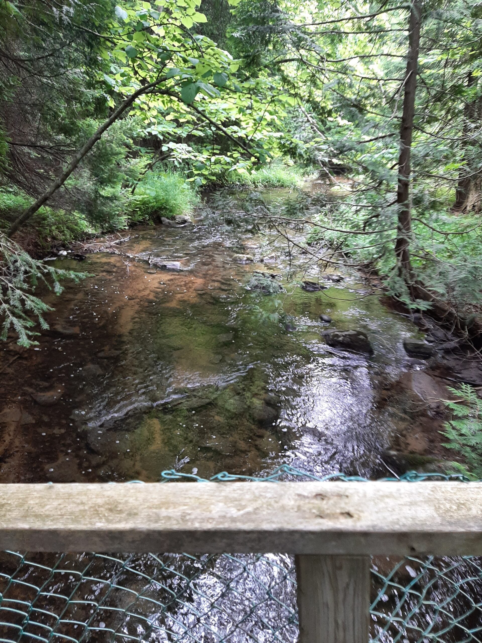
We will introduce you to the essentials of hiking. Our hike will start from the Community Centre Parking lot (look for Bruce Trail sign). We will cross Mono Centre Road, enter Mono Cliffs Park, hike along the main trail (Cliff Top Trail), walk over a small bridge over a stream, stop to admire the lakes, then follow the trail over boardwalks and up the cliff. We will go down some stairs to the base of the cliff and follow the Walter Tovell side trail back to the start. New hikers, families, seasoned hikers are all welcome! No dogs please.Please bring snacks, water, your energy. Even more fun – you can earn a “My first hike on the Bruce Trail” badge! Nominal charge of $15 ($10 for BTC members).
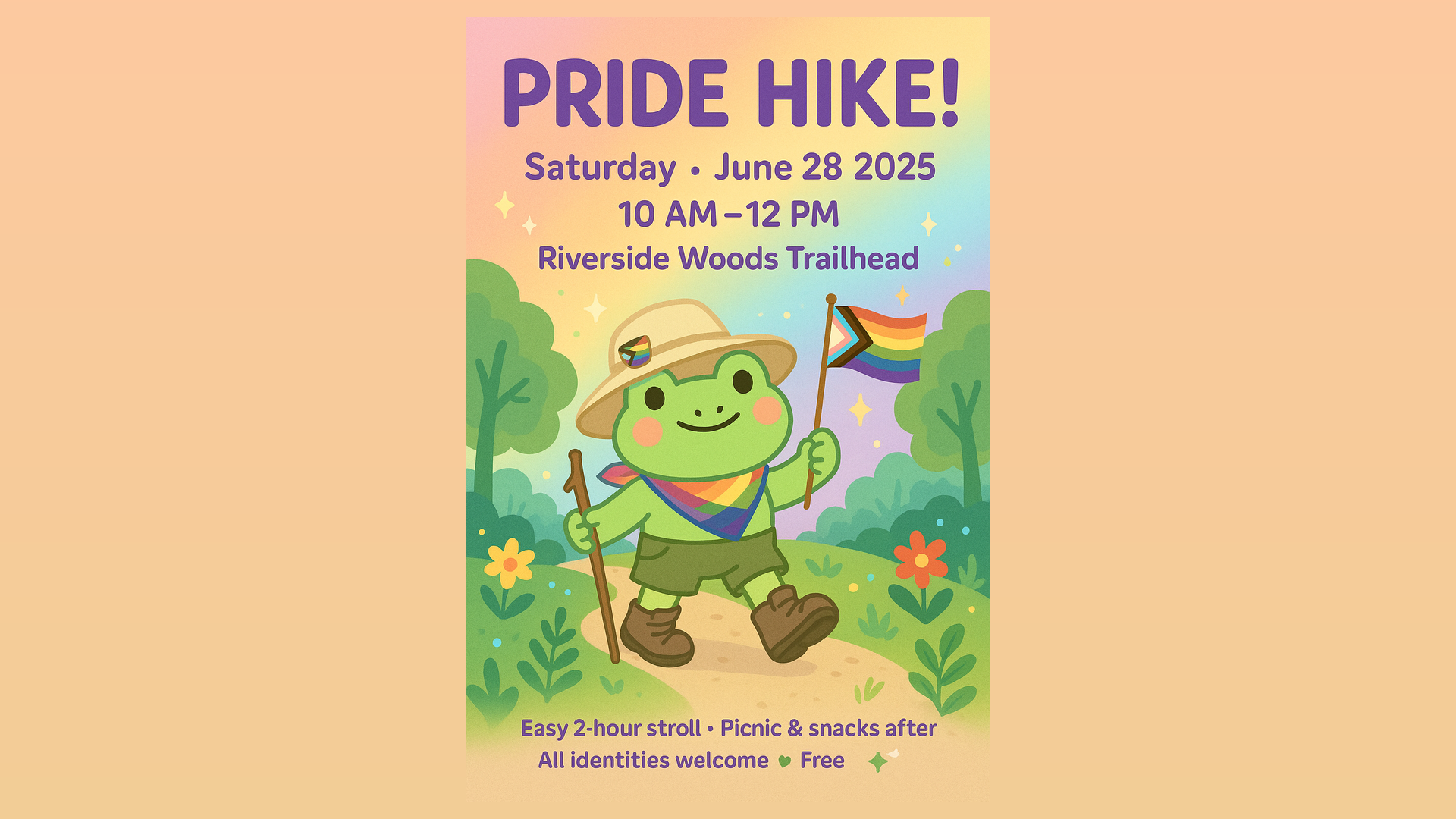
Pride Hike
https://hikesstaging.brucetrail.org/event/pride-hike/Sorry, the registration cut-off time for this hike has been reached.Not a member? Click here to join today!Hosting Club: Caledon Hills
Category: Introductory
Location (Google Maps): From Hwy #10 north of Orangeville, turn east on Hockley Road.
Drive for 1.1 km.
Continue straight onto Side Road 5 for 1.6 km.
Turn left onto 1st Line EHS for 900 metres.
Continue straight into the parking lot.***DO NOT take 1st Line EHS south from Hockley Road. It is NOT maintained. Google Maps may suggest this impassable route.
Hike Leader(s): Dylan “Lana” Hubbard Click here to contact Hike Leader(s)
Pace: Leisurely – 3 km/hour or less
Terrain: Easy – mostly flat and usually good footing
Distance: 4.5 kmDescription
Celebrate Pride together in nature. This community hike will be a leisurely 5 km loop on a well-maintained forested trail. Wear comfortable, sturdy shoes. Bring sunscreen, bug spray, a picnic lunch, and a beverage. Light refreshments prepared by members of our club will also be served. Everyone will receive a Bruce Trail Conservancy Pride Badge.This hiking event is a 2SLBGTQIA+ safe space. The CHBTC is committed to providing an inclusive and welcoming environment. Everyone is invited to join