
Hike Schedule
Join us for a hike! Registration required.
All hikes available to BTC members. Some hikes are open to non-members.
See Refund Policy for Paid Hikes >
TIP: The calendar view displays up to 7 hikes on a day, but often there are more. Click “View more events” to see them all.
Categories
- 25May 25, 2025
Waterfall Test Hike
https://hikesstaging.brucetrail.org/event/waterfall-test-hike/Sorry, the registration cut-off time for this hike has been reached.Not a member? Click here to join today!Hike open to BTC Members only.
Hosting Club: Iroquoia
Category: City of Waterfalls – Special Event Fundraiser
Location (Google Maps): LocationHike Leader(s): BTC Staff Click here to contact Hike Leader(s)
Pace: Leisurely – 3km/hr or less
Terrain: Strenuous – Hilly with steep climbs and some poor footing
Distance: 12Description
info about hike
Speyside to Canada Goose (E2E)
https://hikesstaging.brucetrail.org/event/speyside-to-canada-goose-e2e/Sorry, the registration cut-off time for this hike has been reached.Not a member? Click here to join today!Hosting Club: Iroquoia
Category: General Hike
Location (Google Maps): Meet in the Bruce Trail parking lot on 22 Side Road at 9:15 am.Hike Leader(s): Karen Bergmann Click here to contact Hike Leader(s)
Pace: Medium – 3 to 4 km/hr
Terrain: Moderate – Some hills and/or some poor footing
Distance: 8 kmsDescription
Meeting at 9:15 am in the Bruce Trail parking lot at the corner of 22 Side Road and 4th Line, we will carpool to 15 Side Road at Speyside and hike back along the main trail. There are some rocky parts to this hike.
Urban Walk: Toronto Urban Badge Hike - 3 of 7
https://hikesstaging.brucetrail.org/event/urban-walk-toronto-urban-badge-hike-3-of-7-2/Sorry, the registration cut-off time for this hike has been reached.Not a member? Click here to join today!Hosting Club: Toronto
Category: Urban Walk
Location (Google Maps): Toronto Waterfront TrailHike Leader(s): Brian Rideout Click here to contact Hike Leader(s)
Pace: Moderate (3-4 km/hr)
Terrain: Flat
Distance: 10.4 kmDescription
Please join me at the south west corner of Lakeshore Blvd West and Ellis by 10 AM. We will hike east along the Waterfront Trail to the Distillery District (km 8.3 to km 71.4). Here is an online map with km markings of our route for all 7 hikes for the Toronto Urban Badge: https://onthegomap.com/s/c2c1hf3nPlease make sure you bring at least 2 liters of water, a lunch, bug spray and sunscreen.
Exploring Sydenham Hike #23
https://hikesstaging.brucetrail.org/event/exploring-sydenham-hike-23/Sorry, the registration cut-off time for this hike has been reached.Not a member? Click here to join today!Hosting Club: Sydenham
Category: General Hike
Location (Google Maps): Meet in the parking lot behind the Grey-Sauble Conservation Authority head office.
237897 Inglis Falls Road, Owen SoundHike Leader(s): Bill Snel Click here to contact Hike Leader(s)
Pace: Leisurely: 3 km/h or less
Terrain: Moderate: Some hills and/or poor footing
Distance: 5.5 kmDescription
We will do a hike of the Creamery Hill loop. This is hike 23 in the book, Exploring Sydenham. There are no secrets to locate. If you do not have a book and would like one ($30) let me know by using the “Contact hike leader” link.
Pre-AGM Corn Hole Tournament
https://hikesstaging.brucetrail.org/event/pre-agm-corn-hole-tournament/Sorry, the registration cut-off time for this hike has been reached.Not a member? Click here to join today!Hike open to BTC Members only.
Hosting Club: Niagara
Category: Register
Location (Google Maps): Queenston Pavilion, Queenston Heights Park, 14184 Niagara Parkway, Niagara on the LakeDescription
Please go to the registration table at the far pavilion when you arrive. If you do not already have a Niagara Parks parking pass, a free day pass will be given to you at the registration table.The corn hole tournament will begin at 2 pm. There will be two people on each team and 4 people per corn hole board. Teams will be assigned. The preliminary games beginning at 2 pm will be 15 minutes long and will end just prior to the AGM meeting. The championship game for the top two teams will be held once the AGM portion of the meeting is complete.
NBTC Annual General Meeting
https://hikesstaging.brucetrail.org/event/nbtc-annual-general-meeting/Sorry, the registration cut-off time for this hike has been reached.Not a member? Click here to join today!Hike open to BTC Members only.
Hosting Club: Niagara
Category: Register
Location (Google Maps): Queenston Pavilion, Queenston Heights Park, 14184 Niagara Parkway, Niagara on the LakeDescription
Come out to meet the Niagara Bruce Trail Club Board as well as other members!Learn what the board has done and what their future plans are. Hear from BTC CEO Michael McDonald what has been happening at the Bruce Trail Conservancy. Make your voice heard.
When you arrive, please register at the registration desk at the pavilion. If you don’t already have a Niagara Parks parking pass, you can pick up a free day pass at the registration desk.
Food, beverages and dessert will be provided. If you are able, please bring a salad to share with others. In order to be environmentally friendly, we are asking everyone to bring their own plate and cutlery.
There will be a corn hole tournament beginning at 2 pm prior to the meeting. The championship game for the tournament will be held just after the meeting. If you are interested in participating, please sign up separately on the hike schedule.
- 26May 26, 2025
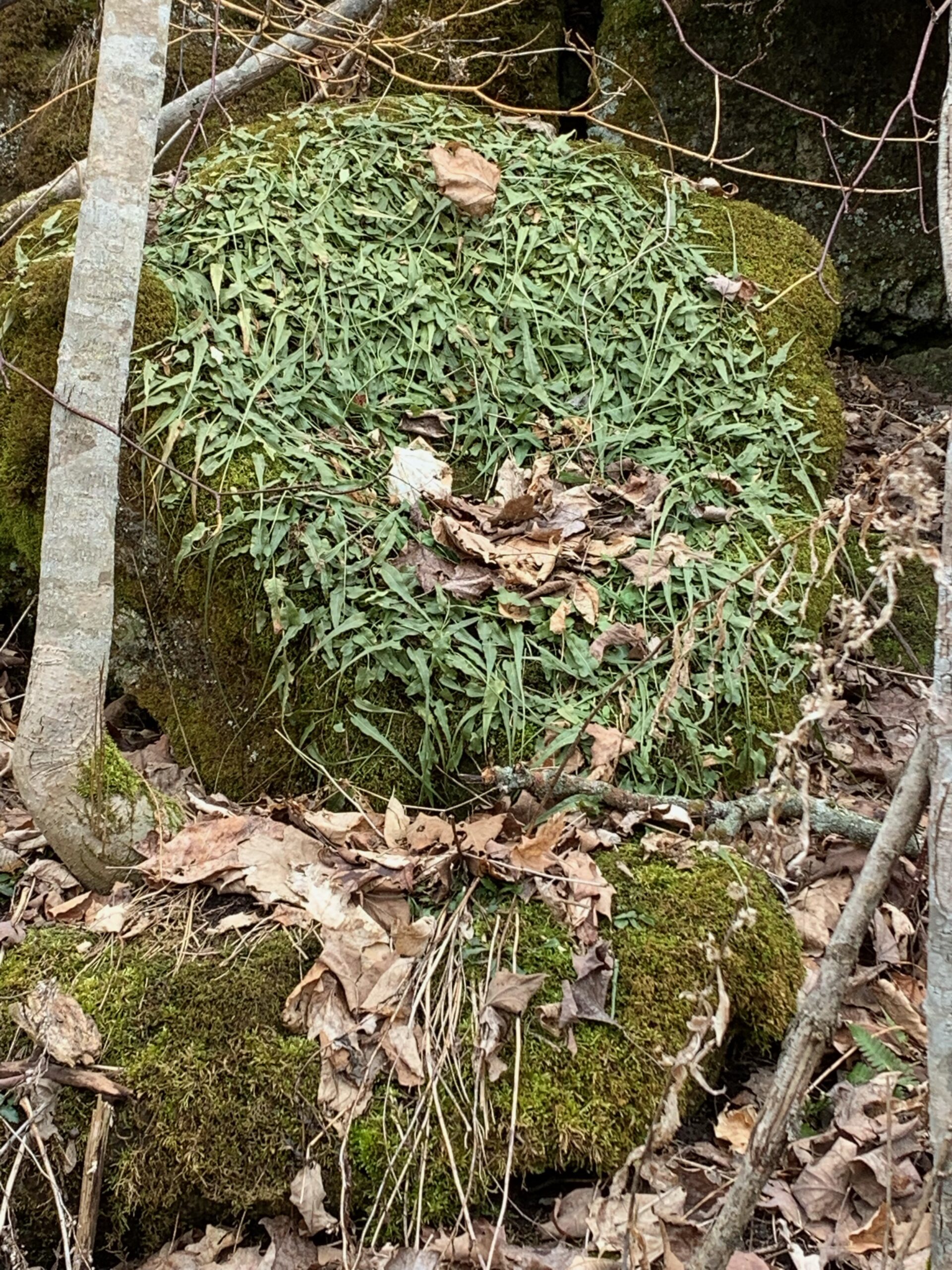
Wildflower Search
https://hikesstaging.brucetrail.org/event/wildflower-search-2/Sorry, the registration cut-off time for this hike has been reached.Not a member? Click here to join today!Hosting Club: Iroquoia
Category: Wildflowers and Spring Ephemerals
Location (Google Maps): Hilton Falls Conservation Area, Campbellville Rd. between Highway 25 and Guelph LineHike Leader(s): Anne Armstrong Click here to contact Hike Leader(s)
Pace: Leisurely – 3km/hr or less
Terrain: Moderate – Some hills and/or some poor footing
Distance: Approx. 9 – 10 km.Description
We continue our search for wildflowers in this area, rich in natural beauty, water management and some interesting history. We will use park walking trails as well as some biking trails . Expect some rocky areas. Meet in the. main parking lot at 9:45 am. for a 10:00 am. start. Bring water, sunscreen, a snack and poles is using. You will need to make a reservation with Halton Conservation Area Parks to enter the area.
Leader: Anne ArmstrongDuncan Crevice Caves Provincial Nature Reserve
https://hikesstaging.brucetrail.org/event/duncan-crevice-caves-provincial-nature-reserve/Sorry, the registration cut-off time for this hike has been reached.Not a member? Click here to join today!Hike open to BTC Members only.
Hosting Club: Sydenham
Category: General Hike
Location (Google Maps): Map 25 at 33.3 at the parking for Duncan caves, Beaver Valley section. If you can carpool with a friend that would be great. If you would like to carpool with me, we can arrange through email a location where I can pick you up.Hike Leader(s): Cindy Paczkowski Click here to contact Hike Leader(s)
Pace: Leisurely: 3 km/h or less
Terrain: Strenuous: Hilly with steep climbs and some poor footing., There might be muddy sections., There might be sections with water on the trail.
Distance: 10 kmDescription
Some interesting and challenging terrain. Lots of flora and amazing geological formations including caves and crevices. There can be some wet sections. Wear sturdy footwear and poles are recommended. Be prepared for biting insects this time of year and please wear long pants or at least long socks to protect from ticks and poison ivy. Also bring water and a snack to enjoy. An email will be sent by 8 am of hike day should there be any cancellation due to inclement weather. - 27May 27, 2025
8:00 Long Hike Wiley Road Short Hills (NEW TIME)
https://hikesstaging.brucetrail.org/event/800-long-hike-wiley-road-short-hills-new-time-4/Sorry, the registration cut-off time for this hike has been reached.Not a member? Click here to join today!Hosting Club: Niagara
Location (Google Maps):
Short Hills Wiley Road Entrance
Pace: Medium
Terrain: Moderate
: 10kmDescription
Explore Short Hills and the majestic side trails of Scarlett Tanager, Hemlock. Swayze Falls and Terrace. Register for each hikeBring Poles, Sun Screen Bug Spray, snack, and dress for the weather
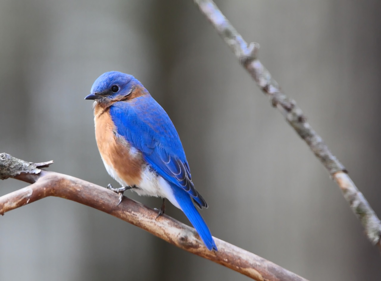
Spring Birding: Wetlands, Meadow and Forest Hike
https://hikesstaging.brucetrail.org/event/spring-birding-wetlands-meadow-and-forest-hike/Sorry, the registration cut-off time for this hike has been reached.Not a member? Click here to join today!Hosting Club: Peninsula
Category: Birding
Location (Google Maps): Meet at the corner of Crooked Toe Road and Boundary Road. Please carpool, if possible.Hike Leader(s): Marg Glendon & Miptoon Click here to contact Hike Leader(s)
Pace: Leisurely (2.0 – 3.0 km/h): A relaxed pace with frequent breaks and a focus on enjoyment.
Terrain: Easy: Flat forested sections or lowland trails., Moderate: Rolling hills, mild slopes and rocky paths.
Distance: ~3 kmDescription
Join us for a guided birding hike on the Saugeen Peninsula. Miptoon, a respected Knowledge Holder and local birding enthusiast from Neyaashiinigmiing will share his joy and knowledge of birds throughout our hike. As migrating birds return for the spring and summer, we’ll explore diverse habitats—including wetlands, forests, and meadows—offering a chance to observe a variety of bird species. Bring binoculars, a light backpack with essentials (snacks, water, and ID resources), and dress appropriately with long-sleeved clothing, a hat, and waterproof hiking boots. Be prepared for possible wet terrain. Hiking poles, gaiters, bug net hat and insect repellent are optional. This hike will be ~2 hours in duration. Participants are welcome to linger longer, if they wish. Raindate – May 28th.Dufferin Hi-Land 60th Anniversary Highlight Hikes, Hike 6: Rock Hill, Moss Haven Side Trails
https://hikesstaging.brucetrail.org/event/dufferin-hi-land-60th-anniversary-highlight-hikes-hike-6-rock-hill-moss-haven-side-trails/Sorry, the registration cut-off time for this hike has been reached.Not a member? Click here to join today!Hosting Club: Dufferin Hi-Land
Category: Tuesday Hike
Location (Google Maps):Dufferin Hi-Land, Map 20. Meet at Rock Hill parking lot on 1st Line Mulmur, just south of 10 Sideroad (Km 28.3).
Hike Leader(s): Les Babbage, Inge Eckerich, Julie Daley, Tony Evangelista Click here to contact Hike Leader(s)
Pace: Leisurely, Medium
Terrain: Moderate
Distance: 5.5 km; Short Hike: 3.5 kmDescription
Our celebration of Dufferin Hi-Land BTC’s 60th Anniversary continues with another highlight of the section. Hike 60 km in Dufferin during 2025 and you qualify for the 60th Anniversary badge.Today’s hike includes two loops. The Main Trail/Moss Haven Side Trail loop takes us into the Boyne Valley and back beside a scenic stream that tumbles down to Oliver Creek. The second loop consisting of Main Trail and Rock Hill Park Side Trail takes us over and beside a stunning collection of crevices. The short hike will end after the first loop. Bring water, snacks.
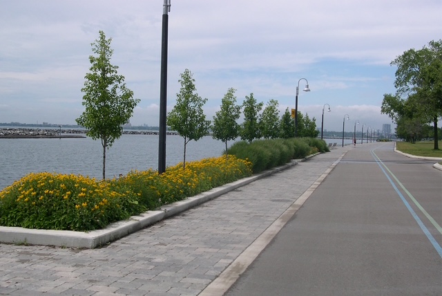
Urban Walk: High Park and Toronto Waterfront Trail
https://hikesstaging.brucetrail.org/event/urban-walk-high-park-and-toronto-waterfront-trail-3/Sorry, the registration cut-off time for this hike has been reached.Not a member? Click here to join today!Hosting Club: Toronto
Location (Google Maps):
High Park Subway Station Street Level (East Exit – High Park Avenue (by the bus loop)
Hike Leader(s): Miriam Stevens Click here to contact Hike Leader(s)
Pace: Leisurely (2-3 km/hr)
Terrain: Flat, Level 1 (Easy – mostly on flat, well maintained trails with hard-packed surface)
Distance: 10 KMDescription
Join us for a leisurely hike through High Park and then east along Toronto’s Waterfront Trail to Harbourfront Centre passing though many small parks including the Music Garden. Refreshments at a coffee shop on Queens Quay at Harbourfront. Bring lunch and drinking water. Dropout any time. We’ll arrive at Harbourfront Centre around 2:00 PM. This will be repeated Tuesday May 13th, Tuesday May 27th, Tuesday June 3rd, and Tuesday June 24th. No pre registration is required. Just show up 15-20 minutes before to departure time to sign in with the hike leader.
Afternoon Hike - Crawford Lake
https://hikesstaging.brucetrail.org/event/afternoon-hike-twiss-road/Sorry, the registration cut-off time for this hike has been reached.Not a member? Click here to join today!Hosting Club: Iroquoia
Category: Afternoon/Evening Hikes
Location (Google Maps): Meet in the first parking lot at 4:15 pmHike Leader(s): Karen Bergmann Click here to contact Hike Leader(s)
Pace: Medium – 3 to 4 km/hr
Terrain: Moderate – Some hills and/or some poor footing
Distance: 6 kmsDescription
We will hike around the park loop and perhaps the boardwalk. - 28May 28, 2025
Car Hike: Blue Mountains E2E, hike #1 of 3
https://hikesstaging.brucetrail.org/event/car-hike-blue-mountains-e2e-hike-1-of-3/Sorry, the registration cut-off time for this hike has been reached.Not a member? Click here to join today!Hike open to BTC Members only.
Hosting Club: Toronto
Category: Car Hike
Location (Google Maps): Road side parking, Mulmur Nottawasaga Townline, at the cemetery. Coordinates N 44.268777,W 80.156810 map 21 edition 31Hike Leader(s): Smadar junkin Click here to contact Hike Leader(s)
Pace: Brisk (4-5 km/hr)
Terrain: Hilly, Variable
Distance: 22 kmDescription
Welcome to Blue Mountains E2E, we will hike the section in 3 days. Please register to each hike individually. We will enjoy the beautiful section and go up and down the hills. Please bring 2 litres of water, bug protection, snacks and lunch. If you need to get in touch with me, email me on my email address provided in this posting. Arrive 15 minutes early so we can shuttle by 8:30. Please note that we are shuttling to a paid parking. Everyone is expected to pay their share of the parking.WEDNESDAY WALKERS - Loree Forest
https://hikesstaging.brucetrail.org/event/wednesday-walkers-loree-forest-3/Sorry, the registration cut-off time for this hike has been reached.Not a member? Click here to join today!Hosting Club: Beaver Valley
Location (Google Maps): Paid parking on the shoulder of the 21st Side Road. Map 24, Edition 31 (Arrangements can be made in advance to shuttle to the trailhead.)
Hike Leader(s): Margaret Yaraskavitch Click here to contact the hike leader.
Pace: Medium
Terrain: Easy
Length of Hike: 6.5 kmsDescription
We will take the access road into Loree Forest where we will then walk a loop. Most of the Trail is flat. There will be views of Nottawasaga Bay and a walk through a mature deciduous forest. Then we take the access road back to our parking area. A popular well-enjoyed route. Please bring water and a snack.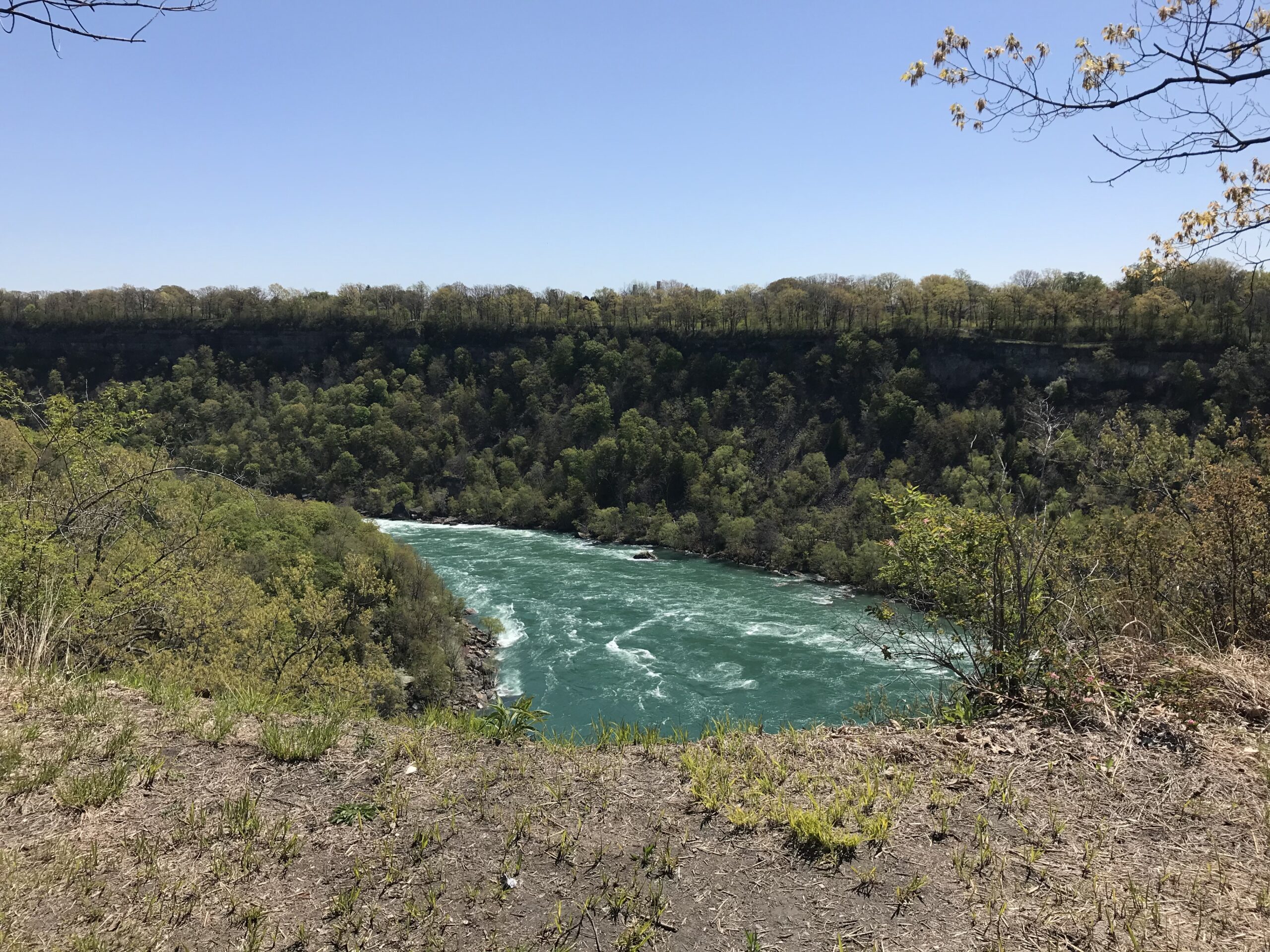
Niagara Glen Short and Sassy
https://hikesstaging.brucetrail.org/event/niagara-glen-short-and-sassy-4/Sorry, the registration cut-off time for this hike has been reached.Not a member? Click here to join today!Hosting Club: Iroquoia
Category: Good Companions
Location (Google Maps):Niagara Glen, 3050 Niagara Parkway, Niagara-on-the-Lake, ON
Hike Leader(s): Craig Sim Click here to contact Hike Leader(s)
Pace: Medium – 3 to 4 km/hr
Terrain: Moderate – Some hills and/or some poor footing
Distance: 6-7k (approximate)Description
Loop hike in beautiful Niagara Glen, NOT using Whirlpool Trail. We meet in between Niagara Glen parking lot and building near lot. Pay parking or Niagara parks pass. Trail ranges from moderate to quite rocky, has hills and stairs. Watch footing. Lots of boulders and great views close to Niagara River. We descend steel stairs before and after hike. Wear hiking boots or shoes. Bring water, snack, appropriate layered clothing for the weather and rain gear. Optional beverage/food after. Niagara Glen is close to both Butterfly Conservatory and Floral Clock.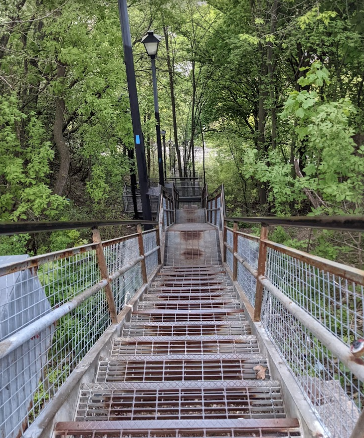
WEEKNIGHT RAINBOW HIKE: Escarpment Rail Trail plus Stairs
https://hikesstaging.brucetrail.org/event/weeknight-rainbow-hike-escarpment-rail-trail-plus-stairs/Sorry, the registration cut-off time for this hike has been reached.Not a member? Click here to join today!Hosting Club: Iroquoia
Category: Afternoon/Evening Hikes
Location (Google Maps): We’ll meet at the bottom of the Wentworth Stairs (below Charlton St.) and follow Escarpment Rail TrailHike Leader(s): Doug O’Neill Click here to contact Hike Leader(s)
Pace: Medium – 3 to 4 km/hr
Terrain: Easy – Mostly flat and usually good footing
Distance: 8 kmDescription
This all-inclusive LGBTQ-friendly hike is indeed “mostly flat.” But, as your mama no doubt told you: “Men can lie.” 🙂 This weeknight fitness walk actually includes two Escarpment Stairs. The good news: You’ll climb only one and dance down the other.From the bottom of Wentworth Stairs, we’ll follow the flat Escarpment Rail Trail all the way to the historic Uli Stairs, which we’ll climb up to Mountain Brow. Upon reaching the top, we’ll take a break, stretch, have a snack and gulp some water before we saunter along the Mountain Brow path to Margate Stairs. There, we’ll descend to the Rail Trail, and head back to the starting point at Wentworth.
Bring water and energizing snacks—especially if you’ve come directly from work. Insect repellent is a good idea, too.
Consider this 8-km weeknight hike good training for longer weekend hikes.
- 29May 29, 2025
8:00 am Long Hike Glen Road Jordan NEW TIME
https://hikesstaging.brucetrail.org/event/800-am-long-hike-glen-road-jordan-new-time-5/Sorry, the registration cut-off time for this hike has been reached.Not a member? Click here to join today!Hosting Club: Niagara
Location (Google Maps):
Glen Road Jordan
Pace: Medium
Terrain: Moderate
: 10kDescription
This will be our permanent Thursday Location until Bridge repairs complete. From Glen Road explore the trail network on the escarpment towards Balls Falls and Moyer Road.You must register for each hike. Bring Poles, snack bug spray, sunscreen and a drink. Dress for the weather
Car Hike: Blue Mountains E2E 2/3
https://hikesstaging.brucetrail.org/event/car-hike-blue-mountains-e2e-2-3/Sorry, the registration cut-off time for this hike has been reached.Not a member? Click here to join today!Hosting Club: Toronto
Category: Car Hike
Location (Google Maps):Map 22- Km 21.9, Nattawasaga Bluffs Conservation Area. Coordinates N 44.342784,W 80.210628
Hike Leader(s): Smadar Junkin Click here to contact Hike Leader(s)
Pace: Brisk (4-5 km/hr)
Terrain: Challenging, Hilly
Distance: 25 kmDescription
Second hike in the Blue Mountains E2E series. This is the longest hike of the series. Beautiful, hilly and challenging. Please bring 2litres of water. Arrive 15 minutes early. The meeting place parking is a paid parking, everyone is expected to pay their share of the parking fees. We will shuttle to km 46.8 and hike back.Hiking Around Cave springs. NEW LOCATION
https://hikesstaging.brucetrail.org/event/hiking-around-cave-springs-new-location-10/Sorry, the registration cut-off time for this hike has been reached.Not a member? Click here to join today!Hosting Club: Niagara
Location (Google Maps):
Cave Springs Conservation Area)
Hike Leader(s): Bill Russell Click here to contact Hike Leader(s)
Pace: Medium
Terrain: Moderate
Distance: 6kDescription
Hiking in and around Cave Springs
Hidden Valley to Hendrie Valley
https://hikesstaging.brucetrail.org/event/hidden-valley-to-hendrie-valley/Sorry, the registration cut-off time for this hike has been reached.Not a member? Click here to join today!Hosting Club: Iroquoia
Category: General Hike
Location (Google Maps):Meet at the parking lot at 1137 HIDDEN VALLEY ROAD -east side of Road -by the Hidden Valley Park washrooms(NOT the south lot off Lemonville Rd)
Hike Leader(s): Cathie Green Click here to contact Hike Leader(s)
Pace: Medium – 3 to 4 km/hr
Terrain: Moderate – Some hills and/or some poor footing
Distance: Approximately 8 kmsDescription
We will follow a community trail from Hidden Valley Park in Burlington following Grindstone Creek to RBG Hendrie Valley where we will hike the Bridleand Grindstone Marsh Trails with some road walking to connect the trails –
Lots of wildlife can be seen in this area -birds, deer, swans and wildflowers too
Spring like conditions-wet areas-dress for the weather, bring water, hiking poles, boots, lunch or snack.
https://maps.app.goo.gl/ajsLB5BP3zwBGtCCA
Urban Walk: Toronto Islands Evening Walk
https://hikesstaging.brucetrail.org/event/urban-walk-toronto-islands-evening-walk-13/Sorry, the registration cut-off time for this hike has been reached.Not a member? Click here to join today!Hosting Club: Toronto
Location (Google Maps):
Jack Layton Ferry Terminal, near the gates to Wards Island Ferry. Arrive 20 minutes prior to departure to check in with hike leader.
From Union Station take the LRT and get off at the stop Ferry Docks.Walk up to the Ferry Docks on Queens Quay West, street level. at the foot of Bay Street.
Hike Leader(s): Miriam Stevens Click here to contact Hike Leader(s)
Pace: Leisurely (2-3 km/hr)
Terrain: Flat
Distance: 6-9 kmDescription
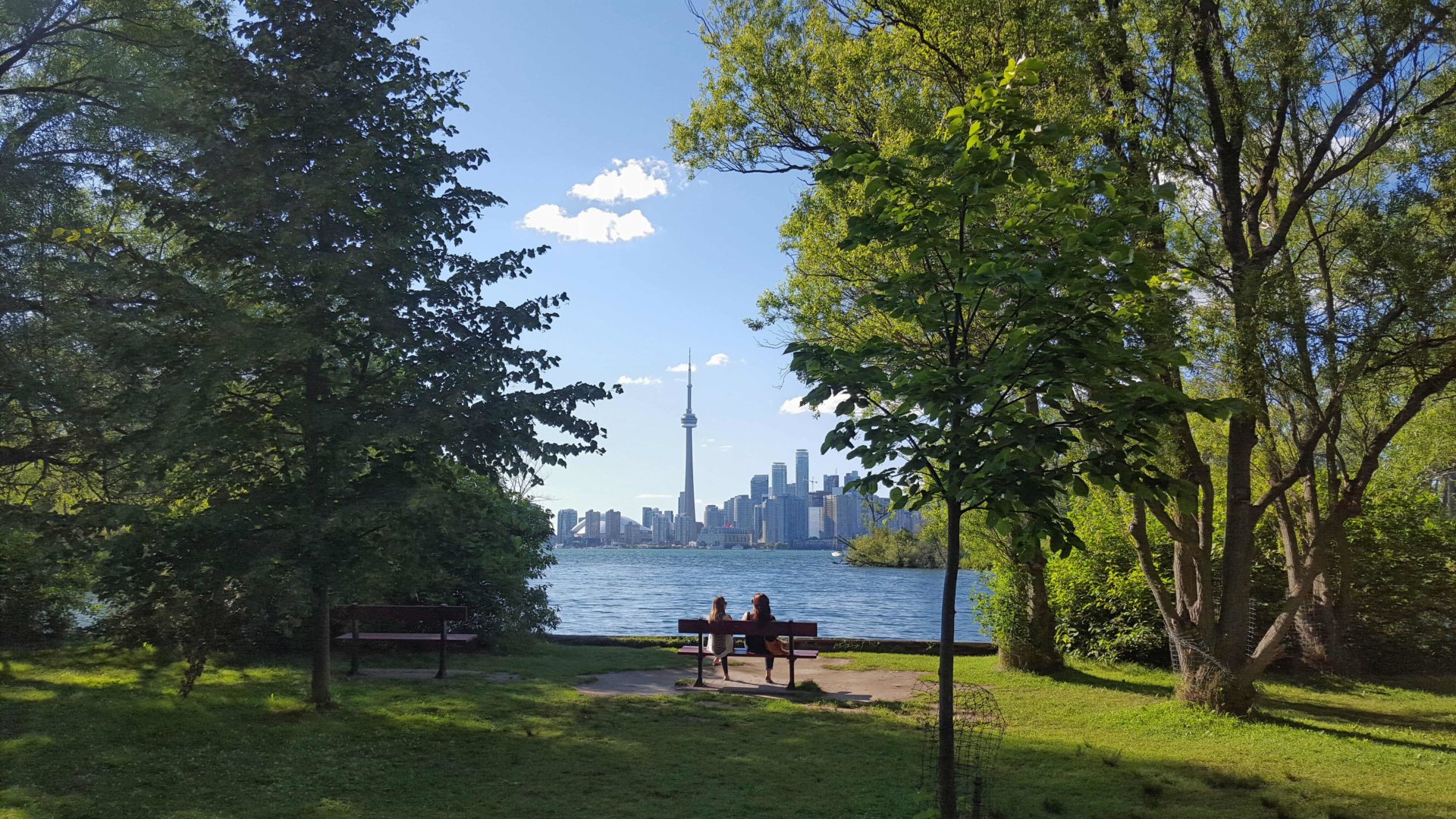
After a day’s work come and “cool off” on the Toronto Islands free of fumes and traffic. Enjoy the view of the city skyline and Toronto’s beautiful island parkland.
Pack a dinner for a sit down picnic. Food is not available for purchase on the Islands early in the season. Also bring a warm jacket and flashlight.
Return fare ticket for the ferry is $9.11 adults and $5.86 seniors.
Hikes will take place rain or shine.
Toronto Island evening hikes will take place every Thursday in May and June 2025.
Same time and same meeting place. No preregistration is required – just show up at the ferry docks at 5:40 PM and sign in with the hike leader. - 30May 30, 2025
Car Hike: Blue Mountain E2E 3/3
https://hikesstaging.brucetrail.org/event/car-hike-blue-mountain-e2e-3-3-2/Sorry, the registration cut-off time for this hike has been reached.Not a member? Click here to join today!Hosting Club: Toronto
Category: Car Hike
Location (Google Maps):Map # 23- North of km 46.8, 380 meters north of the main trail crossing on Pretty River Rd. Coordinated N 44.430927,W 80.275390
Hike Leader(s): Smadar Junkin Click here to contact Hike Leader(s)
Pace: Brisk (4-5 km/hr)
Distance: 21
Description
Hike #3 of 3. Badge day! Beautiful and hilly. This is a brisk pace hike. The pace is expected to be 4 to 4.5 km per hour. Bring 2 litres of water. Aim to get there 15 minutes early. We will shuttle to km 67.3 and walk back.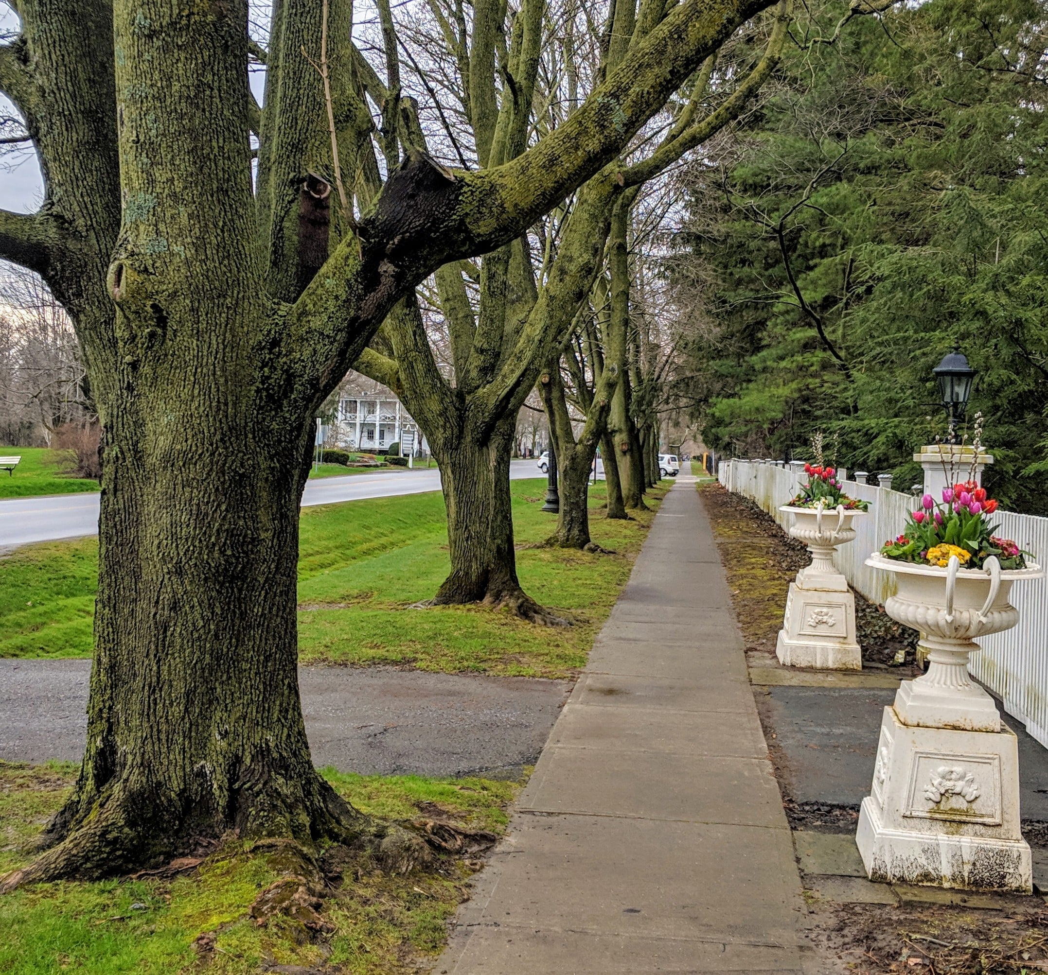
Niagara-on-the-Lake Tour
https://hikesstaging.brucetrail.org/event/niagara-on-the-lake-tour-10/Sorry, the registration cut-off time for this hike has been reached.Not a member? Click here to join today!Hosting Club: Niagara
Location (Google Maps): Park on King St, Centre St near Veteran’s Memorial Park
Hike Leader(s): Margaret Northfield Click here to contact Hike Leader(s)
Pace: Medium
Terrain: Easy
Distance: 6-7kmDescription
Each Friday we will explore different neighbourhoods, trails and parkland throughout Historic Niagara-on-the-Lake.Moderate pace with some weeks entirely on sidewalks and roads while others may include a mix of trails and paved pathways. Great way to build up endurance for longer more strenuous hikes.
Prepare for cooler windy conditions on open parkland and along Lake Ontario and Niagara River trails.
Plan to stay for conversation and a warm cup of coffee or tea at Sweets and Swirls, Community Centre, 14 Anderson Lane, (just off Niagara Stone Rd), NOTL
- 31May 31, 2025
Peninsula Sunrise Series: Cape Chin Maple Cross Reserve
https://hikesstaging.brucetrail.org/event/peninsula-sunrise-series-cape-chin-maple-cross-reserve/Sorry, the registration cut-off time for this hike has been reached.Not a member? Click here to join today!Hosting Club: Peninsula
Category: Sunrise Hike
Location (Google Maps): Bruce Trail Roadside Parking at 193 Cape Chin North Rd. #301Hike Leader(s): Kathleen Stahlbaum
Pace: Leisurely (2.0 – 3.0 km/h): A relaxed pace with frequent breaks and a focus on enjoyment.
Terrain: Easy: Flat forested sections or lowland trails.
Distance: ~6kmDescription
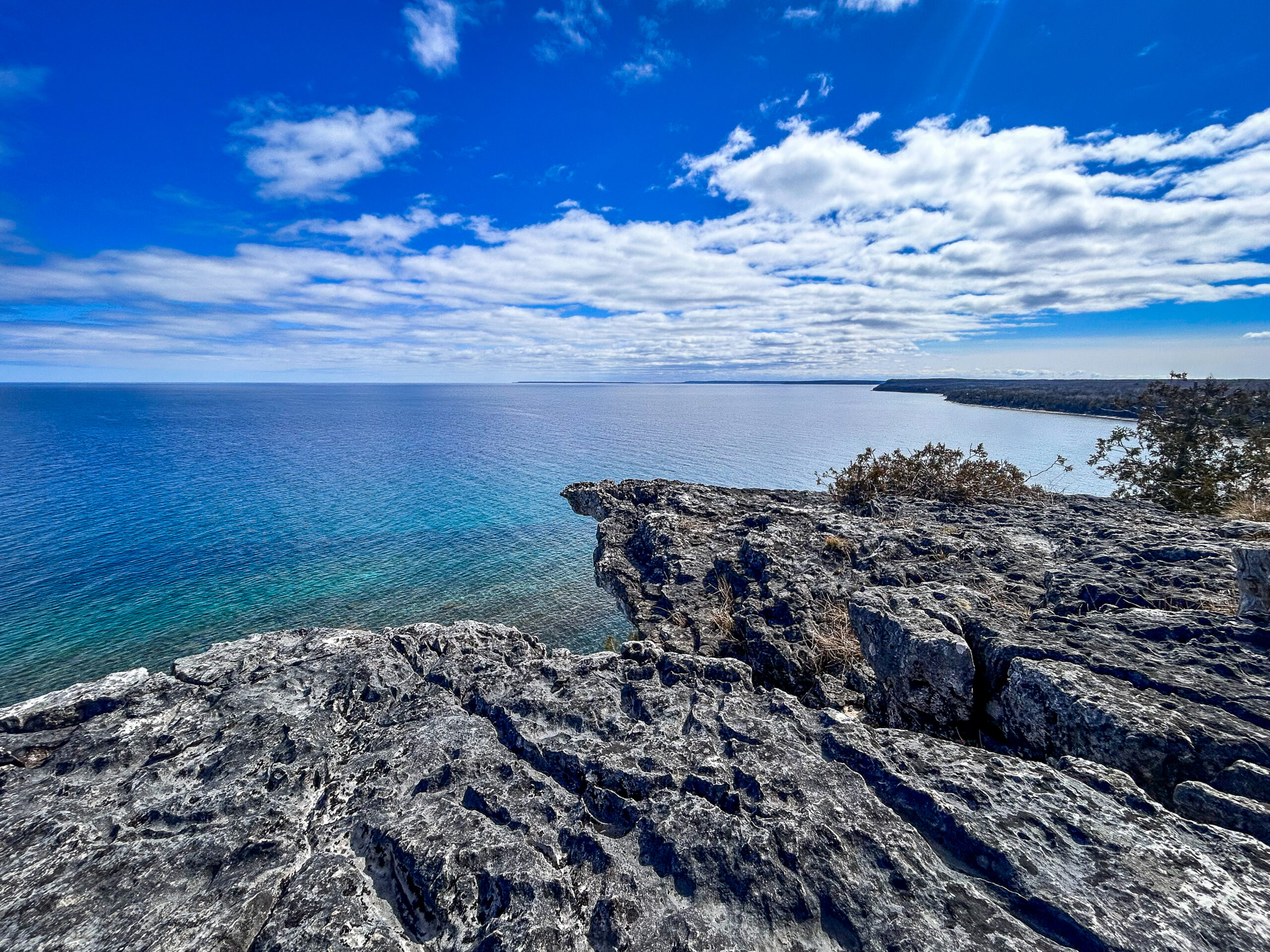
Experience the magic of dawn on the Bruce Trail with the Sunrise Hike Series offered by the Peninsula Bruce Trail Club. These early morning hikes provide a perfect opportunity to awaken your senses, boost your energy, and immerse yourself in the tranquility of nature as the sun paints the sky with breathtaking hues. As we make our way through scenic forest trails, we’ll pause to witness the first light shimmering on the turquoise waters of Georgian Bay – a sight that will surely leave you in awe!Beyond the beauty, morning light helps regulate your circadian rhythm, elevating your mood, boosting energy levels and improving sleep quality. Whether you’re looking to start your day with a sense of calm, capture stunning sunrise photos, or simply reconnect with nature, these hikes offer a unique and inspiring way to greet the day.
On Saturday May 31st, join us in hiking the Cape Chin Maple Cross property to the edge of the Niagara Escarpment, where we’ll experience the sun rising over the Bay from the iconic Cape Chin lookout. We’ll have the joy of taking in the stunning colours of the sky as the first light sparkles on the stunning turquoise waters. This peaceful sunrise hike is the perfect way to connect with nature, capture some incredible photos, and start the day with fresh air and inspiration. Whether you’re a morning person or just love a good adventure, come experience the magic of dawn from one of the best vantage points on the Bruce Peninsula!
Don’t forget to bring a headlamp or flashlight (preferably with a red light setting) as we begin our adventure in the pre-dawn quiet. Join us and discover how a sunrise hike can nourish your mind, body, and spirit—setting the tone for a brighter, more balanced day.
This hike is approximately 6 kms in length. Expect to be on the trail for 2.5-3 hours. Pace will be leisurely with ample time to enjoy the sunrise, take some photographs, and nourish yourself!
How to prepare
- Get a good night’s sleep
- Bring lots of water and a snack (breakfast and/or coffee are recommended if that’s your thing!)
- Bring a headlamp or flashlight (preferably with a red light setting)
- Wear waterproof hiking boots (There will be mud!)
- Hiking poles are recommended but not necessary
- Bring insect repellant or wear protective clothing

Falling Water Trail Badge Event - (participants hike independently, no hike leader)
https://hikesstaging.brucetrail.org/event/falling-water-trail-badge-event-participants-hike-independently-no-hike-leader/Sorry, the registration cut-off time for this hike has been reached.Not a member? Click here to join today!Hosting Club: Beaver Valley
Location (Google Maps): Meet in the Beaver Valley Ski Club Lower parking lot at the far south end of the lot, past the tennis courts (do not park by the private picnic area near the river and bridge). Map 26, Edition 31 N44.357382, W80.543331
Hike Leader(s): Glenda Collings Click here to contact the hike leader.
Pace: Medium
Terrain: Moderate, Strenuous, Some steep sections, Some rocky footing
Length of Hike: 30.1km You set your own pace, however a medium pace will get the job done in a timely fashion.Description
Come and test your mettle! This is a 30.1 km loop hike that traverses the beautiful, rugged upper Beaver Valley. It’s a challenging hike during which you’ll experience all that spring has to offer, including cascading creeks, waterfalls and possibly muddy conditions. Registrants should have experience with hiking long distances over strenuous terrain.Registration will be through the Bruce Trail Conservancy Online Calendar and will open at 8:30 a.m. on March 3, 2025. The $40.00 registration fee covers the cost of the online registration fee, check point refreshments and the badge.
Further details of the event will be emailed to participants once registration is received. For more information contact beavervalleytrailactivities@gmail.com
School Bus Hike: Grand Valley Trail - Kitchener & Blair
https://hikesstaging.brucetrail.org/event/school-bus-hike-grand-valley-trail-kitchener-blair/Sorry, the registration cut-off time for this hike has been reached.Not a member? Click here to join today!Trip Information
Departure Time: 08:00
Return to City Time: 18:30
Departure Point: York Mills Bus PickupOptional Items
Hosting Club: Toronto
Category: Bus Hike
Location (Google Maps): Grand Valley Trail – Kitchener & BlairHike Leader(s): Tom Swales, Jeanette Vincent Click here to contact Hike Leader(s)
Pace: Moderate (3-4 km/hr)
Terrain: Level 2 (Intermediate – some hills and uneven surfaces, rocks and roots underfoot)
Distance: 15 kmDescription
We will hike some of the Grand Valley Trails Association (GVTA) trails along with other local trails and the rare Charitable Research Reserve trail close to and beside the Grand River. Today Jeanette Vincent, a hike leader with both the TBTC and GVTA will co-lead and meet us in her local town of Kitchener. It being Spring wildflower season we shall have the opportunity to enjoy some of those.A little about the trails that we will be hiking:
The Grand Valley Trail is a 250-kilometre footpath that stretches between the village of Belwood to Port Maitland, near Rock Point Provincial Park, on Lake Erie, south of Dunnville. https://www.gvta.on.ca/Grand-Valley-Trail.htm
Rare Charitable Research Reserve In the mid-1990s, the University of Guelph explored opportunities to sell these lands, sparking a grassroots campaign from concerned citizens to ensure these lands were protected in perpetuity. As a result of this campaign, 913 acres were purchased as part of a new community-based conservation strategy. By February 2001, the land transfer was completed and, on December 6, 2001, the charity that would become the rare Charitable Research Reserve was incorporated as a community-based urban land trust, nature reserve and environmental institute. https://www.raresites.org/about/history
After the hike we will make a stop in the historic town of Galt, filming location of Handmaids Tale and Murdoch Mysteries because of it’s beautiful old architecture.

Exploring beautiful Mono Cliffs Provincial Park in Spring
https://hikesstaging.brucetrail.org/event/exploring-beautiful-mono-cliffs-provincial-park-in-spring/Sorry, the registration cut-off time for this hike has been reached.Not a member? Click here to join today!Hosting Club: Iroquoia, Dufferin Hi-Land
Category: Good Companions
Location (Google Maps): Mono Community Centre – parking lot is the meeting pointHike Leader(s): Corina Seceleanu Click here to contact Hike Leader(s)
Pace: Medium – 3 to 4 km/hr
Terrain: Moderate – Some hills and/or some poor footing
Distance: 12 to 13 kmDescription
Hello Everyone – this is a Spring hike thoughout the beautiful Mono Cliffs Provincial Park, starting from Mono Cliff Community Centre. Hike will be on main BTC trail and side trails, following white and blue blazes and park trails. We hike in loops starting on Southern Outlier Loop Trail , intersecting and following Spillway Trail , Walter Tovell, Look Out , McCarston’s Lake and Laidlaw and back to the parking lot. Moreover, we will make a short walk to visit the famous sheer cliff of the “Mono” to admire its beauty formation and vista and will continue on the Cliff Top Trail afterwards.This is a Moderate hike – with hilly sections, rocky in some parts and steep climbing sometimes.
Please be prepared and bring with you the basics:
Hiking boots, poles, a lunch / snacks and a minimum 2L of water , rain gear if it’s in the forecast and your enthusiasm. Long pants and sleeves sun protection, bug spray, recommended as well.
The hike is around 4- 4.5 hours with short breaks and a lunch. We will hike at pace 3-3.5 km/h.
Hike is a go -regardless of the weather conditions (we aim for the sunshine; but we’ll take whatever is given)
If any questions or concerns, please contact the Hike leader through this form.
Happy Trails, everyone!
Family Friendly - Eleventh Line Loop
https://hikesstaging.brucetrail.org/event/family-friendly-eleventh-line-loop/Sorry, the registration cut-off time for this hike has been reached.Not a member? Click here to join today!Hosting Club: Blue Mountains
Category: Organized Hike
Location (Google Maps): Tim Horton’s, First Street, CollingwoodHike Leader(s): Vera Cvetkovic Click here to contact Hike Leader(s)
Pace: Leisurely – 3 km/hr. or less
Terrain: Easy – Mostly flat and usually good footing
Distance: 6Description
Description: Easter Weekend Fun Family Friendly Hike. We will drive to a suitable starting point for a hike through the many loop trails off the Eleventh Line, just west of Collingwood. The trails are mostly in the trees and well-sheltered. The hike will be approximately two hours.Other Guidelines
- Arrive 15 minutes before the start of the hike.
- Wear sturdy footwear and appropriate attire for the weather and the terrain.
Hiking poles are a good idea in any season, especially if the terrain is rocky or slippery. In winter, snowshoes or icers/crampons are needed when conditions dictate.
Wearing appropriate clothing and footwear prevents injuries and shows consideration for a safe and positive group hiking experience. - Always carry I.D. and your health card.
- Bring sufficient water and snacks (or lunch if indicated). A minimum of 1L of water is recommended on all hikes, and 3L is recommended for long, challenging hikes in the heat of the summer.
- Bring sunscreen and insect repellent (for spring and summer hikes).
- Bring your own first aid kit.
- Please leave dogs at home.
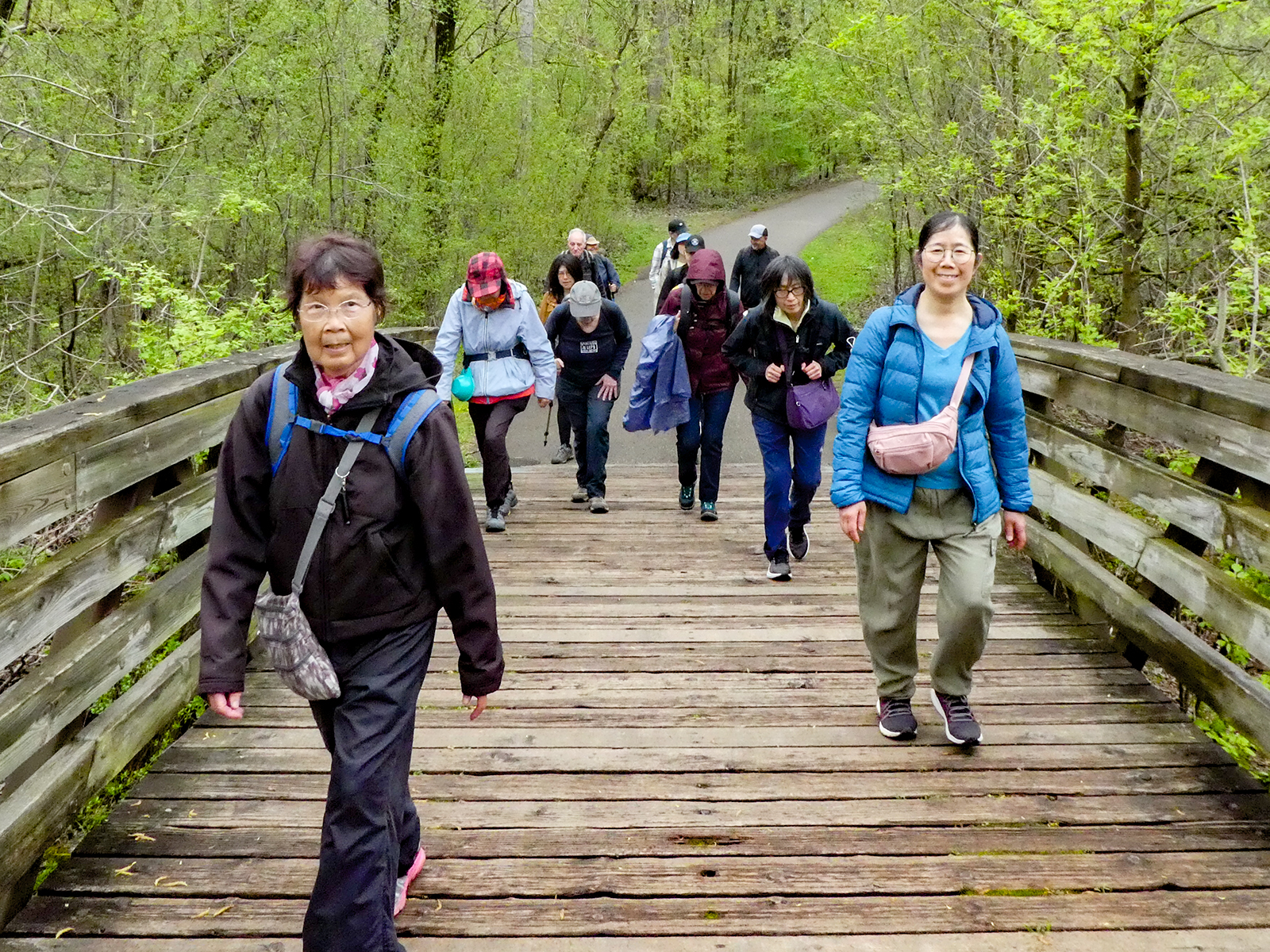
Urban Walk: Toronto Urban Badge Hike - 5 of 7
https://hikesstaging.brucetrail.org/event/urban-walk-toronto-urban-badge-hike-5-of-7/Sorry, the registration cut-off time for this hike has been reached.Not a member? Click here to join today!Hosting Club: Toronto
Category: Urban Walk
Location (Google Maps): Finch Hydro Corridor Trail West/EastHike Leader(s): Brian Rideout Click here to contact Hike Leader(s)
Pace: Moderate (3-4 km/hr)
Terrain: Flat
Distance: 9.6 kmDescription
Please join me at the north east corner of Bathurst and Finch by 10 AM. We will hike east on the Finch Hydro Corridor Trail and south along East Don Parklands to Sheppard and Leslie (km 41.6 to km 51.2). Here is an online map with km markings of our route for all 7 hikes for the Toronto Urban Badge: https://onthegomap.com/s/c2c1hf3nPlease make sure you bring at least 2 liters of water, a lunch, bug spray and sunscreen.
Test Hike for Critical Error
https://hikesstaging.brucetrail.org/event/test-hike-for-critical-error/Sorry, the registration cut-off time for this hike has been reached.Not a member? Click here to join today!Hosting Club: Dufferin Hi-Land
Category: General Hike
Location (Google Maps):Hike Leader(s): Tom Thayer Click here to contact Hike Leader(s)
Pace: Brisk
Terrain: Slippery Sections Likely
Distance: 22kmDescription
Critical Error coming up