
Hike Schedule
Join us for a hike! Registration required.
All hikes available to BTC members. Some hikes are open to non-members.
See Refund Policy for Paid Hikes >
TIP: The calendar view displays up to 7 hikes on a day, but often there are more. Click “View more events” to see them all.
Categories
- 11May 11, 2025
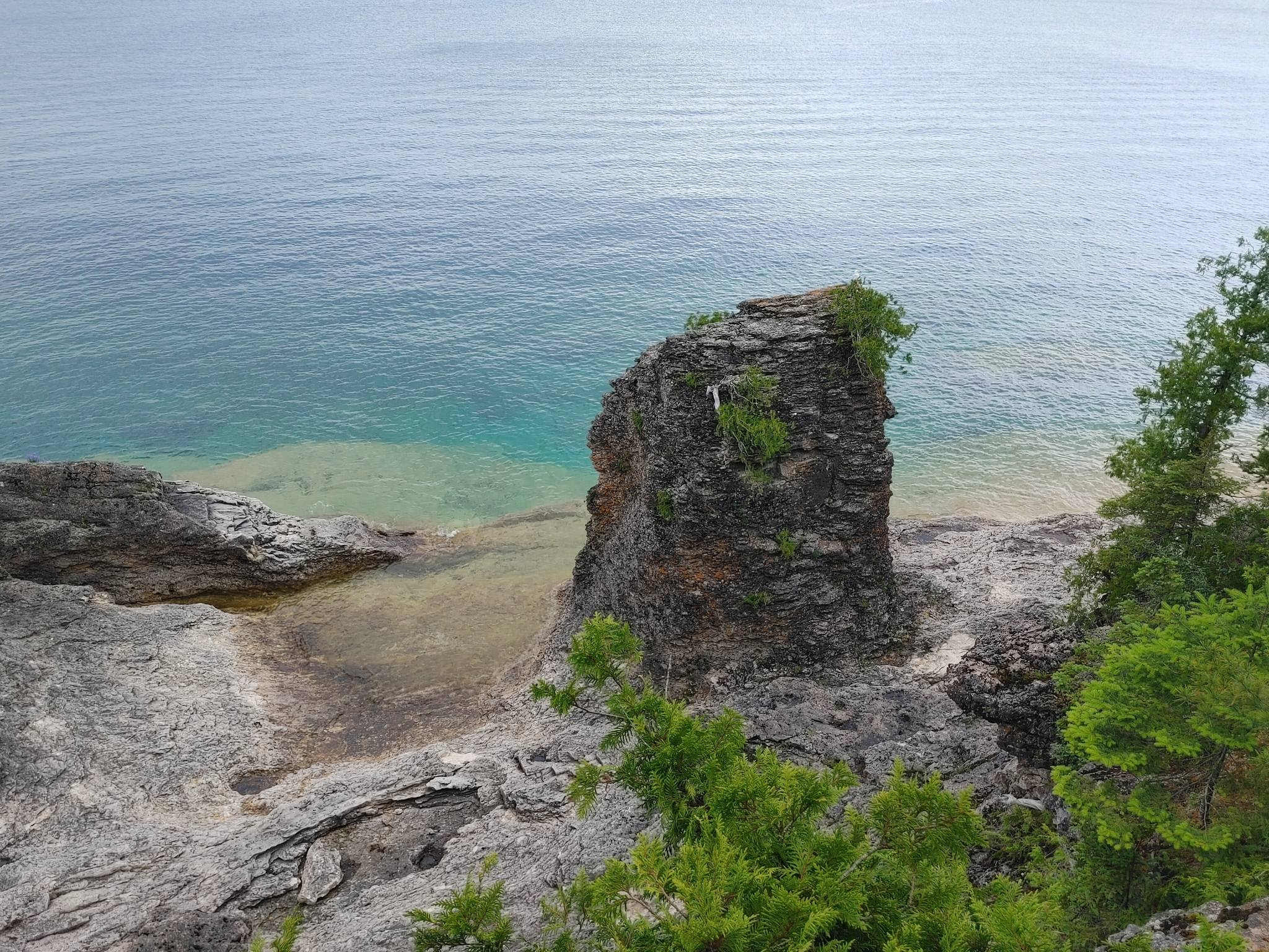
End-to-End Makeup Hike in 8: Cyprus Lake, Marr Lake Trail to Tobermory Cairn
https://hikesstaging.brucetrail.org/event/end-to-end-makeup-hike-in-8-cyprus-lake-marr-lake-trail-to-tobermory-cairn/Sorry, the registration cut-off time for this hike has been reached.Not a member? Click here to join today!Hike open to BTC Members only.
Hosting Club: Iroquoia, Peninsula
Category: Peninsula E2E
Location (Google Maps): Tobermory CairnHike Leader(s): Shawn Radcliffe Click here to contact Hike Leader(s)
Pace: Medium (3.0 – 4.5 km/h): A comfortable pace for most hikers with steady progress.
Terrain: Difficult: Steep ascents/descents, rocky scrambling, and some rugged escarpment paths., Moderate: Rolling hills, mild slopes and rocky paths.
Distance: 20.8Description
- Expectations: Expect to be on-trail for 7-9 hours each day, depending on the daily distance. Time on the trail may vary based on terrain, conditions, and the pace of the group. Breaks will be taken for lunch, snacks, photography, and to appreciate the scenery.
Meeting Time: Please arrive no later than 15 minutes prior to the scheduled time.
Participant Requirements:
- Intermediate/experienced hikers, comfortable with longer distances and elevation gains.
- Must be physically fit for group hiking.
- Proper hiking boots, layered clothing, and wet weather gear required. Hiking poles recommended.
- Essentials: Lunch, snacks, water, bug spray.
- Breaks for photography and appreciation of local flora and fauna.
Car Shuttle: Ensure your vehicle is passenger-ready.
Accommodations: Early reservations recommended, especially near meeting points or in Lion’s Head. Suggested options: motels, campgrounds, hostels, and B&Bs.
Birding with Brian
https://hikesstaging.brucetrail.org/event/birding-with-brian-2/Sorry, the registration cut-off time for this hike has been reached.Not a member? Click here to join today!Hike open to BTC Members only.
Hosting Club: Peninsula
Category: Birding
Location (Google Maps): Bruce Trail Parking on Crooked Toe Road and Boundary Road.Hike Leader(s): Marg Glendon Click here to contact Hike Leader(s)
Pace: Leisurely (2.0 – 3.0 km/h): A relaxed pace with frequent breaks and a focus on enjoyment.
Terrain: Easy: Flat forested sections or lowland trails., Moderate: Rolling hills, mild slopes and rocky paths.
Distance: 2-3 kmDescription
Brian Popelier, BTC Ecologist, will lead us on a birding adventure at the Glassford Wetland to observe the early Spring arrival of some of our feathered friends.This is a leisurely paced walk-stop-watch-listen hike. The distance will be determined by our observation opportunities.This property consists of a variety of habitats including forested areas, open meadows, hay fields and wetlands. A large pond is surrounded by well-developed open aquatic, marsh and willow-dogwood thickets which provide a diverse array of migratory and breeding birds, including waterfowl and marsh birds. At least 94 bird species have been recorded on the property. Notable species include Sandhill Crane, Sora, Osprey, Bobolink and Virginia Rail. At least 13 warbler species have been observed during spring and fall migration.
This is a family friendly hike – all birding experience levels welcome. Participants are welcome to linger longer, if they wish. Perfect hike to get started on one of the PBTC Birder Badges: https://pbtc.ca/badges/
Please carpool if possible.
Bring a light backpack to carry your water bottle, snacks, camera and binoculars. Weather at this time of year can still be unpredictable – dress according to the weather conditions. Sturdy hiking shoes/boots, gators and long sleeved protective clothing are recommended
No raindate.
Car Hike: Rouge Valley: Vista and Mast Trails
https://hikesstaging.brucetrail.org/event/car-hike-rouge-valley-vista-and-mast-trails/Sorry, the registration cut-off time for this hike has been reached.Not a member? Click here to join today!Hosting Club: Toronto
Category: Car Hike
Location (Google Maps): We will start from the Mast Trail Parking lot (South Trailhead) in Scarborough. If coming from Toronto, take the 401 east and get out at exit 390 for Kingston Rd. Address is shortly after 7450 Kingston Road and you’ll make a left.For a Google map location: https://maps.app.goo.gl/MWQvvK8Ksg4PEaGg9
Hike Leader(s): KJ Chong Click here to contact Hike Leader(s)
Pace: Moderate (3-4 km/hr)
Terrain: Hilly, Level 2 (Intermediate – some hills and uneven surfaces, rocks and roots underfoot), Variable
Distance: 9 kmDescription
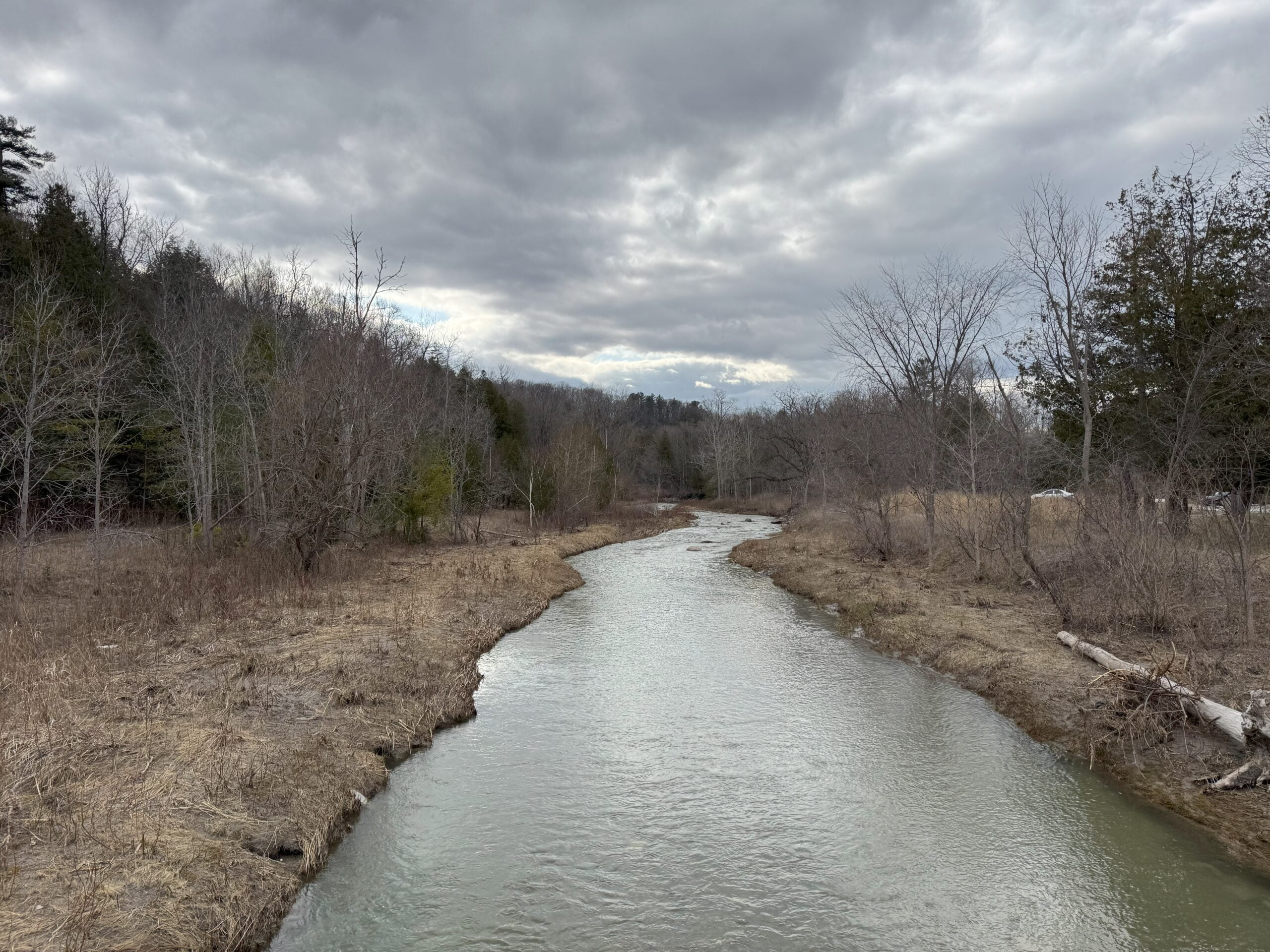
Join us for a fantastic hike with views across the Rouge Valley on the Mast and Vista trails. We will pass by creeks and rivers and also climb up a few steep hills, ending the loop at the Vista lookout. There will be two stairs, boardwalks and more. Please arrive at 8:45 AM for briefing and we leave sharp at 9 AM.
Urban Walk: Toronto Urban Badge Hike - 2 of 7
https://hikesstaging.brucetrail.org/event/urban-walk-toronto-urban-badge-hike-2-of-7-2/Sorry, the registration cut-off time for this hike has been reached.Not a member? Click here to join today!Hosting Club: Toronto
Category: Urban Walk
Location (Google Maps): Humber River Recreational TrailHike Leader(s): Brian Rideout Click here to contact Hike Leader(s)
Pace: Moderate (3-4 km/hr)
Terrain: Flat
Distance: 10.9 kmDescription
Please join me at the south east corner of Eglinton and Scarlett by 10 AM. We will hike south on the Humber Recreational Trail to Lakeshore Blvd and Ellis (km 19.2 to km 8.3). Here is an online map with km markings of our route for all 7 hikes for the Toronto Urban Badge: https://onthegomap.com/s/c2c1hf3nPlease make sure you bring at least 2 liters of water, a lunch, bug spray and sunscreen.
Spring Wildflowers/Ephemerals
https://hikesstaging.brucetrail.org/event/spring-wildflowers-ephemerals/Sorry, the registration cut-off time for this hike has been reached.Not a member? Click here to join today!Hosting Club: Iroquoia
Category: Wildflowers and Spring Ephemerals
Location (Google Maps): Crawford Lake Conservation Area, east side of Guelph Line above Derry Rd.Hike Leader(s): Anne Armstrong Click here to contact Hike Leader(s)
Pace: Leisurely – 3km/hr or less
Terrain: Moderate – Some hills and/or some poor footing
Distance: Approx. 7-8 km.Description
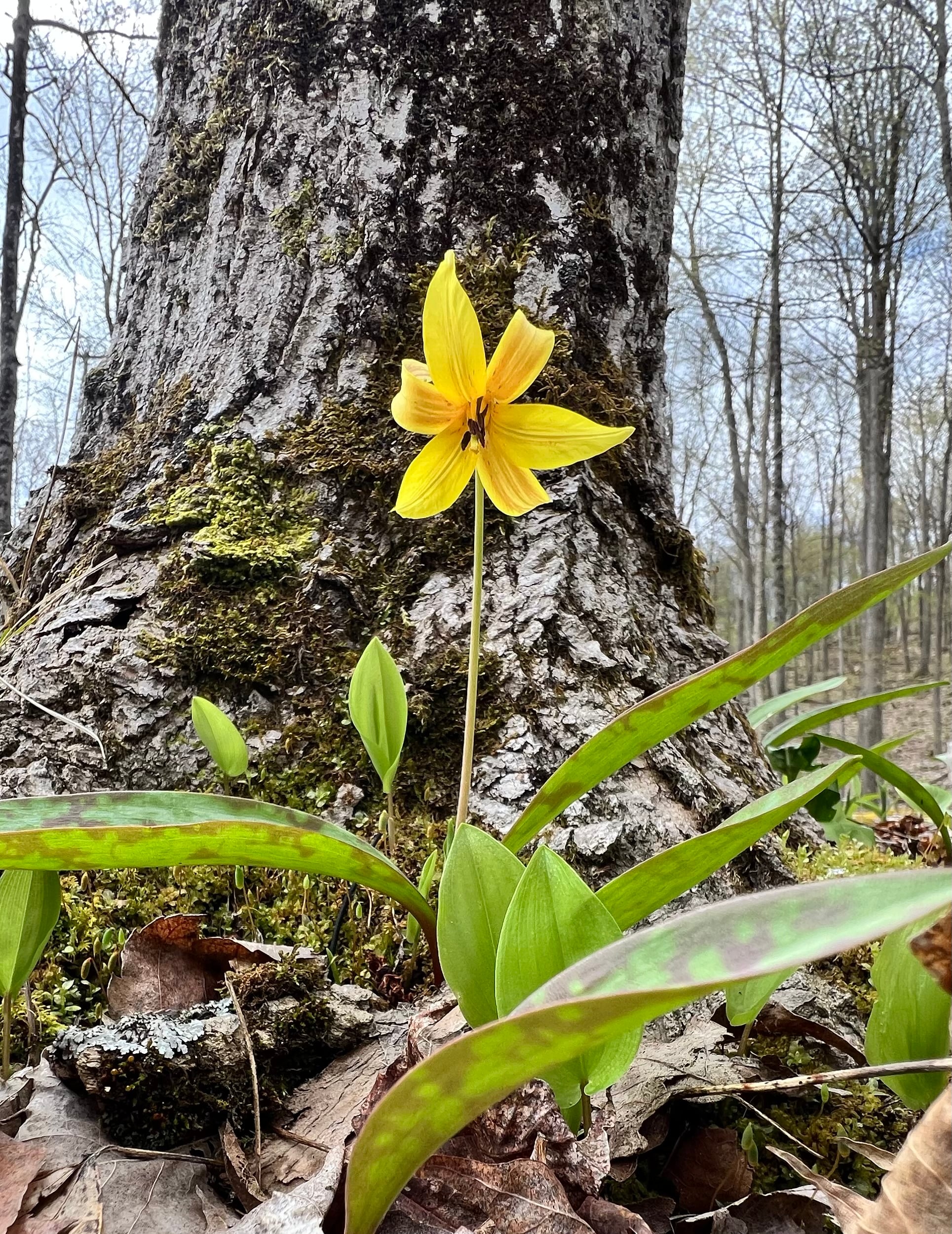
With the arrival of Spring we will be seeing more and more Spring Wildflowers/Ephemerals. It is an exciting time of year as nature begins to flaunt her beauty. This will be a slower paced hike as we search for wildflowers which grow amongst the rocks and and fields of this area. Expect some quite rocky areas along the escarpment but the rewards are great. Time for photos will be taken. Meet at 9:45 for a 10:00 am. start. Bring a snack, water, hiking poles if using and your camera. You will need to make a reservation with Halton Conservation Area Parks for entry into the park.
Leader: Anne ArmstrongUrban Walk: Leslie Spit (Tommy Thompson Park)
https://hikesstaging.brucetrail.org/event/urban-walk-leslie-spit-tommy-thompson-park-4/Sorry, the registration cut-off time for this hike has been reached.Not a member? Click here to join today!Hosting Club: Toronto
Category: Urban Walk
Location (Google Maps): We meet at Tommy Thompson Park by the public washrooms at Leslie and Unwin Sts. The TTC have routes that pass near Tommy Thompson Park. View the TTC schedules, routes, timetables, and find out how long does it take to get to Tommy Thompson Park in real time. List of stops closest to your destination: Leslie St at Mosley St; Queen St East at Alton Ave; Lake Shore Garage Loop.Hike Leader(s): Victor Ramautar Click here to contact Hike Leader(s)
Pace: Leisurely (2-3 km/hr)
Terrain: Flat, Level 2 (Intermediate – some hills and uneven surfaces, rocks and roots underfoot), Variable
Distance: 10-12 kmsDescription
Nature and Photography Hike
https://hikesstaging.brucetrail.org/event/nature-and-photography-hike/Sorry, the registration cut-off time for this hike has been reached.Not a member? Click here to join today!Hosting Club: Niagara
Category: Hike
Location (Google Maps): Woodend Parking Lot near Taylor RdHike Leader(s): Mary-Lyn Hopper Click here to contact Hike Leader(s)
Pace: Leisurely
Terrain: Moderate
Distance: 6Description
The focus of the hike is to examine the natural world in springExploring Sydenham Hike #22
https://hikesstaging.brucetrail.org/event/exploring-sydenham-hike-22-2/Sorry, the registration cut-off time for this hike has been reached.Not a member? Click here to join today!Hosting Club: Sydenham
Category: General Hike
Location (Google Maps):Meet in the north-east corner of the parking lot at Home Depot on Highway 26 on the east side of Owen Sound.
Hike Leader(s): Bill Snel Click here to contact Hike Leader(s)
Pace: Leisurely: 3 km/h or less
Terrain: Moderate: Some hills and/or poor footing, Strenuous: Hilly with steep climbs and some poor footing.
Distance: 3 kmDescription
We will carpool to do a hike of the Palisades. This is hike 22 in the book, Exploring Sydenham. There are two secrets to locate. If you do not have a book and would like one ($30) let me know by using the “Contact hike leader” link. - 12May 12, 2025
Dufferin Hi-Land End-to-End #4 of 4
https://hikesstaging.brucetrail.org/event/dufferin-hi-land-end-to-end-4-of-4/Sorry, the registration cut-off time for this hike has been reached.Not a member? Click here to join today!Hosting Club: Iroquoia, Dufferin Hi-Land
Category: General Hike
Location (Google Maps): Roadside Parking on Mulmur-Nottawasaga Townline km 54.9Hike Leader(s): Pati Greenwood, Jeff Dowsett Click here to contact Hike Leader(s)
Pace: Medium – 3 to 4 km/hr
Terrain: Moderate – Some hills and/or some poor footing, Slippery Sections Likely
Distance: 13.7 kmDescription
This is an end-to-end hiking series to complete the Dufferin Highlands section of the Bruce Trail in 4 hikes, join us for one, some or all.The hikes will be undertaken at a medium pace of approximately 4 km/hour for 13 – 15 kms each hike. Please consider your fitness level before registering, this is a group hike, and everyone is expected to keep pace with the person in front of them for the duration of the hike.
The weather can be changeable at this time of year, so dress in layers for any possibility. The terrain may be wet and slippery in sections, wear hiking boots and bring hiking poles. Bring a snack, plenty of water and other hydration as needed.
We will be travelling from south to north over the series. The series will require car shuffles, and everyone will be expected to participate as drivers.
Today’s hike, the final of the series, will be 13.7 km in length. Please plan to arrive at the meeting place by 8:15 am as we will start the car shuffle at 8:30 am sharp.
Further details will be provided to registered hikers a few days prior to the hike.
Crawford Lake to Kilbride (E2E - linear hike)
https://hikesstaging.brucetrail.org/event/crawford-lake-to-kilbride-e2e-linear-hike-2/Sorry, the registration cut-off time for this hike has been reached.Not a member? Click here to join today!Hosting Club: Iroquoia
Category: General Hike
Location (Google Maps): Meet at 9:15 am in the Kilbride Park parking lot, behind the schoolHike Leader(s): Karen Bergmann Click here to contact Hike Leader(s)
Pace: Medium – 3 to 4 km/hr
Terrain: Moderate – Some hills and/or some poor footing
Distance: 8 kmsDescription
Meeting in Kilbride, we will carpool to Crawford Lake and hike back along the main trail. There are some challenging rocky bits along the way, but most of it is quite easy. Depending on the number of hikers, I will need another driver to book time at Crawford Lake. I will send an email two days before the hike to confirm.Car Hike: Spring Wild flowers Rockside Side trail
https://hikesstaging.brucetrail.org/event/car-hike-spring-wild-flowers-rockside-side-trail/Sorry, the registration cut-off time for this hike has been reached.Not a member? Click here to join today!Hosting Club: Toronto
Category: Car Hike
Location (Google Maps): Meet at the parking area at the end BOSTON Mills Rd. Just to the west of Mississauga Rd. 10:00 am loop hikeHike Leader(s): Lynn McFerran Click here to contact Hike Leader(s)
Pace: Leisurely (2-3 km/hr)
Terrain: Level 2 (Intermediate – some hills and uneven surfaces, rocks and roots underfoot), Variable
Distance: 7kmDescription
Spring has been a bit slow this year but the spring wild flowers are starting to bloom. It is really exciting to see bits of colour coming up along the trail. This is a loop hike and there are lots of plants and interesting things to see along the trail. we will walk the sidetrail and pick up a section of the main trail too.
Be prepared for any kind of weather and maybe even some early bugs. Bring water and snacks - 13May 13, 2025
8:00 Long Hike Wiley Road Short Hills (NEW TIME)
https://hikesstaging.brucetrail.org/event/800-long-hike-wiley-road-short-hills-new-time-2/Sorry, the registration cut-off time for this hike has been reached.Not a member? Click here to join today!Hosting Club: Niagara
Location (Google Maps):
Short Hills Wiley Road Entrance
Pace: Medium
Terrain: Moderate
: 10kmDescription
Explore Short Hills and the majestic side trails of Scarlett Tanager, Hemlock. Swayze Falls and Terrace. Register for each hikeBring Poles, Sun Screen Bug Spray, snack, and dress for the weather
Urban Walk: Valley View Park Thornhill
https://hikesstaging.brucetrail.org/event/urban-walk-valley-view-park-thornhill-71/Sorry, the registration cut-off time for this hike has been reached.Not a member? Click here to join today!Hosting Club: Toronto
Location (Google Maps): Parking lot is inside Sycamore Drive East of Bayview , across Starbucks plaza
Hike Leader(s): Mohammad Aghamiri Click here to contact Hike Leader(s)
Pace: Moderate (3-4 km/hr)
Terrain: Hilly, Level 2 (Intermediate – some hills and uneven surfaces, rocks and roots underfoot)
Distance: 7-8 kmDescription
We will explore Valleyview and Maple View parks, and walk along German Mill Creak, in return we stop in Huntington park and have snack under beautiful shed ,Even it is considered Urban walk, it is urban hike as we have some up and down hills and tree roots, please bring your hiking poles, water and snacks
Dufferin Hi-Land 60th Anniversary Highlight Hikes, Hike #4: Black Bank
https://hikesstaging.brucetrail.org/event/dufferin-hi-land-60th-anniversary-highlight-hikes-hike-4-black-bank/Sorry, the registration cut-off time for this hike has been reached.Not a member? Click here to join today!Hike open to BTC Members only.
Hosting Club: Dufferin Hi-Land
Category: Tuesday Hike
Location (Google Maps): Dufferin Hi-Land Club, Map 21. Meet at roadside parking on Centre Rd between 20 Sideroad and County Rd 21 (Km 46.7). Please note that this is a shuttle hike.Hike Leader(s): Julie Daley, Les Babbage, Inge Eckerich, Tony Evangelista Click here to contact Hike Leader(s)
Pace: Leisurely
Terrain: Moderate
Distance: 6.5 kmDescription
After meeting on Centre Rd, we will shuttle north to the Bruce Trail parking lot on 30 Sideroad (km 53.1). We will hike south along the main trail, crossing Country Rd 21, continuing through Black Bank to our cars on Centre Rd. A shorter hike can be arranged. Please bring snack /lunch.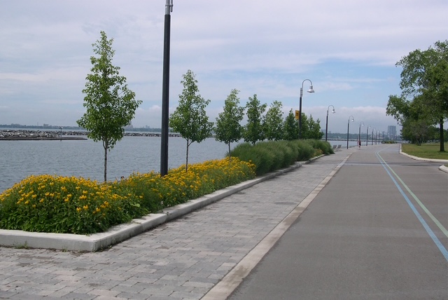
Urban Walk: High Park and Toronto Waterfront Trail
https://hikesstaging.brucetrail.org/event/urban-walk-high-park-and-toronto-waterfront-trail-4/Sorry, the registration cut-off time for this hike has been reached.Not a member? Click here to join today!Hosting Club: Toronto
Category: Urban Walk
Location (Google Maps):High Park Subway Station Street Level (East Exit – High Park Avenue (by the bus loop)
Hike Leader(s): Miriam Stevens Click here to contact Hike Leader(s)
Pace: Leisurely (2-3 km/hr)
Terrain: Flat, Level 1 (Easy – mostly on flat, well maintained trails with hard-packed surface)
Distance: 10 KMDescription
Join us for a leisurely hike through High Park and then east along Toronto’s Waterfront Trail to Harbourfront Centre passing though many small parks including the Music Garden. Refreshments at a coffee shop on Queens Quay at Harbourfront. Bring lunch and drinking water. Dropout any time. We’ll arrive at Harbourfront Centre around 2:00 PM. This will be repeated Tuesday May 13th, Tuesday May 27th, Tuesday June 3rd, and Tuesday June 24th. No pre registration is required. Just show up 15-20 minutes before to departure time to sign in with the hike leader.
Afternoon Hike - Duff Pit
https://hikesstaging.brucetrail.org/event/afternoon-hike-duff-pit/Sorry, the registration cut-off time for this hike has been reached.Not a member? Click here to join today!Hosting Club: Iroquoia
Category: Afternoon/Evening Hikes
Location (Google Maps): Meet roadside on Hwy 7, just after the curve in the road.Hike Leader(s): Karen Bergmann Click here to contact Hike Leader(s)
Pace: Medium – 3 to 4 km/hr
Terrain: Moderate – Some hills and/or some poor footing
Distance: 5 kmsDescription
Meet roadside at 4:15 pm on Hwy 7 north of Georgetown, as you round the curve in the road. We will hike the Side Trails of Duff Pit, Reservoir, Trafalgar Rd and North Rim (through the old open quarry land) back to Duff Pit. It’s a short hike with lots of variety. - 14May 14, 2025
Strolling through Historic Thorold
https://hikesstaging.brucetrail.org/event/strolling-through-historic-thorold/Sorry, the registration cut-off time for this hike has been reached.Not a member? Click here to join today!Hosting Club: Niagara
Category: Hike
Location (Google Maps): Thorold Community ArenaHike Leader(s): Sheila Massey Click here to contact Hike Leader(s)
Pace: Leisurely
Terrain: Easy
Distance: 8 kmDescription
We will walk in and around Thorold which has undergone a restoration of many historic buildings in the downtown. We will walk along the Bruce Trail, visit Keefer Mansion (formerly Maplehurst Hospital) and walk past many historic homes and buildings. There are several murals in Thorold which we will walk by. We will also stroll through the Battle of Beaverdams Park which contains historical plaques, artifacts and monuments. At the conclusion of the hike, for those who wish there will be a stop at Donnelly’s Pub which has been rated by Trip Advisor as 4.2 out of 5.WEDNESDAY WALKERS - Start at the Very Beginning (of BV)
https://hikesstaging.brucetrail.org/event/wednesday-walkers-start-at-the-very-beginning-of-bv-3/Sorry, the registration cut-off time for this hike has been reached.Not a member? Click here to join today!Hosting Club: Beaver Valley
Location (Google Maps): Park at the end of Maple Lane at BV Km 0.0, Map 24, Edition 31
Hike Leader(s): Margaret Yaraskavitch Click here to contact the hike leader.
Pace: Medium
Terrain: Moderate
Length of Hike: 5.0 kmDescription
This hike will be a there-and-back walk. Views from the edge of the Escarpment will show Collingwood and Nottawasaga Bay. We’ll pass Craigleith Ski Club and head towards a deep valley but then it is time to return. Often, views look different when walking in the opposite direction, promising another chance to experience wide open views of the shores of Nottawasaga Bay. Please bring water and a snack.
Culham Trail/Credit River
https://hikesstaging.brucetrail.org/event/culham-trail-credit-river/Sorry, the registration cut-off time for this hike has been reached.Not a member? Click here to join today!Hosting Club: Iroquoia
Category: Good Companions
Location (Google Maps): Erindale Park, Dundas St.W., just East of Mississauga Rd.Hike Leader(s): Anne Armstrong Click here to contact Hike Leader(s)
Pace: Leisurely – 3km/hr or less
Terrain: Easy – Mostly flat and usually good footing
Distance: 6-8kmDescription
Come and enjoy an easy, leisurely hike up the Credit River, going through part of Erindale Park. There is one rocky but flat section as well as one hill. We will likely encounter some areas which have washout damage from flooding. We should also see some Spring Ephemerals. Bring water, a snack, sunscreen and insect repellent. Poles not necessary unless you like using them for upper body exercise and balance. This hike is to replace the one which we had to move to another location. - 15May 15, 2025
8:00 am Long Hike Glen Road Jordan NEW TIME
https://hikesstaging.brucetrail.org/event/800-am-long-hike-glen-road-jordan-new-time-3/Sorry, the registration cut-off time for this hike has been reached.Not a member? Click here to join today!Hosting Club: Niagara
Location (Google Maps):
Glen Road Jordan
Pace: Medium
Terrain: Moderate
: 10kDescription
This will be our permanent Thursday Location until Bridge repairs complete. From Glen Road explore the trail network on the escarpment towards Balls Falls and Moyer Road.You must register for each hike. Bring Poles, snack bug spray, sunscreen and a drink. Dress for the weather

Birding at Otter Lake and Maple Cross Nature Reserve at Cape Chin
https://hikesstaging.brucetrail.org/event/birding-at-otter-lake-and-maple-cross-nature-reserve-at-cape-chin/Sorry, the registration cut-off time for this hike has been reached.Not a member? Click here to join today!Hosting Club: Peninsula
Category: Birding
Location (Google Maps): Use the driveway at 388 Cape Chin Road North to park.Hike Leader(s): Marg Glendon Click here to contact Hike Leader(s)
Pace: Leisurely (2.0 – 3.0 km/h): A relaxed pace with frequent breaks and a focus on enjoyment.
Terrain: Easy: Flat forested sections or lowland trails., Moderate: Rolling hills, mild slopes and rocky paths.
Distance: ~3 1/2 kmDescription
This is a “tandem” birding hike – Otter Lake Nature Reserve and nearby Maple Cross Nature Reserve at Cape Chin. Brian Popelier, BTC Ecologist, will introduce us to the wonders of Otter Lake’s Spring birding season, then at MCNRCC for more birding and to learn about habitat restoration here.The Otter Lake property is part of a larger provincially significant wetland complex. It is comprised of a variety of wetland habitats including meadow marsh, thicket swamp, deciduous treed swamp, Graminoid fen and the properties namesake, the shallow calcareous Otter Lake. The wetlands support water loving plants and host a variety of wetland and marsh birds, fish, amphibians and reptiles. introduce you to the wonders of Otter Lake’s spring birding season.
With 523 acres of iconic Saugeen (Bruce) Peninsula landscape, a breathtaking 270-degree view of Georgian Bay, and 1.8 kilometers of the Bruce Trail’s Optimum Route, the Maple Cross Nature Reserve at Cape Chin is a natural masterpiece and a true conservation gem.
Finish your morning with a picnic lunch at Maple Cross Nature Reserve (optional).
In total, this hike will take about 3 hours. Bring binoculars, insect repellent, lunch, water and snacks. Wear sunscreen, hat, and sun protective clothing. We may encounter some wet spots, so wear water proof hiking boots and gators.
This is a perfect opportunity to work on your PBTC Birding Badge: https://pbtc.ca/badges/
Urban Walk: Valley View Park Thornhill
https://hikesstaging.brucetrail.org/event/urban-walk-valley-view-park-thornhill-70/Sorry, the registration cut-off time for this hike has been reached.Not a member? Click here to join today!Hosting Club: Toronto
Location (Google Maps): Parking lot is inside Sycamore Drive East of Bayview , across Starbucks plaza
Hike Leader(s): Mohammad Aghamiri Click here to contact Hike Leader(s)
Pace: Moderate (3-4 km/hr)
Terrain: Hilly, Level 2 (Intermediate – some hills and uneven surfaces, rocks and roots underfoot)
Distance: 7-8 kmDescription
We will explore Valleyview and Maple View parks, and walk along German Mill Creak, in return we stop in Huntington park and have snack under beautiful shed ,Even it is considered Urban walk, it is urban hike as we have some up and down hills and tree roots, please bring your hiking poles, water and snacks

Whitetail Refuge Citizen Scientist Nature Walk
https://hikesstaging.brucetrail.org/event/whitetail-refuge-citizen-scientist-nature-walk/Sorry, the registration cut-off time for this hike has been reached.Not a member? Click here to join today!Hosting Club: Caledon Hills
Category: Nature Walks
Location (Google Maps): Meet at Mono Community Centre, 200 m south of Mono Centre (County Road 8). 44.026195, -80.071516Directions: From ON-10, head east onto Dufferin Rd8/Mono Centre Rd. for 6.0 km. The Community Centre is on the right.
Hike Leader(s): Sandy Green Click here to contact Hike Leader(s)
Pace: Leisurely – 3 km/hour or less
Terrain: Moderate – some hills and/or some poor footing
Distance: 5 kmDescription
Pique your curiosity about the awakening forest at the Whitetail Refuge Nature Reserve. Learn to use nature identification apps Merlin, Seek and iNaturalist to collect biodiversity data along the Bruce Trail for the BTC’s iNaturalist Project. Badge seekers can work towards earning the CHBTC Citizen Scientist badge.
9:00 Fireman’s Park Circuit
https://hikesstaging.brucetrail.org/event/900-firemans-park-circuit-2/Sorry, the registration cut-off time for this hike has been reached.Not a member? Click here to join today!Hosting Club: Niagara
Category: Loop
Location (Google Maps):Fireman’s Park, Dorchester Road, Niagara Falls
Hike Leader(s): Suzanne Gourluck Click here to contact Hike Leader(s)
Pace: Brisk
Terrain: Moderate
Distance: 10 kmDescription
We will weave around Fireman’s Park on various trails eventually making our way over to the Main Trail and returning to the parking lot.
Dress for the weather and bring poles, water and a snack if you wish. Note the Brisk pace.Hiking Around Cave springs. NEW LOCATION
https://hikesstaging.brucetrail.org/event/hiking-around-cave-springs-new-location-8/Sorry, the registration cut-off time for this hike has been reached.Not a member? Click here to join today!Hosting Club: Niagara
Location (Google Maps):
Cave Springs Conservation Area)
Hike Leader(s): Bill Russell Click here to contact Hike Leader(s)
Pace: Medium
Terrain: Moderate
Distance: 6kDescription
Hiking in and around Cave Springs
Grindstone Creek to Hopkins Corner (E2E)
https://hikesstaging.brucetrail.org/event/grindstone-creek-to-hopkins-corner-e2e/Sorry, the registration cut-off time for this hike has been reached.Not a member? Click here to join today!Hosting Club: Iroquoia
Category: General Hike
Location (Google Maps): Meet at 9:15 am in the dog park parking lot on York Rd (Hopkins Corner)Hike Leader(s): Karen Bergmann Click here to contact Hike Leader(s)
Pace: Medium – 3 to 4 km/hr
Terrain: Moderate – Some hills and/or some poor footing
Distance: 10 kmsDescription
Meeting in the parking lot at Hopkins Corner, we will carpool to Grindstone Creek (Waterdown) and hike back along the main trail to the Ray Lowes Side Trail and back to the cars. Hiking along Grindstone Creek in the spring is amazing, as the water flows heavy and fast.
Bluebell/Wildflower Hike
https://hikesstaging.brucetrail.org/event/bluebell-wildflower-hike/Sorry, the registration cut-off time for this hike has been reached.Not a member? Click here to join today!Hosting Club: Iroquoia
Category: Thursday Group
Location (Google Maps): Sixteen Mile Creek Valley, OakvilleHike Leader(s): Anne Armstrong Click here to contact Hike Leader(s)
Pace: Leisurely – 3km/hr or less
Terrain: Easy – Mostly flat and usually good footing, Moderate – Some hills and/or some poor footing
Distance: Aprox. 9 km.Description
This hike will take in the beautiful Sixteen Mile Creek Valley which is a natural area of paths above the Sixteen Mile Creek and paths down into the valley to walk beside the creek. Our goal is to see the Virginia Bluebells but we should see many other varieties as well. Meet at the southeast corner of Neyagawa Blvd and River Glen Blvd., beside the baseball fields at 9:45 am. for a 10:00 am. start. Bring water, a snack, poles might be useful.
Leader: Anne ArmstrongInvasive Plant Pull and Nature Hike
https://hikesstaging.brucetrail.org/event/invasive-plant-pull-and-nature-hike-3/Sorry, the registration cut-off time for this hike has been reached.Not a member? Click here to join today!Hosting Club: Niagara
Category: Hike
Location (Google Maps): St. Paul Reserve. Meet on St. Paul north of Mountain Rd on west side. Look for vehicles at the side of the road.Hike Leader(s): Mary-Lyn Hopper Click here to contact Hike Leader(s)
Pace: Leisurely
Terrain: Easy
Distance: 5 kmDescription
We will be pulling garlic mustard and English ivy and then exploring the area for spring flowers etc.
Urban Walk: Toronto Islands Evening Walk
https://hikesstaging.brucetrail.org/event/urban-walk-toronto-islands-evening-walk-12/Sorry, the registration cut-off time for this hike has been reached.Not a member? Click here to join today!Hosting Club: Toronto
Location (Google Maps):
Jack Layton Ferry Terminal, near the gates to Wards Island Ferry. Arrive 20 minutes prior to departure to check in with hike leader.
From Union Station take the LRT and get off at the stop Ferry Docks.Walk up to the Ferry Docks on Queens Quay West, street level. at the foot of Bay Street.
Hike Leader(s): Miriam Stevens Click here to contact Hike Leader(s)
Pace: Leisurely (2-3 km/hr)
Terrain: Flat
Distance: 6-9 kmDescription
After a day’s work come and “cool off” on the Toronto Islands free of fumes and traffic. Enjoy the view of the city skyline and Toronto’s beautiful island parkland.
Pack a dinner for a sit down picnic. Food is not available for purchase on the Islands early in the season. Also bring a warm jacket and flashlight.
Return fare ticket for the ferry is $9.11 adults and $5.86 seniors.
Hikes will take place rain or shine.
Toronto Island evening hikes will take place every Thursday in May and June 2025.
Same time and same meeting place. No preregistration is required – just show up at the ferry docks at 5:40 PM and sign in with the hike leader. - 16May 16, 2025

Car Hike: Victoria Day Weekend in the Lower Bruce Peninsula (3 nights)
https://hikesstaging.brucetrail.org/event/car-hike-victoria-day-weekend-in-the-lower-bruce-peninsula-3-nights-2/Sorry, the registration cut-off time for this hike has been reached.Not a member? Click here to join today!This is a Multi-Day Hike
You are signing up for the following dates:
2025-05-16, 2025-05-17, 2025-05-18, 2025-05-19Hosting Club: Toronto
Category: Car Hike
Location (Google Maps):Evergreen Resort (Red Bay)
139 Resort Rd.
Wiarton, ON H0H 2T0Hike Leader(s): Jeanette Vincent, Brenda Menezes, David Royle Click here to contact Hike Leader(s)
Pace: Moderate (3-4 km/hr)
Terrain: Level 2 (Intermediate – some hills and uneven surfaces, rocks and roots underfoot), Rocky, Variable
Distance: approx. 13-15 kmDescription
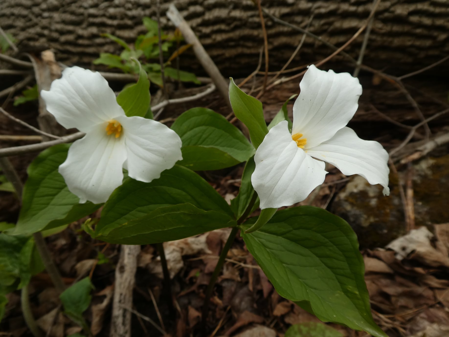
We continue Greg Vincent’s legacy of weekends away. Please join Jeanette Vincent, Brenda Menezes and David Royle as we explore the Lower Bruce Peninsula. The spring flowers will welcome us to the trails. We stay and have our meals at a comfortable resort at Red Bay. Each day we will hike the Bruce Trail and its side trails to form loops with great views of Georgian Bay and its islands. The carpet of trilliums is the best along the length of the Bruce Trail along with other spring ephemerals. Approximately 15km/day.This outing is restricted to those staying with us at Evergreen Resort for the weekend. You will need a car to access this outing.
Before registering at Evergreen Resort, please contact us for the price package for your accommodation and more details.
Then please contact Evergreen Resort for a reservations 1-519-534-1868 or frontdesk.evergreenresort@gmail.com and mention Vincent Wild Flower Victoria Day weekend. Once you are registered at Evergreen Resort then add your name to the TBTC registration online form for this outing. Space is limited.
Niagara-on-the-Lake Tour
https://hikesstaging.brucetrail.org/event/niagara-on-the-lake-tour-8/Sorry, the registration cut-off time for this hike has been reached.Not a member? Click here to join today!Hosting Club: Niagara
Location (Google Maps): Park on King St, Centre St near Veteran’s Memorial Park
Hike Leader(s): Margaret Northfield Click here to contact Hike Leader(s)
Pace: Medium
Terrain: Easy
Distance: 6-7kmDescription
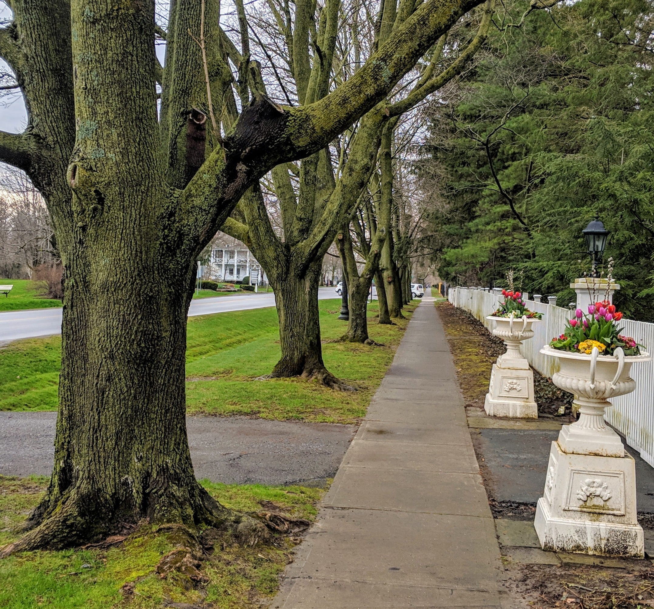
Each Friday we will explore different neighbourhoods, trails and parkland throughout Historic Niagara-on-the-Lake.Moderate pace with some weeks entirely on sidewalks and roads while others may include a mix of trails and paved pathways. Great way to build up endurance for longer more strenuous hikes.
Prepare for cooler windy conditions on open parkland and along Lake Ontario and Niagara River trails.
Plan to stay for conversation and a warm cup of coffee or tea at Sweets and Swirls, Community Centre, 14 Anderson Lane, (just off Niagara Stone Rd), NOTL
- 17May 17, 2025
Saturday Only (Niagara End 2 End)
https://hikesstaging.brucetrail.org/event/saturday-only-niagara-end-2-end-2/Sorry, the registration cut-off time for this hike has been reached.Not a member? Click here to join today!Hosting Club: Niagara
Category: Event Hikes
Location (Google Maps): Saturday May 17: Lions Swimming Pool Elm St. Grimsby 43.193664,-79.564864. Notification will be sent if additional parking is required.Hike Leader(s): Mary Ann Enns Click here to contact Hike Leader(s)
Pace: Medium
Terrain: Moderate
Distance: 27 kmDescription
This is the NBTC Annual End to End Event 1 day hike from Balls Falls to Grimsby. This hike is conjunction with Niagara’s End to End in Three.Distance 25 km.
Please arrive by 6.30 am to check in. Buses will depart promptly at 7am . Participants will be transported by bus from check in to the start ( Balls Falls) and will hike at their own pace to final checkpoint ( Grimsby).
Checkpoints with volunteers will be available to replenish water, and nutritious snacks. Trial Angles, will also be available to assist if required. You will be provided with your Checkpoint and Trail Angel information at the start of the hike.
Pack for weather and terrain, cell phone is important to bring, appropriate footwear, poles if you prefer, basic first aid supplies and trail map or app. Hikers are responsible for informing Organizing personnel of their intention to drop out during the hike.
Fee includes, bus and checkpoints.
Proceeds support Niagara Bruce Club which in turn supports The Bruce Trail Conservancy mission to “Preserving a ribbon of wilderness for everyone forever”.
Niagara E2E in THREE
https://hikesstaging.brucetrail.org/event/niagara-e2e-in-three-2/Sorry, the registration cut-off time for this hike has been reached.Not a member? Click here to join today!This is a Multi-Day Hike
You are signing up for the following dates and times:
2025-05-17 at 07:00
2025-05-18 at 07:00
2025-05-19 at 07:00Hosting Club: Niagara
Category: Event Hikes
Location (Google Maps): Saturday May 17: Lions Swimming Pool Elm St, Grimsby 43.193664,-79.564864 Notification will be sent if additional parking required
Sunday May 18. : Brock University Parking Lot ? Merrittville Highway, St Catharines. Parking at Lot 3A
Monday May 19 :Queenston Heights Park, Niagara Parkway, Niagara-on-the-Lake 43.159314,-79.055405Hike Leader(s): Mary Ann Enns Click here to contact Hike Leader(s)
Pace: Medium
Terrain: Moderate
Distance: 80.3 km Day 1 25km Day 2 27km Day 3 28kmDescription
Thank you for registering for Niagara’s annual self lead End to End in THREE Days. 2025 is a “New Badge”.You will hike from Grimsby and finish at the Queenston Cairn, the southern tip of the Bruce Trail.
Checkpoint stations will be approximately every 10km, offering nutritious snacks and water refills. You will be provided with checkpoint coordinates Day 1 of the hike.
Trail Angels are available for assistance. A list of Trail Angels and their contact information will be provided Day 1 of the hike. Please inform hike leader, or checkpoint station volunteers your intention to drop out.
School buses will transport all hikers each day to the starting point of the hike. No parking fees for May 17, 18. Parking vouchers provided for May 19 ** Please arrive each day by 6.30am to ensure an early start. Buses will leave at 7 am, promptly**
Hiking experience recommended. We would recommend hiking attire for the weather.and poles. Bring cell phone, basic first aid supplies, bug spray, water bottle.
Fee: includes bus, checkpoints, light lunch at the Cairn, the last hike day and your “new Badge”
Enjoy your hike through southern most section of Niagara Bruce Trail.
Proceeds support Niagara Bruce Trail Club which in turn supports the Bruce Trail Conservancy mission to ” Preserving a ribbon of wilderness for everyone, forever”.
School Bus Hike: Niagara E2E #4 of 6
https://hikesstaging.brucetrail.org/event/bus-hike-niagara-e2e-4-of-6/Sorry, the registration cut-off time for this hike has been reached.Not a member? Click here to join today!Trip Information
Departure Time: 08:30
Return to City Time: 18:00
Departure Point: Kipling Departure PointOptional Items
Hosting Club: Toronto
Category: Bus Hike
Location (Google Maps): Niagara Section Kms 46.7 to 59.3Hike Leader(s): Felix Wan, Tim Wainwright Click here to contact Hike Leader(s)
Pace: Moderate (3-4 km/hr)
Terrain: Variable
Distance: 12.6kmDescription
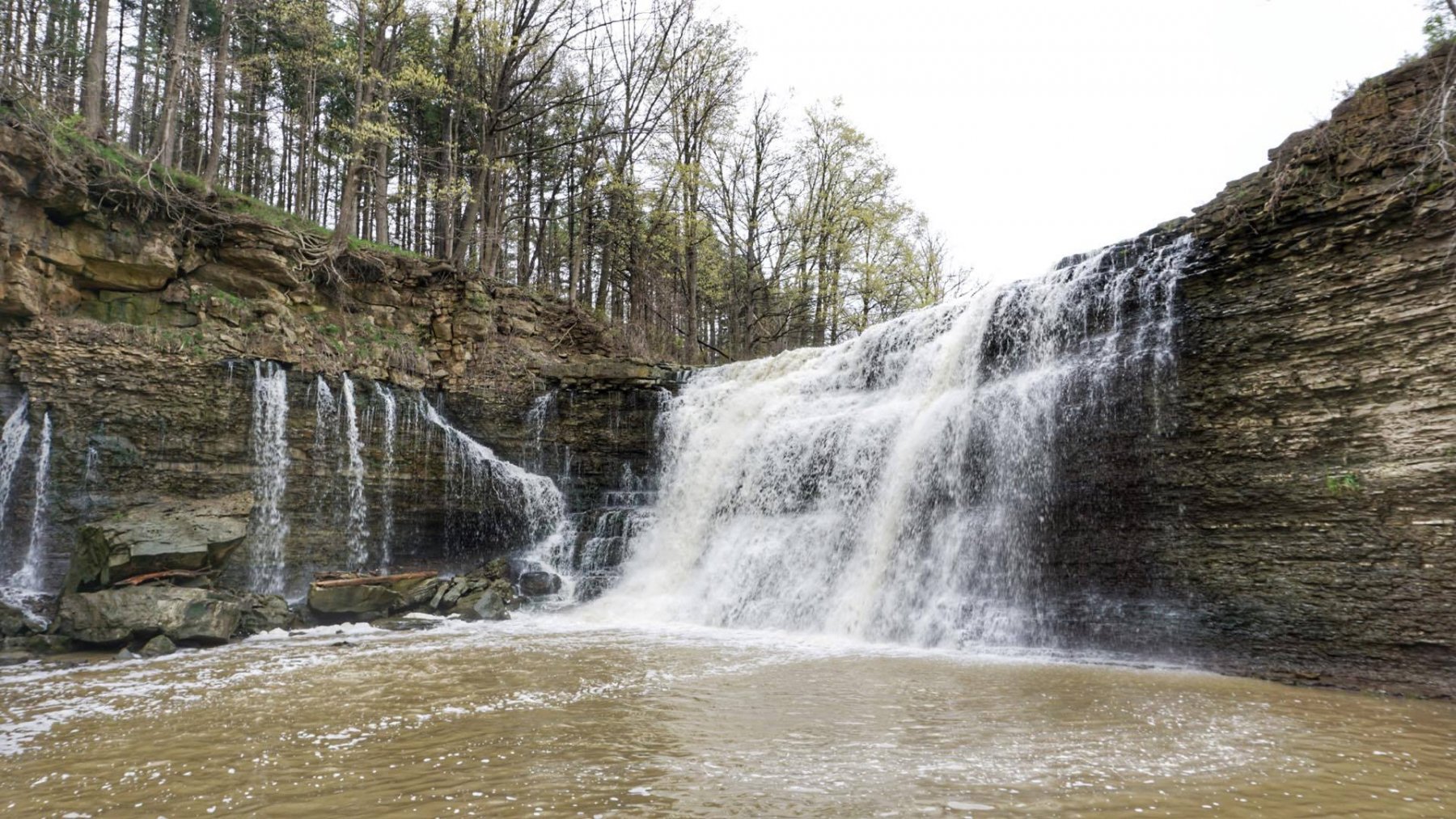
Today’s hike starts at the beautiful Rockway Falls at Rockway Conservation Area. We’ll pass by another waterfall at Louth Conservation Area, and then on through vineyards to Ball’s Falls, one of the more spectacular falls in Ontario at 2/3 the height of Niagara Falls, before finishing at Fifth Ave. There will be a refreshment stop on the way back to Toronto.Dropout point at 9 km.
Bring a packed lunch, two litres of water, and sun/rain/bug protection as needed.
Maps 3-4 in the Bruce Trail Guide
The remaining hikes in the Niagara E2E are:
- May 24
- June 7
Saturday Shorts: Glen Haffy
https://hikesstaging.brucetrail.org/event/saturday-shorts-glen-haffy-4/Sorry, the registration cut-off time for this hike has been reached.Not a member? Click here to join today!Hosting Club: Caledon Hills
Category: General
Location (Google Maps): Meet at the roadside parking on Coolihans Sideroad, km 35.0 Map 17, near where the Trail crosses the road. This is just west of the intersection of Glen Haffy Road and Coolihans Sideroad (even though the GPS coordinates are showing just to the east). It is best to aim for arriving around 8:15, so we can start hiking as close to 8:30 am as possible. Thanks!Hike Leader(s): Elizabeth Ganong Click here to contact Hike Leader(s)
Pace: Medium – 3 to 4 km/hour
Terrain: Moderate – some hills and/or some poor footing
Distance: Approximately 6 kmDescription
Looking to get out on a Saturday but not give up your whole day? Saturday Shorts, a hiking series, will get you out in a small group on a short hike. This Saturday’s hike is at Glen Haffy. We’ll hike the main Bruce Trail and conservation trails to make an approximately 6 km route. The pace will be leisurely in parts, so you can take a moment to enjoy the carpet of spring flowers and listen for the Pileated woodpeckers. Consider the following as you prepare for the hike: a hat, insect repellent, sunscreen, hiking boots/shoes, poles. You are encouraged to bring water and a snack as there will be a short break. No dogs please. You can expect a reminder/update message one or two days before the hike.Saturday Seekers BV E2E - Choice of Badge!
https://hikesstaging.brucetrail.org/event/saturday-seekers-bv-e2e-choice-of-badge-2/Sorry, the registration cut-off time for this hike has been reached.Not a member? Click here to join today!This is a Multi-Day Hike
You are signing up for the following dates:
2025-05-17, 2025-05-24, 2025-06-14, 2025-06-21, 2025-07-05, 2025-07-12Hosting Club: Beaver Valley
Location (Google Maps): First hike will meet on Maple Lane, km 00.0, Map 24, Edition 31 44.504973,-80.331780
Hike Leader(s): Glenda Collings Click here to contact the hike leader.
Pace: Medium
Terrain: Moderate, Strenuous, Some steep sections, Some rocky footing
Length of Hike: Hikes will range between approx. 17 & 21 kmDescription
Come hike our beautiful Beaver Valley over 6 Saturdays this spring/summer! This series of hikes offers hikers the choice of one of two badges! Choose from the apple badge ($10 member/$12 non members) or the fundraiser stained glass badge ($30). Payment for badges will be required on the day of the final hike. The medium hike pace will range between 3 to 4 km per hour, sometimes a bit more than 4 km per hour on easy flat terrain, with a snack and lunch break. Hikers may request a personal bio break, clothing adjustment, drink stop, etc. at any time during the hike by notifying the leader or sweep. The hikes range from approx. 17 to 21 km. Please self evaluate your ability to manage the pace and length of these hikes. Life does happen, so hikers will be able to miss 2 hikes and make them up on their own before July 24. A full hike schedule, with meet locations, will be sent to hikers after registration. If you have any questions please use the “Contact hike leader” option on the online schedule.COVID-19 Precautions Before, During and After your Hike
- Each hiker joining a Bruce Trail Club organized hike must perform a self-screening check before hiking.
Find Ontario’s self-assessment tool here: https://covid-19.ontario.ca/self-assessment/ - If you are experiencing COVID-19 symptoms, stay home.
Other Guidelines
- Arrive 15 minutes before the start of the hike.
- Wear sturdy footwear and appropriate attire for the weather and the terrain.
Hiking poles are a good idea in any season, especially if the terrain is rocky or slippery. In winter, snowshoes or icers/crampons are needed when conditions dictate.
Wearing appropriate clothing and footwear prevents injuries and shows consideration for a safe and positive group hiking experience. - Always carry I.D. and your health card.
- Bring sufficient water and snacks (or lunch if indicated). A minimum of 1L of water is recommended on all hikes, and 3L is recommended for long, challenging hikes in the heat of the summer.
- Bring sunscreen and insect repellent (for spring and summer hikes).
- Bring your own first aid kit.
- Please leave dogs at home.
Car Hike: Bethesda Trail Richmond Hill 187
https://hikesstaging.brucetrail.org/event/car-hike-bethesda-trail-richmond-hill-25/Sorry, the registration cut-off time for this hike has been reached.Not a member? Click here to join today!Hosting Club: Toronto, Peninsula
Location (Google Maps): Meet at Bethesda Trail Head Parking on Bethesda Sideroad off Bayview Avenue, across from Lake Wilcox. This parking lot is free.
Hike Leader(s): Mohammad Aghamiri Click here to contact Hike Leader(s)
Pace: Moderate (3-4 km/hr)
Terrain: Hilly, Level 2 (Intermediate – some hills and uneven surfaces, rocks and roots underfoot), Variable
Distance: 12-14 kmDescription
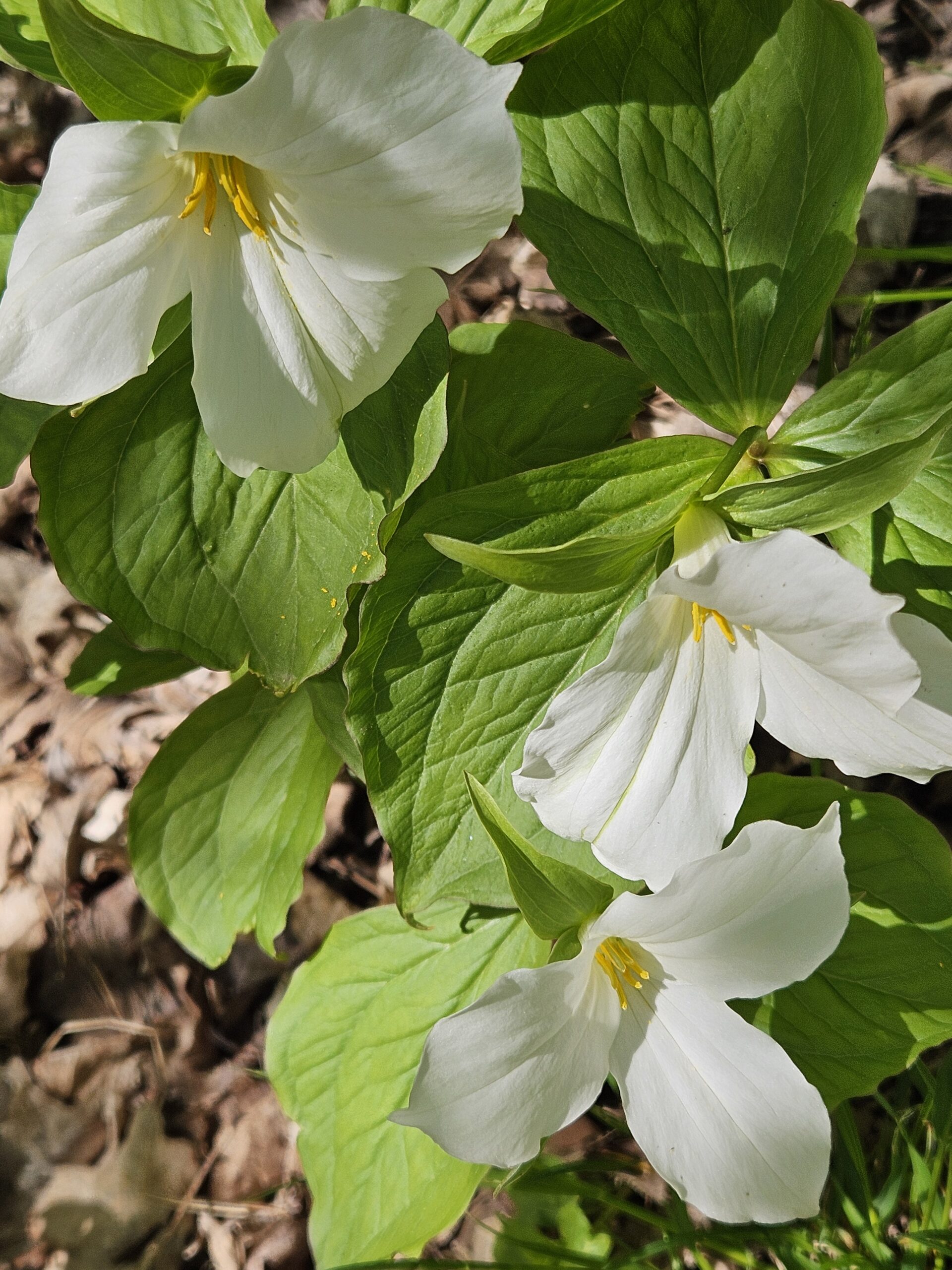
Join us to explore the trails of York Regional Forest and the Oak Ridges Corridor at Jefferson Forest and Bond lake,It is Trillium season and we will enjoy viewing Thousands of flowers,
From parking lot we hike thought Jefferson forest and continue to Bond Lake and have snack beside the lake and return to parking around 13 to 13.30
RAINBOW HIKE: Downtown Dundas to Dundas Peak/Spencer Gorge
https://hikesstaging.brucetrail.org/event/rainbow-hike-downtown-dundas-to-dundas-peak-spencer-gorge/Sorry, the registration cut-off time for this hike has been reached.Not a member? Click here to join today!Hosting Club: Iroquoia
Category: Rainbow Hike
Location (Google Maps): We’ll meet in the parking lot at Shawn & Ed’s Craft Brewery, 65 Hatt St., DundasHike Leader(s): Doug O’Neill Click here to contact Hike Leader(s)
Pace: Medium – 3 to 4 km/hr
Terrain: Moderate – Some hills and/or some poor footing
Distance: 10 kms (with optional 3 km extension to Webster’s Falls)Description
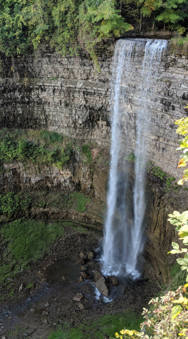
Come by car or HSR transit for this all-inclusive/LGBTQ-friendly hike from downtown Dundas to the top of Dundas Peak/Spencer Gorge with time to explore both Tew and, possibly, Webster’s Falls. FYI: Dundas Peak is an estimated 340 metres (1,100 feet) above sea level. Awesome views.We’ll rendezvous no later than 9:20 a.m. in the parking lot adjacent to Ed & Shawn’s Brewery (corner of Hatt Street and Sydenham). Look for me in olive-green Bruce Trail cap. Bonus for drivers: Parking is free in Dundas on Saturdays.
Tip: If you arrive early or need to use the loo before hiking, Starbucks (45 King St. W., downtown Dundas) is a 2-minute walk around the corner from parking lot.
Coming by bus? One option is to take the 8:49 a.m. 05-HEAD STREET via DOWNTOWN DUNDAS from the King & Bay bus stop (in front of Jackson Square). It could take about 25 minutes, depending on traffic. Get off at the King & Sydenham intersection, just a block from meet-up location. (Yup, public transit can be wonky but rest assured, we won’t leave without you if your bus is running late!)
Bus fares: $2.50-3.50.
The hike: From the parking lot at Ed and Shawn’s Brewery, we’ll head up Sydenham Street to Cascade Park and follow the Tew Fall Lookout Trail all the way up to the top of the escarpment, with stops at the Dundas Peak and Tew Falls lookouts.
You have two options: For those who would like to hike an extra 3 km to Webster Falls and back (1.5 km each way), we’ll do so via Harvest Road & Short Road, and have lunch at Webster’s Falls (for a 13 km hike). Your other option is to explore longer and have your lunch at Tew Falls. The “Webster’s” group will rejoin you on their way back.
We’ll partially retrace our route back along the top of the peak with a detour via Glen Ferguson Trail before we head back down to Dundas, where we can reward ourselves with a pint or other post-hike beverage. It’ll be relatively easy to take one of two bus routes to return to downtown Hamilton.
Please bring at least 2 litres of water, energizing snacks and lunch. Don’t forget sunscreen and insect repellent. Hiking boots or sturdy footwear are recommended—as well a cap.
Complimentary Bruce Trail Rainbow badges and/or stickers to all participants! Email any questions to the Hike Leader – “Click here to contact Hike Leader” on this form.
Geology Hike #7 Memorial Forest and Jones Falls
https://hikesstaging.brucetrail.org/event/geology-hike-7-memorial-forest-and-jones-falls/Sorry, the registration cut-off time for this hike has been reached.Not a member? Click here to join today!Hosting Club: Sydenham
Category: Geology Hike
Location (Google Maps):end of Youngs Drive by Pottawatomi Memorial Forest
Hike Leader(s): Carol Graham-Mullin Click here to contact Hike Leader(s)
Pace: Leisurely: 3 km/h or less
Terrain: Easy: Mostly flat and good footing., Moderate: Some hills and/or poor footing, Strenuous: Hilly with steep climbs and some poor footing., There might be muddy sections.
Distance: 3 km. approxDescription
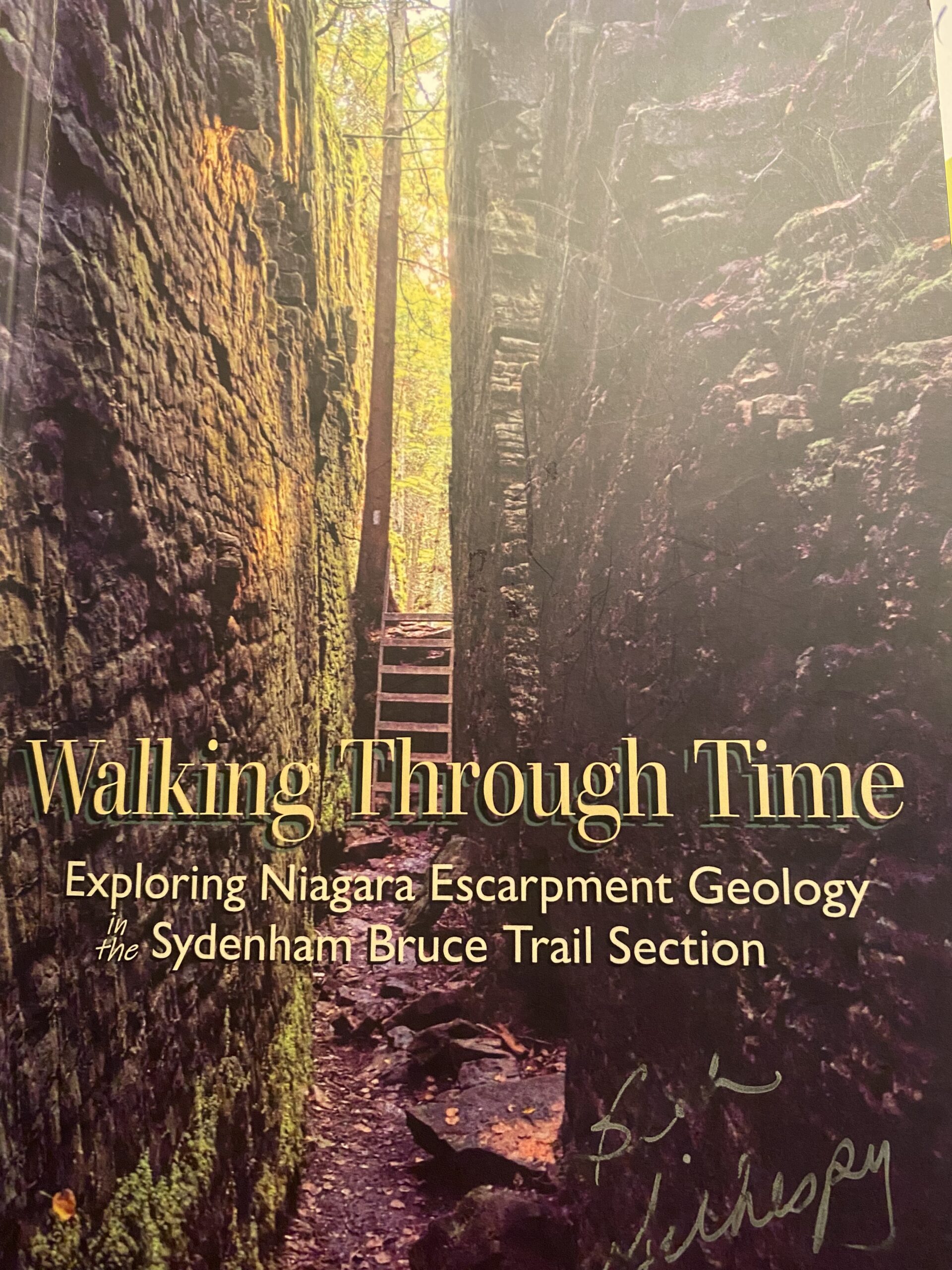
This is Geology Hike #7 (Memorial Forest and Jones Falls loop) following Beth Gilhespy’s book “Walking Through Time” in the Sydenham Bruce Trail Section. This is a loop hike, starting from the roadside parking area along Youngs Drive and the Pottawatomi Memorial Forest (accessed from Grey Road 17B aka Nicol’s Gully Road.Copies of Beth’s book will be available for purchase. Special member’s only price of $37.00 . Cash, cheque or etransfer. If paying with cash, please bring exact change. A special guest may join us ! Please bring water and a snack if you wish. Proper hiking footwear and hiking poles are recommended.