
Hike Schedule
Join us for a hike! Registration required.
All hikes available to BTC members. Some hikes are open to non-members.
See Refund Policy for Paid Hikes >
TIP: The calendar view displays up to 7 hikes on a day, but often there are more. Click “View more events” to see them all.
Categories
- 09February 9, 2025
Peninsula Blue Series: Forty Hills Side Trails Loop Hike
https://hikesstaging.brucetrail.org/event/peninsula-blue-series-forty-hills-side-trails-loop-hike/Sorry, the registration cut-off time for this hike has been reached.Not a member? Click here to join today!Hosting Club: Peninsula
Category: Winter Hikes
Location (Google Maps):Hike Leader(s): Saabir Sohrab, Shawn Radcliffe Click here to contact Hike Leader(s)
Pace: Medium (3.0 – 4.5 km/h): A comfortable pace for most hikers with steady progress.
Terrain: Difficult: Steep ascents/descents, rocky scrambling, and some rugged escarpment paths., Moderate: Rolling hills, mild slopes and rocky paths.
Distance: ~11kmDescription
Join us for an exciting loop hike through the Forty Hills area on the Bruce Trail, covering seven side trails and showcasing the natural beauty of the Niagara Escarpment in winter. This hike will feature scenic views, rugged terrain, and quiet forest paths—perfect for those looking to explore the winter wonderland of the Escarpment.Side Trails We Will Be Hiking:
Richardson Side Trail – A peaceful start through a forested section.
Whippoorwill Side Trail – Serene, wooded path named after the whip-poor-will bird.
Walter Brewer Side Trail – Offers elevated views and rocky terrain.
David Blasing Side Trail – A more challenging trail with rock outcrops and gorges.
Reeds Dump Side Trail – A quiet section with a beautiful winter forest landscape.
Alan Fowler Side Trail – Rocky ridges and panoramic views of the surrounding area.
White Bluffs Side Trail – Dramatic limestone cliffs and views over Georgian Bay.Winter Hiking Tips:
Wear appropriate winter footwear and traction devices (e.g., microspikes) for icy conditions.
Dress in layers to adjust to changing temperatures throughout the day.
Bring plenty of water, snacks, and a camera to capture the stunning scenery.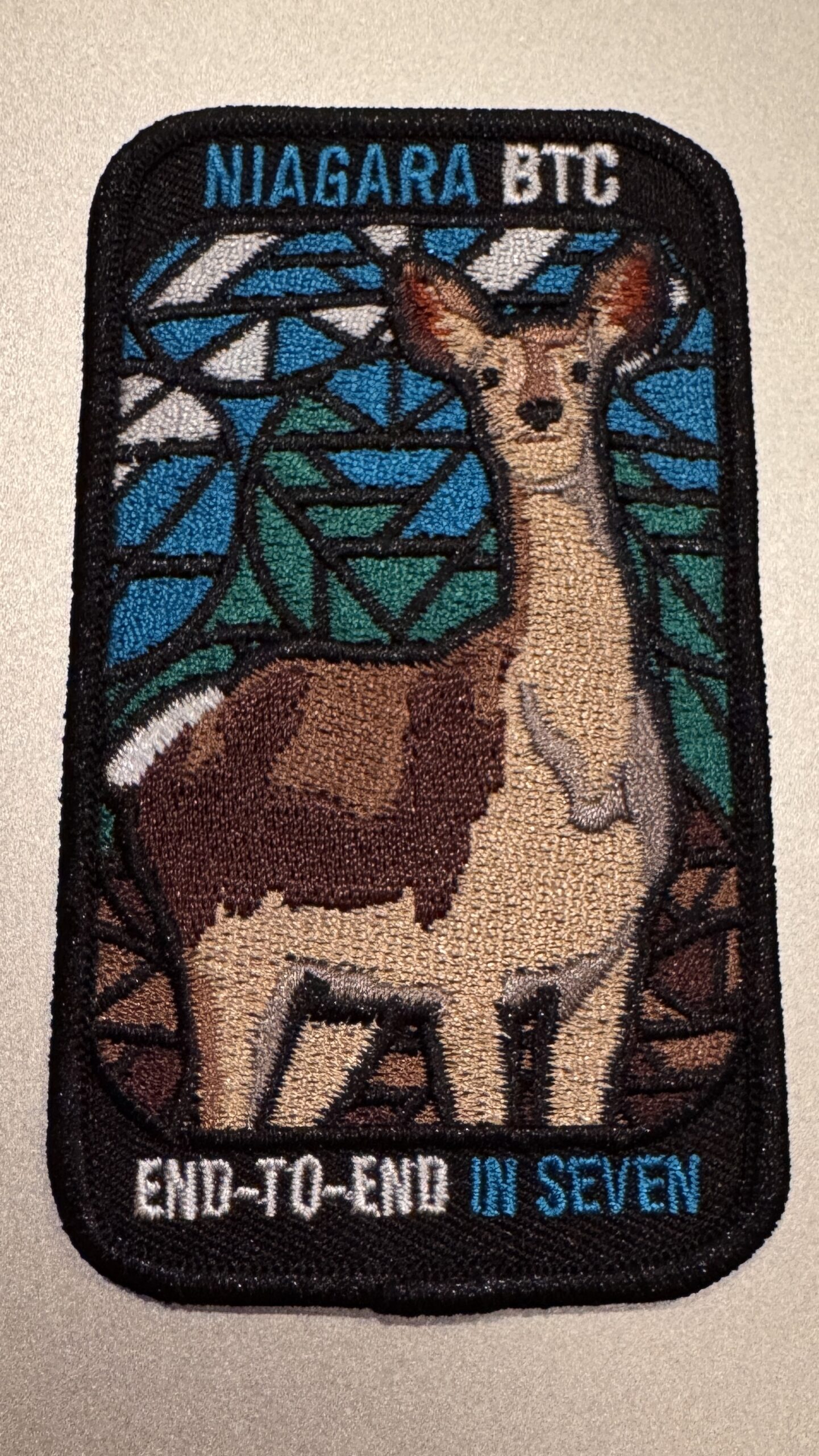
Niagara E2E in 5 - Stained-Glass Fundraiser Badge
https://hikesstaging.brucetrail.org/event/niagara-e2e-in-5-stained-glass-fundraiser-badge/Sorry, the registration cut-off time for this hike has been reached.Not a member? Click here to join today!This is a Multi-Day Hike
You are signing up for the following dates and times:
2025-02-09 at 09:00
2025-02-16 at
2025-02-23 at
2025-03-02 at
2025-03-09 atHosting Club: Niagara, Iroquoia
Category: Stained Glass Badge End to End Fundraiser Hike
Location (Google Maps):Woodend Conservation Area is our first meeting spot.
Hike Leader(s): Anita Bergsma Click here to contact Hike Leader(s)
Pace: Medium – 3 to 4 km/hr
Terrain: Moderate – Some hills and/or some poor footing
Distance: Varies but around 16km per outingDescription
Join us in earning a Niagara End 2 End Badge starting on February 9th, 2025 for a series of 5 hikes. Each hike will be approximately 16 kms at a moderate pace. This is suitable for intermediate to advanced hikers.We will be using hiker’s vehicles to shuttle between our start and end point for each hike.
Proper hiking boots and icers are a must! Bring hiking poles, food/snacks, water, hat, and rainwinter gear.
Arrive at 9:00am for roll call/check in/drive to the starting point. Hike will start at 9:30 am sharp
It is important to complete each section within a time frame to consider the shorter days.
Hikers will receive their Stain Glass End to End badge upon completion.
If you must miss a day but can make it up before the last scheduled hike, you will still qualify for the badge.
Please, no children/dogs. All logistics/scheduling/start/stop and parking (shared cost if there is a fee)and a hike leader to guide you, is included.
Planed routes, gps co-ordinates and parking information to be posted closer to hike time.
——————————————————————————–
Day 1: Queenston Heights to Woodend Conservation Area (16 KM)
Day 2 Woodend Conservation area to Decew House (16 KM)
Day 3 Decew House to Rockway (16 KM)
Day 4 Rockway to Margaret Reed Side Trail Parking (18.7 KM)
Day 5 Margaret Reed Parking to Grimsby Terminus (17 KM)
Car Hike: Oak Ridges Trail 15KM + Fish & Chips
https://hikesstaging.brucetrail.org/event/car-hike-oak-ridges-trail-15km-fish-chips/Sorry, the registration cut-off time for this hike has been reached.Not a member? Click here to join today!Hosting Club: Toronto
Category: Car Hike
Location (Google Maps): Rouge Park, Glasgow Area Parking LotHike Leader(s): Alina Lin
Pace: Brisk (4-5 km/hr)
Terrain: Challenging, Hilly, Level 2 (Intermediate – some hills and uneven surfaces, rocks and roots underfoot)
Distance: 15KMDescription
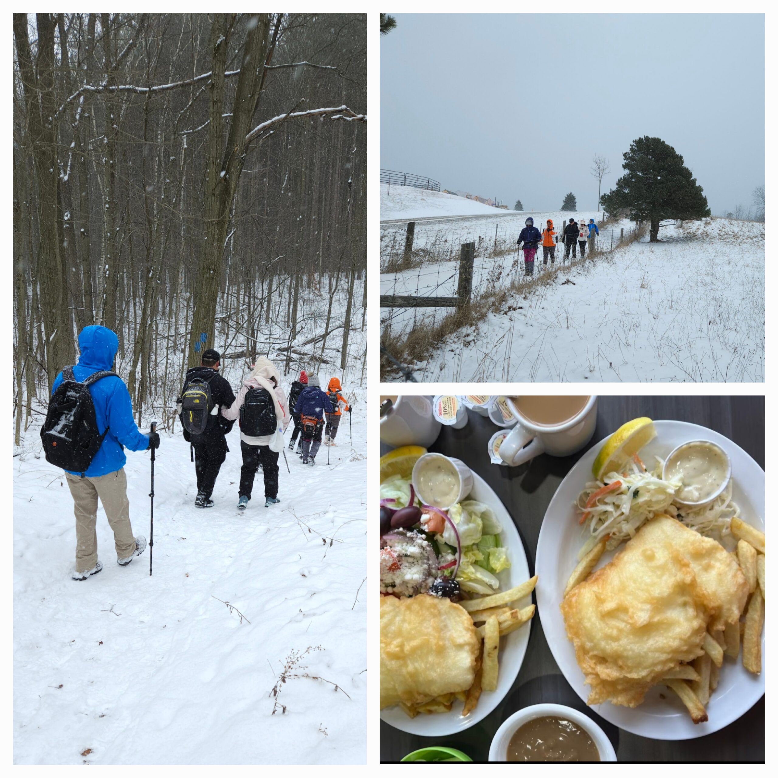
Meet at the parking lot southeast of the Webb Rd @ Concession Rd 2, GPS ( 43.991641, -79.203363) . Please arrive before 9:15 am to get yourself ready.We will leave the parking lot at 9:30am, hike along Oak Ridges Side and main Trails to Secord Lake, and then return, map FYI: https://onthegomap.com/s/7l4t9dua.
After hike, you are welcome to join the group for refreshments at Joy’s Fish & Chips ( 6728 Main St, Whitchurch-Stouffville, ON L4A 7W5).
Notes for your attention:
- Bring icers/crampons/microspikes as the trails are likely covered by hard snow or ice.
- Wear clothing in layers for the weather.
- Bring hot beverage and snacks.
- No dogs/pets.
Changed - Hilton Falls snowshoe hike
https://hikesstaging.brucetrail.org/event/crawford-lake-to-kilbride-e2e-linear-hike/Sorry, the registration cut-off time for this hike has been reached.Not a member? Click here to join today!Hosting Club: Iroquoia
Category: General Hike
Location (Google Maps): Meet in the main parking lot at Hilton Falls.Hike Leader(s): Karen Bergmann Click here to contact Hike Leader(s)
Pace: Medium – 3 to 4 km/hr
Terrain: Moderate – Some hills and/or some poor footing
Distance: 7 kmsDescription
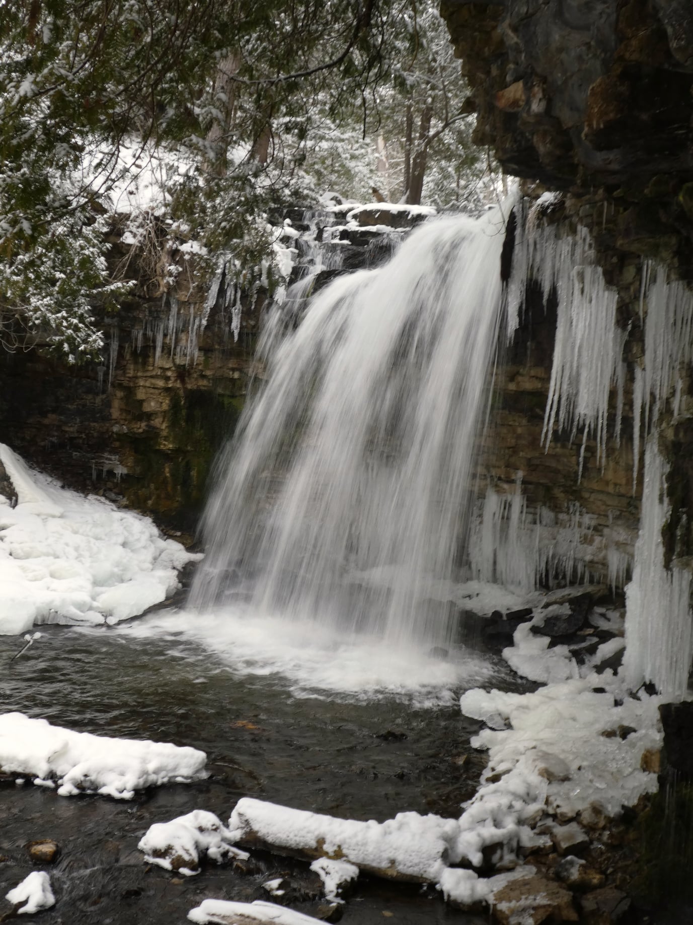
We will meet at 9:15 am in the parking lot at Hilton Falls. With the expected snow, I expect we will snowshoe, but you don’t need to snowshoe. You are welcome to just hike. Please bring icers for your boots and poles are recommended. Hike is dependent on weather conditions.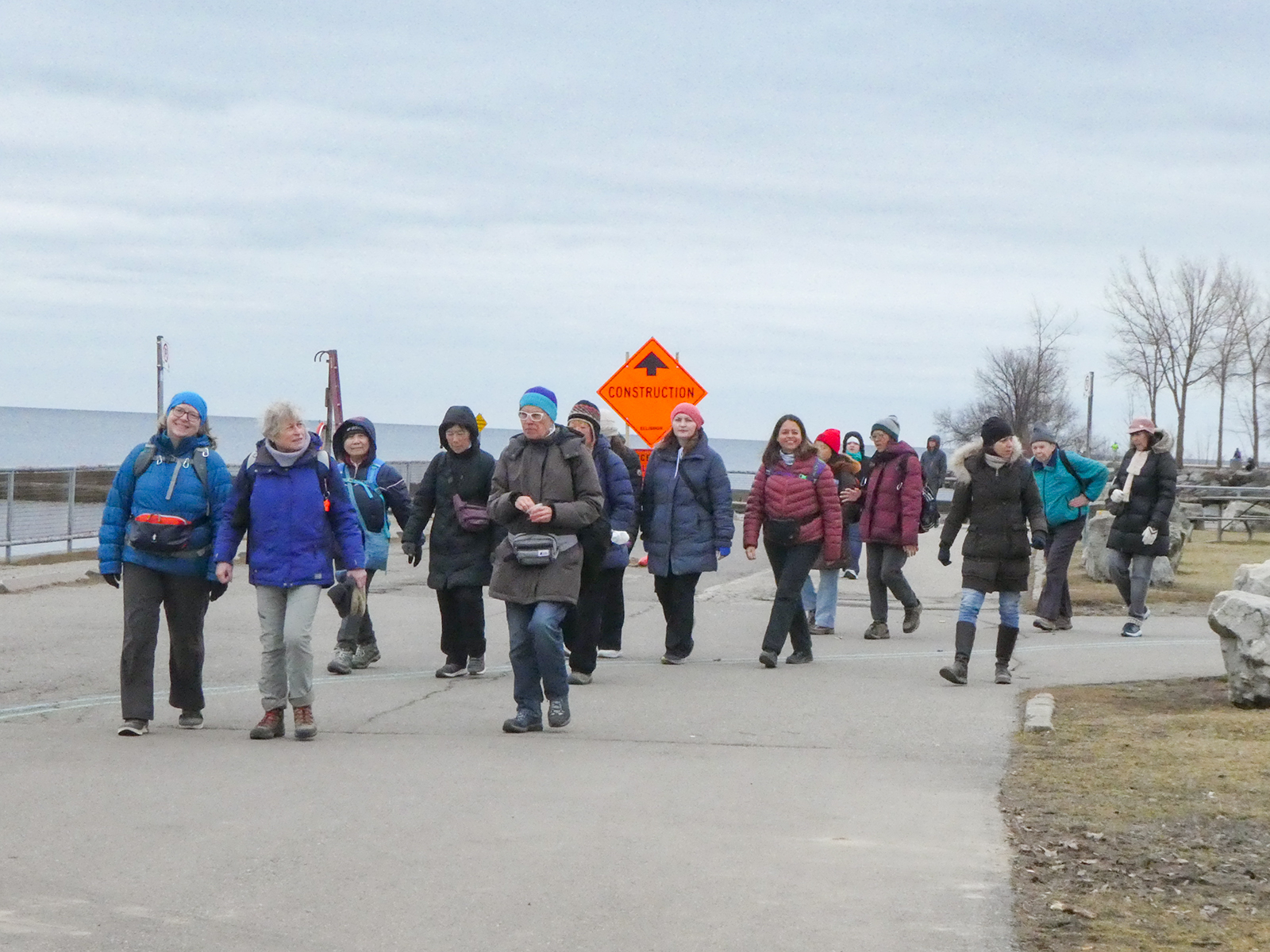
Urban Walk: Waterfront Trail 4/11 – Parklawn
https://hikesstaging.brucetrail.org/event/urban-walk-waterfront-trail-4-11-parklawn/Sorry, the registration cut-off time for this hike has been reached.Not a member? Click here to join today!Hosting Club: Toronto
Category: Urban Walk
Location (Google Maps): CanadaHike Leader(s): Brian Rideout Click here to contact Hike Leader(s)
Pace: Moderate (3-4 km/hr)
Terrain: Flat
Distance: 9.1 kmDescription
Please join me at Old Mill Station no later than 9:12 am. We will take the 66 bus departing 9:27 am, arriving 9:40 am. If you want to meet us at Parklawn and Lakeshore, please be there by 9:40 am. We start hiking at 9:50 am.We will hike east along the lake to Spadina. The estimated distance is 9.1 km. Here is an online map of our route Parklawn to Spadina
Bring a snack, at least 2 liters of water, and icers. Dress for cold weather.
To The Lake and Back CANCELLED
https://hikesstaging.brucetrail.org/event/to-the-lake-and-back/Sorry, the registration cut-off time for this hike has been reached.Not a member? Click here to join today!Hosting Club: Iroquoia
Category: Easy Does It Hikes
Location (Google Maps): Oakville, Maplegrove PlazaHike Leader(s): Anne Armstrong Click here to contact Hike Leader(s)
Pace: Leisurely – 3km/hr or less
Terrain: Dependent on Conditions, Easy – Mostly flat and usually good footing
Distance: Approx 9 km.Description
Please join us for this easy, semi urban walk along Joshua Creek in southeast Oakville. Please meet at 9:45 am. in the Maplegrove Plaza, (corner of Cornwall Road and Maplegrove Rd.) near the Rexall Drug Store. We will follow Joshua Creek down to Lake Ontario and back. Bring water, a snack and icers in case of snowy, icy trails.
Leader: Anne ArmstrongSnowshoe Exploring Sydenham Hike #32
https://hikesstaging.brucetrail.org/event/snowshoe-exploring-sydenham-hike-32/Sorry, the registration cut-off time for this hike has been reached.Not a member? Click here to join today!Hosting Club: Sydenham
Category: Snowshoe Hike
Location (Google Maps):The Owen Sound Galaxy Cinema parking lot. Meet at the tall “Galaxy Centre” sign next to the traffic lights.
Hike Leader(s): Bill Snel Click here to contact Hike Leader(s)
Pace: Leisurely: 3 km/h or less
Terrain: Moderate: Some hills and/or poor footing
Distance: 2 kmDescription
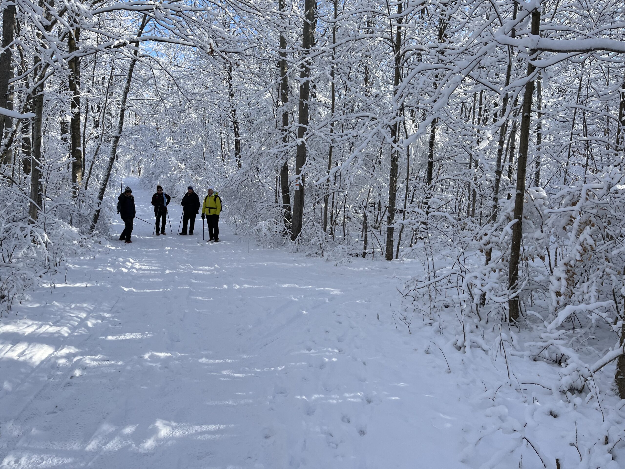
We will carpool to do a snowshoe hike of the Frank Holley Loop. This is hike #32 in the book, Exploring Sydenham. There is one secret to locate. If you do not have a book and would like one ($30) let me know by using the “Contact hike leader” link.