
Hike Schedule
Join us for a hike! Registration required.
All hikes available to BTC members. Some hikes are open to non-members.
See Refund Policy for Paid Hikes >
TIP: The calendar view displays up to 7 hikes on a day, but often there are more. Click “View more events” to see them all.
Categories
- 13February 13, 2025
Frosty Five Blues Series 5/5
https://hikesstaging.brucetrail.org/event/frosty-five-blues-series-5-5/Sorry, the registration cut-off time for this hike has been reached.Not a member? Click here to join today!Hosting Club: Caledon Hills
Category: General
Location (Google Maps): Meet north of the intersection of Cataract Road and Mississauga Road at the Elora Cataract Trailway Trail Head. Google Coordinates: 43.813120, -80.028656 (Map 15, Edition 31)Directions: From ON-10 head west on Charleston Sideroad/Peel Regional Rd 24 for 5.5 km. Turn left onto Mississauga Rd. and drive for 1.0 km. Park on west shoulder.
Hike Leader(s): Sandy Green Click here to contact Hike Leader(s)
Pace: Medium – 3 to 4 km/hour
Terrain: Strenuous – hilly with steep climbs and some poor footing
Distance: 11 kilometresDescription
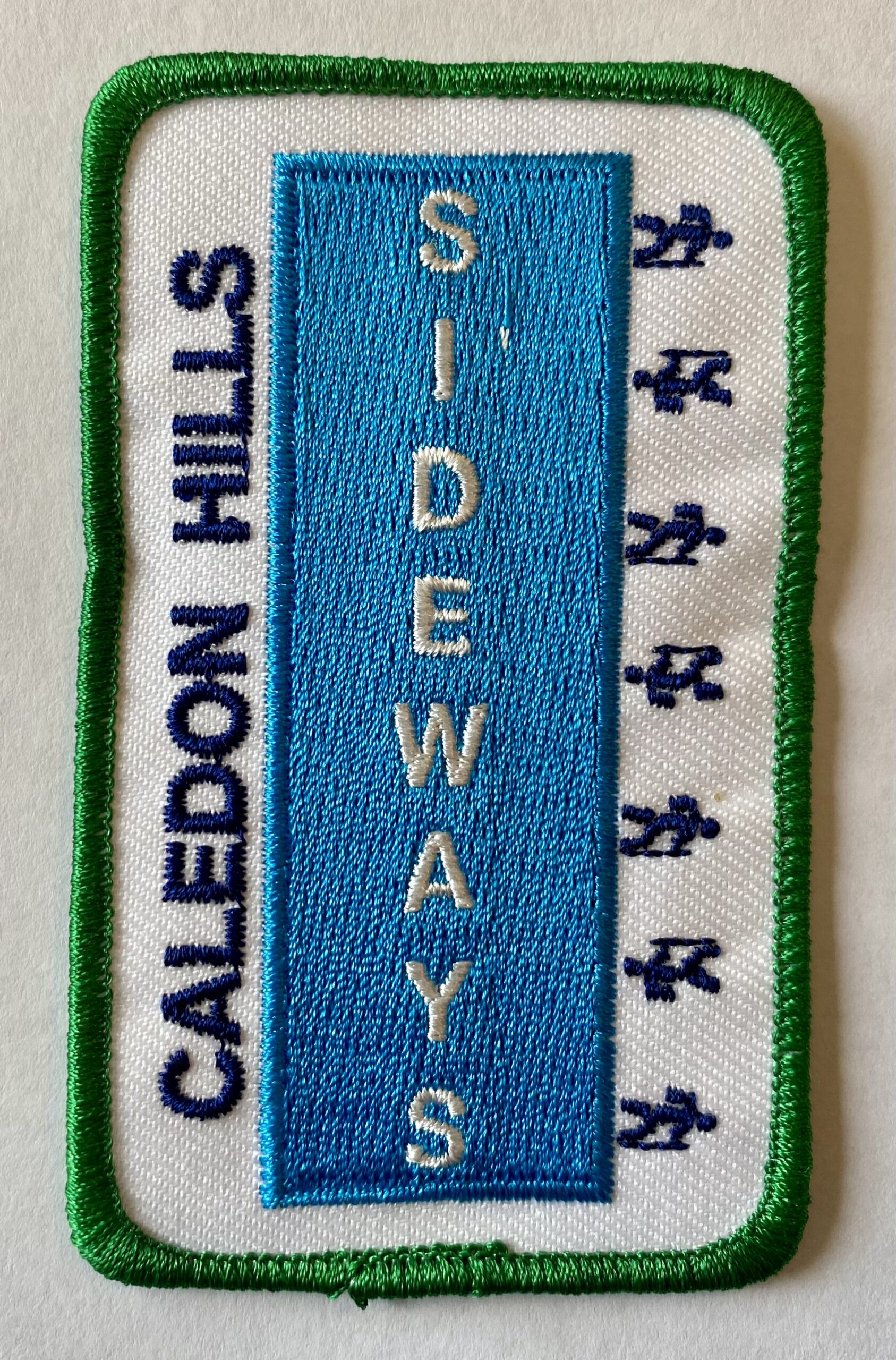
THIS HIKE HAS BEEN POSTPONED TO THURSDAY, FEBRUARY 20TH, DUE TO INCLEMENT WEATHER.Beat the winter blues! Register individually for one, a few, or all of the Frosty Five Blues hikes. Participants who complete all five hikes are eligible to receive a CHBTC Winter badge and new Sideways badge on the final hike. Hike 5 explores main Trail and side trails in Forks of the Credit Provincial Park . Bring your choice of hydration and snacks. Hiking boots and icers/crampons are required. See Jan. 9, 23, 30, & Feb. 6 for details pertaining to the other hikes in the series. (Note: If you wish to purchase badges, the cost of each badge is $10.00 for BTC members and $15.00 for non-members.)
Urban Walk: Valley View Park Thornhill
https://hikesstaging.brucetrail.org/event/urban-walk-valley-view-park-thornhill-55/Sorry, the registration cut-off time for this hike has been reached.Not a member? Click here to join today!Hosting Club: Toronto
Location (Google Maps): Parking lot is inside Sycamore Drive East of Bayview , north of Bayview Reservoir Park Playground
Hike Leader(s): Mohammad Aghamiri Click here to contact Hike Leader(s)
Pace: Moderate (3-4 km/hr)
Terrain: Level 2 (Intermediate – some hills and uneven surfaces, rocks and roots underfoot)
Distance: 7-8 kmDescription
We will explore Valleyview and Maple View parks, and walk along German Mill Creak,In return we stop in Huntington park and have snack under beautiful shed ,Even it is considered Urban walk, but it is urban hike as we have some up and down hills and tree roots, please bring your Ice cleats and hiking poles
CANCELLED 9:00 am Long Hike Cave Spring
https://hikesstaging.brucetrail.org/event/900-am-long-hike-cave-spring-2/Sorry, the registration cut-off time for this hike has been reached.Not a member? Click here to join today!Hosting Club: Niagara
Location (Google Maps):
Cave Spring Conservation Area
Hike Leader(s): Alan Laver Click here to contact Hike Leader(s)
Pace: Medium
Terrain: Moderate
Distance: 10kDescription
From Cave Spring Conservation Area explore the trail network on the escarpment You must register for each hike. Bring Poles, snack and a drink and dress for the weatherCANCELLED
https://hikesstaging.brucetrail.org/event/hiking-around-jordan-22/Sorry, the registration cut-off time for this hike has been reached.Not a member? Click here to join today!Hosting Club: Niagara
Location (Google Maps): Shoarishon Park (formerly known as Jordan Hollow)
Hike Leader(s): Bill Russell Click here to contact Hike Leader(s)
Pace: Medium
Terrain: Moderate
Distance: 7 kmDescription
Hike various trails in Jordan (Balls Falls, Jim Rainforth Trail and Bailey Bridge through the village of Jordan)
Cancelled- RBG Berry Tract
https://hikesstaging.brucetrail.org/event/rbg-berry-tract/Sorry, the registration cut-off time for this hike has been reached.Not a member? Click here to join today!Hosting Club: Iroquoia
Category: Thursday Group
Location (Google Maps): Old Guelph Line near Hwy 6 TunnelHike Leader(s): Colleen Mabalay Click here to contact Hike Leader(s)
Pace: Medium – 3 to 4 km/hr
Terrain: Easy – Mostly flat and usually good footing, Moderate – Some hills and/or some poor footing
Distance: 5-6 kmDescription
There is a couple of sets of stairs on this hike.Bring water, snack and icers.
- 14February 14, 2025
Feb. 14-17, 2025 - Family Day Snowshoe Weekend in Tobermory (3 nights)
https://hikesstaging.brucetrail.org/event/feb-14-17-2025-family-day-snowshoe-weekend-in-tobermory-3-nights/Sorry, the registration cut-off time for this hike has been reached.Not a member? Click here to join today!This is a Multi-Day Hike
You are signing up for the following dates:
2025-02-14, 2025-02-15, 2025-02-16, 2025-02-17Hosting Club: Toronto
Category: Car Hike
Location (Google Maps):Princess Hotel
34 BAY STREET SOUTH TOBERMORY, ONTARIO N0H 2R0, CANADAHike Leader(s): Jeanette Vincent, David Royle, Brenda Menezes Click here to contact Hike Leader(s)
Pace: Moderate (3-4 km/hr)
Terrain: Level 2 (Intermediate – some hills and uneven surfaces, rocks and roots underfoot), VariableDescription
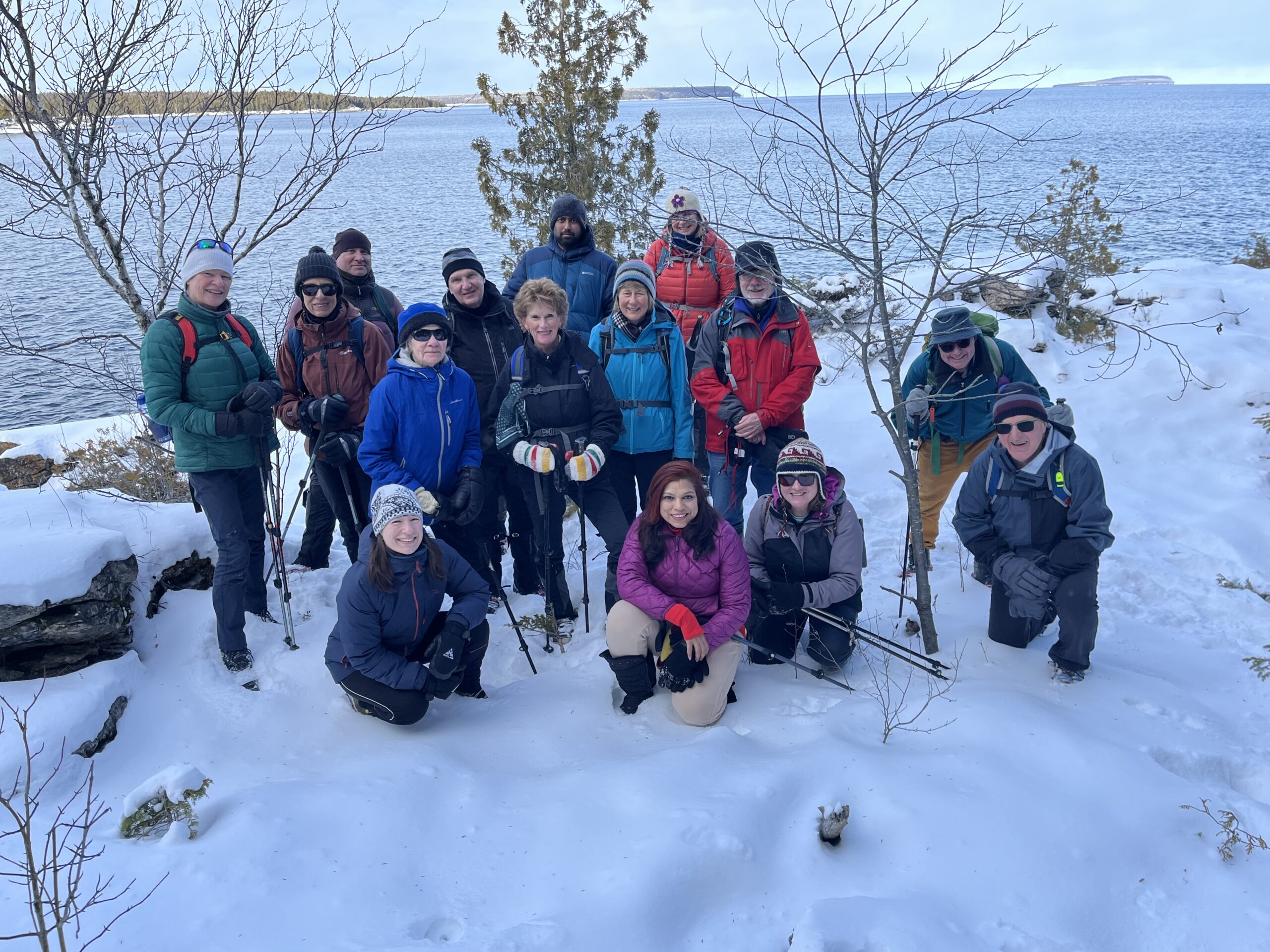
Jeanette Vincent, Brenda Menezes and David Royle will continue the tradition of Greg Vincent’s Family Day Snowshoe Weekend in Tobermory. Celebrate with a weekend trip snowshoeing the trails of the National Park at the “Tip o’ the Bruce” Tobermory.We arrive Friday, February 14th at our comfortable hotel overlooking Little Tub Harbour where we stay and have our meals for three nights at the Princess Hotel in Tobermory.
This outing is restricted to those staying and having their meals with us at the Princess Hotel in Tobermory for the weekend. Space is limited make your reservation asap. Please email Jeanette for the prices for the weekend at the Princess Hotel package and additional information. Once you receive the package, if you plan to join us call the Princess for rates and a reservation 1-519-596-8282 or info@tobermoryprincesshotel.com and mention Vincent/Royle Winter Snowshoe weekend when booking. Once you have made your reservation, be sure to register for this event on the Toronto Bruce Trail Club please email Jeanette at vincentjeanette1604@gmail.com once you are registered and made your reservation.
Coach Trip: Winter Weekend in Magog, Quebec Feb 14 to 17, 2025
https://hikesstaging.brucetrail.org/event/coach-trip-winter-weekend-in-magog-quebec-feb-14-to-17-2025/Sorry, the registration cut-off time for this hike has been reached.Not a member? Click here to join today!Trip Information
Departure Time: 07:00
Return to City Time: 22:00
Departure Point: York Mills Bus PickupTrip Activities
Cross-country ski ($20)
Snowshoe/winter hike ($13)
Optional ItemsHosting Club: Toronto
Category: Coach Trips
Location (Google Maps): Parc national du Mont-OrfordHike Leader(s): Martina Furrer, Leonora Rochwerger, Marie-Josée Roy, Kadhim Taki and Tim Wainwright Click here to contact Hike Leader(s)
Pace: Moderate (3-4 km/hr)
Terrain: Challenging, HillyDescription
Please do not register if you don’t have a roommate; also, you and your roommate should register at the same time. Unfortunately, single occupancy isn’t possible.Spend your days exploring the Parc national du Mont-Orford and your evenings on the shore of Lake Memphremagog. Explore the park on foot or cross-country skis. Join a guided snowshoe/winter hike each day. There will be two groups. On the full days each group will do full day hikes; one group will cover slightly more distance and possibly more challenging terrain than the other. Alternatively, you can team up with friends and explore at your own pace (30 km of trails to explore). Or snap on your skis and enjoy self-guided tours on trails groomed for classic (50 km) and skate (26 km) skiing. We might also explore the Parc des Sommets in nearby Bromont. Join us for winter fun in Quebec’s Eastern Townships.
Travel direct from Toronto in a luxury highway coach. Bus will depart from 10 York Mills Rd at 7 AM on Friday February 14, 2025 and be back in Toronto between 9 and 10 PM on Monday February 17, 2025.
We’ll be staying in the Auberge du Grand Lac in the heart of Magog, walking distance to shops, galleries, pubs, cafés, and a 2.8 km skating trail (lit at night) on the shore of Lake Memphremagog. The Marais de la Riviere aux Cerises with hiking and snowshoe trails (5 km) can also be reached on foot from the Auberge du Grand Lac.
Note to winter hikers/snowshoers: Expect more hills and longer climbs than in southern Ontario. On some routes there could be sustained climbs with elevation gains that are four times as much as Murphy’s Pinnacle or two times the Beaver Valley ski hill.
Coach fare is $205 for members, $225 for non-members, and $100 for children 12 and under.
Accommodation is $223.50 (plus tax and gratuity) per person based on double occupancy (or $447 plus tax and gratuity per room). This includes three overnights and three boxed breakfasts. Note: The Auberge du Grand Lac has 28 rooms so single occupancy will not be possible. If you need help finding a roommate contact Martina.
Trail fees are not included in the above prices. Expect to pay about $20 per day.
Equipment rentals: Cross-country ski equipment is available in the Le Cerisier Discovery and Visitors Centre in the Parc national du Mont-Orford. Reservation by phone (1-800-665-6527) is mandatory at least 24 hours in advance. Snowshoes and crampons are also available; reservations aren’t necessary for them. Ice skates can’t be rented in the park or in Magog. Equipment can’t be rented in the Parc des Sommets in Bromont.
Registration instructions:
- Complete the online registration form and pay your coach fare to secure your seat on the bus.
- Martina will send you the Auberge du Grand Lac’s registration form.
- Once you receive the form you will have 48 hours to complete it, email it to the Auberge du Grand Lac, and pay your deposit. Please pay your deposit (50 % of your stay) at the same time you send in your form.
Cancellation policy: This trip will not be cancelled due to weather. If there isn’t enough snow to ski and snowshoe we will hike.
Register by December 7. Coach fare is non-refundable. All applicable fuel surcharges and taxes in effect as of October have been included in the coach fare. However in these volatile times the Toronto Bruce Trail Club reserves the right to charge for currently unanticipated increases in the cost of fuel.
We recommend that you purchase trip cancellation insurance and emergency medical insurance in case of injury or illness while outside Ontario.
Questions? Contact Martina at martinabeatrice@gmail.com

Winterloops #4 - Terra Cotta -CANCELLED
https://hikesstaging.brucetrail.org/event/winterloops-4-terra-cotta/Sorry, the registration cut-off time for this hike has been reached.Not a member? Click here to join today!Hosting Club: Iroquoia
Category: General Hike
Location (Google Maps):Hike Leader(s): Pati Greenwood, Jeff Dowsett Click here to contact Hike Leader(s)
Pace: Medium – 3 to 4 km/hr
Terrain: Moderate – Some hills and/or some poor footing, Slippery Sections Likely
Distance: 11.25 kmDescription
THIS HIKE HAS BEEN CANCELLEDThis is a series of five winter loop hikes. Join us for one, some or all.
Today’s hike will explore the Terra Cotta Conservation are on the main trail and side trails. Bring snacks, and plenty of water. Dress in layers for winter weather, bring icers and hiking poles.
Please arrive by 8:15 am as we will depart promptly at 8:30 am.

9:00 am Niagara-on-the-Lake Tour
https://hikesstaging.brucetrail.org/event/900-am-niagara-on-the-lake-tour-30/Sorry, the registration cut-off time for this hike has been reached.Not a member? Click here to join today!Hosting Club: Niagara
Category: Urban
Location (Google Maps):Veterans Memorial Park, park just outside the park on King Street
Hike Leader(s): Robin Garrett Click here to contact Hike Leader(s)
Pace: Medium
Terrain: Easy
Distance: 6-7 kmDescription
Each Friday we will explore different neighbourhoods, trails and parkland throughout Historic Niagara-on-the-Lake.Moderate pace with some weeks entirely on sidewalks and roads while others may include a mix of trails and paved pathways. Great way to build up endurance for longer more strenuous hikes.
Prepare for cooler windy conditions on open parkland and along Lake Ontario and Niagara River trails.
Plan to stay for conversation and a warm cup of coffee or tea at Sweets & Swirls, Community Centre, Niagara Stone Road, NOTL
Halton Agreement Forest - How to use All Trails to navigate your hikes
https://hikesstaging.brucetrail.org/event/halton-agreement-forest-4/Sorry, the registration cut-off time for this hike has been reached.Not a member? Click here to join today!Hosting Club: Iroquoia
Category: General Hike
Location (Google Maps): Meet roadside on 4th Line. Up Guelph Line from the 401, turn right on 10 Side Road and follow the curve as it becomes 4th Line.Hike Leader(s): Karen Bergmann Click here to contact Hike Leader(s)
Pace: Medium – 3 to 4 km/hr
Terrain: Moderate – Some hills and/or some poor footing
Distance: 8 kmsDescription
We will hike around the bike trails in this lovely Forest, including The Den and The Pines. Bring icers for your boots. During this hike, we will learn how to use the All Trails app to find our way around the Forest. Each hiker will take turns leading us around the trails. Hike is dependent on weather conditions. - 15February 15, 2025
Car Hike: Boyd conservation park
https://hikesstaging.brucetrail.org/event/car-hike-boyd-conservation-park-2/Sorry, the registration cut-off time for this hike has been reached.Not a member? Click here to join today!Hosting Club: Toronto
Location (Google Maps): Free parking lot before main entrance of park
Hike Leader(s): Mohammad Aghamiri Click here to contact Hike Leader(s)
Pace: Moderate (3-4 km/hr)
Terrain: Level 2 (Intermediate – some hills and uneven surfaces, rocks and roots underfoot), Variable
Distance: 12-14 kmDescription
Let’s hike Boyd conservation park trails through beautiful valleys.It is winter time,please bring your ice cleats and proper clothing and hiking poles are recommended
Urban Walk: Uxbridge Trails
https://hikesstaging.brucetrail.org/event/urban-walk-uxbridge-trails-4/Sorry, the registration cut-off time for this hike has been reached.Not a member? Click here to join today!Hosting Club: Toronto
Category: Urban Walk
Location (Google Maps):Union Station – Meet in the Great Hall by the information desk with the clock over it by 9:00. We will take the 9:13 Stouffville Line train to Mount Joy GO Station and connect to the GO Bus towards Uxbridge. You may alternatively board the GO Train at Kennedy GO Station or stops in north Scarborough. The GO $10.00 Transit Day Pass, available for smart phones, is valid for return travel on the train and GO Bus. Hikers without a smart phone may purchase the Day Pass from the Hike Leader. Seniors return fare from Union is $10.61 with Presto including their TTC Fare which is the cheaper option for them.
Hike Leader(s): Tom Swales
Pace: Moderate (3-4 km/hr)
Terrain: Level 2 (Intermediate – some hills and uneven surfaces, rocks and roots underfoot), Variable
Distance: 12Description
Join us for a winter hike on the Countryside Preserve trails, the Ewan and Historic Trails into downtown Uxbridge. Due to the limited bus service plan on joining us for a refreshment stop at the local brewery or pub before returning to the city. Bring icers (mandatory) and poles if preferred. Difficulty and routing may be determined by amount of recent snowfall.Enjoy your day after Valentines hiking with the Toronto Bruce Trail Club. Discounted chocolates welcome.

CANCELLED 9:00 NOTL Black History SERIES - #3 of 4: Standing Firm for Freedom: The Solomon Moseby Affair
https://hikesstaging.brucetrail.org/event/900-notl-black-history-series-3-of-4-standing-firm-for-freedom-the-solomon-moseby-affair-2/Sorry, the registration cut-off time for this hike has been reached.Not a member? Click here to join today!Hike open to BTC Members only.
Hosting Club: Niagara
Category: Urban
Location (Google Maps):Veteran’s Memorial Park. Park on King St. at Centre.
Hike Leader(s): Karen Couch Click here to contact Hike Leader(s)
Pace: Medium
Terrain: Easy
Distance: 7 – 8 kmsDescription
Since 1995, the government in Canada officially recognized February as Black History Month; a time when Canadians are invited to reflect, educate and engage in the ongoing fight against anti-Black racism and discrimination. You will find out about some of those who fought enslavement, and how they were pivotal in shaping our society to be as diverse as it is today.*Dress for the weather. Icers and hiking poles are recommended as paths tend to be icy. We will stop several times. Expect hike to take from 1.5-2 hours.
Hike 3 of 4 hikes in this series for the Black History badge.
PLEASE NOTE: Hikes are offered by volunteers who have committed to their own learning to be able to offer informative and contemplative hike experiences. These hikes are open to all and offered in a spirit of mutual leaning and inclusion.
Dundas Valley Winter Hike
https://hikesstaging.brucetrail.org/event/dundas-valley-winter-hike/Sorry, the registration cut-off time for this hike has been reached.Not a member? Click here to join today!Hosting Club: Dufferin Hi-Land
Category: General Hike
Location (Google Maps): Please note the meeting point location- it’s at the Dundas Valley Conservation parking lot at the end of Lions Club Rd. Follow this road to the end, then enter the gates leading to the parking lot. Paid entrance by credit card at the gate. Please note that there are a number of parking lots within this conservation area.Hike Leader(s): Gilles Gagnon Click here to contact Hike Leader(s)
Pace: Medium
Terrain: Slippery and Steep Sections
Distance: 8.5 to 15 depending on conditions. Drop out options available at about 9 km markDescription
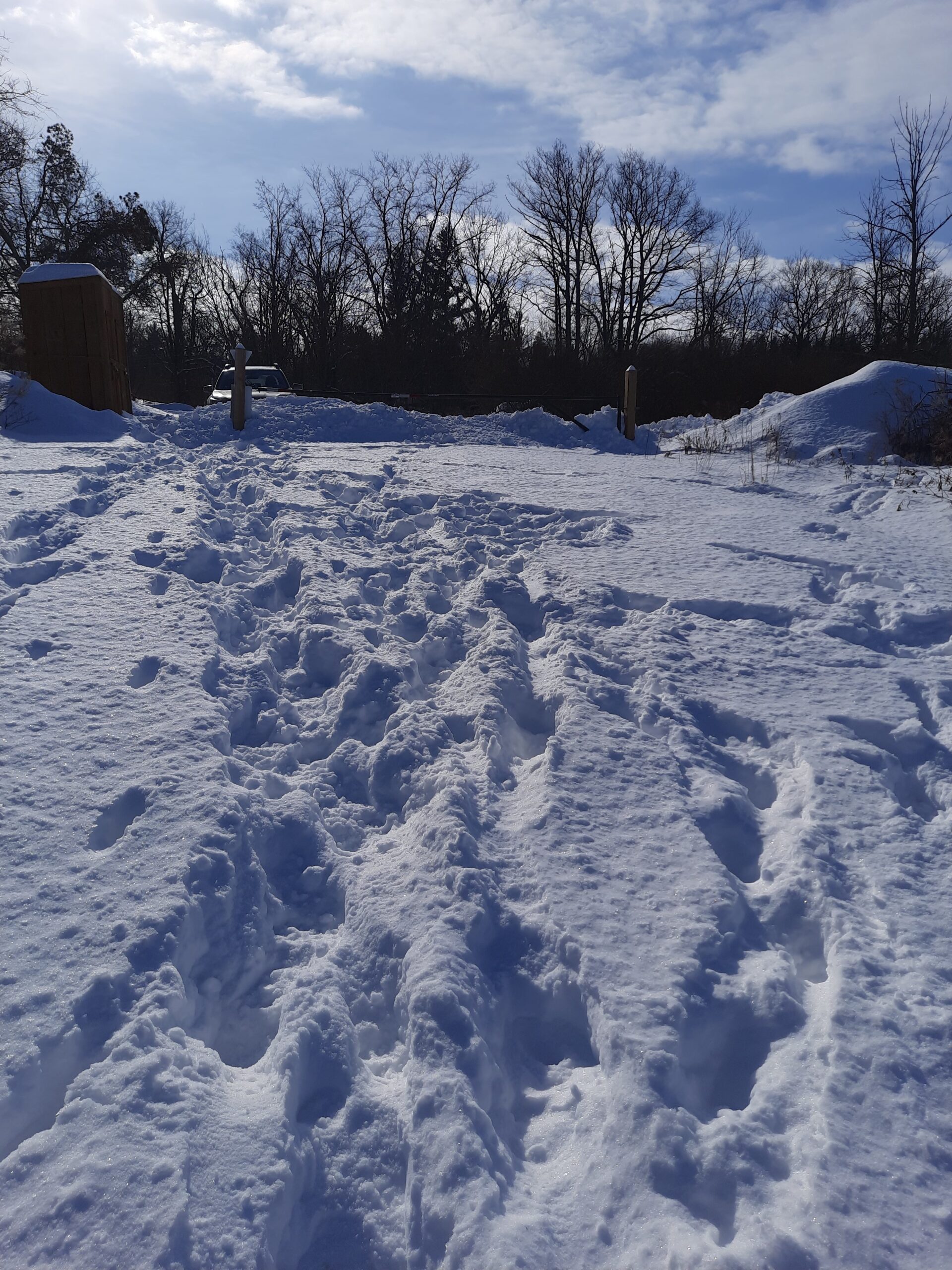
Circular hike within the Dundas Valley Conservation area taking in Canterbury, Sherman, and Tiffany Falls. Icers are required/ snowshoes (to be advised depending on conditions ). Optional pub stop afterwards.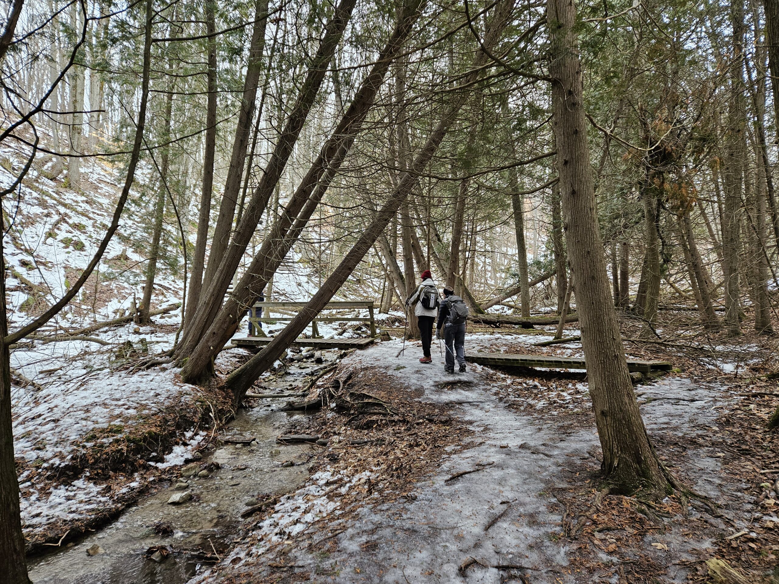
Saturday Shorts: Hockley Valley Provincial Nature Reserve
https://hikesstaging.brucetrail.org/event/saturday-shorts-hockley-valley-provincial-nature-reserve-2/Sorry, the registration cut-off time for this hike has been reached.Not a member? Click here to join today!Hike open to BTC Members only.
Hosting Club: Caledon Hills
Category: General
Location (Google Maps): Meet at 10 am at the parking area (10 cars) on 3rd Line, north of Hockley Road. (Note: We are not meeting at the main parking area on Hockley Road. Go north on 3rd Line. The parking area is on the east side of the road.) It is best to aim for arriving around 9:45, so we can start hiking as close to 10 am as possible. Thanks!Hike Leader(s): Dan Revington; Elizabeth Ganong Click here to contact Hike Leader(s)
Pace: Medium – 3 to 4 km/hour
Terrain: Moderate – some hills and/or some poor footing, Strenuous – hilly with steep climbs and some poor footing
Distance: Approximately 4 kmDescription
Looking to get out on a Saturday but not give up your whole day? Saturday Shorts, a hiking series, will get you out in a small group on a short hike. This Saturday’s hike is a hilly challenge as we use side trails and the main trail to make a 4 km loop in the Hockley Valley Nature Reserve. Be prepared for winter conditions by bringing warm gear, poles, and icers. You are encouraged to bring water and a snack. No dogs please.The hike leader for this hike is Dan Revington. Registrants can expect a reminder/update message from Dan one or two days before the hike.
If desired, this hike may be used towards the Caledon Winter Hiking Badge (5 winter hikes in the Caledon section that are 1 ½ hours or longer in length). Please keep a log of your hikes and follow the directions on the CHBTC website under Club Badges to receive your badge.

Urban Walk: Waterfront Trail 6/11 – Lakeshore East
https://hikesstaging.brucetrail.org/event/urban-walk-waterfront-trail-6-11-lakeshore-east-2/Sorry, the registration cut-off time for this hike has been reached.Not a member? Click here to join today!Hosting Club: Toronto
Category: Urban Walk
Location (Google Maps): CanadaHike Leader(s): Brian Rideout Click here to contact Hike Leader(s)
Pace: Moderate (3-4 km/hr)
Terrain: Flat
Distance: 10.9 kmDescription
Please join me at the Tim Horton’s at Lakeshore and Leslie no later than 9:50 am. We start hiking at 10:00 am.We will hike east on Lakeshore, along the Beaches Boardwalk, and on Kingston Rd to Brimley Rd. The estimated distance is 10.9 km. Here is an online map of our route Lakeshore to Brimley Rd
Bring a snack, at least 2 liters of water, and icers. Dress for cold weather.
Soup's On Hike - Fairmount Area
https://hikesstaging.brucetrail.org/event/soups-on-hike-fairmount-area-2/Sorry, the registration cut-off time for this hike has been reached.Not a member? Click here to join today!Hosting Club: Beaver Valley
Location (Google Maps): Meet in the laneway of Bob & Joan’s property, 806492 Side Road 25, between Webwood Falls & 3rd Line. If the laneway is full, park on the shoulder of the road, south side.
Hike Leader(s): Glenda Collings Click here to contact the hike leader.
Pace: Medium
Terrain: Moderate
Length of Hike: Approx. 5 kmDescription
SOUP’S ON! Join us for a lovely snowshoe through woods and fields on the property of Bob Hann & Joan Nuffield, followed by a warming lunch in their home. They will provide the soup, plus coffee & tea and you’ll bring a sandwich, or your choice of accompaniment to go with it. If you’d like to bring goodies to share for dessert, feel free! Folks are welcome to show up just for the lunch, or conversely, just for the hike. If you are there just for lunch, please arrive between 12:00 and 12:30 p.m. Depending on the conditions, we may use snowshoes, icers or just boots, so please come prepared. If you have any questions please contact beavervalleytrailactivities@gmail.com. The hike leader will inform the group in the morning on Feb. 15 if weather conditions preclude the hike. Hope to see you there! Please car pool if possible. - 16February 16, 2025

Rush Cove Ice Caves Hike
https://hikesstaging.brucetrail.org/event/rush-cove-ice-caves-hike/Sorry, the registration cut-off time for this hike has been reached.Not a member? Click here to join today!Hosting Club: Peninsula
Category: Winter Hikes
Location (Google Maps): Rush Cove Road municipal parking lotHike Leader(s): Shawn Radcliffe Click here to contact Hike Leader(s)
Pace: Medium (3.0 – 4.5 km/h): A comfortable pace for most hikers with steady progress.
Terrain: Difficult: Steep ascents/descents, rocky scrambling, and some rugged escarpment paths., Moderate: Rolling hills, mild slopes and rocky paths.
Distance: 9.0 kmDescription
Join us for an exciting in-and-out hike to visit the ice caves that form along the escarpment east of Rush Cove. This hike will also feature scenic views of Georgian Bay and walks through snowy forests—perfect for those looking to explore the winter wonderland of the Bruce (Saugeen) Peninsula.We will meet at the Rush Cove Road municipal parking lot at the top of the hill and hike the side trail down the road to the main trail, at which point we will enter the forest. We will follow the main trail to the Shoreline Access side trail, which will take us to the ice caves. On our return, we will take the Rush Cove side trail to meet up with the main trail and then follow the side trail back up the hill to the parking lot.
Winter Hiking Tips:
Wear appropriate winter footwear and traction devices (e.g., microspikes) for icy conditions.
Snowshoes may be needed, depending upon how much snow is on the ground. Gaiters can also keep the snow out of your boots.
Dress in layers to adjust to changing temperatures throughout the day.
Bring plenty of water, snacks, and a camera to capture the stunning scenery.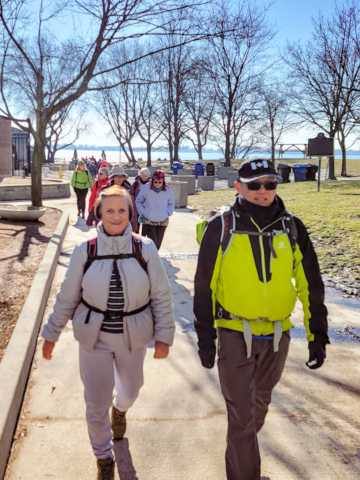
Urban Walk: Waterfront Trail 5/11 – Bathurst
https://hikesstaging.brucetrail.org/event/urban-walk-waterfront-trail-5-11-bathurst/Sorry, the registration cut-off time for this hike has been reached.Not a member? Click here to join today!Hosting Club: Toronto
Category: Urban Walk
Location (Google Maps): CanadaHike Leader(s): Brian Rideout Click here to contact Hike Leader(s)
Pace: Moderate (3-4 km/hr)
Terrain: Flat
Distance: 9.4 kmDescription
Please join me at Bathurst Station no later than 9:00 am. We will take the streetcar southbound departing 9:30 am, arriving at Fleet St 9:49 am. If you want to meet us at Bathurst and Fleet, be there by 9:49 am. We start hiking at 10:00 am.We will hike to the lake and east to Leslie St. The estimated distance is 9.4 km. Here is an online map of our route Bathurst to Leslie
Bring a snack, at least 2 liters of water, and icers. Dress for cold weather.
Port Credit Go to the former site of the Credit Mission Village of the Mississaugas of the New Credit
https://hikesstaging.brucetrail.org/event/port-credit-go-to-the-former-site-of-the-credit-mission-village-of-the-mississaugas-of-the-new-credit/Sorry, the registration cut-off time for this hike has been reached.Not a member? Click here to join today!Hosting Club: Toronto
Category: Urban Walk
Location (Google Maps): Inside the Port Credit Go Train Station. Coming by Go Train from Union Station catch the 9:44 Lake Shore West Train arriving at 10:13.:Free parking at the station.Hike Leader(s): Andrew Proczek Click here to contact Hike Leader(s)
Pace: Moderate (3-4 km/hr)
Terrain: Flat
Distance: 10 – 12 kmDescription
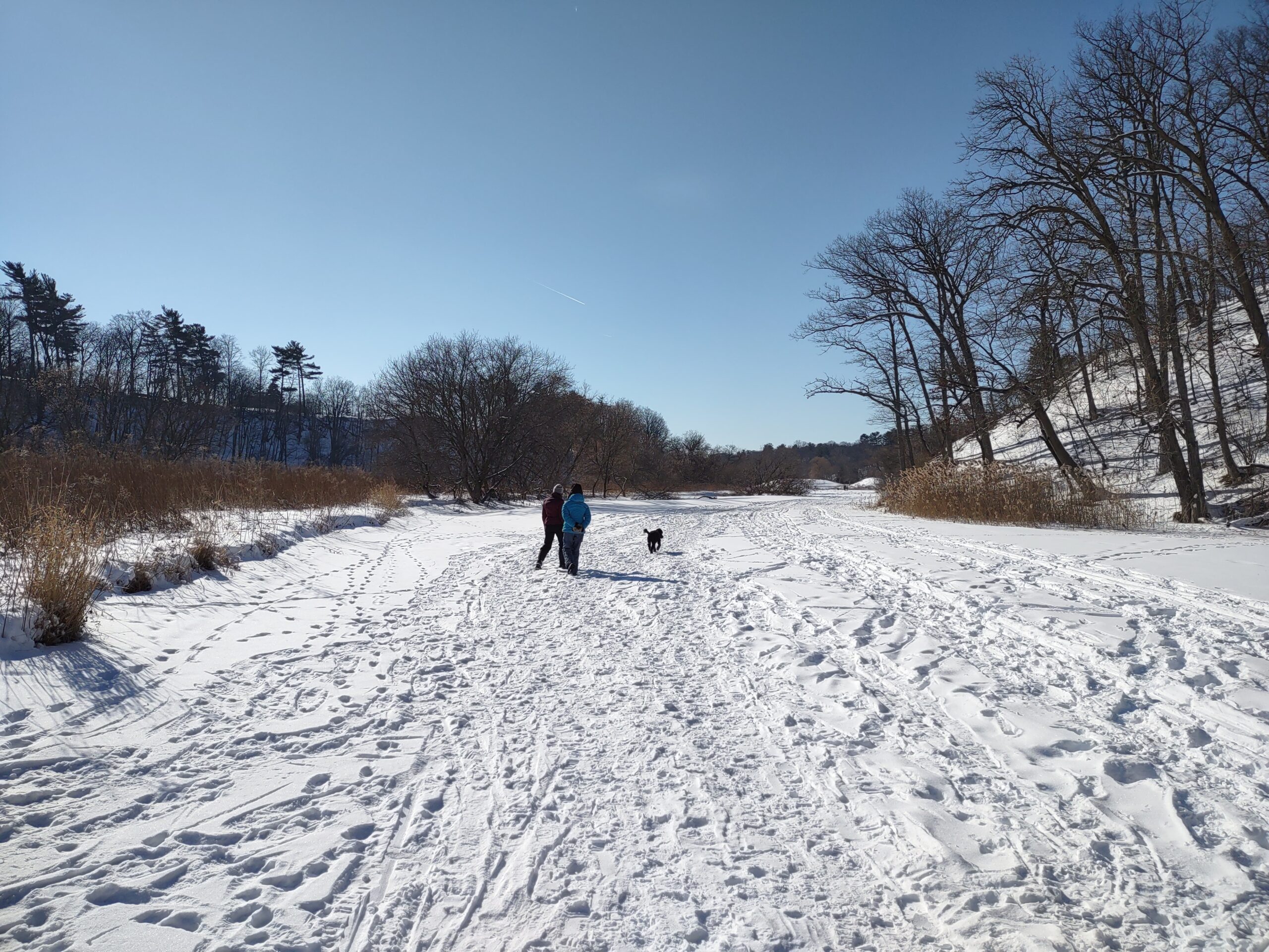
The name Mississauga comes from the Anishinaabe word Misi-zaagiing, which means “Those at the Great River-mouth”. Join me for part 2 of my tribute to the Mississaugas as we move from the Humber to the Credit River, which was the site of the last settlement for the Mississaugas in the GTA, called the Credit Mission Village, from 1825 to 1847. We will hike from Port Credit Go following the Credit River to the present day Mississauga Golf and Country Club where the Credit Mission Village once stood on 200 acres of land. After a short history talk we will loop back to Port Credit via Mississauga Road.Please pack a lunch and a Thermos of your favorite hot beverage. Remember that icers and sturdy hiking shoes or boots are mandatory for winter hiking. Poles are optional but can be of assistance on ice and snow.
Washrooms available only at Port Credit Go Station. We will stop for a bio break in nature before venturing on the golf course.