
Hike Schedule
Join us for a hike! Registration required.
All hikes available to BTC members. Some hikes are open to non-members.
See Refund Policy for Paid Hikes >
TIP: The calendar view displays up to 7 hikes on a day, but often there are more. Click “View more events” to see them all.
Categories
- 05January 5, 2025
Fundraiser/Stained Glass Badge End-to-End Series
https://hikesstaging.brucetrail.org/event/fundraiser-stained-glass-badge-end-to-end-series/Sorry, the registration cut-off time for this hike has been reached.Not a member? Click here to join today!This is a Multi-Day Hike
You are signing up for the following dates and times:
2025-01-05 at 08:30
2025-01-12 at 08:30
2025-01-19 at 08:30
2025-01-26 at 08:30
2025-02-02 at 08:30Hosting Club: Caledon Hills
Category: Cheltenham Badlands Stained Glass E2E Badge
Location (Google Maps): Meet at km 15.9, roadside parking along the southwest shoulder of Willoughby Road near Escarpment Sideroad intersection, 43.831244, -79.980588. (Map 15, Edition 31)Directions: From Hwy #10 head west on Escarpment Sideroad for approximately 1.5 km.
Hike Leader(s): Sandy Green and Lana Hubbard Click here to contact Hike Leader(s)
Pace: Medium – 3 to 4 km/hour
Terrain: Moderate – some hills and/or some poor footing
Distance: 16 kilometresDescription
Earn the Cheltenham Badlands Stained Glass/Fundraiser badge, which is part of the collectable Bruce Trail Clubs stained glass-themed fundraiser set. This five-hike end-to-end series takes place on Sundays in January and February. Hike distances range from 13 km to 16 km. Bring snacks and your choice of hydration. Icers/crampons are required. Participants take turns shuttling. Full hike details will be sent through the auto-response message.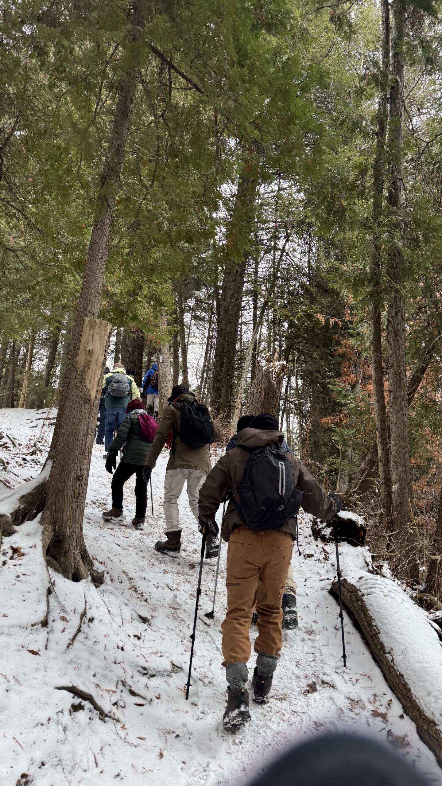
Car Hike: Exploring Uxbridge Trails (Wilder Forest, Walker Woods, and Glen Major Forest)
https://hikesstaging.brucetrail.org/event/car-hike-exploring-uxbridge-trails-wilder-forest-walker-woods-and-glen-major-forest-3/Sorry, the registration cut-off time for this hike has been reached.Not a member? Click here to join today!Hosting Club: Toronto, Peninsula
Location (Google Maps):
2499 Brock Rd, Uxbridge, ON L9P 1R4. We will meet at the East Duffins Headwaters parking lot at the WILDER FOREST trail head. As soon as you got off the Brock Road, passing the horse back riding facility, there is a free designated parking lot 70 meters down the lane to your right. It includes a sign board for East Duffins Headwaters with a map of the trails. Please do not park on the lane or in the horse back riding property.
Hike Leader(s): Amir Alemohammad Click here to contact Hike Leader(s)
Pace: Moderate (3-4 km/hr)
Terrain: Hilly, Level 2 (Intermediate – some hills and uneven surfaces, rocks and roots underfoot), Variable
Distance: Approx.12-14 KmDescription
Join us for a delightful winter hike in Uxbridge, as we explore Wilder Forest, Walker Woods, and Glen Major Forest on a scenic loop starting from Brock Road. We’ll pass Concession Road 6, heading west and back, while also venturing onto several side trails for even more stunning views.What to Expect:
•Beautiful scenic views and lookouts facing south
•A mix of hilly and flat terrain
•Frequent 2-minute breaks for hydration and photos, with a 10-20 minute lunch/snack stop
•Stay on designated trails at all times
What to Bring and Wear:
•Winter boots and icers (mandatory)
•Hiking poles (recommended)
•At least 2 liters of water
•Your favorite snacks and lunch (pack your own refreshments for an outdoor meal)
•Dress in layers for variable weather; cold and windy conditions are likely
Important Details:
•Stay on the designated trails
•Be prepared for the elements and enjoy the adventure!
Looking forward to seeing you on the trail!
Don’t forget your camera and a smile as we explore the beauty of the Uxbridge trails!
Car Hike: Iroquoia Winter E2E 6/6
https://hikesstaging.brucetrail.org/event/car-hike-iroquoia-winter-e2e-6-6-2/Sorry, the registration cut-off time for this hike has been reached.Not a member? Click here to join today!Hike open to BTC Members only.
Hosting Club: Toronto
Category: Car Hike
Location (Google Maps):Twiss rd at #8. N 43.429065,W 79.927324
Hike Leader(s): Smadar Junkin Click here to contact Hike Leader(s)
Pace: Brisk (4-5 km/hr)
Terrain: Level 2 (Intermediate – some hills and uneven surfaces, rocks and roots underfoot)
Distance: 17 kmDescription
Last hike, badge day! We will car shuttle to Glen Eden, we will walk to highway 401 bridge and back ( about 0.5 km extra). Glen Eden is a paid parking. I’ll have details closer to the hike day. If anyone has a parking pass please let me know. Everyone is expected to share in the paring cost. Hike is about 7 km shorter than indicated on the map because of winter closure for hiking in the ski area. Bring icers, snowshoes and 2litres of water. Date may change due to extreme winter conditions.10:00 Decew to Morningstar Mill
https://hikesstaging.brucetrail.org/event/1000-decew-to-morningstar-mill-4/Sorry, the registration cut-off time for this hike has been reached.Not a member? Click here to join today!Hosting Club: Niagara
Category: In and Out
Location (Google Maps): Decew House St CatharinesHike Leader(s): Sylvia Wheeler Click here to contact Hike Leader(s)
Terrain: Moderate
Distance: 5kDescription
Hike the main trail from Decew House, along the edge of Lake Moodie and on to Morningstar Mill