
Hike Schedule
Join us for a hike! Registration required.
All hikes available to BTC members. Some hikes are open to non-members.
See Refund Policy for Paid Hikes >
TIP: The calendar view displays up to 7 hikes on a day, but often there are more. Click “View more events” to see them all.
Categories
- 07September 7, 2024
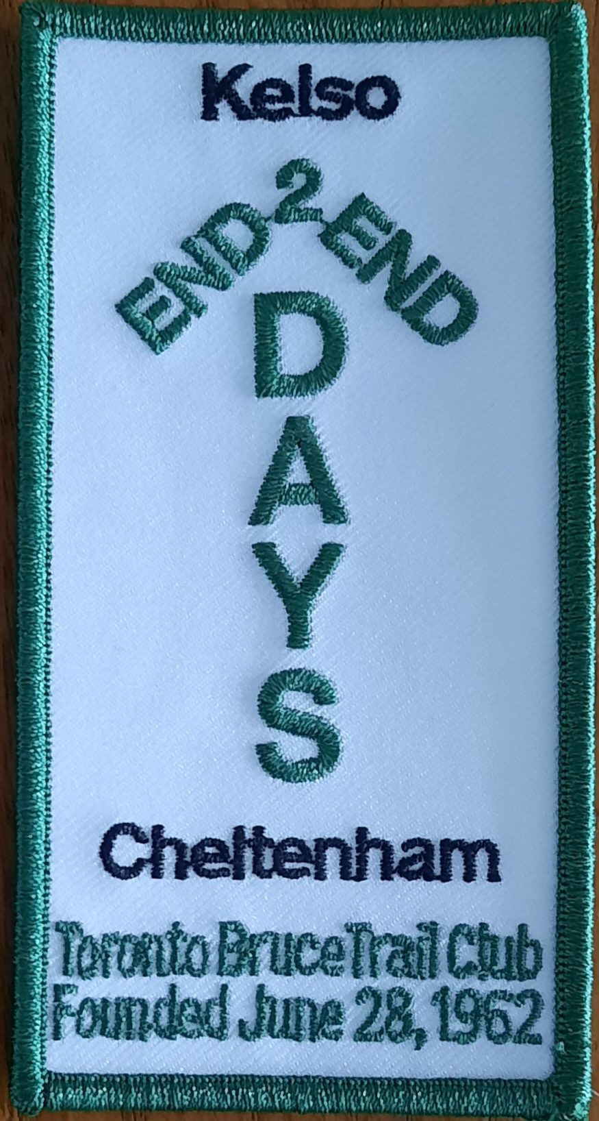
TBTC Annual 2 Day End-to-End
https://hikesstaging.brucetrail.org/event/tbtc-annual-2-day-end-to-end-2/Sorry, the registration cut-off time for this hike has been reached.Not a member? Click here to join today!This is a Multi-Day Hike
You are signing up for the following dates and times:
2024-09-07 at 07:30
2024-09-08 at 07:30Hosting Club: Toronto
Category: Annual TBTC E2E
Location (Google Maps):Limehouse
Hike Leader(s): Jacquie Van Dyke Click here to contact Hike Leader(s)
Pace: Brisk
Terrain: Rocky, Variable
Distance: Saturday’s hike is approximately 28km. Sunday’s hike is approximately 22km.Description
Plan to hike the Toronto section in late summer over two days.
On Saturday, the bus will take participants to the north end of the Toronto section. Hikers will then hike south to Limehouse – a distance of approximately of 28kms.
On Sunday, the bus will take participants south to Campbellville Rd and Appleby Line where hikers will hike north to Limehouse – a distance of approximately 22kms.There will be checkpoints along the way where light snacks and water will be available. Those who complete the distances on both days will be receive the special Club E2E badge.
Registration cost for members is $50. Refunds will not be issued. Attendance is limited to 100 (two buses). Registration for members begins at 8:30 am and if spots are still available at 8:00 pm on June 17, registration will also be opened for non-members at a cost of $60 each. The fee covers: bus transportation each morning from the hike end location to the hike start, a badge, parking permits, 1 or 2 checkpoints each day. You will hike on your own without a hike leader. Complete details will be provided in early August. For questions, contact Jacquie Van Dyke at vdyke0946@gmail.com
Letchworth State Park, New York
https://hikesstaging.brucetrail.org/event/letchworth-state-park-new-york/Sorry, the registration cut-off time for this hike has been reached.Not a member? Click here to join today!Hosting Club: Niagara, Blue Mountains
Category: Car Pool
Location (Google Maps): Parking area at the corner of Lakeshore Rd and Beatrice St. Fort Erie, ONHike Leader(s): Marion Hanover Click here to contact Hike Leader(s)
Pace: Leisurely, Medium
Terrain: Moderate
Distance: 11 kmDescription
Letchworth State Park, renowned as the “Grand Canyon of the East,” is one of the most scenically magnificent areas in the eastern U.S. The Genesee River roars through the gorge over three major waterfalls between cliffs–as high as 600 feet in some places–surrounded by lush forests.We will drive 1.5 hour to the park in the minium amount of cars needed. Once we spot the cars we will hike The Gorge Trail on the lower part of the park, west of the Genesee River, enjoying all the beauty along the way.
After our hike we will go to a diner for late lunch/ early dinner.
Car Hike: Wilder Forest Uxbridge
https://hikesstaging.brucetrail.org/event/car-hike-wilder-forest-uxbridge-6/Sorry, the registration cut-off time for this hike has been reached.Not a member? Click here to join today!Hosting Club: Toronto
Category: Car Hike
Location (Google Maps): 2499 Brock Road, Uxbridge, ON there is a free parking when you enter the road off brock road beside Horse training facilityHike Leader(s): Mohammad Aghamiri Click here to contact Hike Leader(s)
Pace: Moderate (3-4 km/hr)
Terrain: Hilly, Level 2 (Intermediate – some hills and uneven surfaces, rocks and roots underfoot), Variable
Distance: 14-17 kmDescription
We will explore Wilder forest and the beautiful scenery of Uxbridge forests.Some safety procedures during the hike:
1-Hikers must stay between the leader and the sweep.
2-Hikers must advise the leader or the sweep if they wish to leave the group.
3- Hikers must follow the whistle instructions: 1 blast- stay where you are; 2 blasts come to the leader; 3 blasts – come to the leader quickly.
4-Hike leader may request volunteers to stop at trail intersections, they need to help hikers to the direction the group walk and wait till they see the sweep .
5-Hikers have to make sure they can see the persons behind and in front of them.

Bus Hike: Towns of Elora & Fergus
https://hikesstaging.brucetrail.org/event/bus-hike-towns-of-elora-fergus/Sorry, the registration cut-off time for this hike has been reached.Not a member? Click here to join today!Trip Information
Departure Time: 08:30
Return to City Time: 18:00
Departure Point: York Mills Bus PickupOptional Items
Hosting Club: Toronto
Category: Bus Hike
Location (Google Maps): Elora and Fergus, OntarioHike Leader(s): Celia Ho; Tom Swales Click here to contact Hike Leader(s)
Pace: Leisurely (2-3 km/hr), Moderate (3-4 km/hr)
Terrain: Flat
Distance: 16.17 kmDescription
Join us to visit the towns of Elora and Fergus of Wellington County, known as “Ontario’s most beautiful village”. (elorafergus.ca)We will walk along the Elora Cataract Trailway into the town of Elora to the Elora Gorge Lookout in Victoria Park.
Ample free time will be given to roam and wander the streets of Elora.
After free time, we will walk along the Trestle Bridge Trail to the Wellington County Museum and Archives where time will be given to visit the museum (general admission is by donation).
After the museum we will continue along the Trestle Bridge Trail into the town of Fergus, visiting Templin Gardens and Confederation Park along the way and end up in downtown Fergus where the Cogs and Clockwork – Fergus Steampunk Festival will be taking place. There will be a refreshment stop here before heading back to the bus.
Please refer to the route map: https://onthegomap.com/s/t2mhcn8e
Saturday Shorts: Hockley
https://hikesstaging.brucetrail.org/event/saturday-shorts-2/Sorry, the registration cut-off time for this hike has been reached.Not a member? Click here to join today!Hike open to BTC Members only.
Hosting Club: Caledon Hills
Category: General
Location (Google Maps): Meet at 9 am at the Parking Area, east of km 65.3, on 3rd Line, north of Hockley Road (10 cars). (Note: We are not meeting at the main parking area on Hockley Road. Go north on 3rd Line. The parking area is on the east side of the road.)Hike Leader(s): Elizabeth Ganong Click here to contact Hike Leader(s)
Pace: Medium – 3 to 4 km/hour
Terrain: Moderate – some hills and/or some poor footing, Strenuous – hilly with steep climbs and some poor footing
Distance: 4 kmDescription
Looking to get out on a Saturday but not give up your whole day? Saturday Shorts, a hiking series, will get you out in a small group on a short hike. This Saturday’s hike is a hilly challenge as we use side trails and the main trail to make a 4 km loop in the Hockley Valley Provincial Nature Reserve. Bring water and a snack, if desired. There will be a short break. No dogs please.Geology Hike Badge Hike #4/8
https://hikesstaging.brucetrail.org/event/geology-hike-badge-hike-4-8/Sorry, the registration cut-off time for this hike has been reached.Not a member? Click here to join today!Hosting Club: Blue Mountains
Category: Register online ONLY
Location (Google Maps): Hike meets in the parking lot behind Tim Hortons on First St. in Collingwood.Hike Leader(s): Annette Sandberg Click here to contact Hike Leader(s)
Pace: Medium – 3 to 4 km/hr
Terrain: Moderate – Some hills and/or some poor footing
Distance: 8.5 kmDescription
Fox Ridge and McClusky’s Rock: Badland at Stop 4 (Pages 72/73) Queenston Shale is the bottom-most layer of the Niagara Escarpment. Where vegetation is removed, the shale appears as a “badland”. The brick-red shale has long been excavated along the Niagara Escarpment to make bricks.10:00 Merrit island loop
https://hikesstaging.brucetrail.org/event/1000-merrit-island-loop-2/Sorry, the registration cut-off time for this hike has been reached.Not a member? Click here to join today!Hosting Club: Niagara
Category: Loop
Location (Google Maps): Merritt Island Parking lot near play ground.Hike Leader(s): Sylvia Wheeler Click here to contact Hike Leader(s)
Pace: Medium
Terrain: Easy
Distance: 11 kmDescription
A Picturesque hike along the banks of the Welland Canal