
Hike Schedule
Join us for a hike! Registration required.
All hikes available to BTC members. Some hikes are open to non-members.
See Refund Policy for Paid Hikes >
TIP: The calendar view displays up to 7 hikes on a day, but often there are more. Click “View more events” to see them all.
Categories
- 25August 25, 2024
Peninsula Blue Series: Cape Chin
https://hikesstaging.brucetrail.org/event/peninsula-blue-series-cape-chin/Sorry, the registration cut-off time for this hike has been reached.Not a member? Click here to join today!Hosting Club: Peninsula
Category: Peninsula Blue Series
Location (Google Maps): Otter Lake Side Trail Roadside Parking along the shoulder of Cape Chin North RoadHike Leader(s): Kathleen Stahlbaum Click here to contact Hike Leader(s)
Pace: Leisurely, Medium
Terrain: Moderate
Distance: 13.49 kmDescription
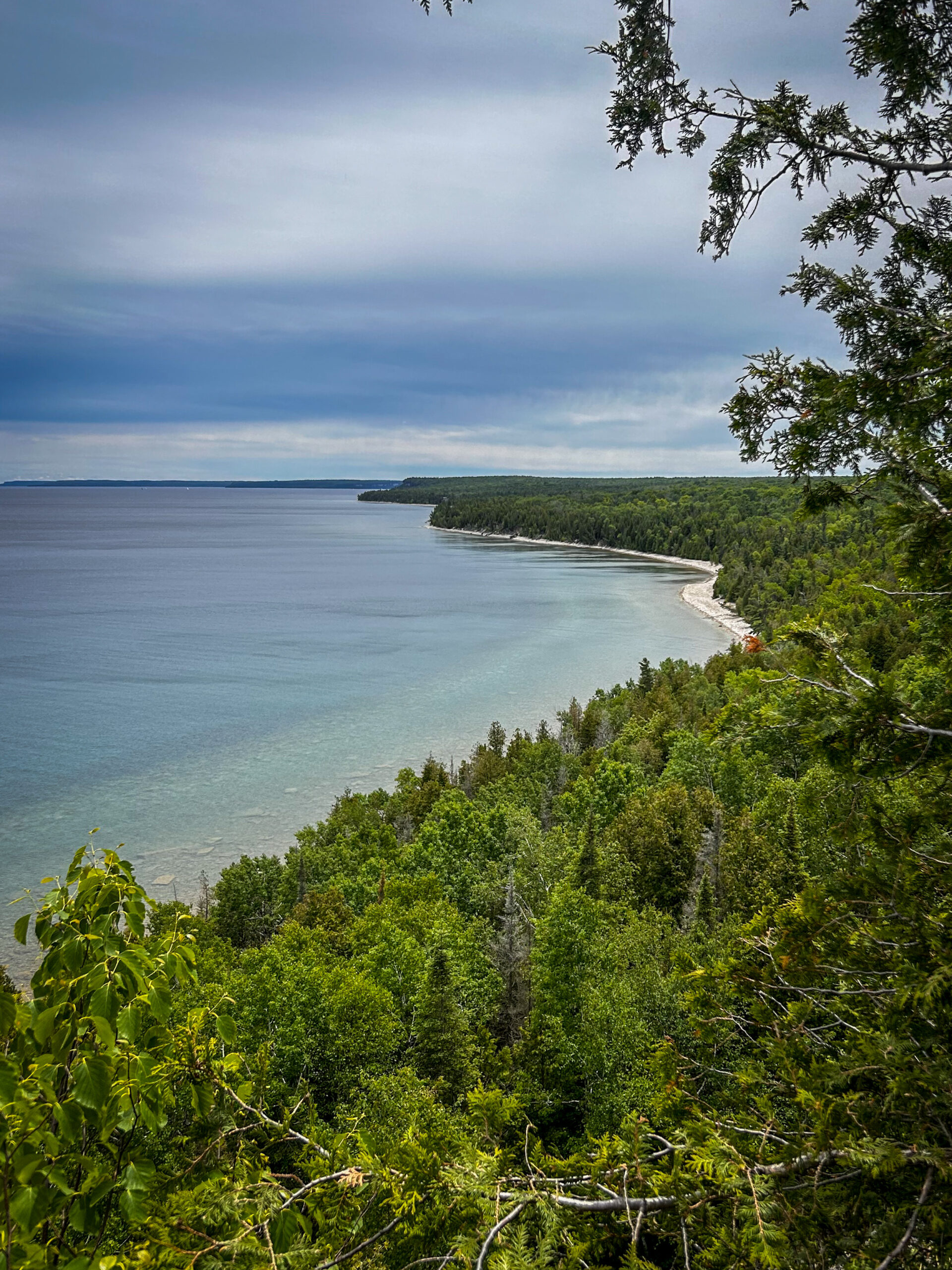
Join us in celebrating charming Cape Chin as we hike several side trails connecting Cape Chin North to Cape Chin South – Cape Chin Meadows Side Trail, Pat Daunt Side Trail, Bard Side Trail, and Otter Lake Side Trail – plus a few stretches of main trail.The hike will include a little bit of everything – rich coniferous forest and lush deciduous forest to beaver ponds, wetlands and marshy areas rich with flora and fauna, to the stunning views of the emerald and turquoise waters of Georgian Bay from the top of the towering white cliffs of the Niagara Escarpment. And of course, it wouldn’t be a proper Cape Chin visit without spending some time snacking on the steps of the beautiful MapleCross mansion at BTC’s MapleCross Nature Preserve.
Be prepared for rocky and slippery conditions (especially around Otter Lake)! Hiking poles are helpful and rain gear may come in handy. Pace will be leisurely to moderate and adjusted for slippery conditions, if needed. Bring plenty of water for hydration, plus a light lunch and a snack or two to keep you nourished throughout our ~6 hour adventure!
Urban Walk; Markham Hike and Splash
https://hikesstaging.brucetrail.org/event/urban-walk-markham-hike-and-splash/Sorry, the registration cut-off time for this hike has been reached.Not a member? Click here to join today!Hosting Club: Toronto
Category: Urban Walk
Location (Google Maps): Finch Go Bus Terminal, Platform 2Hike Leader(s): Leonora Rochwerger Click here to contact Hike Leader(s)
Pace: Moderate
Terrain: Flat
Distance: 10 km (approx.)Description
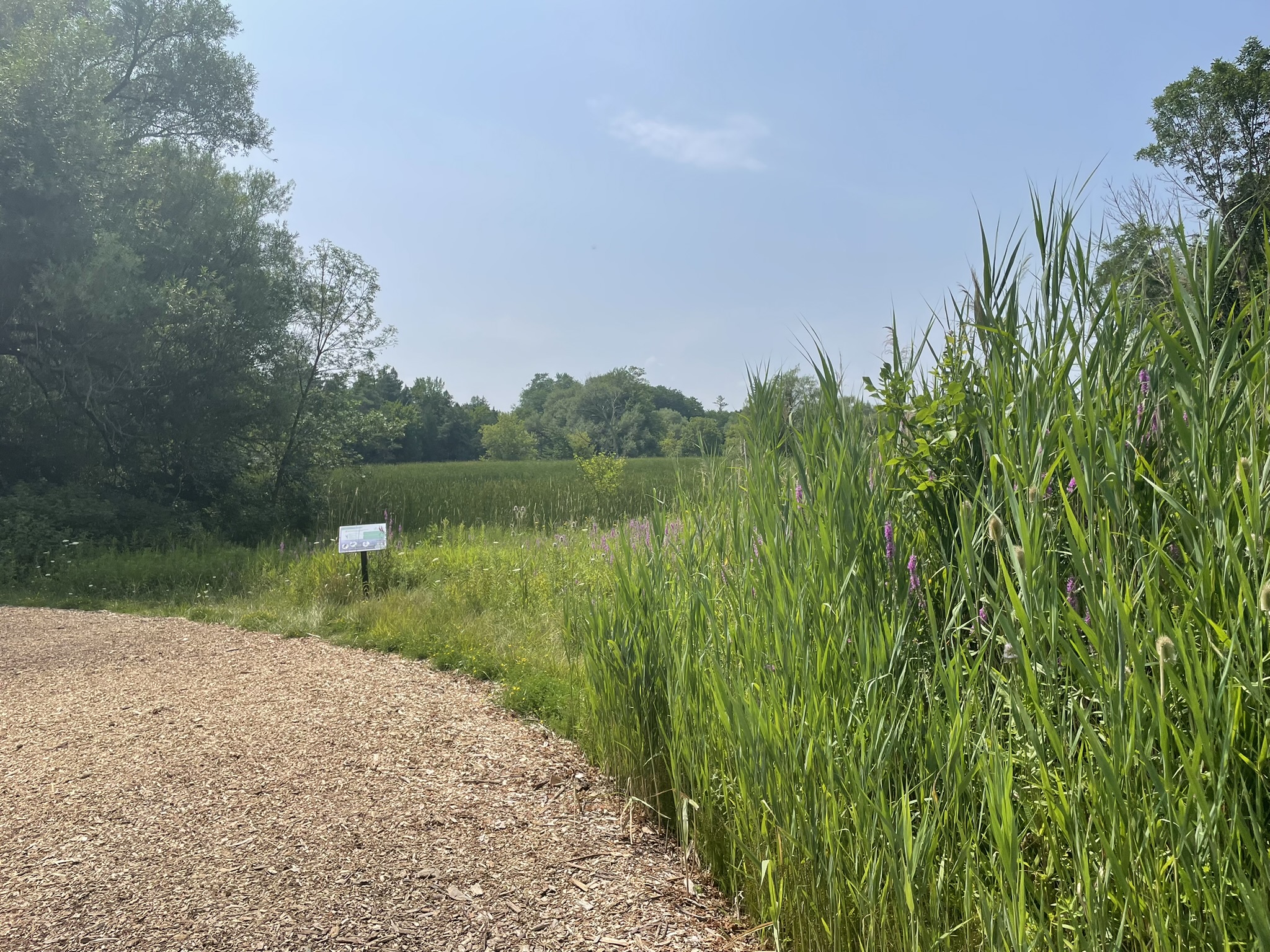
Join us for a 10 km hike along the Rouge River, through sections of Austin Park and Milne Dam Conservation Park, and ending with a post-hike splash (optional- for those interested) at the Morgan Outdoor Pool in Markham Village.Route map: https://onthegomap.com/s/mfi28ji6
How to get there and get home: We will meet as a group no later than 09:30 at the Finch Go Bus Terminal, Platform 2 outside the TTC Finch Station. From there, we will use YRT public transport to get to our hiking starting point.
If you are driving, meet us at the Stiver Mill Community Centre at 9 Station Ln, Markham, at approximately 10:45 am. There is free parking. Please contact the hike leader for precise meeting instructions.
To go back, we will use YRT public transport buses to get to our starting points (either parking or TTC Finch Station). Alternatively, GO trains go from Markham Village GO Station to Union station.
What to bring: Proper walking /hiking shoes, at least 2 litres of water, sunscreen, hat, bug repellent if used and a packed lunch. Appropriate clothing for the weather. No dogs allowed
If going swimming, bring a swimming suit and towel. There is a fee of $4.60 + tax to enter the pool. Change rooms and showers are available. You will need to bring your own lock for a locker. For more information about the Morgan Pool visit: https://www.markham.ca/wps/portal/home/recreation/community-fitness-centres/morgan-outdoor-pool/morgan-pool

Car Hike: Hike #8 to earn the Dufferin Hi-Land Youth and/or Side Trails Badge!
https://hikesstaging.brucetrail.org/event/car-hike-hike-8-to-earn-the-dufferin-hi-land-youth-and-or-side-trails-badge/Sorry, the registration cut-off time for this hike has been reached.Not a member? Click here to join today!Hosting Club: Toronto, Dufferin Hi-Land
Category: Car Hike
Location (Google Maps): We will meet at roadside parking on the west side of 2nd Line E, where the road ends a little north of 8 Sideroad (Map 20 of the Bruce Trail Reference Guide, Edition 31).Hike Leader(s): Monica Pasquali Click here to contact Hike Leader(s)
Pace: Leisurely (2-3 km/hr)
Terrain: Variable
Distance: 7.4 kmDescription
Calling all families with children who love hiking and earning badges!!!This is the eighth in a series of ten hikes that will be offered throughout 2024 on a roughly monthly basis so that children who are 15 years of age and younger can earn the Dufferin Hi-Land Adventurer Youth Badge and their parents/guardians can earn the Dufferin Hi-Land Side Trails Badge at the same time!!! Details regarding the requirements for each badge can be found here: https://dufferinbrucetrailclub.org/dufferin-bruce-trail-club-badges/ Each of the ten hikes will be a loop hike so no car shuttles will be needed, and each hike will cover a distance of approximately 6-9 km hiked at a leisurely pace (2-3 km/h) so children and adults alike can participate.
This eighth hike will be a summer hike to explore the following four side trails: 2nd Line ECL, part of the Oliver Creek ST, the Boyne Creek ST, and the Mulmur Lookout ST. Please dress appropriately for a summer hike by dressing in lightweight and breathable clothing, wearing a sunhat, and wearing comfortable footwear that has good traction. It is also advised that you bring sunscreen, bug spray, a light sweater, and suitable rain apparel in case conditions require their use. As well, make sure you bring enough water and food for a 3-4 hour hike since we’ll be covering a total distance of approximately 7.4 km.
Hopefully you’ll be able to join me on Sunday, August 25th! Until then, happy hiking, everyone!
Urban Walk: Bluffers Park
https://hikesstaging.brucetrail.org/event/urban-walk-bluffers-park-2/Sorry, the registration cut-off time for this hike has been reached.Not a member? Click here to join today!Hosting Club: Toronto
Category: Urban Walk
Location (Google Maps): Toronto, OntarioHike Leader(s): Brian Rideout Click here to contact Hike Leader(s)
Pace: Moderate
Terrain: Flat
Distance: 6.9 kmDescription
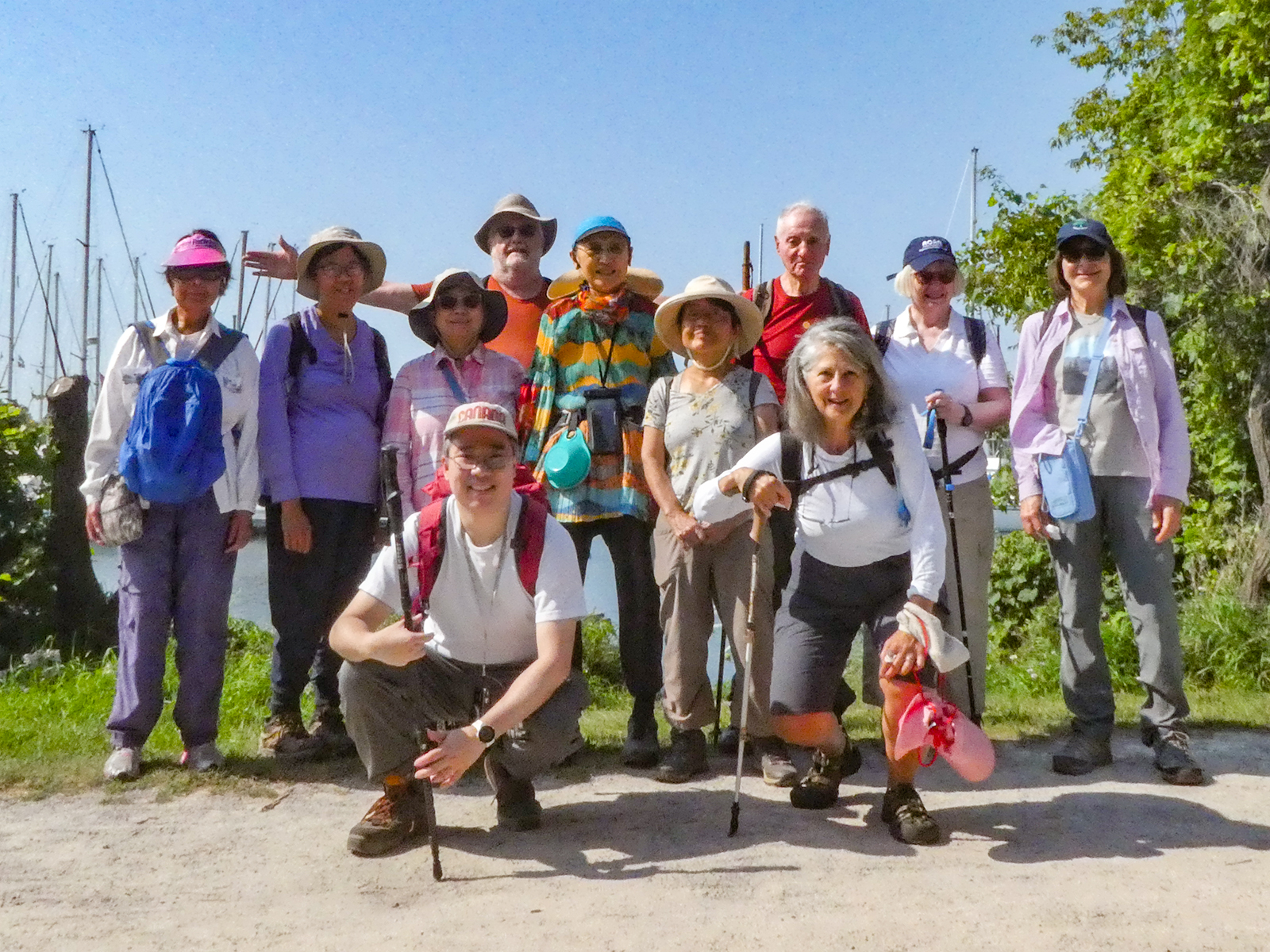
Please join me at Kennedy Station on the bus platform by 9:45 am. We will take the 201 Bluffers Park bus departing 10:00 am, arriving 10:22 am. We will wander the trails of bluffers park for an estimated distance of 6.9 km. Pub stop is at the Dogfish Pub & Eatery in the park.Please bring at least 2 liters of water, a light snack, bug spray and sunscreen.
Here is an online map of our route. Bluffers Park
Note: Registration closes 48 hours before the start of the hike.
- 26August 26, 2024
Waterdown Out and Back - rescheduled from June 23
https://hikesstaging.brucetrail.org/event/waterdown-out-and-back/Sorry, the registration cut-off time for this hike has been reached.Not a member? Click here to join today!Hosting Club: Iroquoia
Category: General Hike
Location (Google Maps): Off Road Parking King RoadHike Leader(s): Pati Greenwood, Jeff Dowsett Click here to contact Hike Leader(s)
Pace: Medium – 3 to 4 km/hr
Terrain: Moderate – Some hills and/or some poor footing
Distance: 12 kmDescription
We will follow the BT main trail from King Road to Snake Road and make out back back, taking in the McNally Side Trail on the way back.Bring plenty of water and snacks. We will take regular hydration and snack breaks along the way. Insect repellent is recommended.
Please arrive at 8:15 am as we will leave promptly at 8:30 am.
Mushroom Hunt
https://hikesstaging.brucetrail.org/event/mushroom-hunt/Sorry, the registration cut-off time for this hike has been reached.Not a member? Click here to join today!Hosting Club: Peninsula
Category: Botany Hike
Location (Google Maps): Parking lot at the junction of Malcolm Bluff Side Trail and Purple Valley Access Trail [44.836895, -81.053576]Hike Leader(s): Barbara Reuber Click here to contact Hike Leader(s)
Pace: Leisurely
Terrain: Moderate
Distance: 1 – 2 kmDescription
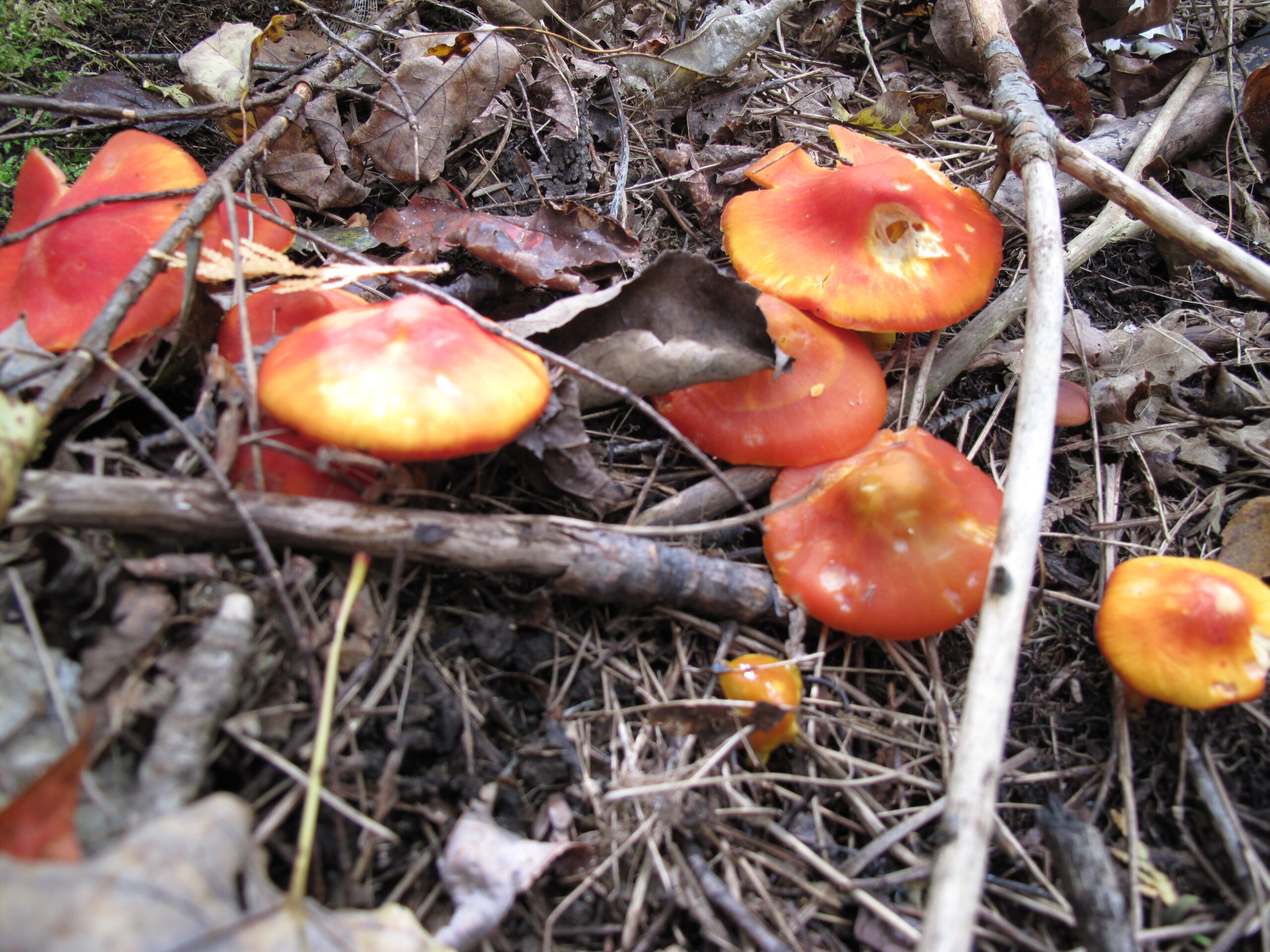
Join mushroom expert and nature writer Jan Thornhill (http://weirdandwonderfulwildmushrooms.blogspot.ca and many children books) as we explore the amazing variety of fungi that can be found on the Bruce Peninsula. We will take the Purple Valley access trail to the main trail and explore the woods along the escarpment. We won’t be covering much ground – this is more of an in-depth look at the biodiversity of mushrooms and other fungi than a hike. It’s also a family-friendly event so you’re welcome to bring children. Since many of the most beautiful and interesting fungi are very small (Eyelash Cups! Turquoise Elfcups!), bring a hand lens, magnifying glass, or binoculars (which you can look through the wrong way to magnify!) if you have them.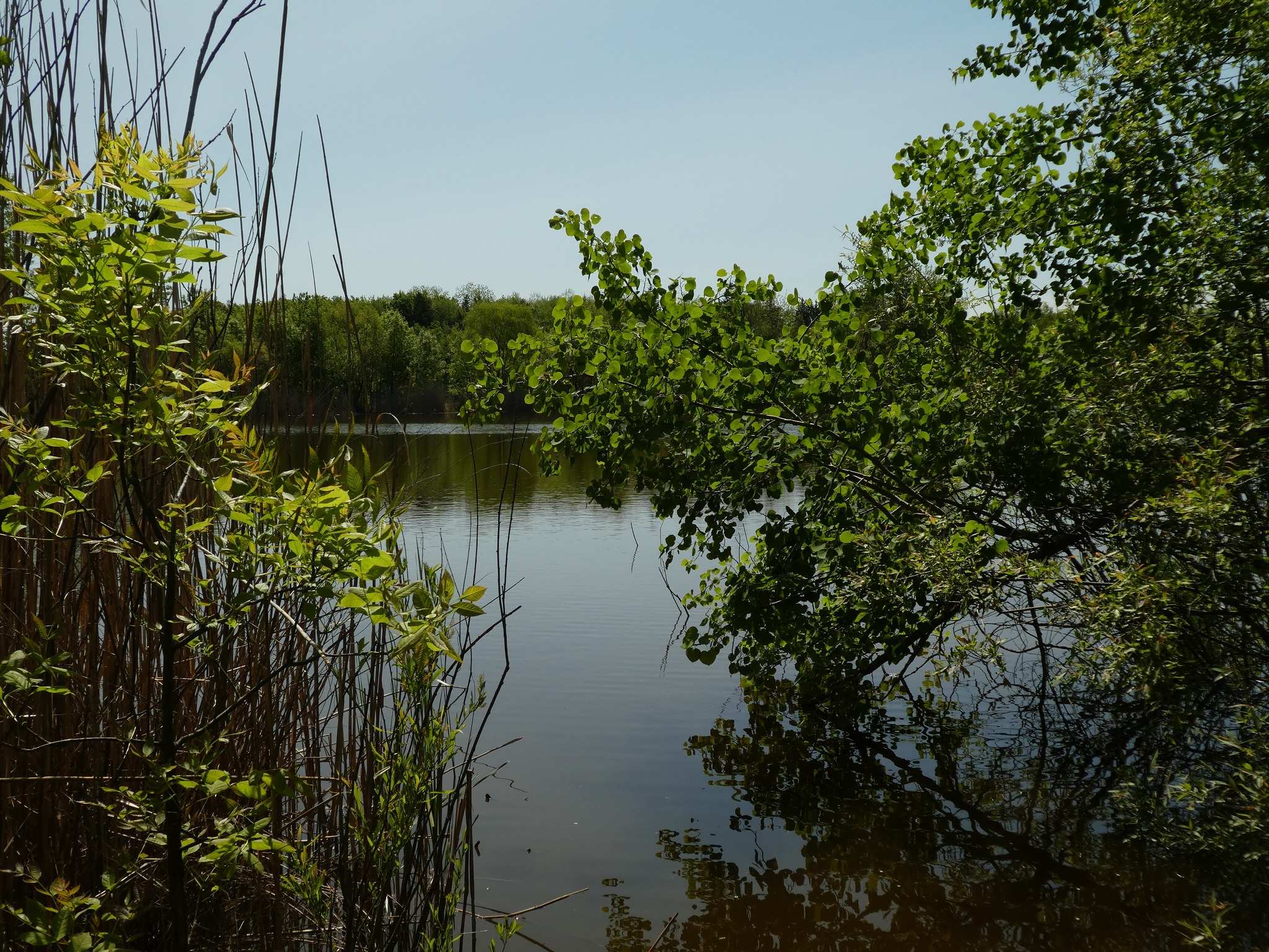
Afternoon Hike - Fisher's Pond
https://hikesstaging.brucetrail.org/event/fishers-pond-7/Sorry, the registration cut-off time for this hike has been reached.Not a member? Click here to join today!Hosting Club: Iroquoia
Category: Afternoon/Evening Hikes
Location (Google Maps): Meet roadside on Guelph Line, south of No 1 Sideroad.Hike Leader(s): Karen Bergmann Click here to contact Hike Leader(s)
Pace: Medium – 3 to 4 km/hr
Terrain: Moderate – Some hills and/or some poor footing
Distance: 6 kmsDescription
We will hike up the main trail from Guelph Line, around Fisher’s Pond on the side trail and back. There are a few hills that can be a bit strenuous. Bring bug spray/bug net. - 27August 27, 2024
8:00 Long Hike Wiley Road Short Hills
https://hikesstaging.brucetrail.org/event/800-long-hike-wiley-road-short-hills-51/Sorry, the registration cut-off time for this hike has been reached.Not a member? Click here to join today!Hosting Club: Niagara
Location (Google Maps):
Short Hills Wiley Road Entrance
Pace: Medium
Terrain: Moderate
: 10kmDescription
Explore Short Hills and the majestic side trails of Scarlett Tanager, Hemlock. Swayze Falls and Terrace. Register for each hikeBring Poles, Sunscreen, bug spray water, snack, and dress for the weather
9:15 Short hike - Pelham Road, Short Hills
https://hikesstaging.brucetrail.org/event/915-short-hike-pelham-road-short-hills-82/Sorry, the registration cut-off time for this hike has been reached.Not a member? Click here to join today!Hosting Club: Niagara
Location (Google Maps): Pelham Road Entrance, Short Hills Provincial Park
Hike Leader(s): janet davey Click here to contact Hike Leader(s)
Pace: Medium
Terrain: Moderate
Distance: 6 kmsDescription
Hike the main and side trails in Shorthills Provincial Park. Bring hiking boots, water, sunscreen and bug spray. Please help prevent the spread of invasive species by cleaning your boots following the hike. Please check yourself for ticks following the hike.60 for the 60th Anniversary Badge Hike Series - #7 of 10
https://hikesstaging.brucetrail.org/event/60-for-the-60th-anniversary-badge-hike-series-7-of-10/Sorry, the registration cut-off time for this hike has been reached.Not a member? Click here to join today!Hosting Club: Caledon Hills
Category: General
Location (Google Maps): Roadside parking along the southwest shoulder of the Willoughby Rd. and Escarpment Sideroad intersection; km 15.9, Map 15.Hike Leader(s): Joyce Redford 416-988-8753 Click here to contact Hike Leader(s)
Pace: Leisurely – 3 km/hour or less
Terrain: Moderate – some hills and/or some poor footing
Distance: 6 kmDescription
Join Joyce, Louise, and Marilyn on this 2 hour, 6 km hike which is the 7th in the series of hikes for the new “60 for the 60th Anniversary” badge. We will hike west toward Puckering Lane and back. Hike one, a few, or all 10 hikes. Join any hike and make up the rest on your own as long as a record is kept of their hikes to submit on completion to obtain their badge. Participants who complete all 10 hikes will be eligible to purchase the “60 for the 60th” badge.
Bring poles, and hydration.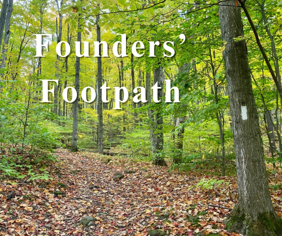
Founders’ Footpath Finalists “B & C”
https://hikesstaging.brucetrail.org/event/founders-footpath-finalists-b-c/Sorry, the registration cut-off time for this hike has been reached.Not a member? Click here to join today!Hosting Club: Caledon Hills
Category: General
Location (Google Maps): Finalist B: Park at BTC parking lot on the east side of the 5th Line EHS, just south of Hockley Road, 43.993572, -80.014057Driving Directions:
From ON-10 turn east onto Hockley Road/Dufferin County Road 7. Drive for 9.5 kilometres. Turn south/right onto 5 Line E/5th Line EHS. The parking lot is on the left in 100 metres.Finalist C: Park at BTC Parking Lot, 713377 1st Line EHS, Mono, 43.959916, -80.070494.
Driving Directions:
From the 5th Line EHS parking lot return to Hockley Road. Turn left and proceed to 3rd Line EHS. Turn left and continue to 5 Sideroad. Turn right onto Side Road 5 for 1.5 kilometres. Turn right onto 1st Line EHS for approximately 1 kilometre. Continue straight into the parking lot.Hike Leader(s): Sandy Green Click here to contact Hike Leader(s)
Pace: Medium – 3 to 4 km/hour
Terrain: Strenuous – hilly with steep climbs and some poor footing
Distance: 11.5 kmDescription
The Founders’ Footpath is a Bruce Trail Conservancy initiative to mark the upcoming 60th Anniversary of the founding of the Bruce Trail. Help the CHBTC select a section of the trail that best exemplifies the founders’ intentions. Explore Finalist B: Main Trail km 48.9 – 52.1, Hemlock Ridge Side Trail 0.61 km, and Glacier Valley Side Trail 0.58 km; Airport Road to 5th Line EHS Parking Lot; BTC Protected Areas: Cedar Highlands, Galbraith, and Hemlock Ridges. Once complete, the group will drive to Finalist C: Goodyear Memorial Side Trail 2.2 km, Rushing Rivers Side Trail 0.2 km, and Upland Side Trail 1.2 km; BTC Protected Areas: The Akela and Scouters Heather and Ross Hamlin at Riverside Woods Nature Reserve, and Rushing River Nature Reserve. Bring snacks and your choice of hydration. Sturdy footwear is highly recommended.These hikes can be logged towards earning the 60 for the 60th Anniversary badge.
Lindenwood Loops
https://hikesstaging.brucetrail.org/event/lindenwood-loops-3/Sorry, the registration cut-off time for this hike has been reached.Not a member? Click here to join today!Hosting Club: Sydenham
Category: General Hike
Location (Google Maps): The Owen Sound Galaxy Cinema parking lot. Meet at the tall “Galaxy Centre” sign next to the traffic lights.Hike Leader(s): Franziska Edney Click here to contact Hike Leader(s)
Pace: Medium: 3 to 4 km/h
Terrain: Moderate: Some hills and/or poor footing, Strenuous: Hilly with steep climbs and some poor footing.
Distance: 8.7 kmsDescription
We will carpool to Lindenwood Road. From there our hike goes along the white trail south to the Gap Side Trail. From there we will take the blue side trails north to the Lindenwood Pond and Lindenwood Side Trail. Part of our hike takes us through a hardwood forest, over an alvar and past a huge dolostone erratic. Bring water, poles are advised. Email the hike leader for more info. - 28August 28, 2024
Michiganders Arch, Devil's Monument and Cape Chin
https://hikesstaging.brucetrail.org/event/michiganders-arch-devils-monument-and-cape-chin/Sorry, the registration cut-off time for this hike has been reached.Not a member? Click here to join today!Hike open to BTC Members only.
Hosting Club: Sydenham
Category: General Hike
Location (Google Maps): For those driving from Owen Sound and area, we will meet at the Grey Bruce Tourist Information Office west of km 104.4. We will depart at 7:45 so please arrive at 7:30.
For those living on the penninsula, we are limited to parking spaces at km 98.4 so we will meet at km 113 in Dyers Bay. Please arrive at 9:00. We will depart for km 98.4 immediately upon our arrival from Owen SoundHike Leader(s): Sheri Hatcher Click here to contact Hike Leader(s)
Pace: Brisk: 4 to 5 km/h
Terrain: Strenuous: Hilly with steep climbs and some poor footing.
Distance: Approximately 15 kmDescription
This 15 km hike offers beautiful views of Georgian Bay but has some rocky, challenging sections. We will car pool from the Grey Bruce Tourist Information Office to km 98.4 and then shuttle to km 113 in Dyers Bay. We will hike north to south because of parking limitations. We will pass by Michiganders Arch and the Devil’s Monument and continue south until we enter the MapleCross Nature reserve property at Cape Chin. This is the BTC’s largest single Nature Reserve and offers the most magnificent view points over Georgian Bay. From there we will continue south until we reach our cars.Because of the difficulty of this hike, experienced hikers only please.
Glen Huron-Keyhole-the Bluffs
https://hikesstaging.brucetrail.org/event/glen-huron-keyhole-the-bluffs-2/Sorry, the registration cut-off time for this hike has been reached.Not a member? Click here to join today!Hosting Club: Blue Mountains
Category: Register in person the morning of hike.
Location (Google Maps): Hike meets in the parking lot behind Tim Hortons on First St. in Collingwood.Hike Leader(s): David Little Click here to contact Hike Leader(s)
Pace: Medium – 3 to 4 km/hr
Terrain: Moderate – Some hills and/or some poor footing
Distance: 10 kmDescription
We will park in Glen Huron near Station St and begin hiking west on the Ganaraska Trail to meet up with the white blazed trail at km 26.0. From here we head south heading towards the Nottawasaga Bluffs Conservation Area. After exploring the Keyhole Side Trail, we will loop around and back to the cars via the white blazed trail and the Betty Carter Side Trail. Bring a snack or lunch and water. Parking: Concession 8 South and Station St.EASY DOES IT HIKE, Burkout Trail, from Centennial Park, Fenwick
https://hikesstaging.brucetrail.org/event/easy-does-it-hike-burkout-trail-from-centennial-park-fenwick/Sorry, the registration cut-off time for this hike has been reached.Not a member? Click here to join today!Hosting Club: Niagara
Category: Hike
Location (Google Maps): Centennial Park, Church St., Fenwick, OnHike Leader(s): Diane Marlatt Click here to contact Hike Leader(s)
Pace: Leisurely
Terrain: Easy
Distance: 4 KmDescription
WEDNESDAY WALKERS - Kimberley Forest
https://hikesstaging.brucetrail.org/event/wednesday-walkers-kimberley-forest-2/Sorry, the registration cut-off time for this hike has been reached.Not a member? Click here to join today!Hosting Club: Beaver Valley
Location (Google Maps): Park in the lower parking lot of the Beaver Valley Ski Club, near the Valley Crossover Side Trail. From there, a few vehicles will be needed to shuttle to our starting point on Sideroad 7A.
Hike Leader(s): Margaret Yaraskavitch Click here to contact the hike leader.
Pace: Medium
Terrain: Moderate, Some rocky footing, Some steep sections
Length of Hike: 5 kmDescription
After shuttling to Sideroad 7A, our hike begins as we walk through the BTC’s Kimberley Springs Nature Reserve, which includes beautiful Bill’s Creek. We also see the Stone Foundation Side Trail. After returning to the Main Trail, we then take the Kimberley Forest Side Trail. The Kimberley Forest is a beautiful multi-use and multi-trail area. Much of the walk is downhill as it finishes at the base of Beaver Valley Ski Club.11:00 am Hike & Picnic
https://hikesstaging.brucetrail.org/event/1100-am-hike-picnic-16/Sorry, the registration cut-off time for this hike has been reached.Not a member? Click here to join today!Hike open to BTC Members only.
Hosting Club: Niagara
Category: Loop
Location (Google Maps):Locust Grove Picnic Area
Hike Leader(s): Marion Hanover Click here to contact Hike Leader(s)
Pace: Medium
Terrain: Moderate
Distance: 7 kmDescription
Hike around Queenston area. Optional outdoor gathering in Locust Grove including pot luck picnic after the hike. - 29August 29, 2024
8:00 am Long Hike Jordan to Moyer / Louth
https://hikesstaging.brucetrail.org/event/800-am-long-hike-jordan-to-moyer-louth-77/Sorry, the registration cut-off time for this hike has been reached.Not a member? Click here to join today!Hosting Club: Niagara
Location (Google Maps):
Jordan Hollow Park 3039 King St Jordan
Pace: Medium
Terrain: Moderate
: 10kDescription
From Jordan Hollow Hike the main trail to Upper and Lower Balls Falls, Moyer Road or Louth and Return. You must register for each hike. Bring Poles, sunscreen, bug spray , snack and a drink and dress for the weather
Walk and Talk Rocks
https://hikesstaging.brucetrail.org/event/walk-and-talk-rocks/Sorry, the registration cut-off time for this hike has been reached.Not a member? Click here to join today!Hosting Club: Caledon Hills
Category: General
Location (Google Maps): Meet at 9 am at the parking lot at Mono Community Centre.Hike Leader(s): Elizabeth Ganong Click here to contact Hike Leader(s)
Pace: Leisurely – 3 km/hour or less
Terrain: Moderate – some hills and/or some poor footing
Distance: Approximately 9.5 kmDescription
Let’s rock it out and explore the geology of Mono Cliffs. We’ll hike mainly at a leisurely pace over the approximately 9.5 km route as we cover many of the highlights of Mono Cliffs Provincial Park. Dr. Kathy Wallace will provide an introductory-level look at the geology of the park that welcomes your curiosity. Plan on a lunch break at a spectacular look-out, a total time out just under 4 hours, and having your way of engaging with the trail expanded. This interactive hike was created for a small group, so we apologize in advance if there is more interest than spaces. In consideration of this, the hike may be repeated in September or October. No dogs please.9:15 Short hike - in and around Jordan
https://hikesstaging.brucetrail.org/event/915-short-hike-in-and-around-jordan-5/Sorry, the registration cut-off time for this hike has been reached.Not a member? Click here to join today!Hosting Club: Niagara
Location (Google Maps): Sho’arishon Park (formerly Jordan Hollow)
Hike Leader(s): Bill Russell Click here to contact Hike Leader(s)
Pace: Medium
Terrain: Moderate
Distance: 6kDescription
Hike the main and side trails around Jordan and Balls Falls. Bring hiking boots, water, sunscreen and bug spray. Please arrive 10 minutes prior to start of hike.Old Guelph Rd to York & back
https://hikesstaging.brucetrail.org/event/old-guelph-rd-to-york-back/Sorry, the registration cut-off time for this hike has been reached.Not a member? Click here to join today!Hike open to BTC Members only.
Hosting Club: Iroquoia
Category: Afternoon/Evening Hikes
Location (Google Maps): Old Guelph Rd. HamiltonHike Leader(s): Madeline Grady Click here to contact Hike Leader(s)
Pace: Medium – 3 to 4 km/hr
Terrain: Moderate – Some hills and/or some poor footing, Strenuous – Hilly with steep climbs and some poor footing
Distance: 8 kmDescription
This is 7 + km hike with some rocky climbs. We’ll follow the Main trail. Bring plenty of water. Poles and sturdy shoes/boots are recommended. - 30August 30, 2024

Loop Hike #4 - Hockley Crest
https://hikesstaging.brucetrail.org/event/loop-hike-4-hockley-crest/Sorry, the registration cut-off time for this hike has been reached.Not a member? Click here to join today!Hosting Club: Iroquoia, Caledon Hills
Category: General Hike
Location (Google Maps): Parking Lot on Mono 5 Sideroad, on the north side where the Trail crosses.Hike Leader(s): Pati Greenwood, Jeff Dowsett Click here to contact Hike Leader(s)
Pace: Medium – 3 to 4 km/hr
Terrain: Strenuous – Hilly with steep climbs and some poor footing
Distance: 14 KMDescription
We will follow the main BT and take in several side trails to make a 14 KM hike with several loops. There will be a few steep climbs. Bring plenty of water and a snack. Please arrive by 8:15 am as we will leave promptly at 8:30 am.
9:00 am Niagara on the Lake Tour & Some Yoga
https://hikesstaging.brucetrail.org/event/900-am-niagara-on-the-lake-tour-some-yoga-22/Sorry, the registration cut-off time for this hike has been reached.Not a member? Click here to join today!Hosting Club: Niagara
Location (Google Maps): Veteran’s Memorial Park, park just outside the park on King St.
Hike Leader(s): Robin Garrett Click here to contact Hike Leader(s)
Pace: Medium
Terrain: Easy
Distance: 6 kmDescription
Enjoy the benefits of pausing for a yoga practice as we tour through the trails, parkland and Historic Niagara-on-the-Lake. No mat required. Movement will focus on a flow of standing poses designed especially for hikers. Plan to stay for conversation and a warm cup of coffee or tea at Sweets & Swirls, Community Centre, Niagara Stone Road, NOTL. - 31August 31, 2024
Car Hike: Bethesda Trail Richmond Hill
https://hikesstaging.brucetrail.org/event/car-hike-bethesda-trail-richmond-hill-30/Sorry, the registration cut-off time for this hike has been reached.Not a member? Click here to join today!Hosting Club: Toronto
Location (Google Maps): Free parking lot at the head of trail Bethesda Side Road off Bayview Ave. across Wilcox lake
Hike Leader(s): Mohammad Aghamiri Click here to contact Hike Leader(s)
Pace: Moderate (3-4 km/hr)
Terrain: Hilly, Level 2 (Intermediate – some hills and uneven surfaces, rocks and roots underfoot)
Distance: 14-15 kmDescription
Join us to explore the trails of York Regional Forest and the Oak Ridges Corridor at Jefferson Forest and Bond lake,From parking lot we hike thought Jefferson forest and continue to Bond Lake and have snack beside the lake and return to parking around 13 to 13.30
Lana's Challenge Series: Hockley Valley Loop 1/3
https://hikesstaging.brucetrail.org/event/lanas-challenge-series-hockley-valley-loop/Sorry, the registration cut-off time for this hike has been reached.Not a member? Click here to join today!Hosting Club: Caledon Hills
Category: General
Location (Google Maps): Hockley Valley Nature Reserve, Map 18. To reach the meeting point, drive north on Hwy 10 from Orangeville and turn right onto Hockley Road. Continue approximately 5 km east until you see the parking area on your left, directly across the road from the Black Birch restaurant.Hike Leader(s): Dylan “Lana” Hubbard Click here to contact Hike Leader(s)
Pace: Brisk – 4 to 5 km/hour
Terrain: Strenuous – hilly with steep climbs and some poor footing
Distance: 25 kmDescription
Join us for an epic adventure through one of the hilliest sections of the Bruce Trail. We’ll park at Hockley Valley Provincial Park on Hockley Rd. and hike north, sticking to the main trail through the park. The route includes Dunby Rd., 3rd Line, and 15 Sideroad, leading us through the scenic Anderson Tract. Continuing south, we’ll return to Hockley Rd. and back to the parking lot via the main trail. This is a seriously difficult hike—be honest about your fitness level. No dropouts!We are committed to providing an inclusive and welcoming environment. This hike is an 2SLGBTQ+ safe space, and everyone is welcome to join us!
Please bring 3L of water, lunch, lots of snacks and smiles. 🙂
PS, this hike will happen rain or shine, and yes! this is a car hike! (no shuttling required)

Bus Hike: Crawford Lake
https://hikesstaging.brucetrail.org/event/bus-hike-crawford-lake/Sorry, the registration cut-off time for this hike has been reached.Not a member? Click here to join today!Trip Information
Departure Time: 08:30
Return to City Time: 17:00
Departure Point: Kipling Departure PointOptional Items
Hosting Club: Toronto
Category: Bus Hike
Location (Google Maps): Crawford LakeHike Leader(s): Tim Wainwright, George Lennon, Felix Wan Click here to contact Hike Leader(s)
Pace: Moderate (3-4 km/hr)
Terrain: Hilly, Other (Refer to Description)
Distance: 16.1 kmDescription
Our hike starts at the main Bruce Trail at Steeles and Appleby Rd, and continues through the Nassagaweya Canyon connecting Rattlesnake Point to the Crawford Lake Area. The area features majestic cliffs, rugged rock formations, and lush vegetation — a picturesque landscape that is ideal for nature lovers. Its cliffs provide a perfect habitat for turkey vultures to nest, and they can be seen circling overhead as our journey continues to Crawford Lake and its reconstructed 15th century Iroquoian village, where we’ll be stopping for lunch with time to explore the village if possible. Archaeological research has found 10,000 artifacts in the area. From there we’ll continue on the main trail to Kilbride School where the bus will be waiting for us. There will be a drop-out point at 12.6 km for anyone wishing to end the hike earlier.The bus will be leaving from Kipling subway station at 8:30 and the planned return is for 5:00.
Car Hike: East Point Park Bird Sanctuary, Scarborough, ON 150
https://hikesstaging.brucetrail.org/event/car-hike-east-point-park-bird-sanctuary-scarborough-on-150/Sorry, the registration cut-off time for this hike has been reached.Not a member? Click here to join today!Hosting Club: Toronto
Category: Urban Walk
Location (Google Maps): East Point Park Bird Sanctuary, Scarborough, ON
parking lot at the end of Beechgrove Dr.
There are different public transit routes to this parking lot please check transit maps/google mapHike Leader(s): Mohammad Aghamiri Click here to contact Hike Leader(s)
Pace: Moderate (3-4 km/hr)
Terrain: Level 1 (Easy – mostly on flat, well maintained trails with hard-packed surface), Variable
Distance: 14-17 kmDescription
We will hike along lake Ontario to Scarborough Bluffs.Please bring hiking poles, proper closing and shoes and lots of water,
Please carefully read safety procedures during the hike:
1-Hikers must stay between the leader and the sweep.
2-Hikers must advise the leader or the sweep if they wish to leave the group.
3- Hikers must follow the whistle instructions: 1 blast- stay where you are; 2 blasts come to the leader; 3 blasts – come to the leader quickly.
4-Hike leader may request volunteers to stop at trail intersections, they need to help hikers to the direction the group walk and wait till they see the sweep .
5-Hikers have to make sure they can see the persons behind and in front of
Port Weller, Waterfront Trail
https://hikesstaging.brucetrail.org/event/port-weller-waterfront-trail/Sorry, the registration cut-off time for this hike has been reached.Not a member? Click here to join today!Hosting Club: Niagara
Category: In and Out
Location (Google Maps): 142 Broadway Ave, St Catharines, OnHike Leader(s): Diane Marlatt Click here to contact Hike Leader(s)
Pace: Leisurely
Terrain: Easy
Distance: 6.5kmDescription
https://www.alltrails.com/trail/canada/ontario/port-weller-waterfront-trail
Urban Walk: Smokey Hollow, Waterdown
https://hikesstaging.brucetrail.org/event/urban-walk-smokey-hollow-waterdown/Sorry, the registration cut-off time for this hike has been reached.Not a member? Click here to join today!Hosting Club: Toronto
Category: Urban Walk
Location (Google Maps): Waterdown, OntarioHike Leader(s): Brian Rideout Click here to contact Hike Leader(s)
Pace: Moderate (3-4 km/hr)
Terrain: Variable
Distance: 12.4 kmDescription
Please join me under the clock in the Great Hall in Union Station by 8:45 am. We will take the Lakeshore West train to Adlershot GO departing at 9:03 am and arriving at 10:00 am. We will hike north into Waterdown, taking in Smoky Hollow Waterfall, where we will have lunch followed by an ice cream stop. This is a level 2 / level 3 hike.Here is a map of the route. Smoky Hollow, Waterdown
I recommend you purchase a GO one day pass online if you come on this hike. If you are driving, meet us at Aldershot GO by 10 am.
Please bring at least 2 liters of water (more is better plus electrolytes), a lunch, bug spray and sun screen.
As of August 25, 2024, this hike is not impacted by the rail strike at CN and CP. There is GO train service to Aldershot GO.
Note: Registration closes 48 hours before the start of the hike.