
Hike Schedule
Join us for a hike! Registration required.
All hikes available to BTC members. Some hikes are open to non-members.
See Refund Policy for Paid Hikes >
TIP: The calendar view displays up to 7 hikes on a day, but often there are more. Click “View more events” to see them all.
Categories
- 25August 25, 2024
Peninsula Blue Series: Cape Chin
https://hikesstaging.brucetrail.org/event/peninsula-blue-series-cape-chin/Sorry, the registration cut-off time for this hike has been reached.Not a member? Click here to join today!Hosting Club: Peninsula
Category: Peninsula Blue Series
Location (Google Maps): Otter Lake Side Trail Roadside Parking along the shoulder of Cape Chin North RoadHike Leader(s): Kathleen Stahlbaum Click here to contact Hike Leader(s)
Pace: Leisurely, Medium
Terrain: Moderate
Distance: 13.49 kmDescription
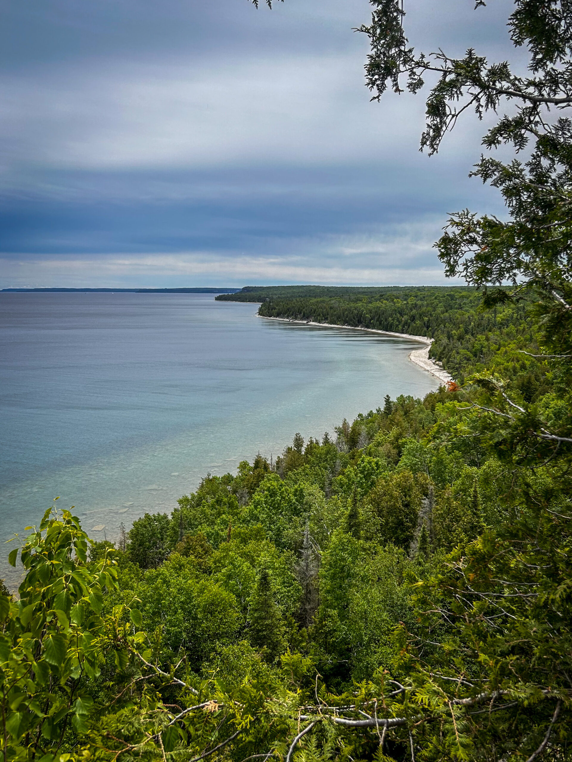
Join us in celebrating charming Cape Chin as we hike several side trails connecting Cape Chin North to Cape Chin South – Cape Chin Meadows Side Trail, Pat Daunt Side Trail, Bard Side Trail, and Otter Lake Side Trail – plus a few stretches of main trail.The hike will include a little bit of everything – rich coniferous forest and lush deciduous forest to beaver ponds, wetlands and marshy areas rich with flora and fauna, to the stunning views of the emerald and turquoise waters of Georgian Bay from the top of the towering white cliffs of the Niagara Escarpment. And of course, it wouldn’t be a proper Cape Chin visit without spending some time snacking on the steps of the beautiful MapleCross mansion at BTC’s MapleCross Nature Preserve.
Be prepared for rocky and slippery conditions (especially around Otter Lake)! Hiking poles are helpful and rain gear may come in handy. Pace will be leisurely to moderate and adjusted for slippery conditions, if needed. Bring plenty of water for hydration, plus a light lunch and a snack or two to keep you nourished throughout our ~6 hour adventure!
Urban Walk; Markham Hike and Splash
https://hikesstaging.brucetrail.org/event/urban-walk-markham-hike-and-splash/Sorry, the registration cut-off time for this hike has been reached.Not a member? Click here to join today!Hosting Club: Toronto
Category: Urban Walk
Location (Google Maps): Finch Go Bus Terminal, Platform 2Hike Leader(s): Leonora Rochwerger Click here to contact Hike Leader(s)
Pace: Moderate
Terrain: Flat
Distance: 10 km (approx.)Description
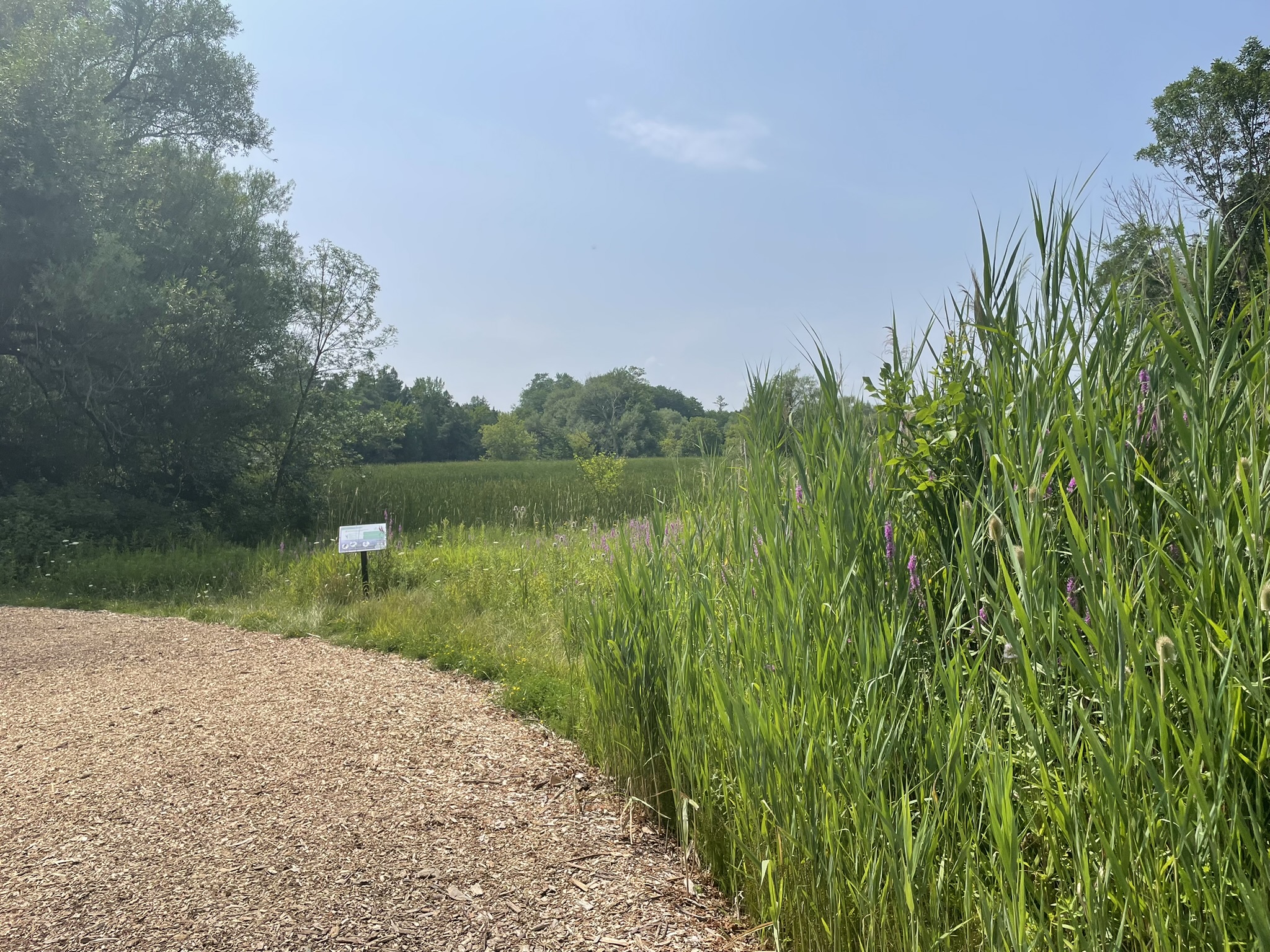
Join us for a 10 km hike along the Rouge River, through sections of Austin Park and Milne Dam Conservation Park, and ending with a post-hike splash (optional- for those interested) at the Morgan Outdoor Pool in Markham Village.Route map: https://onthegomap.com/s/mfi28ji6
How to get there and get home: We will meet as a group no later than 09:30 at the Finch Go Bus Terminal, Platform 2 outside the TTC Finch Station. From there, we will use YRT public transport to get to our hiking starting point.
If you are driving, meet us at the Stiver Mill Community Centre at 9 Station Ln, Markham, at approximately 10:45 am. There is free parking. Please contact the hike leader for precise meeting instructions.
To go back, we will use YRT public transport buses to get to our starting points (either parking or TTC Finch Station). Alternatively, GO trains go from Markham Village GO Station to Union station.
What to bring: Proper walking /hiking shoes, at least 2 litres of water, sunscreen, hat, bug repellent if used and a packed lunch. Appropriate clothing for the weather. No dogs allowed
If going swimming, bring a swimming suit and towel. There is a fee of $4.60 + tax to enter the pool. Change rooms and showers are available. You will need to bring your own lock for a locker. For more information about the Morgan Pool visit: https://www.markham.ca/wps/portal/home/recreation/community-fitness-centres/morgan-outdoor-pool/morgan-pool

Car Hike: Hike #8 to earn the Dufferin Hi-Land Youth and/or Side Trails Badge!
https://hikesstaging.brucetrail.org/event/car-hike-hike-8-to-earn-the-dufferin-hi-land-youth-and-or-side-trails-badge/Sorry, the registration cut-off time for this hike has been reached.Not a member? Click here to join today!Hosting Club: Toronto, Dufferin Hi-Land
Category: Car Hike
Location (Google Maps): We will meet at roadside parking on the west side of 2nd Line E, where the road ends a little north of 8 Sideroad (Map 20 of the Bruce Trail Reference Guide, Edition 31).Hike Leader(s): Monica Pasquali Click here to contact Hike Leader(s)
Pace: Leisurely (2-3 km/hr)
Terrain: Variable
Distance: 7.4 kmDescription
Calling all families with children who love hiking and earning badges!!!This is the eighth in a series of ten hikes that will be offered throughout 2024 on a roughly monthly basis so that children who are 15 years of age and younger can earn the Dufferin Hi-Land Adventurer Youth Badge and their parents/guardians can earn the Dufferin Hi-Land Side Trails Badge at the same time!!! Details regarding the requirements for each badge can be found here: https://dufferinbrucetrailclub.org/dufferin-bruce-trail-club-badges/ Each of the ten hikes will be a loop hike so no car shuttles will be needed, and each hike will cover a distance of approximately 6-9 km hiked at a leisurely pace (2-3 km/h) so children and adults alike can participate.
This eighth hike will be a summer hike to explore the following four side trails: 2nd Line ECL, part of the Oliver Creek ST, the Boyne Creek ST, and the Mulmur Lookout ST. Please dress appropriately for a summer hike by dressing in lightweight and breathable clothing, wearing a sunhat, and wearing comfortable footwear that has good traction. It is also advised that you bring sunscreen, bug spray, a light sweater, and suitable rain apparel in case conditions require their use. As well, make sure you bring enough water and food for a 3-4 hour hike since we’ll be covering a total distance of approximately 7.4 km.
Hopefully you’ll be able to join me on Sunday, August 25th! Until then, happy hiking, everyone!
Urban Walk: Bluffers Park
https://hikesstaging.brucetrail.org/event/urban-walk-bluffers-park-2/Sorry, the registration cut-off time for this hike has been reached.Not a member? Click here to join today!Hosting Club: Toronto
Category: Urban Walk
Location (Google Maps): Toronto, OntarioHike Leader(s): Brian Rideout Click here to contact Hike Leader(s)
Pace: Moderate
Terrain: Flat
Distance: 6.9 kmDescription
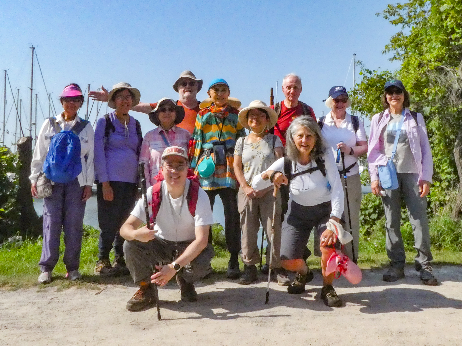
Please join me at Kennedy Station on the bus platform by 9:45 am. We will take the 201 Bluffers Park bus departing 10:00 am, arriving 10:22 am. We will wander the trails of bluffers park for an estimated distance of 6.9 km. Pub stop is at the Dogfish Pub & Eatery in the park.Please bring at least 2 liters of water, a light snack, bug spray and sunscreen.
Here is an online map of our route. Bluffers Park
Note: Registration closes 48 hours before the start of the hike.