
Hike Schedule
Join us for a hike! Registration required.
All hikes available to BTC members. Some hikes are open to non-members.
See Refund Policy for Paid Hikes >
TIP: The calendar view displays up to 7 hikes on a day, but often there are more. Click “View more events” to see them all.
Categories
- 23August 23, 2024
Loop Hike #3 - Hilton Falls Conservation Area
https://hikesstaging.brucetrail.org/event/hilton-falls-conservation-area-5/Sorry, the registration cut-off time for this hike has been reached.Not a member? Click here to join today!Hosting Club: Iroquoia
Category: General Hike
Location (Google Maps):Hilton Falls Conservation Area Parking Lot
Hike Leader(s): Pati Greenwood, Jeff Dowsett Click here to contact Hike Leader(s)
Pace: Medium – 3 to 4 km/hr
Terrain: Moderate – Some hills and/or some poor footing
Distance: 12 kmDescription
We will hike through Hilton Falls Conservation Area on the Hilton Falls Side Trail and Conservation Area trails. Bring water and snacks. Wear clothing and footwear appropriate to weather conditions. Insect repellent is recommended.Park in Hilton Falls Conservation Area parking lot, accessible from Campbellville Road. Reservations are required. For further information see Conservation Halton web site: https://www.conservationhalton.ca/parks/hilton-falls/
Please arrive by 8:15 am as we will depart promptly at 8:30 am.

Niagara-on-the-Lake Toura
https://hikesstaging.brucetrail.org/event/niagara-on-the-lake-toura/Sorry, the registration cut-off time for this hike has been reached.Not a member? Click here to join today!Hosting Club: Niagara
Category: Urban
Location (Google Maps): Meet on King St near Centre St just outside of Veterans Memorial Park, Niagara-on-the-LakeHike Leader(s): Margaret Northfield Click here to contact Hike Leader(s)
Pace: Medium
Terrain: Easy
Distance: 6-7kmDescription
Each Friday we will explore different neighbourhoods, trails and parkland throughout Historic Niagara-on-the-Lake.Moderate pace with some weeks entirely on sidewalks and roads while others may include a mix of trails and paved pathways. Great way to build up endurance for longer more strenuous hikes.
Prepare for cooler windy conditions on open parkland and along Lake Ontario and Niagara River trails.
Plan to stay for conversation and a warm cup of coffee or tea at Sweets & Swirls, Community Centre, Niagara Stone Road, NOTL
Robin & Margaret

Peninsula Blue Series - Rural Rocks & Obese Side Trail
https://hikesstaging.brucetrail.org/event/peninsula-blue-series-rural-rocks-obese-side-trail/Sorry, the registration cut-off time for this hike has been reached.Not a member? Click here to join today!Hosting Club: Peninsula
Category: Peninsula Blue Series
Location (Google Maps): Meet up at Colpoy’s Bay Government Dock Parking Lot, off Bruce Road 9 . We will carpool a short distance to Rural Rootz Nature Reserve. Map 35 (Bruce Trail Reference Guide 30th Edition)Hike Leader(s): Margie Gloade Click here to contact Hike Leader(s)
Pace: Medium
Terrain: Moderate
Distance: 4.1 kmDescription
Working on your PBTC Blue Series? This Rural Rocks Side Trail loop is a hidden gem! Rural Rocks Side Trail, and its short Obese Side Trail, are part of only few Bruce trail sections not connected to the main trail. The side trails found here follow some difficult terrain – the section passing through cathedral type rock formations is very rugged. You also pass through patches of moss and fern, a maple-birch-balsam forest, and pass by an active beaver pond. Join Margie, a new PBTC new Hike Leader, on her first guided hike. Meet at Colpoy’s Bay Government Dock parking lot, off Bruce Road 9, at 9:00 a.m. We will carpool a short distance to the Rural Rootz Nature Reserve. Expect this hike to be approximately 2 hours. Bring a light backpack with plenty of water, snacks, insect repellent, sunscreen, hiking poles (optional). Wear a hat and sturdy footwear. - 24August 24, 2024
3 Rim-2-Rim's in One Day!
https://hikesstaging.brucetrail.org/event/hike-2-3r2rs-in-one-day/Sorry, the registration cut-off time for this hike has been reached.Not a member? Click here to join today!Hosting Club: Blue Mountains
Category: Register online ONLY
Location (Google Maps): See Hike DescriptionHike Leader(s): Hart Fischer Click here to contact Hike Leader(s)
Pace: Medium – 3 to 4 km/hr
Terrain: Strenuous – Hilly with steep climbs and some poor footing
Distance: 38 kmDescription
Please refer to the written description of the Spring/Summer/Fall Rim2Rim Badge on the BMBTC website.
All three RIM hikes MUST be completed on the same day. The 3R2Rs in a DAY Challenge badge will be red, orange and yellow to reflect the level of difficulty.
Currently, this hike badge is only available by registering on-line. The cost of the badge is $15 for members and $20 for non-members.
You must have a vehicle to drive yourself to each RIM.
You are encouraged to have a partner hiker with similar pace to complete the challenge as this will not be a traditional hike led by a leader, everyone’s pace differs. You MUST have a cell phone since there are no leaders/sweeps or drop out spots with volunteers. If you use the designated parking spots you will never be more than 6 kms away from your vehicle. You determine your rest stop frequency, and snack or meal needs as well as refreshments. You can decide what items to leave in the car (extra water and snacks) that don’t need to be carried for each “leg of the challenge”. You can plan to have lunch breaks at your car if desired. You must ensure you have plenty of water in your pack for each RIM.
As this hike requires a significant amount of driving from one RIM to the next, we have included an outline below of the approximate time involved. Car travel times [according to Google Maps] from Bruce Trail Parking on 33/34 Sideroad [44.428118, -80.276849] to Devil’s Glen Provincial Park parking [44.36161, -80.20824] = 14 min for 14 km Car travel times [according to Google Maps] from Devil’s Glen Provincial Park parking [44.36161, -80.20824] to Noisy River Nature Preserve parking [44.27499, -80.20731] =
12 min for 15 km
You and your partner should plan to set a pace between 4-6 km/hr
●Approximate time needed to finish about 40 km @ 6 km/hr = 6 hrs + 40 min + half an hour travel/resting/eating/drinking time = just over 7 hrs
●Approximate time needed to finish about 40 km @ 5 km/hr = 8 hrs + half an hour travel/resting/eating/drinking time = 8 and 1/2 hrs
●Approximate time needed to finish about 40 km @ 4 km/hr = 10 hrs + half an hour travel/resting/eating/drinking time = 10 and 1/2 hrs
(The distance as measured by GPS is actually closer to 38km)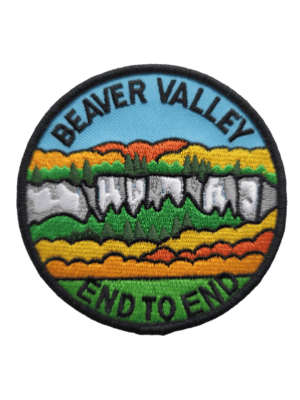
Beaver Valley End to End Event (participants hike independently, no hike leader)
https://hikesstaging.brucetrail.org/event/beaver-valley-end-to-end-event-participants-hike-independently-no-hike-leader-2/Sorry, the registration cut-off time for this hike has been reached.Not a member? Click here to join today!This is a Multi-Day Hike
You are signing up for the following dates and times:
2024-08-24 at 07:30
2024-08-25 at 07:30
2024-08-31 at 07:30
2024-09-01 at 07:30
2024-09-02 at 07:30Hosting Club: Beaver Valley
Location (Google Maps): Meet in the Kolapore Uplands skiers parking lot on Grey County Road 2, 650 m south of where the trail crosses the road at km 23.8. Plan to be there at 7:30 a.m. for sign in and bus loading.
Hike Leader(s): Glenda Collings Click here to contact the hike leader.
Pace: Medium
Terrain: Moderate, Some rocky footing, Some steep sections, Strenuous
Length of Hike: The 5 hikes range from approx. 22 km 26 km. You set your own pace but medium will get the job done in a timely fashion.Description
Beaver Valley 2024 End-to-End
August 24, 25, 31 and September 1, 2
Please note that the event will be subject to current COVID protocols.
Registration will be through the Bruce Trail Conservancy Online Calendar and will open at 8:30 a.m. on March 1, 2024. Registration is limited to 50 people because of parking area availability. Once registration is full, names will be added to a wait list by the Online Calendar software. The registration fee of $110.00 (members) $120.00 (non members) includes the online registration fee, bus shuttle, refreshments and the End-to-End badge. There will be no refunds for this event as it is a fundraiser. Hikers should have experience with hiking 20+ km in a day.
Complete details of the event will be emailed to participants once registration is received. For more information contact beavervalleytrailactivities@gmail.com
Pacific Slope Friendship Trail -Top Down & Back UP
https://hikesstaging.brucetrail.org/event/pacific-slope-friendship-trail-top-down-back-up/Sorry, the registration cut-off time for this hike has been reached.Not a member? Click here to join today!Hike open to BTC Members only.
Hosting Club: Blue Mountains
Category: Register online ONLY
Location (Google Maps): Hike meets in the parking lot behind Tim Hortons on First St. in Collingwood.Hike Leader(s): Hart Fischer Click here to contact Hike Leader(s)
Pace: Medium – 3 to 4 km/hr
Terrain: Moderate – Some hills and/or some poor footing
Distance: 14 kmDescription
Experienced hikers only! Very challenging. We will start the Pacific Slope Trail (Sendero Pacífico) Friendship Trail at the Johnston’s Sideroad parking area at km74.3. We will head south through a high meadow that has magnificent views west across the Cuckoo Valley (you might even see the Penn stocks) and the high edges of the Escarpment. Continuing to km 73.6 we will take the Stew Hilts Side Trail to see the splendiferous waterfall! Check out the exposed Queenston Shale formation, red- gray, and gray-green shales. We are never too far from the sound of falling water as we make steep descents and ascents all the way to km 68.3 (East Back Line). We will then turn around and make our way back UP to the cars! Keeping in mind, this hike is challenging and strenuous as the descents are at the beginning of the hike and the steep and continuous ascents are at the end. **The Pacific Slope Trail (Sendero Pacífico, Costa Rica) section is twinned with the Bruce Trail. It begins in San Luis in the famous Monteverde Cloud Forest conservation region, and leads into the Children’s Eternal Rainforest Bring a snack or lunch and water.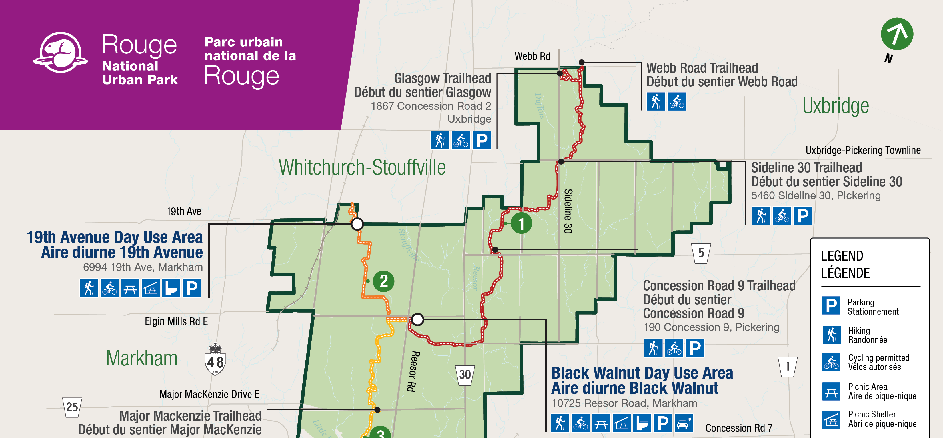
Bus Hike: Northern Rouge National Urban Park - Northeast Trail & Harvest Trail (Markham-Pickering-Whitchurch-Stouffville)
https://hikesstaging.brucetrail.org/event/bus-hike-northern-rouge-national-urban-park-northeast-trail-harvest-trail-markham-pickering-whitchurch-stouffville/Sorry, the registration cut-off time for this hike has been reached.Not a member? Click here to join today!Trip Information
Departure Time: 08:30
Return to City Time: 17:00
Departure Point: York Mills Bus PickupOptional Items
Unionville GO Station Pick-up ($0.01)Hosting Club: Toronto
Category: Bus Hike
Location (Google Maps):Northern Rouge National Urban Park
Hike Leader(s): Celia Ho, Tom Swales Click here to contact Hike Leader(s)
Pace: Moderate (3-4 km/hr)
Terrain: Flat
Distance: 15.8 kmDescription
On this hike we will continue to explore the Rouge National Urban Park, this time in the section of the park in Markham, Pickering, and Whitchurch-Stouffville, starting in the Black Walnut Day Use Area in Markham. We will explore the Northeast Trail (10.7 km) and the Harvest Trail (5.1 km).The meeting point will be the York Mills Bus Pickup location. There is an additional pickup location at Unionville GO Station – select that option when registering if you would like to be picked up there.
The meeting time is 8:30 AM at the York Mills pickup location and 8:45 AM at the Unionville GO Station pickup location.
This will be a relatively easy and leisurely hike. The terrain is relatively flat with some stairs. The surface condition consist of compacted granular trails and boardwalks. The pace will be a moderate pace of 4 km/hr.
There will be a drop-out point at 10.7 km after the Northeast Trail. The total distance covering all the trails will be 15.8 km.
After the hike there will be a refreshment stop at the Muddy York Brewery in Whitchurch-Stouffville or on Main Street Stouffville.
For your reference, the Park Map for the Rouge can be found at:
https://parks.canada.ca/pn-np/on/rouge/visit/cartes-maps
Car Hike: Boyd Conservation Park Vaughan
https://hikesstaging.brucetrail.org/event/car-hike-boyd-conservation-park-vaughan-5/Sorry, the registration cut-off time for this hike has been reached.Not a member? Click here to join today!Hosting Club: Toronto
Category: Urban Walk
Location (Google Maps): Boyd Conservation Park, Islington Avenue, Vaughan, ON free parking at the entrance of the park,There are different public transit routes to this parking lot please check transit maps/google map
Hike Leader(s): Mohammad Aghamiri Click here to contact Hike Leader(s)
Pace: Moderate
Terrain: Variable
Distance: 14-17 kmDescription
Explore the trails that wind through the beautiful valley at Boyd Conservation Area and the William Grainger Greenway. We will have lunch/snack in shelter with seated area,Please bring hiking poles, proper closing and shoes and lots of water,
Please carefully read safety procedures during the hike:
1-Hikers must stay between the leader and the sweep.
2-Hikers must advise the leader or the sweep if they wish to leave the group.
3- Hikers must follow the whistle instructions: 1 blast- stay where you are; 2 blasts come to the leader; 3 blasts – come to the leader quickly.
4-Hike leader may request volunteers to stop at trail intersections, they need to help hikers to the direction the group walk and wait till they see the sweep .
5-Hikers have to make sure they can see the persons behind and in front of
Hoggs Falls
https://hikesstaging.brucetrail.org/event/hoggs-falls-7/Sorry, the registration cut-off time for this hike has been reached.Not a member? Click here to join today!Hosting Club: Blue Mountains
Category: Register in person the morning of hike.
Location (Google Maps): Hike meets in the parking lot behind Tim Hortons on First St. in Collingwood.Hike Leader(s): Michael Treuman Click here to contact Hike Leader(s)
Pace: Leisurely – 3 km/hr. or less
Terrain: Moderate – Some hills and/or some poor footing
Distance: 5 kmDescription
We will park at km 67.5 on the Lower Valley Road in the Beaver Valley section. We will hike on the Hoggs Falls Lower Side Trail, join up with the white blazed trail and continue north. Meeting up with the Hoggs Falls Upper Side Trail, we will hike west to form a loop back to the cars. The trail leads through forests, climbs out of the creek valley and follows along the edge of an open field before dropping down again onto an old logging road and into the beginning of a wide valley. Bring a snack or lunch and water.Easy Does It Hike, Merritt Island Park
https://hikesstaging.brucetrail.org/event/easy-does-it-hike-merritt-island-park/Sorry, the registration cut-off time for this hike has been reached.Not a member? Click here to join today!Hosting Club: Niagara
Category: Hike
Location (Google Maps): Merritt islandHike Leader(s): Diane Marlatt Click here to contact Hike Leader(s)
Pace: Leisurely
Terrain: Easy
Distance: 5 KmDescription

9:15 SUMMER 2024 BLACK HISTORY SERIES - #5 of 5: Chloe Cooley and the Beginning of the End Black Enslavement in Upper Canada
https://hikesstaging.brucetrail.org/event/915-summer-2024-black-history-series-5-of-5-chloe-cooley-and-the-beginning-of-the-end-black-enslavement-in-upper-canada/Sorry, the registration cut-off time for this hike has been reached.Not a member? Click here to join today!Hosting Club: Niagara
Category: Loop
Location (Google Maps):Veteran’s Memorial Park. Park on Veteran’s Lane, past tennis courts
Hike Leader(s): Karen Couch Click here to contact Hike Leader(s)
Pace: Medium
Terrain: Easy
Distance: 5-6 kmDescription
The Town of Niagara-on-the-Lake (NOTL) has a significant and nation-shifting Black history. On this hike, voices from the past will tell their stories, enriching hikers understanding of how they shaped this town and nation.
This is the last of the Summer 2024 series of hikes.
*Be prepared for the sun/heat as this hike is largely in the open (e.g., hydration, sunscreen, etc.).
**This hike counts as 1 of the 3 required hikes in the Summer 2024 series towards the Black History badge.
Please Note: Hikes are offered by volunteers who have committed to their own learning, to be able to offer informative and contemplative hike experiences. These hikes are opened to all and offered in a spirit of mutual learning and inclusion.

Summer's End Rainbow Hike
https://hikesstaging.brucetrail.org/event/summers-end-rainbow-hike/Sorry, the registration cut-off time for this hike has been reached.Not a member? Click here to join today!Hosting Club: Peninsula
Location (Google Maps): Bluewater Park, Wiarton (near Dockside Willie’s)
Hike Leader(s): Marg Glendon; Natalie Mechalko Click here to contact Hike Leader(s)
Pace: Leisurely, Medium
Terrain: Moderate
Distance: Two options: ~4km and ~7kmDescription
Join us for a free, family friendly guided Summer’s End Rainbow Hike for 2SLGBTQ+ folx and allies. Meet at Bluewater Park in Wiarton. We will leave some cars at Bluewater Park and carpool from here to Wright’s Crescent. At Wright’s Crescent, we will gather together before dividing into two hiking groups. This hike will offer two options – one for a shorter, slower paced (~3.7 km) hike and the other a faster paced and longer hike (7 km). The faster and longer hike participants will begin their hike along Purple Valley Side Trail to the Main Trail. They will follow the Main Trail through the forest at Malcolm Bluffs Nature Reserve and along the pretty clifftop of Colpoy’s Bay before returning on the Bob Light and Malcolm Bluff Side Trail to the parking lot. This moderately paced hike is relatively flat but on uneven terrain and requires good balance. While the longer hike participants are on their way, the shorter, slower paced hike participants will carpool from Wright’s Crescent to Crawford Drive parking area ( a very short drive). Here we will hike on Crawford Drive Side Trail to the Main Trail – a relatively flat but uneven trail. On the Main Trail we will hike along the top of the Escarpment to the Purple Valley Side Trail, returning to Wright’s Crescent and the rest of the parked vehicles. Bring a light backpack to carry water and snacks. Wear supportive footwear with good tread and closed toes. We will have ample time for taking photos and taking short breaks. Hike duration for both hikes will be about 2 – 2 1/2 hours. Portapotties are available at the Wright’s Crescent parking lot. After our hikes, we will carpool back to Bluewater Park.Please join us for a potluck picnic here. - 25August 25, 2024
Peninsula Blue Series: Cape Chin
https://hikesstaging.brucetrail.org/event/peninsula-blue-series-cape-chin/Sorry, the registration cut-off time for this hike has been reached.Not a member? Click here to join today!Hosting Club: Peninsula
Category: Peninsula Blue Series
Location (Google Maps): Otter Lake Side Trail Roadside Parking along the shoulder of Cape Chin North RoadHike Leader(s): Kathleen Stahlbaum Click here to contact Hike Leader(s)
Pace: Leisurely, Medium
Terrain: Moderate
Distance: 13.49 kmDescription
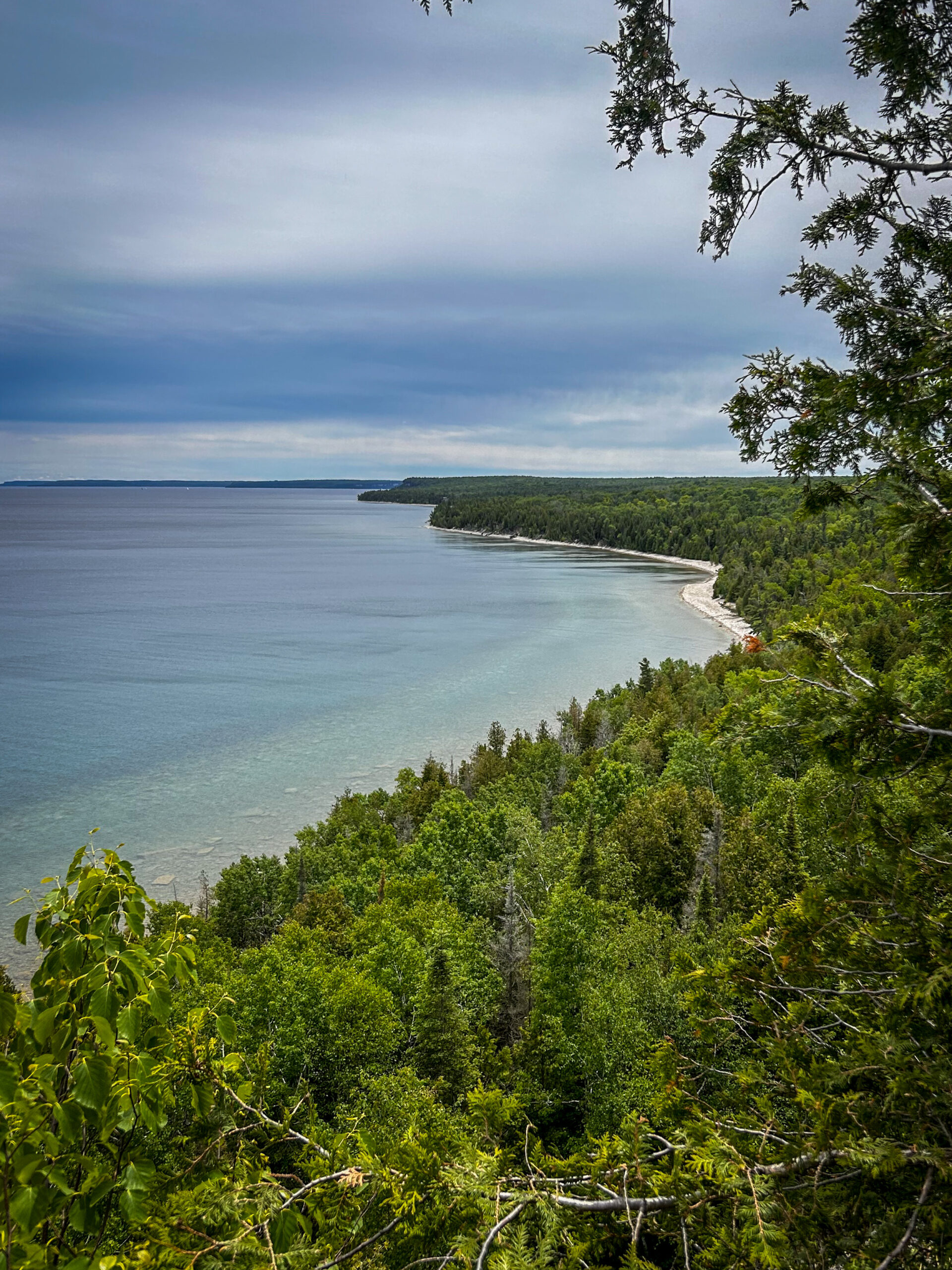
Join us in celebrating charming Cape Chin as we hike several side trails connecting Cape Chin North to Cape Chin South – Cape Chin Meadows Side Trail, Pat Daunt Side Trail, Bard Side Trail, and Otter Lake Side Trail – plus a few stretches of main trail.The hike will include a little bit of everything – rich coniferous forest and lush deciduous forest to beaver ponds, wetlands and marshy areas rich with flora and fauna, to the stunning views of the emerald and turquoise waters of Georgian Bay from the top of the towering white cliffs of the Niagara Escarpment. And of course, it wouldn’t be a proper Cape Chin visit without spending some time snacking on the steps of the beautiful MapleCross mansion at BTC’s MapleCross Nature Preserve.
Be prepared for rocky and slippery conditions (especially around Otter Lake)! Hiking poles are helpful and rain gear may come in handy. Pace will be leisurely to moderate and adjusted for slippery conditions, if needed. Bring plenty of water for hydration, plus a light lunch and a snack or two to keep you nourished throughout our ~6 hour adventure!
Urban Walk; Markham Hike and Splash
https://hikesstaging.brucetrail.org/event/urban-walk-markham-hike-and-splash/Sorry, the registration cut-off time for this hike has been reached.Not a member? Click here to join today!Hosting Club: Toronto
Category: Urban Walk
Location (Google Maps): Finch Go Bus Terminal, Platform 2Hike Leader(s): Leonora Rochwerger Click here to contact Hike Leader(s)
Pace: Moderate
Terrain: Flat
Distance: 10 km (approx.)Description
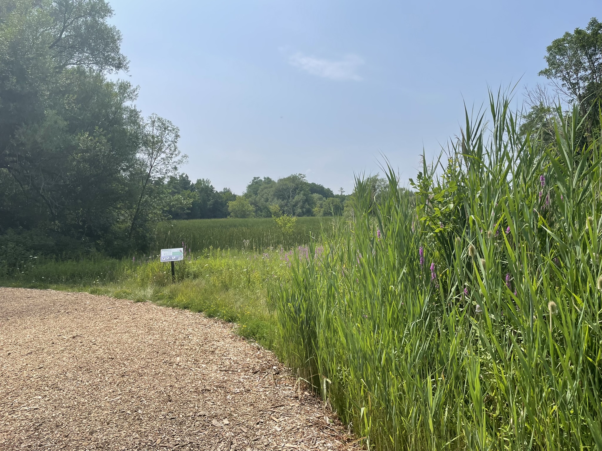
Join us for a 10 km hike along the Rouge River, through sections of Austin Park and Milne Dam Conservation Park, and ending with a post-hike splash (optional- for those interested) at the Morgan Outdoor Pool in Markham Village.Route map: https://onthegomap.com/s/mfi28ji6
How to get there and get home: We will meet as a group no later than 09:30 at the Finch Go Bus Terminal, Platform 2 outside the TTC Finch Station. From there, we will use YRT public transport to get to our hiking starting point.
If you are driving, meet us at the Stiver Mill Community Centre at 9 Station Ln, Markham, at approximately 10:45 am. There is free parking. Please contact the hike leader for precise meeting instructions.
To go back, we will use YRT public transport buses to get to our starting points (either parking or TTC Finch Station). Alternatively, GO trains go from Markham Village GO Station to Union station.
What to bring: Proper walking /hiking shoes, at least 2 litres of water, sunscreen, hat, bug repellent if used and a packed lunch. Appropriate clothing for the weather. No dogs allowed
If going swimming, bring a swimming suit and towel. There is a fee of $4.60 + tax to enter the pool. Change rooms and showers are available. You will need to bring your own lock for a locker. For more information about the Morgan Pool visit: https://www.markham.ca/wps/portal/home/recreation/community-fitness-centres/morgan-outdoor-pool/morgan-pool

Car Hike: Hike #8 to earn the Dufferin Hi-Land Youth and/or Side Trails Badge!
https://hikesstaging.brucetrail.org/event/car-hike-hike-8-to-earn-the-dufferin-hi-land-youth-and-or-side-trails-badge/Sorry, the registration cut-off time for this hike has been reached.Not a member? Click here to join today!Hosting Club: Toronto, Dufferin Hi-Land
Category: Car Hike
Location (Google Maps): We will meet at roadside parking on the west side of 2nd Line E, where the road ends a little north of 8 Sideroad (Map 20 of the Bruce Trail Reference Guide, Edition 31).Hike Leader(s): Monica Pasquali Click here to contact Hike Leader(s)
Pace: Leisurely (2-3 km/hr)
Terrain: Variable
Distance: 7.4 kmDescription
Calling all families with children who love hiking and earning badges!!!This is the eighth in a series of ten hikes that will be offered throughout 2024 on a roughly monthly basis so that children who are 15 years of age and younger can earn the Dufferin Hi-Land Adventurer Youth Badge and their parents/guardians can earn the Dufferin Hi-Land Side Trails Badge at the same time!!! Details regarding the requirements for each badge can be found here: https://dufferinbrucetrailclub.org/dufferin-bruce-trail-club-badges/ Each of the ten hikes will be a loop hike so no car shuttles will be needed, and each hike will cover a distance of approximately 6-9 km hiked at a leisurely pace (2-3 km/h) so children and adults alike can participate.
This eighth hike will be a summer hike to explore the following four side trails: 2nd Line ECL, part of the Oliver Creek ST, the Boyne Creek ST, and the Mulmur Lookout ST. Please dress appropriately for a summer hike by dressing in lightweight and breathable clothing, wearing a sunhat, and wearing comfortable footwear that has good traction. It is also advised that you bring sunscreen, bug spray, a light sweater, and suitable rain apparel in case conditions require their use. As well, make sure you bring enough water and food for a 3-4 hour hike since we’ll be covering a total distance of approximately 7.4 km.
Hopefully you’ll be able to join me on Sunday, August 25th! Until then, happy hiking, everyone!
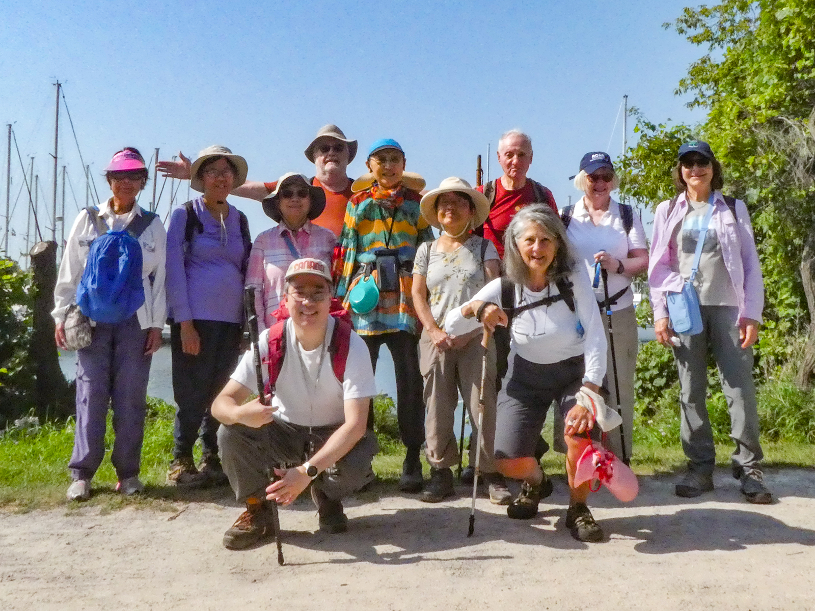
Urban Walk: Bluffers Park
https://hikesstaging.brucetrail.org/event/urban-walk-bluffers-park-2/Sorry, the registration cut-off time for this hike has been reached.Not a member? Click here to join today!Hosting Club: Toronto
Category: Urban Walk
Location (Google Maps): Toronto, OntarioHike Leader(s): Brian Rideout Click here to contact Hike Leader(s)
Pace: Moderate
Terrain: Flat
Distance: 6.9 kmDescription
Please join me at Kennedy Station on the bus platform by 9:45 am. We will take the 201 Bluffers Park bus departing 10:00 am, arriving 10:22 am. We will wander the trails of bluffers park for an estimated distance of 6.9 km. Pub stop is at the Dogfish Pub & Eatery in the park.Please bring at least 2 liters of water, a light snack, bug spray and sunscreen.
Here is an online map of our route. Bluffers Park
Note: Registration closes 48 hours before the start of the hike.
- 26August 26, 2024
Waterdown Out and Back - rescheduled from June 23
https://hikesstaging.brucetrail.org/event/waterdown-out-and-back/Sorry, the registration cut-off time for this hike has been reached.Not a member? Click here to join today!Hosting Club: Iroquoia
Category: General Hike
Location (Google Maps): Off Road Parking King RoadHike Leader(s): Pati Greenwood, Jeff Dowsett Click here to contact Hike Leader(s)
Pace: Medium – 3 to 4 km/hr
Terrain: Moderate – Some hills and/or some poor footing
Distance: 12 kmDescription
We will follow the BT main trail from King Road to Snake Road and make out back back, taking in the McNally Side Trail on the way back.Bring plenty of water and snacks. We will take regular hydration and snack breaks along the way. Insect repellent is recommended.
Please arrive at 8:15 am as we will leave promptly at 8:30 am.
Mushroom Hunt
https://hikesstaging.brucetrail.org/event/mushroom-hunt/Sorry, the registration cut-off time for this hike has been reached.Not a member? Click here to join today!Hosting Club: Peninsula
Category: Botany Hike
Location (Google Maps): Parking lot at the junction of Malcolm Bluff Side Trail and Purple Valley Access Trail [44.836895, -81.053576]Hike Leader(s): Barbara Reuber Click here to contact Hike Leader(s)
Pace: Leisurely
Terrain: Moderate
Distance: 1 – 2 kmDescription
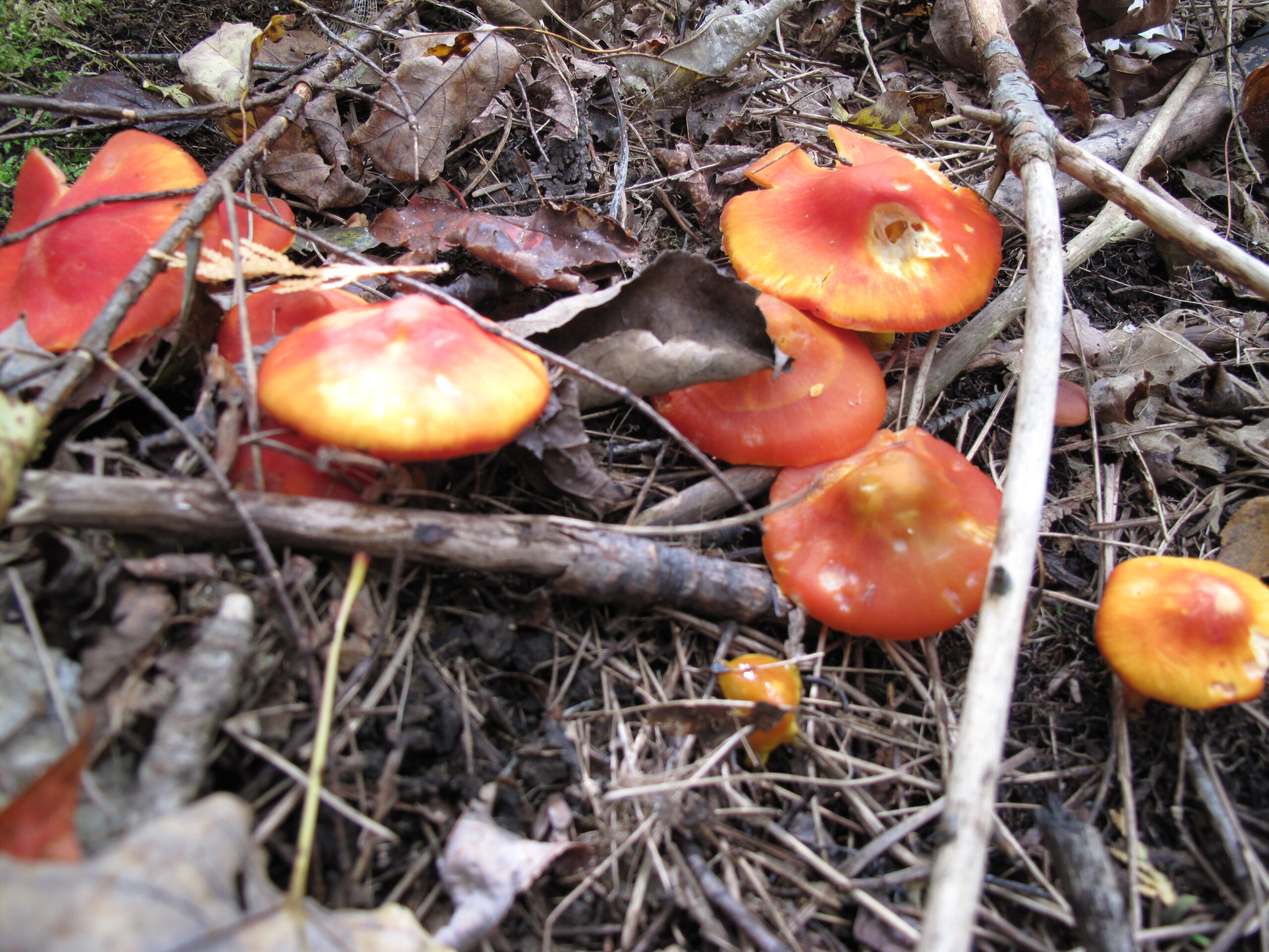
Join mushroom expert and nature writer Jan Thornhill (http://weirdandwonderfulwildmushrooms.blogspot.ca and many children books) as we explore the amazing variety of fungi that can be found on the Bruce Peninsula. We will take the Purple Valley access trail to the main trail and explore the woods along the escarpment. We won’t be covering much ground – this is more of an in-depth look at the biodiversity of mushrooms and other fungi than a hike. It’s also a family-friendly event so you’re welcome to bring children. Since many of the most beautiful and interesting fungi are very small (Eyelash Cups! Turquoise Elfcups!), bring a hand lens, magnifying glass, or binoculars (which you can look through the wrong way to magnify!) if you have them.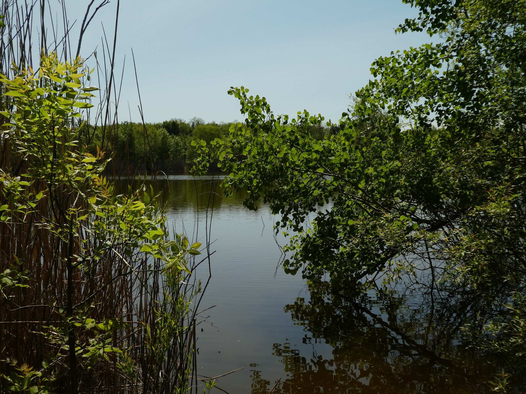
Afternoon Hike - Fisher's Pond
https://hikesstaging.brucetrail.org/event/fishers-pond-7/Sorry, the registration cut-off time for this hike has been reached.Not a member? Click here to join today!Hosting Club: Iroquoia
Category: Afternoon/Evening Hikes
Location (Google Maps): Meet roadside on Guelph Line, south of No 1 Sideroad.Hike Leader(s): Karen Bergmann Click here to contact Hike Leader(s)
Pace: Medium – 3 to 4 km/hr
Terrain: Moderate – Some hills and/or some poor footing
Distance: 6 kmsDescription
We will hike up the main trail from Guelph Line, around Fisher’s Pond on the side trail and back. There are a few hills that can be a bit strenuous. Bring bug spray/bug net.