
Hike Schedule
Join us for a hike! Registration required.
All hikes available to BTC members. Some hikes are open to non-members.
See Refund Policy for Paid Hikes >
TIP: The calendar view displays up to 7 hikes on a day, but often there are more. Click “View more events” to see them all.
Categories
- 12March 12, 2024
Urban Walk: Valley View Park Thornhill
https://hikesstaging.brucetrail.org/event/urban-walk-valley-view-park-thornhill-15/Sorry, the registration cut-off time for this hike has been reached.Not a member? Click here to join today!Hosting Club: Toronto
Location (Google Maps): Parking lot at the corner of Bayview Ave, and Sycamore Dr. South of Highway 7
Hike Leader(s): Mohammad Aghamiri Click here to contact Hike Leader(s)
Pace: Moderate
Terrain: Hilly
Distance: 7-8 kmDescription
We will explore Valleyview and Huntington park and walk along German Mill Creek,It is winter time and trail is hilly bring proper clothing, ,hiking boots ,and ice cleats.
9:00 Rockway Long Hike
https://hikesstaging.brucetrail.org/event/900-rockway-long-hike-2/Sorry, the registration cut-off time for this hike has been reached.Not a member? Click here to join today!Hosting Club: Niagara
Location (Google Maps): Meet at Rockway Parking lot on Pelham Rd
Hike Leader(s): Vic Gammon Click here to contact Hike Leader(s)
Pace: Fast
Terrain: Strenuous
Distance: +/- 10kmsDescription
To avoid the muddy conditions, we will be meeting at Rockway Parking lot (On Pelham Rd near Wessel) instead of Short Hills. We’ll hike out for 75 minutes then back to the parking lot. Bring water, poles, and icers if slippery. Please check the weather and dress appropriately.9:15 Short Hike - Short Hills Park, Pelham Rd
https://hikesstaging.brucetrail.org/event/915-short-hike-short-hills-park-pelham-rd/Sorry, the registration cut-off time for this hike has been reached.Not a member? Click here to join today!Hosting Club: Niagara
Category: Loop
Location (Google Maps): Short Hills Provincial Park, Pelham Rd lotHike Leader(s): Helen Hermansen Click here to contact Hike Leader(s)
Pace: Medium
Terrain: Moderate
Distance: 6kDescription
Hike the main and side trails of Short Hills Provincial Park. Bring hiking boots and water. Icers may be required.Silver Creek- Great Esker Side Trail
https://hikesstaging.brucetrail.org/event/silver-creek-great-esker-side-trail-3/Sorry, the registration cut-off time for this hike has been reached.Not a member? Click here to join today!Hosting Club: Dufferin Hi-Land
Category: Tuesday Hike
Location (Google Maps):Toronto Section, Map 13, Meet at intersection of 8th Line and 27th Sideroad, just north of Km 32.2 at 9.30 am
Hike Leader(s): Inge Eckerich, Les Babbage, Julie Daley, Tony Evangelista Click here to contact Hike Leader(s)
Pace: Leisurely
Terrain: Moderate, Slippery and Steep Sections
Distance: 6.0 kmDescription
We will hike a loop on the Main trail and Great Esker side trail. Short hike can return at any time. Icers and/or snowshoes may be required.Mineral Spring to Dundas Valley Trail Centre Loop
https://hikesstaging.brucetrail.org/event/mineral-spring-to-dundas-valley-trail-centre-loop/Sorry, the registration cut-off time for this hike has been reached.Not a member? Click here to join today!Hosting Club: Caledon Hills
Category: Tuesday Hikers
Location (Google Maps): Parking lot on Martin Road behind the Ancaster Rotary Centre
(385 Jerseyville Rd W, Ancaster, ON L9G 3L5)Hike Leader(s): Jerry Bakker Click here to contact Hike Leader(s)
Pace: Medium – 3 to 4 km/hour
Terrain: Moderate – some hills and/or some poor footing
Distance: 11 kmDescription
We will hike down the hill into the beautiful forests of Mineral Springs. Then we will follow the Headwaters Trail eventually finding our way to the Hamilton-Brant Rail Trail. Following the rail trail, we will stop for lunch at the Dundas Valley Trail Centre. After our refueling, we will take various trails back up to the Ancaster Rotary Centre.It may be muddy but there are not rocks!
- 13March 13, 2024

8:30 Merritt Trail Hike Series #2
https://hikesstaging.brucetrail.org/event/830-merritt-trail-hike-series-2-2/Sorry, the registration cut-off time for this hike has been reached.Not a member? Click here to join today!Hosting Club: Niagara
Category: Car Pool
Location (Google Maps): Meet at the Parking Lot at Book Depot , 67 Front St North Thorold, 43.128058, -79.202189
Carpool to parking lot on Merritt Island, WellandHike Leader(s): Sam Rutherford Click here to contact Hike Leader(s)
Pace: Brisk
Terrain: Easy
Distance: 15kDescription
Hike from Merritt Island , Welland to Thorold along the Welland Canal on mainly paved trails. Bring snacks and a drink .Earn the Merritt Trail badge for all 3 hikes
Lower Beaver Valley
https://hikesstaging.brucetrail.org/event/lower-beaver-valley/Sorry, the registration cut-off time for this hike has been reached.Not a member? Click here to join today!Hosting Club: Blue Mountains
Category: Register on-line or sign-in morning of hike
Location (Google Maps): Hike meets in the parking lot behind Tim Hortons on First St. in Collingwood.Hike Leader(s): David Little Click here to contact Hike Leader(s)
Pace: Medium – 3 to 4 km/hr
Terrain: Moderate – Some hills and/or some poor footing
Distance: 11-12 kmDescription
We will begin the hike at the parking area on Johnston’s Sideroad at km
74.3 in the Beaver Valley section. We will hike south to km 68.3 and retrace our steps
heading north to the cars. Trail climbs a high meadow then east across to Cuckoo
Valley and down the Beaver Valley towards the high eastern edges of the escarpment.
Bring a snack or lunch and water.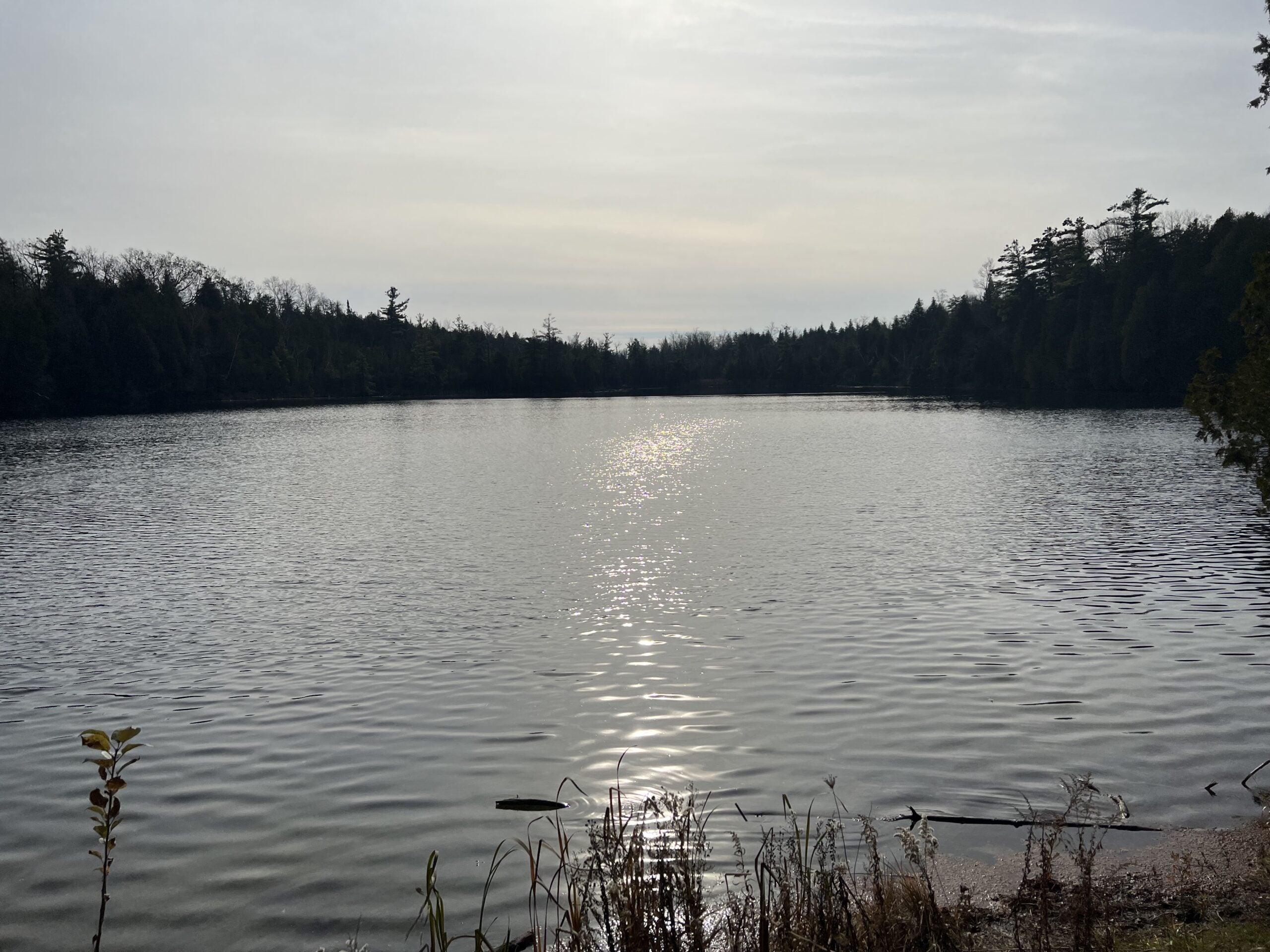
Crawford Lake Loop
https://hikesstaging.brucetrail.org/event/crawford-lake-loop-2/Sorry, the registration cut-off time for this hike has been reached.Not a member? Click here to join today!Hosting Club: Iroquoia
Category: Good Companions
Location (Google Maps): Crawford Lake Conservation Area, 3115 Conservation Rd., MiltonHike Leader(s): Anne Armstrong Click here to contact Hike Leader(s)
Pace: Leisurely – 3km/hr or less
Terrain: Moderate – Some hills and/or some poor footing
Distance: Approx. 7 km.Description
Come enjoy the beauty of the trails in this Conservation Area with its Meromictic Lake, a boardwalk around the lake, gorgeous views across Nassagaweya Canyon towards Rattlesnake Point and wood sculptures. Meet in the lower parking lot at 9:45 am. for a 10:00 am. start. A reservation with Halton Parks is necessary. Bring water, a snack, icers and poles if using. If you are unable to come on the day of the hike please text me at 905 617 3937.
Leader: Anne Armstrong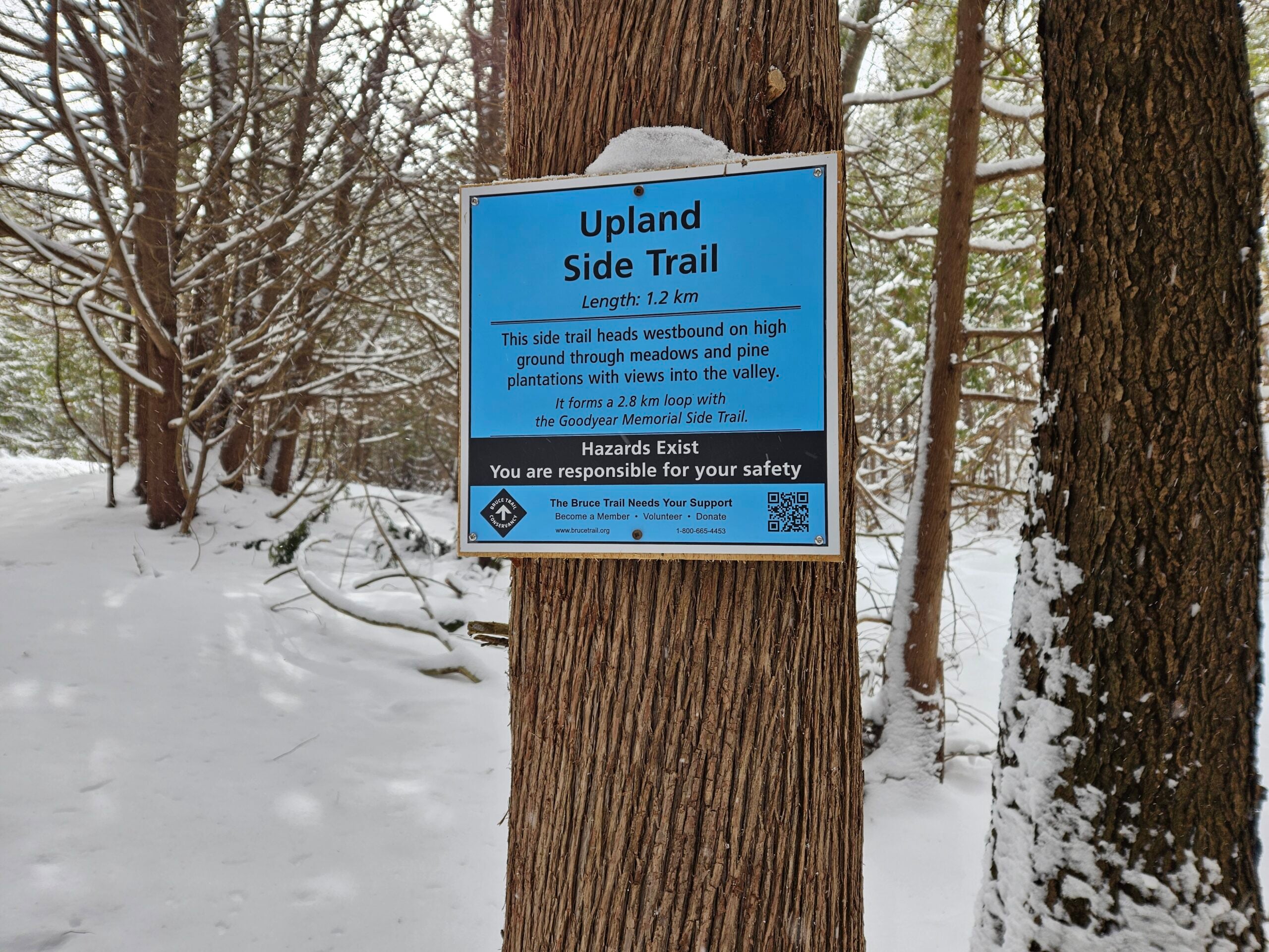
Family Hike at Riverside Woods
https://hikesstaging.brucetrail.org/event/family-hike-at-riverside-woods/Sorry, the registration cut-off time for this hike has been reached.Not a member? Click here to join today!Hosting Club: Caledon Hills
Category: Kids
Location (Google Maps): Riverside Woods: Meet at the BTC Parking Lot, 713377 1st Line EHS, Mono.
From ON-9, head north onto 2nd Line EHS for 3 km. Turn left onto Side Road 5 for 1.5 km. Turn right onto 1st Line EHS for approximately 1 km. Continue straight into the parking lot.
From ON-10, head east on Hockley Road/Dufferin County Road 7 for 1 km. Continue straight onto Side Road 5 for 1.5 km. Turn left onto 1st Line EHS for approximately 1 km. Continue straight into the parking lot.Hike Leader(s): Lynn Dobson Click here to contact Hike Leader(s)
Pace: Leisurely – 3 km/hour or less
Terrain: Easy – mostly flat and usually good footing
Distance: About 2.5 kmDescription
Come and explore Riverside Woods on a family hike. Going at a leisurely pace, we will hike about 2.5 kilometres on Bruce Trail side trails. Family-friendly activities, like an opportunity along the way to stop and feed the chickadees, are included. Please come prepared for a March hike. It may be snowy, icy, or muddy! Bring water and snacks. No dogs please.Winter Wednesday Walkers - Seigerman/Allan
https://hikesstaging.brucetrail.org/event/winter-wednesday-walkers-seigerman-allan/Sorry, the registration cut-off time for this hike has been reached.Not a member? Click here to join today!Hosting Club: Beaver Valley
Location (Google Maps): Meet on the north side shoulder of Sideroad 22C, km 99.9, Map 28, Edition 31.
Hike Leader(s): Glenda Collings Click here to contact the hike leader.
Pace: Medium
Terrain: Moderate, Some steep sections
Length of Hike: Approx. 6 kmDescription
This is an out and back hike which takes us through the Siegerman property and the BTC acquired Allan property, a pretty creek, hardwood and evergreen forests and AVC trails snow covered in winter. On winter hikes we may encounter bare ground, light snow, deep snow, or ice. Please bring snowshoes and icers to our Winter Wednesday Walkers outings. Wear appropriate clothing for the weather plus water and a snack.COVID-19 Precautions Before, During and After your Hike
- Each hiker joining a Bruce Trail Club organized hike must perform a self-screening check before hiking.
Find Ontario’s self-assessment tool here: https://covid-19.ontario.ca/self-assessment/ - If you are experiencing COVID-19 symptoms, stay home.
Other Guidelines
- Arrive 15 minutes before the start of the hike.
- Wear sturdy footwear and appropriate attire for the weather and the terrain.
Hiking poles are a good idea in any season, especially if the terrain is rocky or slippery. In winter, snowshoes or icers/crampons are needed when conditions dictate.
Wearing appropriate clothing and footwear prevents injuries and shows consideration for a safe and positive group hiking experience. - Always carry I.D. and your health card.
- Bring sufficient water and snacks (or lunch if indicated). A minimum of 1L of water is recommended on all hikes, and 3L is recommended for long, challenging hikes in the heat of the summer.
- Bring sunscreen and insect repellent (for spring and summer hikes).
- Bring your own first aid kit.
- Please leave dogs at home.
- Each hiker joining a Bruce Trail Club organized hike must perform a self-screening check before hiking.
- 14March 14, 2024
Urban Walk: Valley View Park Thornhill
https://hikesstaging.brucetrail.org/event/urban-walk-valley-view-park-thornhill-16/Sorry, the registration cut-off time for this hike has been reached.Not a member? Click here to join today!Hosting Club: Toronto
Location (Google Maps): Parking lot at the corner of Bayview Ave, and Sycamore Dr. South of Highway 7
Hike Leader(s): Mohammad Aghamiri Click here to contact Hike Leader(s)
Pace: Moderate
Terrain: Hilly
Distance: 7-8 kmDescription
We will explore Valleyview and Huntington park and walk along German Mill Creek,It is winter time and trail is hilly bring proper clothing, ,hiking boots ,and ice cleats.
9:00 am Long Hike Jordan to Moyer / Louth
https://hikesstaging.brucetrail.org/event/900-am-long-hike-jordan-to-moyer-louth-61/Sorry, the registration cut-off time for this hike has been reached.Not a member? Click here to join today!Hosting Club: Niagara
Location (Google Maps):
Jordan Hollow Park 3039 King St Jordan
Pace: Medium
Terrain: Moderate
: 10kDescription
From Jordan Hollow Hike the main trail to Upper and Lower Balls Falls, Moyer Road or Louth and Return. You must register for each hike. Bring Poles, sunscreen, bug spray , snack and a drink and dress for the weather
9:15 Short Hike, Jordan Hollow
https://hikesstaging.brucetrail.org/event/915-short-hike-jordan-hollow-100/Sorry, the registration cut-off time for this hike has been reached.Not a member? Click here to join today!Hosting Club: Niagara
Category: Loop
Location (Google Maps): Jordan Hollow Park, 3039 King St., Jordan StationPace: Medium
Terrain: Moderate
Distance: ~ 6kmsDescription
Hike the main and side trails around Jordan and Ball’s Falls. Bring hiking boots, water and icers. This hike qualifies for the Winter hiking badge. See website for details. https://niagarabrucetrail.club/badges/10;00 Merrit island loop
https://hikesstaging.brucetrail.org/event/1000-merrit-island-loop/Sorry, the registration cut-off time for this hike has been reached.Not a member? Click here to join today!Hosting Club: Niagara
Category: Loop
Location (Google Maps): Merritt Island Park. Go North on Cross street to parking lot and play ground. Pass library on your right. Keep going.Hike Leader(s): Sylvia Wheeler Click here to contact Hike Leader(s)
Pace: Leisurely
Terrain: Easy
Distance: 10 kmDescription
Hike along the Welland Canal on paved and mud free trails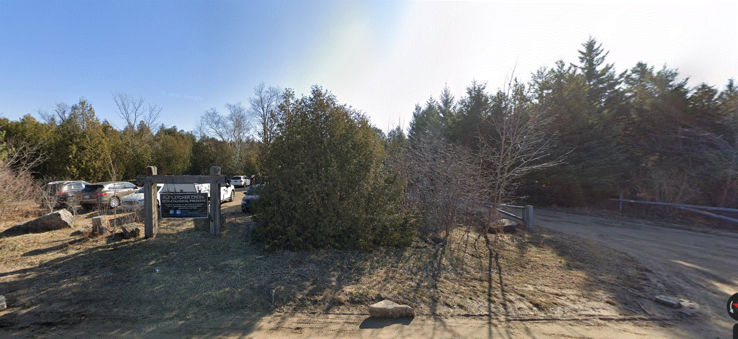
Fletcher Creek Preserve, Puslinch, HCA Property
https://hikesstaging.brucetrail.org/event/fletcher-creek-preserve-puslinch-hca-property-4/Sorry, the registration cut-off time for this hike has been reached.Not a member? Click here to join today!Hosting Club: Iroquoia
Category: General Hike
Location (Google Maps):Park at Fletcher Creek Ecological Preserve on Concession 7 just north of Gore Rd , Puslinch
HCA passes can be used or $8.00 per vehicleHike Leader(s): Cathie Green Click here to contact Hike Leader(s)
Pace: Medium – 3 to 4 km/hr
Terrain: Easy – Mostly flat and usually good footing
Distance: Approx. 10 kmsDescription
Easy, Moderate hike – Fletcher’s Creek Preserve is an abandoned quarry site that has been rehabilitated and is located at the headwaters of the Spencer Creek watershed
We will loop hike through the preserve as well as an adjacent trail that also was part of the quarry back in the day-lots of local history- it was the area swimming hole and some still use it.
Wear appropriate clothing and footwear for the weather-could be wet. Bring water, snack, hiking poles, cell
Please feel free to call or text me if you have any concerns or questions Cathie 416-931-2095 cathiekygreen@gmail.com
- 15March 15, 2024
9:00 am Niagara-on-the-Lake Tour
https://hikesstaging.brucetrail.org/event/900-am-niagara-on-the-lake-tour-20/Sorry, the registration cut-off time for this hike has been reached.Not a member? Click here to join today!Hosting Club: Niagara
Location (Google Maps): Veterans Memorial Park, park just outside the park on King Street
Hike Leader(s): Robin Garrett Click here to contact Hike Leader(s)
Pace: Medium
Terrain: Easy
Distance: 6-7 kmDescription
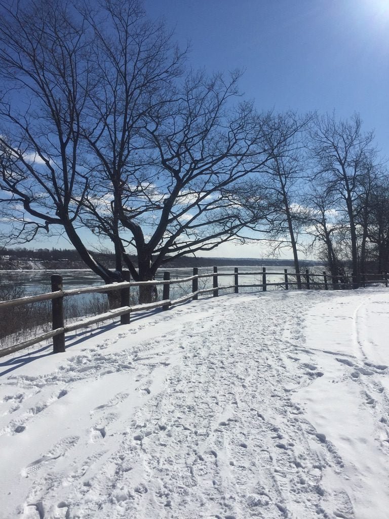
Each Friday we will explore different neighbourhoods, trails and parkland throughout Historic Niagara-on-the-Lake.Moderate pace with some weeks entirely on sidewalks and roads while others may include a mix of trails and paved pathways. Great way to build up endurance for longer more strenuous hikes.
Prepare for cooler windy conditions on open parkland and along Lake Ontario and Niagara River trails.
Plan to stay for conversation and a warm cup of coffee or tea at Sweets & Swirls, Community Centre, Niagara Stone Road, NOTL
Spring & Migration Monitor Hike
https://hikesstaging.brucetrail.org/event/spring-migration-monitor-hike-3/Sorry, the registration cut-off time for this hike has been reached.Not a member? Click here to join today!Hosting Club: Peninsula
Location (Google Maps): Km 106 in the 31st Ed Ref Manual, at the Cape Chin North mail boxes before going down the escarpment
Hike Leader(s): Tamara Wilson Click here to contact Hike Leader(s)
Pace: Leisurely
Terrain: Difficult
Distance: 6kmDescription
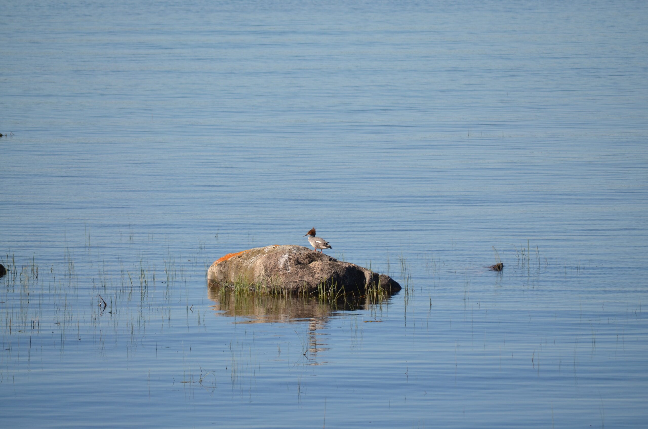
Leaving the Cape Chin N mailbox parking area, we will progress south on the Main Trail to km 104.3 and head left on Cape Chin Meadows ST, crossing Cape Chin Rd N to the Otter Lake ST at . We will hike to the birding platform, spending a few minutes to take in any new migration arrivals and harbingers of spring. After a break at the birding platform we will continue on Otter Lake ST back to our parked cars. Depending on what we see, this hike could take up to 2 hours. Note: though a short distance, the ground will be rocky and uneven in places. Along the shores of Otter Lake, there could be some mud.