
Hike Schedule
Join us for a hike! Registration required.
All hikes available to BTC members. Some hikes are open to non-members.
See Refund Policy for Paid Hikes >
TIP: The calendar view displays up to 7 hikes on a day, but often there are more. Click “View more events” to see them all.
Categories
- 08December 8, 2024
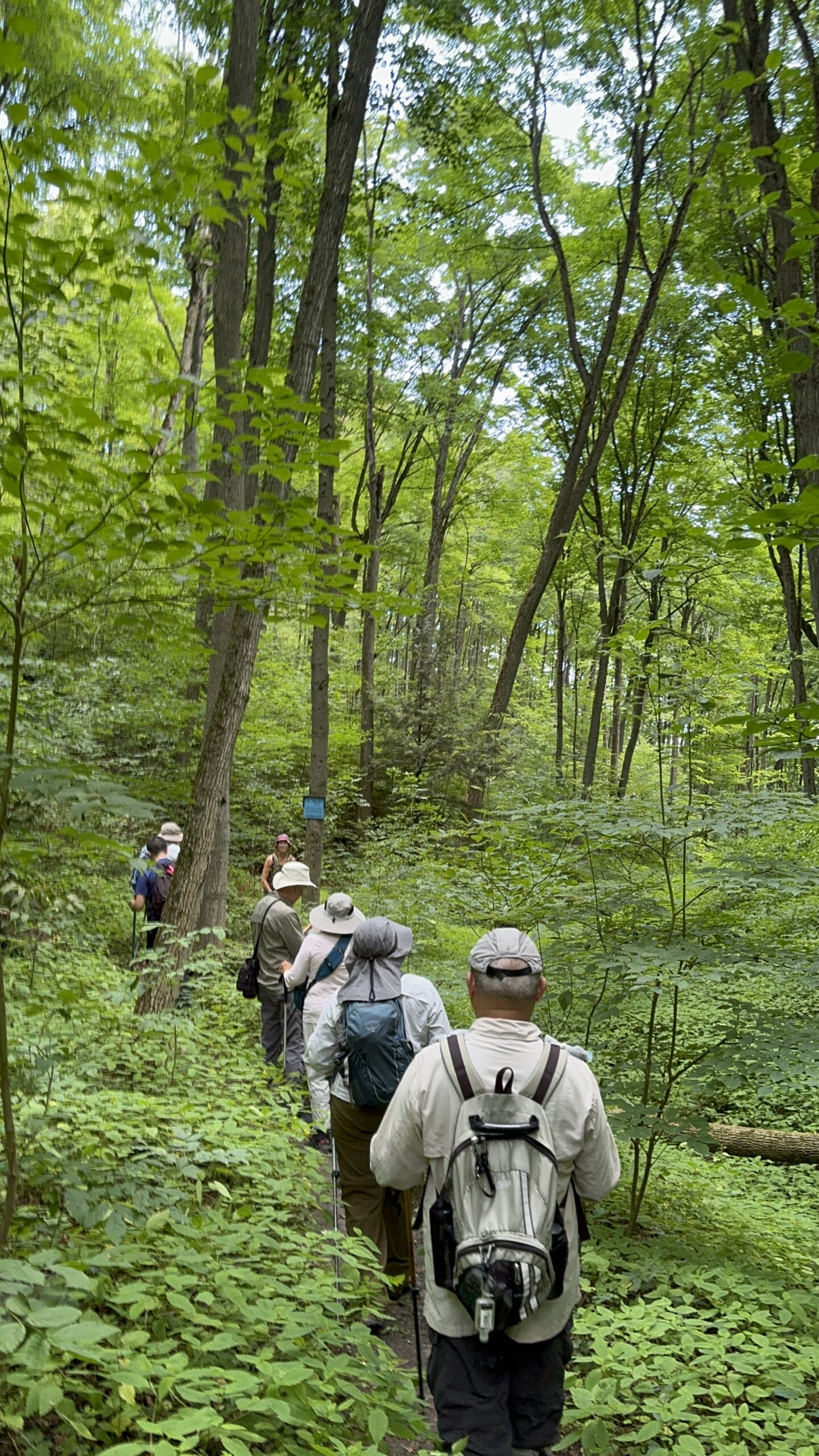
Car Hike: Exploring Uxbridge Trails (Wilder Forest, Walker Woods, and Glen Major Forest)
https://hikesstaging.brucetrail.org/event/car-hike-exploring-uxbridge-trails-wilder-forest-walker-woods-and-glen-major-forest-2/Sorry, the registration cut-off time for this hike has been reached.Not a member? Click here to join today!Hosting Club: Toronto
Category: Car Hike
Location (Google Maps):2499 Brock Rd, Uxbridge, ON L9P 1R4. We will meet at the East Duffins Headwaters parking lot at the WILDER FOREST trail head. As soon as you got off the Brock Road, passing the horse back riding facility, there is a free designated parking lot 70 meters down the lane to your right. It includes a sign board for East Duffins Headwaters with a map of the trails. Please do not park on the lane or in the horse back riding property.
Hike Leader(s): Amir Alemohammad Click here to contact Hike Leader(s)
Pace: Moderate (3-4 km/hr)
Terrain: Hilly, Level 2 (Intermediate – some hills and uneven surfaces, rocks and roots underfoot), Variable
Distance: Approx.14-16 KmDescription
Join us for an enjoyable winter hike in Uxbridge! We’ll explore parts of Wilder Forest, Walker Woods, and Glen Major Forest in a loop starting from Brock Road, passing Concession Road 6, heading west and back. Along the main trail, we’ll also venture onto several side trails.Please stay on the designated trails at all times. Expect beautiful scenic views and lookouts facing south, with a mix of hilly and flat segments. Be prepared for variable weather—chilly, icy and windy conditions are likely this time of year. Boots mandatory, poles recommended. Please bring your icers and have them ready for the hike.
Bring at least 2 liters of water and your favorite snacks. We’ll have frequent 2-minute breaks for hydration and lookout photos, along with a 20-minute lunch stop at the Aggregate Pit look out. Please pack your own lunch and refreshments for an enjoyable outdoor meal.
Don’t forget your camera and a smile as we explore the beauty of the Uxbridge trails!

Iroquoia Stained-Glass Fundraiser End to End - 6 Hikes
https://hikesstaging.brucetrail.org/event/iroquoia-stained-glass-fundraiser-end-to-end-6-hikes/Sorry, the registration cut-off time for this hike has been reached.Not a member? Click here to join today!This is a Multi-Day Hike
You are signing up for the following dates:
2024-12-08, 2024-12-15, 2025-01-05, 2025-01-12, 2025-01-19, 2025-01-26Hosting Club: Iroquoia
Category: Stained Glass Badge Fundraiser – Iroquoia E2E-in-Six
Location (Google Maps):Day 1 – December 8, 2024-Kilbride School, Panton St, Burlington – Please park in the back 43.427756, -79.937991
Hike Leader(s): Anita Bergsma Click here to contact Hike Leader(s)
Pace: Medium – 3 to 4 km/hr
Terrain: Moderate – Some hills and/or some poor footing
Distance: Varies but about 15-26 km per outingDescription
Join us in the Iroquoia End to End this fall starting in December 8, 2024 for 6 hikes. Each hike will be approximately 15-26 kms at a moderate pace. This is suitable for intermediate to advanced hikers.We will be using hiker’s vehicles to shuttle between our start and end point for each hike. As well, there will be costs at Hilton Falls.
Proper hiking boots is a must! Bring hiking poles, food/snacks, water, gloves, hat, and jacket.
Arrive at 9:00 am for roll call/check in/drive to the starting point. Hike will start at 9:30 am sharp
It is important to complete each section within a time frame to consider the shorter days.
Hikers will receive a stained glass badge or may opt to switch it out for the needed fox badge.
If you must miss a day but can make it up before the last scheduled hike, you will still qualify for this Stain Glass badge.
Please, no dogs or children. All logistics/scheduling/start/stop and parking (shared cost if there is a fee)and a hike leader to guide you, is included.
__________
Day 1 – December 8, 2024 -Kilbride School, Panton St, Burlington – Please park in the back 43.427756, -79.937991
(20). Car shuttle to Hilton Falls Conservation Area.4985 Campbellville Rd, Milton 43.505705,
-79.961589 (100) 26.68kmDay 2 – December 15, 2024- City View Park Waterdown (2nd entrance off Kerns Rd. South of Dundas St.)
N43.352308, W79.862585 (50) 22.64kmDay 3 – January 5, 2025- Davidson Blvd. Dundas N43.265251, W79.990490 (5) 21.94km
Day 4 – January 12, 2025 – Chedoke Golf Club parking lot, Hamilton N43.246205, W79.906935 (40)15.24km
Day 5 – January 19, 2025 – Glover Mountain Rd. Side Trail roadside parking, Stoney Creek N43.209155,
W79.773801 (10) 17.58kmDay 6 – January 26, 2025 – Grimsby Lions Community Pool 1 Elm St, Grimsby. N43.193201, W79.565301 (30)
21.33km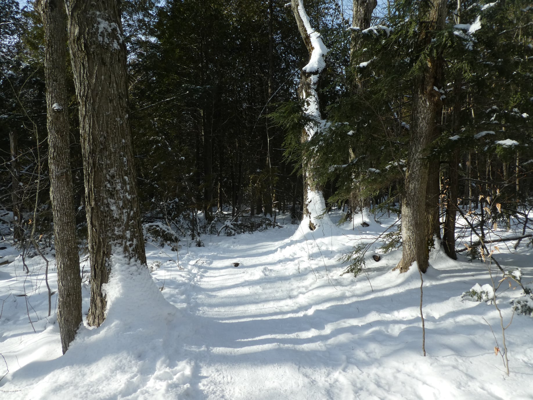
Scotsdale Farm
https://hikesstaging.brucetrail.org/event/scotsdale-farm/Sorry, the registration cut-off time for this hike has been reached.Not a member? Click here to join today!Hosting Club: Iroquoia
Category: General Hike
Location (Google Maps): Meet in the parking lot on 8th Line at 9:15 amHike Leader(s): Karen Bergmann Click here to contact Hike Leader(s)
Pace: Medium – 3 to 4 km/hr
Terrain: Moderate – Some hills and/or some poor footing
Distance: 7 kmsDescription
We will hike the Maureen Smith Side Trail, the main trail and the Bennett Heritage Side Trail. Bring icers for your boots, just in case. Hike is dependent on weather conditions.11:00 am Gerry Berkhout Trail in Fenwick
https://hikesstaging.brucetrail.org/event/1100-am-gerry-berkhout-trail-in-fenwick-3/Sorry, the registration cut-off time for this hike has been reached.Not a member? Click here to join today!Hosting Club: Niagara
Category: In and Out
Location (Google Maps):Meet at Centennial Park on Church St in Fenwick. Park in first parking lot. After the hike we can go to the Grill on Canboro for refreshments. This is a flat walk, minimal if any mud. Bring water and dress for the weather.
Hike Leader(s): Lynskie Click here to contact Hike Leader(s)
Pace: Fast
Terrain: Easy
Distance: 10kmsDescription
This will be an in/out hike. We’ll walk for an hour and then turn around. The terrain is flat (this was an old railway line) and in most sections will be dry. If you have any medical condition that you think I should know about, please email me when you register or see me the morning of the hike.Snowshoe Exploring Sydenham Hike 21
https://hikesstaging.brucetrail.org/event/exploring-sydenham-hike-21/Sorry, the registration cut-off time for this hike has been reached.Not a member? Click here to join today!Hosting Club: Sydenham
Category: Snowshoe Hike
Location (Google Maps):Meet in the north-east corner of the parking lot at Home Depot on Highway 26 on the east side of Owen Sound.
Hike Leader(s): Bill Snel Click here to contact Hike Leader(s)
Pace: Leisurely: 3 km/h or less
Terrain: Moderate: Some hills and/or poor footing
Distance: 4 kmDescription
We will carpool to do a snowshoe hike of the Sydenham Nature Reserve. This is hike 21 in the book, Exploring Sydenham. There is one secret to locate. If you do not have a book and would like one ($30) let me know by using the “Contact hike leader” link.