
Hike Schedule
Join us for a hike! Registration required.
All hikes available to BTC members. Some hikes are open to non-members.
See Refund Policy for Paid Hikes >
TIP: The calendar view displays up to 7 hikes on a day, but often there are more. Click “View more events” to see them all.
Categories
- 03November 3, 2024

Caledon Hills Vintage Badge & 60 For the 60th End-to-End Series
https://hikesstaging.brucetrail.org/event/caledon-hills-vintage-badge-60-for-the-60th-end-to-end-series/Sorry, the registration cut-off time for this hike has been reached.Not a member? Click here to join today!This is a Multi-Day Hike
You are signing up for the following dates:
2024-11-03, 2024-11-17, 2024-11-24, 2024-12-08Hosting Club: Caledon Hills
Category: End-to-End
Location (Google Maps): Meet at km 15.9, designated roadside parking along the southwest shoulder of Willoughby Road near Escarpment Sideroad intersection, 43.831244, -79.980588.
Directions: From ON-10 turn west onto Escarpment Side Rd. Proceed for 1.5 km to roadside parking.Hike Leader(s): Sandy Green, Lana Hubbard, and Lily Li Click here to contact Hike Leader(s)
Pace: Medium – 3 to 4 km/hour
Terrain: Strenuous – hilly with steep climbs and some poor footing
Distance: 16 kilometresDescription
Here is an end of the year opportunity to complete the Caledon Hills section in 4 hikes for the vintage E2E and the 60 for the 60th badges. Hike distances range from 16 km – 20 km. Bring snacks and beverages. Sturdy footwear is required. Badges will be available for purchase.
Peninsula Blue Series: Sinkhole Side Trail
https://hikesstaging.brucetrail.org/event/peninsula-blue-series-sinkhole-side-trail/Sorry, the registration cut-off time for this hike has been reached.Not a member? Click here to join today!Hosting Club: Peninsula
Category: Peninsula Blue Series
Location (Google Maps):Little Cove parking
Hike Leader(s): Saabir Sohrab Click here to contact Hike Leader(s)
Pace: Medium
Terrain: Difficult
Distance: ~13kmDescription
This is an in and out hike. We will meet at the Little Cove parking and hike south on the main trail to Driftwood Cove. Along the way, we will explore the Sink hole side trail and also enjoy gorgeous views of the Georgian bay.Our lunch stop will be at the Driftwood Cove beach before hiking back to the Little Cove parking.
Bring water, snacks, and lunch, and most importantly, dress for the weather.
Scotsdale Farm
https://hikesstaging.brucetrail.org/event/scotsdale-farm-trafalgar-day-hike/Sorry, the registration cut-off time for this hike has been reached.Not a member? Click here to join today!Hosting Club: Dufferin Hi-Land
Category: General Hike
Location (Google Maps): First parking lot in a grass field on the right as you enter from Trafalgar Road just north of Silver Creek. The address for Scotsdale Farm is 13807 Trafalgar Road, Georgetown. About .5 km northeast of km 29.7, BTC Map 13.Hike Leader(s): Stuart Law Click here to contact Hike Leader(s)
Pace: Medium
Terrain: Dependent on Conditions, Moderate, Slippery Sections Likely
Distance: 17 kmsDescription
Join us on a 17 km loop hike of the many Side Trails of Scotsdale Farm. There will be the traces of a railway from Toronto to Guelph hidden in the bush. There will be a pit, a reservoir, a quarry, three streams, and perhaps a salamander or two. The area is carpeted with leaves and some Fall colours remain too. Please bring a warm drink, water, a snack, a smile and an appreciation of nature. Boardwalks and bridges will be slippery. Extra caution required. Hiking boots mandatory. Please dress in layers for the weather. Please don’t forget to change your clocks to “Fall Back”.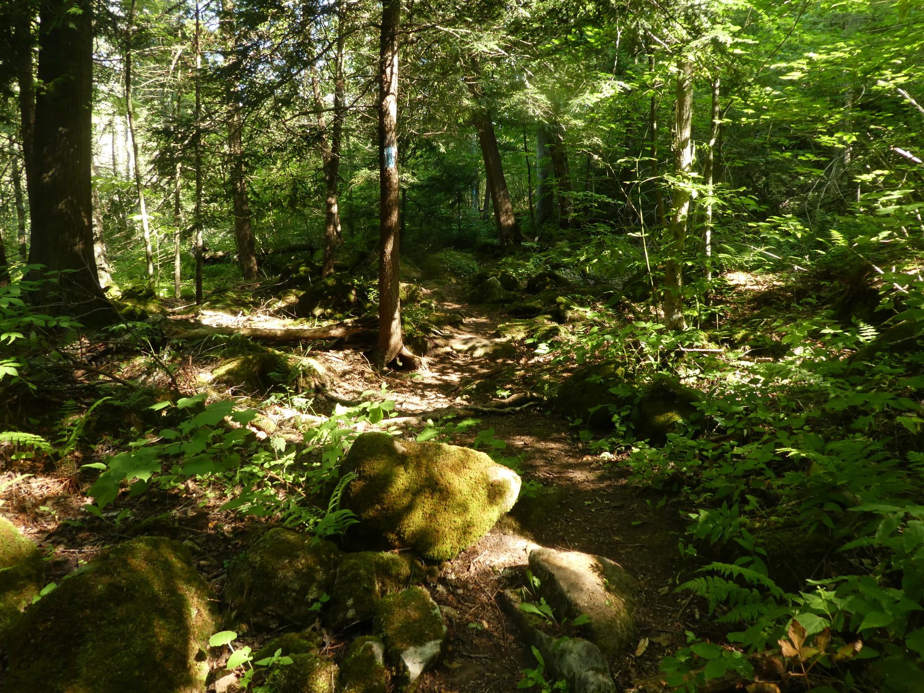
Silver Creek and Walking Fern
https://hikesstaging.brucetrail.org/event/silver-creek-and-walking-fern-2/Sorry, the registration cut-off time for this hike has been reached.Not a member? Click here to join today!Hosting Club: Iroquoia
Category: General Hike
Location (Google Maps): Meet roadside on Fallbrook Trail at 9:15 amHike Leader(s): Karen Bergmann Click here to contact Hike Leader(s)
Pace: Medium – 3 to 4 km/hr
Terrain: Moderate – Some hills and/or some poor footing
Distance: 9 kmsDescription
Meeting roadside on Fallbrook Trail at Silver Creek Conservation Area, we will hike the Irwin Quarry Side Trail to the main trail and to Tenth Line. We will then hike in and back on the Walking Fern Side Trail. A challenging trail for footwork but is well worth it. Then it’s back up the main trail to the Roberts Side Trail to the cars. This hike has some crazy rocky spots and a few hilly bits. Come with water and a snack. Hike is dependent on weather conditions.Car Hike: Scotsdale Farm
https://hikesstaging.brucetrail.org/event/car-hike-scotsdale-farm-9/Sorry, the registration cut-off time for this hike has been reached.Not a member? Click here to join today!Hosting Club: Toronto
Category: Car Hike
Location (Google Maps): Scotsdale Farm, Map 13Hike Leader(s): Al Brown Click here to contact Hike Leader(s)
Pace: Moderate (3-4 km/hr)
Terrain: Level 2 (Intermediate – some hills and uneven surfaces, rocks and roots underfoot), Variable
Distance: 10 kmDescription
We will complete a loop hike on the main and side trails across variable terrain that includes farmlands and forest. Trail conditions will reflect the season and weather conditions and could be a bit muddy. This hike is an easy level 2.After the hike those interested will meet for refreshments in Georgetown at the Sheppard’s Crook.
To get to the meeting point from Mississauga, go west on the 401 to Trafalgar Road. North on Trafalgar past Georgetown. Turn left onto Hwy 7 and continue north about 4 km to Silver Creek. Turn right at the stoplight and continue north on Trafalgar about 2 km to the entrance of Scotsdale Farm. The parking area is about half a km from the entrance.