
Hike Schedule
Join us for a hike! Registration required.
All hikes available to BTC members. Some hikes are open to non-members.
See Refund Policy for Paid Hikes >
TIP: The calendar view displays up to 7 hikes on a day, but often there are more. Click “View more events” to see them all.
Categories
- 02November 2, 2024
School Bus Hike: Dufferin Section E2E #1 of 4
https://hikesstaging.brucetrail.org/event/school-bus-hike-dufferin-section-e2e-1-of-4/Sorry, the registration cut-off time for this hike has been reached.Not a member? Click here to join today!Trip Information
Departure Time: 08:30
Return to City Time: 18:00
Departure Point: York Mills Bus PickupOptional Items
Hosting Club: Toronto
Category: Bus Hike
Location (Google Maps): Dufferin Hi-Land/Caledon Section Boundary to km 14.1Hike Leader(s): Tom Swales, Celia Ho Click here to contact Hike Leader(s)
Pace: Moderate (3-4 km/hr)
Terrain: Hilly, Level 2 (Intermediate – some hills and uneven surfaces, rocks and roots underfoot), Rocky, Variable
Distance: 14.1 kmDescription
Join us on the first four Saturdays of November on a series of bus hikes to complete the Dufferin Hi-Land section. Hikers who complete all four hikes may apply for the Dufferin Hi-Land Club’s pink rose E2E badge ($10.00 Members, $15.00 Non-Members) or their stained glass fundraiser Yellow Ladies Slipper badge ($30.00 – Members Only). The first hike in the series will take us from the Caledon/Dufferin Hi-Land section boundary and northwards 14.1 km through Mono Cliffs Provincial Park. Anyone is welcome to join one or more of the hikes even if not working on one of the E2E badges. For drivers who wish to meet us at the trailhead, four spots will be reserved – cost $10 includes return shuttle to meeting location – please email the hike leaders for details on how to register as Car Hike – priority for the four spots will be given to hikers intending to join all 4 hikes.Car Hike: Wilder Forest Uxbridge
https://hikesstaging.brucetrail.org/event/car-hike-wilder-forest-uxbridge-9/Sorry, the registration cut-off time for this hike has been reached.Not a member? Click here to join today!Hosting Club: Toronto
Location (Google Maps): 2499 Brock Road, Uxbridge, ON there is a free parking when you enter the road off brock road beside Horse training facility
Hike Leader(s): Mohammad Aghamiri Click here to contact Hike Leader(s)
Pace: Moderate (3-4 km/hr)
Terrain: Hilly, Variable
Distance: 14-15 kmDescription
We will explore Wilder forest and the beautiful scenery of Uxbridge forests.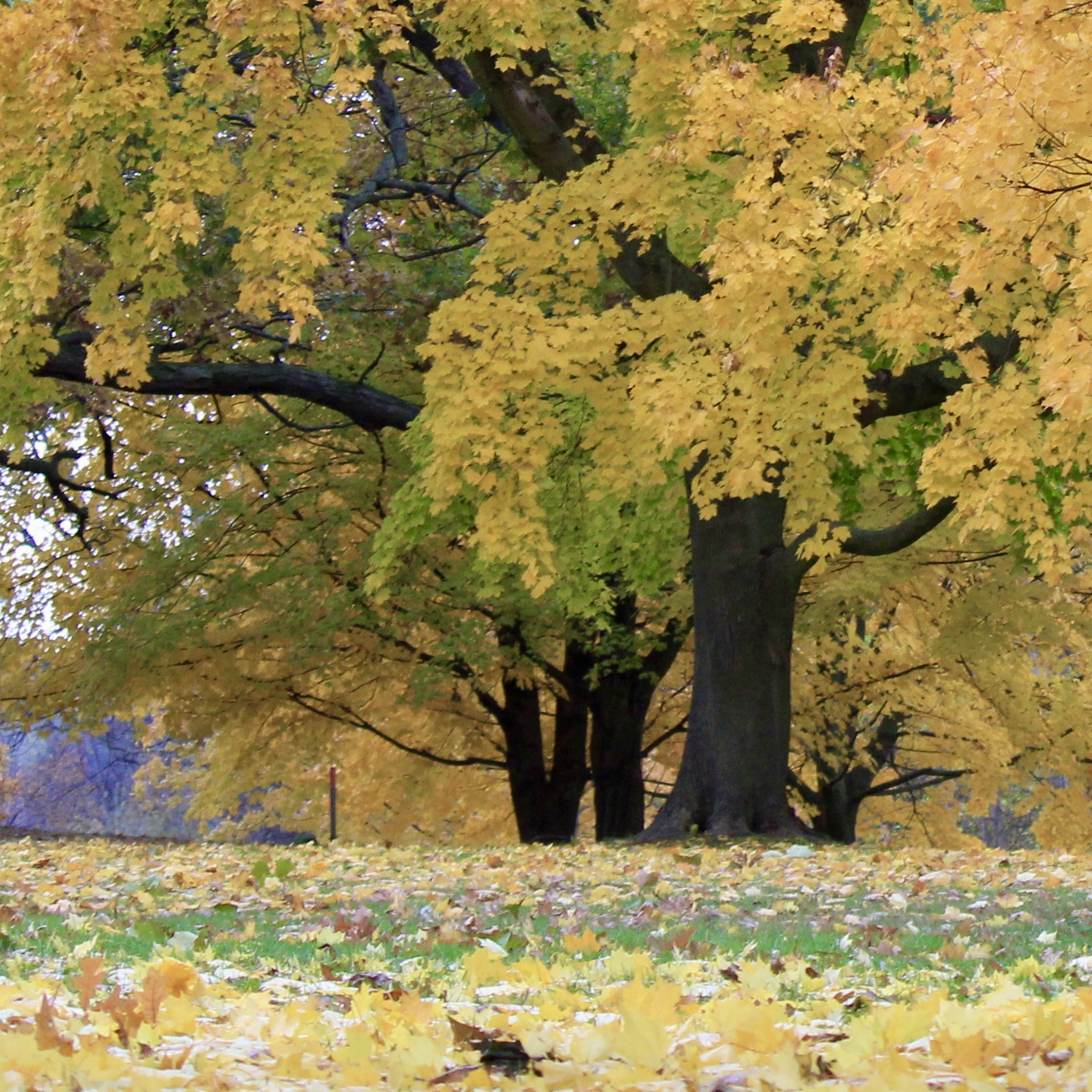
9:00am Niagara Shores Park Beachcoming Hike
https://hikesstaging.brucetrail.org/event/900am-niagara-shores-park-beachcoming-hike-2/Sorry, the registration cut-off time for this hike has been reached.Not a member? Click here to join today!Hike open to BTC Members only.
Hosting Club: Niagara
Category: Loop
Location (Google Maps):Corner of Niven Road and Lakeshore Road in Niagara-on-the-Lake. Park along Old Lakeshore Road.
Hike Leader(s): Suzanne Gourluck Click here to contact Hike Leader(s)
Pace: Leisurely
Terrain: Moderate
Distance: 5-6kmDescription
Explore a lakeshore park, shoreline and cliff top trail in Niagara-on-the-Lake. This beachcombing hike involves uneven ground, clambouring over fallen trees, a pebbly beach, sandy, wet and exposed areas. Hat, sunscreen and poles are highly recommended. Please note: This is not a maintained trail and some areas may have overhanging grass and shrubs.Balsam Wetlands to Glen Huron
https://hikesstaging.brucetrail.org/event/balsam-wetlands-to-glen-huron-4/Sorry, the registration cut-off time for this hike has been reached.Not a member? Click here to join today!Hosting Club: Blue Mountains
Category: Organized Hike
Location (Google Maps): Tim Hortons, First Street Collingwood, ONHike Leader(s): David Little Click here to contact Hike Leader(s)
Pace: Medium – 3 to 4 km/hr
Terrain: Moderate – Some hills and/or some poor footing
Distance: 12 kmDescription
This is a car shuttle hike. We will drive to and leave the cars on Station Street in Glen Huron and drive to km 37.4 (BTC parking lot off Cty.Rd. 91) to begin the hike. The trail winds its way through privately owned forest and farmland eventually coming to a viewing platform south of Cty. Rd. 124. The hike continues down into the valley and at km 30.6 we meet up with the Mad River Side Trail. Following the side trail parallel to the Mad River we continue on to the cars. Bring a snack or lunch and water.
9:00 Witch of Cave Spring Hike
https://hikesstaging.brucetrail.org/event/900-witch-of-cave-spring-hike-3/Sorry, the registration cut-off time for this hike has been reached.Not a member? Click here to join today!Hosting Club: Niagara
Location (Google Maps):
Parking lot Quarry Road Beamsville
Hike Leader(s): Angela Lytle Click here to contact Hike Leader(s)
Pace: Medium
Terrain: Moderate
Distance: 5 kmDescription
Enjoy a beautiful hike through the autumn woods and learn about local historical and mystical lore while searching for the Witch of Cave Spring.Complete this guided hike and count it towards the Screaming Tunnel Badge, more info on the badge requirements is here: https://niagarabrucetrail.club/badges/
Wearing a witch hat, while not required, is highly recommended!
Details:
This hike loops from Quarry Rd in Beamsville (limited parking, carpool if possible) along the Bruce Trail to Cave Spring Conservation area and back.
Note: The path to Cave Spring is quite rocky and has some hills. We recommend using hiking poles and wearing good hiking shoes is a must. Carry water and dress for changeable weather.
We will stop along the way at sites of interest and loop back to the car park on Quarry Rd. The loop is around 5 km. Please arrive by 8:50 to check in with the hike leader for departure at 9.

Saturday Shorts: Terra Cotta
https://hikesstaging.brucetrail.org/event/saturday-shorts-terra-cotta/Sorry, the registration cut-off time for this hike has been reached.Not a member? Click here to join today!Hike open to BTC Members only.
Hosting Club: Caledon Hills
Category: General
Location (Google Maps): Meet at 9:30 am at the roadside parking on Winston Churchill Blvd., where the Terra Cotta Side Trail (Caledon Trailway) crosses the road. This is south of the entrance to Terra Cotta Conservation Area.Hike Leader(s): Elizabeth Ganong Click here to contact Hike Leader(s)
Pace: Medium – 3 to 4 km/hour
Terrain: Easy – mostly flat and usually good footing, Moderate – some hills and/or some poor footing
Distance: Approximately 5 kmDescription
Looking to get out on a Saturday but not give up your whole day? Saturday Shorts, a hiking series, will get you out in a small group on a short hike. This Saturday’s hike is at Terra Cotta. We’ll hike the Terra Cotta Side Trail and a conservation trail to make a lollipop route that will be shorter than 5 km. Bring water and a snack, if desired. There will be a short break. No dogs please.