
Hike Schedule
Join us for a hike! Registration required:
All hikes available to BTC members. Some hikes are open to non-members.
TIP: The calendar view displays up to 7 hikes on a day, but often there are more. Click “More events” to see them all.
Categories
- 11October 11, 2024

Car Hike: Caledon E2E in 5 sections - 1 of 5
https://hikesstaging.brucetrail.org/event/car-hike-caledon-e2e-in-5-sections-1-of-5/Sorry, the registration cut-off time for this hike has been reached.Not a member? Click here to join today!Hosting Club: Iroquoia, Caledon Hills
Category: General Hike
Location (Google Maps): Meet and park at the Mono Community Centre (200 m south of Mono Centre (County Road 8)) near the end of the Caledon section, we carpool to km 61.3.Hike Leader(s): Susan Glofcheskie Click here to contact Hike Leader(s)
Pace: Medium – 3 to 4 km/hr
Terrain: Moderate – Some hills and/or some poor footing
Distance: 14 kmDescription
Join us for this Caledon E2E in 5 sections. Sign up for all 5 sections (to be entitled to the badge) or only the ones you are available for.Please bring 2 litres of water, a snack, bug spray, sunscreen, a personal first-aid kit and appropriate clothing. Hiking boots/shoes are mandatory and poles are suggested.
Please arrive by 8 am, so we can leave at 8:15 am to shuttle to our starting point.
Click on the Google link for directions to the meeting place.
Skinner’s Bluff and Bruce’s Caves
https://hikesstaging.brucetrail.org/event/skinners-bluff-and-bruces-caves-3/Sorry, the registration cut-off time for this hike has been reached.Not a member? Click here to join today!Hike open to BTC Members only.
Hosting Club: Sydenham
Category: General Hike
Location (Google Maps): At 8:30 am, we will meet at Bluewater campground in Wiarton, in front of the old train station and carpool from there. Parking spaces are limited at the trailhead.Hike Leader(s): Cindy Paczkowski Click here to contact Hike Leader(s)
Pace: Medium: 3 to 4 km/h
Terrain: Moderate: Some hills and/or poor footing, Strenuous: Hilly with steep climbs and some poor footing.
Distance: Approximately 10 kmDescription
Hike begins at the Gleason Lake parking on map 35. We head north on the Len Holley side trail then westward along Skinner’s Bluff into the Bruce’s Caves Conservation Area to investigate the caves and to explore the Colpoy’s Cavern side trail as well. We return back on the white blazed Bruce trail to the Curly Harnden Side trail back to the parking area. The hike will be just over 10 km long. The hike will be moderate to strenuous so please wear sturdy footwear. Pack a snack and water. We will carpool to the trailhead from the old train station in Wiarton.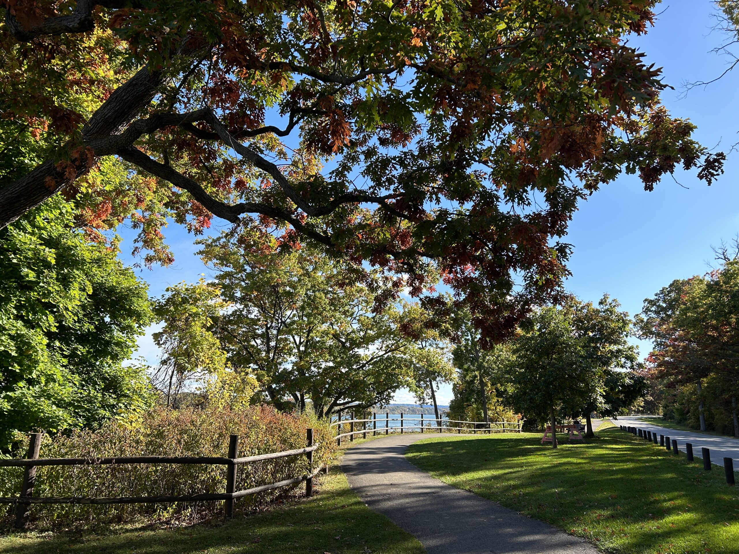
9:00 am Niagara-on-the-Lake Tour
https://hikesstaging.brucetrail.org/event/900-am-niagara-on-the-lake-tour-26/Sorry, the registration cut-off time for this hike has been reached.Not a member? Click here to join today!Hosting Club: Niagara
Category: Urban
Location (Google Maps):Veterans Memorial Park, park just outside the park on King Street
Hike Leader(s): Robin Garrett Click here to contact Hike Leader(s)
Pace: Medium
Terrain: Easy
Distance: 6-7 kmDescription
Each Friday we will explore different neighbourhoods, trails and parkland throughout Historic Niagara-on-the-Lake.Moderate pace with some weeks entirely on sidewalks and roads while others may include a mix of trails and paved pathways. Great way to build up endurance for longer more strenuous hikes.
Prepare for cooler windy conditions on open parkland and along Lake Ontario and Niagara River trails.
Plan to stay for conversation and a warm cup of coffee or tea at Sweets & Swirls, Community Centre, Niagara Stone Road, NOTL
Chuck & Pat Grant Side Trail & Main Trail Loop
https://hikesstaging.brucetrail.org/event/chuck-pat-grant-side-trail-main-trail-loop/Sorry, the registration cut-off time for this hike has been reached.Not a member? Click here to join today!Hosting Club: Beaver Valley
Location (Google Maps): Meet in the Metcalfe Rock parking lot on 10th Line, just south of km 27.9, Map 25, Edition 31
Hike Leader(s): Glenda Collings Click here to contact the hike leader.
Pace: Medium
Terrain: Moderate, Some rocky footing, Some steep sections, Strenuous
Length of Hike: 9 kmDescription
We will be hiking a popular loop, taking in Metcalfe Rock, Mill Creek, Pinnacle Rock, and Duncan Crevices. Please bring water and a snack and dress for the weather. The fall colours should be great.COVID-19 Precautions Before, During and After your Hike
- Each hiker joining a Bruce Trail Club organized hike must perform a self-screening check before hiking.
Find Ontario’s self-assessment tool here: https://covid-19.ontario.ca/self-assessment/ - If you are experiencing COVID-19 symptoms, stay home.
Other Guidelines
- Arrive 15 minutes before the start of the hike.
- Wear sturdy footwear and appropriate attire for the weather and the terrain.
Hiking poles are a good idea in any season, especially if the terrain is rocky or slippery. In winter, snowshoes or icers/crampons are needed when conditions dictate.
Wearing appropriate clothing and footwear prevents injuries and shows consideration for a safe and positive group hiking experience. - Always carry I.D. and your health card.
- Bring sufficient water and snacks (or lunch if indicated). A minimum of 1L of water is recommended on all hikes, and 3L is recommended for long, challenging hikes in the heat of the summer.
- Bring sunscreen and insect repellent (for spring and summer hikes).
- Bring your own first aid kit.
- Please leave dogs at home.
- Each hiker joining a Bruce Trail Club organized hike must perform a self-screening check before hiking.