
Hike Schedule
Join us for a hike! Registration required.
All hikes available to BTC members. Some hikes are open to non-members.
See Refund Policy for Paid Hikes >
TIP: The calendar view displays up to 7 hikes on a day, but often there are more. Click “View more events” to see them all.
Categories
- 14January 14, 2024

Caledon End to End in 4 Days - January 14, 17, 21, 24 (Save January 25 in case of inclement weather)
https://hikesstaging.brucetrail.org/event/caledon-end-to-end-in-4-days/Sorry, the registration cut-off time for this hike has been reached.Not a member? Click here to join today!Hike open to BTC Members only.
This is a Multi-Day Hike
You are signing up for the following dates:
2024-01-14, 2024-01-17, 2024-01-21, 2024-01-24Hosting Club: Iroquoia, Caledon Hills
Category: Special Event
Location (Google Maps): Caledon End to End in 4 Hikes – If one day has to be cancelled for inclement weather, the snow date will be January 25Hike Leader(s): Ruth Moffatt Click here to contact Hike Leader(s)
Pace: Brisk – 4 to 5 km/hr, Medium – 3 to 4 km/hr
Terrain: Dependent on Conditions, Moderate – Some hills and/or some poor footing, Strenuous – Hilly with steep climbs and some poor footing
Distance: The distance will be approximately 20km per dayDescription
Are you ready for some winter hiking? This group hike will be held over 4 days (2 Sundays and 2 Wednesdays) and will qualify you for the new Caledon 60th Anniversary badge as well as their new ETE badge and the Frosty Five Winter Badge. That’s three badges for one end to end. Caledon club is very generous to hikers! 😊
$10 for each badge for members.Conditions may be difficult due to snow fall and/or icy conditions. You will need to bring icers for every outing and possibly snow shoes. Please ensure you are physically able to hike in possibly severe conditions and deep snow. Please be prepared to share in cutting trail, if needed.
Please dress in layers according to the weather forecast. Bring enough food and water for a long day of hiking. This is a car shuttle hike – please be prepared to share in the shuttling either to the hike start or driving the drivers back at the end of day.
Please arrive at the meeting spot at least 15 minutes ahead of time.
Snow/inclement weather date will be January 25 or you can make any missed days when it is convenient for you.
A schedule will be sent to all registered participants about a week prior to our start date.
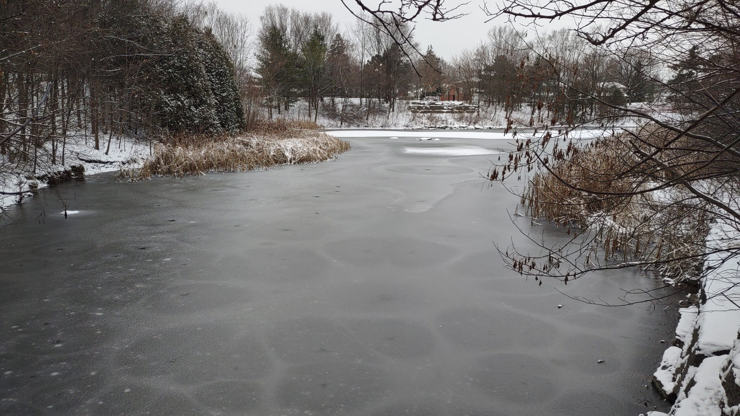
Urban Walk; Wincott Wetland and Humber Creek to Scarlett Woods Golf Course via Humber River East Side
https://hikesstaging.brucetrail.org/event/urban-walk-wincott-wetland-and-humber-creek-to-eglington-flats-via-humber-river-east-side/Sorry, the registration cut-off time for this hike has been reached.Not a member? Click here to join today!Hosting Club: Toronto
Category: Urban Walk
Location (Google Maps): 125 metres west of Dixon Road & Islington Avenue intersection, south side at entrance to Wincott Park. If arriving early, meet me at the Tim Hortons inside the No Frills Plaza SE corner at 10 am to use the washrooms and to stay warm. We will leave the Tim Hortons at 10:20 to walk to Winicott Park entrance. If driving to the hike, park on Northcrest Road, assessable via Fenley Dr and Poynter Dr from Islington Ave. Follow the path around the pond to the entrance of the park at Dixon Road to meet the group. Transit users can come either via Islintgton Bus 37 from Islington Subway running every 11 minutes or via Lawrence West Bus 52 to Pearson Airport running every 12 minutes.Hike Leader(s): Andrew Proczek Click here to contact Hike Leader(s)
Pace: Moderate
Terrain: Flat, Variable
Distance: 11.5 kmDescription
Come join me for an original TBTC hike between two wetlands as we hike along Humber Creek, from Etobicoke eastward to the Humber River and Emmett Falls. To begin we’ll hike around Wincott Wetland and visit Briarcrest Manor which bore witness to the fall of the Avro Arrow during the Diefenbaker Era, a mystery speculated on to this day. From Emmett Falls we will hike north through Raymore Park, then across the Humber and South along Weston and Denison Roads and through Denison Park, St. John’s Cemetery on the Humber and along the trail to Scarlett Woods Golf Course. Jane St and Eglington Avenue, at roughly the 11.5 km mark, will be the official end of the hike. A 1.3 km loop extension into Eglington Flats and around Topham Pond will be offered on a repeat hike and on a warmer day.
Public Washrooms and warm-up facilities available at Valleyfield Rink (The West Way) at 3 km; and at the end of the hike at Scarlett Woods Golf Course Club House at 11 + km.
Dropouts available at various points during the hike with easy access to the TTC.
The route: https://onthegomap.com/s/brlhsnsh
Sunday Social Hike - Snowshoe in the Derby Forest
https://hikesstaging.brucetrail.org/event/sunday-social-hike-snowshoe-in-the-derby-forest/Sorry, the registration cut-off time for this hike has been reached.Not a member? Click here to join today!Hosting Club: Sydenham
Category: Snowshoe Hike
Location (Google Maps):Parking at the north end of Georgian Bluffs Concession 3 Derby, north of km 98.7 (Map 32)
Hike Leader(s): Bill Snel Click here to contact Hike Leader(s)
Pace: Leisurely: 3 km/h or less
Terrain: Easy: Mostly flat and good footing.
Distance: 5 kmDescription
We will snowshoe one of the 3 trails that vary between 2 and 5 km depending on conditions. For more information contact Bill Snel at w.snel2@gmail.com or call landline (519) 470-0584. If unable to register phone the hike leader. For those with the Exploring Sydenham book, this is loop 26 but does not have any secrets.