
Hike Schedule
Join us for a hike! Registration required.
All hikes available to BTC members. Some hikes are open to non-members.
See Refund Policy for Paid Hikes >
TIP: The calendar view displays up to 7 hikes on a day, but often there are more. Click “View more events” to see them all.
Categories
- 17September 17, 2023
Niagara E2E #4: Louth Conservation Area to Quarry Road
https://hikesstaging.brucetrail.org/event/niagara-e2e-4-louth-conservation-area-to-quarry-road/Sorry, the registration cut-off time for this hike has been reached.Not a member? Click here to join today!Hike open to BTC Members only.
Hosting Club: Dufferin Hi-Land
Category: General Hike
Location (Google Maps): Where the Bruce Trail crosses Quarry Road at km 67.9 BTC Map 4. Just north of Quarry Road and Fly Road (County Road 73).Hike Leader(s): Stuart Law Click here to contact Hike Leader(s)
Pace: Medium
Terrain: Moderate, Slippery and Steep Sections, Slippery Sections Likely
Distance: 16 kmsDescription
Join us on a shuttle hike on the main trail taking in Balls Falls in the Jordan Valley and Cave Springs. Slippery muddy sections guaranteed. Please bring a garbage bag and an extra set of footwear for the ride back. Please also bring 3L of water, a snack, a lunch, bug spray and sunscreen.
Car Hike: Toronto in 6 (New FundRaising Badge: $30/BTC member; $40/non-member)
https://hikesstaging.brucetrail.org/event/car-hike-toronto-in-6-new-fundraising-badge-30-btc-member-40-non-member/Sorry, the registration cut-off time for this hike has been reached.Not a member? Click here to join today!This is a Multi-Day Hike
You are signing up for the following dates:
2023-09-17, 2023-10-01, 2023-10-15, 2023-10-29, 2023-11-12, 2023-11-26Hosting Club: Toronto
Category: Car Hike
Location (Google Maps): For our first hike, we will meet at the parking area on St. Helena Road (km 8.9 on Map 12 of the Bruce Trail Reference Guide, Edition 30) and then do a car shuttle to the Hilton Falls Conservation Area parking lot.Hike Leader(s): Monica Pasquali Click here to contact Hike Leader(s)
Pace: Moderate
Terrain: Rocky, Variable
Distance: 8-11 km per hikeDescription
Registered hikers will earn the new Toronto stained-glass badge!!!You are registering for all six days of this hike series: September 17; October 1 and 15 and 29; and November 12 and 26.
Hikers need to complete all six hikes with the leader. Hikers are permitted to miss one of the six hikes due to unforeseen circumstances; if this happens, they will make up the hike on their own so they can still qualify for the badge. Please keep a log of the missed hike and give it to the leader on the last day of the series.
The fee for this hike series goes towards supporting the Toronto Bruce Trail Club, which in turn supports the mission of the Bruce Trail Conservancy in “preserving a ribbon of wilderness, for everyone, forever”.
This hike is intended to be MODERATE (3-4 km per hour). Please, register only if you are capable of sustaining this pace over varied/rocky terrain for a distance of 8-11 km.
Hikers are expected to follow COVID-19 guidelines and stay home if they have symptoms.
We will be doing car shuttles in order to complete this hike series – please be prepared to participate in these car shuttles. Hikers may choose to wear masks during the car shuttles. Hike #1 will involve $$ unless you have a Halton Conservation Pass. The cost will be shared equally by participants.
Please arrive 15 minutes early to be ready for a 10:00 am departure. You should wear sturdy footwear and appropriate clothing for the weather, and ensure you bring your ID cards, enough water and food for the entire hike, and sun and bug protection.
- 18September 18, 2023
9:00 Fonthill Loop
https://hikesstaging.brucetrail.org/event/900-fonthill-loop/Sorry, the registration cut-off time for this hike has been reached.Not a member? Click here to join today!Hosting Club: Niagara
Category: Loop
Location (Google Maps): Harold Black Park, 953 Haist St. FonthillHike Leader(s): Debbie Demizio Click here to contact Hike Leader(s)
Pace: Medium
Terrain: Easy
Distance: Approx 5KmsDescription
This is a leisurely walk on the Steve Bauer Trail and urban sidewalks. - 19September 19, 2023
8:00 Long Hike Wiley Road Short Hills
https://hikesstaging.brucetrail.org/event/800-long-hike-wiley-road-short-hills-32/Sorry, the registration cut-off time for this hike has been reached.Not a member? Click here to join today!Hosting Club: Niagara
Location (Google Maps):
Short Hills Wiley Road Entrance
Pace: Medium
Terrain: Moderate
: 10kmDescription
Explore Short Hills and the majestic side trails of Scarlett Tanager, Hemlock. Swayze Falls and Terrace. Register for each hike
Bring Poles water, snack, sunscreen and bug spray and dress for the weather
Car Hike: Sydenham End to End 3 of 8
https://hikesstaging.brucetrail.org/event/car-hike-sydenham-end-to-end-3-of-8/Sorry, the registration cut-off time for this hike has been reached.Not a member? Click here to join today!Hike open to BTC Members only.
Hosting Club: Toronto
Category: Car Hike
Location (Google Maps): We will meet at km 64.9, GPS co-ordinates N44.592032, W80.793507 on Irish Block Rd. Roadside parking is available about 450m north of Hwy 26, where the main trail goes off the road to the east.Hike Leader(s): Jacqueline Van Dyke Click here to contact Hike Leader(s)
Pace: Brisk
Terrain: Hilly, Variable
Distance: 23kmDescription
This is the third hike of eight in a Sydenham End to End series. On this hike, we will hike through the Bayview Escarpment Provincial Nature Reserve and along country roads back to our vehicles on Irish Block Rd.Please ensure you arrive prior to 8:15 to be ready for an 8:30 departure. This is a car shuttle hike so be prepared to participate in the shuttle, either as the driver or a passenger. In this series, participants are expected to share equally in the driving of the car shuttle. All Covid – 19 protocols will be followed.
Please check the weather the morning of or, the night before, and dress accordingly. Bring enough water, snacks, and lunch to last the entire hike.
9:15 Short Hike - Pelham Road, Short Hills
https://hikesstaging.brucetrail.org/event/915-short-hike-pelham-road-short-hills-60/Sorry, the registration cut-off time for this hike has been reached.Not a member? Click here to join today!Hosting Club: Niagara
Location (Google Maps): Pelham Road entrance, Short Hills Provincial Park
Hike Leader(s): janet davey Click here to contact Hike Leader(s)
Pace: Medium
Terrain: Moderate
Distance: 6 kmsDescription
Hike the main and side trails of Short Hills Provincial Park. Bring water and bug spray.Massie Hills
https://hikesstaging.brucetrail.org/event/massie-hills-2/Sorry, the registration cut-off time for this hike has been reached.Not a member? Click here to join today!Hosting Club: Sydenham
Category: General Hike
Location (Google Maps): Meet on the West side of 6th Concession South, between Sideroad 6 and Sideroad 3, north of Km 22.8 (Map 29) We will meet at the sign for the Massie Hills Cross Country Ski Trails.Hike Leader(s): Fran Turner Click here to contact Hike Leader(s)
Pace: Medium: 3 to 4 km/h
Terrain: Moderate: Some hills and/or poor footing
Distance: approximately 8 kmDescription
This is a relaxing forest hike through the rolling hills of the Massie Management area. We will start on the Bruce Trail and include parts of the Spey River Forest Side Trail and the cross-country ski trails to make a loop. The walking is mostly easy, but there are a few steep hills. If it has rained recently, there may be some muddy areas so please ensure waterproof footwear.
Sydenham Chipper (km158.1-km145.3)
https://hikesstaging.brucetrail.org/event/sydenham-chipper-km158-1-km145-3/Sorry, the registration cut-off time for this hike has been reached.Not a member? Click here to join today!Hosting Club: Beaver Valley
Location (Google Maps): Roadside parking on Colpoy’s Range Rd. Do not park in the gateway or the loading ramp.
Map 34 ED 30
Km 158.1Hike Leader(s): Kristina Rettie Click here to contact the hike leader.
Pace: Brisk
Terrain: Some rocky footing, Some steep sections, Strenuous
Length of Hike: 12.8kmDescription
Please join us as we chip away through the Sydenham section. This will be a series of 11 hikes that range between 13-19kms with one longer hike of 24km. We will begin our journey at the northern end of Sydenham and work our way south to try and avoid the dangers the falling leaves and snow will bring.If you complete the 11 hikes in this series you will qualify for Sydenham’s new independent badge. Please keep track of your hikes as each hiker will be submitting their own badge request.
All hikes in this series will include a car shuttle and everyone will take a turn as a shuttle driver. Please have your vehicle passenger ready.
Sept 19 hike – meet @km158.1 carpool to 145.3
If you have any questions please text me @ 519-410-9077 (this is the most efficient way)
Please bring plenty of water and snacks/lunch
No dogs
Please text Kristina @ 519-410-9077 for morning of cancelations
COVID-19 Precautions Before, During and After your Hike
- Each hiker joining a Bruce Trail Club organized hike must perform a self-screening check before hiking.
Find Ontario’s self-assessment tool here: https://covid-19.ontario.ca/self-assessment/ - If you are experiencing COVID-19 symptoms, stay home.
Transportation
It is the Bruce Trail Conservancy’s current policy that car shuttles are allowed. It is at the discrepancy of individual hike leaders to make that decision.
Other Guidelines
- Arrive 15 minutes before the start of the hike.
- Wear sturdy footwear and appropriate attire for the weather and the terrain.
Hiking poles are a good idea in any season, especially if the terrain is rocky or slippery. In winter, snowshoes or icers/crampons are needed when conditions dictate.
Wearing appropriate clothing and footwear prevents injuries and shows consideration for a safe and positive group hiking experience. - Always carry I.D. and your health card.
- Bring sufficient water and snacks (or lunch if indicated). A minimum of 1L of water is recommended on all hikes, and 3L is recommended for long, challenging hikes in the heat of the summer.
- Bring sunscreen and insect repellent (for spring and summer hikes).
- Bring your own first aid kit.
- Please leave dogs at home.
- Each hiker joining a Bruce Trail Club organized hike must perform a self-screening check before hiking.
- 20September 20, 2023
Beaver Valley - Falling Water #1 of 2 hikes
https://hikesstaging.brucetrail.org/event/beaver-valley-falling-waters-1-of-3-hikes/Sorry, the registration cut-off time for this hike has been reached.Not a member? Click here to join today!Hosting Club: Blue Mountains
Category: Register on-line or sign-in morning of hike
Location (Google Maps): Hike meets in the parking lot behind Tim Hortons on First St. in Collingwood.Hike Leader(s): Hart Fischer Click here to contact Hike Leader(s)
Pace: Brisk – 4 to 5 km/hr, Medium – 3 to 4 km/hr
Terrain: Moderate – Some hills and/or some poor footing, Strenuous – Hilly with steep climbs and some poor footing
Distance: 14kmDescription
Log both hikes to earn the Falling Water badge from BVBTC.
We will drive our cars and park at km 67.5 at Hoggs Falls on the Lower Valley Road in the Beaver Valley section. We will then shuttle to Beaver Valley Ski Club lower parking lot off Grey Road 30 to begin the hike. Following the Valley Crossover Side Trail west to the white blazed trail at km 79.5, we continue south down the west side of the valley to Hoggs Falls. At km 73.6 we will have the opportunity to take the Stew Hilts Side Trail and view a lovely waterfall from the base. Bring a lunch and water.Car Hike: Sydenham End to End 4 of 8
https://hikesstaging.brucetrail.org/event/car-hike-sydenham-end-to-end-4-of-8/Sorry, the registration cut-off time for this hike has been reached.Not a member? Click here to join today!Hike open to BTC Members only.
Hosting Club: Toronto
Category: Car Hike
Location (Google Maps): We will meet at km 89.2 on the west side of Hwy 6 & 10 at the top of the hill above Owen Sound (GPS N44.558005, W80.925858)Hike Leader(s): Jacqueline Van Dyke Click here to contact Hike Leader(s)
Pace: Brisk
Terrain: Hilly, Variable
Distance: 25kmDescription
This hike is number 4 of 8, of a Sydenham End to End series. We’ll hike through the Sydenham Forest East, past the Polish Tree, through the KOA, and Boyd’s Crevices, along country roads and a bit of Hwy 26.Please ensure you arrive prior to 8:15 to be ready for an 8:30 departure. This is a car shuttle hike so please be prepared to take a turn driving hikers to our starting point. All Covid protocols will be followed.
Please check the weather the night before or, the morning of the hike and dress accordingly. Bring enough water, snacks, and lunch to last the entire day.
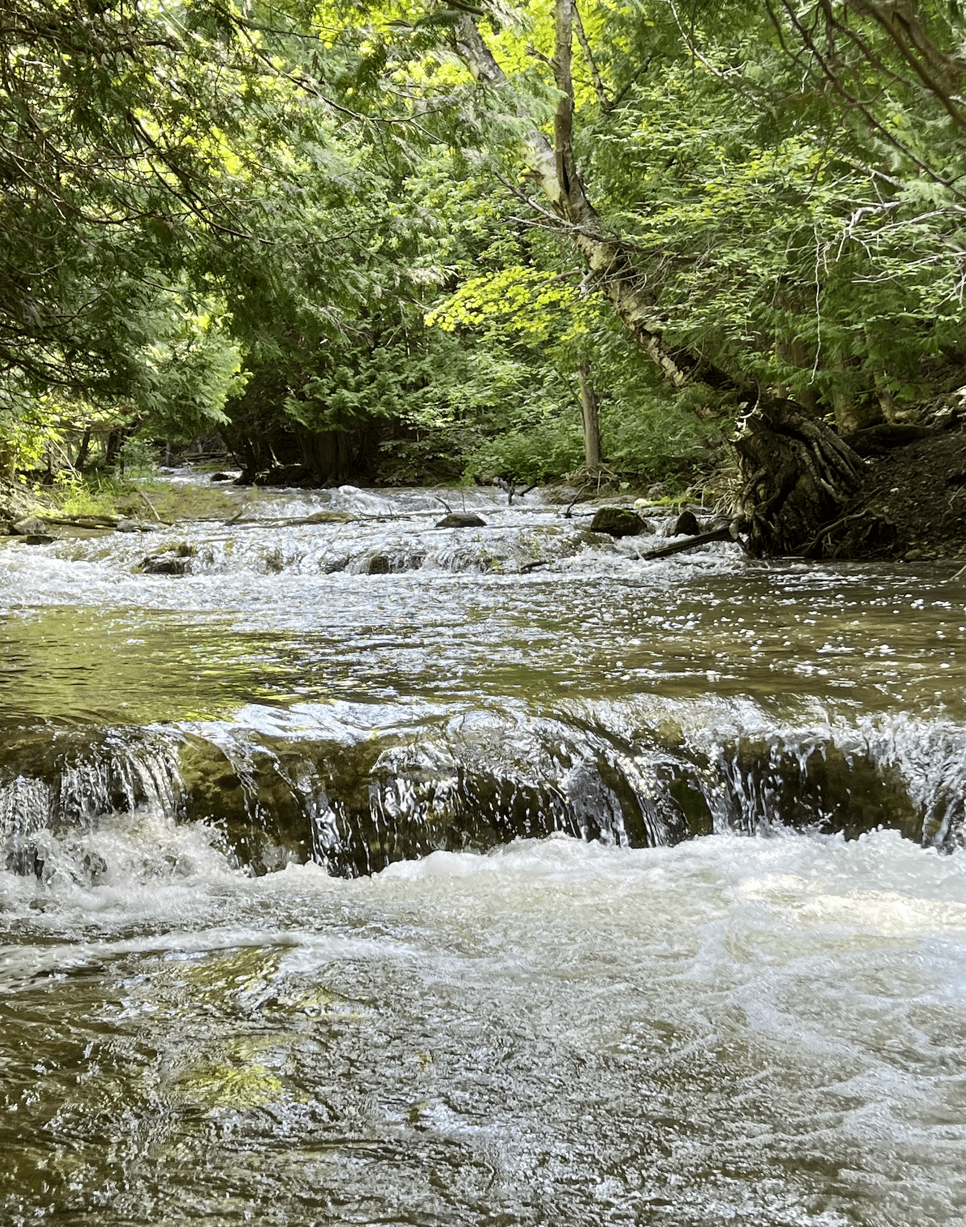
WEDNESDAY WALKERS - Around Eugenia
https://hikesstaging.brucetrail.org/event/wednesday-walkers-around-eugenia/Sorry, the registration cut-off time for this hike has been reached.Not a member? Click here to join today!Hosting Club: Beaver Valley
Location (Google Maps): Meet at the end of North Street in Eugenia. Km 58.3, map 26, Edition 31. Park on the south side of the street facing east.
Hike Leader(s): Glenda Collings Click here to contact the hike leader.
Pace: Medium
Terrain: Moderate, Some steep sections
Length of Hike: 5.8 kmDescription
This hike route quickly enters a wooded area on Valley slope. There will be plenty of up-and-down walking until we reach Eugenia Falls Conservation Area. This is a scenic section of Trail, walking along the side of the Beaver River, crossing the river and walking along more riverside. There are old structures still in place that show some of the early history of development in the area. Hikers will see a good view of the high Eugenia Falls. This hike is a there-and-back route.Niagara Glen Short and Sassy
https://hikesstaging.brucetrail.org/event/niagara-glen-short-and-sassy/Sorry, the registration cut-off time for this hike has been reached.Not a member? Click here to join today!Hosting Club: Iroquoia
Category: Good Companions
Location (Google Maps): Niagara Glen, 3050 Niagara Parkway, Niagara-on-the-Lake, ONHike Leader(s): Craig Sim Click here to contact Hike Leader(s)
Pace: Leisurely – 3km/hr or less
Terrain: Moderate – Some hills and/or some poor footing
Distance: 4-5k (approximate)Description
Loop hike in beautiful Niagara Glen, NOT using Whirlpool Trail. We meet in between Niagara Glen parking lot and building near lot. Pay parking or Niagara parks pass. Trail ranges from moderate to quite rocky, has hills and stairs. Watch footing. Lots of boulders and great views close to Niagara River. We descend steel stairs before and after hike. Wear hiking boots or shoes. Bring water, snack, appropriate layered clothing for the weather and rain gear. Keep in mind that if you find 4-5k a short hike, you can stroll along paths immediately adjacent up top after, or drive to Niagara Falls and stroll more there. Niagara Glen is close to both Butterfly Conservatory and Floral Clock. To cancel on day of hike text cell #289-659-0007 day of hike only.