
Hike Schedule
Join us for a hike! Registration required.
All hikes available to BTC members. Some hikes are open to non-members.
See Refund Policy for Paid Hikes >
TIP: The calendar view displays up to 7 hikes on a day, but often there are more. Click “View more events” to see them all.
Categories
- 19August 19, 2023
Car Hike: Rouge National Park Toronto
https://hikesstaging.brucetrail.org/event/car-hike-rouge-national-park-toronto-5/Sorry, the registration cut-off time for this hike has been reached.Not a member? Click here to join today!Hosting Club: Toronto
Category: Car Hike
Location (Google Maps): Please park at parking lot in Zoo Road beside the trail headHike Leader(s): Mohammad Aghamiri, Amir Alemohammad Click here to contact Hike Leader(s)
Pace: Moderate
Terrain: Variable
Distance: 14-15 KMDescription
Will explore Toronto part of Rouge park along Rouge river and Little Rouge Creek,Some safety procedures during the hike:
1-Hikers must stay between the leader and the sweep.
2-Hikers must advise the leader or the sweep if they wish to leave the group.
3- Hikers must follow the whistle instructions: 1 blast- stay where you are; 2 blasts come to the leader; 3 blasts – come to the leader quickly.
4-Hike leader may request volunteers to stop at trail intersections, they need to help hikers to the direction the group walk and wait till they see the sweep .
5-Hikers have to make sure they can see the persons behind and in front of them.
Looping through Sydenham #4 in 9
https://hikesstaging.brucetrail.org/event/looping-through-sydenham-4-in-9/Sorry, the registration cut-off time for this hike has been reached.Not a member? Click here to join today!Hosting Club: Blue Mountains
Category: Organized Hike
Location (Google Maps):Hike Leader(s): Linda Finley Click here to contact Hike Leader(s)
Pace: Medium – 3 to 4 km/hr
Terrain: Moderate – Some hills and/or some poor footing
Distance: 10.7kmDescription
Start time: 8:30AM Rock Spring-KOA Side Trail, Boyd Crevice, Palisades Side Trail, Merle Gunby Side Trail, East Linton Side Trail and Frank Holley Side Trail. 4 of 9 hikes. Hikers meet at trailhead at 8:30AM. Contact leader to confirm exact location of meeting.Rush Cove - Jackson Cove Loop
https://hikesstaging.brucetrail.org/event/rush-cove-jackson-cove-loop/Sorry, the registration cut-off time for this hike has been reached.Not a member? Click here to join today!Hosting Club: Peninsula
Location (Google Maps): Rush Cove Parking Lot Map 37
Hike Leader(s): Barbara Reuber Click here to contact Hike Leader(s)
Pace: Medium
Terrain: Moderate
Distance: 12.4 kmDescription
We will hike along the main trail from Rush Cove to Jackson’s Cove and return via side trails – Cannon ST; Jackson’s Cove ST; Pease ST; Shoreline Access ST and Rush Cove ST.Wear sturdy shoes and bring sunscreen, water and lunch. Expect to finish around 13:00, depending on the speed of the group.
9:00 Firemans Park to Woodend Loop
https://hikesstaging.brucetrail.org/event/900-firemans-park-to-woodend-loop-2/Sorry, the registration cut-off time for this hike has been reached.Not a member? Click here to join today!Hosting Club: Niagara
Category: Loop
Location (Google Maps): Upper parking lot of Firemen’s Park, corner of Dorchester and Mountain Rds,
Niagara Falls. 43°08’19.1″N 79°06’52.5″W 43.138641, -79.114576 Map 2Hike Leader(s): Sam Rutherford Click here to contact Hike Leader(s)
Pace: Brisk
Terrain: Moderate
Distance: 15kDescription
Loop Hike on the trail to Woodend and backUrban Hike: Nokiidaa Trail/Newmarket
https://hikesstaging.brucetrail.org/event/urban-hike-nokiidaa-trail-newmarket-2/Sorry, the registration cut-off time for this hike has been reached.Not a member? Click here to join today!Hosting Club: Toronto
Category: Urban Walk
Location (Google Maps):East Gwillimbury GO Station (outside station building)
Hike Leader(s): Tom Swales Click here to contact Hike Leader(s)
Pace: Moderate
Terrain: Challenging, Flat
Distance: 9Description
We will hike south from East Gwillimbury GO Station to Fairy Lake and historic Main Street in Newmarket. We will pass the remains of a swing railway bridge, the remains of an abandoned canal, and a diverse landscape. The walking is easy south on this Level 1 Hike to Fairy Lake where we loop around the lake with a scenic boardwalk trail on the east side and paved path leading into the historic downtown of Newmarket. We’ll stop in the historic downtown for refreshments at the Old Flame Brewery or alternative establishments and walk up Main Street to get the 2:50 train back towards Toronto’s Union Station.We will take advantage of the GO Transit $10 Day Weekend Pass available only on smartphones. Those without a smart phone may purchase the pass from the Hike Leader at Union Station the morning of the hike. Those wishing to travel together will meet at Union Station in the Great Hall by the information desk (with the clock over it) to take the GO Train towards Barrie departing at 8:53 AM.
ROUTE MAP: https://onthegomap.com/s/507cjskh
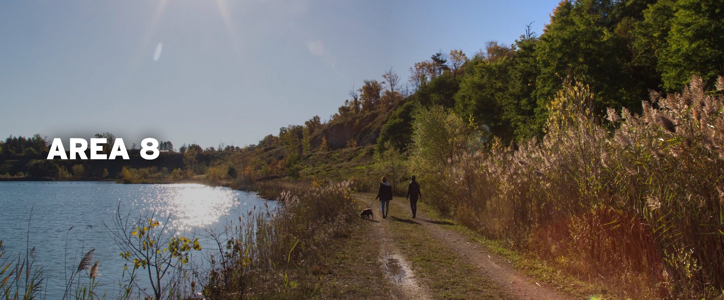
CANCELLED-Wetlands in Focus -Area 8 Nature Reserve Milton
https://hikesstaging.brucetrail.org/event/wetlands-in-focus-area-8-nature-reserve-milton/Sorry, the registration cut-off time for this hike has been reached.Not a member? Click here to join today!Hosting Club: Iroquoia
Category: Education Hike
Location (Google Maps): Area 8 Conservation Halton Preserve 5437 Steeles Ave W MiltonHike Leader(s): Bronwen Tregunno Click here to contact Hike Leader(s)
Pace: Leisurely – 3km/hr or less
Terrain: Moderate – Some hills and/or some poor footing
Distance: 4-5 kmDescription
CANCELLED Due to changes in availability this hike has been cancelled. Join Logan Mercier, Conservation Halton, Landowner Outreach and Restoration Project Team member for a informative tour of the newly acquired and restored nature preserve formerly known at Kelso Quarry. More information is available at https://www.conservationhalton.ca/parks/area-8/ MINIMUM 5 participants for hike to proceed. We will meet at the parking lot and we are working on free parking for attendees. Donations to CH appreciated to support their many projects. If you have a Conservation Halton annual pass, please bring it. BTC members get discount on annual membership. As an education walk there will be a number of stops where Logan will explain the restoration process. There will be lots of opportunities for questions. Bring snack, water, personal first aid kit, sun protection and be prepared for biting insects including ticks. Note there are no facilities here. Hiking boots recommended. Bring binoculars if you have them. For more information please contact hike leader Bron brontreg@cogeco.ca In case you need to cancel the day of please text me with your name at 905-334-4013 Please arrive by 9:45 AM so I can check off your name and we can start the hike promptly at 10 AM. CANCELLED in inclement weather. - 20August 20, 2023
Car Hike: Rock Chapel and Borer's Falls
https://hikesstaging.brucetrail.org/event/car-hike-rock-chapel-and-borers-falls/Sorry, the registration cut-off time for this hike has been reached.Not a member? Click here to join today!Hosting Club: Toronto
Category: Car Hike
Location (Google Maps): Km 65.8 Map 9. From Hwy 403 drive north on Hwy 6 for 1 km then exit at York Rd. Go west on York Rd. 1/2 km and turn right at Old Guelph Rd. After 1 km Old Guelph Rd makes a left turn and then a right turn. Turn right and follow 200m to parking at dead end.
OR, from Clappison’s Corners (Hwy 5 & 6) drive south on Hwy 6 for 2 km to exit at York Rd. then turn right at Old Guelph Rd as described above.
(Note: You want “York Rd” not “York Blvd” which is further south). My phone number is 905-301-4091.
N 43.307417, W 70.911580390-398 Old Guelph Rd, Pleasant View, Dundas, Ontario
Hike Leader(s): Peter Leeney Click here to contact Hike Leader(s)
Pace: Moderate
Terrain: Hilly, Rocky
Distance: 12 kmDescription
We will hike west on the Main Trail through the Rock Chapel and Borer’s Falls areas to the lookout at Sydenham Rd. Return by the same route.Toronto Urban Badge Hike - 7 of 7
https://hikesstaging.brucetrail.org/event/toronto-urban-badge-hike-7-of-7-2/Sorry, the registration cut-off time for this hike has been reached.Not a member? Click here to join today!Hosting Club: Toronto
Category: Urban Walk
Location (Google Maps): TorontoHike Leader(s): Brian Rideout Click here to contact Hike Leader(s)
Pace: Moderate
Terrain: Flat
Distance: 9 kmDescription
Please join me at the south east corner of Overlea Blvd and Don Mills Rd by 10 AM. We will hike south on the Don Trail to the Distillery District (km 62.4 to km 71.4). Here is an online map with km markings of our route for all 7 hikes for the Toronto Urban Badge.Please make sure you bring at least 2 liters of water, a lunch, bug spray and sunscreen.
Sunday Social Hike - Skinners Bluff loop and Slough of Despond loop
https://hikesstaging.brucetrail.org/event/sunday-social-hike-skinners-bluff-loop-and-slough-of-despond-loop/Sorry, the registration cut-off time for this hike has been reached.Not a member? Click here to join today!Hosting Club: Sydenham
Category: General Hike
Location (Google Maps): The Owen Sound Galaxy Theatre parking lot. Meet at the tall “Galaxy Centre” sign next to the traffic lights.Hike Leader(s): Ian Mills Click here to contact Hike Leader(s)
Pace: Leisurely: 3 km/h or less
Terrain: Moderate: Some hills and/or poor footing, There might be muddy sections.
Distance: 7kmDescription
We will hike the main trail along Skinners Bluff with wonderful views along the escarpment, then take the Chris Walker side trail back to our cars – 3 km. Those that are up to it can then do do a further hike along the Slough of Despond side trail looping via The Presidents Path – 4 km. Map # 34 edition 30. If you are unable to register, please call or text the hike leader @ 416-848-8818. - 21August 21, 2023
9:00 Merritt island loop
https://hikesstaging.brucetrail.org/event/900-merritt-island-loop/Sorry, the registration cut-off time for this hike has been reached.Not a member? Click here to join today!Hosting Club: Niagara
Category: Hike
Location (Google Maps): Merritt island park at foot of cross street. NOT by libraryHike Leader(s): Sylvia Wheeler Click here to contact Hike Leader(s)
Pace: Medium
Terrain: Easy
Distance: 10 kmDescription
Hike along the banks of the Welland Canal - 22August 22, 2023
8:00 Long Hike Wiley Road Short Hills
https://hikesstaging.brucetrail.org/event/800-long-hike-wiley-road-short-hills-28/Sorry, the registration cut-off time for this hike has been reached.Not a member? Click here to join today!Hosting Club: Niagara
Location (Google Maps):
Short Hills Wiley Road Entrance
Pace: Medium
Terrain: Moderate
: 10kmDescription
Explore Short Hills and the majestic side trails of Scarlett Tanager, Hemlock. Swayze Falls and Terrace. Register for each hike
Bring Poles water, snack, sunscreen and bug spray and dress for the weather
9:15 Short Hike - Pelham Road, Short Hills
https://hikesstaging.brucetrail.org/event/915-short-hike-pelham-road-short-hills-57/Sorry, the registration cut-off time for this hike has been reached.Not a member? Click here to join today!Hosting Club: Niagara
Location (Google Maps): Pelham Road entrance, Short Hills Provincial Park
Hike Leader(s): janet davey Click here to contact Hike Leader(s)
Pace: Medium
Terrain: Moderate
Distance: 6 kmsDescription
Hike the main and side trails in Short Hills Provincial Park. Bring hiking boots, water, sunscreen and bug spray.Niagara - From Kinsmen Park to Ball's Falls Conservation Area - Shuttle Hike
https://hikesstaging.brucetrail.org/event/niagara-from-kinsmen-park-to-balls-falls-conservation-area-shuttle-hike/Sorry, the registration cut-off time for this hike has been reached.Not a member? Click here to join today!Hosting Club: Caledon Hills
Category: Tuesday Hikers
Location (Google Maps): Meet in the Kinsmen Park parking lot – Frost Rd. Lincoln. Enter from Hixon St., at the intersection Of Kinsmen Rd. and Frost Rd. This is peach and wine country, time permitting we could visit a vineyard along the trail.Hike Leader(s): Doris Harper Click here to contact Hike Leader(s)
Pace: Medium – 3 to 4 km/hour
Terrain: Moderate – some hills and/or some poor footing
Distance: 12 kmDescription
Meet in the Kinsmen Park parking lot at 9:30 AM. From there we will shuttle to the Balls Falls Conservation Area. We will explore the park, the upper and lower waterfalls and then hike the main Bruce Trail back to Kinsmen Park parking lot. The trail runs mostly along the top of the escarpment with some ups and downs, through some meadows and fields, and past some interesting rock formations.Bring water, lunch, snacks, poles if you like, sunscreen, bug spray, a hat.