
Hike Schedule
Join us for a hike! Registration required.
All hikes available to BTC members. Some hikes are open to non-members.
See Refund Policy for Paid Hikes >
TIP: The calendar view displays up to 7 hikes on a day, but often there are more. Click “View more events” to see them all.
Categories
- 18June 18, 2023

Toronto section E2E 4/4
https://hikesstaging.brucetrail.org/event/toronto-section-e2e-4-4/Sorry, the registration cut-off time for this hike has been reached.Not a member? Click here to join today!Hosting Club: Niagara, Toronto
Category: Car Pool
Location (Google Maps): We meet each other at the roadside parking on Boston Mills Rd, just west of the Mississauga Rd intersection. Please note that the driveway is private property.Hike Leader(s): Mehrnoush Ahmadi Click here to contact Hike Leader(s)
Pace: Medium
Terrain: Moderate
Distance: 17kmDescription
This is the last leg of the Toronto section E2E hike, which is divided into four parts. Each part requires separate registration.In the last part, we will also be hiking some side trails during the hike. At the end of the hike, there is a 4-kilometer out-and-back stretch from the parking area to reach the endpoint of the Toronto section.
If you would like to receive the badge for completing the
E2E, there is a fee of ten dollars.IF THE HIKERS WOULD LIKE TO OBTAIN THE NEW FOUND RAISING BADGE, they have the option to e-transfer the fee (The fee is $30.00 for BTC members and $40.00 for non-members) to the TBTC treasurer’s email at tbtctreasurer211@gmail.com and receive it when you complete the section.
Please note that this is a carpool hike, so it’s important to come with an empty car and be prepared for carpooling and sharing rides.
On Badge day, there will be an option for a gathering during lunchtime. We can all come together to celebrate and enjoy a meal.
Dress appropriately for the weather conditions. Make sure to bring snacks, lunch, and a minimum of 2 liters of water.
During the hike, we will take short water breaks, as well as a 30-minute lunch break.
Every body is welcome! See you there!
Guelph Line to Old Guelph Road Parking - 17.5 KM
https://hikesstaging.brucetrail.org/event/gueph-line-to-old-guelph-road-parking-17-5-km/Sorry, the registration cut-off time for this hike has been reached.Not a member? Click here to join today!Hosting Club: Toronto
Category: Car Hike
Location (Google Maps): Roadside parking on the north end of Old Guelph Road (Map 9, 65.8 KM)Hike Leader(s): Fayyaz Mahmood Click here to contact Hike Leader(s)
Pace: Brisk
Terrain: Challenging, Rocky, Variable
Distance: 17.5 KMDescription
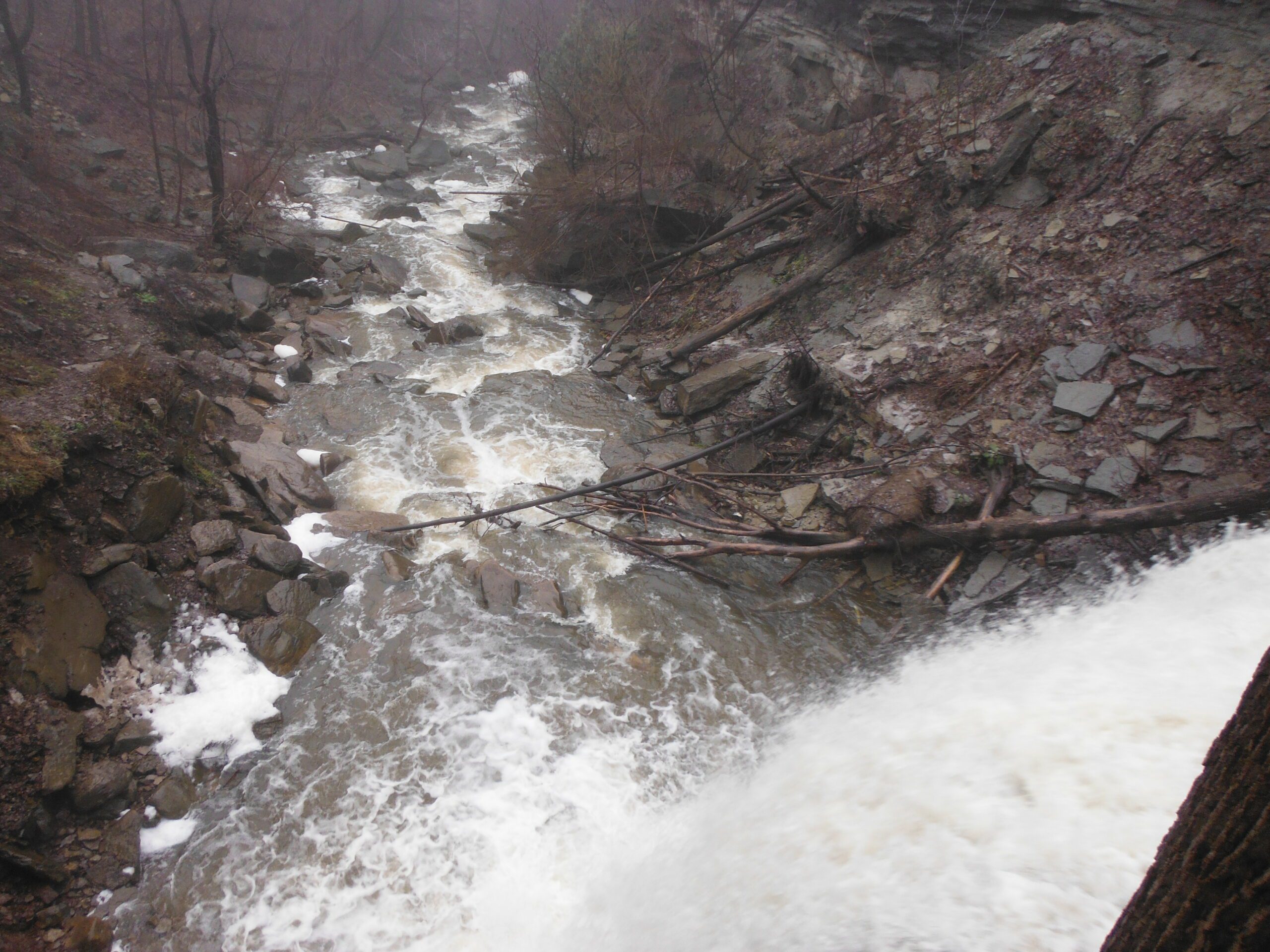
We will meet at the roadside parking at the north end of Old Guelph Road (Map 9, 65.8KM). We will carpool to Guelph Line (Map 10, 82.6KM). We will go South passing Fisher Pond, then cross Dundas Road at Signal Hill, going past City View Park, through Waterdown Woods to the Great Falls in Grindstone Creek Valley. We continue on crossing Snake Road going through Clappson Woods to complete the hike.Special Instructions:
Bring at least 2.5 litres of water and your lunch.
Bring bug spray – you will need it.
Hiking shoes required.Urban Walk: Forest Hill/Cedarvale Ravine/Beltline Sunday morning walk
https://hikesstaging.brucetrail.org/event/urban-walk-forest-hill-cedarvale-ravine-beltline-sunday-morning-walk/Sorry, the registration cut-off time for this hike has been reached.Not a member? Click here to join today!Hosting Club: Toronto
Category: Urban Walk
Location (Google Maps): Yonge and St. ClairHike Leader(s): Danny Pivnick Click here to contact Hike Leader(s)
Pace: Moderate
Terrain: Flat
Distance: 10kmsDescription
Please join us for a nice relaxing walk through some beautiful parts of Forest Hill into Forest Hill Village before entering the Cedarvale Ravine up towards Eglinton and the Beltline Trail. Following the Beltline Trail back to Yonge St., we will briefly enter Mt. Pleasant Cemetery where we will look at the gravestone of Canada’s longest serving Prime Minister (Mackenzie King). This walk will begin and end at Yonge and St. Clair. For walk route, you can copy and paste the following link into your browser: https://onthegomap.com/s/6arbgc51
Discovery Badge Series 1/5
https://hikesstaging.brucetrail.org/event/discovery-badge-series-1-5/Sorry, the registration cut-off time for this hike has been reached.Not a member? Click here to join today!Hosting Club: Caledon Hills
Category: General
Location (Google Maps): Intersection of Cataract Road and Mississauga Road at the Elora Cataract Trailway Trail Head, 43.813120, -80.028656Directions: From Hurontario St./ON-10 head west on Peel Regional Rd. 24 for 5.6 km. Turn left onto Mississauga Rd. and drive for approx. 1 km. Park on the west side of the road near the Trail Head. Be cognizant of parking signage in the area.
Hike Leader(s): Sandy Green & Dominique Garceau Click here to contact Hike Leader(s)
Pace: Medium – 3 to 4 km/hour
Terrain: Moderate – some hills and/or some poor footing
Distance: 11 kilometresDescription
Register individually for one, a few, or all of the five Discovery Badge Series hikes. Participants who complete all five hikes will be eligible to receive a CHBTC Discovery Hike Badge. Hike One explores the main Trail, and the Mill Pond Side Trail and Cataract Side Trails in Forks of the Credit Provincial Park. Bring your choice of hydration and snacks. Hiking boots are highly recommended. See June 25, July 2, July 16, and July 23 for details pertaining to the other hikes in the series. (Note: If you wish to purchase badges, the cost of each badge is $10.00 for BTC members and $15.00 for non-members.)
Chi-CheeMaun Festival Hike
https://hikesstaging.brucetrail.org/event/chi-cheemaun-festival-hike/Sorry, the registration cut-off time for this hike has been reached.Not a member? Click here to join today!Hosting Club: Peninsula
Location (Google Maps): PBTC tent in Little Harbour, Tobermory,
Hike Leader(s): Saabir Sohrab Click here to contact Hike Leader(s)
Pace: Leisurely
Terrain: Moderate
Distance: ~9kmDescription
Celebrate Chi-Cheemaun’s 48 th year at the Chi-Cheemaun Festival in Tobermory.Join the festivities by hiking with a Peninsula Bruce Trail Hike Leader on the Bruce Trail. Starting at the PBTC tent in Little Tub Harbour, Tobermory, we will hike through the quaint village of
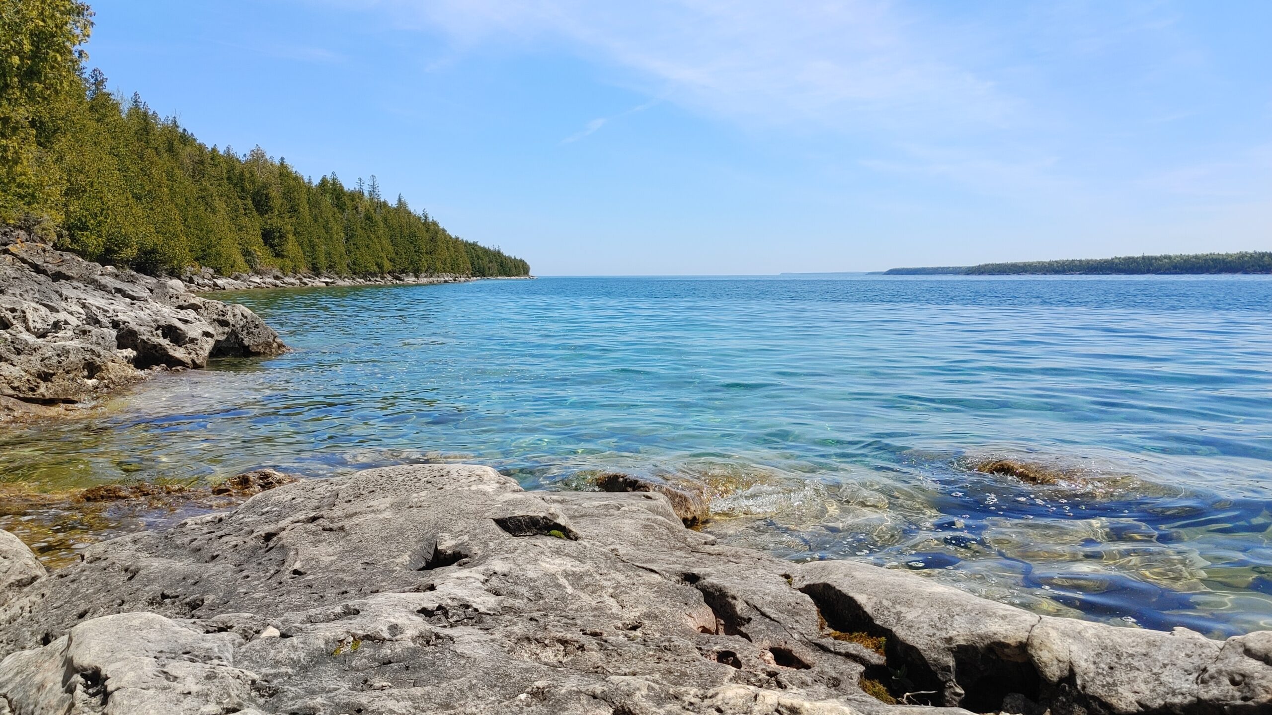
Tobermory, to the main trail. At the Northern Cairn, you will begin hiking on the historic Bruce Trail, including the picturesque Burnt Loop Side Trail with lovely water views of Georgian Bay
and Flower Pot Island. Then, we retrace our steps to rejoin the festival activities.What to bring: Wear sturdy walking shoes, hat and dress according to the weather. Bring a light backpack with water, sunscreen and insect repellent.
Pace and Terrain: This is a moderately paced hike which traverses a mixed hiking surface –asphalt sidewalks, dirt walking paths and irregular terrain including tree roots and rocks.
Toronto Urban Badge Hike - 1 of 7
https://hikesstaging.brucetrail.org/event/toronto-urban-badge-hike-1-of-7-2/Sorry, the registration cut-off time for this hike has been reached.Not a member? Click here to join today!Hosting Club: Toronto
Location (Google Maps): Toronto, Ontario, Canada
Hike Leader(s): Brian Rideout Click here to contact Hike Leader(s)
Pace: Moderate
Terrain: Flat
Distance: 11 kmDescription
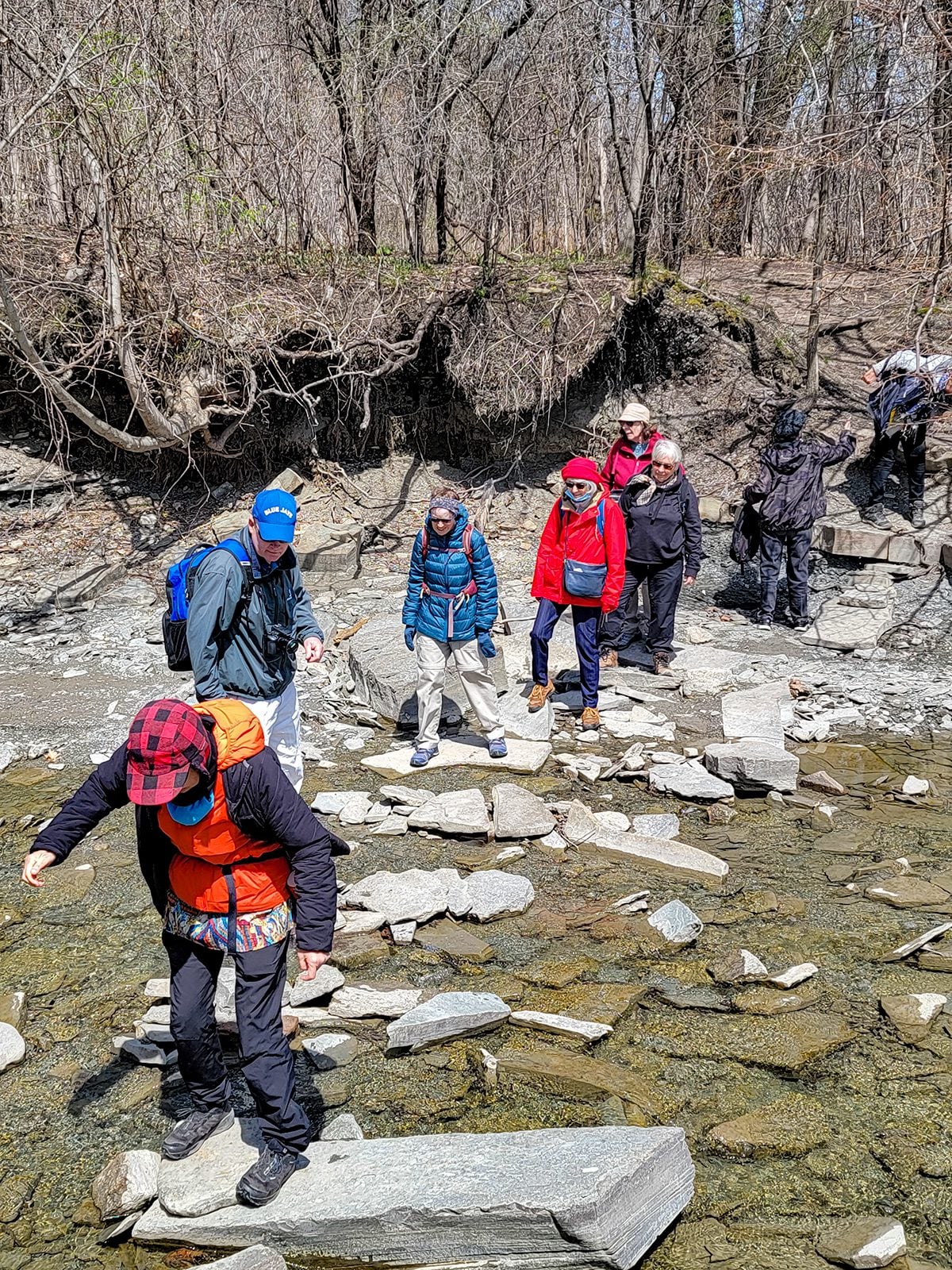
Please join me at the south west corner of Finch and Weston by 10 AM. We will hike south on the Humber Recreational Trail to Scarlet and Eglinton (km 30.2 to km 19.2). Here is an online map with km markings of our route for all 7 hikes for the Toronto Urban Badge.Please make sure you bring at least 2 liters of water, a lunch, bug spray and sunscreen.
Social/Family Hike - Rural Rocks & Obese Side Trails
https://hikesstaging.brucetrail.org/event/rural-rocks-obese-side-trail-loops-2/Sorry, the registration cut-off time for this hike has been reached.Not a member? Click here to join today!Hosting Club: Sydenham
Category: Family Hike
Location (Google Maps): The Owen Sound Galaxy Theatre parking lot. Meet at the tall “Galaxy Centre” sign next to the traffic lights.Hike Leader(s): Maureen McFarland Click here to contact Hike Leader(s)
Pace: Leisurely: 3 km/h or less
Terrain: Moderate: Some hills and/or poor footing, Strenuous: Hilly with steep climbs and some poor footing.
Distance: 4 kmDescription
We will carpool to the start of the hike on the northwest side of Wiarton. The hike starts with a spectacular, rugged section of large boulders and crevices leading into a forest and then on to a beaver pond. The trail winds along a ridge as we return to the parking area. Children will enjoy clambering on the rocks and finding the figurines that others have placed along the trail. Good footwear is needed and walking poles may be helpful. Please register each family member individually. If you are unable to register, please call or text the hike leader at 647-918-4180. - 19June 19, 2023

Car Hike: Toronto in 3 (New Fundraising Badge)
https://hikesstaging.brucetrail.org/event/car-hike-toronto-in-3-new-fundraising-badge/Sorry, the registration cut-off time for this hike has been reached.Not a member? Click here to join today!Hike open to BTC Members only.
This is a Multi-Day Hike
You are signing up for the following dates:
2023-06-19, 2023-06-21, 2023-06-22Hosting Club: Toronto
Category: Car Hike
Location (Google Maps): km 17.4 on 4th Line.Hike Leader(s): Jacquie Van Dyke Click here to contact Hike Leader(s)
Pace: Moderate
Terrain: Challenging, Variable
Distance: 17kmDescription
Registered hikers will earn the new Toronto stained glass badge!!!
You are registering for the three days – June 19, 21, and 22.
Hikers need to complete all three hikes with the leader. Hikers may miss one hike and if so, will make up the hike on their own to still qualify for the badge. Please keep a log of the missed hike and give it to the leader on the last day. Hike 2 on June 21, we’ll again meet at km 17.4 and for hike 3, we’ll meet at km 48.3 (GPS N43.750866, W79.951452). Because these hikes are so close together, a missed hike may be made up ahead of time.
The fee goes towards supporting the Toronto Bruce Trail Club, which in turn supports the mission of the Bruce Trail Conservancy “preserving a ribbon of wilderness, for everyone, forever”.
This hike is intended to be MODERATE (3-4 km per hour). Please, register only if you are capable of sustaining this pace for the day over varied/rocky terrain.
Hikers are expected to follow the COVID 19 guideline and stay home if they have symptoms.
Hikers may choose to wear masks during the car shuttle. Hike 1 will involve $$ unless you have a Halton Conservation Pass. The cost will be shared equally by participants.
Please arrive 15 minutes early to ready for an 8:30 departure, wear sturdy footwear, always carry ID cards, bring a minimum of 2 litres of water, bug repellent, and your own first aid kit.
Rockway Louth Return
https://hikesstaging.brucetrail.org/event/rockway-louth-return/Sorry, the registration cut-off time for this hike has been reached.Not a member? Click here to join today!Hosting Club: Niagara
Category: Loop
Location (Google Maps): Rockway Conservation Area, Pelham RoadHike Leader(s): Sam Rutherford Click here to contact Hike Leader(s)
Pace: Medium
Terrain: Strenuous
Distance: 8 kmsDescription
Hike from Rockway Conservation Area to Louth Conservation Area and return. Rocky hike through woodland with hills and spectacular water falls. - 20June 20, 2023
8:00 NEW TIME Long Hike Wiley Road Short Hills
https://hikesstaging.brucetrail.org/event/800-new-time-long-hike-wiley-road-short-hills-8/Sorry, the registration cut-off time for this hike has been reached.Not a member? Click here to join today!Hosting Club: Niagara
Location (Google Maps):
Short Hills Wiley Road Entrance
Pace: Medium
Terrain: Moderate
: 10kmDescription
Explore Short Hills and the majestic side trails of Scarlett Tanager, Hemlock. Swayze Falls and Terrace. Register for each hike
Bring Poles water, snack, sunscreen and bug spray and dress for the weather

Devil's Pulpit, Trimble and Crow's Nest Side Trails
https://hikesstaging.brucetrail.org/event/devils-pulpit-trimble-and-crows-nest-side-trails/Sorry, the registration cut-off time for this hike has been reached.Not a member? Click here to join today!Hosting Club: Dufferin Hi-Land
Category: Tuesday Hike
Location (Google Maps): (Google Maps) Caledon Hills Section, Forks of the Credit, Map 14. For car pooling, meet at the parking area on the east side of Party City/Winners building (Hwy 10 and 4th Ave.) in Orangeville at 8:30 am. Otherwise meet at roadside parking on the east side of Creditview Rd., immediately north of the Grange Sideroad intersection. Please note that parking is limited here, so please consider car pooling if possible.Hike Leader(s): Tony Evangelista, Les Babbage, Inge Eckerick, Julie Daley Click here to contact Hike Leader(s)
Pace: Medium
Terrain: Moderate, Slippery and Steep Sections
Distance: Long Hike: 9 km Short Hike: 5 kmDescription
From the parking area we will descend the escarpment via the Devil’s Pulpit and enter the Ring Kiln Side Trail to investigate the ruins of a Hoffman lime kiln. We will then hike down to the Forks of the Credit Rd., where we will follow the the Trimble Side Trail on the road beside the West Credit River to hike the circular Crow’s Nest Side Trail before returning to the parking area. The short hike can return to the cars after exploring the Ring Kiln.Bring water, lunch, snacks, sunscreen and insect repellant. Hiking poles are recommended.
9:15 Short Hike - Pelham Road, Short Hills
https://hikesstaging.brucetrail.org/event/915-short-hike-pelham-road-short-hills-48/Sorry, the registration cut-off time for this hike has been reached.Not a member? Click here to join today!Hosting Club: Niagara
Location (Google Maps): Pelham Road entrance, Short Hills Provincial Park
Hike Leader(s): janet davey Click here to contact Hike Leader(s)
Pace: Medium
Terrain: Moderate
Distance: 6 kmsDescription
Hike the main and side trails in Short Hills Provincial Park. Bring hiking boots, water, sunscreen and bug spray.International Hike - US Goat Island
https://hikesstaging.brucetrail.org/event/international-hike-us-goat-island/Sorry, the registration cut-off time for this hike has been reached.Not a member? Click here to join today!Hosting Club: Caledon Hills
Category: Tuesday Hikers
Location (Google Maps): Meeting place: 4348 Hiram Street, Niagara Falls; parking lot, close to Rainbow Bridge.
Driving direction: From QEW to Niagara Falls, take exit to Falls Avenue (420), right on Victoria Ave., left on Bender St., left on Ontario Av.e, right on Hiram Street, parking lot is on the right. There may be other routes to get there, use whatever is convenient to navigate to reach there.
Parking charges: Use pay station for parking ticket and display on the dash board. You may take yearly parking pass by paying $5-10 extra using option at the pay station or securing pass online from Niagara Parks Parking Passes. The pass will allow parking art various included parking lots along Niagara River for one year.
Carpooling: Consider carpooling with fellow hikers and share gas and parking cost as appropriate (example: last hike at Niagara Glen, we shared $40+20 among 3 hikers, $20 each).Hike Leader(s): Mohammad Shafiq Click here to contact Hike Leader(s)
Pace: Medium – 3 to 4 km/hour
Terrain: Easy – mostly flat and usually good footing, Moderate – some hills and/or some poor footing
Distance: 8-10 kmDescription
From Parking Lot at Hiram Street, we will walk to Rainbow Bridge and cross over to US side, valid Canadian Passport required, also required Loonie (one dollar coin) as crossing fee to get through the barrier. On US side our passport will be checked and usual border clearance required.
We will walk around the Goat Island, connected 3-sister island, viewing deck, trail next to the deck and return to Canada side using same walking bridge and clear through Canada border checks. All the hike is close to the river, refreshing sounds and sights.
There will be a snack break at 3-sister island and a visit to Ice-cream parlour to cool down the summer heat.
Bring your preferred hydration drink, snack; wear hiking shoes and comfortable outfit, take an extra layer along as the temperature usually drops near the river.
Make sure, phone is on Airplane mode before border crossing to US to prevent roaming charges.
Hike Leader contact # 416-566-0503 (not reachable while in US).Lindenwood Loop and Lindenwood Pond Loop
https://hikesstaging.brucetrail.org/event/lindenwood-loop-and-lindenwood-pond-loop/Sorry, the registration cut-off time for this hike has been reached.Not a member? Click here to join today!Hosting Club: Sydenham
Category: General Hike
Location (Google Maps): The Owen Sound Galaxy Theatre parking lot. Meet at the tall “Galaxy Centre” sign next to the traffic lights.Hike Leader(s): Franziska Edney Click here to contact Hike Leader(s)
Pace: Medium: 3 to 4 km/h
Terrain: Easy: Mostly flat and good footing., Moderate: Some hills and/or poor footing
Distance: 8.7 kmsDescription
We will explore the new Lindenwood Pond Loop and hike the white trail to the Lindenwood Loop and return. There are no hills, but it is a fairly long hike of about 2 hours. Bring water and bug spray. If you are unable to register, please call/text the leader at 519 379 2573. - 21June 21, 2023

Beaver Valley E2E in 8 (Guest Leader Smadar Junkin, Toronto Bruce Trail Club)
https://hikesstaging.brucetrail.org/event/beaver-valley-e2e-in-8-guest-leader-smadar-junkin-toronto-bruce-trail-club/Sorry, the registration cut-off time for this hike has been reached.Not a member? Click here to join today!Hike open to BTC Members only.
This is a Multi-Day Hike
You are signing up for the following dates and times:
2023-06-21 at 08:30
2023-06-22 at 08:30
2023-06-23 at 08:30
2023-06-24 at 08:30
2023-07-12 at 08:30
2023-07-13 at 08:30
2023-07-14 at 08:30
2023-07-15 at 08:30Hosting Club: Beaver Valley
Location (Google Maps): Meet on 6th Line, north of Hwy 119, km 13.7 Map 24, Edition 30 – for a car shuttle to Maple Lane, km 00.0 Map 24, Edition 30
Hike Leader(s): Beaver Valley Hike Moderator Click here to contact the hike leader.
Pace: Brisk
Terrain: Moderate, Some rocky footing, Some steep sections, Strenuous
Length of Hike: 13.7 kmDescription
Participants will earn this badge by hiking all 8 hikes in this series. As life sometimes can be interrupted you may need to miss a hike. You can make up two hikes on your own and still qualify for the badge on the final day. Please keep a log of the missed hikes and email it to the hike leader by the last day.The fee includes the badge and as a fundraiser, also goes towards supporting the Beaver Valley Bruce Trail Club, which in turn supports the mission of the Bruce Trail Conservancy, which is: “Preserving a ribbon of wilderness, for everyone, forever.” Thank you for your support! Please note there are no refunds!
For the time being, registration for the Beaver Valley E2E in 8 will be limited to members of the Bruce Trail Conservancy. Hikers can belong to any section.
This particular set of 8 hikes is intended to be BRISK (4K-5K PER HOUR). Before registering, please be honest with yourself about your ability to complete these approximately 15 km, sometimes rugged, hilly, technical hikes.
All hikes in this series will include a car shuttle and everyone will take a turn as a shuttle driver. Masks will be worn in car shuttles. Ideally we will hike from km 0 to km 119.9 over the series of 8 hikes but as conditions change and parking issues arise we ask that you be flexible with changes in the routes and parking. You will receive an e-mail outlining meeting location and start location for each hike as well as any other information needed closer to the start of the hike event.
We will have a clothing adjustment break, and 2 snack/lunch breaks of 10 min each. Feel free to ask for bio or other needed breaks. Please have your water accessible while hiking. There will be opportunities for quick photos. We recommend having your camera/phone accessible to get those great shots.
Please read the hike guidelines below.
Guidelines
- Arrive 15 minutes before the start of the hike.
- Wear sturdy footwear and appropriate attire for the weather and the terrain.
Hiking poles are a good idea in any season, especially if the terrain is rocky or slippery. In winter, snowshoes or icers/crampons are needed when conditions dictate.
Wearing appropriate clothing and footwear prevents injuries and shows consideration for a safe and positive group hiking experience. - Always carry I.D. and your health card.
- Bring sufficient water and snacks (or lunch if indicated). A minimum of 1L of water is recommended on all hikes, and 3L is recommended for long, challenging hikes in the heat of the summer.
- Bring sunscreen and insect repellent (for spring and summer hikes).
- Bring your own first aid kit.
- Please leave dogs at home.
COVID-19 Precautions before and during the hike
Each hiker joining a Bruce Trail Club organized hike must perform a self-screening
before the hike. Find Ontario’s self-assessment tool here:
https://covid-19.ontario.ca/self-assessment/ If you are experiencing COVID-19
symptoms, stay home.
Personal Protective Equipment: Hikers may choose to wear masks on the trail.
Hermitage Loops
https://hikesstaging.brucetrail.org/event/hermitage-loops-3/Sorry, the registration cut-off time for this hike has been reached.Not a member? Click here to join today!Hosting Club: Iroquoia
Category: Good Companions
Location (Google Maps):Hermitage parking lot, Dundas Valley Conservation Area, 621 Sulphur Springs Rd, near corner of Sulphur Springs Rd and Mineral Springs Rd.
Hike Leader(s): Craig Sim Click here to contact Hike Leader(s)
Pace: Medium – 3 to 4 km/hr
Terrain: Moderate – Some hills and/or some poor footing
Distance: 7k (approximate)Description
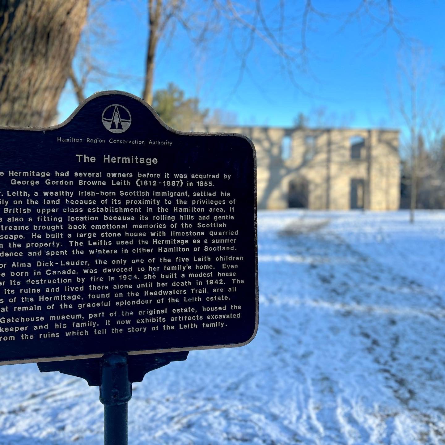
Meet in Hermitage parking lot, Dundas Valley Conservation Area, 621 Sulphur Springs Rd, near corner of Sulphur Springs Rd and Mineral Springs Rd. We will do loops within DVCA. Hilly with great views. Spots to watch footing if wet, typically good path. Primarily in shade. Wear hiking boots. In extreme heat may shorten hike. Dress in layers appropriate to weather, bring snack and water. Be aware of Covid protocols. We leave at 930am. Note early start time. To cancel on day of hike text cell#289-659-0007. Cell is day of hike only.
BTC Ecology Hike
https://hikesstaging.brucetrail.org/event/btc-ecology-hike/Sorry, the registration cut-off time for this hike has been reached.Not a member? Click here to join today!Hosting Club: Peninsula
Location (Google Maps): Bruce Trail Parking at 24.4 Km (Bruce Trail Reference Guide Edition 35)at Crooked Toe Road
Hike Leader(s): Marg Glendon Click here to contact Hike Leader(s)
Pace: Leisurely, Medium
Terrain: Moderate
Distance: ~5 KMDescription
Join BTC ecologist Brian Popelier on the BTC Glassford property to discuss the BTCs Land Stewardship Program and the importance of the role of BTC volunteers. This property is 287 acres of forest, thicket, open meadow, active hayfields and the jewel of the property, the pond and surrounding wetland habitat. Brian will introduce us to the land stewardship and conservation practices at the Glassford Property. This is a walk and talk hike and will help us to learn more about Bruce Trail Land Stewardship – the overall care and protection of BTC managed lands, serving not only to maintain or enhance the integrity of the natural ecosystems of the Niagara Escarpment, but also to encourage a minimum impact approach to the construction, maintenance and use of the Bruce Trail. The hike will be about 2 1/2 hours in duration.
Bring your binoculars, sunscreen, insect repellent and lunch. Wear sturdy walking shoes, hat and sun protective clothing. This is relatively flat, but does have some uneven terrain and one hilly section. This could be wet at this time of year, so be prepared with gators and waterproof footwear.Summer Solstice Hike and POTLUCK: Petun Conservation/PRV/John Haigh Side Trail Loop
https://hikesstaging.brucetrail.org/event/summer-solstice-hike-and-potluck-petun-conservation-prv-john-haigh-side-trail-loop/Sorry, the registration cut-off time for this hike has been reached.Not a member? Click here to join today!Hosting Club: Blue Mountains
Category: Organized Hike
Location (Google Maps): 49 Silver Creek Drive, CollingwoodHike Leader(s): Kelly-Leigh Thomas Click here to contact Hike Leader(s)
Pace: Medium – 3 to 4 km/hr
Terrain: Moderate – Some hills and/or some poor footing
Distance: 8kmDescription
PRE-REGISTRATION REQUIRED! Maximum 30 registered hikers for this event.
Registered hikers will meet at 49 Silver Creek Dr., Collingwood and will bring a potluck dish to be shared. Bring your own plate, glass and cutlery, chair and beverages. Following the hike we will return to Silver Creek Dr. to enjoy beverages and hors d’oeuvres followed by the potluck. Pre-register by signing up on-line on the BTC calendar. Email the hike leader in
advance, no later than Thursday, June 15, 2023 to coordinate what you will bring.
We will drive to the Black Ash Creek Side Trail parking lot on the 2nd Line (Parking fee: $10). This will be a hike to recognize and celebrate our Indigenous peoples. We will start on this new side trail and then pick up the white blazed trail in the Petun Conservation Area. We will continue along until we cross the road at the Russ McConnell Side Trail. Following the side trail we reconnect with the white blazed trail taking us around the Escarpment to take in all the views. We will continue on to the John Haigh Side Trail.There will be a little hiking on the road to get back to the cars. Bring water. - 22June 22, 2023
8:00 am Long Hike Jordan to Moyer / Louth NEW TIME
https://hikesstaging.brucetrail.org/event/800-am-long-hike-jordan-to-moyer-louth-new-time-8/Sorry, the registration cut-off time for this hike has been reached.Not a member? Click here to join today!Hosting Club: Niagara
Location (Google Maps):
Jordan Hollow Park 3039 King St Jordan
Pace: Medium
Terrain: Moderate
: 10kDescription
From Jordan Hollow Hike the main trail to Upper and Lower Balls Falls, Moyer Road or Louth and Return. You must register for each hike. Bring Poles, sunscreen, bug spray , snack and a drink ices and dress for the weather
9:15 Short Hike - Jordan Hollow
https://hikesstaging.brucetrail.org/event/915-short-hike-jordan-hollow-62/Sorry, the registration cut-off time for this hike has been reached.Not a member? Click here to join today!Hosting Club: Niagara
Location (Google Maps): Jordan Hollow Park, Jordan Station
Hike Leader(s): Bill Russell Click here to contact Hike Leader(s)
Pace: Medium
Terrain: Strenuous
Distance: 6 kmsDescription
Hike the main and side trails around Jordan and Balls Falls. Bring hiking boots, water, sunscreen and bug spray.Sydenham E2E Hike 10 of 14
https://hikesstaging.brucetrail.org/event/sydenham-e2e-hike-10-of-14/Sorry, the registration cut-off time for this hike has been reached.Not a member? Click here to join today!Hosting Club: Caledon Hills
Category: End-to-End
Location (Google Maps): Meet at Bayview Escarpment Provincial Nature Reserve parking south of km 56.3. Shuttle to start at km 68.4.Hike Leader(s): Nancy Mooney Click here to contact Hike Leader(s)
Pace: Medium – 3 to 4 km/hour
Terrain: Easy – mostly flat and usually good footing
Distance: From km 68.4 to 56.3 plus Beaver Springs Side Trail, total 14 km.Description
Since this hike is mostly road walking we will take in the Beaver Springs Side Trail.Rocklyn Creek to Griersville
https://hikesstaging.brucetrail.org/event/rocklyn-creek-to-griersville/Sorry, the registration cut-off time for this hike has been reached.Not a member? Click here to join today!Hosting Club: Sydenham
Category: General Hike
Location (Google Maps): Meet at the east end of Deviation Road, where the Bruce Trail crosses the road. This is just south of the Euphrasia – St Vincent Townline, at km 3.1 (Map 28)Hike Leader(s): Fran Turner Click here to contact Hike Leader(s)
Pace: Brisk: 4 to 5 km/h
Terrain: Moderate: Some hills and/or poor footing
Distance: 9.2 kmDescription
We will do a quick car shuttle to the start of the hike and then hike west along the escarpment edge back to Rocklyn Creek. Most of the trail passes through hardwood forest, with a few fields and two road crossings. There are some beautiful lookouts to the north with vistas of Georgian Bay and we will cross the very pretty Anthea’s Waterfall. Please bring lots of water and a snack, plus bug spray and sunscreen. If you are unable to register, please call or text the hike leader at 519-590-0706.
Discover the Flora and Fauna of the Whitetail Refuge Nature Reserve
https://hikesstaging.brucetrail.org/event/discover-the-flora-and-fauna-of-the-whitetail-refuge-nature-reserve-2/Sorry, the registration cut-off time for this hike has been reached.Not a member? Click here to join today!Hosting Club: Caledon Hills
Category: Nature Walks
Location (Google Maps): Meet at the Mono Centre Community Centre, 754483 Mono Centre RoadHike Leader(s): Gary Hall Click here to contact Hike Leader(s)
Pace: Leisurely – 3 km/hour or less
Terrain: Moderate – some hills and/or some poor footing
Distance: 3-4 kmDescription
Join Mark Whitcombe and Dave Dawe while we explore the new BTC Whitetail Refuge property. Dave is the Land Steward here and loves sharing what he knows of the local flora and fauna along with some rehabilitation considerations. Mark is a generalist ecologist and botanist, and was a former Land Steward for the Pinnacle Rock BTC property up in the Beaver Valley area.Forest Bathing Walk in the Hockley Valley Nature Reserve
https://hikesstaging.brucetrail.org/event/forest-bathing-walk-in-the-hockley-valley-nature-reserve/Sorry, the registration cut-off time for this hike has been reached.Not a member? Click here to join today!Hosting Club: Caledon Hills
Category: Nature Walks
Location (Google Maps): BTC Reference Guide, Map 18, Caledon Hills section, Hockley Valley; the parking area on Dunby Rd. (at km 68)Hike Leader(s): Janice McClelland Click here to contact Hike Leader(s)
Pace: Leisurely – 3 km/hour or less
Terrain: Moderate – some hills and/or some poor footing
Distance: 6.6 kmDescription
We will depart from the parking area on Dunby Rd. (at km 68) and quietly walk south on the Bruce Trail through a pleasant re-forested area with scenic views and on to the forests of the Hockley Valley Provincial Nature Reserve. We then follow the Cam Snell Side Trail enjoying the company of a stream before turning east through woodlands to re-join the Bruce Trail and return to our start point. Key words for this walk — forest, stream and some long steepish sections. Walkers are encouraged to take the steepish sections at their own pace – some may prefer to maintain a steady pace drinking in the forest air and some may prefer to pause for breaths and absorb the green around them. Please bring water and a lunch for on the trail.
Toronto, Toronto Islands
https://hikesstaging.brucetrail.org/event/toronto-toronto-islands-13/Sorry, the registration cut-off time for this hike has been reached.Not a member? Click here to join today!Hosting Club: Toronto
Location (Google Maps): Meet inside the Jack Layton Ferry Terminal, foot of Bay Street, beyond the cashiers selling the ferry tickets, in the open area with the benches and Muskoka chairs. From Union Station take the LRT one stop to “Ferry Docks” or take bus number #19 or #72 on Bay Street southbound to the Queens Quay. Walk across Queen Quay south through the park to the ferry terminal.
Hike Leader(s): Miriam Stevens, Tom Swales
Pace: Leisurely
Terrain: Flat
Distance: 8-12 kmDescription
After a day’s work, come and “cool off” on the Toronto Islands free of fumes and traffic to enjoy the view of the city skyline and Toronto’s own beautiful island parkland oasis away from the city. Pack a dinner for a sit-down picnic. Note that food is not available for purchase on the islands early in the season. Bring a warm jacket and flashlight. Return ticket for the ferry is approximately $8.70, $5.60 for seniors. The hike will take place rain or shine. Toronto Island Evening Hikes will take place every Thursday in May and June, same time and meeting place. The route and time we return to the city may vary depending if the ferries are running on the Spring or Summer (starts in May) schedule. Contact Hike Leaders via the Contact form for further information or to confirm the current ferry schedule that will be in place the week of the hike. Registration is not required for this hike – just meet the Hike Leader at the above location.** Please ignore the “registration cutoff time has been reached” message that appears 24 hours beta as it is not applicable **
- 23June 23, 2023

9:00 am Niagara on the Lake Tour & Some Yoga ... followed by Summer Solstice Celebration
https://hikesstaging.brucetrail.org/event/900-am-niagara-on-the-lake-tour-some-yoga-followed-by-summer-solstice-celebration/Sorry, the registration cut-off time for this hike has been reached.Not a member? Click here to join today!Hosting Club: Niagara
Category: No Leader
Location (Google Maps): Veteran’s Memorial Park, park just outside the park on King St.Hike Leader(s): Robin Garrett Click here to contact Hike Leader(s)
Pace: Medium
Terrain: Easy
Distance: 6 kmDescription
Enjoy the benefits of pausing for a yoga practice as we tour through the trails, parkland and Historic Niagara-on-the-Lake. No mat required. Movement will focus on a flow of standing poses designed especially for hikers. Plan to stay for a Summer Solstice Celebration in my backyard garden – location and details will be provided to registrants. - 24June 24, 2023
Hockley Valley - the 4th Line Part 2
https://hikesstaging.brucetrail.org/event/hockley-valley-the-4th-line-part-2/Sorry, the registration cut-off time for this hike has been reached.Not a member? Click here to join today!Hosting Club: Blue Mountains
Category: Register in person the morning of hike.
Location (Google Maps): Hike meets in the parking lot behind Tim Hortons on First St. in Collingwood.Hike Leader(s): Anhong MacNeil Click here to contact Hike Leader(s)
Pace: Medium – 3 to 4 km/hr
Terrain: Moderate – Some hills and/or some poor footing
Distance: 10kmDescription
We will park on 4th Line at km 55.1 in the Caledon Hills section at the designated parking area. We will hike west along the white blazed trail to 2nd Line EHS and then retrace our steps to the Griffith Ravine Side Trail looping around and back to the cars. The trail covers various types of terrain including hills, valleys, streams, and boardwalks. A portion of the trail traverses the Hockley Valley Resort’s ski and golf facilities. Bring a snack or lunch and water.Niagara ETE in Seven - New Stained Glass badge
https://hikesstaging.brucetrail.org/event/niagara-ete-in-seven-brisk-pace-led-by-smadar-junkin-please-read-all-details-before-registering-2/Sorry, the registration cut-off time for this hike has been reached.Not a member? Click here to join today!Hosting Club: Niagara
Category: Event Hikes
Location (Google Maps): June 24: Meet at Woodend Conservation Area, Taylor Road, Niagara-on-the-Lake, 43.1432995, -79.1672588, Carpool to the BTC Southern Terminus 14184 Niagara River Pkwy, Niagara-on-the-Lake, 43.1602848, -79.052315.
July 1st Meet at Decew House, Decew Rd Thorold. 43.1078074, -79.2498458. Carpool to Woodend Conservation Area, Taylor Road, Niagara-on-the-Lake, 43.1432995, -79.1672588.
July 8: Meet at Roland Rd parking lot east of Effingham St 43.090278, -79.305073. Carpool to Decew House, Decew Rd Thorold. 43.1078074, -79.2498458
July 15: Meet at 3774 Quarry Rd Beamsville, 43.142799, -79.458922. Carpool to 3640 Glen Rd Jordan 43.139030, -79.373893.
July 22:Meet at 3640 Glen Rd Jordan 43.139030, -79.373893. Carpool to Roland Rd parking lot east of Effingham St 43.090278, -79.305073.
July 29 Meet at Mountainview Conservation Area, Beamsville 43.1577899 -79.4974062. Carpool to 3774 Quarry Rd Beamsville, 43.142799, -79.458922
Aug 5: Meet at Grimsby Lions Club Pool 1 Elm St 43.193201, -79.565301. Carpool to Mountainview Conservation Area, Beamsville 43.1577899 -79.4974062Hike Leader(s): Alan Laver Click here to contact Hike Leader(s)
Pace: Medium
Terrain: Moderate
Distance: 12 – 15k per dayDescription
Meet time is 7:45 for 8:00 start. . This is a special series of 7 hikes to complete the Niagara section of the Bruce Trail. There will be a new accomplishment badge, included in the registration fee featuring the White-tailed deer – which has been designed by Joe Borges and will be made available on our last day. The White-tailed deer is common throughout Niagara. For this E2E in 7, we will be following the main trail east to west eventually finishing in Grimsby. Some days we will hike east to west and other days, west to east depending on parking availability. Please note that you are signing up for the entire series of 7 hikes as a Group Hike. The section is approximately 85km so daily distances will be based on available parking. No dropout points have been established and therefore hikers who must drop out, will be responsible for their own transportation back to their vehicle. We will hike at a steady pace but there will be plenty of time to take pictures and to enjoy the flora and fauna of this beautiful but challenging section.
Again, this particular set of 7 hikes is intended to be Moderate/Brisk.
Hikers will be expected to be wearing proper hiking boots and layered clothing with the expectation of hot and humid weather. Sufficient food and 2 litres of water for a full day of hiking is required as well as hiking poles (if you use them). Check the daily forcast and prepare for wet weather, as well. Bug spray is strongly suggested. Clothing adjustments, bio-breaks are as needed. Please let the sweep person know and they will wait for you. A morning break around 10am and a 10-15 minute on-trail lunch break will be scheduled. Car Shuttles and Missing Hikes
A maximum of 2 (of the 7) hikes can be self-completed as a result of scheduling challenges, but it is intended that this badge be earned while hiking as part of a group led by a certified hike leader.
Some parking locations require paid parking, and hikes that enter Niagara Parks. The fee for this E2E-in-7 does not include any parking/entry fees for hikers. These costs, where applicable, will be shared amongst all participants unless you have a parking or park pass.Car Hike: Hike of 2 lakes King city
https://hikesstaging.brucetrail.org/event/car-hike-hike-of-2-lakes-king-city-6/Sorry, the registration cut-off time for this hike has been reached.Not a member? Click here to join today!Hosting Club: Toronto
Category: Car Hike
Location (Google Maps): Park along Fairfield Dr. or Dufferin Street, Gathering at trail head in Dufferin Street.Hike Leader(s): Mohammad Aghamiri Click here to contact Hike Leader(s)
Pace: Moderate
Distance: 14-15KM
Description
We will hike in trails around Seneca lake and Mary Lake,pass by Eaton and visit Pine farm where you can enjoy coffee,tea,apple pie during our snack time.Some safety procedures during the hike:
1-Hikers must stay between the leader and the sweep.
2-Hikers must advise the leader or the sweep if they wish to leave the group.
3- Hikers must follow the whistle instructions: 1 blast- stay where you are; 2 blasts come to the leader; 3 blasts – come to the leader quickly.
4-Hike leader may request volunteers to stop at trail intersections, they need to help hikers to the direction the group walk and wait till they see the sweep .
5-Hikers have to make sure they can see the persons behind and in front of them.
Bus Hike – Great Esker Side Trail and Scotsdale Farm- Cancelled Due To Low Registration
https://hikesstaging.brucetrail.org/event/bus-hike-great-esker-side-trail-and-scotsdale-farm/Sorry, the registration cut-off time for this hike has been reached.Not a member? Click here to join today!Hosting Club: Toronto
Category: Cancelled
Location (Google Maps): Scotsdale FarmHike Leader(s): George Lennon and Michael Humpage Click here to contact Hike Leader(s)
Pace: Leisurely
Terrain: Variable
Distance: 14 kmDescription
This leisurely hike through Scotsdale Farm and the Silver Creek Conservation Area was pioneered last year by Wayne Crockett just after the opening of the Trafalgar Side Trail. It takes in part of the Main Trail and the Great Esker Side Trail, along with the Duff Pit and Trafalgar Side Trails, to finish at 10th Line adjacent to the Walking Fern Side Trail. There will be one drop out at just over the halfway point.Warm summer temperatures and some steep ascents and descents along the Great Esker mean participants should bring plenty of water. Following the hike there will be a short drive into Georgetown for refreshments. There are two pubs and an ice cream shop, and you can explore the main street of this scenic town.
Woodford to Bognor Marsh
https://hikesstaging.brucetrail.org/event/woodford-to-bognor-marsh-2/Sorry, the registration cut-off time for this hike has been reached.Not a member? Click here to join today!Hosting Club: Sydenham
Category: General Hike
Location (Google Maps):Bognor Marsh Conservation Area parking lot, northwest corner of County Road 18 and 4th Concession S, at km 29.4 (Map 30)
Hike Leader(s): Maureen McFarland Click here to contact Hike Leader(s)
Pace: Medium: 3 to 4 km/h
Terrain: Moderate: Some hills and/or poor footing, Strenuous: Hilly with steep climbs and some poor footing.
Distance: 12.5 kmsDescription
We meet at Bognor Marsh and carpool to Woodford Community Centre. From there we hike south back to Bognor Marsh. Much of this hike is along the escarpment edge, with good views off to the east. It is a rugged section, with lots of crevices and a few climbs up and down the excarpment. We end at Bognor Marsh with views over the marsh and of the shore birds who make the marsh their home. Bognor Marsh may be quite wet in springtime. Bring a lunch, plenty of water, sunscreen and bug spray. If you have a Grey Sauble Conservation Authority Parking Pass bring it too. Parking at Bognor Marsh is not free. If you are unable to register, please call or text the hike leader at 647-918-4180.Beaver Valley E2E #2 Metcalfe Rock and Duncan Crevice Caves
https://hikesstaging.brucetrail.org/event/beaver-valley-e2e-2-metcalfe-and-duncan-crevice-caves/Sorry, the registration cut-off time for this hike has been reached.Not a member? Click here to join today!Hike open to BTC Members only.
Hosting Club: Dufferin Hi-Land
Category: General Hike
Location (Google Maps): Western end of Fox Ridge Road just west of Duncan. Km 39.3 BTC Map 25.Hike Leader(s): Stuart Law, Helen Bailey, Susan Bate Click here to contact Hike Leader(s)
Pace: Medium
Terrain: Dependent on Conditions, Moderate, Slippery Sections Likely
Distance: 16 kmsDescription
Join us in the second of a series of Humane Hikes in the Beaver Valley. Lush woodlands, lots of rock (to look at but not too much underfoot) and glistening streams. Please bring bug spray for the bugs and ticks, sunscreen, 3L of water, a snack, a lunch, an appreciation of nature and a smile. Please be ready to shuttle at 9 am.
Blue Series Hike : Warder and Ilse Hanel Side Trails Loop
https://hikesstaging.brucetrail.org/event/blue-series-hike-warder-and-ilse-hanel-side-trails-loop/Sorry, the registration cut-off time for this hike has been reached.Not a member? Click here to join today!Hike open to BTC Members only.
Hosting Club: Peninsula
Location (Google Maps): Cemetery Road Parking (44.967285, -81.230603) in Lions Head
Hike Leader(s): Saabir Sohrab, Julie Bennett Click here to contact Hike Leader(s)
Pace: Medium
Terrain: Moderate
Distance: 10kmDescription
Starting/Meeting Point at Cemetery Road parking, we will hike approximately 10 kilometers passing through a meadow and rugged upland forests. Forest bathers take note!The hike will be at a moderate 3 km/h pace – the ground is rough and has bumpy tree roots. Wear sturdy footwear, a hat, sun-protective clothes, and carry bug repellent and sunscreen. Plan on spending about 4 hours for this hike.

POSTPONED: Wetlands in Focus - Courtcliff Park
https://hikesstaging.brucetrail.org/event/wetlands-in-focus-courtcliff-park/Sorry, the registration cut-off time for this hike has been reached.Not a member? Click here to join today!Hosting Club: Iroquoia
Category: Education Hike
Location (Google Maps): Courtcliff Park, 159 Carlisle Road, Hamilton (Carlisle)Hike Leader(s): Bronwen Tregunno Click here to contact Hike Leader(s)
Pace: Leisurely – 3km/hr or less
Terrain: Easy – Mostly flat and usually good footing
Distance: 3-4 kmDescription
POSTPONED – Hike postponed until the fall. Between the threat of thunderstorms and low numbers we’ve decided to postpone this interesting hike until the fall.Join Logan Mercier, Conservation Halton, Landowner Outreach and Restoration Project Team member for a informative tour of this City of Hamilton park that was once farmland then a trailer park. More information including an interactive story map is available at https://www.conservationhalton.ca/restoration/courtcliffe-park-restoration/ Much as been done to restore Mountsberg Creek and Bronte Creek back to cold water creeks suitable for species like Brook Trout. The restored creeks and wetlands are next to a community park with lots of free parking. As an education walk there will be a number of stops where Logan will explain the restoration process. There will be lots of opportunities for questions. Note there are no facilities. We will meet at the head of the trail by the large sign. Bring snack, water, personal first aid kit, sun protection and be prepared for biting insects including ticks. This is a flat trail but hiking boots are recommended. This is a birding area so bring binoculars if you have them. For more information please contact hike leader Bron brontreg@cogeco.ca In case of cancellations the day of please text me with your name at 905-334-4013 Please arrive by 9:45 AM so I can check off your name and we can start the hike promptly at 10 AM.

Toronto Urban Badge Hike - 3 of 7
https://hikesstaging.brucetrail.org/event/toronto-urban-badge-hike-3-of-7/Sorry, the registration cut-off time for this hike has been reached.Not a member? Click here to join today!Hosting Club: Toronto
Category: Urban Walk
Location (Google Maps): Toronto, Ontario, CanadaHike Leader(s): Brian Rideout Click here to contact Hike Leader(s)
Pace: Moderate
Terrain: Flat
Distance: 10.4 kmDescription
Please join me at the south west corner of Lakeshore Blvd West and Ellis by 10 AM. We will hike east along the Waterfront Trail to the Distillery District (km 8.3 to km 71.4). Here is an online map with km markings of our route for all 7 hikes for the Toronto Urban Badge.Please make sure you bring at least 2 liters of water, a lunch, bug spray and sunscreen.
Urban Walk: Coote's Paradise/Hamilton Waterfront Trail
https://hikesstaging.brucetrail.org/event/urban-walk-cootes-paradise-hamilton-waterfront-trail-2/Sorry, the registration cut-off time for this hike has been reached.Not a member? Click here to join today!Hosting Club: Toronto
Category: Urban Walk
Location (Google Maps):Hike will start from McMaster University GO Bus Terminal. We will meet at Toronto’s Union Station 8:30 AM to take the 8:45 AM Train to Aldershot where we will transfer to the GO Bus for a short ride to McMaster University. On the return we take the GO Train to Toronto from West Harbour GO Train Station. If you have a smart phone then the return fare is just $10 with GO’s Weekend Pass. Seniors fare return from Union is $11.44. Hikers without a smartphone may purchase pass from Hike Leader at Union Station. If meeting us at McMaster you will have to make your way back to start by local transit or Uber and parking fee would apply.
Hike Leader(s): Tom Swales, Roland Mark Click here to contact Hike Leader(s)
Pace: Moderate
Terrain: Hilly, Variable
Distance: 12-13 kmDescription
This will be a one way hike through the trails of the RBG’s (Royal Botanical Gardens) South Shore Cootes Paradise Trails to Princess Point and then continuing on Hamilton’s Waterfront Trail along Burlington Bay to Bayfront Park which is a 7 minute walk to the West Harbour GO Station. Cootes Paradise is the largest and most diverse of RBG’s sanctuaries. Nestled between the Niagara Escarpment and Lake Ontario the picturesque area is significant as a migratory bird flyover zone and home to a wide variety of flora and fauna. There will be a few hills including one steeper one.