
Hike Schedule
Join us for a hike! Registration required.
All hikes available to BTC members. Some hikes are open to non-members.
See Refund Policy for Paid Hikes >
TIP: The calendar view displays up to 7 hikes on a day, but often there are more. Click “View more events” to see them all.
Categories
- 18June 18, 2023
Guelph Line to Old Guelph Road Parking - 17.5 KM
https://hikesstaging.brucetrail.org/event/gueph-line-to-old-guelph-road-parking-17-5-km/Sorry, the registration cut-off time for this hike has been reached.Not a member? Click here to join today!Hosting Club: Toronto
Category: Car Hike
Location (Google Maps): Roadside parking on the north end of Old Guelph Road (Map 9, 65.8 KM)Hike Leader(s): Fayyaz Mahmood Click here to contact Hike Leader(s)
Pace: Brisk
Terrain: Challenging, Rocky, Variable
Distance: 17.5 KMDescription
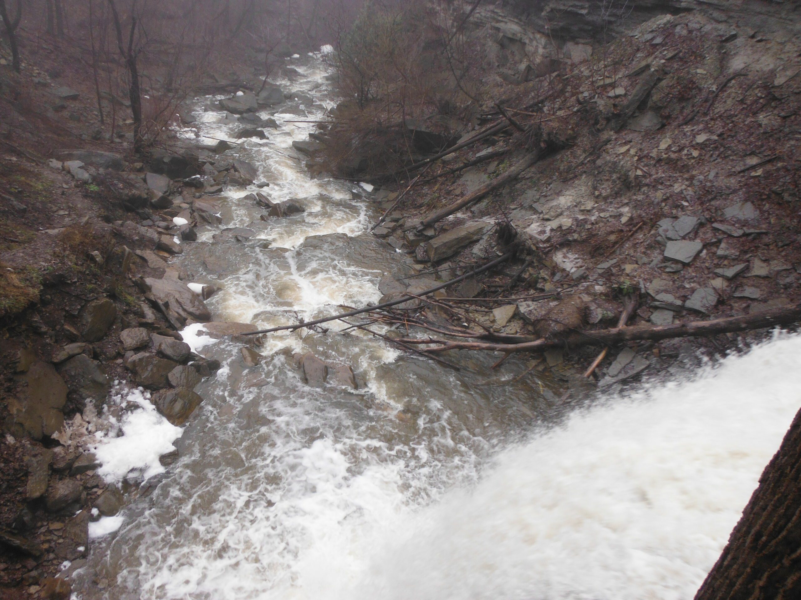
We will meet at the roadside parking at the north end of Old Guelph Road (Map 9, 65.8KM). We will carpool to Guelph Line (Map 10, 82.6KM). We will go South passing Fisher Pond, then cross Dundas Road at Signal Hill, going past City View Park, through Waterdown Woods to the Great Falls in Grindstone Creek Valley. We continue on crossing Snake Road going through Clappson Woods to complete the hike.Special Instructions:
Bring at least 2.5 litres of water and your lunch.
Bring bug spray – you will need it.
Hiking shoes required.
Toronto section E2E 4/4
https://hikesstaging.brucetrail.org/event/toronto-section-e2e-4-4/Sorry, the registration cut-off time for this hike has been reached.Not a member? Click here to join today!Hosting Club: Niagara, Toronto
Category: Car Pool
Location (Google Maps): We meet each other at the roadside parking on Boston Mills Rd, just west of the Mississauga Rd intersection. Please note that the driveway is private property.Hike Leader(s): Mehrnoush Ahmadi Click here to contact Hike Leader(s)
Pace: Medium
Terrain: Moderate
Distance: 17kmDescription
This is the last leg of the Toronto section E2E hike, which is divided into four parts. Each part requires separate registration.In the last part, we will also be hiking some side trails during the hike. At the end of the hike, there is a 4-kilometer out-and-back stretch from the parking area to reach the endpoint of the Toronto section.
If you would like to receive the badge for completing the
E2E, there is a fee of ten dollars.IF THE HIKERS WOULD LIKE TO OBTAIN THE NEW FOUND RAISING BADGE, they have the option to e-transfer the fee (The fee is $30.00 for BTC members and $40.00 for non-members) to the TBTC treasurer’s email at tbtctreasurer211@gmail.com and receive it when you complete the section.
Please note that this is a carpool hike, so it’s important to come with an empty car and be prepared for carpooling and sharing rides.
On Badge day, there will be an option for a gathering during lunchtime. We can all come together to celebrate and enjoy a meal.
Dress appropriately for the weather conditions. Make sure to bring snacks, lunch, and a minimum of 2 liters of water.
During the hike, we will take short water breaks, as well as a 30-minute lunch break.
Every body is welcome! See you there!
Urban Walk: Forest Hill/Cedarvale Ravine/Beltline Sunday morning walk
https://hikesstaging.brucetrail.org/event/urban-walk-forest-hill-cedarvale-ravine-beltline-sunday-morning-walk/Sorry, the registration cut-off time for this hike has been reached.Not a member? Click here to join today!Hosting Club: Toronto
Category: Urban Walk
Location (Google Maps): Yonge and St. ClairHike Leader(s): Danny Pivnick Click here to contact Hike Leader(s)
Pace: Moderate
Terrain: Flat
Distance: 10kmsDescription
Please join us for a nice relaxing walk through some beautiful parts of Forest Hill into Forest Hill Village before entering the Cedarvale Ravine up towards Eglinton and the Beltline Trail. Following the Beltline Trail back to Yonge St., we will briefly enter Mt. Pleasant Cemetery where we will look at the gravestone of Canada’s longest serving Prime Minister (Mackenzie King). This walk will begin and end at Yonge and St. Clair. For walk route, you can copy and paste the following link into your browser: https://onthegomap.com/s/6arbgc51
Discovery Badge Series 1/5
https://hikesstaging.brucetrail.org/event/discovery-badge-series-1-5/Sorry, the registration cut-off time for this hike has been reached.Not a member? Click here to join today!Hosting Club: Caledon Hills
Category: General
Location (Google Maps): Intersection of Cataract Road and Mississauga Road at the Elora Cataract Trailway Trail Head, 43.813120, -80.028656Directions: From Hurontario St./ON-10 head west on Peel Regional Rd. 24 for 5.6 km. Turn left onto Mississauga Rd. and drive for approx. 1 km. Park on the west side of the road near the Trail Head. Be cognizant of parking signage in the area.
Hike Leader(s): Sandy Green & Dominique Garceau Click here to contact Hike Leader(s)
Pace: Medium – 3 to 4 km/hour
Terrain: Moderate – some hills and/or some poor footing
Distance: 11 kilometresDescription
Register individually for one, a few, or all of the five Discovery Badge Series hikes. Participants who complete all five hikes will be eligible to receive a CHBTC Discovery Hike Badge. Hike One explores the main Trail, and the Mill Pond Side Trail and Cataract Side Trails in Forks of the Credit Provincial Park. Bring your choice of hydration and snacks. Hiking boots are highly recommended. See June 25, July 2, July 16, and July 23 for details pertaining to the other hikes in the series. (Note: If you wish to purchase badges, the cost of each badge is $10.00 for BTC members and $15.00 for non-members.)
Chi-CheeMaun Festival Hike
https://hikesstaging.brucetrail.org/event/chi-cheemaun-festival-hike/Sorry, the registration cut-off time for this hike has been reached.Not a member? Click here to join today!Hosting Club: Peninsula
Location (Google Maps): PBTC tent in Little Harbour, Tobermory,
Hike Leader(s): Saabir Sohrab Click here to contact Hike Leader(s)
Pace: Leisurely
Terrain: Moderate
Distance: ~9kmDescription
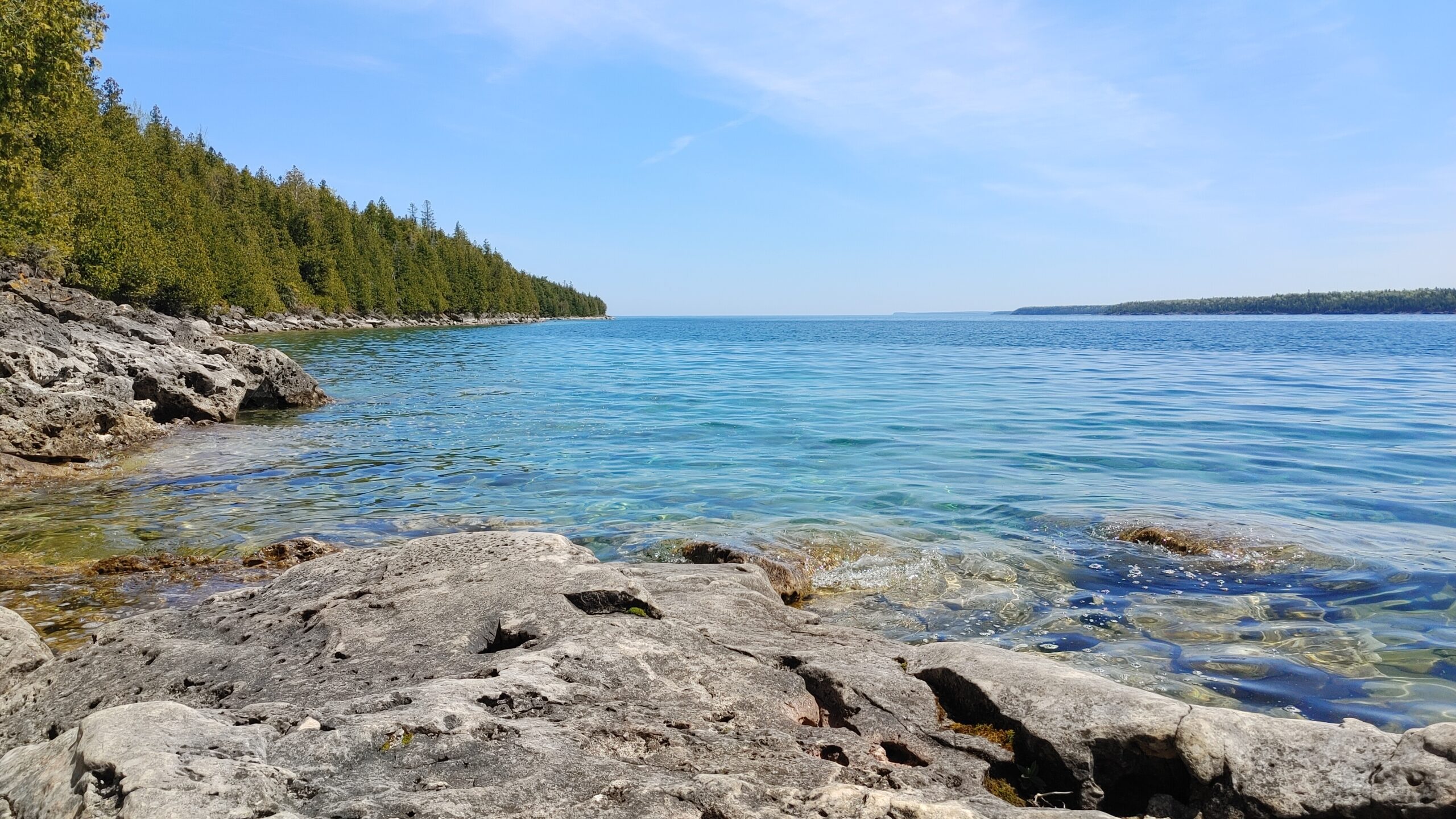
Celebrate Chi-Cheemaun’s 48 th year at the Chi-Cheemaun Festival in Tobermory.Join the festivities by hiking with a Peninsula Bruce Trail Hike Leader on the Bruce Trail. Starting at the PBTC tent in Little Tub Harbour, Tobermory, we will hike through the quaint village of
Tobermory, to the main trail. At the Northern Cairn, you will begin hiking on the historic Bruce Trail, including the picturesque Burnt Loop Side Trail with lovely water views of Georgian Bay
and Flower Pot Island. Then, we retrace our steps to rejoin the festival activities.What to bring: Wear sturdy walking shoes, hat and dress according to the weather. Bring a light backpack with water, sunscreen and insect repellent.
Pace and Terrain: This is a moderately paced hike which traverses a mixed hiking surface –asphalt sidewalks, dirt walking paths and irregular terrain including tree roots and rocks.
Toronto Urban Badge Hike - 1 of 7
https://hikesstaging.brucetrail.org/event/toronto-urban-badge-hike-1-of-7-2/Sorry, the registration cut-off time for this hike has been reached.Not a member? Click here to join today!Hosting Club: Toronto
Location (Google Maps): Toronto, Ontario, Canada
Hike Leader(s): Brian Rideout Click here to contact Hike Leader(s)
Pace: Moderate
Terrain: Flat
Distance: 11 kmDescription
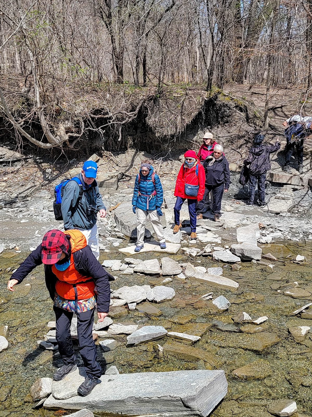
Please join me at the south west corner of Finch and Weston by 10 AM. We will hike south on the Humber Recreational Trail to Scarlet and Eglinton (km 30.2 to km 19.2). Here is an online map with km markings of our route for all 7 hikes for the Toronto Urban Badge.Please make sure you bring at least 2 liters of water, a lunch, bug spray and sunscreen.
Social/Family Hike - Rural Rocks & Obese Side Trails
https://hikesstaging.brucetrail.org/event/rural-rocks-obese-side-trail-loops-2/Sorry, the registration cut-off time for this hike has been reached.Not a member? Click here to join today!Hosting Club: Sydenham
Category: Family Hike
Location (Google Maps): The Owen Sound Galaxy Theatre parking lot. Meet at the tall “Galaxy Centre” sign next to the traffic lights.Hike Leader(s): Maureen McFarland Click here to contact Hike Leader(s)
Pace: Leisurely: 3 km/h or less
Terrain: Moderate: Some hills and/or poor footing, Strenuous: Hilly with steep climbs and some poor footing.
Distance: 4 kmDescription
We will carpool to the start of the hike on the northwest side of Wiarton. The hike starts with a spectacular, rugged section of large boulders and crevices leading into a forest and then on to a beaver pond. The trail winds along a ridge as we return to the parking area. Children will enjoy clambering on the rocks and finding the figurines that others have placed along the trail. Good footwear is needed and walking poles may be helpful. Please register each family member individually. If you are unable to register, please call or text the hike leader at 647-918-4180.