
Hike Schedule
Join us for a hike! Registration required.
All hikes available to BTC members. Some hikes are open to non-members.
See Refund Policy for Paid Hikes >
TIP: The calendar view displays up to 7 hikes on a day, but often there are more. Click “View more events” to see them all.
Categories
- 29April 29, 2023
Bus Hike: Pretty River
https://hikesstaging.brucetrail.org/event/bus-hike-pretty-river/Sorry, the registration cut-off time for this hike has been reached.Not a member? Click here to join today!Trip Information
Departure Time: 08:00
Return to City Time: 18:15
Departure Point: York Mills Bus PickupOptional Items
Hosting Club: Toronto
Category: Bus Hike
Location (Google Maps): Pretty River Valley Provincial ParkHike Leader(s): Martina Furrer, Tanya Cora, Brenda Dalglish, Barbara Euler Click here to contact Hike Leader(s)
Pace: Moderate
Terrain: Hilly
Distance: Moderate group: 12 KM, Faster group: 16 KMDescription
Join us for a fun and challenging hike through Nottawasaga Lookout Provincial Nature Reserve and Pretty River Valley Provincial Park. Our efforts will be rewarded with great views and hopefully the forest floor will be dotted with the first spring wildflowers. From Osler Bluff and the Petun Side Trail we should have awesome views of Georgian Bay.We will split into two groups. The moderate group (led by Brenda and Barbara) will do about 12 km at a pace of approximately 3 km/hr. The faster group (led by Martina and Tanya) will hike about 16 km at a 4 km/hr pace (including on hills).
Pack lunch, water (about 2 litres), sun and rain protection.
Refreshment stop after if time allows.

Peninsula-in-10 E2E
https://hikesstaging.brucetrail.org/event/peninsula-in-10-e2e/Sorry, the registration cut-off time for this hike has been reached.Not a member? Click here to join today!Hike open to BTC Members only.
This is a Multi-Day Hike
You are signing up for the following dates:
2023-04-29, 2023-04-30, 2023-05-01, 2023-05-02, 2023-05-20, 2023-05-21, 2023-05-22, 2023-06-13, 2023-06-14, 2023-06-15Hosting Club: Peninsula
Location (Google Maps): Peninsula in 10 – Start April 29, Finish June 15. Please read all details in the hike description before registering for the hike.
Hike Leader(s): Jacquie Van Dyke Click here to contact Hike Leader(s)
Pace: Brisk, Medium
Terrain: Difficult, Moderate
Distance: Approximately 8-22km per day depending on available parking locations and restrictionsDescription
Please note: there are no refunds or transfers. If you register for this hike and change your mind, please cancel your name from the registered list as there will be others on the waitlist. It is very important to read all the details for this hike prior to registering.Overview:
This is a special series of 10 hikes to complete the Peninsula section of the Bruce Trail. There will be a new accomplishment badge included in the registration fee featuring the Turkey Vulture – which will hopefully be made available on our last day.
For this E2E in 10, we will be following the main trail, generally heading northbound and eventually finishing in Tobermory. Please note that you are signing up for the entire series of 10 hikes as a Group Hike. The Peninsula in 10 series is geared to experienced long distance hikers with the expectation of a 3.0 – 5.0km/hr. pace maintained over a 15km plus day. The section is approximately 165km so daily distances will be based on available parking and timed parking restrictions. No dropout points have been established and therefore hikers who must dropout, will be responsible for their own transportation back to their vehicle. Please note that transportation back to your vehicle is very limited this section. Cell phone reception can also be a challenge in this section.
Please be honest about your hiking abilities. We will hike at a steady pace and there will be plenty of time for pictures and to enjoy the flora and fauna of this beautiful, rugged and challenging section.
Again, this particular set of 10 hikes is intended to be Moderate/Brisk. Please be honest about your degree of physical fitness prior to registration. It is a group hike so it is important that you are able to keep pace with the person in front of you.
Attire and Daily Hikes
Hikers are expected to wear proper hiking boots and layered clothing with the expectation of cool and possible wet weather. Sufficient food and water for a full day of hiking is required as well as hiking poles (if you use them), and wet weather gear is strongly recommended. Bug spray is also suggested. Clothing adjustments and bio-breaks are as needed. Please let the sweep know and they will wait for you. A morning break around 10:30 and a 10-15 minute on-trail lunch break will be scheduled. An afternoon break will be based on our expected finish time. Depending on weather and trail conditions, these times may vary.
Fee
The fee goes toward supporting the Peninsula Bruce Trail Club, which in turn supports the missions of the Bruce Trail Conservancy, which is “Preserving a ribbon of wilderness, for everyone, forever.”
Car Shuttles and Missing Hikes
A maximum of 3 (of the 10) hikes can be self-completed as a result of scheduling challenges, but it is intended that this badge be earned while hiking as part of a group led by a certified hike leader. Car shuttles are shared amongst the hikers. If you know you will miss more than 3 of the hikes, it’s likely best to sign up for another end to end, however, whatever hikes are completed on this series may go toward completion of an independent E2E for the regular Peninsula E2E Flowerpot badge. If you are able to complete the hikes you know you will miss ahead of time, all the better.
Transportation
This series will be through-hikes and will require car shuttling. You must be willing to drive and/or be a passenger. Some parking locations require paid parking, and hikes that enter the Bruce Peninsula National Park. The fee of this E2E-in10 does not include any parking/entry fee for hikers. These costs, where applicable, will be shared amongst all participants unless you have a parking or park pass.
Accommodations
It is strongly recommended you make reservations for accommodations as soon as you register for the hike. Accommodations can be made anywhere in the Peninsula but Lion’s Head is about mid-way.
Daily
We will meet for each hike by at least 7:45am each day. A schedule for meeting and start locations will be sent to each participant in April. We will begin in Tobermory and hike the BPNP area the first four day to limit the parking costs and restrictions. After that we will move south. The schedule is subject to change.
The hike is limited to 8 participants, including the hike leader.
Car Hike: Hike Of 2 Lakes King city
https://hikesstaging.brucetrail.org/event/car-hike-hike-of-2-lakes-king-city-5/Sorry, the registration cut-off time for this hike has been reached.Not a member? Click here to join today!Hosting Club: Toronto
Category: Car Hike
Location (Google Maps): Park along Dufferin Street or Fairfield Dr.
Gathering in front of Trail head in Dufferin StreetHike Leader(s): Mohammad Aghamiri Click here to contact Hike Leader(s)
Pace: Moderate
Terrain: Hilly, Variable
Distance: 14-15KMDescription
We will hike along Seneca and Mary lakes.Please bring hiking poles, proper closing and shoes and lots of water,
Please carefully read safety procedures during the hike:
1-Hikers must stay between the leader and the sweep.
2-Hikers must advise the leader or the sweep if they wish to leave the group.
3- Hikers must follow the whistle instructions: 1 blast- stay where you are; 2 blasts come to the leader; 3 blasts – come to the leader quickly.
4-Hike leader may request volunteers to stop at trail intersections, they need to help hikers to the direction the group walk and wait till they see the sweep .
5-Hikers have to make sure they can see the persons behind and in front of them.
9:00 Hiking in and around Jordan
https://hikesstaging.brucetrail.org/event/900-hiking-in-and-around-jordan/Sorry, the registration cut-off time for this hike has been reached.Not a member? Click here to join today!Hike open to BTC Members only.
Hosting Club: Niagara
Category: In and Out
Location (Google Maps): Jordan HollowHike Leader(s): Sheila Massey Click here to contact Hike Leader(s)
Pace: Medium
Terrain: Moderate
Distance: Approximately 9 kmDescription
Hiking from Jordan Hollow up to Balls Falls and through Jordan Village. Bring water and snacks. This can be a challenging where we will hike up the escarpment and over rocks.Petun Conservation Area
https://hikesstaging.brucetrail.org/event/petun-conservation-area-2/Sorry, the registration cut-off time for this hike has been reached.Not a member? Click here to join today!Hosting Club: Blue Mountains
Category: Register on-line or sign-in morning of hike
Location (Google Maps): Hike meets in the parking lot behind Tim Hortons on First St. in Collingwood.Hike Leader(s): Michael Treuman Click here to contact Hike Leader(s)
Pace: Leisurely – 3 km/hr. or less
Terrain: Moderate – Some hills and/or some poor footing
Distance: 8.3kmDescription
We will park on the 2nd Line where we will start the hike. Hiking west across to the 3rd Line and back, we will continue east along the white blazed trail to the Petun Conservation area. Here we meet up with the Petun Side Trail at the top of Osler Bluff and will follow the blue blazed trail to form a loop back to the cars. Bring water and a snack. Map 23 Edition 30Rim to Rim Hike Series - # 3 of 4 - Pretty River South
https://hikesstaging.brucetrail.org/event/rim-to-rim-hike-series-3-of-4-pretty-river-south/Sorry, the registration cut-off time for this hike has been reached.Not a member? Click here to join today!Hosting Club: Dufferin Hi-Land
Category: General Hike
Location (Google Maps): Meet at the Snowmobile Parking Lot, 63597 Pretty River Rd north of Duntroon.Hike Leader(s): Margery Cruise,Les Babbage Click here to contact Hike Leader(s)
Pace: Medium
Terrain: Moderate, Strenuous
Distance: 11.9Description
We will walk south on Pretty River Road to another parking area at km 46.8 (Map 23, Blue Mountains Section), enter the main trail and follow it to the road where we walk south on the Blue Mountains-Clearview Townline to km 44.5, follow the road allowance to km 43.4, then the main trail to km 43.2 where we take the Singhampton Side trail to km 41.3, then follow the main trail back to km 42.9 and follow Standing Rock and Caves Side trail to km 43.4 and back along the road to the cars.Directions: From CR 124 and HW 89, north on CR 124 to Singhampton, continue east on CR 124 and then north to Sideroad 33 and 34 Nottawasaga. Turn left and look for Snowmobile Parking Lot.
Hikers completing all 4 hikes in this series will be eligible to purchase the Rim to Rim Badge from Blue Mountains BTC. You can also make up any hikes you aren’t able to attend or register for by completing the hike yourself at a more convenient time.
Cacncelled: Wetlands in Focus - Fletcher Creek north side
https://hikesstaging.brucetrail.org/event/wetlands-in-focus-fletcher-creek-north-side/Sorry, the registration cut-off time for this hike has been reached.Not a member? Click here to join today!Hosting Club: Iroquoia
Category: Education Hike
Location (Google Maps): Fletcher Creek Preserve, 1 km north of Gore Road, Concession 7, Puslinch, OntarioHike Leader(s): Bronwen Tregunno Click here to contact Hike Leader(s)
Pace: Leisurely – 3km/hr or less
Terrain: Moderate – Some hills and/or some poor footing
Distance: 3-4 kmDescription
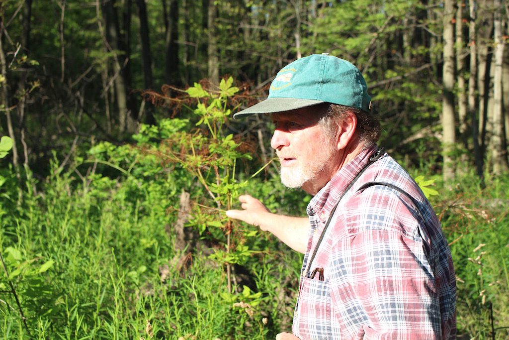
CANCELLED due to rain. Will be reschedule for August. Please keep your eyes on calendar. Join wetlands expert Bruce Mackenzie, while we visit a lesser known area of Fletcher Creek Ecological Preserve which is the north of main entrance. We will experience stories that begin at the foot of the Galt Moraine. A restored gravel pit, large cold water springs that are sources of Spencer Creek, a cedar swamp forest and a hemlock dominated woodlot. Taking us through time from the glaciers to today. We will see how nature reacts and heals. This is leisurely with a number of stops. Bring hiking boots that can take some wet and be prepared for some uneven footing with grass and roots as this is a little used section. Bring water, snacks and your own personal first aid. There are no facilities here.
Parking is on the road Concession Rd 7, approximately 1 km north of Gore Rd, north of Fletcher Creek Reserve Parking lot. From Hamilton go north on highway 6 and turn left (west) on Gore Road which is north of Freelton. Contact hike leader Bron brontreg@cogeco.ca for more information or text on day of to cancel 905-334-4013
Car Hike: Spring Flowers Hike
https://hikesstaging.brucetrail.org/event/car-hike-spring-flowers-hike/Sorry, the registration cut-off time for this hike has been reached.Not a member? Click here to join today!Hosting Club: Toronto
Category: Car Hike
Location (Google Maps): Meet at the Parking Area on the north side of Hockley Road just east of the Nature Reserve. BTC Guide Map 18Hike Leader(s): Al Brown Click here to contact Hike Leader(s)
Pace: Moderate
Terrain: HillyDescription
We will hike 14 Km. through one of the hilliest parts of the Bruce Trail. As well as giving a good workout, spring flowers should be abundant.After the hike those interested are invited to go to the Hockley Valley Resort for refreshments.
Harrison Park Loop via Inglis Falls
https://hikesstaging.brucetrail.org/event/harrison-park-loop-via-inglis-falls-3/Sorry, the registration cut-off time for this hike has been reached.Not a member? Click here to join today!Hosting Club: Sydenham
Category: General Hike
Location (Google Maps): Parking Lot at Harrison Park, Owen Sound, in front of Harrison Park Inn, north of km 96.7 (Map 32).Hike Leader(s): Ian Mills Click here to contact Hike Leader(s)
Pace: Medium: 3 to 4 km/h
Terrain: Strenuous: Hilly with steep climbs and some poor footing., There might be muddy sections., There might be sections with water on the trail.
Distance: 10 kmDescription
We will take the Harrison Park side trail north/east to the main trail and loop via Inglis Falls before returning to Harrison Park side trail and parking via Creamery Hill side trail. If you are unable to register please call or text Ian Mills @ 416-848-8818. - 30April 30, 2023
Urban Walk: Loop hike on Humber River to High Park
https://hikesstaging.brucetrail.org/event/urban-walk-loop-hike-on-humber-river-to-high-park/Sorry, the registration cut-off time for this hike has been reached.Not a member? Click here to join today!Hosting Club: Toronto
Category: Urban Walk
Location (Google Maps): We will meet each other in front of the Old Mill Subway Station.Hike Leader(s): Mehrnoush Ahmadi; Andrew Proczek Click here to contact Hike Leader(s)
Pace: Moderate
Terrain: Variable
Distance: 10 to 17 Km.with dropoutsDescription
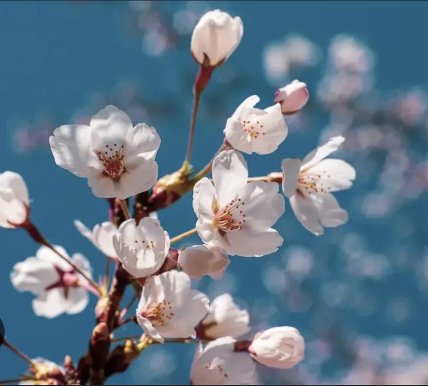
You wander through the enchanting cherry blossom wonderland of High Park, Toronto, be captivated by the sweet, delicate fragrance that fills the air. Let the gentle aroma of the blossoms transport you to a world of peace and serenity. Every breath you take is a sensory experience that will awaken your soul and renew your spirit. Indulge in the beauty of nature and immerse yourself in the aroma of the cherry blossoms in High Park.We plan to:
We are planning a hike that includes a few short breaks on the way and a lunch break at the park. For those who prefer a shorter distance, there is a dropout point available at the High Park Subway Station. On the return trip, we will pass through Rennie Park and Swansea Village, which have some hills and stairs. If you are arriving by car, there is a free parking lot located behind the Old Mill Public Parking, just after the Old Mill Bridge. Public washrooms are available at km 5 and km 8, and you can refill your water bottles at these locations.After the hike, there will be an option to join us for a refreshment stop.
Peak bloom varies according to the weather conditions. As of Apr 16 the Sakura Cherry Blossom bloom is expected to begin between April 20-28.
Urban Walk: Whitby Shores and Lynde Shores
https://hikesstaging.brucetrail.org/event/urban-walk-whitby-shores/Sorry, the registration cut-off time for this hike has been reached.Not a member? Click here to join today!Hosting Club: Toronto
Category: Urban Walk
Location (Google Maps): Whitby, OntarioHike Leader(s): Brian Rideout Click here to contact Hike Leader(s)
Pace: Moderate
Terrain: Flat
Distance: 12.5 KMDescription
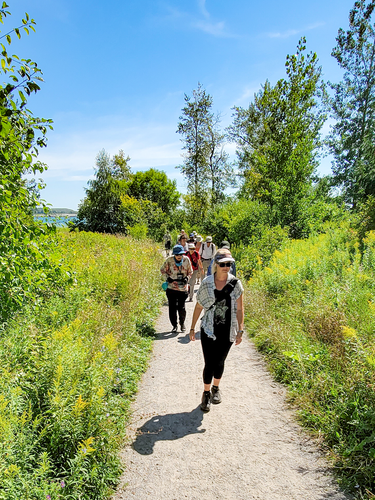
Please read carefully. Some details have changed since the original posting.On Sunday April 30, 2023, please join me by 9:00 am under the clock in the Great Hall of Union Station. We will take the 9:20 am eastbound train to Whitby. We will hike a loop that will take us south to Lake Ontario, west and north to Victoria St, west to Lynde Shores Conversation where we will do a loop down to Lake Ontario and back, and then to the pub stop before returning to Whitby GO and back for a distance of (new) 12.5 km. There are washrooms at Union Station, Whitby GO and on the train. Bring at least two liters of water and a light snack. Our pub stop will be The Royal Oak – Whitby Shores at km 11.7.Here is an online map (new) of our route: Whitby Shores and Lynde ShoresYou can buy a GO Transit day pass for $10 here https://tickets.gotransit.com/en-us/?&ticket_adult=1&start_address=UN&end_address=WHSydenham Club Spring Social
https://hikesstaging.brucetrail.org/event/sydenham-club-spring-social/Sorry, the registration cut-off time for this hike has been reached.Not a member? Click here to join today!Hosting Club: Sydenham
Category: Hike & Potluck
Location (Google Maps): Kemble Sarawak United Church, 319940 Kemble Rock Road, on the southwest corner of Kemble Rock Road and Concession 20.Hike Leader(s): Destinee Click here to contact Hike Leader(s)
Pace: Leisurely: 3 km/h or less, Medium: 3 to 4 km/h
Terrain: Easy: Mostly flat and good footing., Moderate: Some hills and/or poor footing, Strenuous: Hilly with steep climbs and some poor footing.Description
Join us for a hike, browse our displays, meet club members, executive and volunteers, make new friends and enjoy a potluck supper. Bring your family and friends. Non-members are welcome. Preregistration is not required.Hikes begin at 2 pm. There will be a shorter, easier hike and a longer, more difficult hike. This is an opportunity to see our latest property acquisition – Maple Cross Extension.
The potluck will begin around 5 pm. Please bring a dish to share (at least 6 servings), a serving utensil and a plate, cutlery and waterbottle or glass for your own use.
We hope to see you there!
- 01May 1, 2023
Caledon Hills end to end 3 of 4
https://hikesstaging.brucetrail.org/event/caledon-hills-end-to-end-3-of-4/Sorry, the registration cut-off time for this hike has been reached.Not a member? Click here to join today!Hike open to BTC Members only.
Hosting Club: Niagara
Category: Car Pool
Location (Google Maps): Meet on 4th Line EHS (km 55.1) north of 5 Sideroad, carpool to km 35.2, Glenhaffy Rd.
NOTE, we had to do this hike on May 1st because of road work on the Escarpment RD.Hike Leader(s): Vince Zvonar Click here to contact Hike Leader(s)
Pace: Brisk
Terrain: Moderate
Distance: 19.9Description
Crawford Lake CA
https://hikesstaging.brucetrail.org/event/crawford-lake-ca/Sorry, the registration cut-off time for this hike has been reached.Not a member? Click here to join today!Hosting Club: Iroquoia
Category: General Hike
Location (Google Maps): Crawford Lake Conservation AreaHike Leader(s): Bronwen Tregunno Click here to contact Hike Leader(s)
Pace: Leisurely – 3km/hr or less
Terrain: Moderate – Some hills and/or some poor footing
Distance: 7 kmDescription
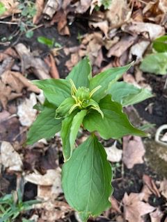
We’ll check out the spring flowers starting at the BT side trail then following the main trail as it hugs the escarpment past the lookout. Bring snack, water, insect repellant, sun filter, & personal first aid kit. We can also look in on the historical reconstruction of indigenous village. Washrooms on site. Reservations required and entrance fee in effect for non Conservation Halton annual pass holders https://www.conservationhalton.ca/ Meet at lower parking lot. Please come slightly early so we can get started right at 9:30 am. Contact Bron brontreg@cogeco.ca or 905-334-4013 (text or call) for any questions. - 02May 2, 2023
8:00 NEW TIME Long Hike Wiley Road Short Hills
https://hikesstaging.brucetrail.org/event/800-new-time-long-hike-wiley-road-short-hills/Sorry, the registration cut-off time for this hike has been reached.Not a member? Click here to join today!Hosting Club: Niagara
Category: Loop
Location (Google Maps):Short Hills Wiley Road Entrance
Hike Leader(s): Alan Laver Click here to contact Hike Leader(s)
Pace: Medium
Terrain: Moderate
Distance: 10kmDescription
Explore Short Hills and the majestic side trails of Scarlett Tanager, Hemlock. Swayze Falls and Terrace. Register for each hike
Bring Poles water, snack, sunscreen and bug spray and dress for the weather
9:15 Short hike - Pelham Road, Short Hills
https://hikesstaging.brucetrail.org/event/915-short-hike-pelham-road-short-hills-41/Sorry, the registration cut-off time for this hike has been reached.Not a member? Click here to join today!Hosting Club: Niagara
Category: Loop
Location (Google Maps): Pelham Road entrance, Short Hills Provincial ParkHike Leader(s): janet davey Click here to contact Hike Leader(s)
Pace: Medium
Terrain: Moderate
Distance: 6 kmsDescription
Hike the main and side trails in Short Hills Provincial Park. Bring hiking boots, water and bug spray.Spring Wildflowers and Trees - Oliver Creek and Walker's Woods
https://hikesstaging.brucetrail.org/event/spring-wildflowers-and-trees-oliver-creek-and-walkers-woods-2/Sorry, the registration cut-off time for this hike has been reached.Not a member? Click here to join today!Hosting Club: Dufferin Hi-Land
Category: Tuesday Hike
Location (Google Maps):Dufferin Hi-Land Section, Map 20. Meet at north end of 2nd Line EHS off 8 Sideroad where the road ends and the 2nd Line EHS Side Trail begins. Park on the west side of 2nd Line south of the first driveway.
Hike Leader(s): Brenda Carling, Les Babbage Click here to contact Hike Leader(s)
Pace: Leisurely
Terrain: Moderate
Distance: 6 km; Short hike: 3 kmDescription
Brenda Carling will lead us as we explore and identify the trees and blooming wildflowers along the Oliver Creek Side Trail and the Main Trail through Walker’s Woods. Bring a camera, snacks and water.
Rod's Talk and William's Walk
https://hikesstaging.brucetrail.org/event/rods-talk-and-williams-walk/Sorry, the registration cut-off time for this hike has been reached.Not a member? Click here to join today!Hosting Club: Peninsula
Location (Google Maps): 8 Sylvia St., Lion’s Head
Hike Leader(s): Marg Glendon Click here to contact Hike Leader(s)
Pace: Leisurely
Terrain: Easy, Moderate
Distance: ~3 KMDescription
Bruce Trail Conservancy acknowledges that climate change requires us to think differently about energy and consider ways which will help us to adapt and mitigate the impact of climate change in our environment. Today’s hike will start with an example of alternative energy use for our homes.We will start our day with a visit to Rod’s energy efficient home. Rod will speak about the unusual construction of the buildings (Durisol block), the use of the air source heat pump to provide heating and domestic hot water, net metering with solar PV, and some of their garden projects including rainwater harvesting.
Following our educational start to the day, we will drive to the Lion’s Head Marina to park our vehicles and walk along the Bruce Trail to William’s Cave Side Trail. The trail includes street walking, some uneven terrain and a short rocky approach to view William’s Cave. This cave is a good example of wave action (over thousands of years ago) which pounded against the dolostone rock to create a cave. Then, we retrace our steps to our parked vehicles. The hike includes a spectacular view of the escarpment, rocky shoreline, beautiful green water of Georgian Bay and picturesque harbour and lighthouse. This is a leisurely paced hike. We will finish the morning by having our lunch either at Lion’s Head Beach or near the Lighthouse. Expect to be about 2 ½ hours plus lunch.
Pretty River Valley Spring Flower Hike
https://hikesstaging.brucetrail.org/event/pretty-river-valley-spring-flower-hike/Sorry, the registration cut-off time for this hike has been reached.Not a member? Click here to join today!Hosting Club: Caledon Hills
Category: Tuesday Hikers
Location (Google Maps): Pretty River Valley Provincial Park – Blue Mountains Section. Roadside parking area, west of km 53.1 on the 6th Sideroad, where the John Haigh Side Trail crosses 6th Line. Map 23.Hike Leader(s): Doris Harper Click here to contact Hike Leader(s)
Pace: Medium – 3 to 4 km/hour
Terrain: Moderate – some hills and/or some poor footing
Distance: 12 kmDescription
Spring is arriving and the trails in Pretty River will be lined with Trilliums and other spring flowers. On this hike we will also enjoy great views of Georgian Bay, and hike to the highest elevation point of the Bruce Trail.We will hike the main trail, part of the John Haigh Side Trail, and the Pretty River Side Trail, to form an 11 -12 km loop.
Bring, water, snacks, bug spray, sunscreen, poles suggested.