
Hike Schedule
Join us for a hike! Registration required.
All hikes available to BTC members. Some hikes are open to non-members.
See Refund Policy for Paid Hikes >
TIP: The calendar view displays up to 7 hikes on a day, but often there are more. Click “View more events” to see them all.
Categories
- 05February 5, 2023
Dufferin E2E 1/3
https://hikesstaging.brucetrail.org/event/dufferin-e2e-1-3/Sorry, the registration cut-off time for this hike has been reached.Not a member? Click here to join today!Hike open to BTC Members only.
Hosting Club: Toronto
Category: Car Hike
Location (Google Maps): We will meet at km 18.7. Coordinates N 44.117420,W 80.128361. A 100 meters trail leads to the main trail.Hike Leader(s): Smadar Junkin Click here to contact Hike Leader(s)
Pace: Brisk
Terrain: Hilly, Variable
Distance: 18.7 kmDescription
First hike of three to complete the Dufferin section end to end. This is a winter hike. Could be hiking in deep snow. Make sure to bring snowshoes and icers. Dress in layers. Bring 2 litres of water. We will follow the covid 19 instructions. We will shuttle to km 0.0. Please note that we will park in Mono centre. It is a paid parking. We will all share the parking cost.Car Hike: Etobicoke Creek 1st of 3
https://hikesstaging.brucetrail.org/event/car-hike-etobicoke-creek-1st-of-3/Sorry, the registration cut-off time for this hike has been reached.Not a member? Click here to join today!Hosting Club: Toronto
Category: Car Hike
Location (Google Maps): Tim Hortons at Mayfield and Hwy. 10 (Hurontario Street ) BramptonHike Leader(s): Mike Dhesi Click here to contact Hike Leader(s)
Pace: Leisurely
Terrain: Flat
Distance: 9KMDescription
We will follow the Etobicoke Creek South, hoping to finish around Brampton city hall. Please arrive at least 15-20 minutes prior to the start time.Speyside to Hilton Falls Conservation Area
https://hikesstaging.brucetrail.org/event/speyside-to-hilton-falls-conservation-area/Sorry, the registration cut-off time for this hike has been reached.Not a member? Click here to join today!Hosting Club: Iroquoia
Category: General Hike
Location (Google Maps): Hilton Falls Conservation Area main entrance, 4985 Campbellville Road, Milton L7P 0G3.Hike Leader(s): Stuart Law Click here to contact Hike Leader(s)
Pace: Medium – 3 to 4 km/hr
Terrain: Moderate – Some hills and/or some poor footing, Slippery Sections Likely, Strenuous – Hilly with steep climbs and some poor footing
Distance: 17 km.Description
Join us for a winter wonderland shuttle hike on rocky terrain with some great views from the heights of the escarpment. We will take in the Main Trail and the Charles Hildebrand and Philip Gosling Side Trails. Please bring icers, a snack, a lunch, water, a warm drink, and an appreciation of nature and good people. Conservation Halton reservations required at Hilton Falls CA. We will not be taking in the Falls on this hike but we will be seeing a smaller waterfall on the trail. Possible optional pub stop after.Hilton Falls Conservation Area
https://hikesstaging.brucetrail.org/event/hilton-falls-conservation-area-3/Sorry, the registration cut-off time for this hike has been reached.Not a member? Click here to join today!Hosting Club: Iroquoia, Peninsula
Category: General Hike
Location (Google Maps): Hilton Falls Conservation AreaHike Leader(s): Pati Greenwood, Jeff Dowsett Click here to contact Hike Leader(s)
Pace: Medium – 3 to 4 km/hr
Terrain: Dependent on Conditions, Moderate – Some hills and/or some poor footing
Distance: 12 kmDescription
We will hike through Hilton Falls Conservation Area on the Hilton Falls Side Trail and Conservation Area trails. Bring water and snacks. Wear clothing and footwear appropriate to weather conditions. Icers and/or snowshoes may be required, depending on conditions.Park in Hilton Falls Conservation Area parking lot, accessible from Campbellville Road. Reservations are required. For further information see Conservation Halton web site: https://www.conservationhalton.ca/parks/hilton-falls/ Please arrive by 9:15 am as we will depart promptly at 9:30 am.
An optional pub stop will take place following the hike – details all be provided a few days prior to the hike.

Sunday Rambles - Fisher’s Pond
https://hikesstaging.brucetrail.org/event/sunday-rambles-fishers-pond/Sorry, the registration cut-off time for this hike has been reached.Not a member? Click here to join today!Hike open to BTC Members only.
Hosting Club: Iroquoia
Category: General Hike
Location (Google Maps): Cityview Park Burlington – south parking lotHike Leader(s): Colleen Mabalay, Carol Swanson Click here to contact Hike Leader(s)
Pace: Medium – 3 to 4 km/hr
Terrain: Moderate – Some hills and/or some poor footing
Distance: 7-10kmDescription
Hike to Fishers Pond pond and back. Bring water, snack and icers.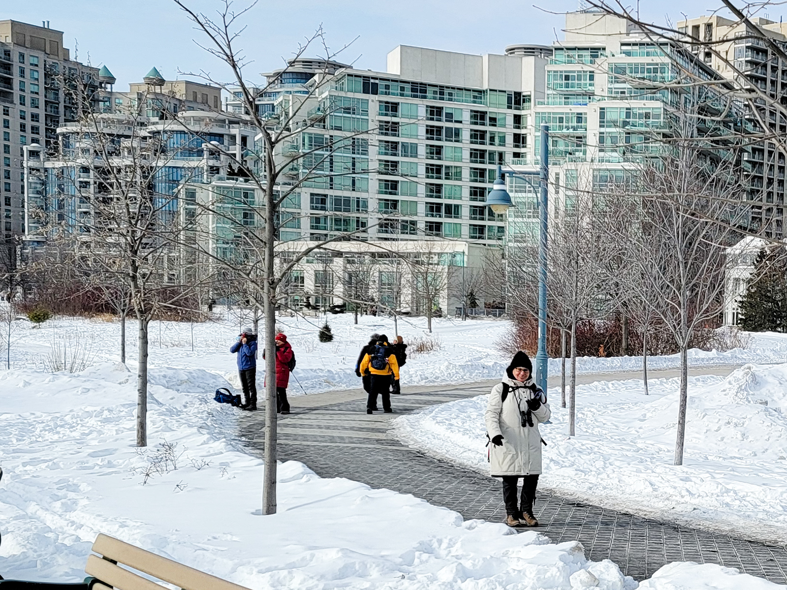
Urban Walk: Waterfront Trail 4/8 - Parklawn
https://hikesstaging.brucetrail.org/event/urban-walk-waterfront-trail-4-8-parklawn-2/Sorry, the registration cut-off time for this hike has been reached.Not a member? Click here to join today!Hosting Club: Toronto
Location (Google Maps): Toronto Waterfront Trail
Hike Leader(s): Brian Rideout Click here to contact Hike Leader(s)
Pace: Moderate
Terrain: Flat
Distance: 9.1Description
Please join me at Old Mill Station no later than 9:12 am. We will take the 66 bus departing 9:27 am, arriving 9:40 am. If you want to meet us at Parklawn and Lakeshore, please be there by 9:40 am. We start hiking at 9:50 am.We will hike east along the lake to Spadina. The estimated distance is 9.1 km. Here is an online map of our route Parklawn to SpadinaBring a snack, at least 2 liters of water, and icers. Dress for cold weather.Harrison Park/Palisades Side Trail Loop Hike & Refreshments
https://hikesstaging.brucetrail.org/event/harrison-park-palisades-loop/Sorry, the registration cut-off time for this hike has been reached.Not a member? Click here to join today!Hosting Club: Sydenham
Category: Snowshoe Hike
Location (Google Maps): Parking lot at Harrison Park, Owen Sound, in front of the Harrison Park Inn, north of km 96.7 (Map 32)Hike Leader(s): Maureen McFarland Click here to contact Hike Leader(s)
Pace: Medium: 3 to 4 km/h
Terrain: Moderate: Some hills and/or poor footing, There might be icy and slippery sections.
Distance: 5 kmsDescription
This hike takes us along the main trail to the Palisades Side Trail. We meet up with the Harrison Park Side Trail to return to the parking lot. Depending upon the conditions, snowshoes or icers will be needed. The Palisades area can be challenging but we will take it slowly. Hiking poles are recommended. Approximately 2 to 2 1/2 hours. Refreshments afterwards at the Harrison Park Inn. If you are unable to register, please call or text Maureen at 647-918-4180.2:00 pm Glenridge Quarry Loop
https://hikesstaging.brucetrail.org/event/200-pm-glenridge-quarry-loop-2/Sorry, the registration cut-off time for this hike has been reached.Not a member? Click here to join today!Hike open to BTC Members only.
Hosting Club: Niagara
Category: Loop
Location (Google Maps): Glenridge Quarry Parking Lot, St. David’s Road, Map 3Hike Leader(s): Larry Lloyd Click here to contact Hike Leader(s)
Pace: Leisurely
Terrain: Easy
Distance: 6 kmDescription
A combination of open trails with spectacular views across Lake Ontario and wooded trails including the main trail.