
Hike Schedule
Join us for a hike! Registration required.
All hikes available to BTC members. Some hikes are open to non-members.
See Refund Policy for Paid Hikes >
TIP: The calendar view displays up to 7 hikes on a day, but often there are more. Click “View more events” to see them all.
Categories
- 05February 5, 2023
Dufferin E2E 1/3
https://hikesstaging.brucetrail.org/event/dufferin-e2e-1-3/Sorry, the registration cut-off time for this hike has been reached.Not a member? Click here to join today!Hike open to BTC Members only.
Hosting Club: Toronto
Category: Car Hike
Location (Google Maps): We will meet at km 18.7. Coordinates N 44.117420,W 80.128361. A 100 meters trail leads to the main trail.Hike Leader(s): Smadar Junkin Click here to contact Hike Leader(s)
Pace: Brisk
Terrain: Hilly, Variable
Distance: 18.7 kmDescription
First hike of three to complete the Dufferin section end to end. This is a winter hike. Could be hiking in deep snow. Make sure to bring snowshoes and icers. Dress in layers. Bring 2 litres of water. We will follow the covid 19 instructions. We will shuttle to km 0.0. Please note that we will park in Mono centre. It is a paid parking. We will all share the parking cost.Car Hike: Etobicoke Creek 1st of 3
https://hikesstaging.brucetrail.org/event/car-hike-etobicoke-creek-1st-of-3/Sorry, the registration cut-off time for this hike has been reached.Not a member? Click here to join today!Hosting Club: Toronto
Category: Car Hike
Location (Google Maps): Tim Hortons at Mayfield and Hwy. 10 (Hurontario Street ) BramptonHike Leader(s): Mike Dhesi Click here to contact Hike Leader(s)
Pace: Leisurely
Terrain: Flat
Distance: 9KMDescription
We will follow the Etobicoke Creek South, hoping to finish around Brampton city hall. Please arrive at least 15-20 minutes prior to the start time.Speyside to Hilton Falls Conservation Area
https://hikesstaging.brucetrail.org/event/speyside-to-hilton-falls-conservation-area/Sorry, the registration cut-off time for this hike has been reached.Not a member? Click here to join today!Hosting Club: Iroquoia
Category: General Hike
Location (Google Maps): Hilton Falls Conservation Area main entrance, 4985 Campbellville Road, Milton L7P 0G3.Hike Leader(s): Stuart Law Click here to contact Hike Leader(s)
Pace: Medium – 3 to 4 km/hr
Terrain: Moderate – Some hills and/or some poor footing, Slippery Sections Likely, Strenuous – Hilly with steep climbs and some poor footing
Distance: 17 km.Description
Join us for a winter wonderland shuttle hike on rocky terrain with some great views from the heights of the escarpment. We will take in the Main Trail and the Charles Hildebrand and Philip Gosling Side Trails. Please bring icers, a snack, a lunch, water, a warm drink, and an appreciation of nature and good people. Conservation Halton reservations required at Hilton Falls CA. We will not be taking in the Falls on this hike but we will be seeing a smaller waterfall on the trail. Possible optional pub stop after.Hilton Falls Conservation Area
https://hikesstaging.brucetrail.org/event/hilton-falls-conservation-area-3/Sorry, the registration cut-off time for this hike has been reached.Not a member? Click here to join today!Hosting Club: Iroquoia, Peninsula
Category: General Hike
Location (Google Maps): Hilton Falls Conservation AreaHike Leader(s): Pati Greenwood, Jeff Dowsett Click here to contact Hike Leader(s)
Pace: Medium – 3 to 4 km/hr
Terrain: Dependent on Conditions, Moderate – Some hills and/or some poor footing
Distance: 12 kmDescription
We will hike through Hilton Falls Conservation Area on the Hilton Falls Side Trail and Conservation Area trails. Bring water and snacks. Wear clothing and footwear appropriate to weather conditions. Icers and/or snowshoes may be required, depending on conditions.Park in Hilton Falls Conservation Area parking lot, accessible from Campbellville Road. Reservations are required. For further information see Conservation Halton web site: https://www.conservationhalton.ca/parks/hilton-falls/ Please arrive by 9:15 am as we will depart promptly at 9:30 am.
An optional pub stop will take place following the hike – details all be provided a few days prior to the hike.

Sunday Rambles - Fisher’s Pond
https://hikesstaging.brucetrail.org/event/sunday-rambles-fishers-pond/Sorry, the registration cut-off time for this hike has been reached.Not a member? Click here to join today!Hike open to BTC Members only.
Hosting Club: Iroquoia
Category: General Hike
Location (Google Maps): Cityview Park Burlington – south parking lotHike Leader(s): Colleen Mabalay, Carol Swanson Click here to contact Hike Leader(s)
Pace: Medium – 3 to 4 km/hr
Terrain: Moderate – Some hills and/or some poor footing
Distance: 7-10kmDescription
Hike to Fishers Pond pond and back. Bring water, snack and icers.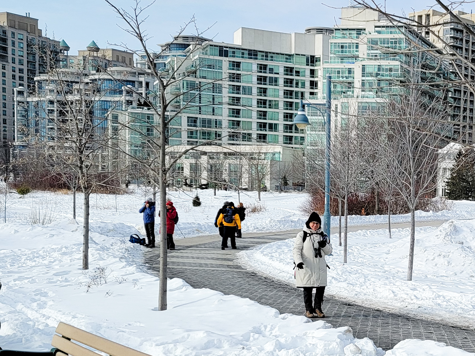
Urban Walk: Waterfront Trail 4/8 - Parklawn
https://hikesstaging.brucetrail.org/event/urban-walk-waterfront-trail-4-8-parklawn-2/Sorry, the registration cut-off time for this hike has been reached.Not a member? Click here to join today!Hosting Club: Toronto
Location (Google Maps): Toronto Waterfront Trail
Hike Leader(s): Brian Rideout Click here to contact Hike Leader(s)
Pace: Moderate
Terrain: Flat
Distance: 9.1Description
Please join me at Old Mill Station no later than 9:12 am. We will take the 66 bus departing 9:27 am, arriving 9:40 am. If you want to meet us at Parklawn and Lakeshore, please be there by 9:40 am. We start hiking at 9:50 am.We will hike east along the lake to Spadina. The estimated distance is 9.1 km. Here is an online map of our route Parklawn to SpadinaBring a snack, at least 2 liters of water, and icers. Dress for cold weather.Harrison Park/Palisades Side Trail Loop Hike & Refreshments
https://hikesstaging.brucetrail.org/event/harrison-park-palisades-loop/Sorry, the registration cut-off time for this hike has been reached.Not a member? Click here to join today!Hosting Club: Sydenham
Category: Snowshoe Hike
Location (Google Maps): Parking lot at Harrison Park, Owen Sound, in front of the Harrison Park Inn, north of km 96.7 (Map 32)Hike Leader(s): Maureen McFarland Click here to contact Hike Leader(s)
Pace: Medium: 3 to 4 km/h
Terrain: Moderate: Some hills and/or poor footing, There might be icy and slippery sections.
Distance: 5 kmsDescription
This hike takes us along the main trail to the Palisades Side Trail. We meet up with the Harrison Park Side Trail to return to the parking lot. Depending upon the conditions, snowshoes or icers will be needed. The Palisades area can be challenging but we will take it slowly. Hiking poles are recommended. Approximately 2 to 2 1/2 hours. Refreshments afterwards at the Harrison Park Inn. If you are unable to register, please call or text Maureen at 647-918-4180.2:00 pm Glenridge Quarry Loop
https://hikesstaging.brucetrail.org/event/200-pm-glenridge-quarry-loop-2/Sorry, the registration cut-off time for this hike has been reached.Not a member? Click here to join today!Hike open to BTC Members only.
Hosting Club: Niagara
Category: Loop
Location (Google Maps): Glenridge Quarry Parking Lot, St. David’s Road, Map 3Hike Leader(s): Larry Lloyd Click here to contact Hike Leader(s)
Pace: Leisurely
Terrain: Easy
Distance: 6 kmDescription
A combination of open trails with spectacular views across Lake Ontario and wooded trails including the main trail. - 06February 6, 2023
Dufferin Hi-land E2E # 2
https://hikesstaging.brucetrail.org/event/dufferin-hi-land-e2e-2/Sorry, the registration cut-off time for this hike has been reached.Not a member? Click here to join today!Hike open to BTC Members only.
Hosting Club: Toronto
Category: Car Hike
Location (Google Maps): Km 18.7 coordinates N 44.117420,W 80.128361 centre street south of the 5 Sideroad. A. 100 meters south of the main trail.Hike Leader(s): Smadar Junkin Click here to contact Hike Leader(s)
Pace: Brisk
Terrain: Hilly, Variable
Distance: 19 kmDescription
We will shuttle to km 37.7 and hike to the cars. Bring snowshoes and icers, 2 litres of water. We will follow all Covid 19 instructions. Please note that there may be a need to change the date due to winter conditions.9:00 Niagara Benchlands Badge Hike
https://hikesstaging.brucetrail.org/event/900-niagara-benchlands-badge-hike/Sorry, the registration cut-off time for this hike has been reached.Not a member? Click here to join today!Hosting Club: Niagara
Category: Hike
Location (Google Maps):We will meet at Jordan Hollow Park, King St (Hwy 81) across from Boo’s Restaurant 3039 King St, Jordan Station
After completing the Ball’s Falls hike, we will drive to Jordan Main Street Parking Lot beside RPM Bakehouse ( 43.1492718 -79.3696930) and complete the walking tour of the town.
Hikers have the option to do the next hike from Mountainview Conservation (43.157888 -79.498415) independently or with the leader on the same day.Hike Leader(s): Lauren Doig Click here to contact Hike Leader(s)
Pace: Medium
Terrain: Moderate
Distance: 9-15 km dependent on doing 3rd hike from Mountainview Conservation Area the same dayDescription
This series of 3 hikes is a joint effort of NBTC and the Lincoln Museum to introduce hikers to the Niagara Benchlands area. We will complete the Ball’s Falls hike first, then move to the town of Jordan and explore the historical homes in town as well as the Museum if it is open.Please refer to the following site for badge requirements: http://niagarabrucetrail.club/wp/wp-content/uploads/2022/12/Niagara-Benchlands-Badge.pdf
It is also recommended to download the following pdf: https://qrco.de/bch3Qi and print the map on page 10 of the PDF
After these 2 sections are completed, hikers will have the option to 1) continue to Mountainview Conservation to complete the third hike with the hike leader or 2) complete this hike independently when convenient. If #2 is the choice, then hikers will need to submit the required information independently to receive the badge.
If completing all 3 hikes, then badges will be available after the third hike. Members $10, Non members $15
- 07February 7, 2023
7:00 pm Moonlight Hike
https://hikesstaging.brucetrail.org/event/700-pm-moonlight-hike-2/Sorry, the registration cut-off time for this hike has been reached.Not a member? Click here to join today!Hosting Club: Niagara
Category: Hike
Location (Google Maps): Veteran’s Memorial Way, park outsided the Park on King StreetHike Leader(s): Sheila Massey Click here to contact Hike Leader(s)
Pace: Medium
Terrain: Easy
Distance: 5kDescription
Take in the magic of the moon over Lake Ontario and the Niagara River. Counts towards your night hike badge.9:00 Long Hike Wiley Road Short Hills
https://hikesstaging.brucetrail.org/event/900-long-hike-wiley-road-short-hills-11/Sorry, the registration cut-off time for this hike has been reached.Not a member? Click here to join today!Hosting Club: Niagara
Category: Loop
Location (Google Maps):Short Hills Wiley Road Entrance
Hike Leader(s): Alan Laver Click here to contact Hike Leader(s)
Pace: Medium
Terrain: Moderate
Distance: 10kmDescription
Explore Short Hills and the majestic side trails of Scarlett Tanager, Hemlock. Swayze Falls and Terrace. Register for each hike
Bring Poles water, snack and Dress for the weather, Icers and layers/p>
9:15 Short hike, Rotary Park, St Catharines. NOTE LOCATION CHANGE
https://hikesstaging.brucetrail.org/event/915-short-hike-pelham-road-short-hills-37/Sorry, the registration cut-off time for this hike has been reached.Not a member? Click here to join today!Hosting Club: Niagara
Location (Google Maps): Rotary Park, St. Catharines
Hike Leader(s): janet davey Click here to contact Hike Leader(s)
Pace: Medium
Terrain: Moderate
Distance: 6 kilometresDescription
Hike the main and side trails in Short Hills. Bring hiking boots, icers and water.
Cold Creek
https://hikesstaging.brucetrail.org/event/cold-creek/Sorry, the registration cut-off time for this hike has been reached.Not a member? Click here to join today!Hosting Club: Dufferin Hi-Land
Category: Tuesday Hike
Location (Google Maps): For car pooling, meet at parking on the east side of Party City/Winners building in Orangeville, Hwy 10 and 4th Ave. at 8:30 am.
Or meet at Cold Creek Conservation Area on 11th Concession, King, 3.5 km north of King Rd. Park in front of entrance gate for 9:30 am start.Hike Leader(s): Tony Evangelista, Les Babbage, Inge Eckerick, Julie Daley Click here to contact Hike Leader(s)
Pace: Medium
Terrain: Easy, Slippery Sections Likely
Distance: Long hike 6.6 km Short hike 2.5km or 4 kmDescription
We will hike the outer loop, experiencing various types of ecosystems– forests, meadows, wetlands and pine plantations. The shorter hike will return to the parking lot by way of one of the connector trails–North Connector 2.5 km or South Connector 4 km. Bring snacks and water. Icers are recommended. If the snow is deep , snowshoes may be needed.Halton Regional Forest
https://hikesstaging.brucetrail.org/event/halton-regional-forest-4/Sorry, the registration cut-off time for this hike has been reached.Not a member? Click here to join today!Hosting Club: Caledon Hills
Category: Tuesday Hikers
Location (Google Maps): Parking at: 10 Side Road and 4th Line Nassagaweya (trail entrance to Halton Regional Forest).
From Highway 401 West, turn right (north) on Guelph Line, right on 10 Side Rd. it will bend northwards and become 4th Line Nassagaweya; park at the bend, roadside.Hike Leader(s): Mohammad Shafiq Click here to contact Hike Leader(s)
Pace: Medium – 3 to 4 km/hour
Terrain: Moderate – some hills and/or some poor footing
Distance: 13 kmDescription
Will hike trails in Halton Regional Forest, Hilton Falls Conservation Area and a beautiful section of the blue trail overlooking Beaver Dam. Trails are relatively flat with some rocky parts. Snack break at Hilton Falls.
Bring water, snack and a warm drink.
Dress according to weather in layers, icers are required, poles recommended.
Hike leader cell phone: 416-566-0503 (note that reception in hiking area is usually poor, leave messages to callback).
Check your email at 7:30 am, on the hike day, a message will be sent if there is change due to adverse weather or driving conditions .Kimberley Forest
https://hikesstaging.brucetrail.org/event/kimberley-forest/Sorry, the registration cut-off time for this hike has been reached.Not a member? Click here to join today!Hosting Club: Beaver Valley
Location (Google Maps): Beaver Valley section, km 85. Please meet at parking on 7A.
Please access 7A from 7th Line (NOT GREY ROAD 7) sorry about all the 7’s
Map 26-ED 30Hike Leader(s): Kristina Rettie Click here to contact the hike leader.
Pace: Brisk
Terrain: Moderate, Some steep sections
Length of Hike: 7km-10km depending on conditions (2.5-3 hrs)Description
This in and out hike will take us from km 85 southbound to Kimberley Forest side Trail. Once we reach the end of Kimberley Forest we will re-trace our steps northbound. If time and terrain allow we will take a quick in and out of Wodehouse Karst Side Trail before returning back to our cars.Please be prepared with icers and snowshoes
Bring water and a snack
Please no dogs
Text Kristina @ 519-410-9077 for morning of cancelations
Car Hike: Winter Walk and Wonder
https://hikesstaging.brucetrail.org/event/car-hike-winter-walk-and-wonder-2/Sorry, the registration cut-off time for this hike has been reached.Not a member? Click here to join today!Hosting Club: Toronto
Category: Car Hike
Location (Google Maps): Meet at the (roadside) parking area at the end of 17 Sideroad, 730 m northeast of Halton Rd 25. Map 12.Hike Leader(s): Janet Patterson Click here to contact Hike Leader(s)
Pace: Leisurely
Terrain: Variable
Distance: approximately 2 kDescription
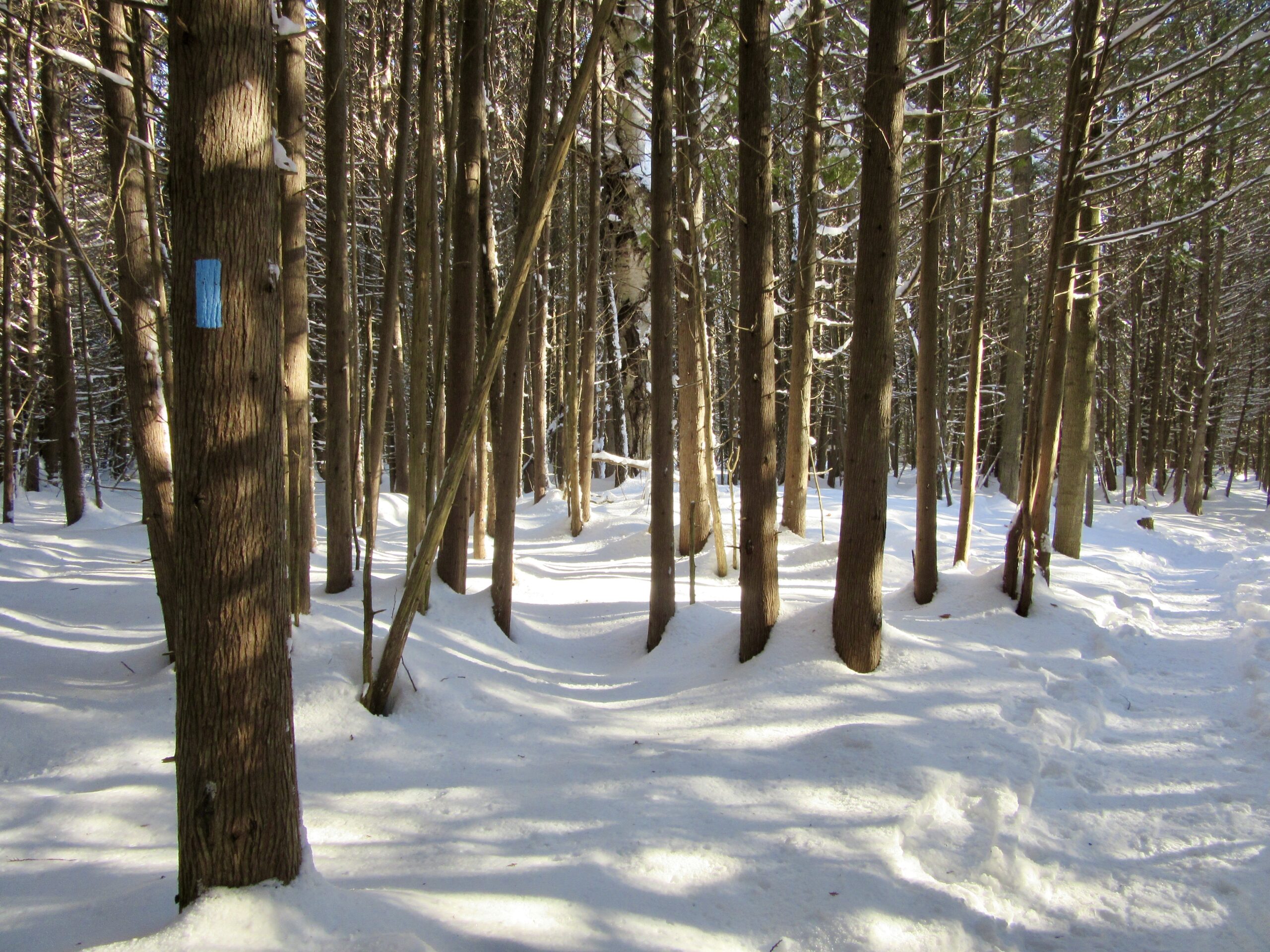
Join us for a slow walk in the woods to observe and identify the impressive variety of trees in this area, without the benefit of examining their leaves! The distinctions found in twigs, buds and bark are just some of the clues we will be seeking, with the assistance of our guide, Adam Brylowski, an ecologist on staff at the BTC.
Please dress for the weather, and along with your curiosity, I suggest a hot drink, water and lunch or snack. End time and distance we’ll travel are estimates, depending on weather snd trail conditions.
This hike is brought to you by the TBTC’s Biodiversity Team. We endeavour to promote the critical role we can all play in protecting and conserving the Niagara Escarpment.
Limit of 10
- 08February 8, 2023

Niagara Winter End to End #6 Woodend Conservation Area to Queenston Southern BTC Terminus
https://hikesstaging.brucetrail.org/event/niagara-winter-end-to-end-6-woodend-conservation-area-to-queenston-southern-btc-terminus/Sorry, the registration cut-off time for this hike has been reached.Not a member? Click here to join today!Hosting Club: Niagara
Category: Car Pool
Location (Google Maps): Meet at Queenston Heights Restaurant Parking lot and Car Pool to WoodendHike Leader(s): Sam Rutherford Click here to contact Hike Leader(s)
Pace: Medium
Terrain: Moderate
Distance: 14.5 kmsDescription
We will be car pooling, Bring Icers and poles. No dogs. To earn your Niagara Winter End to End badge, it must be completed between December 21, 2022 to March 21, 2023.
Because of the potential for bad winter trail conditions we have broken this e2e into 6 hikes rather than 5If you have completed all 6 hikes bring $10 for the coveted Winter End to End Badge
Car Hike: Caledon E2E and winter badge 3/4
https://hikesstaging.brucetrail.org/event/car-hike-caledon-e2e-and-winter-badge-3-4/Sorry, the registration cut-off time for this hike has been reached.Not a member? Click here to join today!Hike open to BTC Members only.
This is a Multi-Day Hike
You are signing up for the following dates and times:
2023-02-08 at 08:30Hosting Club: Toronto
Category: Car Hike
Location (Google Maps): Km 35.2 coordinates N 43.937967,W 79.934650Hike Leader(s): Smadar Junkin Click here to contact Hike Leader(s)
Pace: Brisk
Terrain: Challenging, Hilly
Distance: 17 km.Description
We will shuttle to km 52 and walk back, some challenging hills. Bring snowshoes and icers. Bring 2 litres of water. This hike will also be used for the winter badge as we will make the time for it. Make sure to check your email before the hike for a change of date because of bad weather. We will follow covid 19 rules.Lavender Cemetery
https://hikesstaging.brucetrail.org/event/lavender-cemetery-noisy-river-preserve/Sorry, the registration cut-off time for this hike has been reached.Not a member? Click here to join today!Hosting Club: Blue Mountains
Category: Register on-line or sign-in morning of hike
Location (Google Maps): Hike meets in the parking lot behind Tim Hortons on First St. in Collingwood.Hike Leader(s): Terry Kimmerly Click here to contact Hike Leader(s)
Pace: Medium – 3 to 4 km/hr
Terrain: Moderate – Some hills and/or some poor footing
Distance: 8kmDescription
Please be prepared with icers’s or snowshoes.We will park at Lavender Cemetery roadside parking about 0.5 km east of Lavender Hill Rd on Mulmur-Nottawasaga TownLine. We will hike from the cemetery (1km) over to the start of the Blue Mountains section. We will snowshoe for approximately 3km and then turn around heading back to the cars. This hike offers a variety of terrain, along crevices, through forest, fields. Bring snacks and adequate water.Hamilton Rail Trail
https://hikesstaging.brucetrail.org/event/hamilton-rail-trail/Sorry, the registration cut-off time for this hike has been reached.Not a member? Click here to join today!Hosting Club: Iroquoia
Category: Good Companions
Location (Google Maps): 101 Osler Dr in Dundas, behind the Shoppers Drug Mart, in the parking area adjacent to the trailheadHike Leader(s): Gayle Laws Click here to contact Hike Leader(s)
Pace: Medium – 3 to 4 km/hr
Terrain: Easy – Mostly flat and usually good footing
Distance: 9 kmDescription
This leisurely hike is on a wide path, mostly flat but with a slight ascent to the train station. We will stop at the station for a break and snack before heading back. Please arrive at 9:45 in the parking lot for a 10:00 sharp start. Dress warmly and wear good footwear in case there is some ice on the path. Sometimes we need encouragement to get out in the winter, so join in this social walk. The hike will be cancelled if the weather is poor weather.