
Hike Schedule
Join us for a hike! Registration required.
All hikes available to BTC members. Some hikes are open to non-members.
See Refund Policy for Paid Hikes >
TIP: The calendar view displays up to 7 hikes on a day, but often there are more. Click “View more events” to see them all.
Categories
- 18October 18, 2023
Harrison Park and Inglis Falls Loop with an opportunity for lunch at the Inn
https://hikesstaging.brucetrail.org/event/harrison-park-and-inglis-falls-loop-with-an-opportunity-for-lunch-at-the-inn/Sorry, the registration cut-off time for this hike has been reached.Not a member? Click here to join today!Hosting Club: Sydenham
Category: General Hike
Location (Google Maps):Parking lot in Harrison Park by the Harrison Park Inn (north of km 96.7) (Map 32).
Hike Leader(s): Sheri Hatcher Click here to contact Hike Leader(s)
Pace: Brisk: 4 to 5 km/h
Terrain: Moderate: Some hills and/or poor footing
Distance: Approximately 10 kmDescription
On this 10 km hike, we encounter a variety of terrain. We start on the Harrison Park Side Trail which meets both the main trail (upper) and the Palisades Side Trail (lower). The main trail is quite spectacular with rocky and steep sections. Weather permitting, we will do this section but if it appears too slippery we will do the Palisades Side Trail. Both trails will take us back to the main trail. From there we will head to Inglis Falls and return via the Creamery Side Trail to Harrison Park. After the hike, there will be an opportunity to enjoy lunch at the Harrison Park Inn. Please arrive 15 minutes before the start time.Lavender
https://hikesstaging.brucetrail.org/event/lavender-4/Sorry, the registration cut-off time for this hike has been reached.Not a member? Click here to join today!Hosting Club: Blue Mountains
Category: Register in person the morning of hike.
Location (Google Maps): Hike meets in the parking lot behind Tim Hortons on First St. in Collingwood.Hike Leader(s): Anhong MacNeil Click here to contact Hike Leader(s)
Pace: Medium – 3 to 4 km/hr
Terrain: Moderate – Some hills and/or some poor footing, Strenuous – Hilly with steep climbs and some poor footing
Distance: 11.5kmDescription
We will drive to the start of the hike at a roadside parking area near the cemetery located 1 km east of Lavender on Mulmur/Nottawasaga Townline. We will hike along the road until we reach Lavender where km 0.0 is the start of the Blue Mountains section. We will continue hiking until we reach the bridge at the Noisy River Nature Reserve and then retrace our steps. This hike offers a variety of terrain as we proceed along crevices, through forest, fields, and beautiful wetlands before reaching the Noisy River. Bring lunch and water.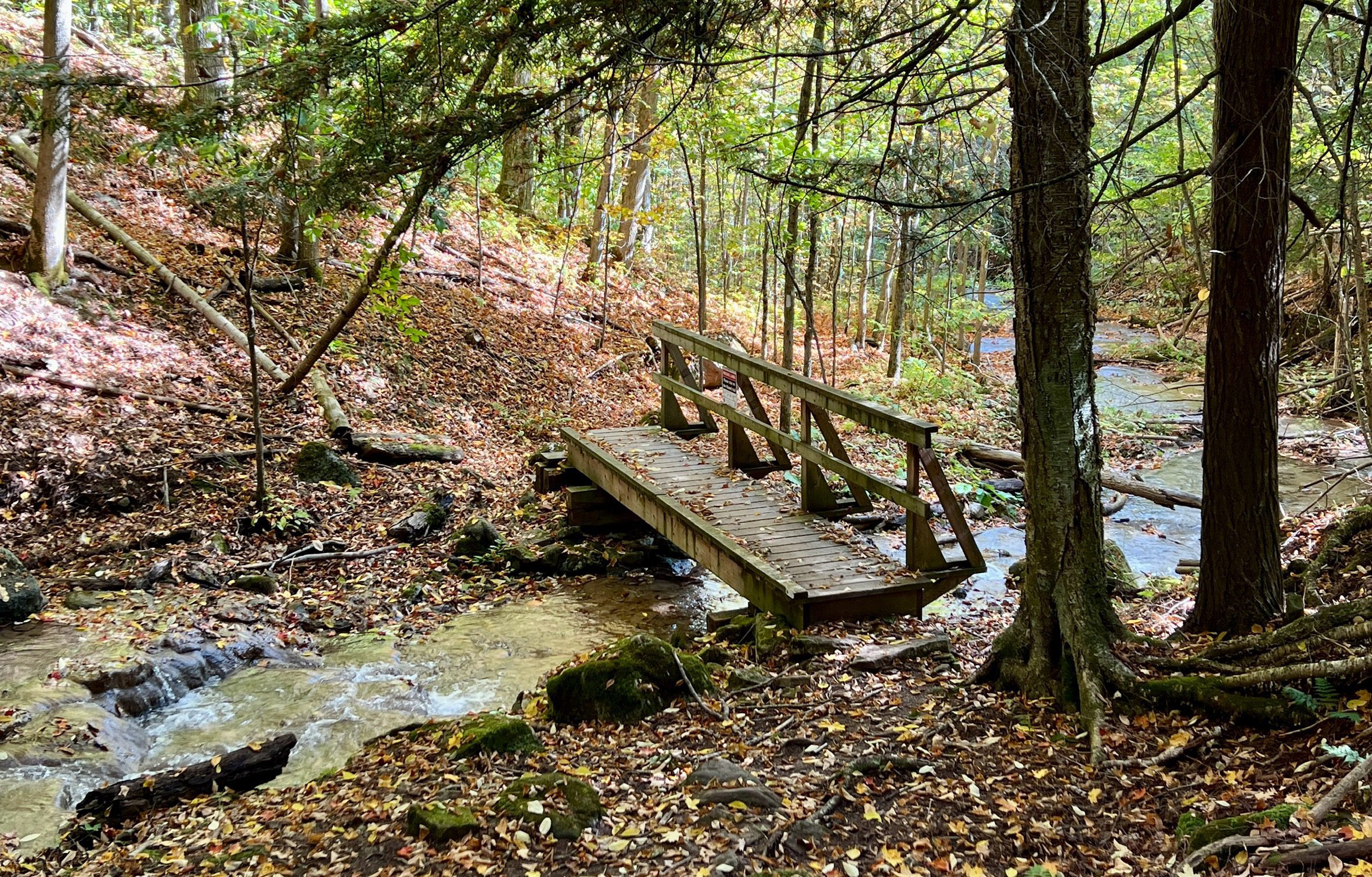
WEDNESDAY WALKERS - Falling Water - Graham's Hill
https://hikesstaging.brucetrail.org/event/wednesday-walkers-falling-water-grahams-hill/Sorry, the registration cut-off time for this hike has been reached.Not a member? Click here to join today!Hosting Club: Beaver Valley
Location (Google Maps): Park in the small BTC parking lot on the north side of Graham’s Hill Road, just west of where the Trail crosses Graham’s Hill Road at km 74.2, Map 26, Edition 31
Hike Leader(s): Margaret Yaraskavitch Click here to contact the hike leader.
Pace: Medium
Terrain: Moderate
Length of Hike: 4.2 kmDescription
This is a there-and-back hike along a varied stretch of Valley edge. Karst topography, old growth forest and streams with waterfalls are on our route as well as meadow and wild fruit trees. There are long views across the Valley.River and Ruin and loop
https://hikesstaging.brucetrail.org/event/river-and-ruin-and-loop-2/Sorry, the registration cut-off time for this hike has been reached.Not a member? Click here to join today!Hike open to BTC Members only.
Hosting Club: Iroquoia
Category: Good Companions
Location (Google Maps): Park at Kilbride Park behind the public schoolHike Leader(s): Jill Parratt Click here to contact Hike Leader(s)
Pace: Medium – 3 to 4 km/hr
Terrain: Moderate – Some hills and/or some poor footing
Distance: 7.5Description
Arrive at 9:15 for 9:30 start.We will hike Kilbride side trail, River and Ruin and loop.
Please bring water.
If you need to cancel day of hike please text me at 905-399-3601
Jill
Exploring the Caledon Rail Trail
https://hikesstaging.brucetrail.org/event/exploring-the-caledon-rail-trail-2/Sorry, the registration cut-off time for this hike has been reached.Not a member? Click here to join today!Hosting Club: Caledon Hills
Category: General
Location (Google Maps): Caledon Rail Trail, 14341 Mississauga Road, CaledonHike Leader(s): Lynn Dobson Click here to contact Hike Leader(s)
Pace: Leisurely – 3 km/hour or less
Terrain: Easy – mostly flat and usually good footing
Distance: 8 kmDescription
This hike will start at the Cheltenham Brickyards parking area (free parking, address and GPS above). We will cross the street from the parking lot and be on the Trans Canada Trail from Mississauga Road to Chinguacousy Road. It will be an out and back, turning around at 4 km. The surface is hard packed; easy walking without any roots, rocks or hills. Hikers can wear running shoes or hiking shoes. The pace is leisurely. There are tree canopy sections and open sections.
After the hike participants will have the option of gathering at Cheltenham General Store for a coffee or sweet treat.11:00 am Hike & Picnic
https://hikesstaging.brucetrail.org/event/1100-am-hike-picnic-11/Sorry, the registration cut-off time for this hike has been reached.Not a member? Click here to join today!Hosting Club: Niagara
Category: Loop
Location (Google Maps): Locust Grove Picnic AreaHike Leader(s): Marion Hanover Click here to contact Hike Leader(s)
Pace: Medium
Terrain: Moderate
Distance: 7 kmDescription
Hike around Queenston area. Optional outdoor gathering in Locust Grove including pot luck picnic.