
Hike Schedule
Join us for a hike! Registration required.
All hikes available to BTC members. Some hikes are open to non-members.
See Refund Policy for Paid Hikes >
TIP: The calendar view displays up to 7 hikes on a day, but often there are more. Click “View more events” to see them all.
Categories
- 08January 8, 2023

Burnt Point Loop Trail
https://hikesstaging.brucetrail.org/event/burnt-point-and-mermaids-cove-trails/Sorry, the registration cut-off time for this hike has been reached.Not a member? Click here to join today!Hosting Club: Peninsula
Location (Google Maps): Bruce Trail Northern Terminus Cairn, Bay St, Tobermory, ON, Canada
Hike Leader(s): Saabir Sohrab Click here to contact Hike Leader(s)
Pace: Medium
Terrain: Moderate
Distance: ~10kmDescription
Get ready for some breathtaking sights as we hike along the Saugeen (Bruce) Peninsula’s Georgian Bay side – The Burnt Point loop trail with a detour to the Mermaid’s CoveOn this trail you can expect: repeated uphill and downhill sections, areas of uneven and exposed rock, and challenging footing particularly on the rocky beaches.
Dress in layers according to weather and wear footwear for rugged terrain.
Bring water, lunch and snacks.
Park admission fee applies.
Mimico Creek Trail, Part 2 - Wayne Crockett's Frustrating Pre-hike from May 23, 2020
https://hikesstaging.brucetrail.org/event/mimico-creek-trail-part-2-wayne-crocketts-frustrating-pre-hike-from-may-23-2020/Sorry, the registration cut-off time for this hike has been reached.Not a member? Click here to join today!Hosting Club: Toronto, Caledon Hills
Category: Urban Walk
Location (Google Maps): Bloor Islington Place, just inside the Islington Ave. exit in front of Urban Fresh. Take the tunnel from Islington Subway Stn and turn left into Bloor Islington Place. Washrooms beyond Urban Fresh.Hike Leader(s): Andrew Proczek, Tom Swales
Pace: Moderate
Terrain: Flat, Variable
Distance: 12.5 kmDescription
In November we lost one of the most dedicated and personable hike leaders our club has ever seen in Wayne Crockett. As well as his impeccable leadership skills and knowledge of Canadian history, Wayne was known for his dry-wit humor. Attempting the Mimico Creek Trail, south of Bloor Street, on an early morning in Spring, during another Covid lockdown, Wayne posted on his Facebook page, “…based on someone once telling me that with a little perseverance, you can find a path along the Mimico Creek from Bloor to the lake shore (about 4 km in a straight line). They lied or I misremembered. I did find some nice stretches of natural path running within a metre or two of the creek but they always dead ended and I had to retrace and do some road walking to find another point of access… Not going to be added to my repertoire, there would be a mutiny for sure.” And commenting on his own picture of some ducks lounging in the creek he wrote, “They were laughing. Ha, this Hooman just walked by here going the other way five minutes ago….” I plan to keep a few of Wayne’s frustrations as part of the hike, with the group not knowing if we are passing through or having to double back. Let the ducks laugh! Little did you know, Wayne, that we would follow you anywhere.Come join Tom Swales and I as we complete the Mimico Creek trail that we started on December 18th at Eglington Avenue hiking as far as Van Dusen Blvd. just south of Bloor St. In Part two we will pick up the trail from the Subway bridge at Tom Riley park retracing Wayne’s hike in its entirety to the mouth of Mimico Creek at Lake Ontario. From there we will do a circuit of both Humber Bay East* and West Parks and work our way west to Amos Waites Park at Lake Shore Blvd & Mimico Avenue finishing at Birds & Beans Cafe, an organic & eco-friendly coffee house.
*Humber Bay Park East is in fact closed due to construction and not due to reopen until early 2024. In its place will do a section of Palace Pier Park going east and then loop back.
From our end point you can catch either the #76 bus to Royal York Subway Stn or the #501 going west to Long Branch and Mississauga Transit or east into downtown.
Please arrive 15 minutes early and remember to bring your icers.
The up-to-date route : https://onthegomap.com/s/238dfts9
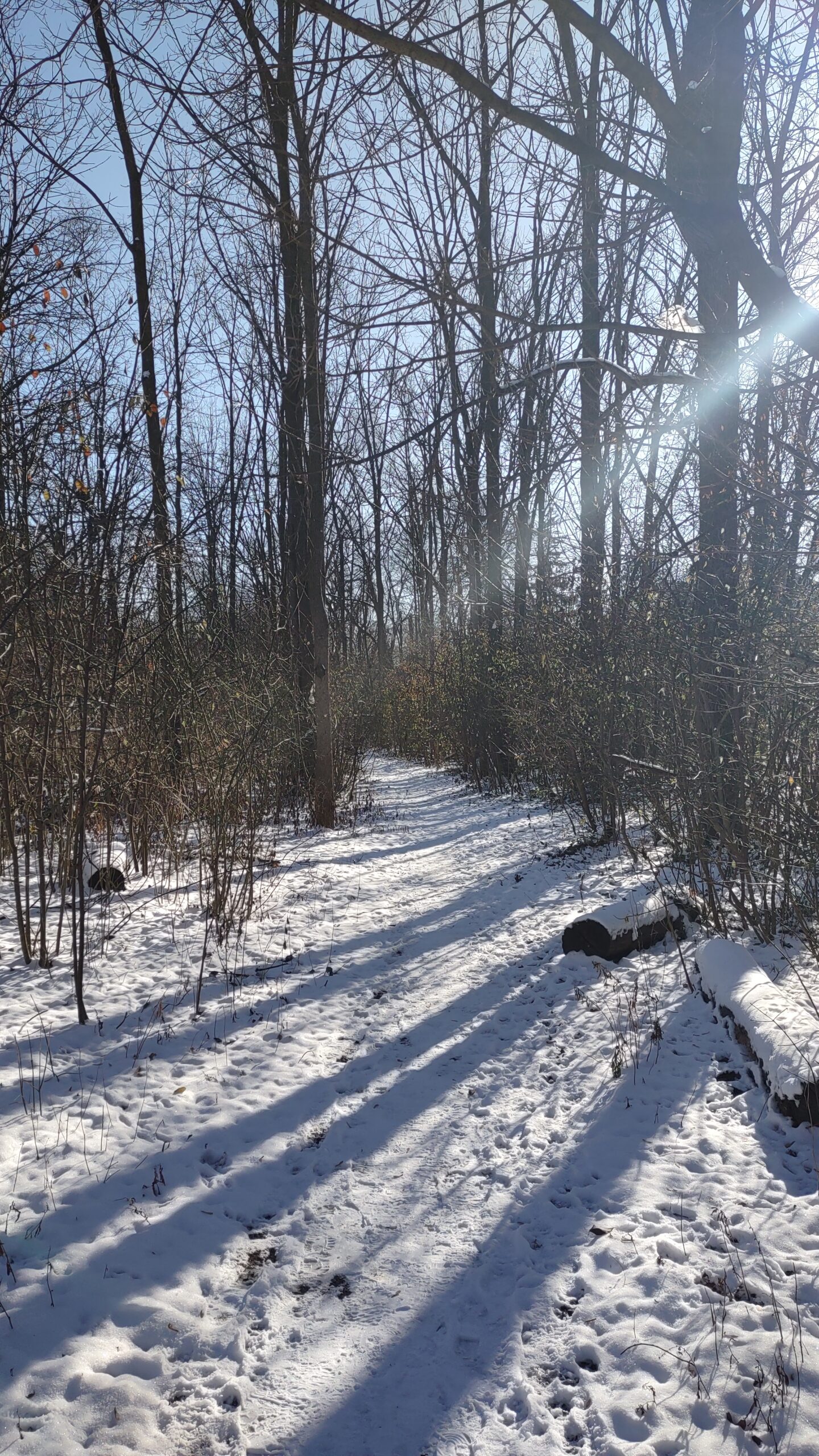
Snowshoe Sydenham Nature Reserve Side Trail loop
https://hikesstaging.brucetrail.org/event/snowshoe-sydenham-nature-reserve-side-trail-loop/Sorry, the registration cut-off time for this hike has been reached.Not a member? Click here to join today!Hosting Club: Sydenham
Category: Snowshoe Hike
Location (Google Maps): Roadside parking on the Derry Line / Grey Rd. 18 just east of Rockford where the CP rail trail crosses, east of km 94.5 (Map 32)Hike Leader(s): Bill Snel Click here to contact Hike Leader(s)
Pace: Leisurely: 3 km/h or less
Terrain: Moderate: Some hills and/or poor footing
Distance: 3.6 kmDescription
Snowshoe a loop through a nice bush with rocky areas. Contact Bill Snel at w.snel2@gmail.com or landline (519) 470-0584.