
Hike Schedule
Join us for a hike! Registration required.
All hikes available to BTC members. Some hikes are open to non-members.
See Refund Policy for Paid Hikes >
TIP: The calendar view displays up to 7 hikes on a day, but often there are more. Click “View more events” to see them all.
Categories
- 07January 7, 2023

Iroquoia in Six - Brisk Hiking 3-5km per hour depending on terrain
https://hikesstaging.brucetrail.org/event/iroquoia-in-six-brisk-hiking-3-5km-per-hour-depending-on-terrain/Sorry, the registration cut-off time for this hike has been reached.Not a member? Click here to join today!Hike open to BTC Members only.
This is a Multi-Day Hike
You are signing up for the following dates:
2023-01-07, 2023-01-08, 2023-01-14, 2023-01-15, 2023-01-21, 2023-01-22Hosting Club: Iroquoia
Category: Iroquoia E2E-in-Six
Location (Google Maps): The first parking/meet location is behind Kilbride School 6611 Panton St Burlington.
Please plan to arrive to the meeting spot at least 15 min ahead of time.Hike Leader(s): Ruth Moffatt Click here to contact Hike Leader(s)
Pace: Brisk – 4 to 5 km/hr
Terrain: Dependent on Conditions, Slippery and Steep Sections, Slippery Sections Likely, Strenuous – Hilly with steep climbs and some poor footing
Distance: 18-22km per dayDescription
This is a special series of 6 hikes to complete the Iroquoia section of the Bruce Trail. There will be a new accomplishment badge, included in the registration fee – which is currently being designed and will be mailed to hikers who complete the series once it is available.For this E2E in 6, we will be following the main trail southbound eventually finishing in Grimsby. Please note that you are signing up for the entire series of six hikes as a Group Hike. The Iroquoia in 6 series is geared to experienced long distance hikers with the expectation of a 3.5 to 5.0 km/ hr. pace maintained over an 18 to 22 km day. No dropout points have been established and therefore hikers who must drop out, will be responsible for their own transportation. Please be honest about your hiking abilities.
Hikers will be expected to to be wearing proper hiking boots and layered clothing with the expectation of cool and possible wet weather, icy trail conditions. Sufficient food and water for a full day of hiking is required and hiking poles, crampons and wet weather gear are recommended. A 10-15 minute on-trail lunch break will be scheduled. The time will be dependent on weather conditions.
The fee goes towards supporting the Iroquoia Bruce Trail Club, which in turn supports the mission of the Bruce Trail Conservancy, which is: “Preserving a ribbon of wilderness, for everyone, forever.”
For the time being, registration for the Iroquoia E2E-in-Six will be limited to members of the Bruce Trail Conservancy. Hikers can belong to any section.
A maximum of 1 (of the 6) hikes can be self-completed as a result of scheduling challenges, but it is intended that this badge be earned while hiking as part of a group led by a certified hike leader. Car shuttles are shared amongst the hikers.
Please note there are no refunds!
This particular set of 6 hikes is intended to be BRISK. Please be honest about your degree of physical fitness prior to registration.
TRANSPORTATION
This series will be through hikes and will require car shuttling, you must be willing to drive or to be a passenger. Some parking locations require paid parking, and hikes that enter Halton Conservation Areas will require reservations. The fee for the E2E-in-Six does not cover any parking/entry fees for hikers who are not members of the Halton CA and/or Hamilton CA. If the group has enough hikers who are members of a CA, those will be the cars chosen to park in those areas so as to minimize costs but since conservation passes are not free, please consider a nominal compensation to the pass holder. At least one hike starts at one CA and possibly ends at another, so parking fees are unavoidable for non-CA members.
Please remember, like all hikes, this is a Leave No Trace hike. Pack out whatever you pack in. Do not throw anything onto or into any sections of the trail.
Please set aside the following wknd, Jan 28 & 29 in case of cancellation/postponement due to weather conditions. Remember, you can only miss one hike. If you miss more than one but make up the distance on your own, you may apply for the regular club End to End badge.
Car Hike: Toronto Winter E2E, hike 3/3
https://hikesstaging.brucetrail.org/event/car-hike-toronto-winter-e2e-hike-3-3/Sorry, the registration cut-off time for this hike has been reached.Not a member? Click here to join today!Hike open to BTC Members only.
Hosting Club: Toronto
Category: Car Hike
Location (Google Maps): We will meet at km 33.4, Eighth Line ST. Coordinates N 43.679840,W 79.966419Hike Leader(s): Smadar Junkin Click here to contact Hike Leader(s)
Pace: Brisk
Terrain: Rocky, Variable
Distance: 17 km plus two km of in and out due to parking location.Description
Last hike in the series, badge day! We will walk back to the cars. Those who are interested we can go for a warm drink in the end at the Spirit Tree.
please bring 2litres of water, icers and snowshoes. Hikers are expected to follow all Covid 19 restrictions.in case of bad weather anticipation, I will change the date.
Car Hike:Hike of 2 lakes King city
https://hikesstaging.brucetrail.org/event/car-hikehike-of-2-lakes-king-city/Sorry, the registration cut-off time for this hike has been reached.Not a member? Click here to join today!Hosting Club: Toronto
Category: Car Hike
Location (Google Maps): 14350 Dufferin Street,3km North of King RoadPark along Dufferin Street or Fairfield Dr.
Gathering in front of Trail on Dufferin Street
Hike Leader(s): Mohammad Aghamiri Click here to contact Hike Leader(s)
Pace: Moderate
Terrain: VariableDescription
Will explore trails between Dufferin and Jane and visit Sceneca and Mary lakes ,you have also a chance to visit Pine Farm coffee shop and enjoy their tasteful coffee, tea, pies and cakes,
It is winter time all participants are required to have Ice cleats with them, have proper shoes, warm clothing and hot drinks with you.

Frosty Five Winter Blues Badge Series 1/5 Weekend
https://hikesstaging.brucetrail.org/event/frosty-five-winter-blues-badge-series-1-5-weekend/Sorry, the registration cut-off time for this hike has been reached.Not a member? Click here to join today!Hosting Club: Caledon Hills
Category: General
Location (Google Maps): Meet at roadside parking, km 6.6 on the east side of Creditview Road, immediately north of the Grange Sideroad intersection. 43.791491, -79.975229 (Map 14, Edition 30)Directions: From Hwy#10, head west on Old Base Line Road to Mississauga Road. Turn right and head north to the Grange Sideroad. Turn right and head east to Creditview Road.
Hike Leader(s): Sandy Green Click here to contact Hike Leader(s)
Pace: Medium – 3 to 4 km/hour
Terrain: Strenuous – hilly with steep climbs and some poor footing
Distance: 11 kilometresDescription
Beat the winter blues! Register individually for one, a few, or all of our Frosty Five Winter Blues Weekend Badge hikes. Participants who complete all five hikes will be eligible to receive a CHBTC Winter badge and a Sideways badge on the final hike. Hike one explores parts of the main Trail and Trimble, Crow’s Nest, and Ring Kiln Side Trails. Bring your choice of hydration and snacks. Hiking boots and icers/crampons are required. See January 21, February 4, February 18, and March 4 for details pertaining to the other hikes in the series. (Note: If you wish to purchase badges, the cost of each badge is $10.00 for BTC members and $15.00 for non-members.)
8:30 Iroquoia E2E #6
https://hikesstaging.brucetrail.org/event/830-iroquoia-e2e-6/Sorry, the registration cut-off time for this hike has been reached.Not a member? Click here to join today!Hosting Club: Niagara
Category: Car Pool
Location (Google Maps): 34.0 to 16.9 38 Millen Road. Roadside Parking N 43.210114 w79.727058 Car Pool to Concession St East side of Jolly Cut. N43.243490 79.861486Hike Leader(s): Alan Laver Click here to contact Hike Leader(s)
Pace: Medium
Terrain: Moderate
Distance: 17.1kDescription
This is the 6th of 7 hikes to complete the Iroquoia section of the Bruce Trail. Dress for the weather and bring icers, gators, snacks and water Paid Parking
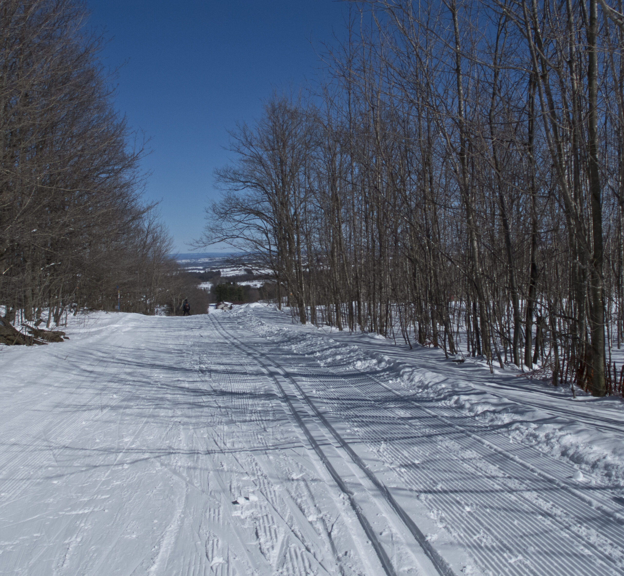
CANCELLED: Winter Coach Trip: Highlands Nordic (Duntroon)
https://hikesstaging.brucetrail.org/event/winter-coach-trip-highlands-nordic-duntroon/Sorry, the registration cut-off time for this hike has been reached.Not a member? Click here to join today!Hosting Club: Toronto
Category: Cancelled
Location (Google Maps): Highlands NordicHike Leader(s): Martina Furrer, Barbara Euler, Jen Zhang Click here to contact Hike Leader(s)
Description
Due to the warm temperatures, abundance of rain, and lack of snow this trip has been cancelled. Please do the snow dance so we can start our season on Jan 14.Bus departs 10 York Mills Rd at 8:30 AM and Major Mackenzie Dr and HWY 400 Park and Ride at 8:50 AM. If you wish to be picked up at the Major Mackenzie Dr and HWY 400 Park and Ride, select that option when you register. Please arrive 15 minutes before departure. The bus waits for no one.
Welcome winter and join us for our first cross-country ski and snowshoe trip of 2023! For trail conditions and information about the resort visit https://highlandsnordic.ca/.
Snowshoers: Join Barbara and Jen for a guided snowshoe hike on the beautiful Bruce Trail. You must have your own snowshoes (or rent in the city) to participate in this hike. Pack lunch and water; you will be on the trail all day.
Skiers: Spend your day gliding through forests and fields on trails expertly groomed for classic and skate skiing. Enjoy beautiful views of the countryside and Georgian Bay. All skiing is self-guided.
Coach fares must be paid online when you register. Trail fees will be collected in cash on the bus. Masks are mandatory while on the bus.
Car Hike: Queen Elizabeth II WIldlands PP Exploration
https://hikesstaging.brucetrail.org/event/car-hike-queen-elizabeth-ii-wildlands-pp-exploration/Sorry, the registration cut-off time for this hike has been reached.Not a member? Click here to join today!Hosting Club: Toronto
Category: Car Hike
Location (Google Maps):Queen Elizabeth II Wildlands PP
Hike Leader(s): Glynn Richardson Click here to contact Hike Leader(s)
Pace: Moderate
Terrain: Challenging, Hilly, Rocky, Variable
Distance: 10-14 kmDescription
Join me on an exploraton hike in the Queen Elizaabeth II WIldlands Provincial ParkThis is an advanced hike!
MANDATORY EQUIPMENT: Hiking boots, trail crampons, snowshoes and headlamps. DO NOT show up without these items, you will NOT BE ALLOWED TO PARTICIPATE.
At the trailhead we will evaluate conditions and determine whether we will wear, carry or leave our snowshoes. Hiking poles and gaitors are highly recommended. They will come in handy when crossing over beaver dams.
We’ll spend 6-8 hrs hiking 10-15 km, depending upon the conditions and the groups ability, mostly off the trail over rugged topography, We’ll explore forests, rock barrens and views. Our feet may get a little wet as we navigate our way around and over ponds (beaver dam), creeks (rocks, logs), lakes (We will NOT be travelling on ice) and beaver dams. There will be lots of elevation change and challenges.
Bring snacks, lunch, water.
Check the weather in advance and dress accordingly in layers.
There will be no dropouts and no dogs.
Registered participants are to arrive 15 minutes prior to the hike for briefing
Space is limited.
Toronto apprentice hike leaders, if this hike is of interest to you, please contact me.
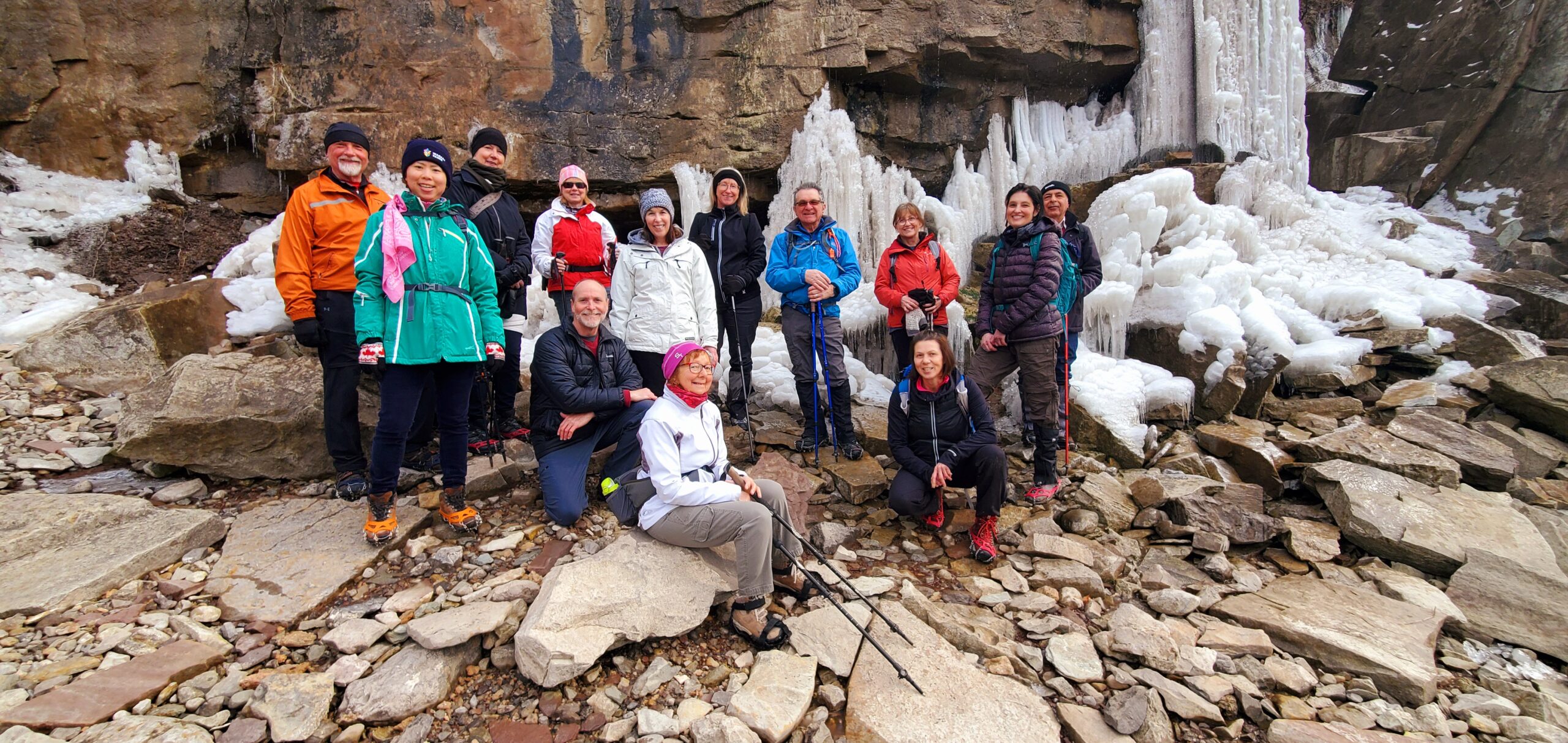
9:00 Niagara Glen Hike
https://hikesstaging.brucetrail.org/event/900-niagara-glen-hike/Sorry, the registration cut-off time for this hike has been reached.Not a member? Click here to join today!Hosting Club: Niagara
Category: Loop
Location (Google Maps):Meet at the Niagara Glen Nature Centre parking lot, 3050 Niagara Parkway, Niagara Falls. Parking fees may apply.
Hike Leader(s): Dan Wilson Click here to contact Hike Leader(s)
Pace: Medium
Terrain: Strenuous
Distance: 11kmDescription
Hike deep in the Niagara Gorge, along stairways cut into the rock and rugged paths that wind through this pristine pocket of Carolinian Forest. View ancient geological formations and fossils dating back millions of years, while hiking along the turbulent rapids of the Niagara River. This is a strenuous hike and there is a good chance hikers will get wet! Bring icers, gaiters and hiking poles, if necessary. Dress appropriately.Balsam Wetlands Area
https://hikesstaging.brucetrail.org/event/balsam-wetlands-area/Sorry, the registration cut-off time for this hike has been reached.Not a member? Click here to join today!Hosting Club: Blue Mountains
Category: Register on-line or sign-in morning of hike
Location (Google Maps): Hike meets in the parking lot behind Tim Hortons on First St. in Collingwood.Hike Leader(s): Bob Moenck Click here to contact Hike Leader(s)
Pace: Leisurely – 3 km/hr. or less
Terrain: Easy – Mostly flat and usually good footing, Moderate – Some hills and/or some poor footing
Distance: 6kmDescription
This is a linear hike involving a car shuttle. Starting at the BTC parking lot off Cty. Rd. 91, we will head east along the blue blazed trail to join the former Duntroon View Side Trail (now a white blazed trail), passing deep crevices along the way. The trail follows along the locally dubbed “Walker Walkway” adjacent to the Duntroon Quarry where operations are clearly visible. We will then enter the newly acquired Balsam Wetlands Nature Reserve where we will meander our way through mixed forest until we reach the gently rolling hills of the cross-country ski network. We follow this trail to a dense pine forest and out to farmers fields. Bring a snack and water. Please be prepared with icers’s or snowshoes. Map 22 Ed. 30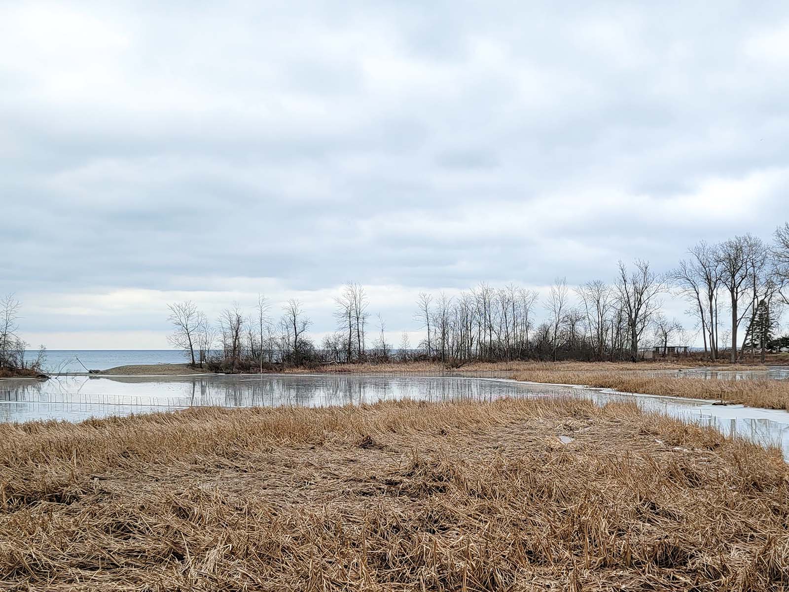
Urban Walk: Waterfront Trail 1/8 - Rattray Marsh
https://hikesstaging.brucetrail.org/event/urban-walk-waterfront-trail-1-8-rattray-marsh/Sorry, the registration cut-off time for this hike has been reached.Not a member? Click here to join today!Hosting Club: Toronto
Category: Urban Walk
Location (Google Maps): Mississauga Waterfront TrailHike Leader(s): Brian Rideout Click here to contact Hike Leader(s)
Pace: Moderate
Terrain: Flat
Distance: 9.3 kmDescription
Please join me at Union Station under the clock inside the Great Hall no later than 9:00 am. We will take the 9:14 train to Clarkson, arriving 9 :49 am. If you want to meet us in Clarkson be there at that time. We start hiking at 10:00 am. Consider purchasing the $10 day pass for the GO train for use with your smart phone. Some of you may find the regular senior rate is cheaper.We will hike from Clarkson to Port Credit through Rattray Marsh and along the shoreline. The estimated distance is 9.9 km. Here is an online map of our route Rattray Marsh to Port CreditBring a snack, at least 2 liters of water, and icers. Dress for cold weather.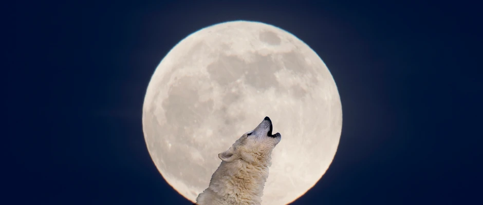
Urban Walk: Rouge Beach Waterfront Trail Moon Night Walk - 11km
https://hikesstaging.brucetrail.org/event/urban-walk-rouge-beach-waterfront-trail-moon-night-walk-11km/Sorry, the registration cut-off time for this hike has been reached.Not a member? Click here to join today!Hosting Club: Toronto
Category: Urban Walk
Location (Google Maps): 195 Rouge Hills Dr, Scarborough, ON. GPS (43.790119211075464, -79.12173358597454). Meet at the parking lot next to the T section of Rouge Hills Drive and Lawrence Ave E. TTC 54A can take you there if you don’t drive.Hike Leader(s): Alina Lin
Pace: Moderate
Terrain: Flat
Distance: 11 kmDescription
The first full Moon of 2023, the Wolf Moon rises this week and it would be nice to see and draw some energy from it. According to the weather forecast, we are very likely to have a clear night sky in Toronto on Saturday so let’s take a night walk along Rouge Beach Waterfront Trail to admire the moon. Here is the map FYI: https://onthegomap.com/s/4dtaaj2fDress properly for temperature. The trail is well paved and flat. Bring flash light just in case. Bring with you snack and hot drink.
If you don’t drive, TTC 54A can take you to the meet up location.
Dufferin Hi-Land Winter Badge Hike #1 of 4 - Full Moon Hike
https://hikesstaging.brucetrail.org/event/dufferin-hi-land-winter-badge-hike-1-of-4-full-moon-hike/Sorry, the registration cut-off time for this hike has been reached.Not a member? Click here to join today!Hosting Club: Dufferin Hi-Land
Category: General Hike
Location (Google Maps): 30th Sideroad east of Hurontario St.Hike Leader(s): Bryan and Carol Foley Click here to contact Hike Leader(s)
Pace: Medium
Terrain: Moderate
Distance: 6.5 kmDescription
Meet 6:15 pm SHARP !! Ready to leave at 6:30 pm No waiting ” IT’S COLD ! ” Be Careful of the ditches when parking. We will hike down to Km 10.0 and return, under the full moon and a starry sky. Bring water, snack, headlamp, dress for the weather, snowshoes essential, pack icers