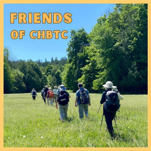
Just For Fun – Friends of CHBTC

Hosting Club: Caledon Hills Category: General Location (Google Maps): Meet at the Hockley Road Parking Lot: Located on the north side of Hockley Road at the Hockley Road Side Trail. Google Map Coordinates: 43.972857, -80.056330 Directions: From ON-10, turn east onto Hockley Road/Dufferin County Road 7. Drive for 5 kilometres. The parking lot is on … Read more
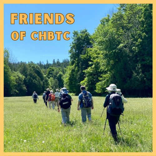
Iroquoia End-to-End Hike 7 of 10

Hosting Club: Caledon Hills Category: End-to-End Location (Google Maps): Meet at Scenic Dr., west of Chateau Crt. at km 40.5. Shuttle to start at Davidson Blvd. Hike Leader(s): Nancy Mooney Click here to contact Hike Leader(s) Pace: Medium – 3 to 4 km/hour Terrain: Moderate – some hills and/or some poor footing, Strenuous – hilly with steep … Read more

Nature Seekers – Friends of CHBTC

Hosting Club: Caledon Hills Category: Nature Walks Location (Google Maps): Meet at the Hockley Road Parking Lot: Located on the north side of Hockley Road at the Hockley Road Side Trail. Google Map Coordinates: 43.972857, -80.056330 Directions: From ON-10, turn east onto Hockley Road/Dufferin County Road 7. Drive for 5 kilometres. The parking lot is … Read more

Exploring the Caledon Rail Trail

Hosting Club: Caledon Hills Category: General Location (Google Maps): Caledon Rail Trail, 14341 Mississauga Road, Caledon Hike Leader(s): Lynn Dobson Click here to contact Hike Leader(s) Pace: Leisurely – 3 km/hour or less Terrain: Easy – mostly flat and usually good footing Distance: 8 km Description This hike will start at the Cheltenham Brickyards parking area (free parking, … Read more

Nature Seekers – Friends of CHBTC

Hosting Club: Caledon Hills Category: Nature Walks Location (Google Maps): Meet at the Hockley Road Parking Lot: Located on the north side of Hockley Road at the Hockley Road Side Trail. Google Map Coordinates: 43.972857, -80.056330 Directions: From ON-10, turn east onto Hockley Road/Dufferin County Road 7. Drive for 5 kilometres. The parking lot is … Read more