
- HikeType Historical Hike
- PaceTypes Medium: 3 to 4 km/h
- TerrainTypes ,Easy: Mostly flat and good footing.,There might be muddy sections.
- PaidOuting No
Hosting Club: Niagara, Sydenham
Category: Historical Hike
Location (Google Maps): Port Dalhousie Public Parking lot. N43.203031 W79.265362
Hike Leader(s): Karen Buschert Click here to contact Hike Leader(s)
Pace: Medium: 3 to 4 km/h
Terrain: Easy: Mostly flat and good footing., There might be muddy sections.
Distance: Varies depending on day: 7km with optional 9 km hike along the Merritt Trail afterwards
Description
Day 1 Port Dalhousie loop (~7 km *+ 9 km optional Merritt trail)
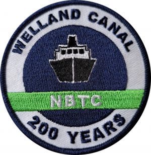
This hike series begins with a loop near the original entrance to the Welland Canal (the First, Second and Third versions). When the Fourth Welland Canal was built, the entry point was changed to Port Weller, thus making a new, more direct route to Port Colborne and Lake Erie. This is Hike #4 of the Welland Canal Badge.
Park at Port Dalhousie Public Parking lot. Free parking in the off season. N43.203031 W79.265362
* If people wish to hike longer, we will have an option to do about 9 km of the Merritt Trail which starts at the same location. If interested in that option, please contact me so I can make arrangements for car shuttling prior to the hike.