
Categories
- 01December 1, 2024
Dufferin Delights - Kilgorie to the Boyne Valley - CANCELLED
https://hikesstaging.brucetrail.org/event/dufferin-delights-kilgorie-to-the-boyne-valley/Sorry, the registration cut-off time for this hike has been reached.Not a member? Click here to join today!Hosting Club: Dufferin Hi-Land
Category: Cancelled
Location (Google Maps): End of Centre Road south of 5 Sideroad. About 2 kms directly south of Whitfield. BTC Map 20, km. 17.6.Hike Leader(s): Stuart Law Click here to contact Hike Leader(s)
Pace: Medium
Terrain: Slippery and Steep Sections, Strenuous
Distance: 16.2 kmsDescription
Join us on the second of our three hikes to explore the Dufferin Section. We climb one of the longest ascents on the entire Bruce Trail – the world famous Kilgorie Hill. Not for the faint of heart. Then come the interminable ups and downs of the Boyne Valley. Tough but highly rewarding. Please dress for the weather – that may include snow and ice. Pack your icers, a snack, a lunch, a warm drink, some water and a smile. Hiking boots mandatory. Poles recommended. Please bring a change of footwear and a garbage bag for the shuttle. Please be prepared to drive other hikers too for the shuttle. Please arrive at 9:00 am to be ready to shuttle at 9:15.Dundas Valley Loop
https://hikesstaging.brucetrail.org/event/dundas-valley-loop/Sorry, the registration cut-off time for this hike has been reached.Not a member? Click here to join today!Hosting Club: Dufferin Hi-Land
Category: General Hike
Location (Google Maps): Iroquoia Section, Map 8. Dundas Valley Conservation Area Parking Lot P3. Take DVCA Trail Centre Entrance off Governors Road, near km 51.8.Hike Leader(s): Stuart Law Click here to contact Hike Leader(s)
Pace: Medium
Terrain: Moderate
Distance: 17 kmsDescription
Join us on a lovely loop hike in the Dundas Valley. We take in part of the Bruce Trail and several DVCA trails. Waterfalls like Sherman, Canterbury, and Cascade. Please bring icers, a warm drink, water, a snack for “elevensies”, lunch, hiking boots, poles and lots of smiles. Entrance fee to DVCA in effect at gate. Consider buying a Hamilton Conservation Area annual pass. It’s well worth it. Please arrive at 9:15 to be ready to hike at 9:30.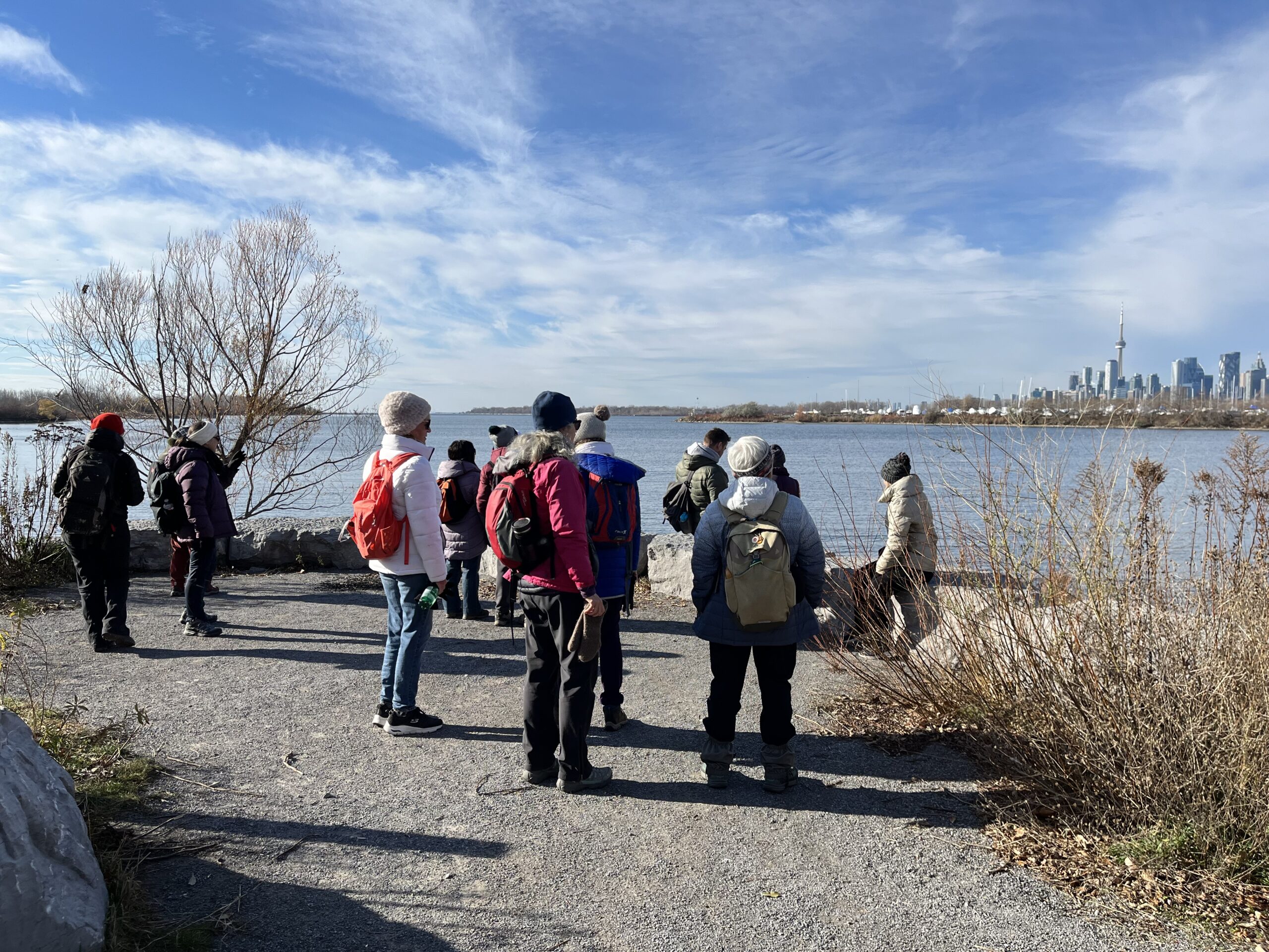
Urban Walk: Tommy Thompson Park-Toronto's Urban Wilderness (on the Leslie Street Spit) Toronto
https://hikesstaging.brucetrail.org/event/urban-walk-tommy-thompson-park-torontos-urban-wilderness-on-the-leslie-street-spit-toronto-2/Sorry, the registration cut-off time for this hike has been reached.Not a member? Click here to join today!Hosting Club: Toronto
Category: Urban Walk
Location (Google Maps):Tommy Thompson Park, 1 Leslie St. Toronto
Hike Leader(s): Jeanette Vincent Click here to contact Hike Leader(s)
Pace: Moderate (3-4 km/hr)
Terrain: Flat, Level 1 (Easy – mostly on flat, well maintained trails with hard-packed surface)
Distance: 13/14kmDescription
Meet at 10:00 a.m. at the entrance parking lot at 1 Leslie St. We will walk to the end of the spit and back using some of the various side trails loops. A unique place to experience nature and wildlife in a man made area. The spit has been made from the rubble from an ever growing Toronto which began in 1959. Visit https://tommythompsonpark.ca/about/ for the history and growth of this area. In addition to its unique natural features, the park offers picturesque views of the Toronto skyline and Lake Ontario.No dogs. Wear good walking shoes or boots. Bring snack/lunch and water. Dropouts along the way. Dress appropriate for the weather conditions.
Car Hike; Mono Cliffs
https://hikesstaging.brucetrail.org/event/car-hike-mono-cliffs/Sorry, the registration cut-off time for this hike has been reached.Not a member? Click here to join today!Hosting Club: Toronto
Category: Car Hike
Location (Google Maps): Mono Cliffs Provincial Park, Map 19Hike Leader(s): Al Brown Click here to contact Hike Leader(s)
Pace: Leisurely (2-3 km/hr)
Terrain: Level 1 (Easy – mostly on flat, well maintained trails with hard-packed surface)
Distance: 8-10 kmDescription
We will complete a loop hike through the Mono Cliffs Provincial Park on the main and side trails.After the hike those interested may join me for refreshments in the area at a place TBA.
To get to the meeting location drive north on Hwy 10 past Orangeville to County Road 8 (Mono Centre Road). Turn right and go about 5 km to Mono Centre. The parking area is on your right behind a tennis court that you will see as you approach the village (200 meters south).