
- HikeType General Hike
- HikeIcon https://hikesstaging.brucetrail.org/wp-content/uploads/formidable/7/IMG_1131-scaled.jpeg
- PaceTypes Medium - 3 to 4 km/hr
- TerrainTypes Strenuous - Hilly with steep climbs and some poor footing
- PaidOuting No
Hosting Club: Iroquoia
Category: General Hike
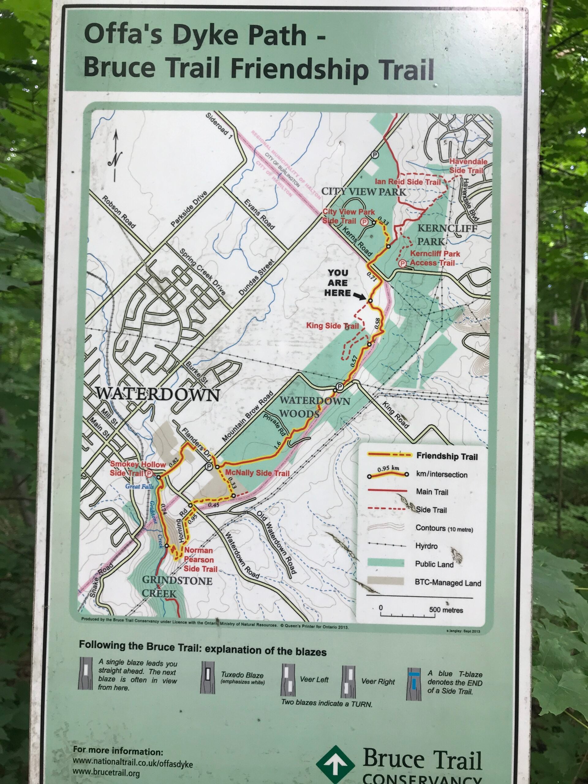
Location (Google Maps): Meet at City View Park parking lot (South Entrance), Burlington. Located just south of Hwy #5 off of Kerns Rd.
Hike Leader(s): Karen Capindale-Smith Click here to contact Hike Leader(s)
Pace: Medium - 3 to 4 km/hr
Terrain: Strenuous - Hilly with steep climbs and some poor footing
Distance: 10km +
Description
This 10.5 km hike will follow the main BT along the edge of the escarpment for great views of the Skyway bridge , Lake Ontario and surrounding area. We will continue to the outskirts of Waterdown and down into/out of the Grindstone Creek via the McNally and Waterdown Rd Side trails and main BT. Please dress in layers and bring water and a snack. Icers may be necessary.
Expect baked goods 🙂