
Hike Schedule
Join us for a hike! Registration required.
All hikes available to BTC members. Some hikes are open to non-members.
See Refund Policy for Paid Hikes >
TIP: The calendar view displays up to 7 hikes on a day, but often there are more. Click “View more events” to see them all.
Categories
- 02September 2, 2025
Caledon Hills End-to-End & Fall Trail Audit
https://hikesstaging.brucetrail.org/event/caledon-hills-end-to-end-fall-trail-audit/Sorry, the registration cut-off time for this hike has been reached.Not a member? Click here to join today!This is a Multi-Day Hike
You are signing up for the following dates:
2025-09-02, 2025-09-03, 2025-09-04Hosting Club: Caledon Hills
Category: End-to-End
Location (Google Maps): Meet at BTC parking on the east side of the 5th Line EHS, just south of Hockley Road, 43.993572, -80.014057.Directions: From Hwy #10 head east on Hockley Road for 9.4 km. Turn right onto 5 Line E/5th Line EHS. Drive for 90 m. The parking lot is on the left.
Shuttle to Mono Community Centre Parking Lot, 44.026195, -80.071516
Hike Leader(s): Sandy Green Click here to contact Hike Leader(s)
Pace: Brisk – 4 to 5 km/hour
Terrain: Strenuous – hilly with steep climbs and some poor footing
Distance: 21.5 kilometresDescription
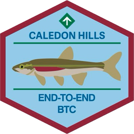
Earn the new Redside Dace End-to-End badge in three hikes. This series follows the Club’s Fall Colour’s E2E plan, with a couple of distance modifications. The hikes provide an opportunity to audit and prepare the Trail before the Thanksgiving event. Bring gardening pruners if you have them. Periodically, the group will quickly trim back overgrown vegetation. Pack sufficient water and snacks to boost your energy.Hike 1 – Hike southbound from Mono Community Centre south to km 51.7/Access to Hemlock Ridge ST. Distance: approximately 21.5 km
Hike 2 – Hike northbound from km 0.0/Creditview Road to approx km 26/Mountainview Road. Distance: approximately 26 km
Hike 3 – Hike northbound from km 26/Mountainview Road to km 51.7/Access to Hemlock Ridge ST. Distance: approximately 26 km
Up-to-date details will be provided to participants closer to the dates due to a trail reroute in the Mountainview Road area in the spring.