
Hike Schedule
Join us for a hike! Registration required.
All hikes available to BTC members. Some hikes are open to non-members.
See Refund Policy for Paid Hikes >
TIP: The calendar view displays up to 7 hikes on a day, but often there are more. Click “View more events” to see them all.
Categories
- 07May 7, 2025

Halton Agreement Forest
https://hikesstaging.brucetrail.org/event/halton-agreement-forest-3/Sorry, the registration cut-off time for this hike has been reached.Not a member? Click here to join today!Hosting Club: Iroquoia
Category: General Hike
Location (Google Maps): Meet roadside on 4th Line at 9:15 am. Up Guelph Line from the 401, turn right on 10 Side Road and follow the curve as it becomes 4th Line.Hike Leader(s): Karen Bergmann Click here to contact Hike Leader(s)
Pace: Medium – 3 to 4 km/hr
Terrain: Moderate – Some hills and/or some poor footing
Distance: 8 kmsDescription
We will hike around the bike trails in this lovely Forest, including The Den and The Pines. Expect to see lots of wildflowers and hear the busy birds.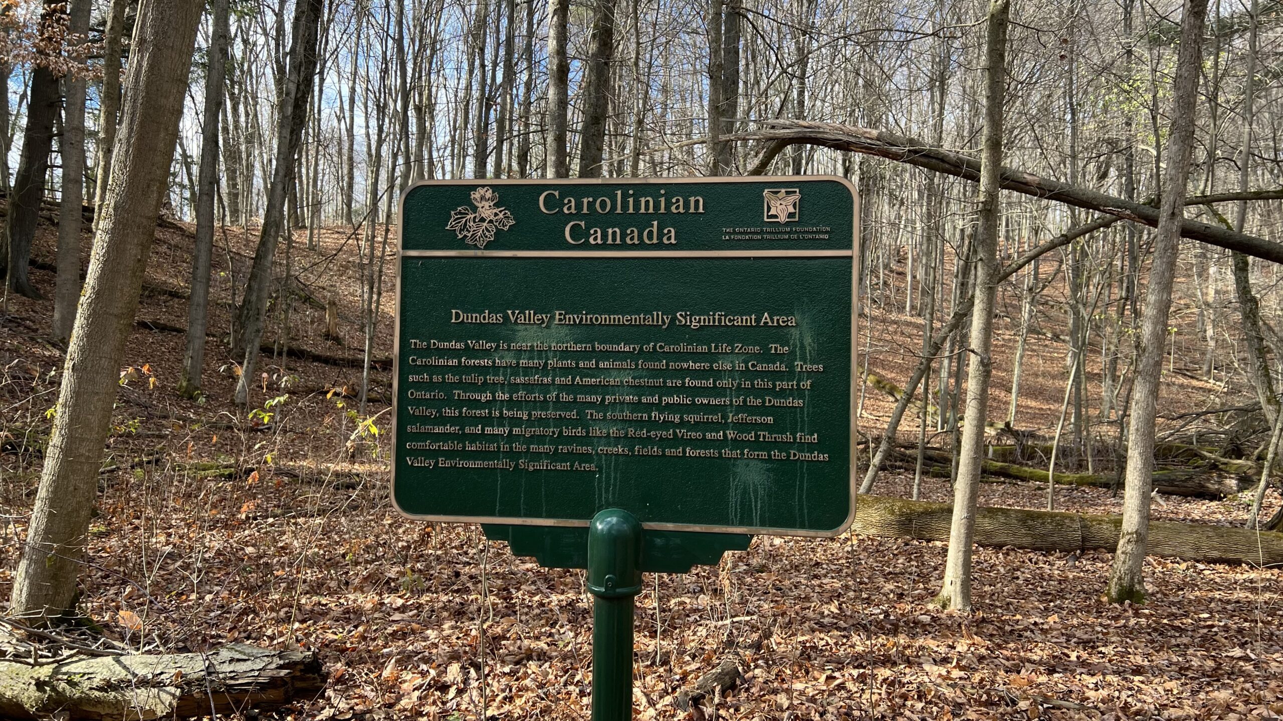
Good Companions - Dundas Valley from Sanctuary Park
https://hikesstaging.brucetrail.org/event/good-companions-dundas-valley-from-sanctuary-park-2/Sorry, the registration cut-off time for this hike has been reached.Not a member? Click here to join today!Hike open to BTC Members only.
Hosting Club: Iroquoia
Category: Good Companions
Location (Google Maps):Parking lot for Sanctuary Park – See map and address below (if parking lot is full, park on adjacent side streets)
Hike Leader(s): Ted Bossence Click here to contact Hike Leader(s)
Pace: Medium – 3 to 4 km/hr
Terrain: Strenuous – Hilly with steep climbs and some poor footing
Distance: 8 kmDescription
From Sanctuary Park we will hike the Spring Creek trail and parts of the Sawmill trail to the Trail Centre. After a break, (washrooms “should” be available at the trail centre) we will walk to the south side of the rail trail and take the Main Loop, Sulphur Creek, local access trails and rail trail back to the parking lot.Please arrive 15 minutes before the start time. I will be leaving at 10:00 am sharp. Bring water, sunscreen, insect repellant, a first aid kit and a snack. Poles are highly recommended due to the number of hills and some hills may be slippery if it has rained recently. I will cancel the hike in case of rain. Please check your email the evening before the hike in case of a cancellation. If you must cancel after the 4:00 pm Tuesday cut-off time I will be sending contact info on the Tuesday.
Midweek fitness hike in the Pretty River Valley Provincial Park (spring flowers and gorgeous lookouts long hike)
https://hikesstaging.brucetrail.org/event/midweek-fitness-hike-in-the-pretty-river-valley-provincial-park-spring-flowers-and-gorgeous-lookouts-long-hike/Sorry, the registration cut-off time for this hike has been reached.Not a member? Click here to join today!Hosting Club: Toronto
Category: Car Hike
Location (Google Maps):Pretty River Valley Provincial Park and Petun Conservation Area
Hike Leader(s): Natalia Svechnikova Click here to contact Hike Leader(s)
Pace: Moderate (3-4 km/hr)
Terrain: Hilly, Level 2 (Intermediate – some hills and uneven surfaces, rocks and roots underfoot), Rocky, Variable
Distance: about 17 kmDescription
Please join me for an enjoyable spring flowers hike on the Bruce Trail (main and side trails) in the Pretty River River Provincial Park and the Petun Conservation Area. We will be following a relatevily challenging loop of ca 17 km from the south of the park (the Pretty River Road) moving up north to the north-west following the Bruce Trail main and side trails into the Petun Conservation area and down south passing many gorgeaus lookouts.Please note that this is a long hike and a relatively long day trip if you are coming from the GTA.
We will try to keep a moderate pace of about 3 km/h while slowing down uphill. The trail is challenging with a few uphill sections after which we will stop for short water breaks. There will be a lunch break for about 20 min. We should be back to the parking lot around 4:30 pm.
Please be dressed for the weather, wear hiking shoes/boots, bring extra layers and pack your rain gear (just in case), at least 2 L of water, light lunch and snacks, your sunglasses and/or hut.
We will meet on the dedicated Pretty River PP parking lot on the Pretty River Road (exact map location 44.43147754685496, -80.27512513140113) around 10:45 am and start hiking at 11:00 am.
Please note that this hike is not suitable for a rainy/stormy day and will be cancelled in case of inclement weather.
11:00 am Hike & Picnic
https://hikesstaging.brucetrail.org/event/1100-am-hike-picnic-2/Sorry, the registration cut-off time for this hike has been reached.Not a member? Click here to join today!Hike open to BTC Members only.
Hosting Club: Niagara
Category: Loop
Location (Google Maps): Locust Grove Picnic AreaHike Leader(s): Marion Hanover Click here to contact Hike Leader(s)
Pace: Medium
Terrain: Moderate
Distance: 7 kmDescription
Hike around Queenston area. Optional outdoor gathering in Locust Grove including pot luck picnic after the hike.Evening Hike in Owen Sound followed by an Opportunity for Refreshments
https://hikesstaging.brucetrail.org/event/evening-hike-in-owen-sound-followed-by-an-opportunity-for-refreshments-15/Sorry, the registration cut-off time for this hike has been reached.Not a member? Click here to join today!Hosting Club: Sydenham
Category: An evening walk.
Location (Google Maps): Meet in the municipal parking lot by the river on the west side of 1st Ave E between 7th St E and 8th St E in Owen Sound.Hike Leader(s): Harriet Nixon Click here to contact Hike Leader(s)
Pace: Brisk: 4 to 5 km/h
Terrain: Moderate: Some hills and/or poor footing
Distance: Approx 5 kmDescription
Join Hike Leader Harriet Nixon for a brisk evening hike exploring paths and neighbourhoods in the city of Owen Sound, followed by an opportunity to socialize at one of the local establishments. There is no need to show up 15 minutes early for this hike, but we will leave promptly at 7:00 pm. - 08May 8, 2025
8:00 am Long Hike Glen Road Jordan NEW TIME
https://hikesstaging.brucetrail.org/event/800-am-long-hike-glen-road-jordan-new-time-2/Sorry, the registration cut-off time for this hike has been reached.Not a member? Click here to join today!Hosting Club: Niagara
Location (Google Maps):
Glen Road Jordan
Pace: Medium
Terrain: Moderate
: 10kDescription
This will be our permanent Thursday Location until Bridge repairs complete. From Glen Road explore the trail network on the escarpment towards Balls Falls and Moyer Road.You must register for each hike. Bring Poles, snack bug spray, sunscreen and a drink. Dress for the weather
RESCHEDULED from March 31 - Blue Loop Hikes #4 - Short Hills
https://hikesstaging.brucetrail.org/event/blue-loop-hikes-4-short-hills/Sorry, the registration cut-off time for this hike has been reached.Not a member? Click here to join today!Hosting Club: Niagara, Iroquoia
Category: General Hike
Location (Google Maps): Parking Area off Roland RoadHike Leader(s): Pati Greenwood, Jeff Dowsett Click here to contact Hike Leader(s)
Pace: Medium – 3 to 4 km/hr
Terrain: Moderate – Some hills and/or some poor footing
Distance: 10 kmDescription
This hike has been rescheduled from March 31.This is a series of loop hikes exploring various BT Blue trails in wintry and early spring conditions. Join us for one, some or all.
Today’s hike will explore the main trail and the Black Walnut Side Trail in a 10 km loop through Short Hills Provincial Park.
Bring a snack and plenty of water, and other hydration as needed. Wear hiking boots and bring hiking poles. Icers may also be required.
Please arrive at the meeting place by 8:15 am as we will leave promptly at 8:30 am.
Urban Walk: Valley View Park Thornhill
https://hikesstaging.brucetrail.org/event/urban-walk-valley-view-park-thornhill-72/Sorry, the registration cut-off time for this hike has been reached.Not a member? Click here to join today!Hosting Club: Toronto
Location (Google Maps): Parking lot is inside Sycamore Drive East of Bayview , across Starbucks plaza
Hike Leader(s): Mohammad Aghamiri Click here to contact Hike Leader(s)
Pace: Moderate (3-4 km/hr)
Terrain: Hilly, Level 2 (Intermediate – some hills and uneven surfaces, rocks and roots underfoot)
Distance: 7-8 kmDescription
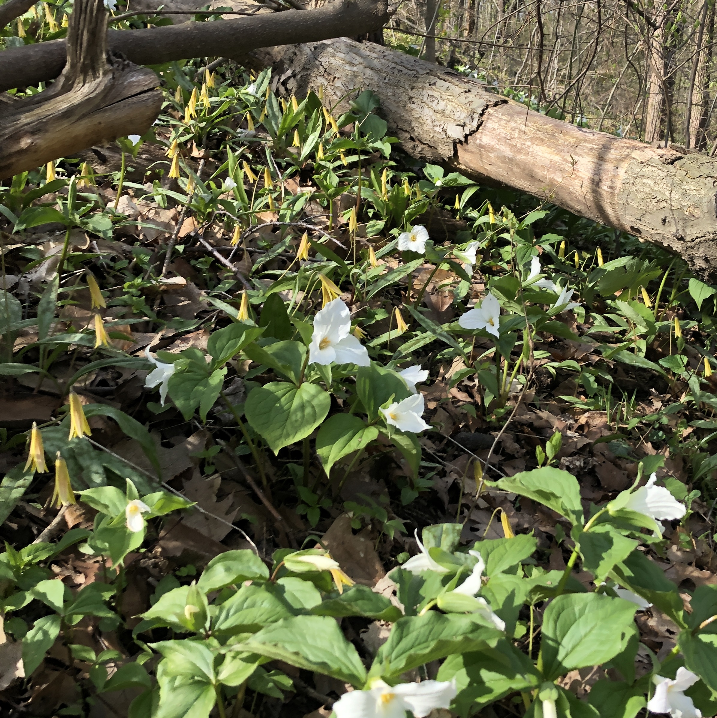
We will explore Valleyview and Maple View parks, and walk along German Mill Creak, in return we stop in Huntington park and have snack under beautiful shed ,Even it is considered Urban walk, it is urban hike as we have some up and down hills and tree roots, please bring your hiking poles, water and snacks
9:00 Fireman’s Park Circuit
https://hikesstaging.brucetrail.org/event/900-firemans-park-circuit/Sorry, the registration cut-off time for this hike has been reached.Not a member? Click here to join today!Hosting Club: Niagara
Category: Loop
Location (Google Maps): Fireman’s Park, Dorchester Road, Niagara FallsHike Leader(s): Suzanne Gourluck Click here to contact Hike Leader(s)
Pace: Brisk
Terrain: Moderate
Distance: 10 kmDescription
We will weave around Fireman’s Park on various trails eventually making our way over to the Main Trail and returning to the parking lot.
Dress for the weather and bring poles, water and a snack if you wish.Hiking Around Cave springs. NEW LOCATION
https://hikesstaging.brucetrail.org/event/hiking-around-cave-springs-new-location-7/Sorry, the registration cut-off time for this hike has been reached.Not a member? Click here to join today!Hosting Club: Niagara
Location (Google Maps):
Cave Springs Conservation Area)
Hike Leader(s): Bill Russell Click here to contact Hike Leader(s)
Pace: Medium
Terrain: Moderate
Distance: 6kDescription
Hiking in and around Cave SpringsSpring Flower Photography at Splitrock Narrows
https://hikesstaging.brucetrail.org/event/spring-flower-photography-at-splitrock-narrows/Sorry, the registration cut-off time for this hike has been reached.Not a member? Click here to join today!Hosting Club: Caledon Hills
Category: Nature Walks
Location (Google Maps): Splitrock Narrows Nature Reserve 755437 2nd Line EHS Mono. Take Hwy 10 North from Orangeville to 25 Sideroad then east on 25 Sideroad to 2nd Line EHS and then north on 2nd Line to parking lot on east side of road.Hike Leader(s): Gary Hall Click here to contact Hike Leader(s)
Pace: Leisurely – 3 km/hour or less
Terrain: Easy – mostly flat and usually good footing
Distance: 3 – 4 kmDescription
Whether using an expensive camera or a cell phone, Splitrock Narrows offers excellent opportunities to view and photograph spring flowers. We’ll take some time to discuss how to make the best of your photography. Be prepared to get your knees dirty. You do not have to be an expert photographer to enjoy this slow paced nature walk.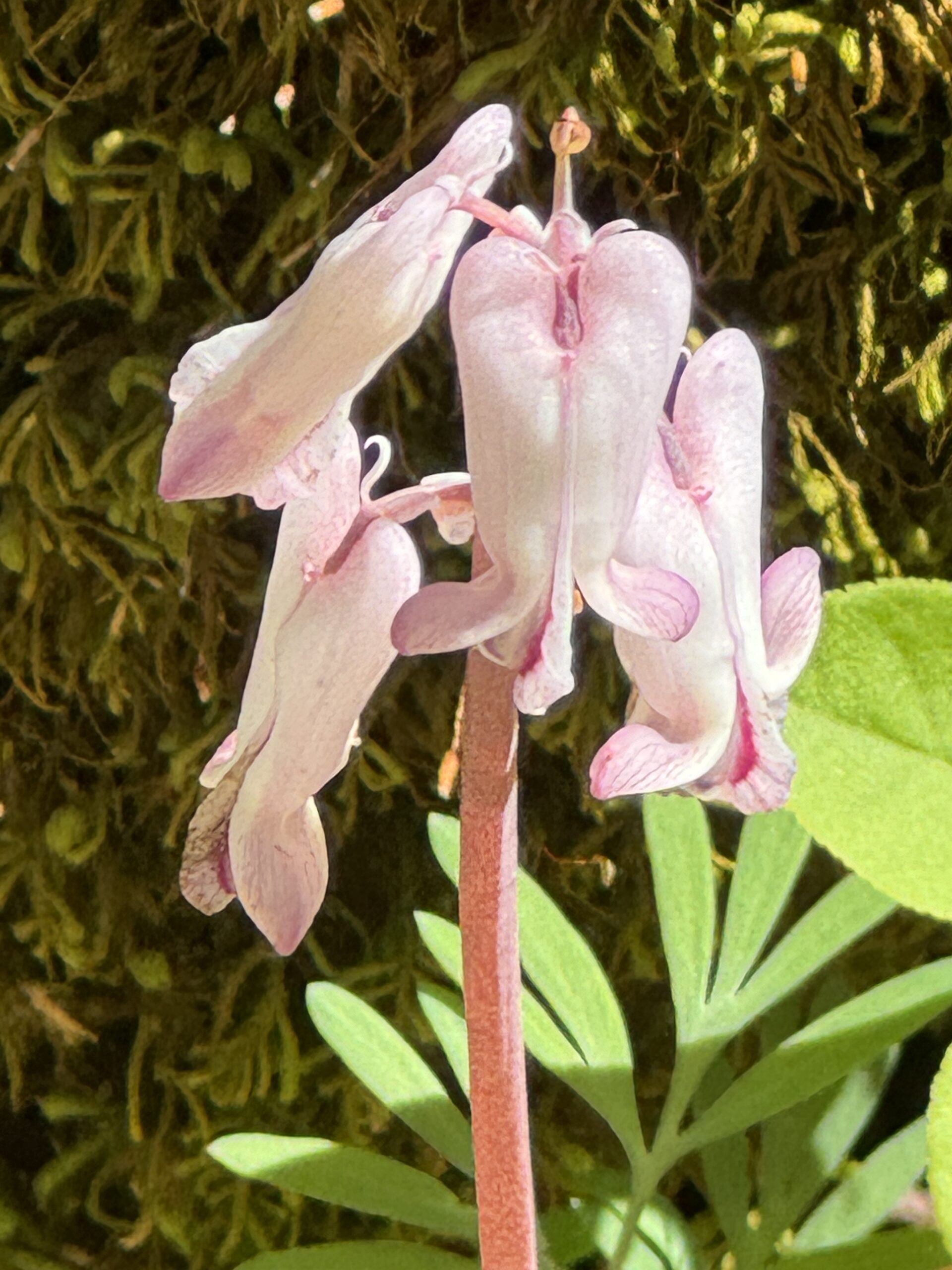
Wildflowers at Scotsdale Farm
https://hikesstaging.brucetrail.org/event/wildflowers-at-scotsdale-farm/Sorry, the registration cut-off time for this hike has been reached.Not a member? Click here to join today!Hosting Club: Iroquoia
Category: Wildflowers and Spring Ephemerals
Location (Google Maps): Scotsdale Farm13807 Trafalgar Rd.Hike Leader(s): Anne Armstrong Click here to contact Hike Leader(s)
Pace: Leisurely – 3km/hr or less
Terrain: Moderate – Some hills and/or some poor footing
Distance: Apprx. 9 km.Description
Spring is a wonderful time to hike especially if you are a wildflower enthusiast. Please join us to hike the lovely trails of this area as we continue our search for wildflowers or Spring Ephemerals as they are know. Please meet in the main parking lot of Scotsdale Farm at 9:45 am. for a 10:00 am. start. (If the main lot is closed due to filming there is another parking lot on your right as you drive in. This sometimes happens. ) Be prepared for some rocky sections with difficult footing. Bring water, a snack, sunscreen and insect repellent. Our snack will be beside a lovely creek. Poles would be useful.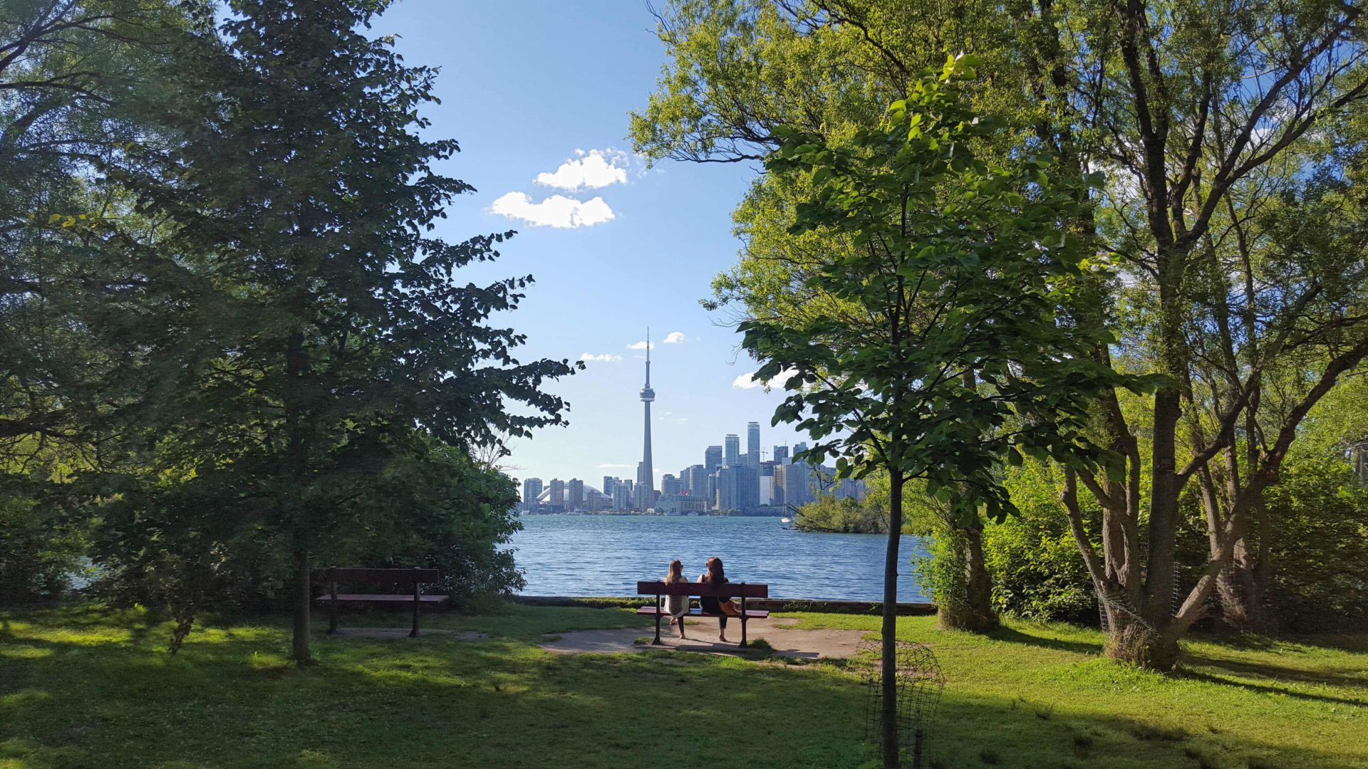
Urban Walk: Toronto Islands Evening Walk
https://hikesstaging.brucetrail.org/event/urban-walk-toronto-islands-evening-walk-11/Sorry, the registration cut-off time for this hike has been reached.Not a member? Click here to join today!Hosting Club: Toronto
Location (Google Maps):
Jack Layton Ferry Terminal, near the gates to Wards Island Ferry. Arrive 20 minutes prior to departure to check in with hike leader.
From Union Station take the LRT and get off at the stop Ferry Docks.Walk up to the Ferry Docks on Queens Quay West, street level. at the foot of Bay Street.
Hike Leader(s): Miriam Stevens Click here to contact Hike Leader(s)
Pace: Leisurely (2-3 km/hr)
Terrain: Flat
Distance: 6-9 kmDescription
After a day’s work come and “cool off” on the Toronto Islands free of fumes and traffic. Enjoy the view of the city skyline and Toronto’s beautiful island parkland.
Pack a dinner for a sit down picnic. Food is not available for purchase on the Islands early in the season. Also bring a warm jacket and flashlight.
Return fare ticket for the ferry is $9.11 adults and $5.86 seniors.
Hikes will take place rain or shine.
Toronto Island evening hikes will take place every Thursday in May and June 2025.
Same time and same meeting place. No preregistration is required – just show up at the ferry docks at 5:40 PM and sign in with the hike leader. - 09May 9, 2025
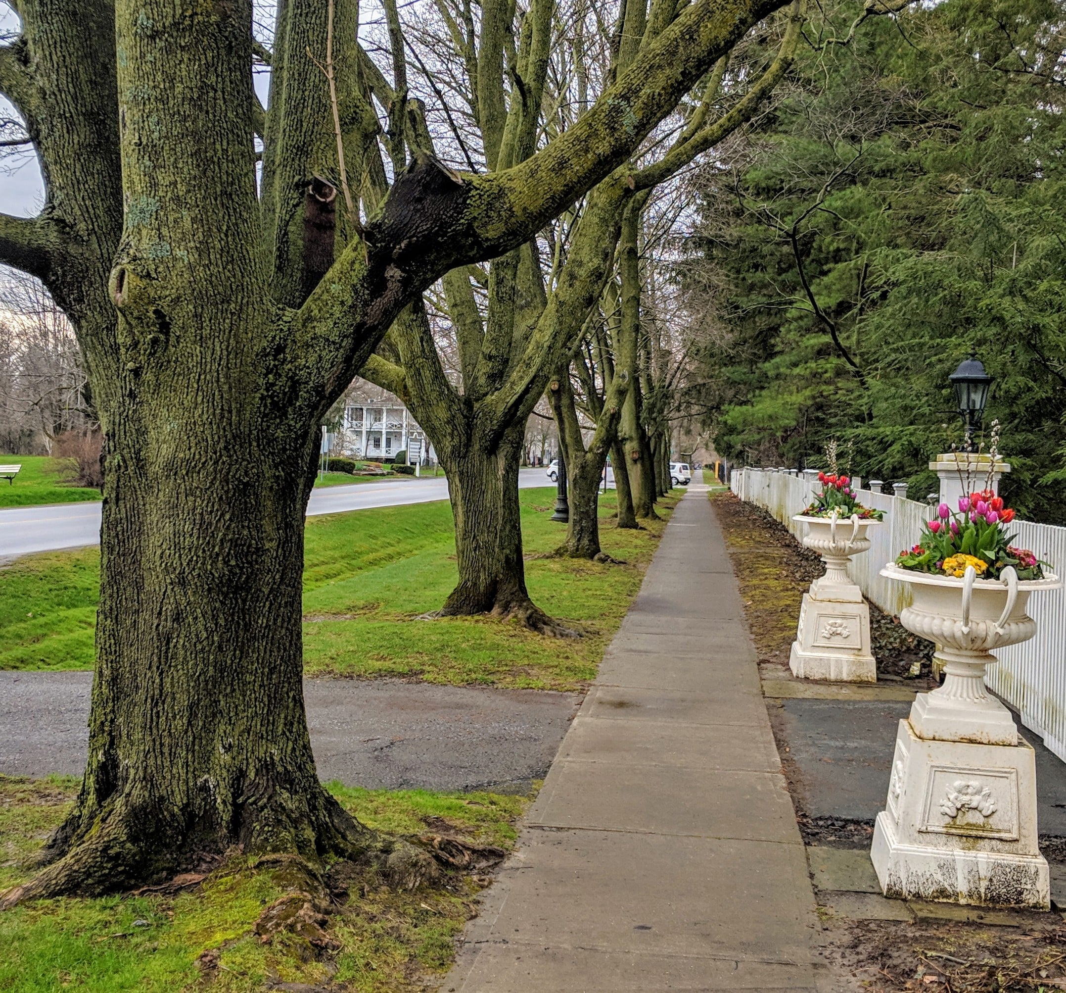
Niagara-on-the-Lake Tour
https://hikesstaging.brucetrail.org/event/niagara-on-the-lake-tour-7/Sorry, the registration cut-off time for this hike has been reached.Not a member? Click here to join today!Hosting Club: Niagara
Location (Google Maps): Park on King St, Centre St near Veteran’s Memorial Park
Hike Leader(s): Margaret Northfield Click here to contact Hike Leader(s)
Pace: Medium
Terrain: Easy
Distance: 6-7kmDescription
Each Friday we will explore different neighbourhoods, trails and parkland throughout Historic Niagara-on-the-Lake.Moderate pace with some weeks entirely on sidewalks and roads while others may include a mix of trails and paved pathways. Great way to build up endurance for longer more strenuous hikes.
Prepare for cooler windy conditions on open parkland and along Lake Ontario and Niagara River trails.
Plan to stay for conversation and a warm cup of coffee or tea at Sweets and Swirls, Community Centre, 14 Anderson Lane, (just off Niagara Stone Rd), NOTL
Hike #3 Dufferin Hi-Land 60th Anniversary Side Trail Highlights
https://hikesstaging.brucetrail.org/event/dufferin-hi-land-60th-anniversary-side-trail-highlights-8/Sorry, the registration cut-off time for this hike has been reached.Not a member? Click here to join today!Hosting Club: Dufferin Hi-Land
Category: General Hike
Location (Google Maps): Park at Split Rock Narrows parking lot on 2nd Line EHS, 1.5 km north of 25 Sideroad (north of Mono Cliffs Provincial Park)Hike Leader(s): su Bate, Helen Bailey Click here to contact Hike Leader(s)
Pace: Brisk
Terrain: Moderate
Distance: 10kmDescription
This is the 3rd rescheduled hike (cancelled due to the ice storm) in a series of 6 loop hikes; each hike is between 9-12km in length. If you hike all 6 of the hikes in this series, or otherwise hike 60 km in Dufferin during 2025, you qualify for the 60th Anniversary badge.Bring a drink and a snack. There are some steep drop offs and the trail can be slippery and muddy at this time of year. Dress for the weather! We will follow Splitrock Side Trail east and south to second intersection with Ralph Tremills Side Trail. Then we follow Ralph Tremills east and return via Splitrock Side Trail west to 2ndLine. We’ll follow 2nd Line EHS Side Trail south to 25 Sideroad, cross the stile and continue south on Walter Tovell Side Trail to Clifftop Trail. Keep right on Clifftop Trail to Bruce Main Trail, following the Main Trail west and north to Lookout Side Trail (km 4.0). Take Lookout Trail north and east to Walter Tovell and return north on Walter Tovell and 2nd Line EHS Side Trail to parking lot.

Rucking for Beginners Series
https://hikesstaging.brucetrail.org/event/rucking-for-beginners/Sorry, the registration cut-off time for this hike has been reached.Not a member? Click here to join today!This is a Multi-Day Hike
You are signing up for the following dates:
2025-05-09, 2025-05-16, 2025-05-23, 2025-05-30Hosting Club: Iroquoia
Category: Rucking: Hikes/Walks with Weight
Location (Google Maps): Meet up at 9:30am SHARP at Kilbride Public School (6611 Panton St., North Burlington) in back parking by tennis club (ignore one-way arrows).Hike Leader(s): Karen Capindale-Smith Click here to contact Hike Leader(s)
Pace: Medium – 3 to 4 km/hr
Terrain: Dependent on Conditions, Moderate – Some hills and/or some poor footing, Slippery and Steep Sections, Strenuous – Hilly with steep climbs and some poor footing
Distance: +/- 6 kmDescription
This is a progressive rucking series – starting off slow and building as you are able. I will be starting with a village street route as you learn the subtle skills of rucking and progressing from there to close by main and side hiking trails of the Bruce Trail.Information covered over the 4 weeks will include: the uses of rucking, its health benefits, proper posture and “stability” when rucking, tips on how to safely progress your rucking.
Prerequisite of participants: Please sign up for this fun and encouraging rucking series ONLY IF: 1) YOU CAN MAKE ALL 4 WEEKS OF THE SERIES 2) You have (or can borrow) a backpack with both a hip (padded is recommended) and chest strap. A cover for your pack is optional but recommended for wet conditions; 3) you walk or hike 6km+ regularly (2-3 times a week) and can maintain a moderate pace (3-4km/hr); and, 4) you have NO unresolved joint issues (especially hip, knee, ankle and feet joints).
What to Bring: your backpack ;), water and a snack. Please dress according to the weather (layers are best). Note: wearing a backpack (especially with weight) will keep you warmer than without. I will be contacting you closer to the first week with any other information you may need to know.
This series will run RAIN OR SHINE. Extreme weather will always be a consideration.
The continuation and expansion of this series will be dependent on its success. Hope to see you there!
Afternoon Hike - Hilton Falls (reservation required)
https://hikesstaging.brucetrail.org/event/afternoon-hike-hilton-falls-reservation-required-2/Sorry, the registration cut-off time for this hike has been reached.Not a member? Click here to join today!Hosting Club: Iroquoia
Category: Afternoon/Evening Hikes
Location (Google Maps): Parking lot at Hilton Falls Conservation AreaHike Leader(s): Karen Bergmann Click here to contact Hike Leader(s)
Pace: Medium – 3 to 4 km/hr
Terrain: Moderate – Some hills and/or some poor footing
Distance: 7 kmsDescription
We will hike around the main and side trails and see the Falls. Reserve your time at conservationhalton.ca Bring your camera as I expect we’ll see some spring wildflowers. - 10May 10, 2025
Dufferin Hi-Land Two Day End-to-End Hike
https://hikesstaging.brucetrail.org/event/dufferin-hi-land-two-day-end-to-end-hike/Sorry, the registration cut-off time for this hike has been reached.Not a member? Click here to join today!This is a Multi-Day Hike
You are signing up for the following dates and times:
2025-05-10 at 07:00
2025-05-11 at 07:00Hosting Club: Dufferin Hi-Land
Category: Special Events
Location (Google Maps): Dufferin Hi-Land BTC. Start location for each day is the Church parking lot at 677001 Centre Road, Whitfield (Shelburne) ON, L9V 0E2 Corner of Centre Road and 10 Sideroad Mulmur. Parking is available at 586387 10th Sideroad, one driveway west of the Church on the north side.Hike Leader(s): Don Stewart Click here to contact Hike Leader(s)
Pace: Brisk
Terrain: Moderate, Slippery Sections Likely, Strenuous
Distance: 55.5 Km Maps 19 – 21Description
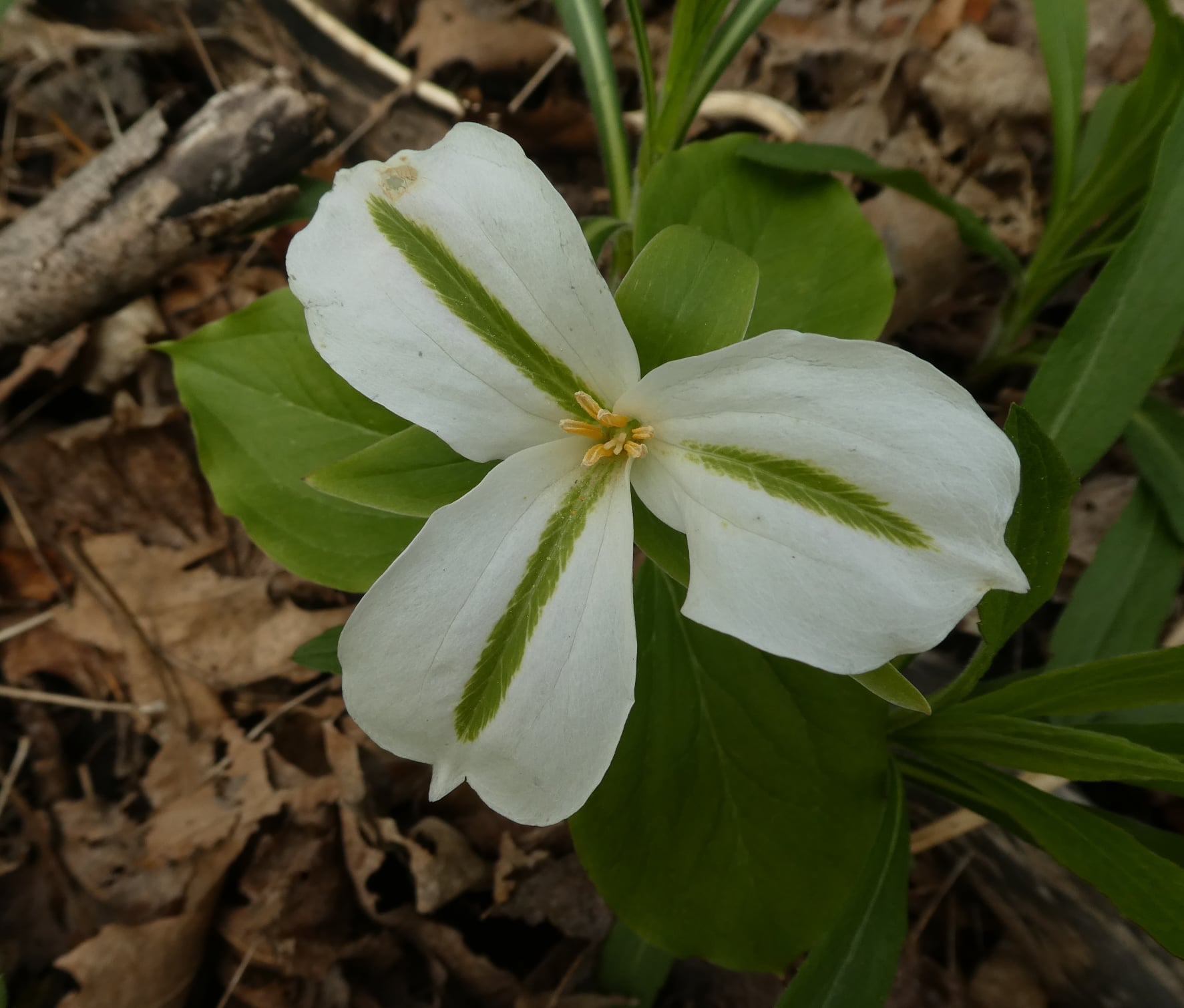
Our annual “Fund Raiser” challenge hike through the very picturesque “High Lands” and majestic forests of Dufferin County. Hikers who complete the two day end to end will receive the coveted Red Trillium Badge. Be sure to partake of our renown “treats” and hospitality at the Check-Points! and enjoy the social time at the end of each day.
Peninsula End to End - Stained Glass Badge
https://hikesstaging.brucetrail.org/event/peninsula-end-to-end-stained-glass-badge/Sorry, the registration cut-off time for this hike has been reached.Not a member? Click here to join today!This is a Multi-Day Hike
You are signing up for the following dates and times:
2025-05-10 at 07:30
2025-05-11 at
2025-05-24 at
2025-05-25 at
2025-05-31 at
2025-06-01 at
2025-06-07 at
2025-06-08 atHosting Club: Iroquoia, Peninsula
Category: Stained Glass Badge End to End Fundraiser Hike
Location (Google Maps): Coveney’s Rd and Crooked Toe Rd, WiartonHike Leader(s): Anita Bergsma Click here to contact Hike Leader(s)
Pace: Medium – 3 to 4 km/hr
Terrain: Slippery and Steep Sections, Slippery Sections Likely, Strenuous – Hilly with steep climbs and some poor footing
Distance: 165kmsDescription
Pace: Medium – 3 to 4 km/hr
Terrain: Dependent on Conditions, Moderate – Some hills and/or some poor footing, Strenuous – Hilly with steep climbs and some poor footing
Distance: 165km over 8 days ~ 20km – 25 km+ per day.Description
Overview
Important – Please do not register for this hike unless you can attend all 8 days. You may only miss 1 day if you have to but you will need to make it up prior to our last date.
This is a special series of 8 hikes to complete the Peninsula section of the Bruce Trail. The organization, guidance, logistics and Turkey Vulture stained glass badge are included in your fee which is non-refundable. (You may swap out the stained-glass badge for the regular end-to-end flowerpot badge) Proceeds support the Peninsula Bruce Trail Club which in turn supports the Bruce Trail Conservancy’s mission to “Preserve a ribbon of wilderness, for everyone, forever.”Along with the stained glass badge, we will explore the Birder 100 Badge, Fern Badge, Orchid Adventurer Badge and the new Tree Badge. These are optional and hikers can collect photos and submit directly to the club.
For this E2E in 8, we will be following the main trail northbound, eventually finishing in Tobermory. Please note that you are signing up for the entire series of 8 hikes as a Group Hike. The Peninsula in 8 series is geared toward experienced long-distance hikers with the expectation of a 3 to 4 km/ hr. pace maintained over a 20km plus day. The section is approximately 165km, so daily distances will be based on available parking. No dropout points have been established, and therefore, hikers who must drop out will be responsible for their transportation back to their vehicle. Please note that public transportation back to your car is pretty much non-existent in this section. Please be honest about your hiking abilities. We will hike at a steady pace, but there will be plenty of time to take pictures and enjoy the flora and fauna of this beautiful but challenging section. This particular set of 8 hikes is intended to be Moderate. It is a group hike, so you must be able to keep pace with the person in front of you.
Attire and Daily Hikes.
Hikers will be expected to be wearing proper hiking boots and layered clothing with the expectation of cool/warm and possible wet weather. Sufficient food and water for a full day of hiking is required as well as hiking poles (if you use them), and wet weather gear is strongly recommended. Bug spray is also suggested. Clothing adjustments and bio-breaks are as needed. Please let the sweep person know and they will wait for you. A morning break around 10 am and a 10-15 minute on-trail lunch break will be scheduled. An afternoon break will be based on our expected finish time. Depending on weather conditions, these times may vary. Everyone must carry a First Aid kit.
Since this is an end-to-end that would normally be held over 10 days, please do not sign up for this hike if you need to miss any of the days. Your attendance is needed on each of the days for sharing of car shuttling. One day may be made up if you absolutely must miss a day but please try to do this before the last day so that a badge can be given to you.
All participants will be expected to take turns either driving to the start or driving the drivers back at the end of the day. Carpooling to our meeting spot with 2 people in the car is generally ok but we would like to minimize and equalize the driving/shuttling as much as possible so it is fair for all participants.
Parking Fees
Some parking locations require paid parking, and hikes that enter Bruce Peninsula National Park. The fee for this E2E-in-8 does not include any parking/entry fees for hikers. These costs, where applicable, will be shared amongst all participants unless you have a parking or park pass.
Leave No Trace
Please remember, like all hikes, this is a Leave No Trace hike. Pack out whatever you pack in. Do not toss anything onto or into any sections of the trail. We will also try to leave the trail better than we found it so we will be collecting collectable garbage we might see along the way. Daily volunteers to collect trail trash will be supplied with a bag. Dogs will not be welcome on this hike.
Accommodations
It is strongly recommended you make reservations for accommodations as soon as you register for the hike if you need them. If you would like a roommate, I can share your email with any other registered participants who are also looking for shared accommodations. Please let me know.
Daily
We meet for each hike by at 7:30 am each day. A schedule for meeting and start locations will be sent to each participant in May. We will hike northerly each day. The schedule is subject to change.
End-to-End Makeup Hike in 8: Crane Lake Gate to Cyprus Lake, Marr Lake Trail
https://hikesstaging.brucetrail.org/event/end-to-end-makeup-hike-in-8-crane-lake-gate-to-cyprus-lake-marr-lake-trail/Sorry, the registration cut-off time for this hike has been reached.Not a member? Click here to join today!Hike open to BTC Members only.
Hosting Club: Peninsula
Category: Peninsula E2E
Location (Google Maps): Cyprus Lake, Marr Lake TrailHike Leader(s): Kathleen Stahlbaum Click here to contact Hike Leader(s)
Pace: Medium (3.0 – 4.5 km/h): A comfortable pace for most hikers with steady progress.
Terrain: Difficult: Steep ascents/descents, rocky scrambling, and some rugged escarpment paths., Moderate: Rolling hills, mild slopes and rocky paths.
Distance: 20.4Description
Expectations: Expect to be on-trail for 7-9 hours each day, depending on the daily distance. Time on the trail may vary based on terrain, conditions, and the pace of the group. Breaks will be taken for lunch, snacks, photography, and to appreciate the scenery.Meeting Time: Please arrive no later than 15 minutes prior to the scheduled time.
Participant Requirements:
- Intermediate/experienced hikers, comfortable with longer distances and elevation gains.
- Must be physically fit for group hiking.
- Proper hiking boots, layered clothing, and wet weather gear required. Hiking poles recommended.
- Essentials: Lunch, snacks, water, bug spray.
- Breaks for photography and appreciation of local flora and fauna.
Car Shuttle: Ensure your vehicle is passenger-ready.
Accommodations: Early reservations recommended, especially near meeting points or in Lion’s Head. Suggested options: motels, campgrounds, hostels, and B&Bs.

Peninsula BTC Trail Running End-to-End
https://hikesstaging.brucetrail.org/event/peninsula-btc-trail-running-e2e/Sorry, the registration cut-off time for this hike has been reached.Not a member? Click here to join today!Hike open to BTC Members only.
This is a Multi-Day Hike
You are signing up for the following dates:
2025-05-10, 2025-05-11, 2025-05-17, 2025-05-18, 2025-05-24, 2025-05-25, 2025-05-31, 2025-06-01Hosting Club: Peninsula
Category: Peninsula E2E
Location (Google Maps): PBTC E2E, starting in Bluewater Park, Wiarton, ONHike Leader(s): Margie Gloade, Natalie Mechalko, Shawn Radcliffe Click here to contact Hike Leader(s)
Pace: Fast (5.5 – 7.0 km/h+): A quick pace maintained by experienced hikers or trail runners.
Terrain: Difficult: Steep ascents/descents, rocky scrambling, and some rugged escarpment paths.
Distance: Approx. 171km total [~21km per day]Description
The Peninsula Bruce Trail Club (PBTC) is excited to offer its first-ever trail running End-to-End series in 2025. Join the fun and earn a specially-designed trail running PBTC E2E badge! The trail running Peninsula E2E series will take place over 4 weekends and 8 days, starting at 8:30am. Below are the start-end locations and estimated distance each day (subject to change slightly). Bus transportation will be provided, as necessary.Please carefully read the details below to understand the logistics, costs, and fitness required for this challenge.
- Saturday, May 10, 2025; Wiarton Bluewater Park to Coveney’s Rd.; 22km
- meet at Bluewater Park; bus at end only to return to vehicles.
- Sunday, May 11, 2025; Coveney’s Rd. to Hope Bay; 22km;
- meet at Bluewater Park; bus transports to start point and returns to vehicles.
- Saturday May 17, 2025; Hope Bay to Hawthorn ST parking, Barrows Bay; 23km;
- meet at Hawthorn ST parking; bus transports to start point only; route ends at meeting point.
- Sunday, May 18, 2025; Hawthorn ST to Richardson ST parking; 21km;
- meet at Hawthorn ST parking; bus at end only to return to vehicles.
- Saturday, May 24, 2025; Richardson ST parking to Cape Chin North; 19km;
- meet at Richardson ST parking; bus at end only to return to vehicles.
- Sunday, May 25, 2025; Cape Chin North to Crane Lake Rd; 16km;
- meet at Hwy#6 & Dyers Bay Rd. parking; bus transports to start point and returns to vehicles.
- Saturday, May 31, 2025; Crane Lake Rd to Cyprus Lake Horse Lake trail; 22km;
- meet at Hwy#6 & Dyers Bay Rd. parking; bus transports to start point and returns to vehicles.
- Sunday, June 1, 2025; Cyprus Lake Horse Lake trail to Tobermory Cairn; 19km;
- meet at Legion Street public parking lot in Tobermory (paid parking); bus transports to start point only; route ends close to Legion Street parking lot.
When you register, you are registering for the whole series. Depending on access points, daily distances will vary, ranging from 16-25km, with back-to-back days each of the four weekends. These are group trail runs; it is not a race. Participants are expected to have some experience trail running as this is difficult terrain. There may be a couple different pace groups that naturally form, but you will be expected to stay with a group and wait to regroup at key locations. Anticipate each day to be running for about 3+/- hours, at a pace ranging from 7-9 min./km.
Trail runners will need to carry their own water and fuel. At approximate mid-way points each day, there will be volunteer support arranged so you can fill up water bottles and to collect any additional fuel/gels that you drop-off in their vehicle in advance. We will be looking for at least one volunteer with a vehicle each day; please keep this in mind if you have someone joining you that may be available to assist.
There will be a school bus that transports the group to and from vehicles at the start and end points, as required (varies each day). You may be able to leave your water, snacks, and dry clothes on the bus or with a volunteer support vehicle.
The fee is $200. This fee covers bus transportation (at a weekend rate), bus parking and entrance fees at the National Park, parking fees for volunteer support, the new E2E badge, and a donation to PBTC. This E2E series is for BTC members only. To become a member, click here: https://development.brucetrail.org/. The designated meeting points will not incur any additional personal parking fees, but participants are encouraged to car pool if possible.
There will be a maximum number of 25 participants.
A minimum number of 15 participants is required to ensure bus costs are covered. If 15 participants are not secured, the trail running E2E will continue but without the bus transportation. Participants will be refunded $150; bus will be cancelled; and personal vehicle shuttling will be used to get the group from start to end points each day. This decision will be made 14 days before the series starts (by April 25, 2025).
No refunds will be considered after April 25, 2025.
The trail run will go ahead rain or shine, however, in extremely inclement weather, a date may be cancelled and rescheduled, ideally prior to the June 1st finish date.
If you are not available for one or more of the series, you can complete the route(s) on your own to earn the new PBTC trail running E2E badge.
School Bus Hike: Niagara E2E #3 of 6
https://hikesstaging.brucetrail.org/event/bus-hike-niagara-e2e-3-of-6/Sorry, the registration cut-off time for this hike has been reached.Not a member? Click here to join today!Trip Information
Departure Time: 08:30
Return to City Time: 18:00
Departure Point: Kipling Departure PointOptional Items
Hosting Club: Toronto
Category: Bus Hike
Location (Google Maps): Niagara Section Kms 29.9 to 46.7Hike Leader(s): Tim Wainwright, Felix Wan Click here to contact Hike Leader(s)
Pace: Moderate (3-4 km/hr)
Terrain: Variable
Distance: 16.8Description
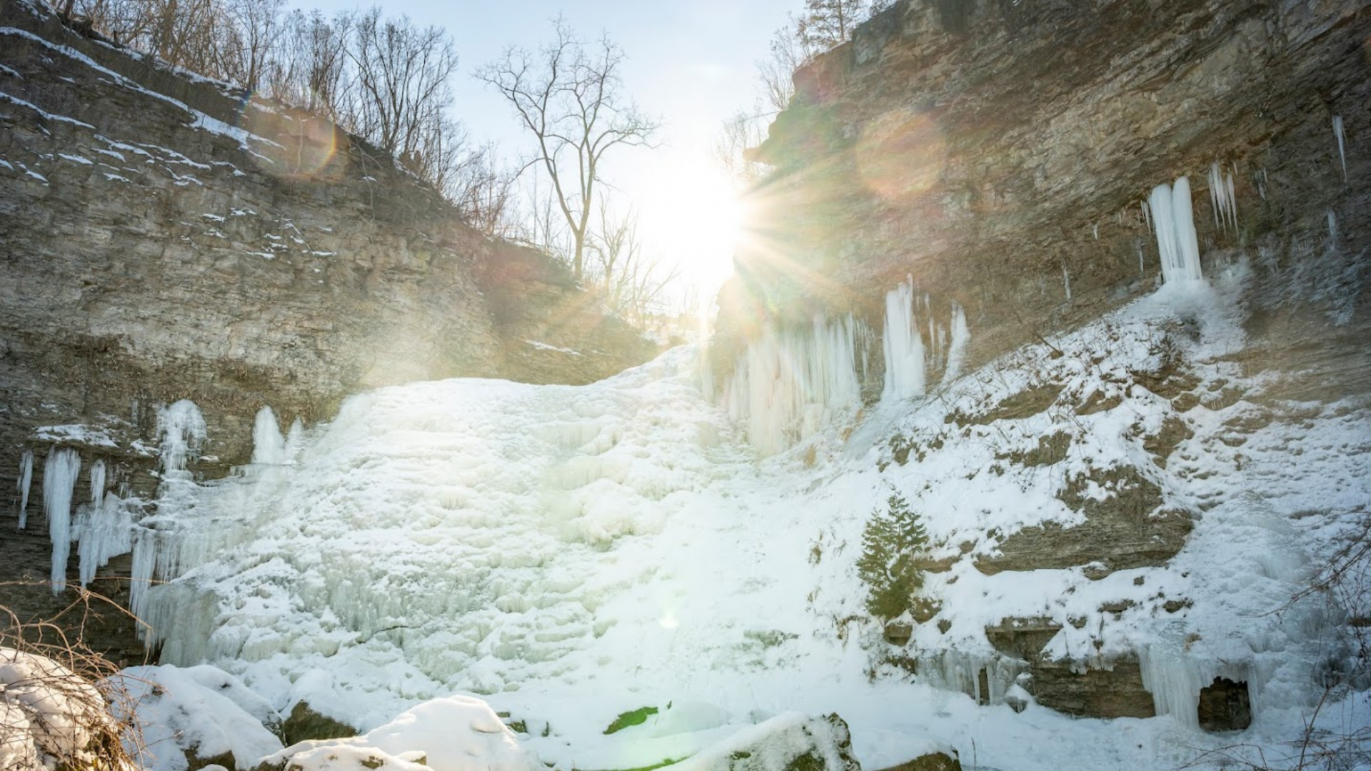
Join us for a lovely hike through Short Hills Provincial Park outside of St. Catharines. We begin at the DeCew House Heritage Park, and then follow the shore of Lake Moodie, and cross Twelve Mile Creek on the way to Short Hills Provincial Park. In the park we’ll pass a couple of waterfalls, before ending at Rockway Falls in the Rockway Conservation Area. There will be a refreshment stop on the way back to Toronto.Bring a packed lunch, two litres of water and sun/rain/bug protection as needed. Be prepared for some muddy ground along the way.
Drop-out point at 7 kms.
See Map 3 in the Bruce Trail Guide.
The remaining hikes in the Niagara E2E are:
- May 17
- May 24
- June 7
Car Hike: Bethesda Trail Richmond Hill
https://hikesstaging.brucetrail.org/event/car-hike-bethesda-trail-richmond-hill-24/Sorry, the registration cut-off time for this hike has been reached.Not a member? Click here to join today!Hosting Club: Toronto
Location (Google Maps): Meet at Bethesda Trail Head Parking on Bethesda Sideroad off Bayview Avenue, across from Lake Wilcox. This parking lot is free.
Hike Leader(s): Mohammad Aghamiri Click here to contact Hike Leader(s)
Pace: Moderate (3-4 km/hr)
Terrain: Hilly, Level 2 (Intermediate – some hills and uneven surfaces, rocks and roots underfoot), Variable
Distance: 12-14 kmDescription
Join us to explore the trails of York Regional Forest and the Oak Ridges Corridor at Jefferson Forest and Bond lake,From parking lot we hike thought Jefferson forest and continue to Bond Lake and have snack beside the lake and return to parking around 13 to 13.30

Iroquoia Bruce Trail Club Pre-AGM / Waterfall Hike
https://hikesstaging.brucetrail.org/event/iroquoia-bruce-trail-club-pre-agm-waterfall-hike/Sorry, the registration cut-off time for this hike has been reached.Not a member? Click here to join today!Hike open to BTC Members only.
Hosting Club: Iroquoia
Category: Special Event
Location (Google Maps): St. James United Church (Parking Lot)
306 Parkside Drive, Waterdown (Hamilton)Hike Leader(s): Joe Borges Click here to contact Hike Leader(s)
Pace: Medium – 3 to 4 km/hr
Terrain: Easy – Mostly flat and usually good footing, Moderate – Some hills and/or some poor footing
Distance: 8 kmDescription
Please join us for a pre-AGM hike to and from the location of the Iroquoia Bruce Trail Club AGM.The hike route will be:
1) St. James to Smokey Hollows (1.7 km)
2) Smokey Hollow to Norman Pearson Side Trail (0.8 km)
3) Norman Pearson ST (1.4km) – tough hills for some
4) McNally ST (.5) to Donor Wall + Seed Garden
5) Return to Smokey Hollow (1 km)
6) Return to St. James (1.7 km)We should be back just in time for the Meet and Greet, before Lunch and AGM.
Please bring enough water and snacks for your hike. Trails may be muddy, so gaiters would be useful.
We encourage Hikers to register and stay for the AGM after our Hike. Connect with other members, help commemorate a wonderful year for the Club and to celebrate all our amazing volunteers.
Full AGM Details and Agenda below.AGM LOCATION:
St. James United Church, 306 Parkside Drive, Waterdown11:00 AM-12:00 PM
MEET-AND-GREET
NEW THIS YEAR! CONNECT WITH YOUR TRAIL COMMUNITY12:00 1:00 PM
LUNCH
ENJOY A DELICIOUS MEAL TOGETHER1:00-1:45 PM
AGM & VOLUNTEER AWARDS
CELEBRATE THE HEART OF OUR CLUB1:45-2:15 PM
GUEST SPEAKER MARK HARRIS
AUTHOR OF WATERFALLS OF ONTARIOMark Harris is a professional geoscientist and a leading authority on Ontario’s waterfalls—with over 20 years of dedicated work in this field. He holds a BSc and a Master’s Degree in Physical Geography and is licensed as a professional geoscientist in Ontario. His academic background, combined with his passion for field exploration, has driven him to study the geomorphology and hydrology behind these natural wonders.
In addition to his professional work in water resources management and environmental protection, Mark has channeled his expertise and enthusiasm into the “Waterfalls of Ontario” project. This project not only documents hundreds of waterfalls across the province but also educates the public on their geological and historical significance. His book, Waterfalls of Ontario: Revised Edition (published May 10, 2022, ISBN: 9780228103615), co-authored with photographer George Fischer, is a comprehensive travel guide and pictorial celebration of Ontario’s waterfalls. The book features full-page colour photographs, detailed descriptions, driving directions with GPS coordinates, and insights into the history and natural characteristics of each fall. This blend of scientific insight and practical guidance has made Mark Harris a trusted figure among outdoor enthusiasts, nature photographers, and anyone interested in exploring the natural beauty of Ontario.
9:15 Spring Blooms and Blossoms along the Niagara Parkway
https://hikesstaging.brucetrail.org/event/915-spring-blooms-and-blossoms-along-the-niagara-parkway/Sorry, the registration cut-off time for this hike has been reached.Not a member? Click here to join today!Hosting Club: Niagara
Category: In and Out
Location (Google Maps): Centennial Lilac GardenHike Leader(s): Karen Couch Click here to contact Hike Leader(s)
Pace: Medium
Terrain: Easy
Distance: 6 kmsDescription
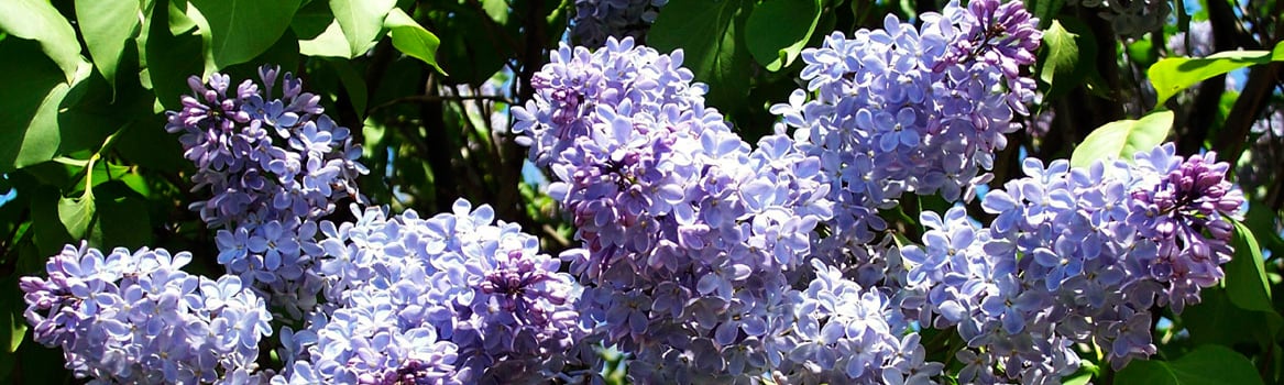
Experience the colours and scents in the Centennial Lilac Garden featuring over 200 varieties. Next, stop at the Floral Clock, one of the largest in the world, for a close-up view of its unique floral design. Then, walk along the Niagara River Parkway to loop through the Niagara Parks Botanical Gardens, stopping to enjoy the spring flora.Nature and Art - A hike along the River and Ruin Side Trail - within the BTC's Maple Cross Nature Reserve - and a stroll through Walt Rickli Art Sculpture Garden.
https://hikesstaging.brucetrail.org/event/nature-and-art-a-hike-along-the-river-and-ruin-side-trail-within-the-btcs-maple-cross-nature-reserve-and-a-stroll-through-walt-rickli-art-sculpture-garden/Sorry, the registration cut-off time for this hike has been reached.Not a member? Click here to join today!Hosting Club: Caledon Hills
Category: General
Location (Google Maps): 6207 Lowville Park Rd., BurlingtonHike Leader(s): Doris Harper Click here to contact Hike Leader(s)
Pace: Medium – 3 to 4 km/hour
Terrain: Moderate – some hills and/or some poor footing
Distance: approximately 6 kmDescription
We will meet in Lowville Park at 9:30 AM. The park is located behind the Lowville Bistro on Guelph Line. The park entrance is gated but the arm will rise as you approach the gate. There are no parking fees.From the park we will cross Guelph Line and enter the park through a local trail. We will loop hike the River and Ruin, Squire Cleaver, and Dan Welsh Side Trails, then hike back to Lowville Park. Across the road we will find the unique Walt Rickli Art and Sculpture Garden. We will stroll through the garden. For those who may be interested, a few kms north on Guelph Line is the Trail Eatery, good basic food, enjoyed by hikers, post hike.
Geology Hike #6B Inglis Falls loop
https://hikesstaging.brucetrail.org/event/geology-hike-6b-inglis-falls-loop/Sorry, the registration cut-off time for this hike has been reached.Not a member? Click here to join today!Hosting Club: Sydenham
Category: Geology Hike
Location (Google Maps):GSCA
Hike Leader(s): Carol Graham-Mullin Click here to contact Hike Leader(s)
Pace: Leisurely: 3 km/h or less
Terrain: Easy: Mostly flat and good footing., Moderate: Some hills and/or poor footing, Strenuous: Hilly with steep climbs and some poor footing., There are crevices or holes which may be hidden by layers of snow. Hike with extreme caution.
Distance: 5.5 km. approxDescription
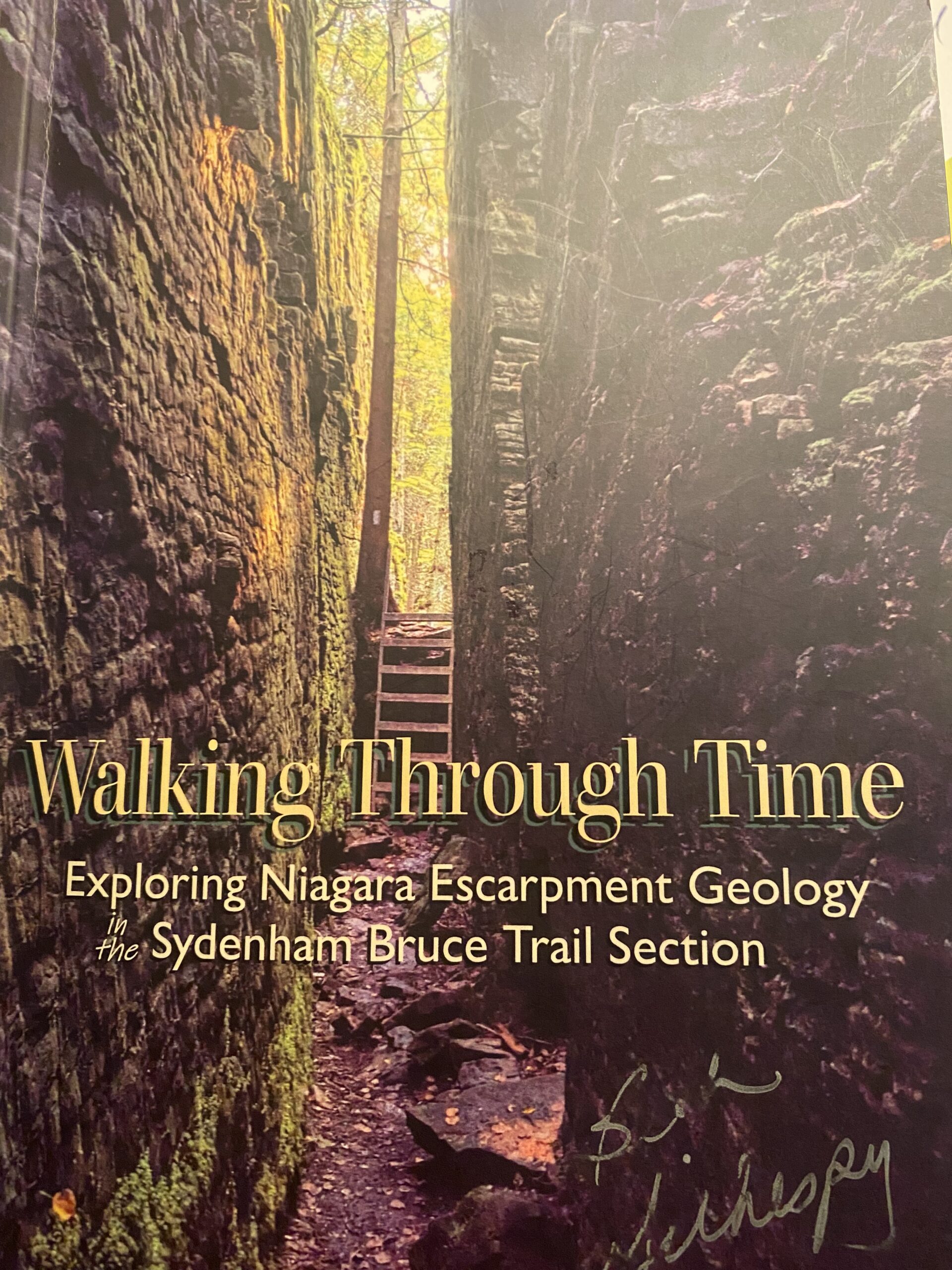
This is part B of Geology Hike #6 (Inglis Falls loop) following Beth Gilhespy’s book “Walking Through Time” in the Sydenham Bruce Trail Section. This is a loop hike, starting from the parking lot at Grey Sauble Conservation Area parking lot behind the main building. We will hike in a southerly direction on the main trail towards Inglis Falls, cross the Inglis Falls Road and continue on main trail to join the Creamery Hill sidetrail and back to our cars.Copies of Beth’s book will be available for purchase. Special member’s only price of $37.00 . Cash, cheque or etransfer. If paying with cash, please bring exact change. A special guest may join us ! Please bring water and a snack if you wish. Proper hiking footwear and hiking poles are recommended.
Urban Walk: Toronto Urban Badge Hike - 3 of 7
https://hikesstaging.brucetrail.org/event/urban-walk-toronto-urban-badge-hike-3-of-7/Sorry, the registration cut-off time for this hike has been reached.Not a member? Click here to join today!Hosting Club: Toronto
Category: Urban Walk
Location (Google Maps): Toronto Waterfront TrailHike Leader(s): Brian Rideout Click here to contact Hike Leader(s)
Pace: Moderate (3-4 km/hr)
Terrain: Flat
Distance: 10.4 kmDescription
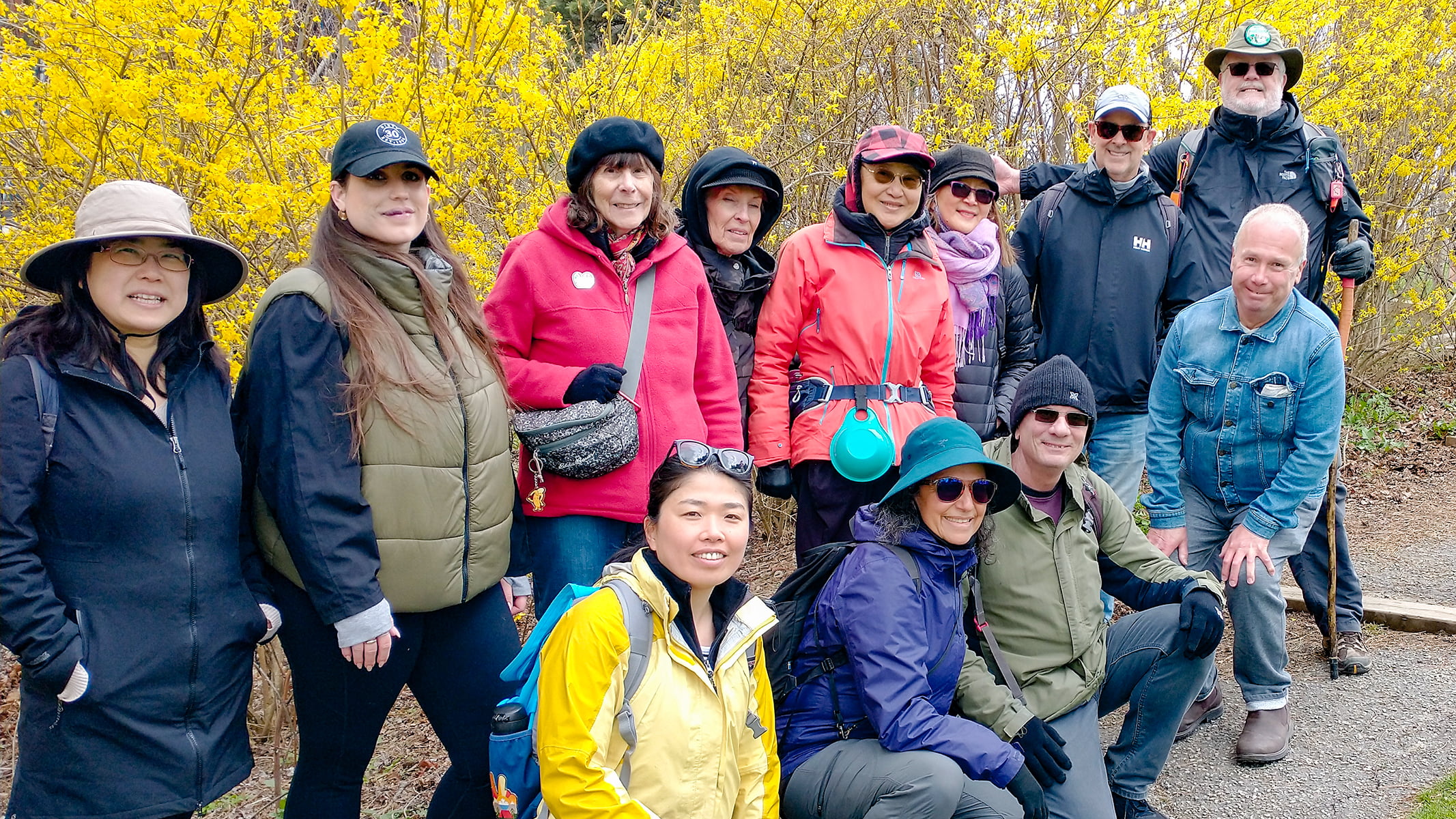
Please join me at the south west corner of Lakeshore Blvd West and Ellis by 10 AM. We will hike east along the Waterfront Trail to the Distillery District (km 8.3 to km 71.4). Here is an online map with km markings of our route for all 7 hikes for the Toronto Urban Badge.Please make sure you bring at least 2 liters of water, a lunch, bug spray and sunscreen.
10:30 Taylor Property Nature Walk and Pull Party
https://hikesstaging.brucetrail.org/event/1100-taylor-property-nature-walk-and-pull-party-2/Sorry, the registration cut-off time for this hike has been reached.Not a member? Click here to join today!Hosting Club: Niagara
Category: In and Out
Location (Google Maps):Taylor Property, Leonard Crescent, Lincoln, Beamsville, ON
Hike Leader(s): Helen Hermansen Click here to contact Hike Leader(s)
Pace: Leisurely
Terrain: Moderate
Distance: about 3 kmDescription
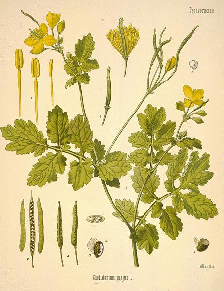
Welcome to my second annual Pull-Party! We will park on Leonard Crescent in Lincoln (south of Beamsville) to explore the Taylor Property. On the way in we will look at the spring ephemeral flowers and learn to recognize the two invasive plants, garlic mustard and greater celandine, which we will be pulling out on our return.Bring your gardening gloves and a snack to enjoy during the break.
This is a beautiful section of the trail so we won’t work too hard!
Note that the orange sap of the greater Celandine can be irritating to skin and eyes, and both unpalatable and toxic if ingested; And it can stain your clothes. Much to learn about this plant.