
Hike Schedule
Join us for a hike! Registration required.
All hikes available to BTC members. Some hikes are open to non-members.
See Refund Policy for Paid Hikes >
TIP: The calendar view displays up to 7 hikes on a day, but often there are more. Click “View more events” to see them all.
Categories
- 27May 27, 2025
8:00 Long Hike Wiley Road Short Hills (NEW TIME)
https://hikesstaging.brucetrail.org/event/800-long-hike-wiley-road-short-hills-new-time-4/Sorry, the registration cut-off time for this hike has been reached.Not a member? Click here to join today!Hosting Club: Niagara
Location (Google Maps):
Short Hills Wiley Road Entrance
Pace: Medium
Terrain: Moderate
: 10kmDescription
Explore Short Hills and the majestic side trails of Scarlett Tanager, Hemlock. Swayze Falls and Terrace. Register for each hikeBring Poles, Sun Screen Bug Spray, snack, and dress for the weather
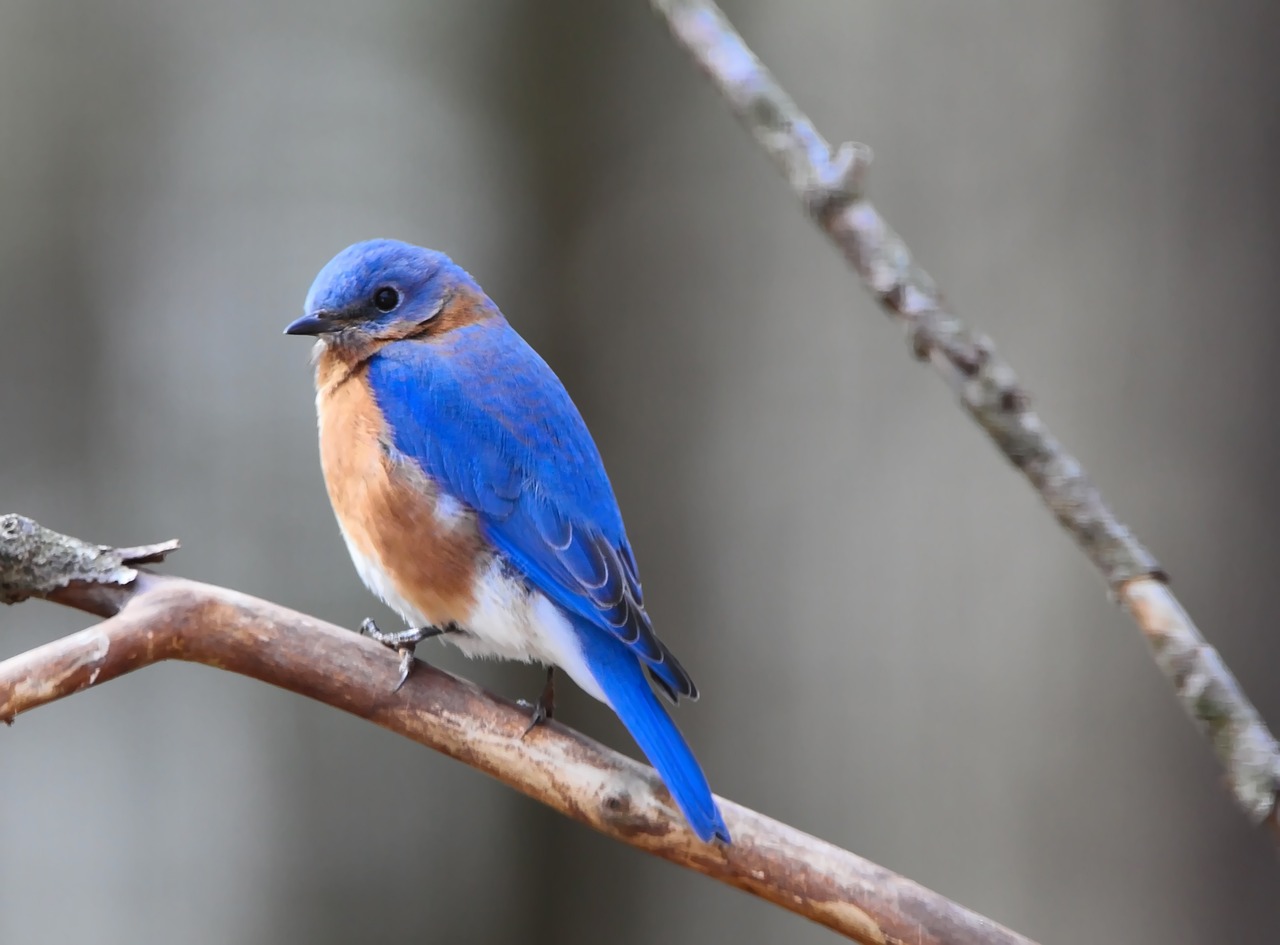
Spring Birding: Wetlands, Meadow and Forest Hike
https://hikesstaging.brucetrail.org/event/spring-birding-wetlands-meadow-and-forest-hike/Sorry, the registration cut-off time for this hike has been reached.Not a member? Click here to join today!Hosting Club: Peninsula
Category: Birding
Location (Google Maps): Meet at the corner of Crooked Toe Road and Boundary Road. Please carpool, if possible.Hike Leader(s): Marg Glendon & Miptoon Click here to contact Hike Leader(s)
Pace: Leisurely (2.0 – 3.0 km/h): A relaxed pace with frequent breaks and a focus on enjoyment.
Terrain: Easy: Flat forested sections or lowland trails., Moderate: Rolling hills, mild slopes and rocky paths.
Distance: ~3 kmDescription
Join us for a guided birding hike on the Saugeen Peninsula. Miptoon, a respected Knowledge Holder and local birding enthusiast from Neyaashiinigmiing will share his joy and knowledge of birds throughout our hike. As migrating birds return for the spring and summer, we’ll explore diverse habitats—including wetlands, forests, and meadows—offering a chance to observe a variety of bird species. Bring binoculars, a light backpack with essentials (snacks, water, and ID resources), and dress appropriately with long-sleeved clothing, a hat, and waterproof hiking boots. Be prepared for possible wet terrain. Hiking poles, gaiters, bug net hat and insect repellent are optional. This hike will be ~2 hours in duration. Participants are welcome to linger longer, if they wish. Raindate – May 28th.Dufferin Hi-Land 60th Anniversary Highlight Hikes, Hike 6: Rock Hill, Moss Haven Side Trails
https://hikesstaging.brucetrail.org/event/dufferin-hi-land-60th-anniversary-highlight-hikes-hike-6-rock-hill-moss-haven-side-trails/Sorry, the registration cut-off time for this hike has been reached.Not a member? Click here to join today!Hosting Club: Dufferin Hi-Land
Category: Tuesday Hike
Location (Google Maps):Dufferin Hi-Land, Map 20. Meet at Rock Hill parking lot on 1st Line Mulmur, just south of 10 Sideroad (Km 28.3).
Hike Leader(s): Les Babbage, Inge Eckerich, Julie Daley, Tony Evangelista Click here to contact Hike Leader(s)
Pace: Leisurely, Medium
Terrain: Moderate
Distance: 5.5 km; Short Hike: 3.5 kmDescription
Our celebration of Dufferin Hi-Land BTC’s 60th Anniversary continues with another highlight of the section. Hike 60 km in Dufferin during 2025 and you qualify for the 60th Anniversary badge.Today’s hike includes two loops. The Main Trail/Moss Haven Side Trail loop takes us into the Boyne Valley and back beside a scenic stream that tumbles down to Oliver Creek. The second loop consisting of Main Trail and Rock Hill Park Side Trail takes us over and beside a stunning collection of crevices. The short hike will end after the first loop. Bring water, snacks.
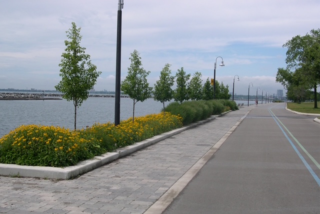
Urban Walk: High Park and Toronto Waterfront Trail
https://hikesstaging.brucetrail.org/event/urban-walk-high-park-and-toronto-waterfront-trail-3/Sorry, the registration cut-off time for this hike has been reached.Not a member? Click here to join today!Hosting Club: Toronto
Location (Google Maps):
High Park Subway Station Street Level (East Exit – High Park Avenue (by the bus loop)
Hike Leader(s): Miriam Stevens Click here to contact Hike Leader(s)
Pace: Leisurely (2-3 km/hr)
Terrain: Flat, Level 1 (Easy – mostly on flat, well maintained trails with hard-packed surface)
Distance: 10 KMDescription
Join us for a leisurely hike through High Park and then east along Toronto’s Waterfront Trail to Harbourfront Centre passing though many small parks including the Music Garden. Refreshments at a coffee shop on Queens Quay at Harbourfront. Bring lunch and drinking water. Dropout any time. We’ll arrive at Harbourfront Centre around 2:00 PM. This will be repeated Tuesday May 13th, Tuesday May 27th, Tuesday June 3rd, and Tuesday June 24th. No pre registration is required. Just show up 15-20 minutes before to departure time to sign in with the hike leader.
Afternoon Hike - Crawford Lake
https://hikesstaging.brucetrail.org/event/afternoon-hike-twiss-road/Sorry, the registration cut-off time for this hike has been reached.Not a member? Click here to join today!Hosting Club: Iroquoia
Category: Afternoon/Evening Hikes
Location (Google Maps): Meet in the first parking lot at 4:15 pmHike Leader(s): Karen Bergmann Click here to contact Hike Leader(s)
Pace: Medium – 3 to 4 km/hr
Terrain: Moderate – Some hills and/or some poor footing
Distance: 6 kmsDescription
We will hike around the park loop and perhaps the boardwalk. - 28May 28, 2025
Car Hike: Blue Mountains E2E, hike #1 of 3
https://hikesstaging.brucetrail.org/event/car-hike-blue-mountains-e2e-hike-1-of-3/Sorry, the registration cut-off time for this hike has been reached.Not a member? Click here to join today!Hike open to BTC Members only.
Hosting Club: Toronto
Category: Car Hike
Location (Google Maps): Road side parking, Mulmur Nottawasaga Townline, at the cemetery. Coordinates N 44.268777,W 80.156810 map 21 edition 31Hike Leader(s): Smadar junkin Click here to contact Hike Leader(s)
Pace: Brisk (4-5 km/hr)
Terrain: Hilly, Variable
Distance: 22 kmDescription
Welcome to Blue Mountains E2E, we will hike the section in 3 days. Please register to each hike individually. We will enjoy the beautiful section and go up and down the hills. Please bring 2 litres of water, bug protection, snacks and lunch. If you need to get in touch with me, email me on my email address provided in this posting. Arrive 15 minutes early so we can shuttle by 8:30. Please note that we are shuttling to a paid parking. Everyone is expected to pay their share of the parking.WEDNESDAY WALKERS - Loree Forest
https://hikesstaging.brucetrail.org/event/wednesday-walkers-loree-forest-3/Sorry, the registration cut-off time for this hike has been reached.Not a member? Click here to join today!Hosting Club: Beaver Valley
Location (Google Maps): Paid parking on the shoulder of the 21st Side Road. Map 24, Edition 31 (Arrangements can be made in advance to shuttle to the trailhead.)
Hike Leader(s): Margaret Yaraskavitch Click here to contact the hike leader.
Pace: Medium
Terrain: Easy
Length of Hike: 6.5 kmsDescription
We will take the access road into Loree Forest where we will then walk a loop. Most of the Trail is flat. There will be views of Nottawasaga Bay and a walk through a mature deciduous forest. Then we take the access road back to our parking area. A popular well-enjoyed route. Please bring water and a snack.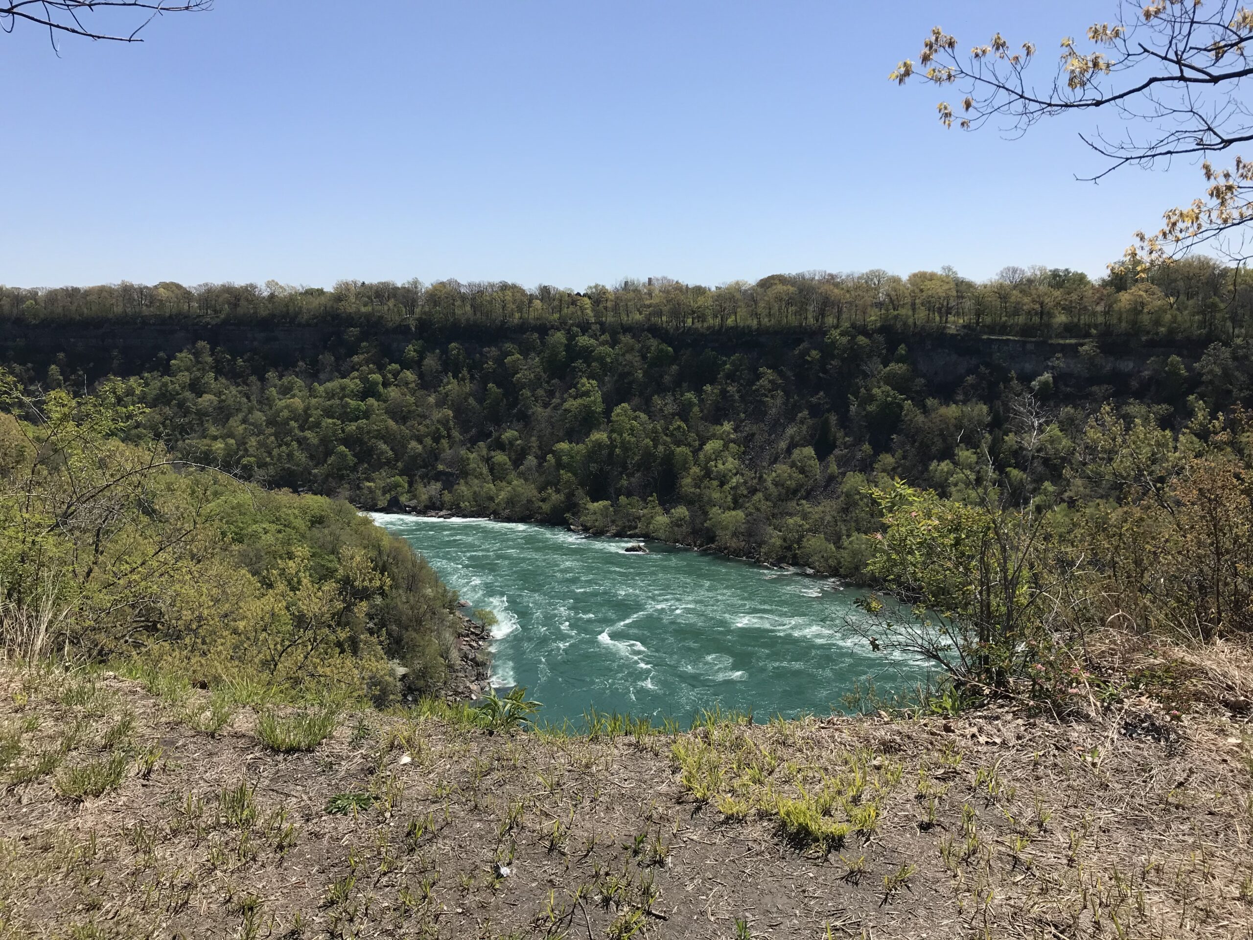
Niagara Glen Short and Sassy
https://hikesstaging.brucetrail.org/event/niagara-glen-short-and-sassy-4/Sorry, the registration cut-off time for this hike has been reached.Not a member? Click here to join today!Hosting Club: Iroquoia
Category: Good Companions
Location (Google Maps):Niagara Glen, 3050 Niagara Parkway, Niagara-on-the-Lake, ON
Hike Leader(s): Craig Sim Click here to contact Hike Leader(s)
Pace: Medium – 3 to 4 km/hr
Terrain: Moderate – Some hills and/or some poor footing
Distance: 6-7k (approximate)Description
Loop hike in beautiful Niagara Glen, NOT using Whirlpool Trail. We meet in between Niagara Glen parking lot and building near lot. Pay parking or Niagara parks pass. Trail ranges from moderate to quite rocky, has hills and stairs. Watch footing. Lots of boulders and great views close to Niagara River. We descend steel stairs before and after hike. Wear hiking boots or shoes. Bring water, snack, appropriate layered clothing for the weather and rain gear. Optional beverage/food after. Niagara Glen is close to both Butterfly Conservatory and Floral Clock.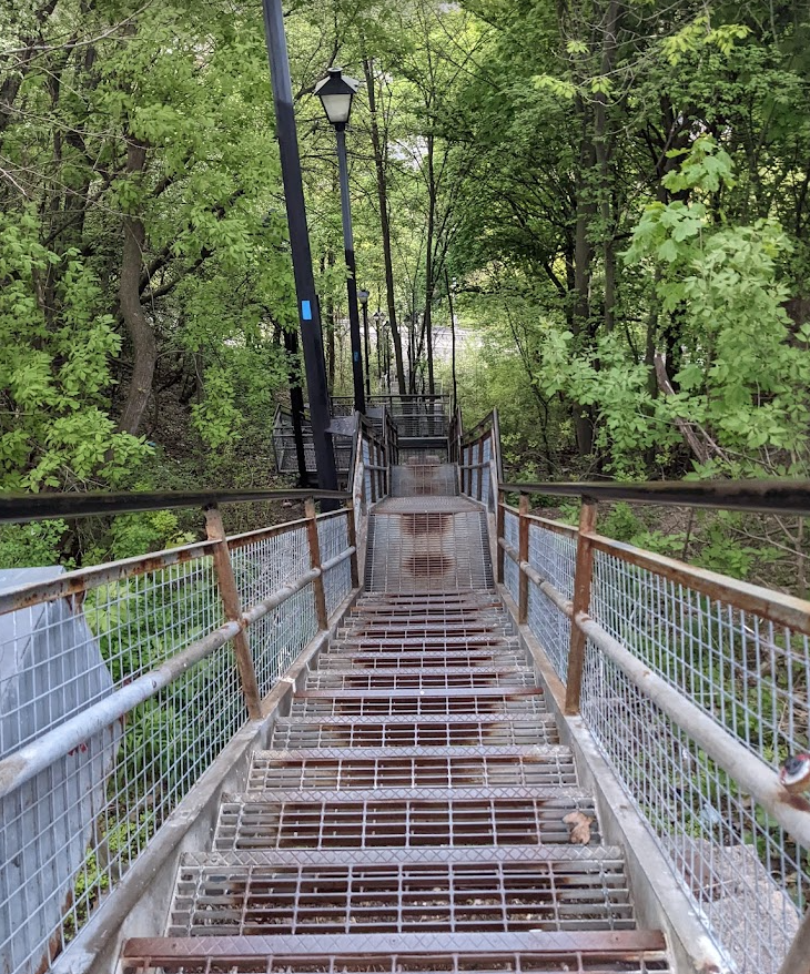
WEEKNIGHT RAINBOW HIKE: Escarpment Rail Trail plus Stairs
https://hikesstaging.brucetrail.org/event/weeknight-rainbow-hike-escarpment-rail-trail-plus-stairs/Sorry, the registration cut-off time for this hike has been reached.Not a member? Click here to join today!Hosting Club: Iroquoia
Category: Afternoon/Evening Hikes
Location (Google Maps): We’ll meet at the bottom of the Wentworth Stairs (below Charlton St.) and follow Escarpment Rail TrailHike Leader(s): Doug O’Neill Click here to contact Hike Leader(s)
Pace: Medium – 3 to 4 km/hr
Terrain: Easy – Mostly flat and usually good footing
Distance: 8 kmDescription
This all-inclusive LGBTQ-friendly hike is indeed “mostly flat.” But, as your mama no doubt told you: “Men can lie.” 🙂 This weeknight fitness walk actually includes two Escarpment Stairs. The good news: You’ll climb only one and dance down the other.From the bottom of Wentworth Stairs, we’ll follow the flat Escarpment Rail Trail all the way to the historic Uli Stairs, which we’ll climb up to Mountain Brow. Upon reaching the top, we’ll take a break, stretch, have a snack and gulp some water before we saunter along the Mountain Brow path to Margate Stairs. There, we’ll descend to the Rail Trail, and head back to the starting point at Wentworth.
Bring water and energizing snacks—especially if you’ve come directly from work. Insect repellent is a good idea, too.
Consider this 8-km weeknight hike good training for longer weekend hikes.
- 29May 29, 2025
8:00 am Long Hike Glen Road Jordan NEW TIME
https://hikesstaging.brucetrail.org/event/800-am-long-hike-glen-road-jordan-new-time-5/Sorry, the registration cut-off time for this hike has been reached.Not a member? Click here to join today!Hosting Club: Niagara
Location (Google Maps):
Glen Road Jordan
Pace: Medium
Terrain: Moderate
: 10kDescription
This will be our permanent Thursday Location until Bridge repairs complete. From Glen Road explore the trail network on the escarpment towards Balls Falls and Moyer Road.You must register for each hike. Bring Poles, snack bug spray, sunscreen and a drink. Dress for the weather
Car Hike: Blue Mountains E2E 2/3
https://hikesstaging.brucetrail.org/event/car-hike-blue-mountains-e2e-2-3/Sorry, the registration cut-off time for this hike has been reached.Not a member? Click here to join today!Hosting Club: Toronto
Category: Car Hike
Location (Google Maps):Map 22- Km 21.9, Nattawasaga Bluffs Conservation Area. Coordinates N 44.342784,W 80.210628
Hike Leader(s): Smadar Junkin Click here to contact Hike Leader(s)
Pace: Brisk (4-5 km/hr)
Terrain: Challenging, Hilly
Distance: 25 kmDescription
Second hike in the Blue Mountains E2E series. This is the longest hike of the series. Beautiful, hilly and challenging. Please bring 2litres of water. Arrive 15 minutes early. The meeting place parking is a paid parking, everyone is expected to pay their share of the parking fees. We will shuttle to km 46.8 and hike back.Hiking Around Cave springs. NEW LOCATION
https://hikesstaging.brucetrail.org/event/hiking-around-cave-springs-new-location-10/Sorry, the registration cut-off time for this hike has been reached.Not a member? Click here to join today!Hosting Club: Niagara
Location (Google Maps):
Cave Springs Conservation Area)
Hike Leader(s): Bill Russell Click here to contact Hike Leader(s)
Pace: Medium
Terrain: Moderate
Distance: 6kDescription
Hiking in and around Cave Springs
Hidden Valley to Hendrie Valley
https://hikesstaging.brucetrail.org/event/hidden-valley-to-hendrie-valley/Sorry, the registration cut-off time for this hike has been reached.Not a member? Click here to join today!Hosting Club: Iroquoia
Category: General Hike
Location (Google Maps):Meet at the parking lot at 1137 HIDDEN VALLEY ROAD -east side of Road -by the Hidden Valley Park washrooms(NOT the south lot off Lemonville Rd)
Hike Leader(s): Cathie Green Click here to contact Hike Leader(s)
Pace: Medium – 3 to 4 km/hr
Terrain: Moderate – Some hills and/or some poor footing
Distance: Approximately 8 kmsDescription
We will follow a community trail from Hidden Valley Park in Burlington following Grindstone Creek to RBG Hendrie Valley where we will hike the Bridleand Grindstone Marsh Trails with some road walking to connect the trails –
Lots of wildlife can be seen in this area -birds, deer, swans and wildflowers too
Spring like conditions-wet areas-dress for the weather, bring water, hiking poles, boots, lunch or snack.
https://maps.app.goo.gl/ajsLB5BP3zwBGtCCA
Urban Walk: Toronto Islands Evening Walk
https://hikesstaging.brucetrail.org/event/urban-walk-toronto-islands-evening-walk-13/Sorry, the registration cut-off time for this hike has been reached.Not a member? Click here to join today!Hosting Club: Toronto
Location (Google Maps):
Jack Layton Ferry Terminal, near the gates to Wards Island Ferry. Arrive 20 minutes prior to departure to check in with hike leader.
From Union Station take the LRT and get off at the stop Ferry Docks.Walk up to the Ferry Docks on Queens Quay West, street level. at the foot of Bay Street.
Hike Leader(s): Miriam Stevens Click here to contact Hike Leader(s)
Pace: Leisurely (2-3 km/hr)
Terrain: Flat
Distance: 6-9 kmDescription
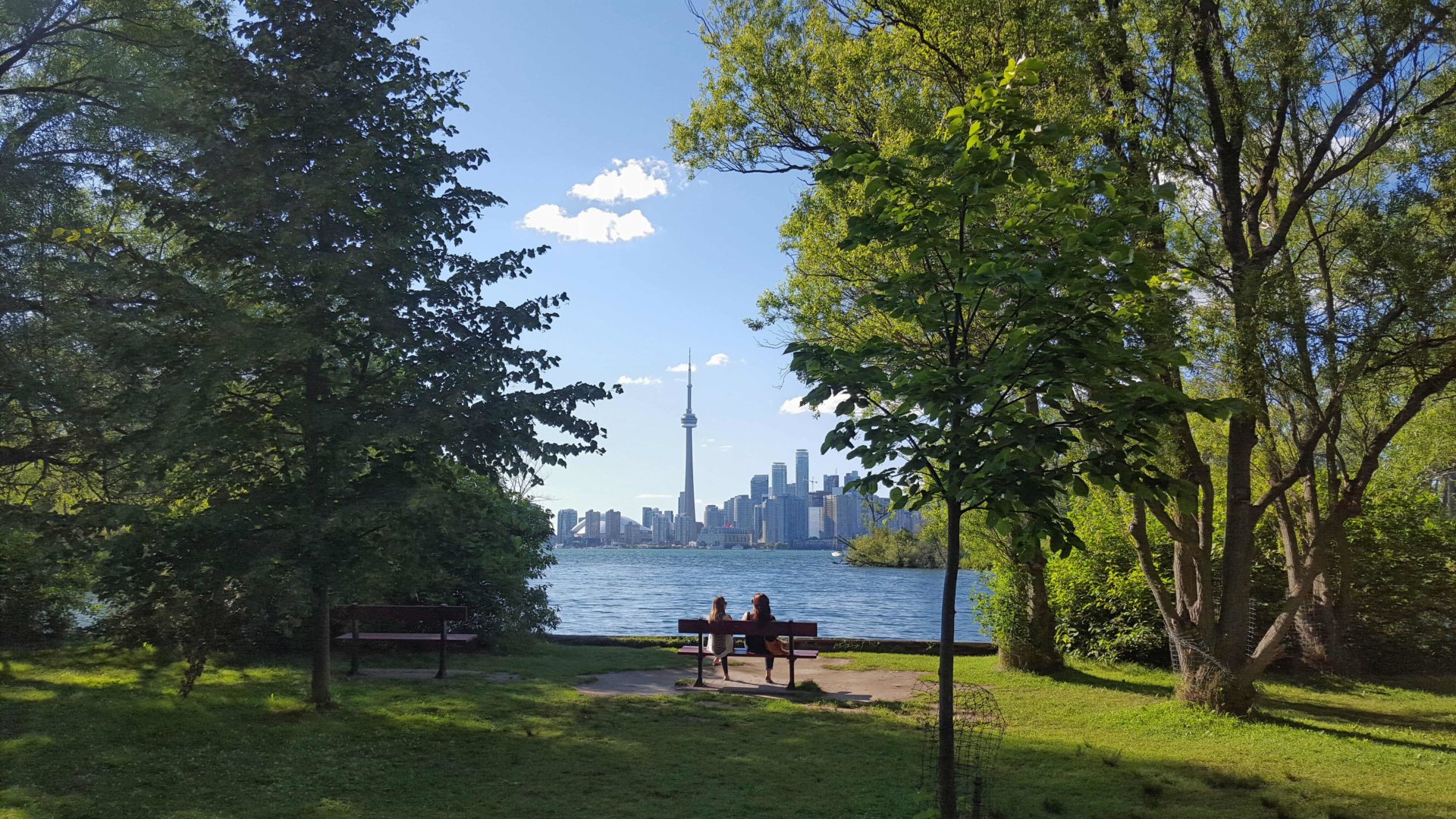
After a day’s work come and “cool off” on the Toronto Islands free of fumes and traffic. Enjoy the view of the city skyline and Toronto’s beautiful island parkland.
Pack a dinner for a sit down picnic. Food is not available for purchase on the Islands early in the season. Also bring a warm jacket and flashlight.
Return fare ticket for the ferry is $9.11 adults and $5.86 seniors.
Hikes will take place rain or shine.
Toronto Island evening hikes will take place every Thursday in May and June 2025.
Same time and same meeting place. No preregistration is required – just show up at the ferry docks at 5:40 PM and sign in with the hike leader. - 30May 30, 2025
Car Hike: Blue Mountain E2E 3/3
https://hikesstaging.brucetrail.org/event/car-hike-blue-mountain-e2e-3-3-2/Sorry, the registration cut-off time for this hike has been reached.Not a member? Click here to join today!Hosting Club: Toronto
Category: Car Hike
Location (Google Maps):Map # 23- North of km 46.8, 380 meters north of the main trail crossing on Pretty River Rd. Coordinated N 44.430927,W 80.275390
Hike Leader(s): Smadar Junkin Click here to contact Hike Leader(s)
Pace: Brisk (4-5 km/hr)
Distance: 21
Description
Hike #3 of 3. Badge day! Beautiful and hilly. This is a brisk pace hike. The pace is expected to be 4 to 4.5 km per hour. Bring 2 litres of water. Aim to get there 15 minutes early. We will shuttle to km 67.3 and walk back.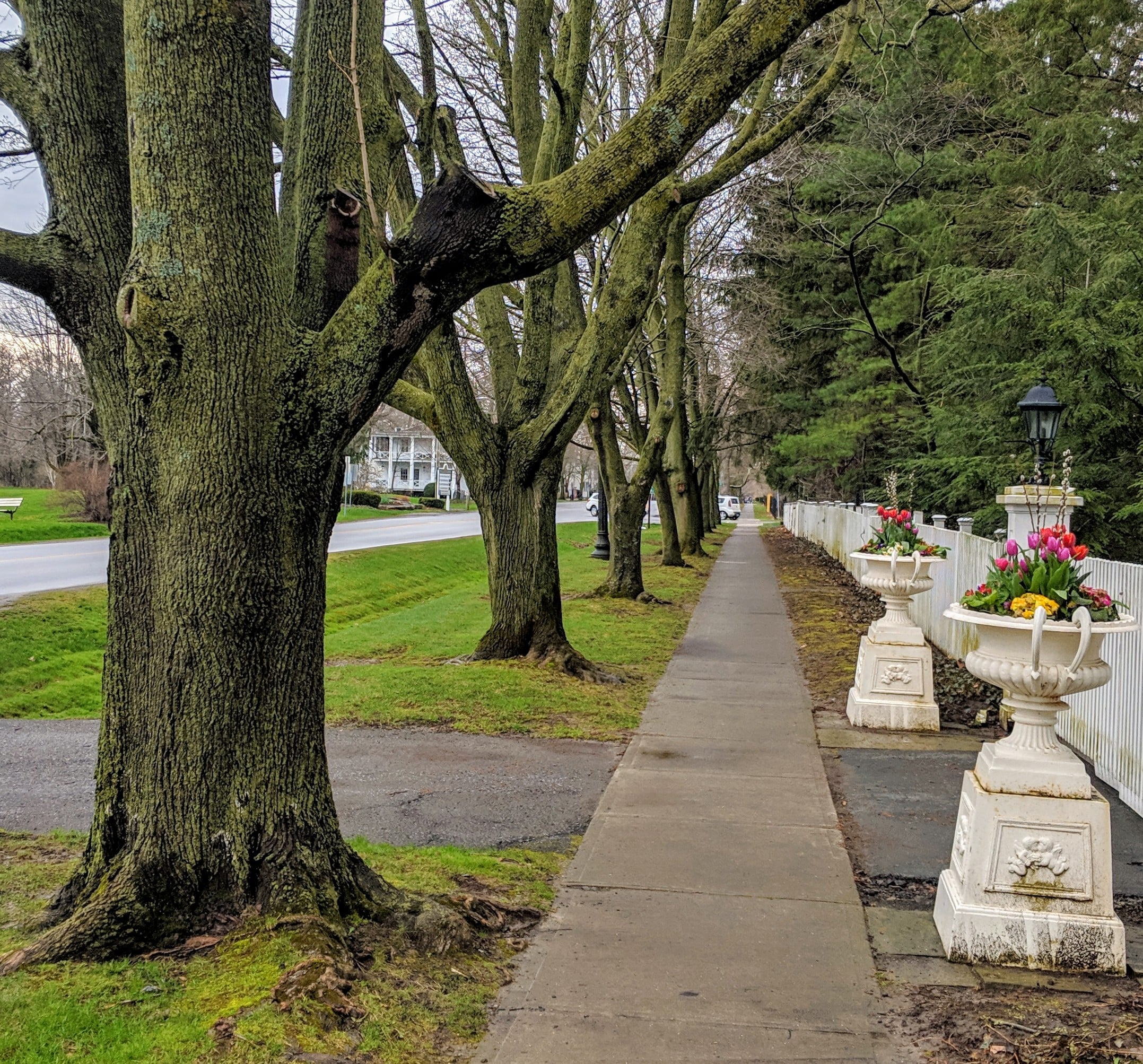
Niagara-on-the-Lake Tour
https://hikesstaging.brucetrail.org/event/niagara-on-the-lake-tour-10/Sorry, the registration cut-off time for this hike has been reached.Not a member? Click here to join today!Hosting Club: Niagara
Location (Google Maps): Park on King St, Centre St near Veteran’s Memorial Park
Hike Leader(s): Margaret Northfield Click here to contact Hike Leader(s)
Pace: Medium
Terrain: Easy
Distance: 6-7kmDescription
Each Friday we will explore different neighbourhoods, trails and parkland throughout Historic Niagara-on-the-Lake.Moderate pace with some weeks entirely on sidewalks and roads while others may include a mix of trails and paved pathways. Great way to build up endurance for longer more strenuous hikes.
Prepare for cooler windy conditions on open parkland and along Lake Ontario and Niagara River trails.
Plan to stay for conversation and a warm cup of coffee or tea at Sweets and Swirls, Community Centre, 14 Anderson Lane, (just off Niagara Stone Rd), NOTL