
Hike Schedule
Join us for a hike! Registration required.
All hikes available to BTC members. Some hikes are open to non-members.
See Refund Policy for Paid Hikes >
TIP: The calendar view displays up to 7 hikes on a day, but often there are more. Click “View more events” to see them all.
Categories
- 24May 24, 2025
Blue Mountains Annual End to End-TWO DAY EVENT.
https://hikesstaging.brucetrail.org/event/blue-mountains-annual-end-to-end-two-day-event/Sorry, the registration cut-off time for this hike has been reached.Not a member? Click here to join today!This is a Multi-Day Hike
You are signing up for the following dates and times:
2025-05-24 at 06:30
2025-05-25 at 06:30Hosting Club: Blue Mountains
Category: End-to-End
Location (Google Maps):Meet/park at Highlands Nordic Duntroon Ontario
Hike Leader(s): Paul Swindall Click here to contact Hike Leader(s)
Pace: Brisk – 4 to 5 km/hr
Terrain: Moderate – Some hills and/or some poor footing
Distance: 69 km -Day 1: 37km Day 2: 32kmDescription
Join us this spring for the Blue Mountains Bruce Trail Club annual End-to-End hike event. This 2 Day Hike is for those hikers keen on a great big challenge You will wind your way through the beautiful and varied terrain of the Blue Mountains Club trails. Enjoy the early signs of nature awakening at this time of the year, the beautiful vistas and the rugged escarpment. You will cover the 69 km distance of our section which runs from Lavender to Swiss Meadows. Checkpoint stations will be offered approximately every 10 kms offering snacks, water refill and assistance along the way. A BBQ at Highlands Nordic is included at the end of Saturday Hike commencing at 2:00 pm. Hike details will be emailed to participants shortly after registration is received. Note, this event consists of longer distances and is generally not suitable for beginning hikers. REGISTRATION FOR NON-MEMBERS WILL OPEN 11 MARCH 2025Blue Mountains THREE DAY End to End - THREE DAY EVENT
https://hikesstaging.brucetrail.org/event/blue-mountains-three-day-end-to-end-three-day-event-2/Sorry, the registration cut-off time for this hike has been reached.Not a member? Click here to join today!This is a Multi-Day Hike
You are signing up for the following dates and times:
2025-05-24 at 07:00
2025-05-25 at 07:00
2025-05-26 at 07:00Hosting Club: Blue Mountains
Category: End-to-End
Location (Google Maps):Day 1 Parking/Meeting location is at Nottawasaga Bluffs Conservation Area. Day 2 & 3 parking will be near Pretty River Valley Provincial Park. Details will follow after registration
Hike Leader(s): Robert Johnston Click here to contact Hike Leader(s)
Pace: Brisk – 4 to 5 km/hr
Terrain: Moderate – Some hills and/or some poor footing
Distance: 67 kmDescription
Join us this spring for the Blue Mountains Bruce Trail Club THREE DAY End-to-End hike event. This 3 Day hike is for those hikers wanting to complete our section over three days. Approximate Daily Hike Lengths: Day 1–22Km, Day 2–20Km, Day 3–25Km. You will wind your way through the beautiful and varied terrain of the Blue Mountains Club trails. Enjoy the early signs of nature awakening at this time of the year, the beautiful vistas and the rugged escarpment. You will cover the 67 km distance of our section which runs from Lavender to Swiss Meadows. Checkpoint stations will be offered approximately every 10 kms with snacks, water refill and assistance. A BBQ is included on the Saturday at the end of the hike day, at Highlands Nordic, and will commence at 2:00 pm. Details will be emailed to participants shortly after registration is received. Note, this event consists of longer distances and is generally not suitable for beginning hikers.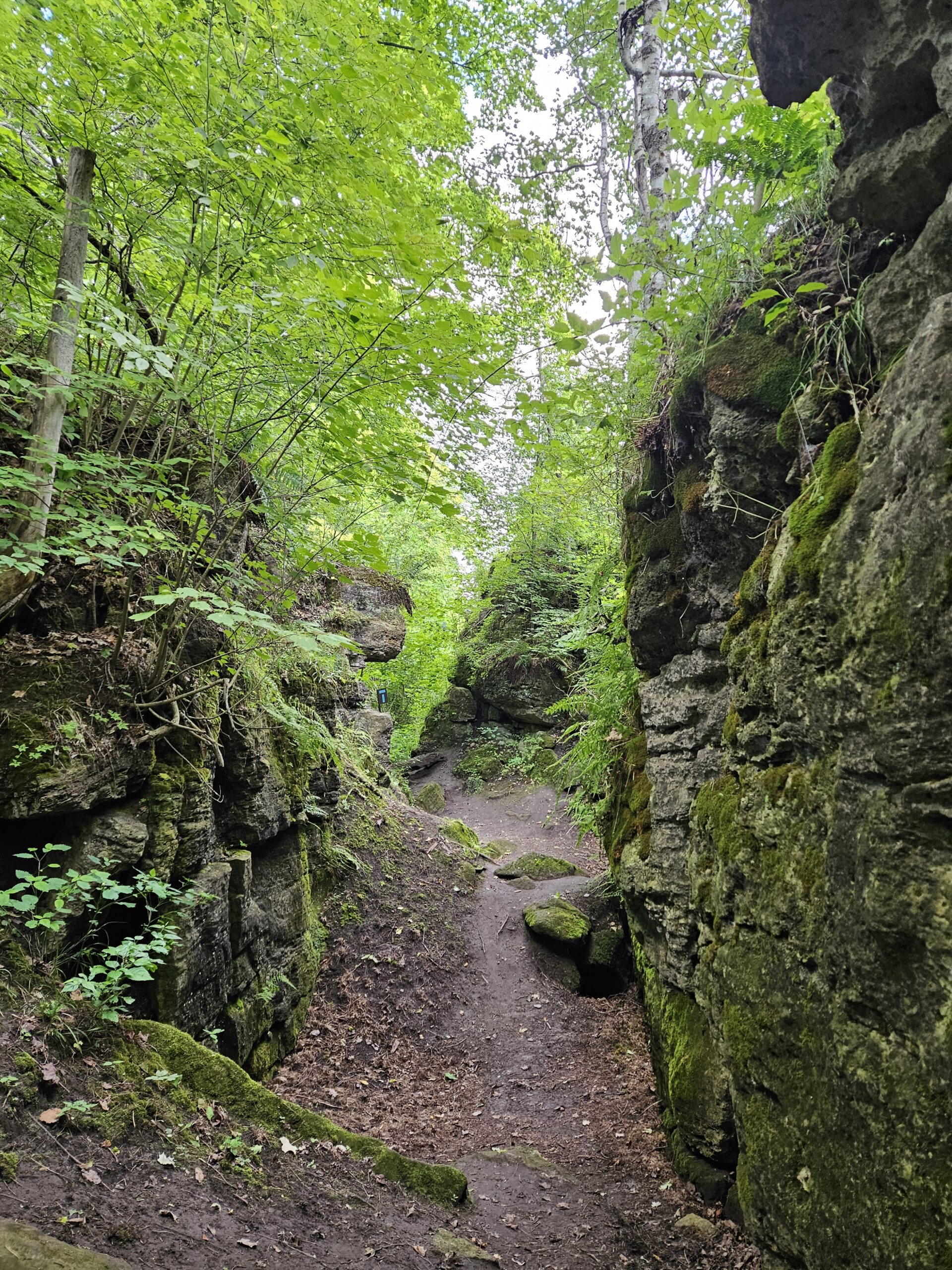
Walk and Talk Rocks: Splitrock Narrows
https://hikesstaging.brucetrail.org/event/walk-and-talk-rocks-splitrock-narrows/Sorry, the registration cut-off time for this hike has been reached.Not a member? Click here to join today!Hosting Club: Caledon Hills
Category: General
Location (Google Maps): Meet at the BTC parking area (20 cars) northeast of km 8.9 in the Dufferin section off of 2nd Line EHS at the beginning of the Splitrock Side Trail. The lot is north of 25 Sideroad. This hike is just north of Mono Cliffs Provincial Park. It is best to aim for arriving around 8:15, so we can start hiking as close to 8:30 am as possible. Thanks!Hike Leader(s): Elizabeth Ganong Click here to contact Hike Leader(s)
Pace: Leisurely – 3 km/hour or less
Terrain: Easy – mostly flat and usually good footing, Moderate – some hills and/or some poor footing
Distance: Approximately 4 kmDescription
Let’s rock it out and explore the geology of Splitrock Narrows. We’ll hike at a leisurely pace over the approximately 4 km route as we look at Splitrock Narrows in a whole new way. Dr. Kathy Wallace will provide an introductory-level look at the geology of the area that welcomes your curiosity. Plan on a total time out less than two hours, a short snack/water break, and having your way of engaging with the trail expanded. You may wish to consider the following in your preparation: hat, sunscreen, insect repellent, poles, water, snack, rain gear. This interactive hike was created for a small group. No dogs please.
School Bus Hike: Niagara E2E #5 of 6
https://hikesstaging.brucetrail.org/event/bus-hike-niagara-e2e-5-of-6/Sorry, the registration cut-off time for this hike has been reached.Not a member? Click here to join today!Trip Information
Departure Time: 08:30
Return to City Time: 18:00
Departure Point: Kipling Departure PointOptional Items
Hosting Club: Toronto
Category: Bus Hike
Location (Google Maps): Niagara Section Kms 59.3 to 72.3Hike Leader(s): Tim Wainwright, Felix Wan Click here to contact Hike Leader(s)
Pace: Moderate (3-4 km/hr)
Terrain: Variable
Distance: 13.0 kmDescription
Join us as we continue to follow the escarpment through the Niagara Section of the Bruce Trail. On today’s walk we’ll pass through meadows and forests, cross over streams, and have some beautiful views over vineyards at Cave Springs, before finishing at Mountainview Conservation Area. There will be a refreshment stop on the way back to Toronto.Dropout point at 9.2 km.
Bring a packed lunch, two litres of water, and sun/rain/bug protection as needed.
Maps 4-5 in the Bruce Trail Guide
The final hike in the Niagara E2E is on June 7
Car Hike: Bethesda Trail Richmond Hill
https://hikesstaging.brucetrail.org/event/car-hike-bethesda-trail-richmond-hill-27/Sorry, the registration cut-off time for this hike has been reached.Not a member? Click here to join today!Hosting Club: Toronto
Category: Car Hike
Location (Google Maps): Free parking lot at the head of trail Bethesda Side Road off Bayview Ave. across Wilcox lakeHike Leader(s): Mohammad Aghamiri Click here to contact Hike Leader(s)
Pace: Moderate (3-4 km/hr)
Terrain: Hilly, Level 2 (Intermediate – some hills and uneven surfaces, rocks and roots underfoot)
Distance: 14-15 kmDescription
Join us to explore the trails of York Regional Forest and the Oak Ridges Corridor at Jefferson Forest and Bond lake,It is Trillium season and we will enjoy viewing Thousands of flowers,
From parking lot we hike thought Jefferson forest and continue to Bond Lake and have snack beside the lake and return to parking around 13 to 13.30
Blue Mountains Stained Glass E2E in 4 (Revised)
https://hikesstaging.brucetrail.org/event/blue-mountains-stained-glass-e2e-in-4-2-weekends/Sorry, the registration cut-off time for this hike has been reached.Not a member? Click here to join today!This is a Multi-Day Hike
You are signing up for the following dates and times:
2025-05-24 at 09:00
2025-05-25 at 09:00
2025-05-31 at 09:00
2025-06-01 at 09:00Hosting Club: Iroquoia, Blue Mountains
Category: Stained Glass Badge End to End Fundraiser Hike
Location (Google Maps):Hike Leader(s): Freddy Wang Click here to contact Hike Leader(s)
Pace: Brisk – 4 to 5 km/hr
Terrain: Slippery and Steep Sections, Strenuous – Hilly with steep climbs and some poor footing
Distance: Varies from 13-22 kmDescription
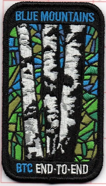
This is a special series of 4 hikes to complete the Blue Mountains section of the Bruce Trail over two weekends. There is an accomplishment badge, included in the registration fee – which was designed by Joe Borges. The fee goes towards supporting the Blue Mountains Bruce Trail Club, which in turn supports the mission of the Bruce Trail Conservancy, which is: “Preserving a ribbon of wilderness, for everyone, forever.”For this E2E in 6, we will be following the main trail southbound starting near Swiss Meadows and finishing in Lavender. Please note that you are signing up for the entire series of four hikes as a Group Hike. This series is geared to experienced hikers with the expectation of a 4.0 to 5.0 km/hr pace maintained over the hike distances below.
Day 1 – 17.8 km – The GPS coordinates for this day are provided.
Day 2 – 13.1 km
Day 3 – 22.4 km
Day 4 – 18.6 km
This hike is intended to be at a Brisk pace and through a very hilly section. Please be honest about your degree of physical fitness prior to registration. It is a group hike so it is important you are able to keep pace with the person in front of you.
Hikers will be expected to wear proper hiking footwear and layered clothing. Sufficient snacks, water (preferably warm), hiking poles, and weather-appropriate gear are recommended. Icers (crampons) may be necessary on certain days.
This series will require car shuttling, so you must be willing to drive and be a passenger.
A maximum of 1 of the 4 hikes can be self-completed as a result of scheduling challenges. You must still complete the distance you have missed. If you miss more than one but still complete the distances on your own, you may apply for the Blue Mountains Club’s regular or Winter End to End badge.
Please note there are no refunds!
Iroquoia BTC Trail Angels Hike
https://hikesstaging.brucetrail.org/event/iroquoia-btc-trail-angels-hike/Sorry, the registration cut-off time for this hike has been reached.Not a member? Click here to join today!Hosting Club: Iroquoia
Category: Special Event
Location (Google Maps): Meet in the parking lot at Cityview Park, at the second entrance on Kerns RdHike Leader(s): Karen Bergmann Click here to contact Hike Leader(s)
Pace: Medium – 3 to 4 km/hr
Terrain: Moderate – Some hills and/or some poor footing
Distance: 8 kmsDescription
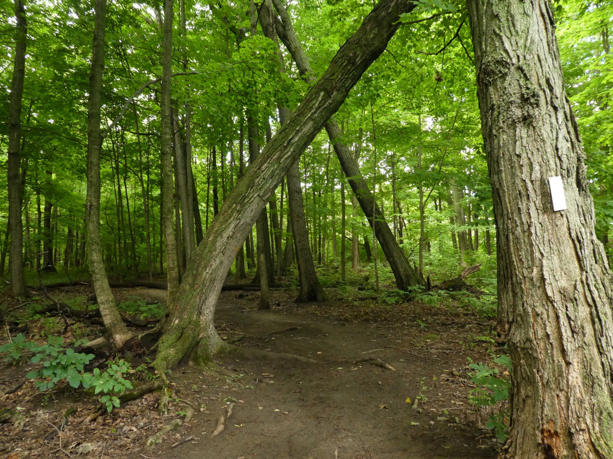
As a big thank you to all the volunteer Trail Angels in the Iroquoia BTC, we would love for you to join us for a hike at Cityview Park. We will offer a short hike (about 5 kms) and a longer hike (8 kms). This is a special event for Trail Angels and anyone interested in being a Trail Angel. We will hike along the main trail and bike trails and for the longer hike, along the McNally Side Trail.Hope to see you there!
Urban Wqalk: Toronto Urban Badge Hike - 4 of 7
https://hikesstaging.brucetrail.org/event/urban-wqalk-toronto-urban-badge-hike-4-of-7/Sorry, the registration cut-off time for this hike has been reached.Not a member? Click here to join today!Hosting Club: Toronto
Category: Urban Walk
Location (Google Maps): Finch Hydro Corridor Trail WestHike Leader(s): Brian Rideout Click here to contact Hike Leader(s)
Pace: Moderate (3-4 km/hr)
Terrain: Flat
Distance: 11.4 kmDescription
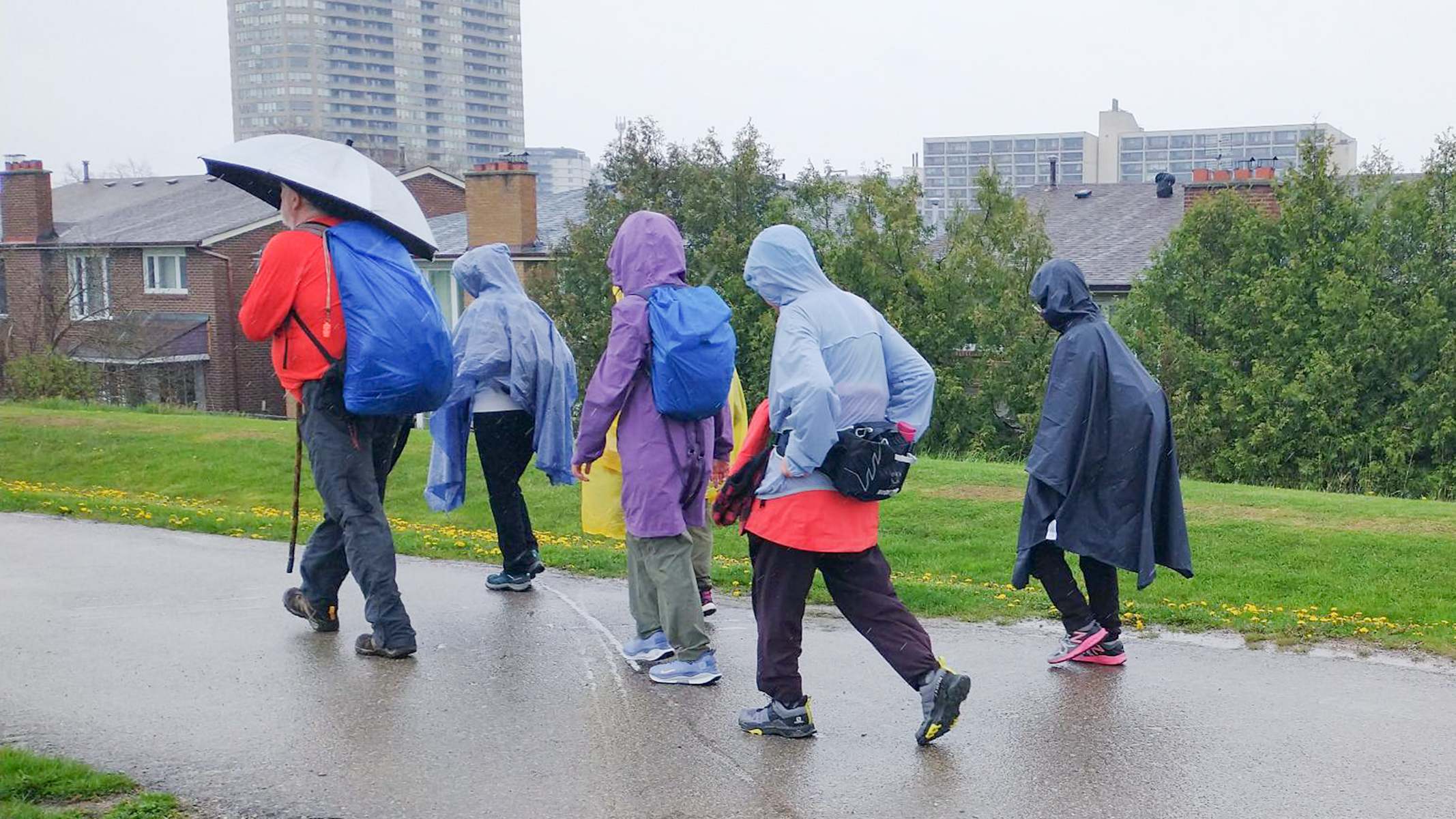
Please join me at the north west corner of Finch and Weston by 10 AM. We will hike east along the Finch Hydro Corridor Trail to Bathurst St (N of Finch) (km 30.2 to km 41.6). Here is an online map with km markings of our route for all 7 hikes for the Toronto Urban Badge: https://onthegomap.com/s/c2c1hf3nPlease make sure you bring at least 2 liters of water, a lunch, bug spray and sunscreen.
10:00am Invasive Species Removal Hike
https://hikesstaging.brucetrail.org/event/1000am-invasive-species-removal-hike-3/Sorry, the registration cut-off time for this hike has been reached.Not a member? Click here to join today!Hosting Club: Niagara
Category: Leisurely
Location (Google Maps): 85 Park Road South, Grimsby, ONHike Leader(s): Michele Altobelli Click here to contact Hike Leader(s)
Pace: Leisurely
Terrain: Moderate
Distance: 4kmDescription
Join us to HELP FILL THE CRIB!!We will hike in from Ridge Road picking invasive plants such as garlic mustard and greater celandine along the way (reusable grocery bags or garbage bags work well). Once at the crib location, we will dump our bags and pick garlic mustard in that area for a while, dump it, then hike back out. Plenty of native spring plants to admire along the way – reducing invasive plants will give these species a chance to thrive!
- you must register and submit a completed waiver for this hike
- Students under 16 MUST be accompanied by a parent/guardian on this hike (please refer to the BTC link https://brucetrailorg.b-cdn.net/wp-content/uploads/2022/06/VOL.05.01_Minors_Volunteering_Policy_-_Approved_February_2016.pdf )
- 16 or more but under 18? Bring a waiver signed by a guardian.
- students wishing to receive community service hours (4Hours) MUST bring service forms from school.
- Please wear clothes for work – long pants tucked into socks, appropriate footwear (no sandals), long sleeves and work gloves
- please bring empty bags for collecting
Blue Mountains Annual End to End-BBQ Only
https://hikesstaging.brucetrail.org/event/blue-mountains-annual-end-to-end-bbq-only/Sorry, the registration cut-off time for this hike has been reached.Not a member? Click here to join today!Hosting Club: Blue Mountains
Category: Organized Hike
Location (Google Maps):Hike Leader(s): Robert Johnston Click here to contact Hike Leader(s)
Pace: Leisurely – 3 km/hr. or less
Terrain: Easy – Mostly flat and usually good footing
Distance: 0Description
We’re firing up the Grill with hot dogs and hamburgers! Blue Mountain Club Members and friends are invited to join in at the E2E BBQ. Come on out to socialize and welcome our hikers in after their first day.Please note if you are registered for either the 2 Day or 3 Day E2E you are already registered for the BBQ. No need to register and pay for this.
There is no badge for this event other than the coveted mustard and ketchup stain!
Registration will be open until Friday, May 23.
BBQ will be held Saturday 24 May 1 pm to 5 pm at Highlands Nordic - 25May 25, 2025
Waterfall Test Hike
https://hikesstaging.brucetrail.org/event/waterfall-test-hike/Sorry, the registration cut-off time for this hike has been reached.Not a member? Click here to join today!Hike open to BTC Members only.
Hosting Club: Iroquoia
Category: City of Waterfalls – Special Event Fundraiser
Location (Google Maps): LocationHike Leader(s): BTC Staff Click here to contact Hike Leader(s)
Pace: Leisurely – 3km/hr or less
Terrain: Strenuous – Hilly with steep climbs and some poor footing
Distance: 12Description
info about hike
Speyside to Canada Goose (E2E)
https://hikesstaging.brucetrail.org/event/speyside-to-canada-goose-e2e/Sorry, the registration cut-off time for this hike has been reached.Not a member? Click here to join today!Hosting Club: Iroquoia
Category: General Hike
Location (Google Maps): Meet in the Bruce Trail parking lot on 22 Side Road at 9:15 am.Hike Leader(s): Karen Bergmann Click here to contact Hike Leader(s)
Pace: Medium – 3 to 4 km/hr
Terrain: Moderate – Some hills and/or some poor footing
Distance: 8 kmsDescription
Meeting at 9:15 am in the Bruce Trail parking lot at the corner of 22 Side Road and 4th Line, we will carpool to 15 Side Road at Speyside and hike back along the main trail. There are some rocky parts to this hike.
Urban Walk: Toronto Urban Badge Hike - 3 of 7
https://hikesstaging.brucetrail.org/event/urban-walk-toronto-urban-badge-hike-3-of-7-2/Sorry, the registration cut-off time for this hike has been reached.Not a member? Click here to join today!Hosting Club: Toronto
Category: Urban Walk
Location (Google Maps): Toronto Waterfront TrailHike Leader(s): Brian Rideout Click here to contact Hike Leader(s)
Pace: Moderate (3-4 km/hr)
Terrain: Flat
Distance: 10.4 kmDescription
Please join me at the south west corner of Lakeshore Blvd West and Ellis by 10 AM. We will hike east along the Waterfront Trail to the Distillery District (km 8.3 to km 71.4). Here is an online map with km markings of our route for all 7 hikes for the Toronto Urban Badge: https://onthegomap.com/s/c2c1hf3nPlease make sure you bring at least 2 liters of water, a lunch, bug spray and sunscreen.
Exploring Sydenham Hike #23
https://hikesstaging.brucetrail.org/event/exploring-sydenham-hike-23/Sorry, the registration cut-off time for this hike has been reached.Not a member? Click here to join today!Hosting Club: Sydenham
Category: General Hike
Location (Google Maps): Meet in the parking lot behind the Grey-Sauble Conservation Authority head office.
237897 Inglis Falls Road, Owen SoundHike Leader(s): Bill Snel Click here to contact Hike Leader(s)
Pace: Leisurely: 3 km/h or less
Terrain: Moderate: Some hills and/or poor footing
Distance: 5.5 kmDescription
We will do a hike of the Creamery Hill loop. This is hike 23 in the book, Exploring Sydenham. There are no secrets to locate. If you do not have a book and would like one ($30) let me know by using the “Contact hike leader” link.
Pre-AGM Corn Hole Tournament
https://hikesstaging.brucetrail.org/event/pre-agm-corn-hole-tournament/Sorry, the registration cut-off time for this hike has been reached.Not a member? Click here to join today!Hike open to BTC Members only.
Hosting Club: Niagara
Category: Register
Location (Google Maps): Queenston Pavilion, Queenston Heights Park, 14184 Niagara Parkway, Niagara on the LakeDescription
Please go to the registration table at the far pavilion when you arrive. If you do not already have a Niagara Parks parking pass, a free day pass will be given to you at the registration table.The corn hole tournament will begin at 2 pm. There will be two people on each team and 4 people per corn hole board. Teams will be assigned. The preliminary games beginning at 2 pm will be 15 minutes long and will end just prior to the AGM meeting. The championship game for the top two teams will be held once the AGM portion of the meeting is complete.
NBTC Annual General Meeting
https://hikesstaging.brucetrail.org/event/nbtc-annual-general-meeting/Sorry, the registration cut-off time for this hike has been reached.Not a member? Click here to join today!Hike open to BTC Members only.
Hosting Club: Niagara
Category: Register
Location (Google Maps): Queenston Pavilion, Queenston Heights Park, 14184 Niagara Parkway, Niagara on the LakeDescription
Come out to meet the Niagara Bruce Trail Club Board as well as other members!Learn what the board has done and what their future plans are. Hear from BTC CEO Michael McDonald what has been happening at the Bruce Trail Conservancy. Make your voice heard.
When you arrive, please register at the registration desk at the pavilion. If you don’t already have a Niagara Parks parking pass, you can pick up a free day pass at the registration desk.
Food, beverages and dessert will be provided. If you are able, please bring a salad to share with others. In order to be environmentally friendly, we are asking everyone to bring their own plate and cutlery.
There will be a corn hole tournament beginning at 2 pm prior to the meeting. The championship game for the tournament will be held just after the meeting. If you are interested in participating, please sign up separately on the hike schedule.
- 26May 26, 2025
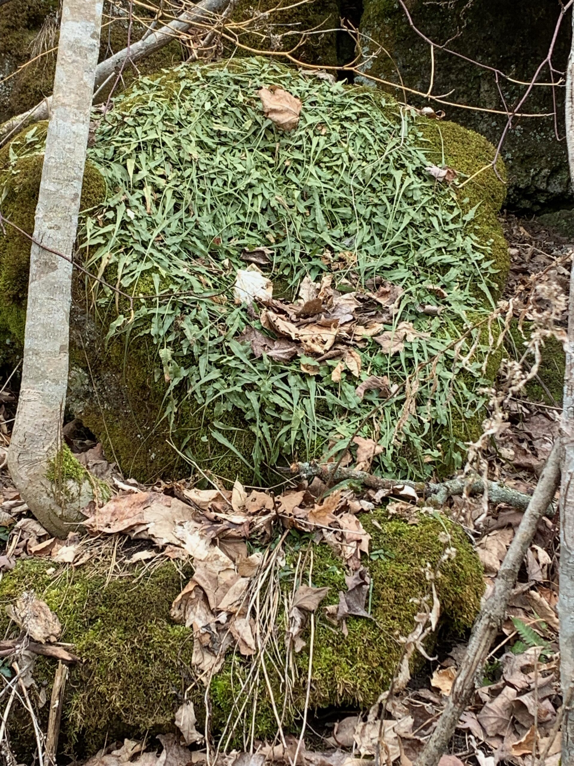
Wildflower Search
https://hikesstaging.brucetrail.org/event/wildflower-search-2/Sorry, the registration cut-off time for this hike has been reached.Not a member? Click here to join today!Hosting Club: Iroquoia
Category: Wildflowers and Spring Ephemerals
Location (Google Maps): Hilton Falls Conservation Area, Campbellville Rd. between Highway 25 and Guelph LineHike Leader(s): Anne Armstrong Click here to contact Hike Leader(s)
Pace: Leisurely – 3km/hr or less
Terrain: Moderate – Some hills and/or some poor footing
Distance: Approx. 9 – 10 km.Description
We continue our search for wildflowers in this area, rich in natural beauty, water management and some interesting history. We will use park walking trails as well as some biking trails . Expect some rocky areas. Meet in the. main parking lot at 9:45 am. for a 10:00 am. start. Bring water, sunscreen, a snack and poles is using. You will need to make a reservation with Halton Conservation Area Parks to enter the area.
Leader: Anne ArmstrongDuncan Crevice Caves Provincial Nature Reserve
https://hikesstaging.brucetrail.org/event/duncan-crevice-caves-provincial-nature-reserve/Sorry, the registration cut-off time for this hike has been reached.Not a member? Click here to join today!Hike open to BTC Members only.
Hosting Club: Sydenham
Category: General Hike
Location (Google Maps): Map 25 at 33.3 at the parking for Duncan caves, Beaver Valley section. If you can carpool with a friend that would be great. If you would like to carpool with me, we can arrange through email a location where I can pick you up.Hike Leader(s): Cindy Paczkowski Click here to contact Hike Leader(s)
Pace: Leisurely: 3 km/h or less
Terrain: Strenuous: Hilly with steep climbs and some poor footing., There might be muddy sections., There might be sections with water on the trail.
Distance: 10 kmDescription
Some interesting and challenging terrain. Lots of flora and amazing geological formations including caves and crevices. There can be some wet sections. Wear sturdy footwear and poles are recommended. Be prepared for biting insects this time of year and please wear long pants or at least long socks to protect from ticks and poison ivy. Also bring water and a snack to enjoy. An email will be sent by 8 am of hike day should there be any cancellation due to inclement weather. - 27May 27, 2025
8:00 Long Hike Wiley Road Short Hills (NEW TIME)
https://hikesstaging.brucetrail.org/event/800-long-hike-wiley-road-short-hills-new-time-4/Sorry, the registration cut-off time for this hike has been reached.Not a member? Click here to join today!Hosting Club: Niagara
Location (Google Maps):
Short Hills Wiley Road Entrance
Pace: Medium
Terrain: Moderate
: 10kmDescription
Explore Short Hills and the majestic side trails of Scarlett Tanager, Hemlock. Swayze Falls and Terrace. Register for each hikeBring Poles, Sun Screen Bug Spray, snack, and dress for the weather
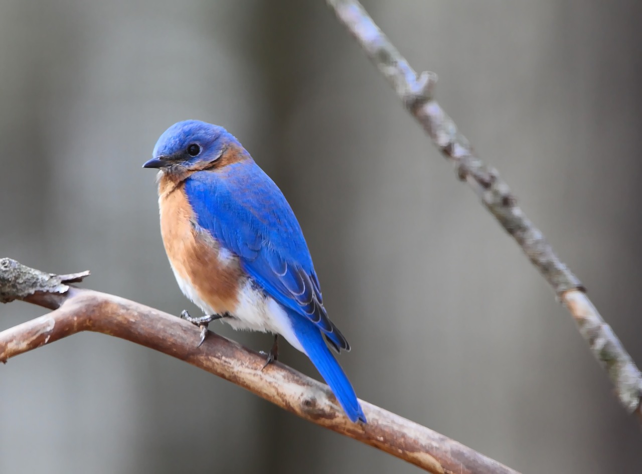
Spring Birding: Wetlands, Meadow and Forest Hike
https://hikesstaging.brucetrail.org/event/spring-birding-wetlands-meadow-and-forest-hike/Sorry, the registration cut-off time for this hike has been reached.Not a member? Click here to join today!Hosting Club: Peninsula
Category: Birding
Location (Google Maps): Meet at the corner of Crooked Toe Road and Boundary Road. Please carpool, if possible.Hike Leader(s): Marg Glendon & Miptoon Click here to contact Hike Leader(s)
Pace: Leisurely (2.0 – 3.0 km/h): A relaxed pace with frequent breaks and a focus on enjoyment.
Terrain: Easy: Flat forested sections or lowland trails., Moderate: Rolling hills, mild slopes and rocky paths.
Distance: ~3 kmDescription
Join us for a guided birding hike on the Saugeen Peninsula. Miptoon, a respected Knowledge Holder and local birding enthusiast from Neyaashiinigmiing will share his joy and knowledge of birds throughout our hike. As migrating birds return for the spring and summer, we’ll explore diverse habitats—including wetlands, forests, and meadows—offering a chance to observe a variety of bird species. Bring binoculars, a light backpack with essentials (snacks, water, and ID resources), and dress appropriately with long-sleeved clothing, a hat, and waterproof hiking boots. Be prepared for possible wet terrain. Hiking poles, gaiters, bug net hat and insect repellent are optional. This hike will be ~2 hours in duration. Participants are welcome to linger longer, if they wish. Raindate – May 28th.Dufferin Hi-Land 60th Anniversary Highlight Hikes, Hike 6: Rock Hill, Moss Haven Side Trails
https://hikesstaging.brucetrail.org/event/dufferin-hi-land-60th-anniversary-highlight-hikes-hike-6-rock-hill-moss-haven-side-trails/Sorry, the registration cut-off time for this hike has been reached.Not a member? Click here to join today!Hosting Club: Dufferin Hi-Land
Category: Tuesday Hike
Location (Google Maps):Dufferin Hi-Land, Map 20. Meet at Rock Hill parking lot on 1st Line Mulmur, just south of 10 Sideroad (Km 28.3).
Hike Leader(s): Les Babbage, Inge Eckerich, Julie Daley, Tony Evangelista Click here to contact Hike Leader(s)
Pace: Leisurely, Medium
Terrain: Moderate
Distance: 5.5 km; Short Hike: 3.5 kmDescription
Our celebration of Dufferin Hi-Land BTC’s 60th Anniversary continues with another highlight of the section. Hike 60 km in Dufferin during 2025 and you qualify for the 60th Anniversary badge.Today’s hike includes two loops. The Main Trail/Moss Haven Side Trail loop takes us into the Boyne Valley and back beside a scenic stream that tumbles down to Oliver Creek. The second loop consisting of Main Trail and Rock Hill Park Side Trail takes us over and beside a stunning collection of crevices. The short hike will end after the first loop. Bring water, snacks.
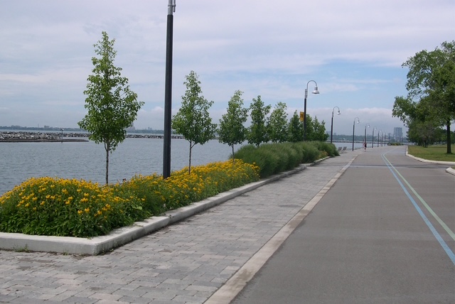
Urban Walk: High Park and Toronto Waterfront Trail
https://hikesstaging.brucetrail.org/event/urban-walk-high-park-and-toronto-waterfront-trail-3/Sorry, the registration cut-off time for this hike has been reached.Not a member? Click here to join today!Hosting Club: Toronto
Location (Google Maps):
High Park Subway Station Street Level (East Exit – High Park Avenue (by the bus loop)
Hike Leader(s): Miriam Stevens Click here to contact Hike Leader(s)
Pace: Leisurely (2-3 km/hr)
Terrain: Flat, Level 1 (Easy – mostly on flat, well maintained trails with hard-packed surface)
Distance: 10 KMDescription
Join us for a leisurely hike through High Park and then east along Toronto’s Waterfront Trail to Harbourfront Centre passing though many small parks including the Music Garden. Refreshments at a coffee shop on Queens Quay at Harbourfront. Bring lunch and drinking water. Dropout any time. We’ll arrive at Harbourfront Centre around 2:00 PM. This will be repeated Tuesday May 13th, Tuesday May 27th, Tuesday June 3rd, and Tuesday June 24th. No pre registration is required. Just show up 15-20 minutes before to departure time to sign in with the hike leader.
Afternoon Hike - Crawford Lake
https://hikesstaging.brucetrail.org/event/afternoon-hike-twiss-road/Sorry, the registration cut-off time for this hike has been reached.Not a member? Click here to join today!Hosting Club: Iroquoia
Category: Afternoon/Evening Hikes
Location (Google Maps): Meet in the first parking lot at 4:15 pmHike Leader(s): Karen Bergmann Click here to contact Hike Leader(s)
Pace: Medium – 3 to 4 km/hr
Terrain: Moderate – Some hills and/or some poor footing
Distance: 6 kmsDescription
We will hike around the park loop and perhaps the boardwalk.