
Hike Schedule
Join us for a hike! Registration required:
All hikes available to BTC members. Some hikes are open to non-members.
TIP: The calendar view displays up to 7 hikes on a day, but often there are more. Click “More events” to see them all.
Categories
- 21May 21, 2025
The Ups and Downs of Beaver Valley
https://hikesstaging.brucetrail.org/event/the-ups-and-downs-of-beaver-valley/Sorry, the registration cut-off time for this hike has been reached.Not a member? Click here to join today!Hosting Club: Sydenham
Category: General Hike
Location (Google Maps): If you are coming from Owen Sound, meet at the Parking lot on the south side of Grey Road 18, just east of Highway 6, where the rail trail crosses the road, at 08:15. We will car pool to the hike start from here. For those coming from different directions, meet at the Bruce Trail parking on Graham’s Hill Road (Concession Rd 12), just east of Vandeleur on Grey Road 32 at 08:45. The municipal address of the parking / hike start is 466066 Concession Road 12, Grey Highlands. We will start hiking promptly at 9 am.Hike Leader(s): Fran Turner Click here to contact Hike Leader(s)
Pace: Medium: 3 to 4 km/h
Terrain: Strenuous: Hilly with steep climbs and some poor footing.
Distance: 13 kmDescription
This hike is for hardy hikers who enjoy the ups and downs of escarpment hiking. We will ascend and descend the escarpment slope several times. We begin with Graham’s Hill Road (down and up!) and then proceed north along the East side of the valley, then traverse the valley via the Crossover Side Trail and return south on the West side of the valley. Bring a lunch, plenty of water and something to sit upon.WEDNESDAY WALKERS - South of Loree
https://hikesstaging.brucetrail.org/event/wednesday-walkers-south-of-loree-2/Sorry, the registration cut-off time for this hike has been reached.Not a member? Click here to join today!Hosting Club: Beaver Valley
Location (Google Maps): Meet at the corner of Sideroad 21 and the 4th Line. By the entrance of the Intercept Side Trail, km 2.3 The Bruce Trail Reference, Edition 31
Hike Leader(s): Margaret Yaraskavitch Click here to contact the hike leader.
Pace: Medium
Terrain: Moderate
Length of Hike: 7 kmDescription
This hike is in the Loree area. We’ll walk a step creekside section to reach the lookout over Nottawasaga Bay. From there, we’ll head out of Sideroad 21 to an area with a beautiful glowing stream. After crossing Sideroad 21 again, we’ll enter the Len Gentler Memorial Forest but we’ll only use the Len Gentler Side Trail to make our way back to our trailhead. A little bit of road walking finishes our hike.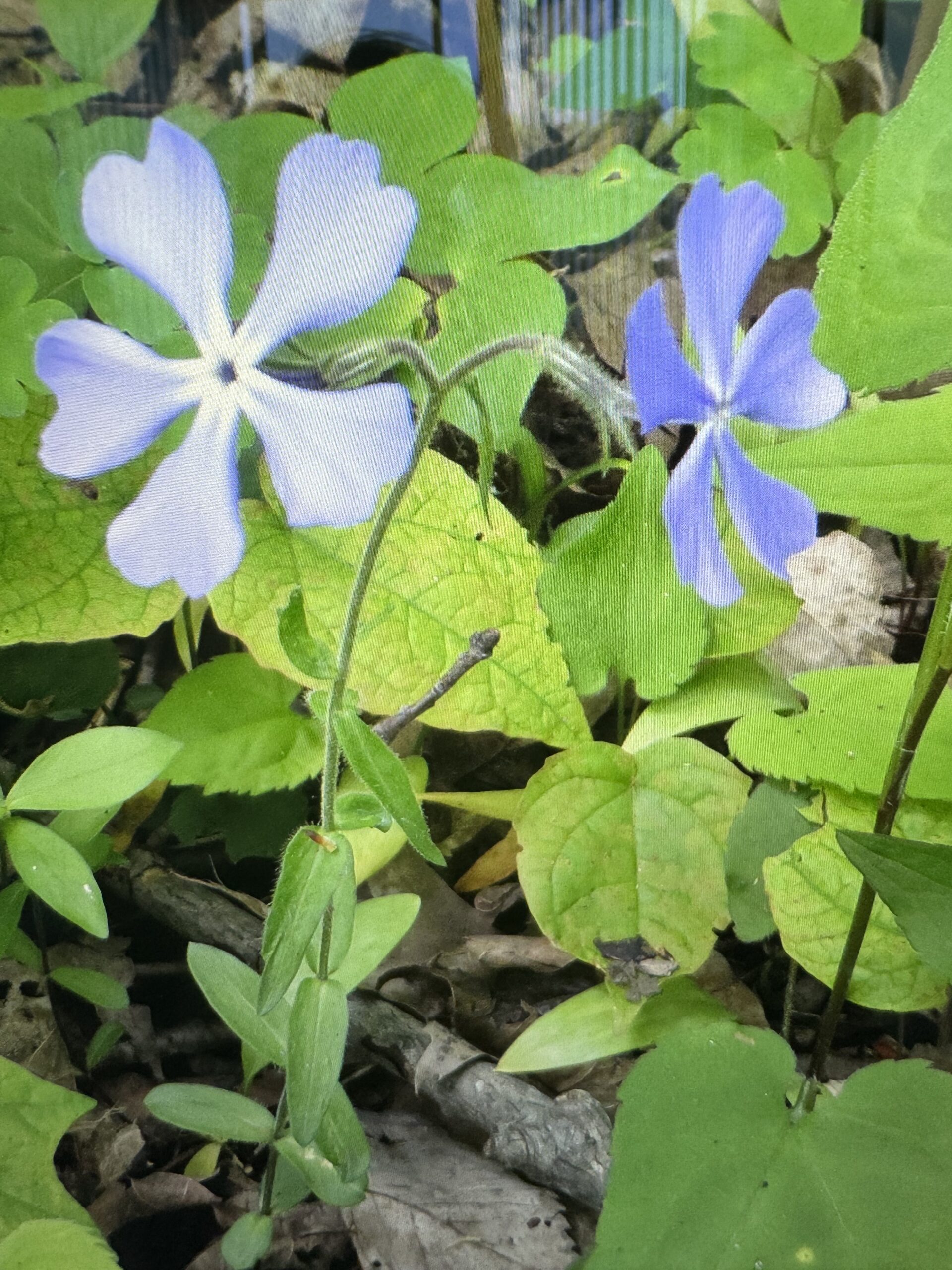
Searching for Wildflowers
https://hikesstaging.brucetrail.org/event/searching-for-wildflowers/Sorry, the registration cut-off time for this hike has been reached.Not a member? Click here to join today!Hosting Club: Iroquoia
Category: Good Companions
Location (Google Maps): Hilton Falls conservation Area Campbellville Rd. between Guelph Line and Highway 25, north of the 401Hike Leader(s): Anne Armstrong Click here to contact Hike Leader(s)
Pace: Leisurely – 3km/hr or less
Terrain: Easy – Mostly flat and usually good footing, Moderate – Some hills and/or some poor footing
Distance: Approx. 11 km.Description
This is a great area for searching for wildflowers. We will hike the many trails, especially the Beaver Meadow where the flowers grow in amongst the rocks and along the sides of the trails. Lots of ferns also grow. Meet in the main parking lot at 9:45 am. for a 10:00 am. start. Bring water, sunscreen, insect repellent and poles if using. You will need to make a reservation with Halton Conservation Authority Parks for entry.
Leader” Anne Armstrong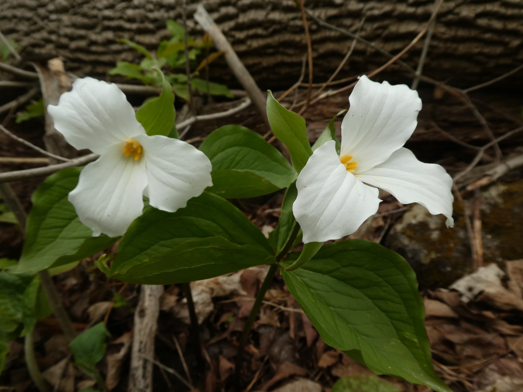
Afternoon hike - Halton Agreement Forest
https://hikesstaging.brucetrail.org/event/afternoon-hike-halton-agreement-forest-6/Sorry, the registration cut-off time for this hike has been reached.Not a member? Click here to join today!Hosting Club: Iroquoia
Category: Afternoon/Evening Hikes
Location (Google Maps): Meet roadside on 4th Line. Up Guelph Line from the 401, turn right on 10 Side Road and follow the curve as it becomes 4th Line.Hike Leader(s): Karen Bergmann Click here to contact Hike Leader(s)
Pace: Medium – 3 to 4 km/hr
Terrain: Moderate – Some hills and/or some poor footing
Distance: 6 kmsDescription
We will hike around the bike trails in this lovely Forest. Expect to see lots of Trillium and other wildflowers. - 22May 22, 2025
8:00 am Long Hike Glen Road Jordan NEW TIME
https://hikesstaging.brucetrail.org/event/800-am-long-hike-glen-road-jordan-new-time-4/Sorry, the registration cut-off time for this hike has been reached.Not a member? Click here to join today!Hosting Club: Niagara
Location (Google Maps):
Glen Road Jordan
Pace: Medium
Terrain: Moderate
: 10kDescription
This will be our permanent Thursday Location until Bridge repairs complete. From Glen Road explore the trail network on the escarpment towards Balls Falls and Moyer Road.You must register for each hike. Bring Poles, snack bug spray, sunscreen and a drink. Dress for the weather
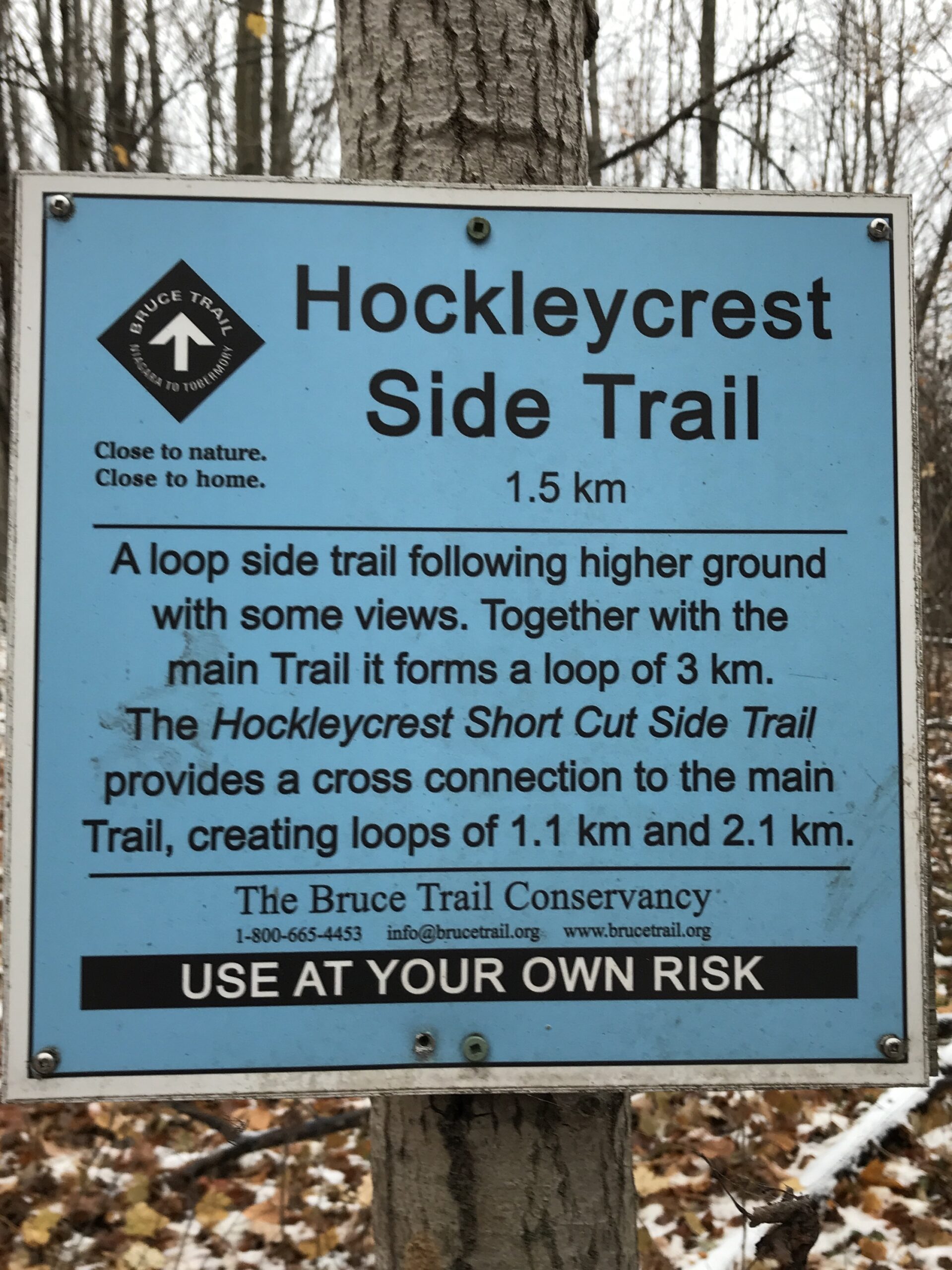
Hockley Crest Loop Hike
https://hikesstaging.brucetrail.org/event/hockley-crest-loop-hike/Sorry, the registration cut-off time for this hike has been reached.Not a member? Click here to join today!Hosting Club: Iroquoia
Category: General Hike
Location (Google Maps): Parking Lot on Mono 5 Sideroad, on the north side where the Trail crosses.Hike Leader(s): Pati Greenwood, Jeff Dowsett Click here to contact Hike Leader(s)
Pace: Medium – 3 to 4 km/hr
Terrain: Strenuous – Hilly with steep climbs and some poor footing
Distance: 14 KMDescription
We will follow the main BT and take in several side trails to make a 14 KM hike with several loops. There will be a few steep climbs. Bring plenty of water and a snack. Please arrive by 8:15 am as we will leave promptly at 8:30 am.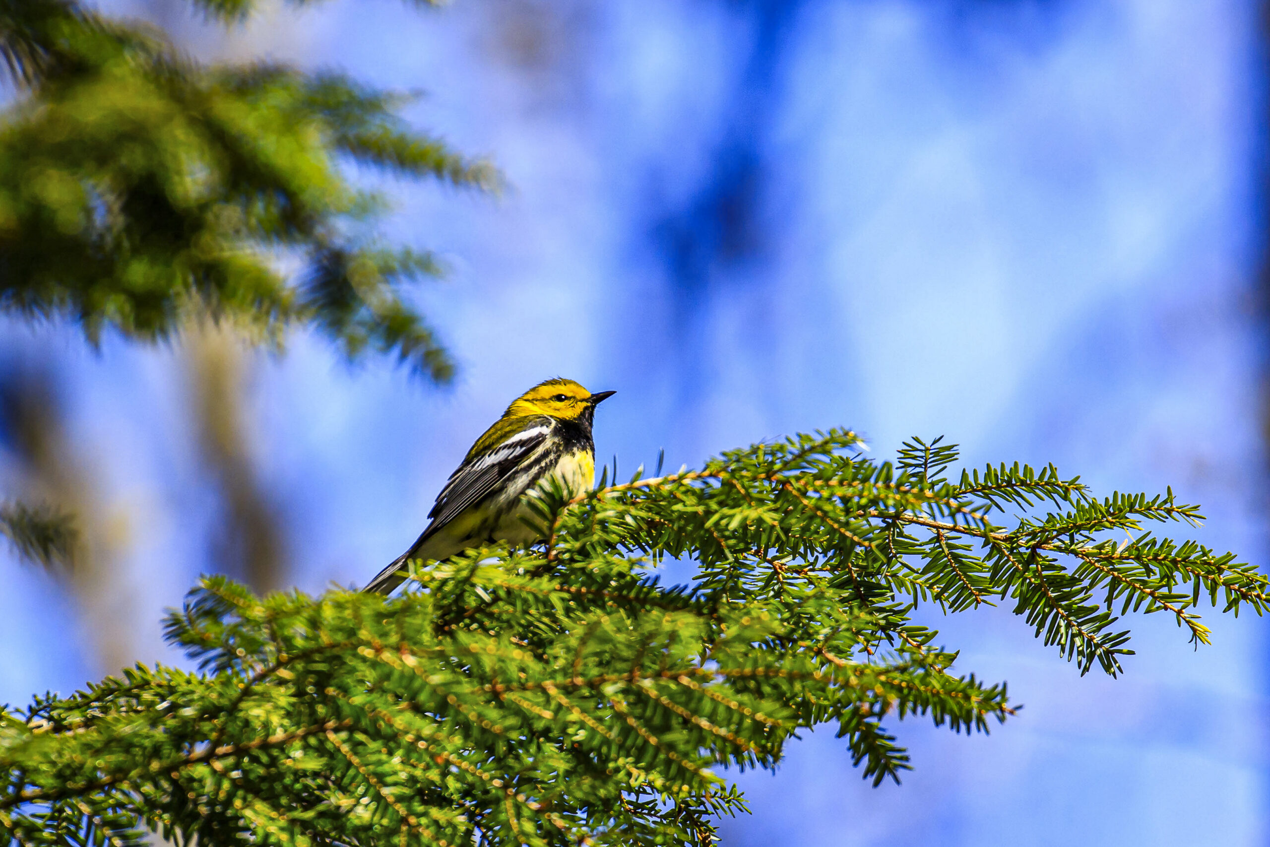
Birds of Hemlock Ridges
https://hikesstaging.brucetrail.org/event/birds-of-hemlock-ridges/Sorry, the registration cut-off time for this hike has been reached.Not a member? Click here to join today!Hosting Club: Caledon Hills
Category: Nature Walks
Location (Google Maps): Hemlock Ridges – Hockley Road and 5th Line EHS Mono. Parking lot on east side of 5th line south of Hockley RoadHike Leader(s): Gary Hall Click here to contact Hike Leader(s)
Pace: Leisurely – 3 km/hour or less
Terrain: Moderate – some hills and/or some poor footing
Distance: 3 – 4 kmDescription
This Nature Walk will take place on the BTC’s beautiful Hemlock Ridges property. This is a good time of year to observe migrating birds before the leaves come out. We’ll stop regularly to listen to birds and admire spring flowers. Bring binoculars, camera and cell phone. Cell phone apps like Merlin, Seek and iNaturalist can help in identification of flora and fauna along the route.Hiking Around Cave springs. NEW LOCATION
https://hikesstaging.brucetrail.org/event/hiking-around-cave-springs-new-location-9/Sorry, the registration cut-off time for this hike has been reached.Not a member? Click here to join today!Hosting Club: Niagara
Location (Google Maps):
Cave Springs Conservation Area)
Hike Leader(s): Bill Russell Click here to contact Hike Leader(s)
Pace: Medium
Terrain: Moderate
Distance: 6kDescription
Hiking in and around Cave Springs
GeoHike Series #3: Mono Cliffs Provincial Park
https://hikesstaging.brucetrail.org/event/geohike-series-3-mono-cliffs-provincial-park/Sorry, the registration cut-off time for this hike has been reached.Not a member? Click here to join today!Hosting Club: Dufferin Hi-Land
Category: General Hike
Location (Google Maps): Meet at Mono Centre Community Centre to hike in the Mono Cliffs Provincial ParkHike Leader(s): Lynda Bloom: Margery Cruise Click here to contact Hike Leader(s)
Pace: Medium
Terrain: Moderate
Distance: 7 kmDescription
Why are there cliffs in the park? Are there any fossils? This leisurely hike will make many stops to look at rocks and talk about the landscape of the area. Don’t forget to bring your camera.We will use several side trails, mostly the Walter Tovell and South Outlier Trails, to visit the north and south Outlier exposures.
Please wear sturdy footwear as there are hills and stairs. Pack water, snacks and dress for the weather.
Afternoon Hike
https://hikesstaging.brucetrail.org/event/afternoon-hike/Sorry, the registration cut-off time for this hike has been reached.Not a member? Click here to join today!Hosting Club: Iroquoia
Category: Afternoon/Evening Hikes
Location (Google Maps): The location of the hikeHike Leader(s): BTC Staff Click here to contact Hike Leader(s)
Pace: Medium – 3 to 4 km/hr
Terrain: Strenuous – Hilly with steep climbs and some poor footing
Distance: 20Description
Information about the hike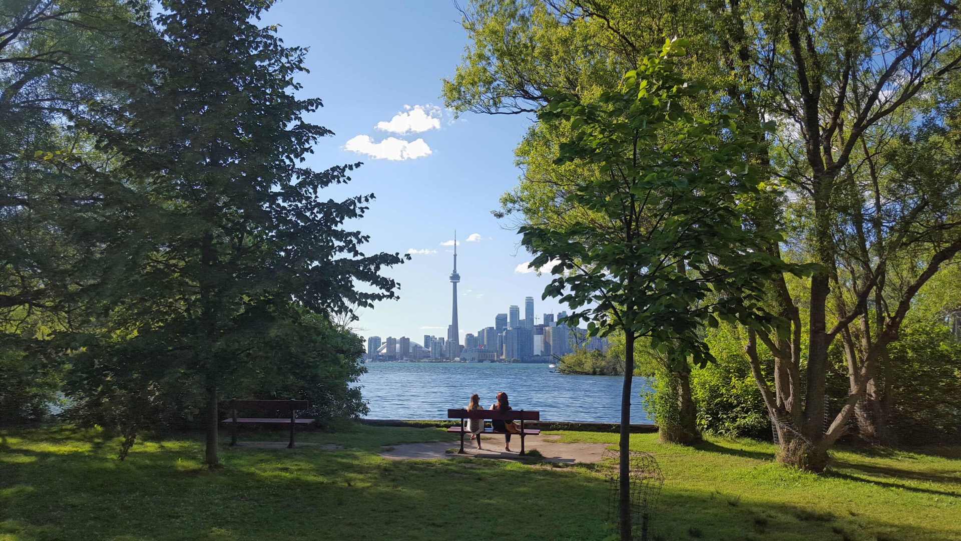
Urban Walk: Toronto Islands Evening Walk
https://hikesstaging.brucetrail.org/event/urban-walk-toronto-islands-evening-walk-14/Sorry, the registration cut-off time for this hike has been reached.Not a member? Click here to join today!Hosting Club: Toronto
Location (Google Maps):
Jack Layton Ferry Terminal, near the gates to Wards Island Ferry. Arrive 20 minutes prior to departure to check in with hike leader.
From Union Station take the LRT and get off at the stop Ferry Docks.Walk up to the Ferry Docks on Queens Quay West, street level. at the foot of Bay Street.
Hike Leader(s): Miriam Stevens Click here to contact Hike Leader(s)
Pace: Leisurely (2-3 km/hr)
Terrain: Flat
Distance: 6-9 kmDescription
After a day’s work come and “cool off” on the Toronto Islands free of fumes and traffic. Enjoy the view of the city skyline and Toronto’s beautiful island parkland.
Pack a dinner for a sit down picnic. Food is not available for purchase on the Islands early in the season. Also bring a warm jacket and flashlight.
Return fare ticket for the ferry is $9.11 adults and $5.86 seniors.
Hikes will take place rain or shine.
Toronto Island evening hikes will take place every Thursday in May and June 2025.
Same time and same meeting place. No preregistration is required – just show up at the ferry docks at 5:40 PM and sign in with the hike leader. - 23May 23, 2025
Niagara-on-the-Lake Tour
https://hikesstaging.brucetrail.org/event/niagara-on-the-lake-tour-9/Sorry, the registration cut-off time for this hike has been reached.Not a member? Click here to join today!Hosting Club: Niagara
Location (Google Maps): Park on King St, Centre St near Veteran’s Memorial Park
Hike Leader(s): Margaret Northfield Click here to contact Hike Leader(s)
Pace: Medium
Terrain: Easy
Distance: 6-7kmDescription
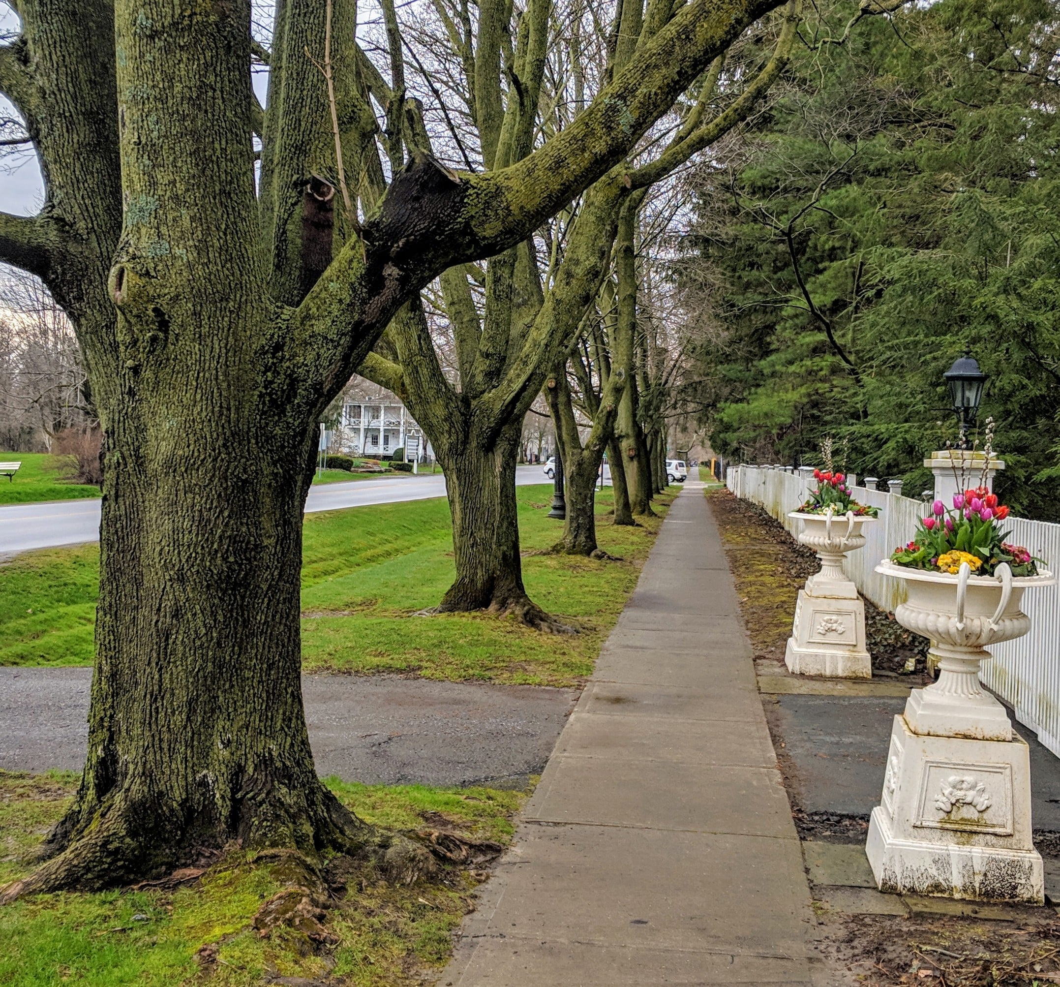
Each Friday we will explore different neighbourhoods, trails and parkland throughout Historic Niagara-on-the-Lake.Moderate pace with some weeks entirely on sidewalks and roads while others may include a mix of trails and paved pathways. Great way to build up endurance for longer more strenuous hikes.
Prepare for cooler windy conditions on open parkland and along Lake Ontario and Niagara River trails.
Plan to stay for conversation and a warm cup of coffee or tea at Sweets and Swirls, Community Centre, 14 Anderson Lane, (just off Niagara Stone Rd), NOTL
Hike #4 Dufferin Hi-Land 60th Anniversary Side Trail Highlights
https://hikesstaging.brucetrail.org/event/hike-4-dufferin-hi-land-60th-anniversary-side-trail-highlights/Sorry, the registration cut-off time for this hike has been reached.Not a member? Click here to join today!Hosting Club: Dufferin Hi-Land
Category: General Hike
Location (Google Maps): Park at roadside parking on north side of bridge over Boyne River on Prince of Wales Rd (Dufferin Rd 19) 1.2 km north of Hwy 89.Hike Leader(s): su Bate, Helen Bailey Click here to contact Hike Leader(s)
Terrain: Moderate
Distance: 12 kmsDescription
This is the rescheduled 4th (cancelled due to the ice storm) in a series of 6 loop hikes; each hike is between 9-12km in length. If you hike all 6 of the hikes in this series, or otherwise hike 60 km in Dufferin during 2025, you qualify for the 60th Anniversary badge.Bring a drink and a snack. The trail can be slippery, muddy at this time of the year. Dress for the weather! We will follow Prince of Wales Side Trail north to Primrose Loop Side Trail. taking the left fork and following Primrose Loop to intersection with Bruce Main Trail at km 16.7. We will take the Main Trail north, including a side trip up the Murphy’s Pinnacle Side Trail, then east to Boyne Valley Side Trail (km 18.8). Follow Boyne Valley east to 1st Line, south then west to Bruce Main Trail at km 15.2. Follow Main Trail north to km 16.7, then Primrose Loop, taking left fork where the loop begins, returning to parking via Prince of Wales Side Trail.
Kelso Summit (reservation required)
https://hikesstaging.brucetrail.org/event/kelso-summit-reservation-required/Sorry, the registration cut-off time for this hike has been reached.Not a member? Click here to join today!Hosting Club: Iroquoia
Category: General Hike
Location (Google Maps): Kelso Summit parking lot at 9:15 am (reservation required)Hike Leader(s): Karen Bergmann Click here to contact Hike Leader(s)
Pace: Medium – 3 to 4 km/hr
Terrain: Moderate – Some hills and/or some poor footing
Distance: 8 kmsDescription
We will explore the trails for a large loop. Reserve your time at conservationhalton.ca for KELSO SUMMIT. - 24May 24, 2025
Blue Mountains Annual End to End-TWO DAY EVENT.
https://hikesstaging.brucetrail.org/event/blue-mountains-annual-end-to-end-two-day-event/Sorry, the registration cut-off time for this hike has been reached.Not a member? Click here to join today!This is a Multi-Day Hike
You are signing up for the following dates and times:
2025-05-24 at 06:30
2025-05-25 at 06:30Hosting Club: Blue Mountains
Category: End-to-End
Location (Google Maps):Meet/park at Highlands Nordic Duntroon Ontario
Hike Leader(s): Paul Swindall Click here to contact Hike Leader(s)
Pace: Brisk – 4 to 5 km/hr
Terrain: Moderate – Some hills and/or some poor footing
Distance: 69 km -Day 1: 37km Day 2: 32kmDescription
Join us this spring for the Blue Mountains Bruce Trail Club annual End-to-End hike event. This 2 Day Hike is for those hikers keen on a great big challenge You will wind your way through the beautiful and varied terrain of the Blue Mountains Club trails. Enjoy the early signs of nature awakening at this time of the year, the beautiful vistas and the rugged escarpment. You will cover the 69 km distance of our section which runs from Lavender to Swiss Meadows. Checkpoint stations will be offered approximately every 10 kms offering snacks, water refill and assistance along the way. A BBQ at Highlands Nordic is included at the end of Saturday Hike commencing at 2:00 pm. Hike details will be emailed to participants shortly after registration is received. Note, this event consists of longer distances and is generally not suitable for beginning hikers. REGISTRATION FOR NON-MEMBERS WILL OPEN 11 MARCH 2025Blue Mountains THREE DAY End to End - THREE DAY EVENT
https://hikesstaging.brucetrail.org/event/blue-mountains-three-day-end-to-end-three-day-event-2/Sorry, the registration cut-off time for this hike has been reached.Not a member? Click here to join today!This is a Multi-Day Hike
You are signing up for the following dates and times:
2025-05-24 at 07:00
2025-05-25 at 07:00
2025-05-26 at 07:00Hosting Club: Blue Mountains
Category: End-to-End
Location (Google Maps):Day 1 Parking/Meeting location is at Nottawasaga Bluffs Conservation Area. Day 2 & 3 parking will be near Pretty River Valley Provincial Park. Details will follow after registration
Hike Leader(s): Robert Johnston Click here to contact Hike Leader(s)
Pace: Brisk – 4 to 5 km/hr
Terrain: Moderate – Some hills and/or some poor footing
Distance: 67 kmDescription
Join us this spring for the Blue Mountains Bruce Trail Club THREE DAY End-to-End hike event. This 3 Day hike is for those hikers wanting to complete our section over three days. Approximate Daily Hike Lengths: Day 1–22Km, Day 2–20Km, Day 3–25Km. You will wind your way through the beautiful and varied terrain of the Blue Mountains Club trails. Enjoy the early signs of nature awakening at this time of the year, the beautiful vistas and the rugged escarpment. You will cover the 67 km distance of our section which runs from Lavender to Swiss Meadows. Checkpoint stations will be offered approximately every 10 kms with snacks, water refill and assistance. A BBQ is included on the Saturday at the end of the hike day, at Highlands Nordic, and will commence at 2:00 pm. Details will be emailed to participants shortly after registration is received. Note, this event consists of longer distances and is generally not suitable for beginning hikers.Car Hike: Bethesda Trail Richmond Hill
https://hikesstaging.brucetrail.org/event/car-hike-bethesda-trail-richmond-hill-27/Sorry, the registration cut-off time for this hike has been reached.Not a member? Click here to join today!Hosting Club: Toronto
Category: Car Hike
Location (Google Maps): Free parking lot at the head of trail Bethesda Side Road off Bayview Ave. across Wilcox lakeHike Leader(s): Mohammad Aghamiri Click here to contact Hike Leader(s)
Pace: Moderate (3-4 km/hr)
Terrain: Hilly, Level 2 (Intermediate – some hills and uneven surfaces, rocks and roots underfoot)
Distance: 14-15 kmDescription
Join us to explore the trails of York Regional Forest and the Oak Ridges Corridor at Jefferson Forest and Bond lake,It is Trillium season and we will enjoy viewing Thousands of flowers,
From parking lot we hike thought Jefferson forest and continue to Bond Lake and have snack beside the lake and return to parking around 13 to 13.30

School Bus Hike: Niagara E2E #5 of 6
https://hikesstaging.brucetrail.org/event/bus-hike-niagara-e2e-5-of-6/Sorry, the registration cut-off time for this hike has been reached.Not a member? Click here to join today!Trip Information
Departure Time: 08:30
Return to City Time: 18:00
Departure Point: Kipling Departure PointOptional Items
Hosting Club: Toronto
Category: Bus Hike
Location (Google Maps): Niagara Section Kms 59.3 to 72.3Hike Leader(s): Tim Wainwright, Felix Wan Click here to contact Hike Leader(s)
Pace: Moderate (3-4 km/hr)
Terrain: Variable
Distance: 13.0 kmDescription
Join us as we continue to follow the escarpment through the Niagara Section of the Bruce Trail. On today’s walk we’ll pass through meadows and forests, cross over streams, and have some beautiful views over vineyards at Cave Springs, before finishing at Mountainview Conservation Area. There will be a refreshment stop on the way back to Toronto.Dropout point at 9.2 km.
Bring a packed lunch, two litres of water, and sun/rain/bug protection as needed.
Maps 4-5 in the Bruce Trail Guide
The final hike in the Niagara E2E is on June 7
Walk and Talk Rocks: Splitrock Narrows
https://hikesstaging.brucetrail.org/event/walk-and-talk-rocks-splitrock-narrows/Sorry, the registration cut-off time for this hike has been reached.Not a member? Click here to join today!Hosting Club: Caledon Hills
Category: General
Location (Google Maps): Meet at the BTC parking area (20 cars) northeast of km 8.9 in the Dufferin section off of 2nd Line EHS at the beginning of the Splitrock Side Trail. The lot is north of 25 Sideroad. This hike is just north of Mono Cliffs Provincial Park. It is best to aim for arriving around 8:15, so we can start hiking as close to 8:30 am as possible. Thanks!Hike Leader(s): Elizabeth Ganong Click here to contact Hike Leader(s)
Pace: Leisurely – 3 km/hour or less
Terrain: Easy – mostly flat and usually good footing, Moderate – some hills and/or some poor footing
Distance: Approximately 4 kmDescription
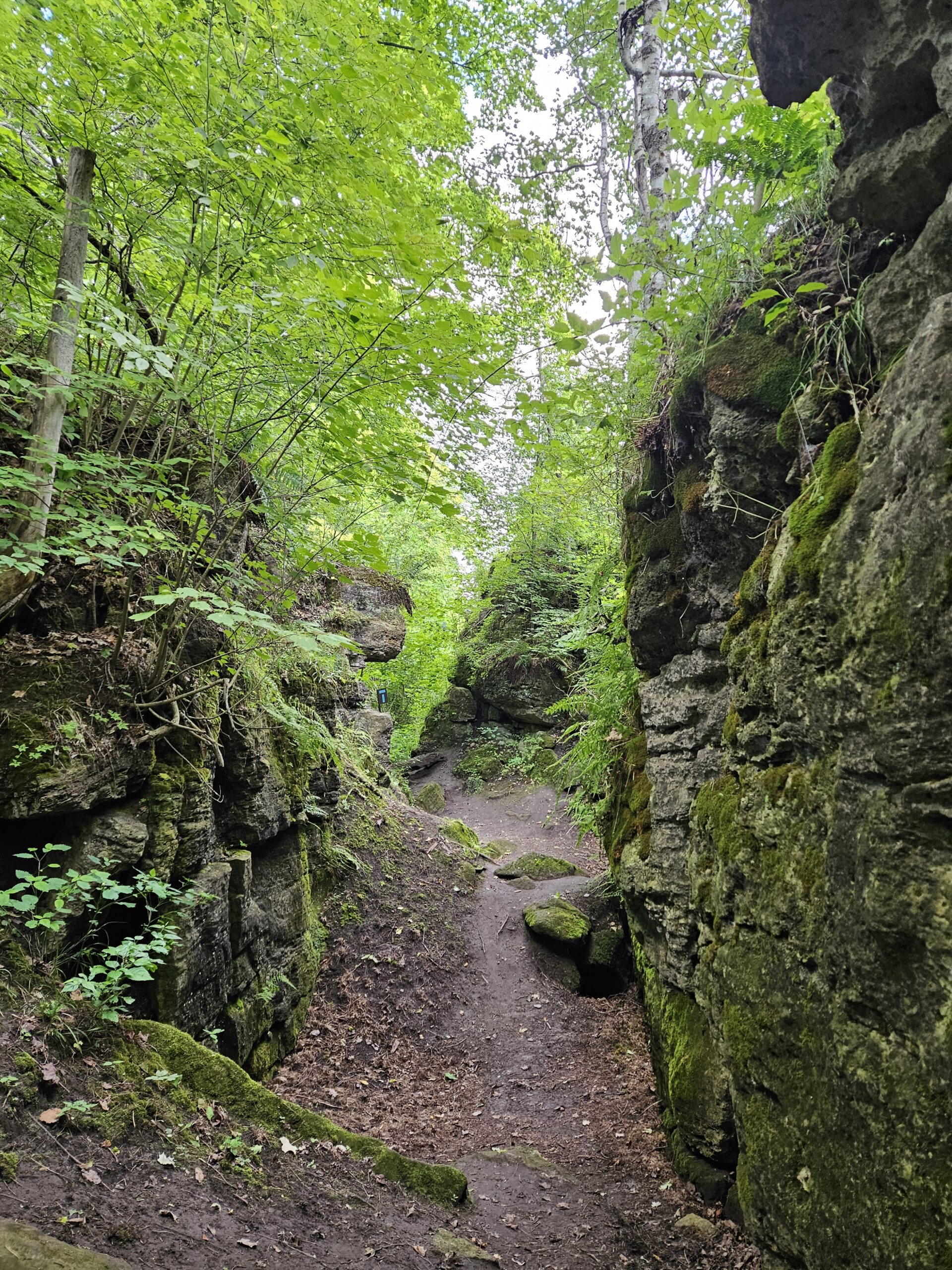
Let’s rock it out and explore the geology of Splitrock Narrows. We’ll hike at a leisurely pace over the approximately 4 km route as we look at Splitrock Narrows in a whole new way. Dr. Kathy Wallace will provide an introductory-level look at the geology of the area that welcomes your curiosity. Plan on a total time out less than two hours, a short snack/water break, and having your way of engaging with the trail expanded. You may wish to consider the following in your preparation: hat, sunscreen, insect repellent, poles, water, snack, rain gear. This interactive hike was created for a small group. No dogs please.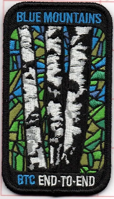
Blue Mountains Stained Glass E2E in 4 (Revised)
https://hikesstaging.brucetrail.org/event/blue-mountains-stained-glass-e2e-in-4-2-weekends/Sorry, the registration cut-off time for this hike has been reached.Not a member? Click here to join today!This is a Multi-Day Hike
You are signing up for the following dates and times:
2025-05-24 at 09:00
2025-05-25 at 09:00
2025-05-31 at 09:00
2025-06-01 at 09:00Hosting Club: Iroquoia, Blue Mountains
Category: Stained Glass Badge End to End Fundraiser Hike
Location (Google Maps):Hike Leader(s): Freddy Wang Click here to contact Hike Leader(s)
Pace: Brisk – 4 to 5 km/hr
Terrain: Slippery and Steep Sections, Strenuous – Hilly with steep climbs and some poor footing
Distance: Varies from 13-22 kmDescription
This is a special series of 4 hikes to complete the Blue Mountains section of the Bruce Trail over two weekends. There is an accomplishment badge, included in the registration fee – which was designed by Joe Borges. The fee goes towards supporting the Blue Mountains Bruce Trail Club, which in turn supports the mission of the Bruce Trail Conservancy, which is: “Preserving a ribbon of wilderness, for everyone, forever.”For this E2E in 6, we will be following the main trail southbound starting near Swiss Meadows and finishing in Lavender. Please note that you are signing up for the entire series of four hikes as a Group Hike. This series is geared to experienced hikers with the expectation of a 4.0 to 5.0 km/hr pace maintained over the hike distances below.
Day 1 – 17.8 km – The GPS coordinates for this day are provided.
Day 2 – 13.1 km
Day 3 – 22.4 km
Day 4 – 18.6 km
This hike is intended to be at a Brisk pace and through a very hilly section. Please be honest about your degree of physical fitness prior to registration. It is a group hike so it is important you are able to keep pace with the person in front of you.
Hikers will be expected to wear proper hiking footwear and layered clothing. Sufficient snacks, water (preferably warm), hiking poles, and weather-appropriate gear are recommended. Icers (crampons) may be necessary on certain days.
This series will require car shuttling, so you must be willing to drive and be a passenger.
A maximum of 1 of the 4 hikes can be self-completed as a result of scheduling challenges. You must still complete the distance you have missed. If you miss more than one but still complete the distances on your own, you may apply for the Blue Mountains Club’s regular or Winter End to End badge.
Please note there are no refunds!
Iroquoia BTC Trail Angels Hike
https://hikesstaging.brucetrail.org/event/iroquoia-btc-trail-angels-hike/Sorry, the registration cut-off time for this hike has been reached.Not a member? Click here to join today!Hosting Club: Iroquoia
Category: Special Event
Location (Google Maps): Meet in the parking lot at Cityview Park, at the second entrance on Kerns RdHike Leader(s): Karen Bergmann Click here to contact Hike Leader(s)
Pace: Medium – 3 to 4 km/hr
Terrain: Moderate – Some hills and/or some poor footing
Distance: 8 kmsDescription
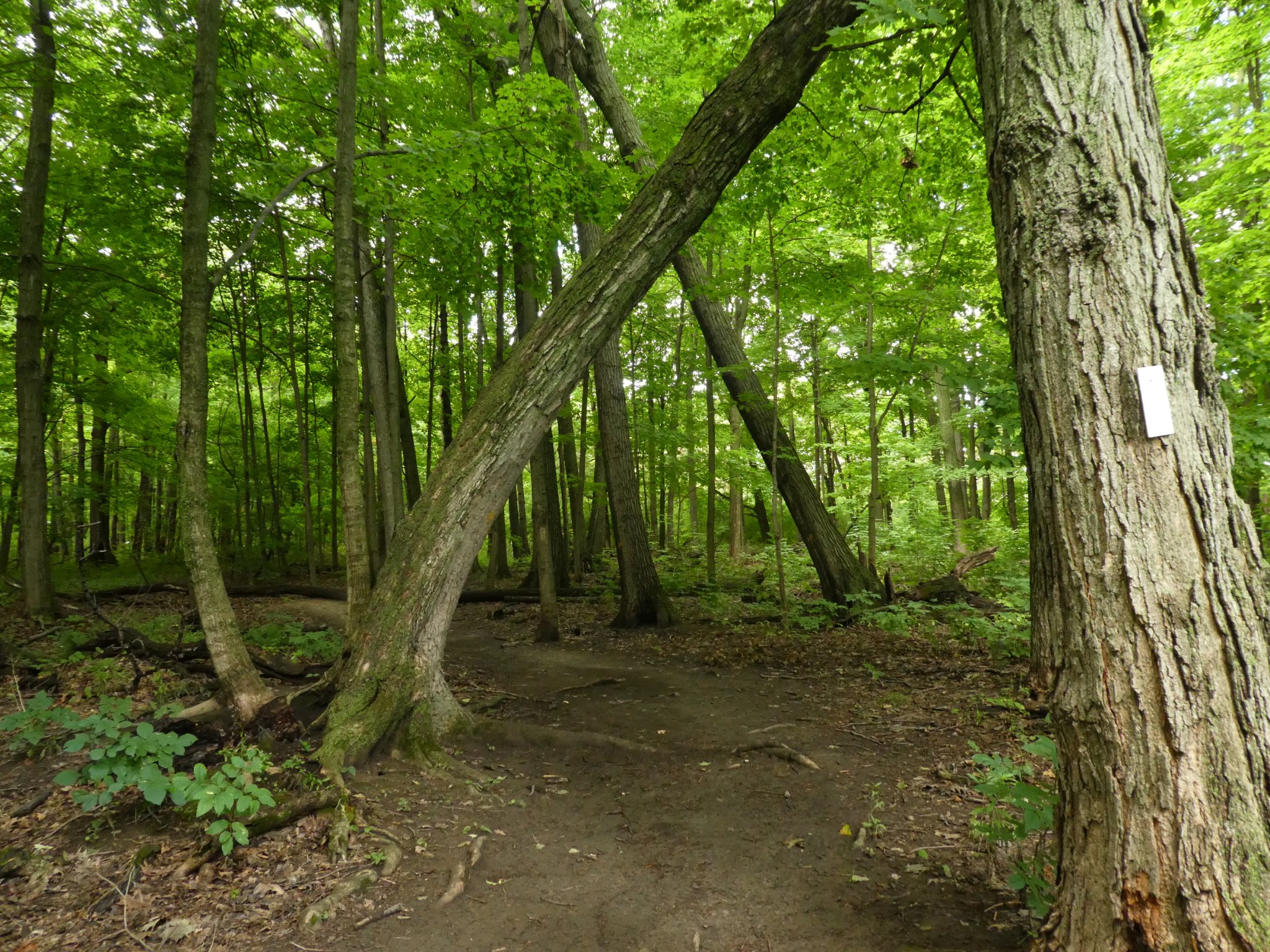
As a big thank you to all the volunteer Trail Angels in the Iroquoia BTC, we would love for you to join us for a hike at Cityview Park. We will offer a short hike (about 5 kms) and a longer hike (8 kms). This is a special event for Trail Angels and anyone interested in being a Trail Angel. We will hike along the main trail and bike trails and for the longer hike, along the McNally Side Trail.Hope to see you there!
Urban Wqalk: Toronto Urban Badge Hike - 4 of 7
https://hikesstaging.brucetrail.org/event/urban-wqalk-toronto-urban-badge-hike-4-of-7/Sorry, the registration cut-off time for this hike has been reached.Not a member? Click here to join today!Hosting Club: Toronto
Category: Urban Walk
Location (Google Maps): Finch Hydro Corridor Trail WestHike Leader(s): Brian Rideout Click here to contact Hike Leader(s)
Pace: Moderate (3-4 km/hr)
Terrain: Flat
Distance: 11.4 kmDescription
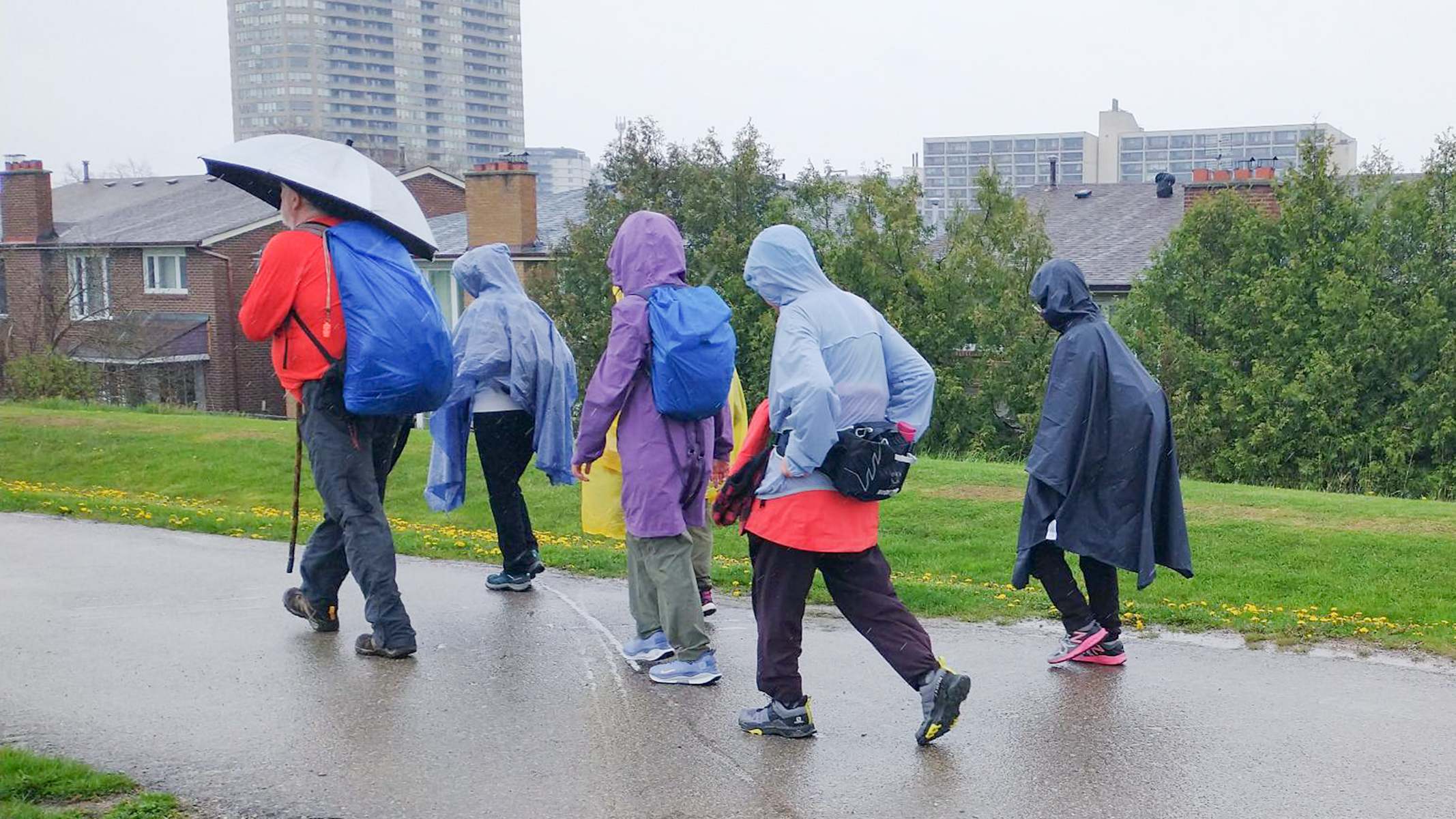
Please join me at the north west corner of Finch and Weston by 10 AM. We will hike east along the Finch Hydro Corridor Trail to Bathurst St (N of Finch) (km 30.2 to km 41.6). Here is an online map with km markings of our route for all 7 hikes for the Toronto Urban Badge: https://onthegomap.com/s/c2c1hf3nPlease make sure you bring at least 2 liters of water, a lunch, bug spray and sunscreen.
10:00am Invasive Species Removal Hike
https://hikesstaging.brucetrail.org/event/1000am-invasive-species-removal-hike-3/Sorry, the registration cut-off time for this hike has been reached.Not a member? Click here to join today!Hosting Club: Niagara
Category: Leisurely
Location (Google Maps): 85 Park Road South, Grimsby, ONHike Leader(s): Michele Altobelli Click here to contact Hike Leader(s)
Pace: Leisurely
Terrain: Moderate
Distance: 4kmDescription
Join us to HELP FILL THE CRIB!!We will hike in from Ridge Road picking invasive plants such as garlic mustard and greater celandine along the way (reusable grocery bags or garbage bags work well). Once at the crib location, we will dump our bags and pick garlic mustard in that area for a while, dump it, then hike back out. Plenty of native spring plants to admire along the way – reducing invasive plants will give these species a chance to thrive!
- you must register and submit a completed waiver for this hike
- Students under 16 MUST be accompanied by a parent/guardian on this hike (please refer to the BTC link https://brucetrailorg.b-cdn.net/wp-content/uploads/2022/06/VOL.05.01_Minors_Volunteering_Policy_-_Approved_February_2016.pdf )
- 16 or more but under 18? Bring a waiver signed by a guardian.
- students wishing to receive community service hours (4Hours) MUST bring service forms from school.
- Please wear clothes for work – long pants tucked into socks, appropriate footwear (no sandals), long sleeves and work gloves
- please bring empty bags for collecting
Blue Mountains Annual End to End-BBQ Only
https://hikesstaging.brucetrail.org/event/blue-mountains-annual-end-to-end-bbq-only/Sorry, the registration cut-off time for this hike has been reached.Not a member? Click here to join today!Hosting Club: Blue Mountains
Category: Organized Hike
Location (Google Maps):Hike Leader(s): Robert Johnston Click here to contact Hike Leader(s)
Pace: Leisurely – 3 km/hr. or less
Terrain: Easy – Mostly flat and usually good footing
Distance: 0Description
We’re firing up the Grill with hot dogs and hamburgers! Blue Mountain Club Members and friends are invited to join in at the E2E BBQ. Come on out to socialize and welcome our hikers in after their first day.Please note if you are registered for either the 2 Day or 3 Day E2E you are already registered for the BBQ. No need to register and pay for this.
There is no badge for this event other than the coveted mustard and ketchup stain!
Registration will be open until Friday, May 23.
BBQ will be held Saturday 24 May 1 pm to 5 pm at Highlands Nordic