
Hike Schedule
Join us for a hike! Registration required.
All hikes available to BTC members. Some hikes are open to non-members.
See Refund Policy for Paid Hikes >
TIP: The calendar view displays up to 7 hikes on a day, but often there are more. Click “View more events” to see them all.
Categories
- 22April 22, 2025
Peninsula in 6 Challenger Series
https://hikesstaging.brucetrail.org/event/peninsula-in-6-challenger-series/Sorry, the registration cut-off time for this hike has been reached.Not a member? Click here to join today!Hike open to BTC Members only.
This is a Multi-Day Hike
You are signing up for the following dates and times:
2025-04-22 at 07:30
2025-04-23 at 07:00
2025-04-24 at 07:00
2025-04-29 at 07:30
2025-04-30 at 07:00
2025-05-01 at 07:00Hosting Club: Sydenham, Peninsula
Category: General Hike
Location (Google Maps): Bluewater Park, Wiarton, parking area opposite arena – First Hike only – Schedule with coordinates will be sent for remaining hikes to registered hikersHike Leader(s): Margaret O’Dell Click here to contact Hike Leader(s)
Pace: Brisk: 4 to 5 km/h, Fast: more than 5 km/h
Terrain: Strenuous: Hilly with steep climbs and some poor footing., There might be sections with water on the trail.Description
This is a Challenger series of hikes; we will complete the entire 163.1 km of the Peninsula section in 6 hikes. You are registering for 6 hikes, please review the dates carefully to ensure you are able to participate fully. Registration is limited to 6 persons.- This hike series is intended for experienced distance hikers only. Hikers must be able to sustain the distance and maintain a fast pace.
- If a hiker is unable to keep pace with the group, or finds the distance too challenging, their future hike registrations may be canceled by the hike leader.
- Be very aware of your ability to join this series.
- Hikes will average 4.5 km per hour including breaks, moving pace is 5 km per hour;
- Expect to be on-trail for 6 – 8 hours;
- Please arrive no later than 15 minutes prior to the meeting time;
- Hikers must carry sufficient hydration, accessible snacks, lunch, first-aid kit, rain gear, extra socks, and possibly protective boot covers (i.e. bags);
- Hikers will be expected to participate in shuttling hikers to the start and to drive shuttlers back to their car. Responsibility will be shared equally;
- Any applicable parking fees will be shared within the group.
Summary of the itinerary (km based on Bruce Trail Reference – Edition 31):
- Apr 22: Sydney Bay Rd to Wiarton Bluewater Park – 31.7 km
- Apr 23: Sydney Bay Rd to Rush Cove – 26.4 km
- Apr 24: Richardson Side Trail to Rush Cove – 28.6 km
- Apr 29: Richardson Side Trail to Dyers Bay – 26 km
- Apr 30: Dyers Bay to Halfway Dump – 27.5 km
- May 1: Halfway Dump to Tobermory – 25.2 km
A detailed schedule will be provided in advance of the series to registered hikers.
If you have concerns, or questions please use the Contact Hike Leader form to inquire in advance of registering.
EARTH DAY,
https://hikesstaging.brucetrail.org/event/earth-day/Sorry, the registration cut-off time for this hike has been reached.Not a member? Click here to join today!Hosting Club: Niagara
Category: Event Hikes
Location (Google Maps): 5 St Paul St, St Catharines, On.Hike Leader(s): Diane Marlatt Click here to contact Hike Leader(s)
Pace: Leisurely
Terrain: Easy
Distance: 5kmDescription
EARTH DAY, 5km loop on 12 Mile Creek, bonus stay to help with clean-up/tree planting! Sally McGraw Real Estate has offered free parking at the back lot. Lindsay Taylor, Certified Arborist will give a short talk on the history and work being done on the 12 Mile Creek.9:00 Decew House (LOCATION CHANGE)
https://hikesstaging.brucetrail.org/event/900-decew-house-location-change-4/Sorry, the registration cut-off time for this hike has been reached.Not a member? Click here to join today!Hosting Club: Niagara
Location (Google Maps): Decew House St Catharines
Pace: Medium
Terrain: Moderate
: 10kmDescription
Explore 12 mile creek and surrounding areas. Register for each hikeBring Poles, snack, and dress for the weather
9:15 Short Hike - Rotary Park, St. Catharines
https://hikesstaging.brucetrail.org/event/915-short-hike-rotary-park-st-catharines-18/Sorry, the registration cut-off time for this hike has been reached.Not a member? Click here to join today!Hosting Club: Niagara
Category: In and Out
Location (Google Maps): Rotary Park, St. CatharinesHike Leader(s): Debbie Demizio Click here to contact Hike Leader(s)
Pace: Medium
Terrain: Moderate
Distance: ~ 6kmsDescription
Hike the trails around Rotary Park. Bring hiking boots and water.Hockley Valley, Map 18
https://hikesstaging.brucetrail.org/event/hockley-valley-map-18-2/Sorry, the registration cut-off time for this hike has been reached.Not a member? Click here to join today!Hosting Club: Caledon Hills
Category: Tuesday Hikers
Location (Google Maps): Meet at Hockley Road parking lot, north of Hockley Rd. and east of 2nd Line EHS.
DIRECTION: Go on Highway 410 north, this becomes Highway 10 north. After passing through Orangeville turn right on Hockley Road (7), drive about 5 km, shortly after passing 2nd Line EHS, BT parking lot is on the left.Hike Leader(s): Mohammad Shafiq Click here to contact Hike Leader(s)
Pace: Medium – 3 to 4 km/hour
Terrain: Strenuous – hilly with steep climbs and some poor footing
Distance: 10 kmDescription
Will hike parts of Hockley Valley trails; Glen Cross, Isabel East and Tom East connected by sections of main Bruce Trail. Bring hydration drink and snack. Hiking poles are strongly recommended, the distance may be shortened depending on weather conditions. Pace will vary due to hilly sections.
After hike there is optional refreshment stop, Hockley General or other place nearby.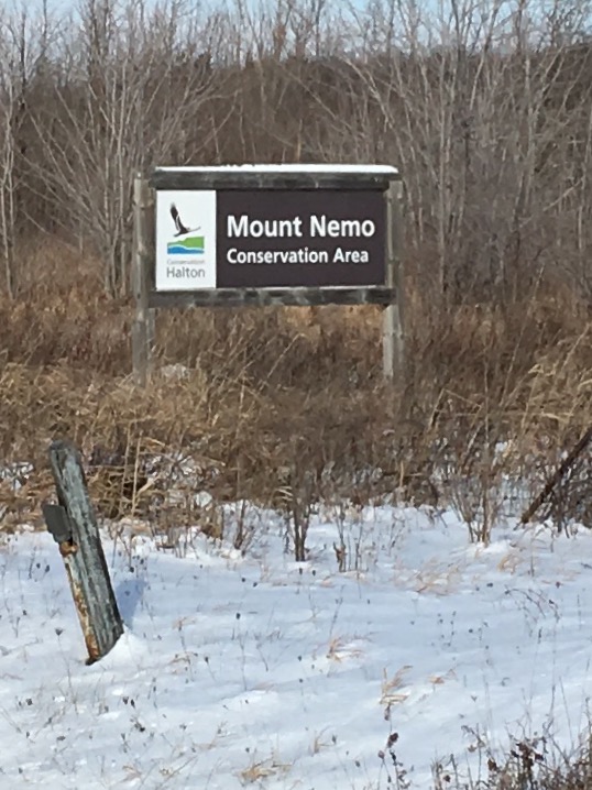
Mt. Nemo to Kilbride
https://hikesstaging.brucetrail.org/event/mt-nemo-to-kilbride-2/Sorry, the registration cut-off time for this hike has been reached.Not a member? Click here to join today!Hosting Club: Iroquoia
Category: General Hike
Location (Google Maps): We will meet/park at the back of Kilbride Public School (6611 Panton St.) at 9:30 SHARP and then shuttle to the lower parking lot of Mt Nemo CA (Walkers Line). I will need drivers with a Halton Conservation Pass to help shuttle hikers and would appreciate it if you would preregister a spot at the Mt Nemo parking lot. Thank you!Hike Leader(s): Karen Capindale-Smith Click here to contact Hike Leader(s)
Pace: Medium – 3 to 4 km/hr
Terrain: Strenuous – Hilly with steep climbs and some poor footing
Distance: 12 kmDescription
We will be following the BT up the escarpment and into Mt Nemo CA. We will be completing the North loop of the CA before leaving the park and walking along side various country properties before descending into the Cedar Springs Valley. From there we will cross Bronte Creek before climbing a series of strenuous hills out of the valley and into the village of Kilbride. Please remember to bring appropriate clothing/footwear, water, a snack and lunch.Baked good can be expected 🙂
Speyside to Vanderleck ST return
https://hikesstaging.brucetrail.org/event/speyside-to-vanderleck-st-return-4/Sorry, the registration cut-off time for this hike has been reached.Not a member? Click here to join today!Hosting Club: Iroquoia
Category: General Hike
Location (Google Maps): Meet at the Speyside Pear Tree parking lot on 15 Side Road at 9:15 am.Hike Leader(s): Karen Bergmann Click here to contact Hike Leader(s)
Pace: Medium – 3 to 4 km/hr
Terrain: Moderate – Some hills and/or some poor footing
Distance: 8 kmsDescription
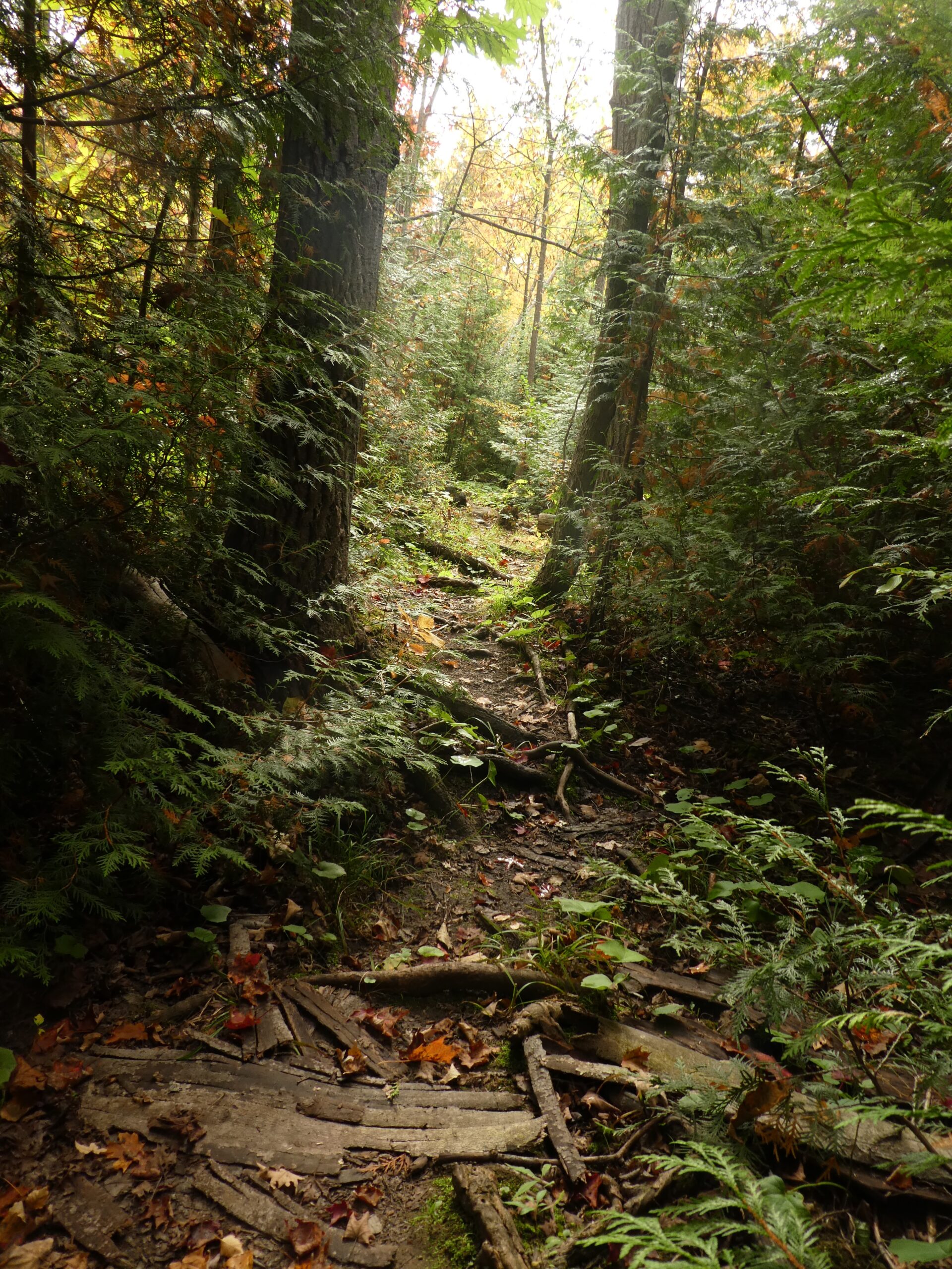
We will hike the main trail from Speyside, to the Al Shaw ST, Hilton Falls ST and onto the Vanderleck ST up to 17 Side Road and then return the same way. There are some very technical (rocky) sections on this hike but no major hills. Bring icers for your boots.Dufferin Hi-Land 60th Anniversary Highlight Hikes, Hike 1: Mono Cliffs/Laidlaw and South Outlier Side Trails
https://hikesstaging.brucetrail.org/event/dufferin-hi-land-60th-anniversary-highlight-hikes-hike-1-mono-cliffs-laidlaw-and-south-outlier-side-trails/Sorry, the registration cut-off time for this hike has been reached.Not a member? Click here to join today!Hosting Club: Dufferin Hi-Land
Category: Tuesday Hike
Location (Google Maps):Dufferin Hi-Land Section, Map 19. Meet at Mono Community Centre hiker parking area off of 2nd Line Mono at south end of Mono Centre village.
Hike Leader(s): Les Babbage, Inge Eckerich, Julie Daley, Tony Evangelista Click here to contact Hike Leader(s)
Pace: Leisurely, Medium
Terrain: Easy
Distance: Long hike: 5.6 km; Short: 2 kmDescription
Join us in celebrating the 60th anniversary of the Dufferin Hi-Land Bruce Trail Club. The Club plans to award a 60th Anniversary badge to any hiker who completes 60 km of Dufferin Hi-Land trails – Main or Side Trails. Our Tuesday Hike group is offering a series of 10 hikes, covering most of the highlights of our section that meet this requirement. If you can’t make all of the hikes, make ups are allowed. Just hike 60K in Dufferin during 2025 and you qualify for the badgeToday’s hike will take the west arm of the Laidlaw Side Trail to the Main Trail. The short hike will return by way of the east arm of the Laidlaw Side Trail. The longer hike will continue on to the South Outlier Side Trail, returning by way of the Main Trail and the east arm of the Laidlaw Side Trail. Bring water, snacks and lots of enthusiasm!